Elevation of 50 Waterboro Rd, Alfred, ME, USA
Location: United States > Maine > York County > Alfred >
Longitude: -70.718484
Latitude: 43.4801771
Elevation: 79m / 259feet
Barometric Pressure: 100KPa
Elevation Map:
Satellite Map:
Related Photos:

Slow Boat to.....Cynthia at Estes Lake

Another view.

♥ ♥ ♥

Where Clouds and Snow Meet b&w

Magical Mystery Tour

Frozen Falls

Rt 202 stone bridge

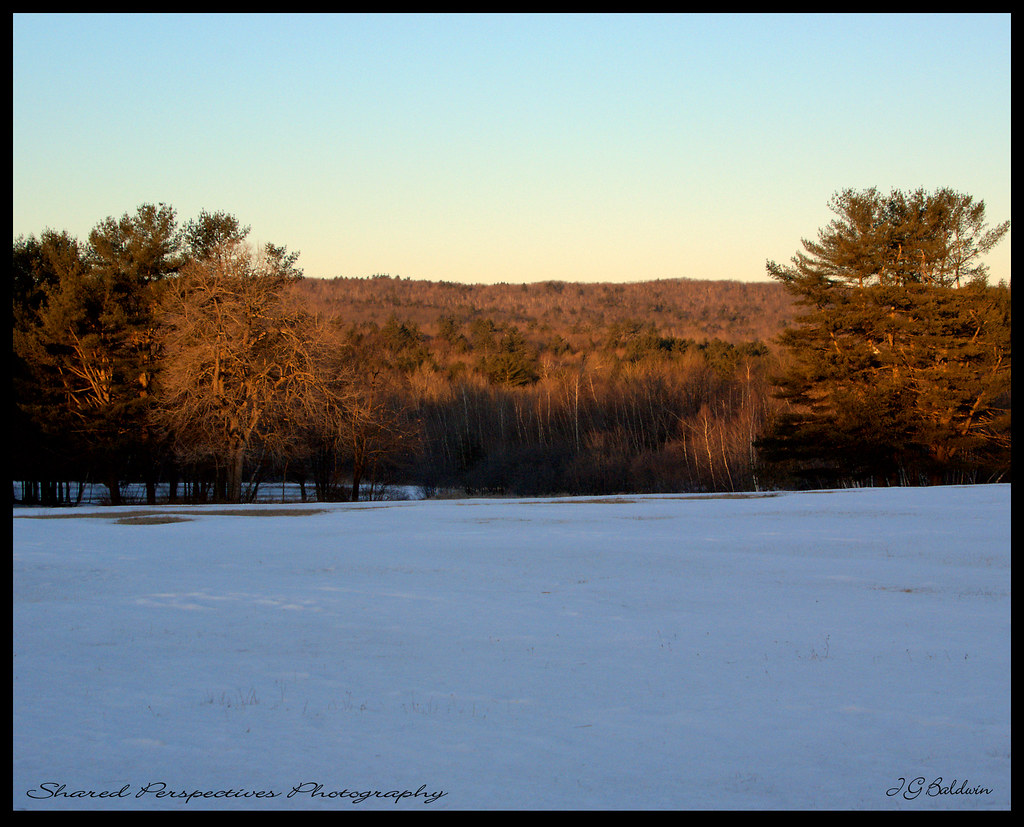
Morning View

Sharing the day and the view with our good friend Donna ;-), Mousavi Lake in Shapleigh

Little Ossipee foggy sunrise
Sun kissed trees

Ice formation

blue heron crouching

morning view from hospital hill

METpke-SB-nearBiddeford
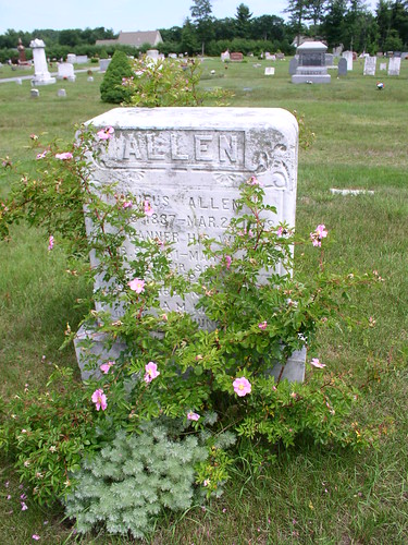
Rufus Allen

Kennebunk Rd dam

view across mousam

Tonight's sunset from River Road in Dayton

Tennis shoes and the Nubble Lighthouse in Maine

Twilight on the Pond

Peninsula and Jet Ski

Clouds Breaking
Farewell ho Fall, Wadleigh Pond

The marshy side of Wadleigh Pond
Cooks Brook in Dayton, Maine

Storm Front

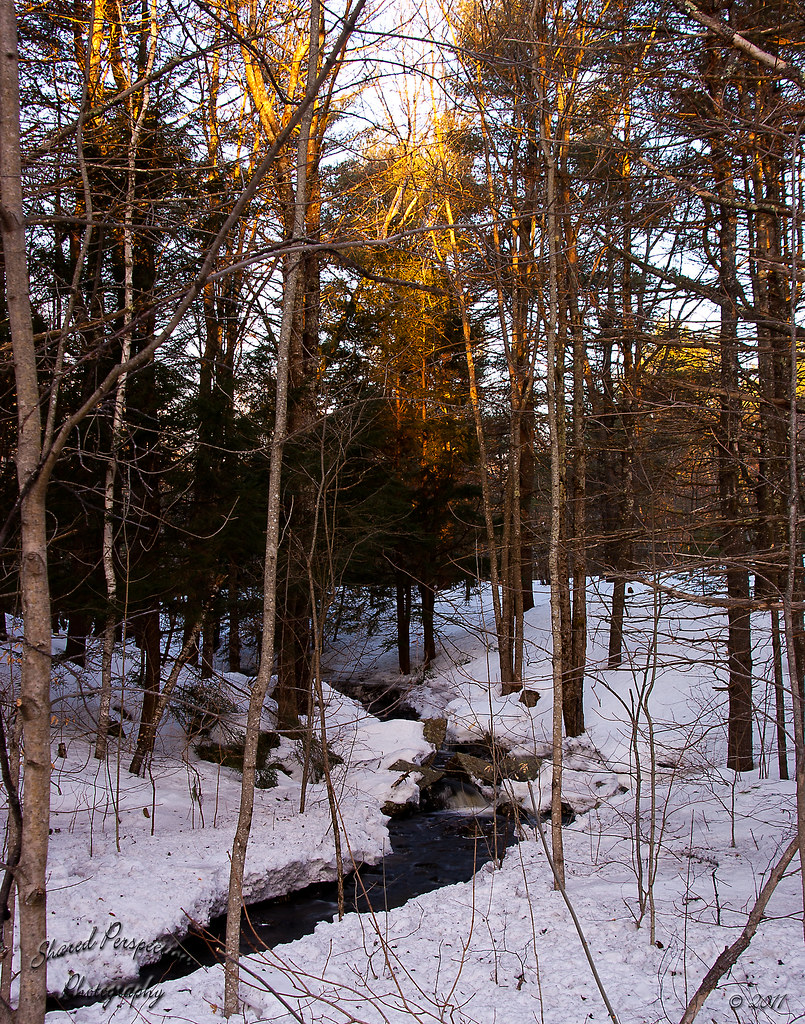
Little Falls, Cooks Brook in Dayton

Sun on the hill

Strange Light

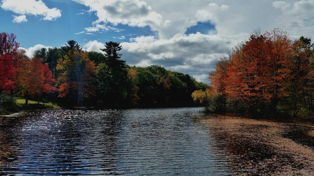
Cooks Brook in Dayton

Spring's Rage

Little Falls, Cooks Brook, Dayton

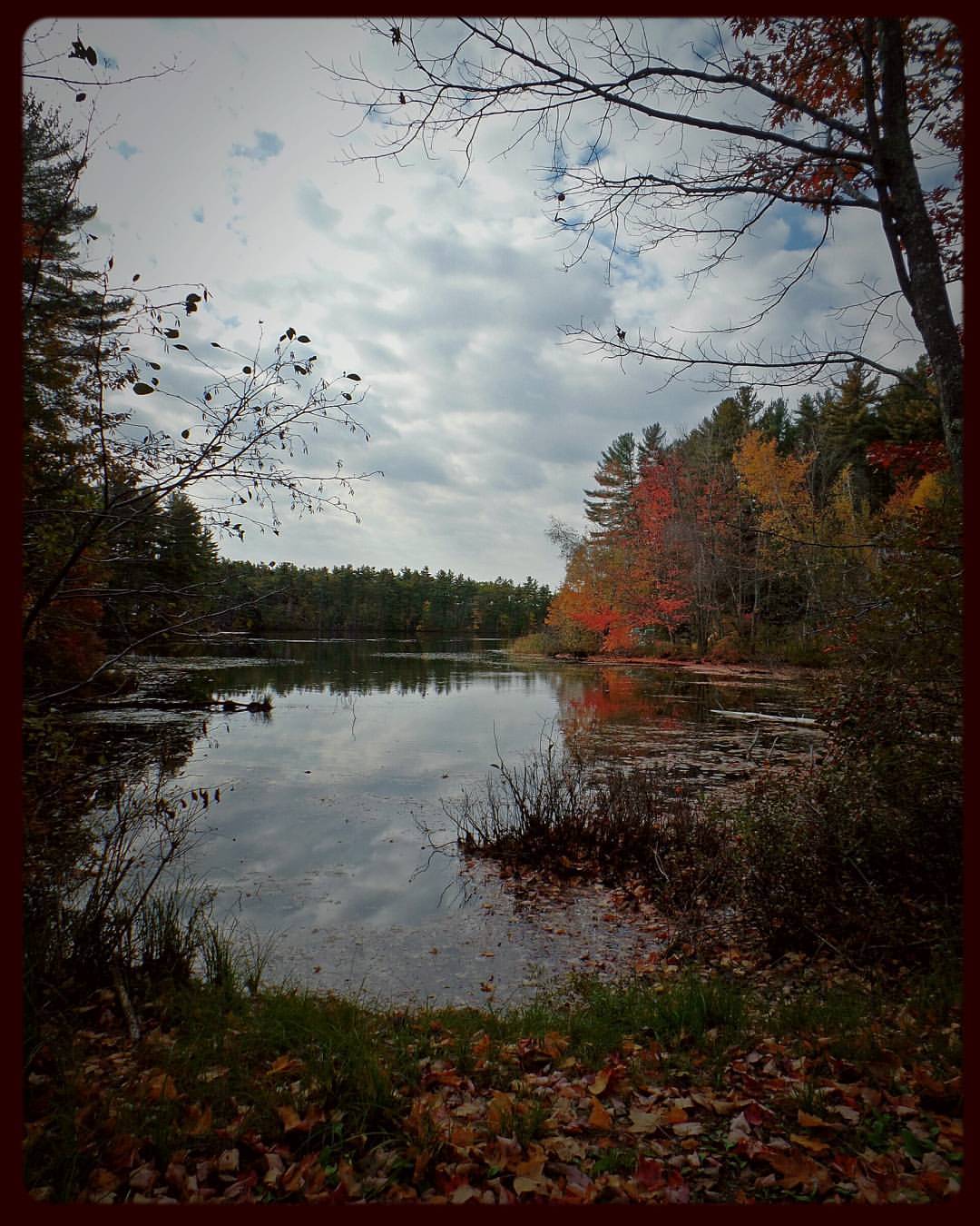
"Autumn Gold"

Bunganut Lake - Alfred, ME

Picture 066
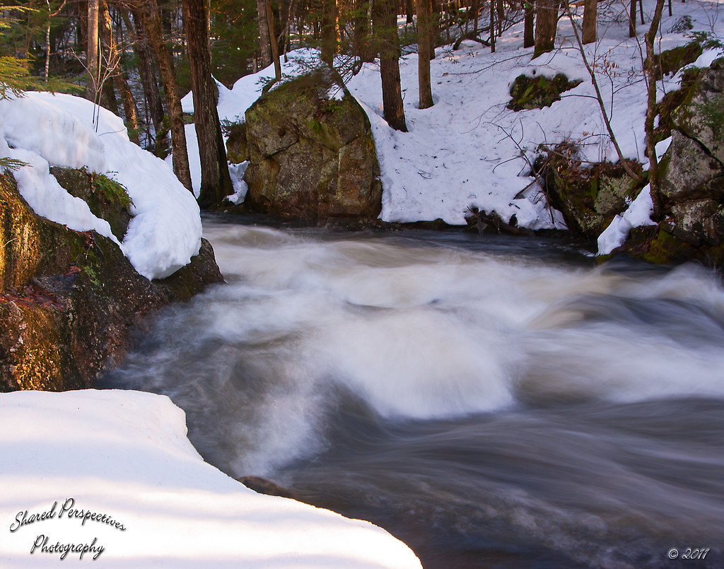
Raging Waters
Morning Light
Topographic Map of 50 Waterboro Rd, Alfred, ME, USA
Find elevation by address:

Places near 50 Waterboro Rd, Alfred, ME, USA:
8 Kennebunk Rd
Alfred
Brackett Hill
Waterboro
Shaws Ridge Road
6 James Dr
Gore Rd, Alfred, ME, USA
54 Fort Ridge Rd
60 Fort Ridge Rd
62 Straw Mill Brooke Rd
62 Straw Mill Brooke Rd
62 Straw Mill Brooke Rd
55 Straw Mill Brooke Rd
Sanford
Sanford
19 School St
328 Elm St
12 Hoyt St
14 Grove St
54 Schuler St
Recent Searches:
- Elevation of Pu Ngaol Community Meeting Hall, HWHM+3X7, Krong Saen Monourom, Cambodia
- Elevation of Royal Ontario Museum, Queens Park, Toronto, ON M5S 2C6, Canada
- Elevation of Groblershoop, South Africa
- Elevation of Power Generation Enterprises | Industrial Diesel Generators, Oak Ave, Canyon Country, CA, USA
- Elevation of Chesaw Rd, Oroville, WA, USA
- Elevation of N, Mt Pleasant, UT, USA
- Elevation of 6 Rue Jules Ferry, Beausoleil, France
- Elevation of Sattva Horizon, 4JC6+G9P, Vinayak Nagar, Kattigenahalli, Bengaluru, Karnataka, India
- Elevation of Great Brook Sports, Gold Star Hwy, Groton, CT, USA
- Elevation of 10 Mountain Laurels Dr, Nashua, NH, USA