Elevation of 60 Fort Ridge Rd, Alfred, ME, USA
Location: United States > Maine > York County > Alfred >
Longitude: -70.769621
Latitude: 43.5213828
Elevation: 117m / 384feet
Barometric Pressure: 100KPa
Elevation Map:
Satellite Map:
Related Photos:
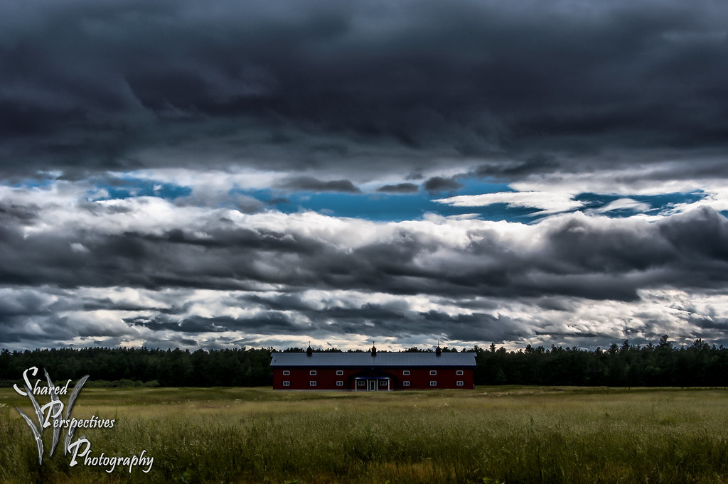
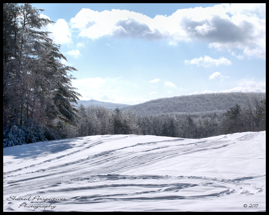
"Clearing Skies"
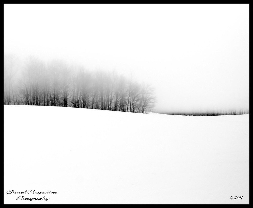
Where Clouds and Snow Meet b&w

Magical Mystery Tour

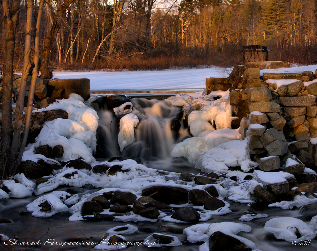
Frozen Falls
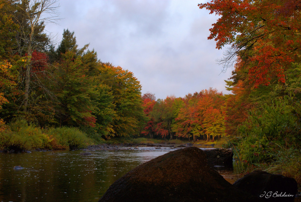
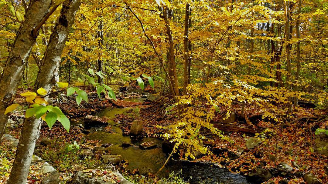
Autumn river

Slow Boat to.....Cynthia at Estes Lake
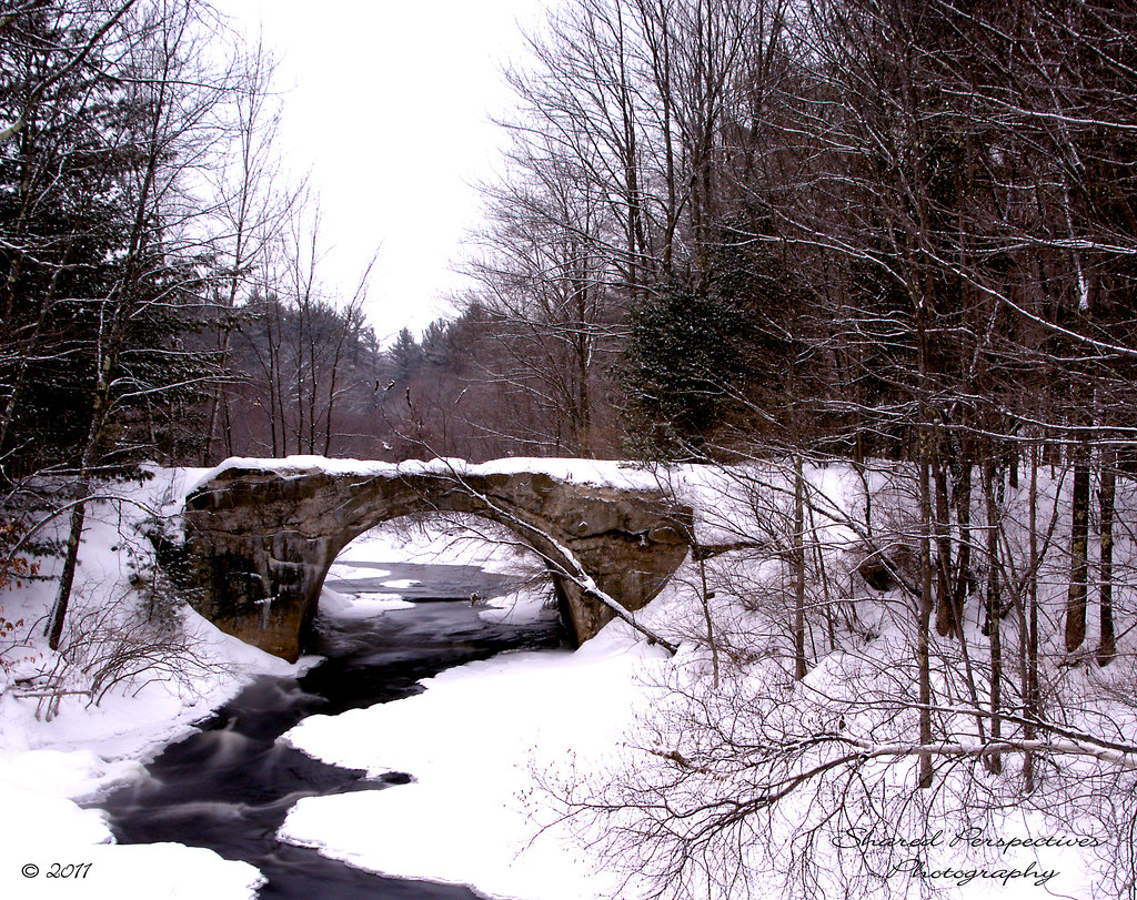
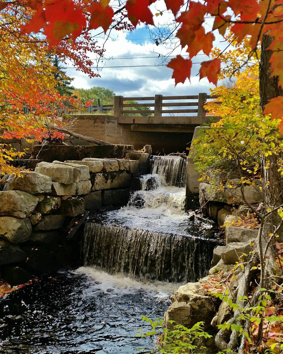
Rt 202 stone bridge

Another view.
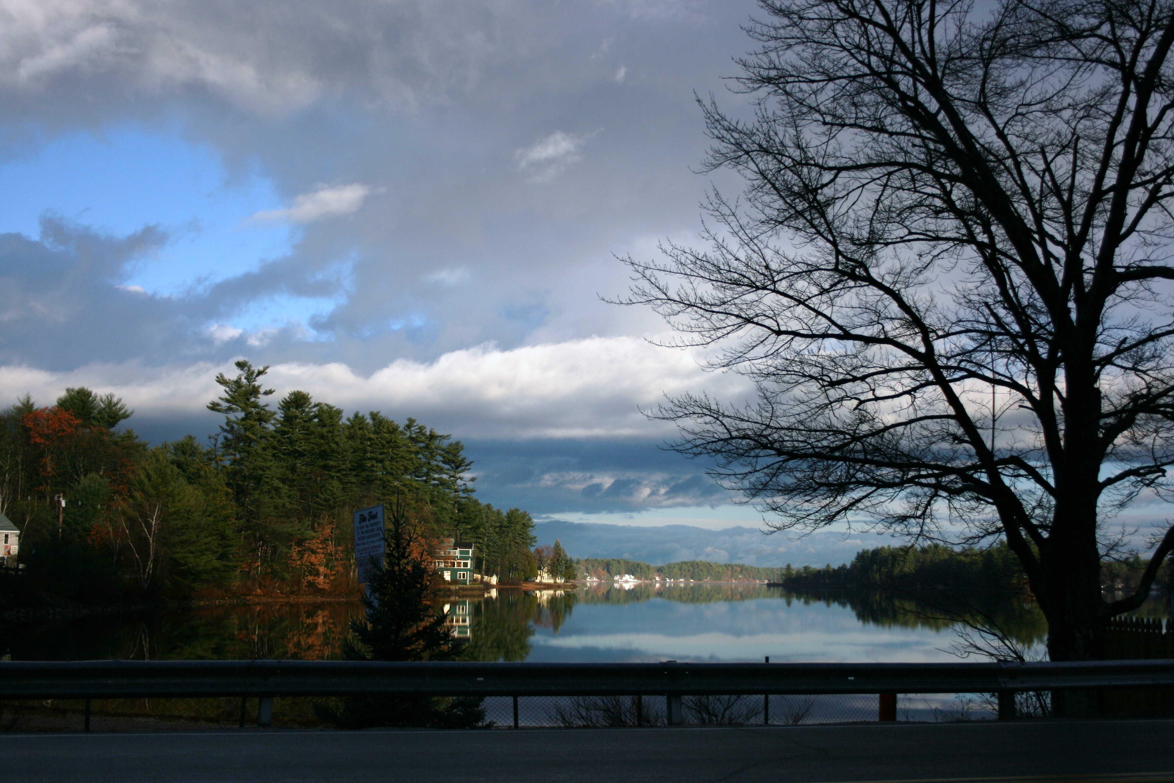
Morning View
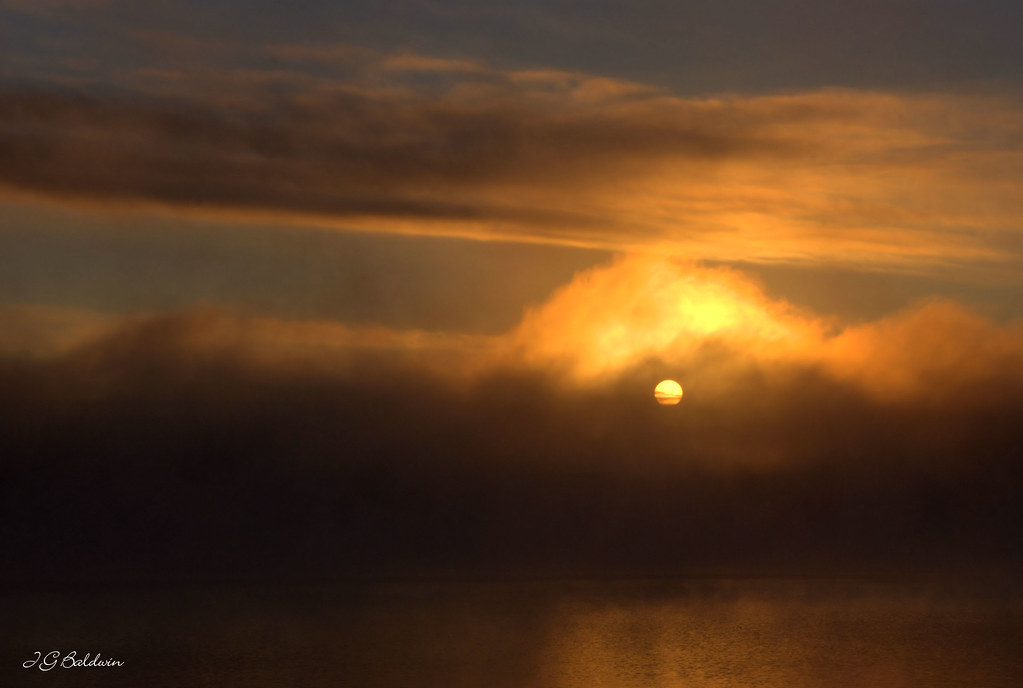
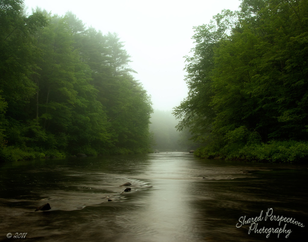
Little Ossipee foggy sunrise
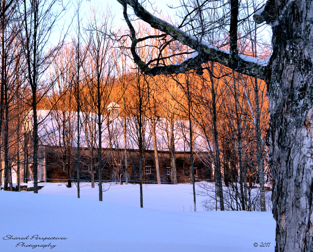
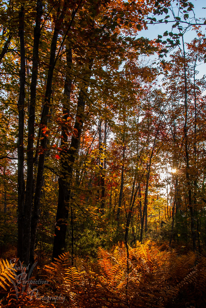
Beyond the Maple Trees
Sun kissed trees

♥ ♥ ♥
Icy Hills
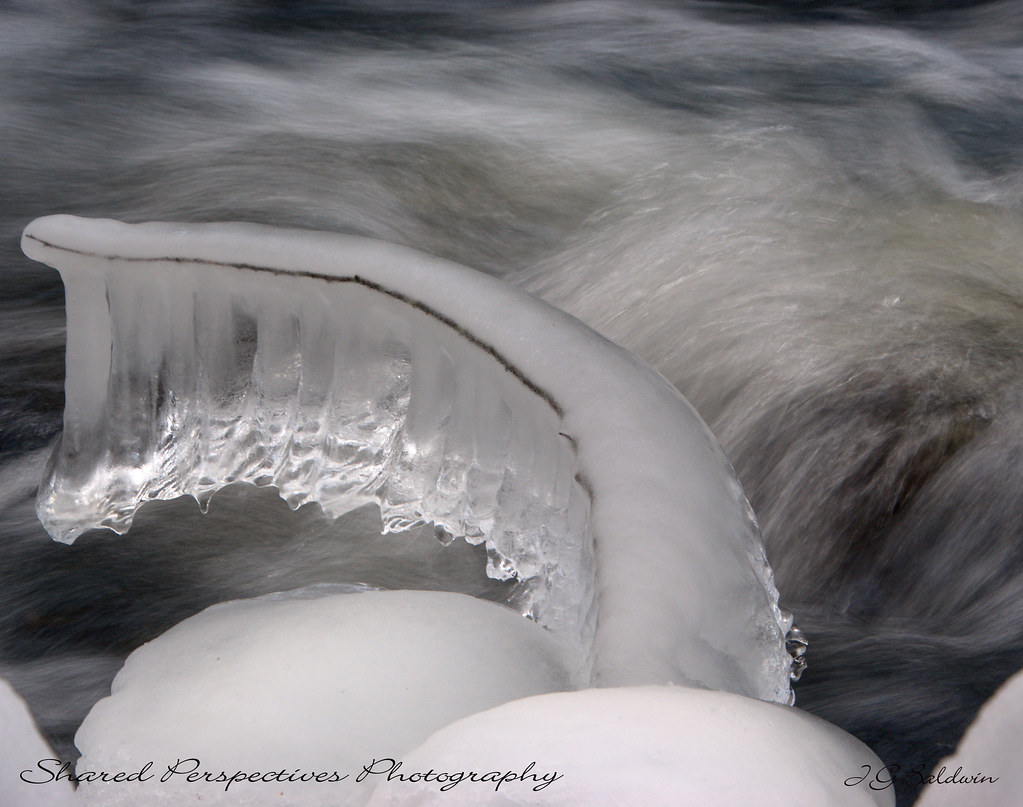
Ice formation
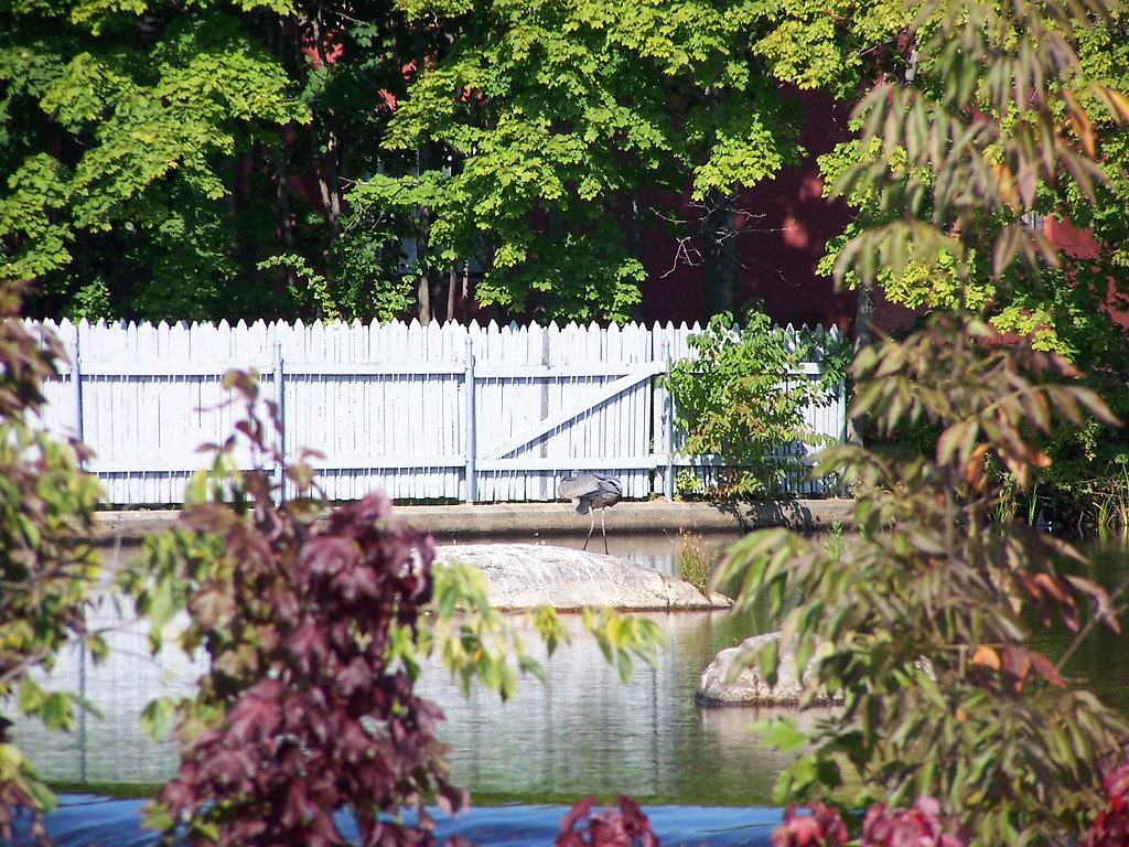
blue heron crouching
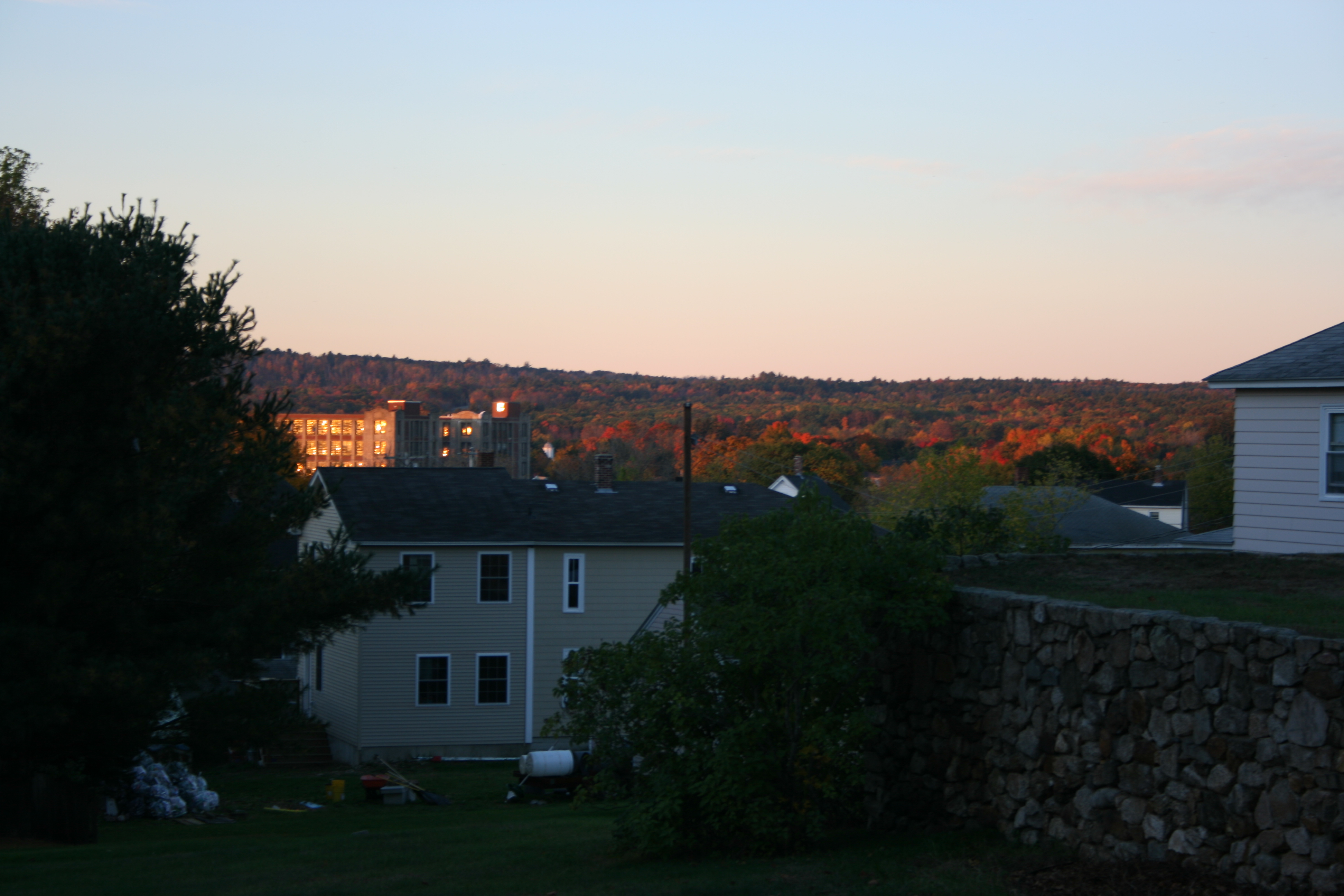
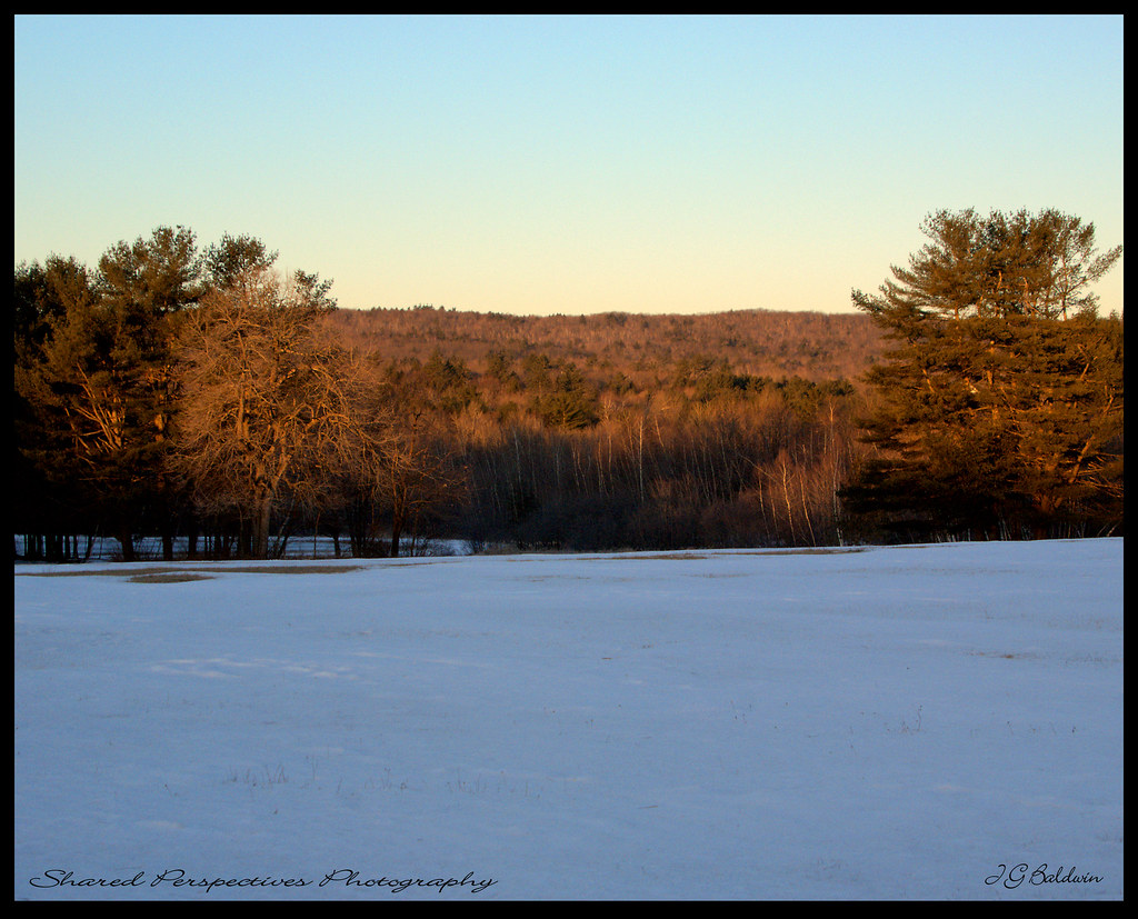
morning view from hospital hill
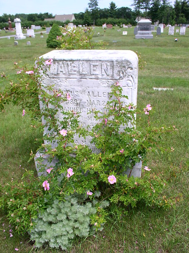
Rufus Allen
Kennebunk Rd dam
view across mousam
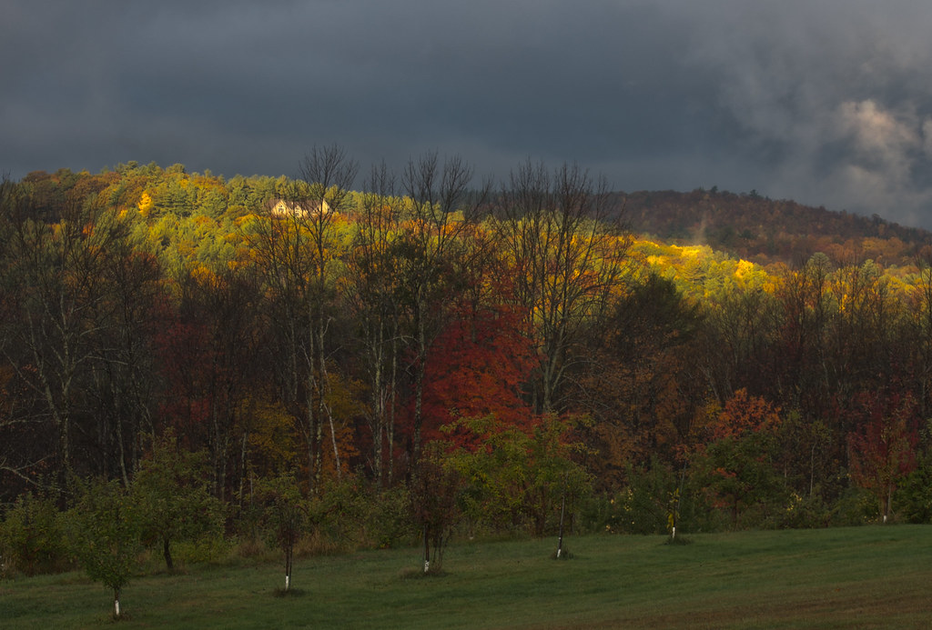
Sun on the hill
Strange Light
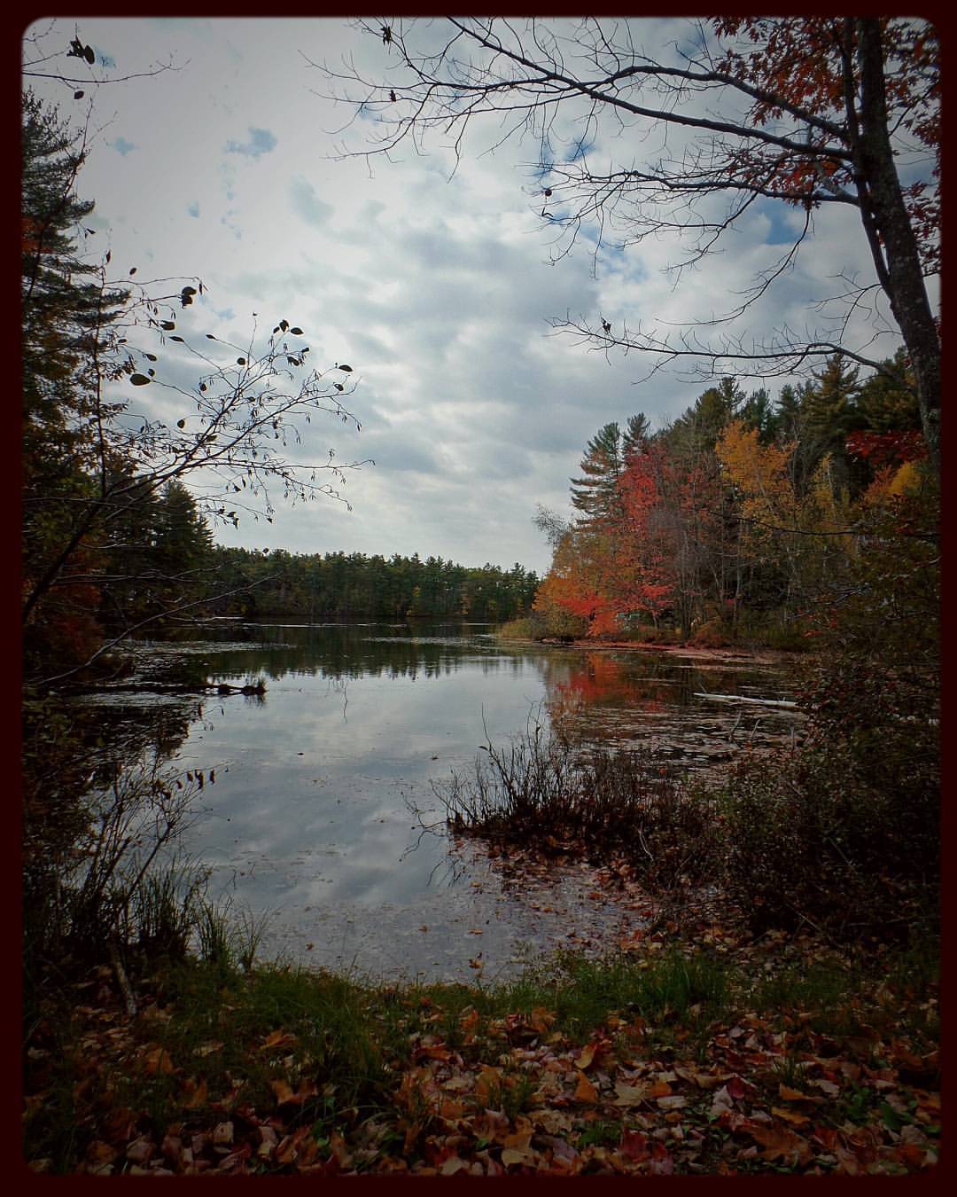
Farewell ho Fall, Wadleigh Pond
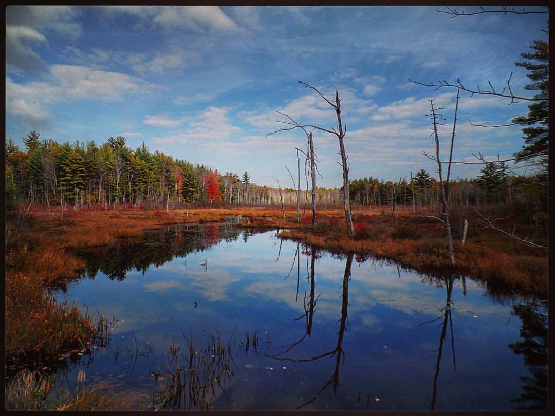
The marshy side of Wadleigh Pond

Spring's Rage
Foggy Start
Little Falls, Cooks Brook in Dayton
Cooks Brook in Dayton
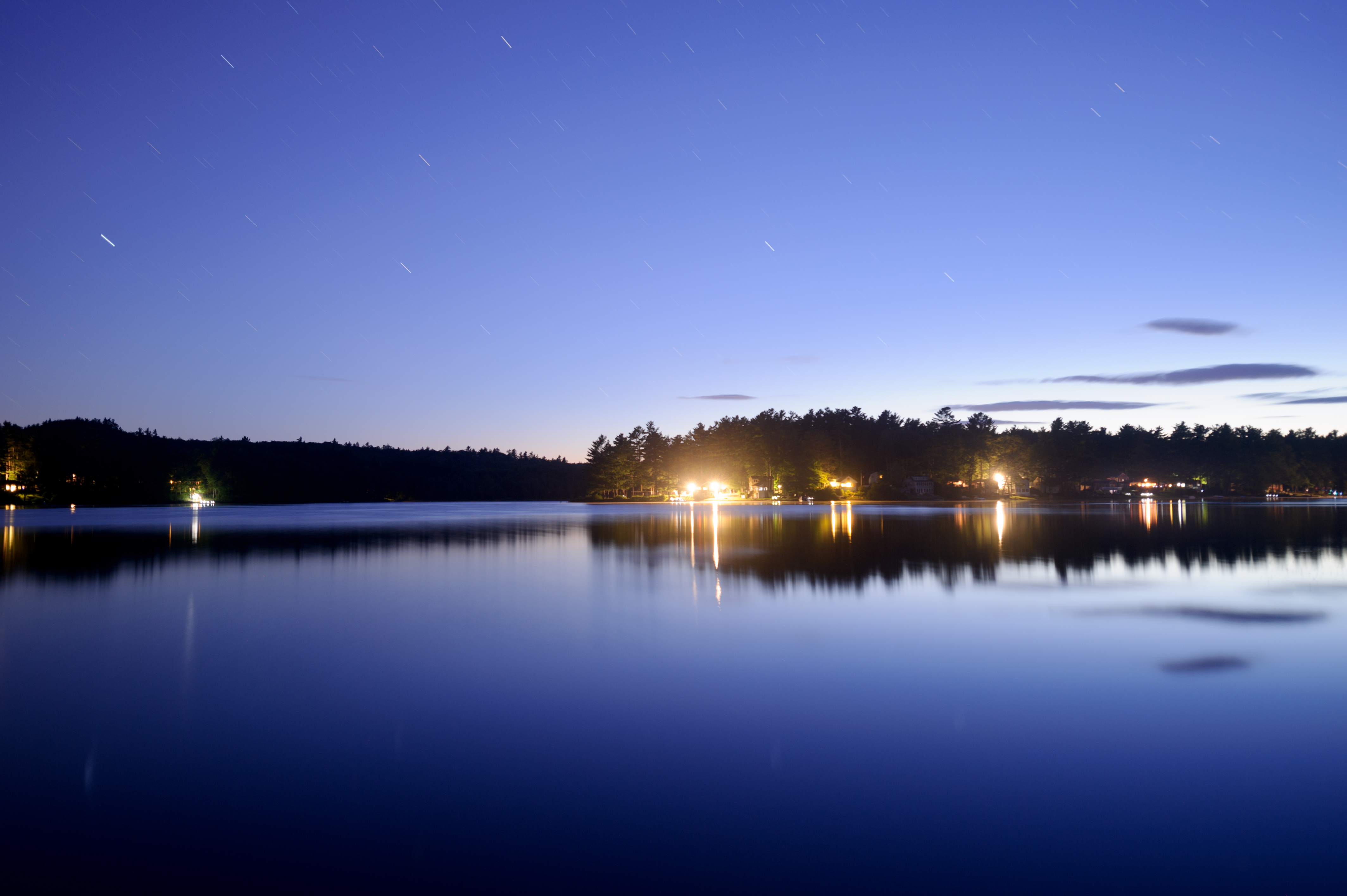
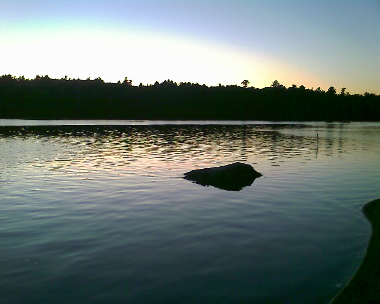
Twilight on the Pond
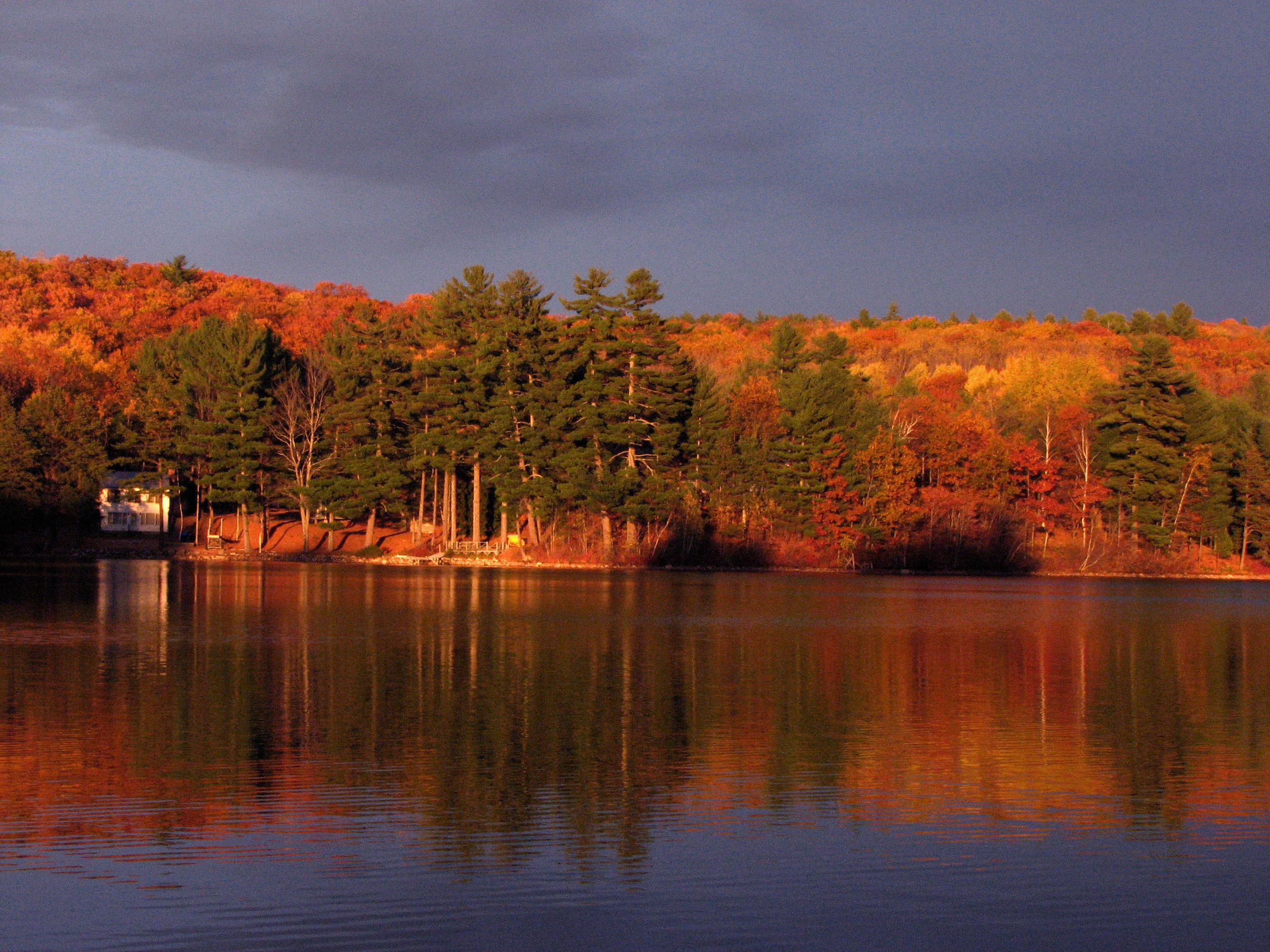
"Autumn Gold"
Bunganut Lake - Alfred, ME
Picture 066
Little Falls, Cooks Brook, Dayton
Raging Waters
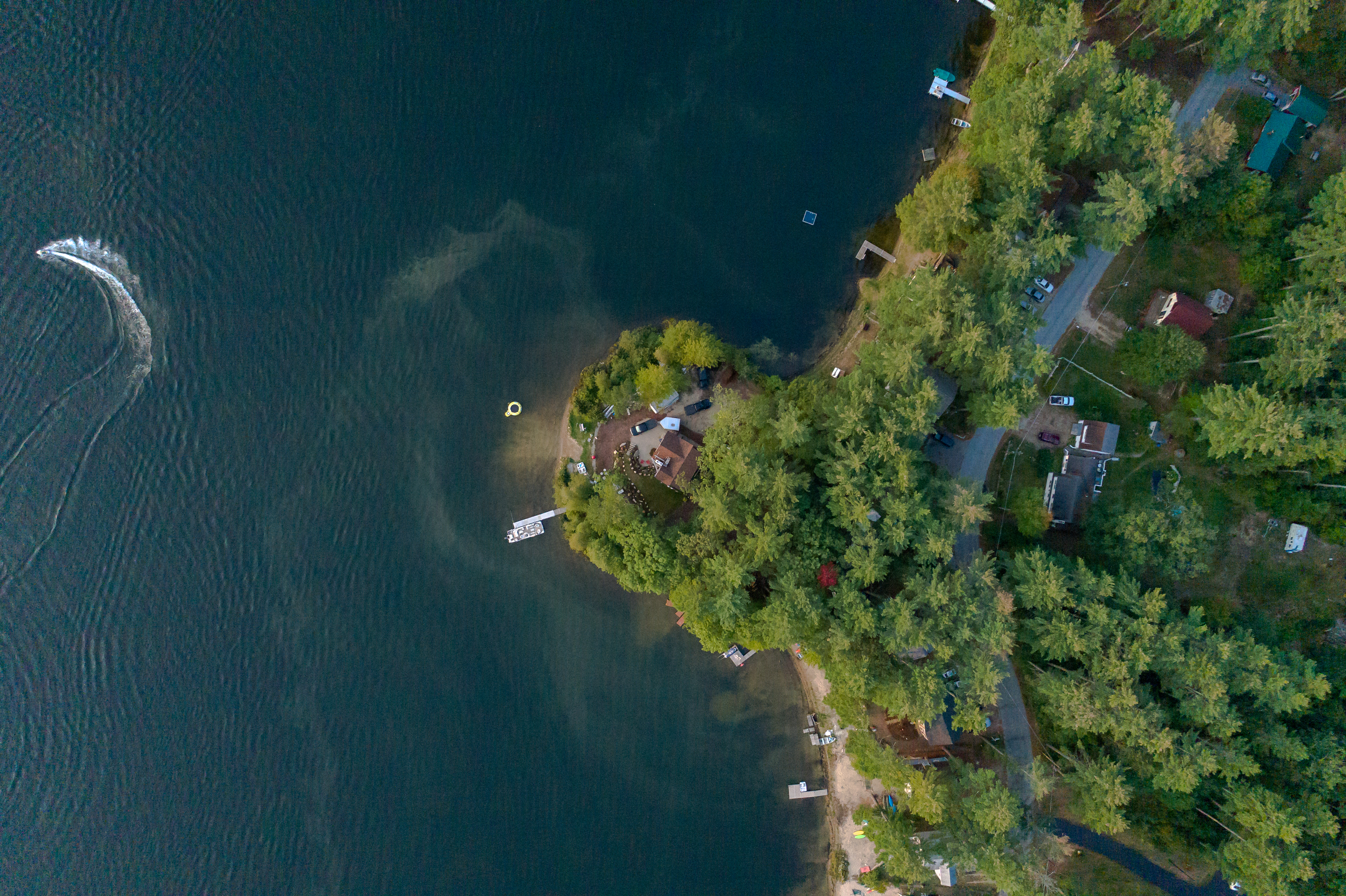
Peninsula and Jet Ski
Morning Light
Bunganut Lake - Alfred, ME

#photo #tagged to Team #airboataddicts by and go #follow #airboataddict @danrightt TB to #fathersday2016 his #babygirl and the #airboat #fanboat out in #lakekissimmee #kissimmeechainoflakes #squarepond #billygoatmound this #airboatlife #lakelife to #ride2
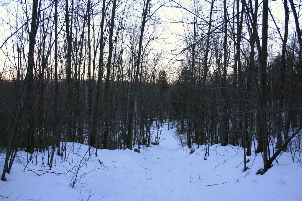
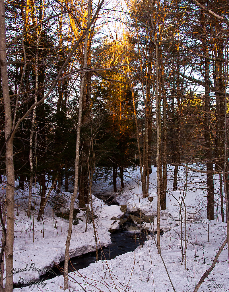
winter woods
Topographic Map of 60 Fort Ridge Rd, Alfred, ME, USA
Find elevation by address:

Places near 60 Fort Ridge Rd, Alfred, ME, USA:
54 Fort Ridge Rd
Gore Rd, Alfred, ME, USA
61 Pebble Brook Dr
1183 Gore Rd
328 Elm St
630 West Rd
630 West Rd
630 West Rd
630 West Rd
1084 Back Rd
6 Fairoaks Dr
104 Stanley Rd
Waterboro
157 Gulf Rd
62 Straw Mill Brooke Rd
62 Straw Mill Brooke Rd
62 Straw Mill Brooke Rd
Springvale
55 Straw Mill Brooke Rd
Shaws Ridge Road
Recent Searches:
- Elevation of Lampiasi St, Sarasota, FL, USA
- Elevation of Elwyn Dr, Roanoke Rapids, NC, USA
- Elevation of Congressional Dr, Stevensville, MD, USA
- Elevation of Bellview Rd, McLean, VA, USA
- Elevation of Stage Island Rd, Chatham, MA, USA
- Elevation of Shibuya Scramble Crossing, 21 Udagawacho, Shibuya City, Tokyo -, Japan
- Elevation of Jadagoniai, Kaunas District Municipality, Lithuania
- Elevation of Pagonija rock, Kranto 7-oji g. 8"N, Kaunas, Lithuania
- Elevation of Co Rd 87, Jamestown, CO, USA
- Elevation of Tenjo, Cundinamarca, Colombia