Elevation of Stanfield, NC, USA
Location: United States > North Carolina > Stanly County > Furr >
Longitude: -80.427009
Latitude: 35.2334772
Elevation: 185m / 607feet
Barometric Pressure: 99KPa
Elevation Map:
Satellite Map:
Related Photos:
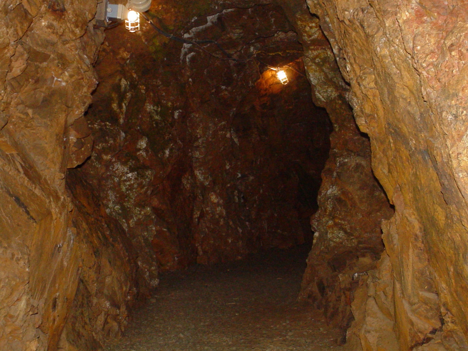
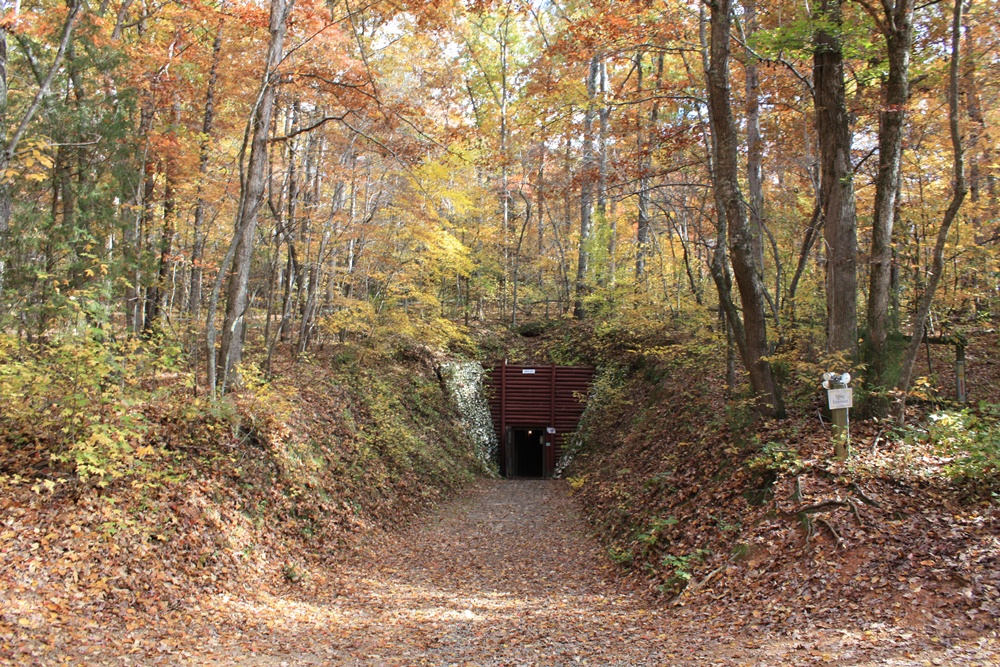
Linker Adit
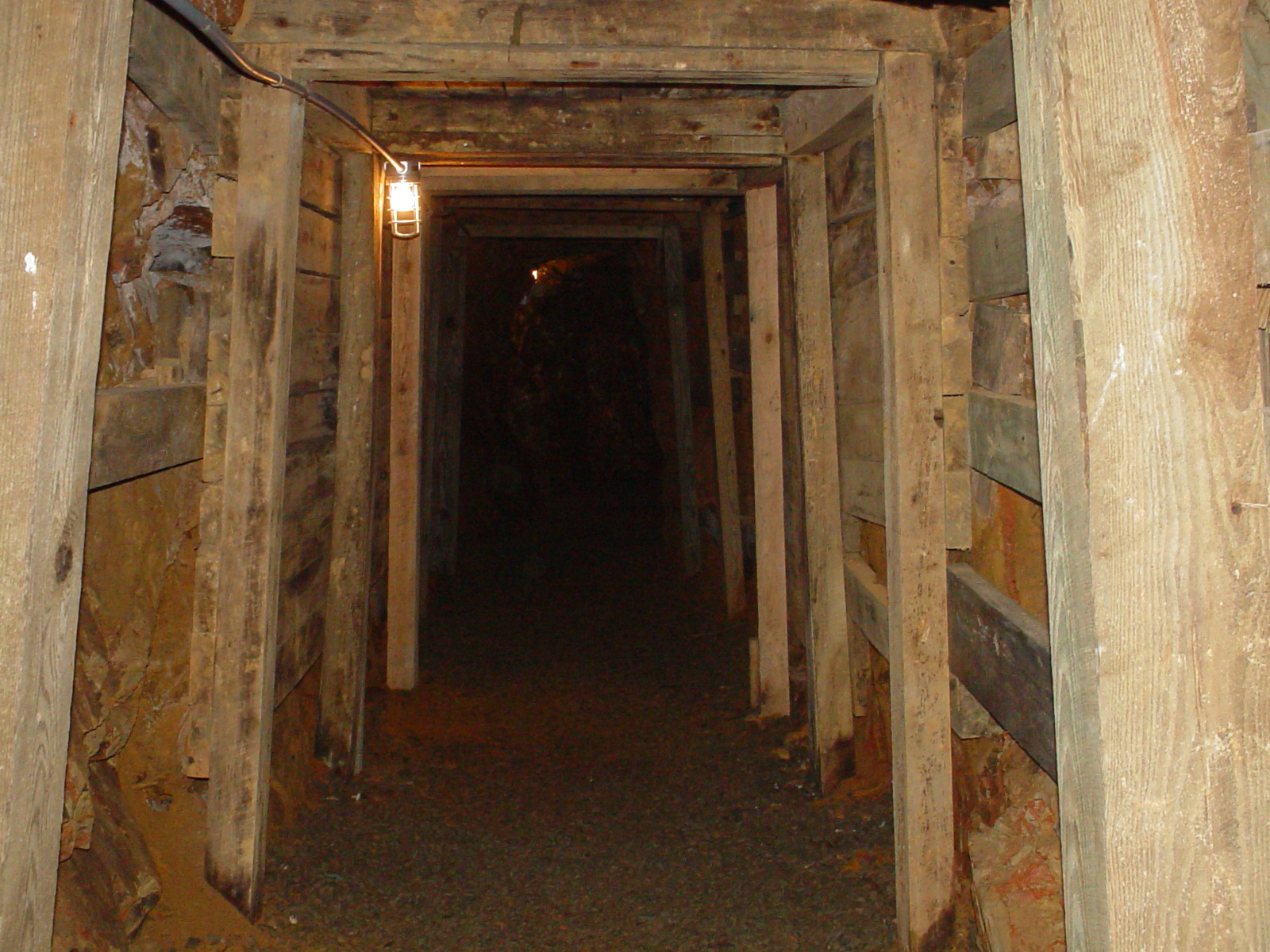
Entering the Mine
DSCN1917.JPG
DSCN1916.JPG
DSCN1915.JPG

The road...

OFF TO SEE THE WIZARD...
Reed Gold Mine - Fall 08
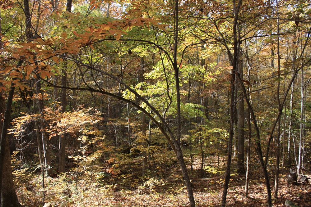
Reed Gold Mine - Fall 08
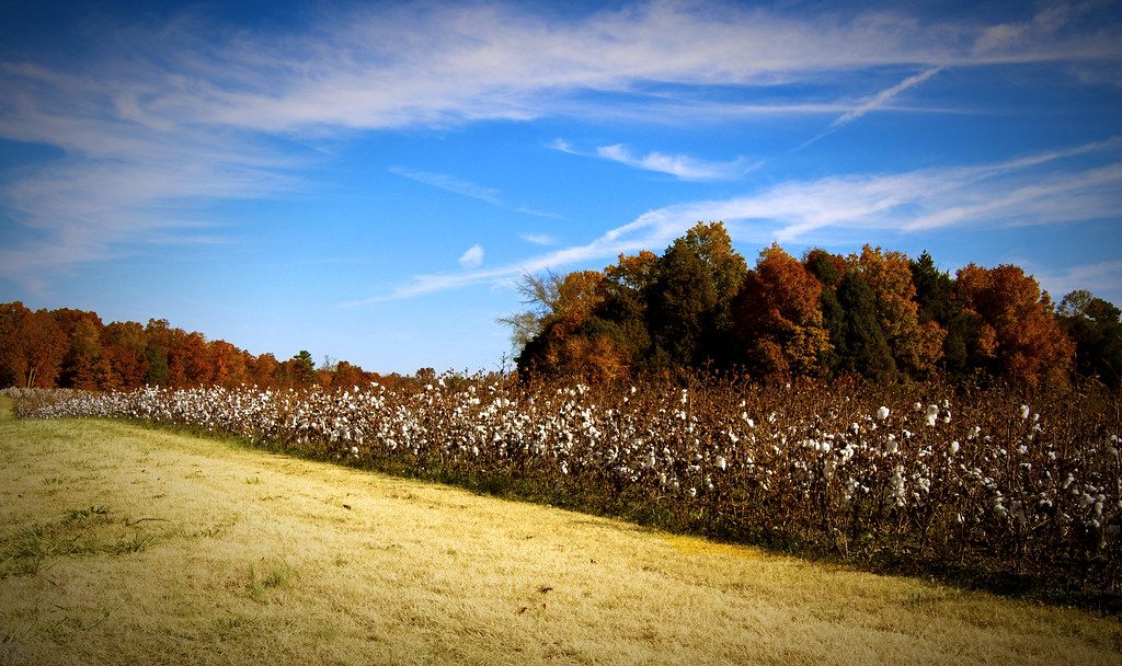
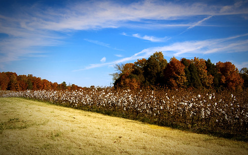
Mint Hill Cotton

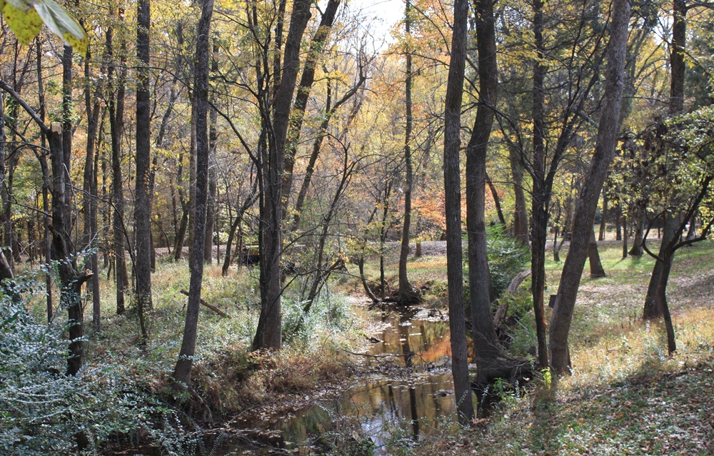
Reed Gold Mine - Fall 08
Reed Gold Mine - Fall 08

Reed Gold Mine - Fall 08
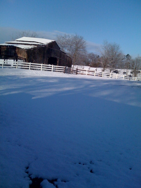
photo.jpg

Mint Hill Cotton 1920x1200
Mint Hill Cotton 1280x800

Mint Hill Cotton 1680x1050
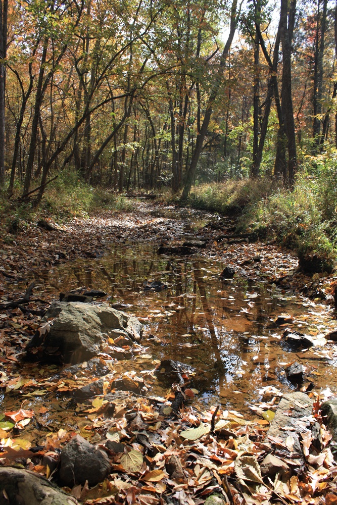
Reed Gold Mine - Fall 08
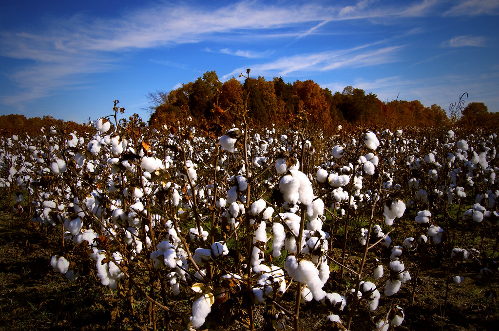
Mint Hill Cotton
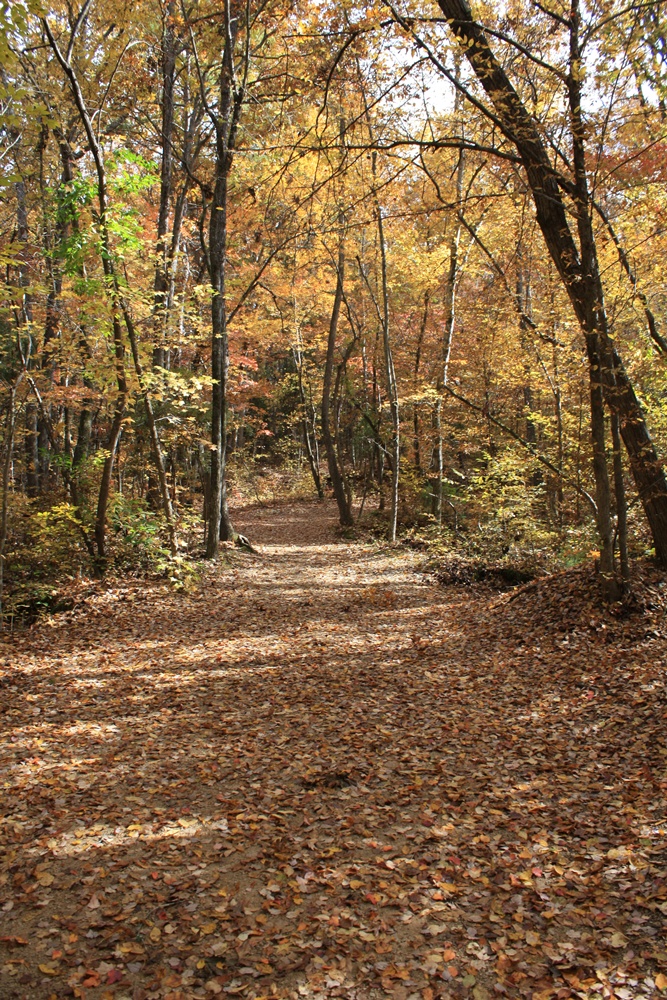
Reed Gold Mine - Fall 08
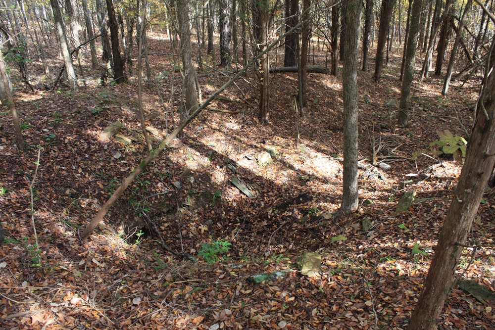
Reed Gold Mine - Fall 08
Topographic Map of Stanfield, NC, USA
Find elevation by address:

Places near Stanfield, NC, USA:
102 Mockingbird Ln
Furr
Locust
Providence Street
Providence Street
4269 Yow Rd
10850 Hartsell Rd
16203 Big Lick Rd
12701 Loving Rd
696b Smith Grove Rd
Midland
Smith Grove Road
2106 Quiet Cove Ln
1318 Polk Ford Rd
N Main St, Oakboro, NC, USA
Trailblazers Road
Lakewood Road
Big Lick
Oakboro
12611 St Martin Rd
Recent Searches:
- Elevation of Groblershoop, South Africa
- Elevation of Power Generation Enterprises | Industrial Diesel Generators, Oak Ave, Canyon Country, CA, USA
- Elevation of Chesaw Rd, Oroville, WA, USA
- Elevation of N, Mt Pleasant, UT, USA
- Elevation of 6 Rue Jules Ferry, Beausoleil, France
- Elevation of Sattva Horizon, 4JC6+G9P, Vinayak Nagar, Kattigenahalli, Bengaluru, Karnataka, India
- Elevation of Great Brook Sports, Gold Star Hwy, Groton, CT, USA
- Elevation of 10 Mountain Laurels Dr, Nashua, NH, USA
- Elevation of 16 Gilboa Ln, Nashua, NH, USA
- Elevation of Laurel Rd, Townsend, TN, USA