Elevation of Oakboro, NC, USA
Location: United States > North Carolina > Stanly County > Big Lick >
Longitude: -80.328952
Latitude: 35.2257007
Elevation: 158m / 518feet
Barometric Pressure: 99KPa
Elevation Map:
Satellite Map:
Related Photos:

Approaching Winds
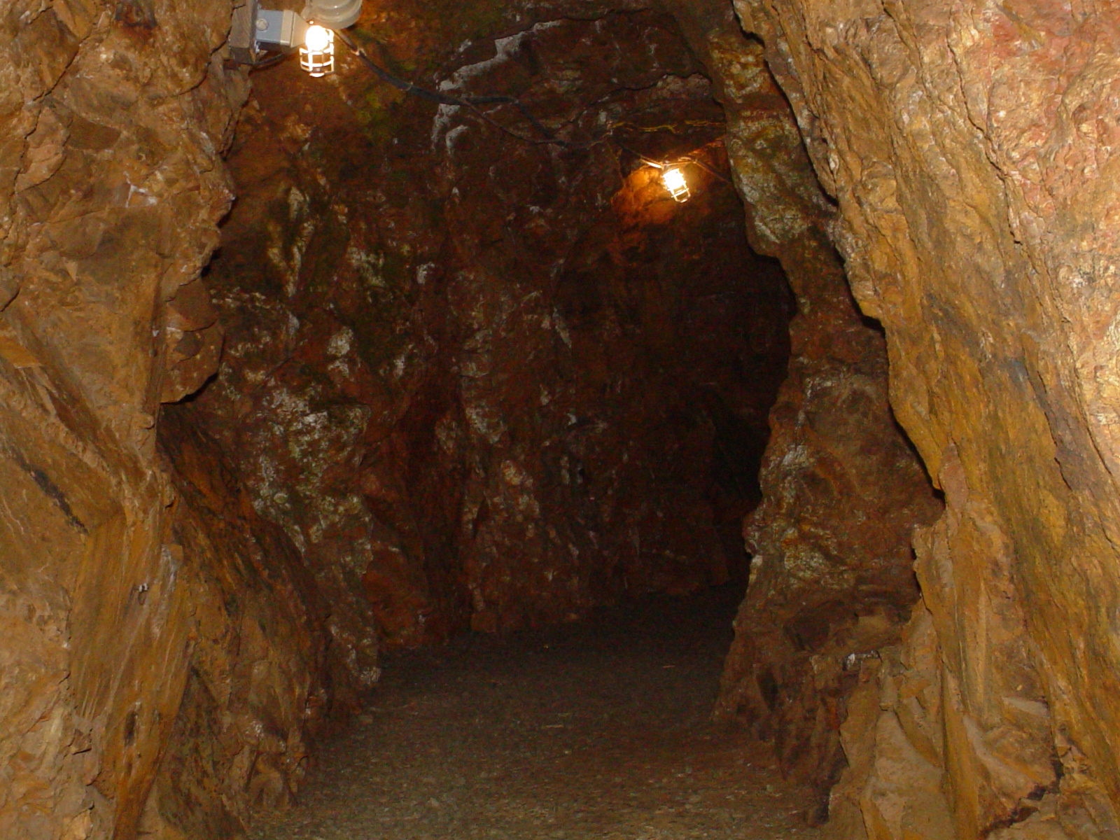
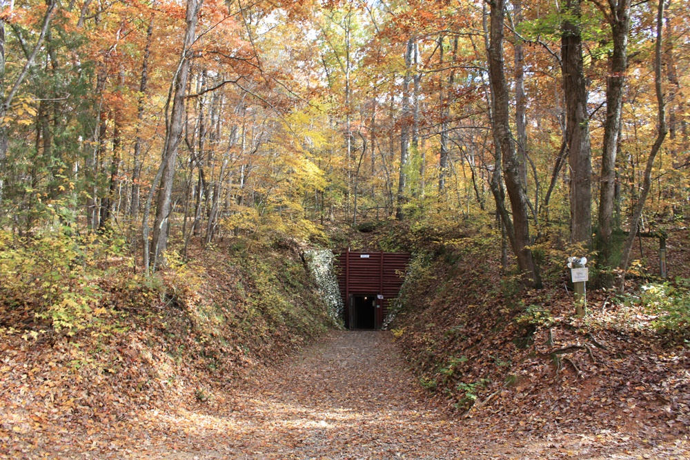
Linker Adit
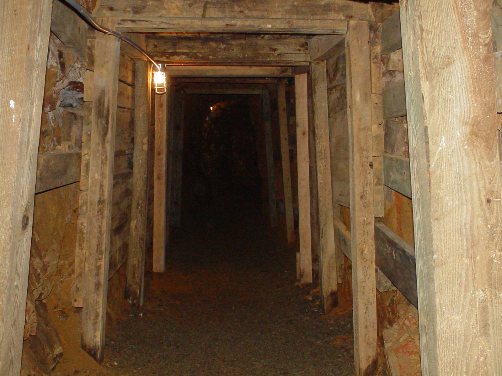
Entering the Mine

Market St & Ray Kennedy Dr, Locust, NC , United States

Double Rainbow

NC Sunrise

OFF TO SEE THE WIZARD...
I'm not sad anymore.
July 21 // morning fog

#sunset #nofilter

I think I love you.
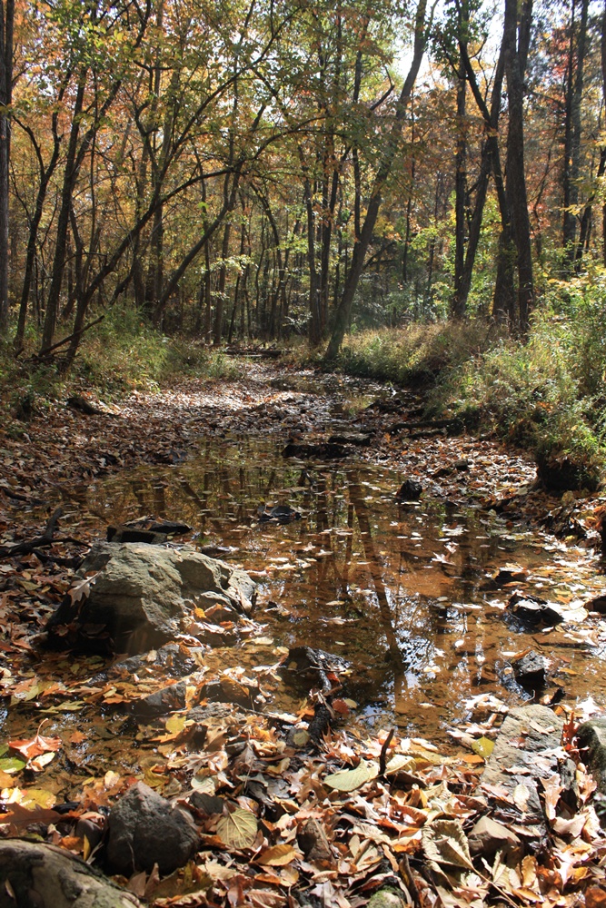
Reed Gold Mine - Fall 08
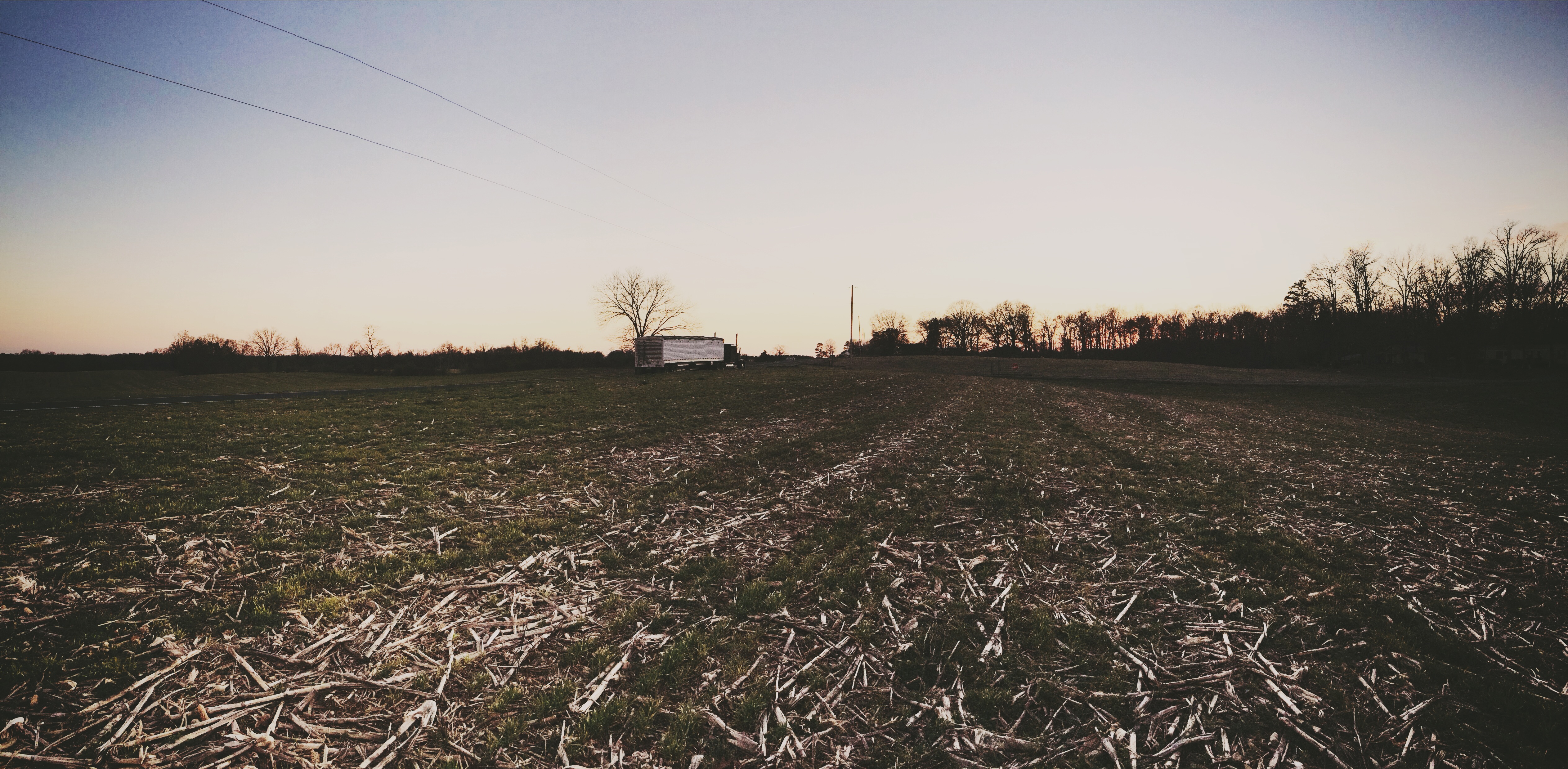
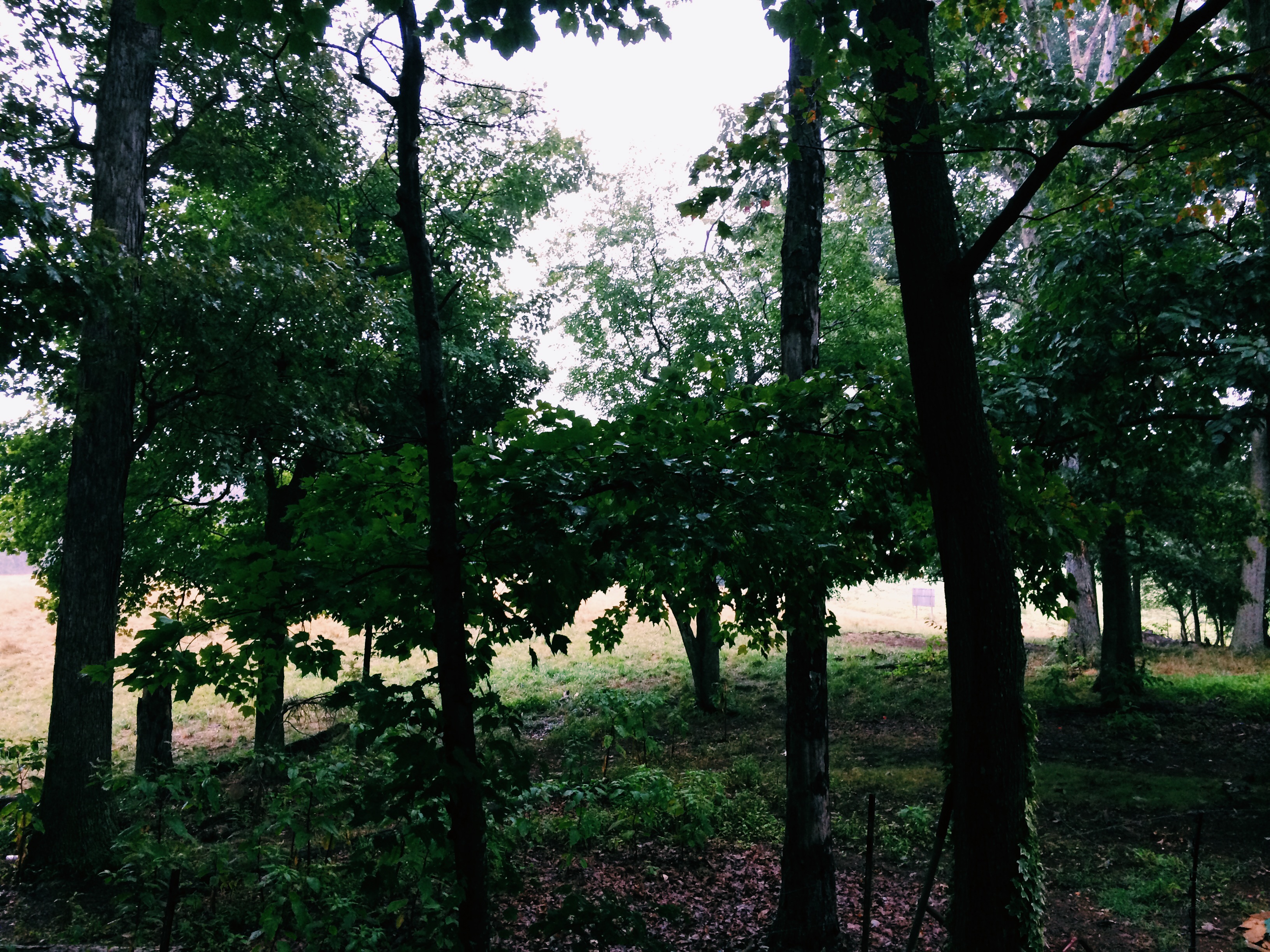
NC countryside
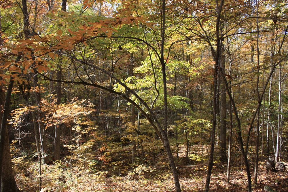
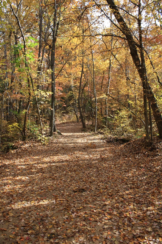
Reed Gold Mine - Fall 08
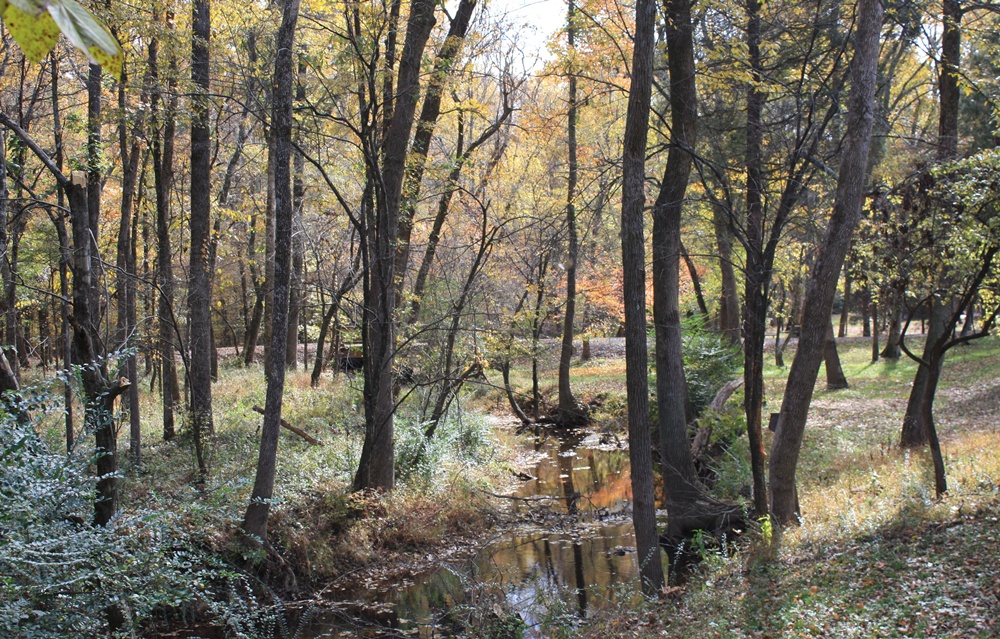
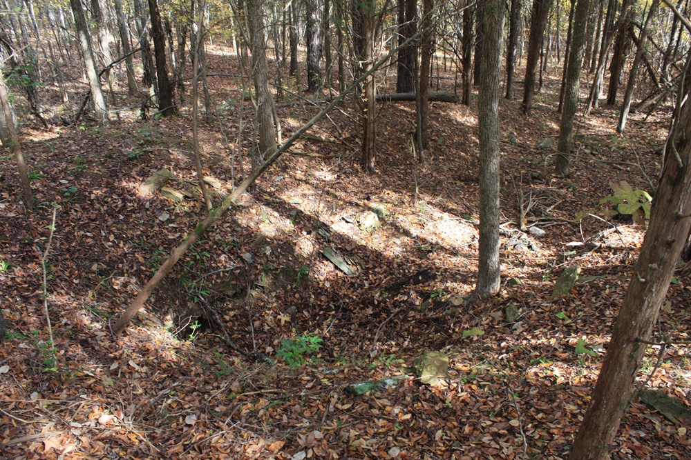
Reed Gold Mine - Fall 08

Reed Gold Mine - Fall 08

Reed Gold Mine - Fall 08
Reed Gold Mine - Fall 08
July 21 // morning fog
Reed Gold Mine - Fall 08

Reed Gold Mine - Fall 08
Reed Gold Mine - Fall 08

I'm ready for fall again.

img 03
Topographic Map of Oakboro, NC, USA
Find elevation by address:

Places in Oakboro, NC, USA:
Places near Oakboro, NC, USA:
Big Lick
N Main St, Oakboro, NC, USA
12611 St Martin Rd
Trailblazers Road
16203 Big Lick Rd
Lakewood Road
9630 Nc-742
Smith Grove Road
696b Smith Grove Rd
Providence Street
Providence Street
Efird Road
Endy
102 Mockingbird Ln
Endy
Stanfield
Locust
33640 W Rd
Furr
33515 S Stanly School Rd
Recent Searches:
- Elevation of Unnamed Road, Respublika Severnaya Osetiya — Alaniya, Russia
- Elevation of Verkhny Fiagdon, North Ossetia–Alania Republic, Russia
- Elevation of F. Viola Hiway, San Rafael, Bulacan, Philippines
- Elevation of Herbage Dr, Gulfport, MS, USA
- Elevation of Lilac Cir, Haldimand, ON N3W 2G9, Canada
- Elevation of Harrod Branch Road, Harrod Branch Rd, Kentucky, USA
- Elevation of Wyndham Grand Barbados Sam Lords Castle All Inclusive Resort, End of Belair Road, Long Bay, Bridgetown Barbados
- Elevation of Iga Trl, Maggie Valley, NC, USA
- Elevation of N Co Rd 31D, Loveland, CO, USA
- Elevation of Lindever Ln, Palmetto, FL, USA