Elevation of N Main St, Oakboro, NC, USA
Location: United States > North Carolina > Stanly County > Big Lick > Oakboro >
Longitude: -80.343711
Latitude: 35.241031
Elevation: 170m / 558feet
Barometric Pressure: 99KPa
Elevation Map:
Satellite Map:
Related Photos:

Approaching Winds
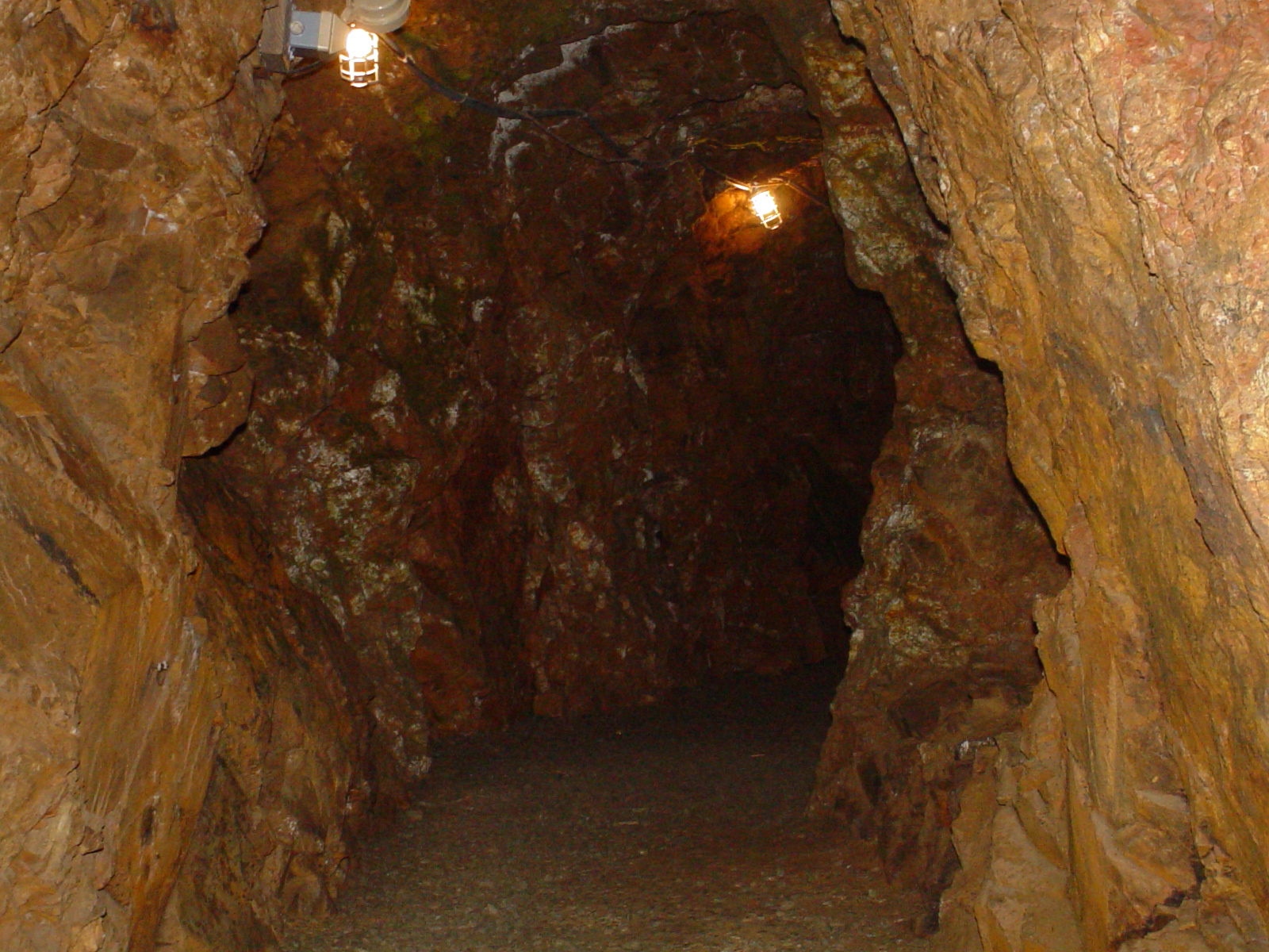
Linker Adit
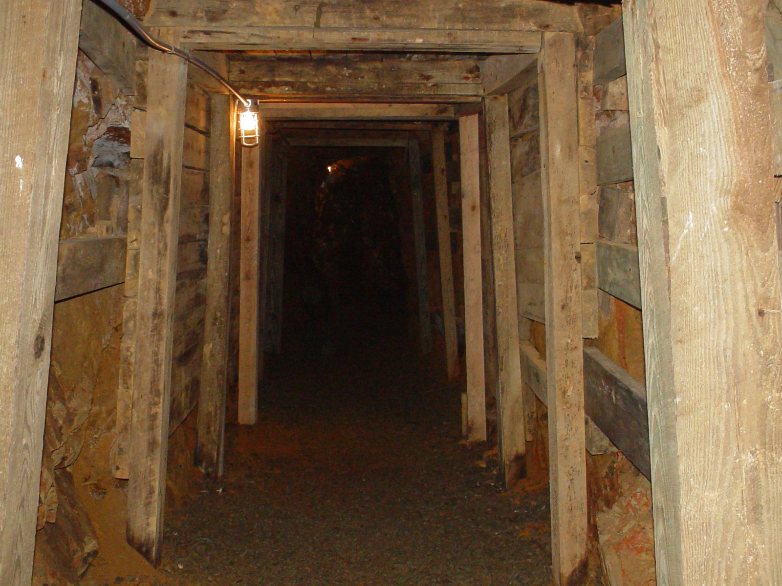
Entering the Mine

Market St & Ray Kennedy Dr, Locust, NC , United States
IMG_4443-Edit-Edit

NC Sunrise

OFF TO SEE THE WIZARD...

I'm not sad anymore.

July 21 // morning fog

#sunset #nofilter

I think I love you.
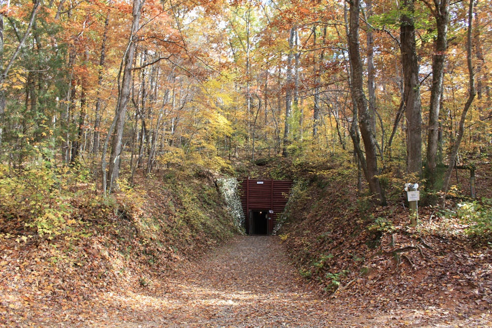
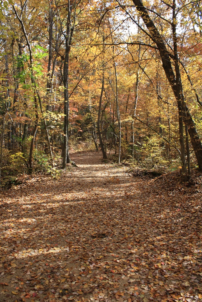
Reed Gold Mine - Fall 08
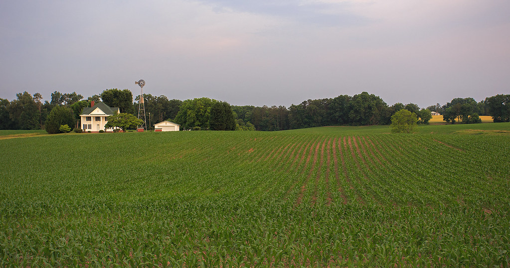
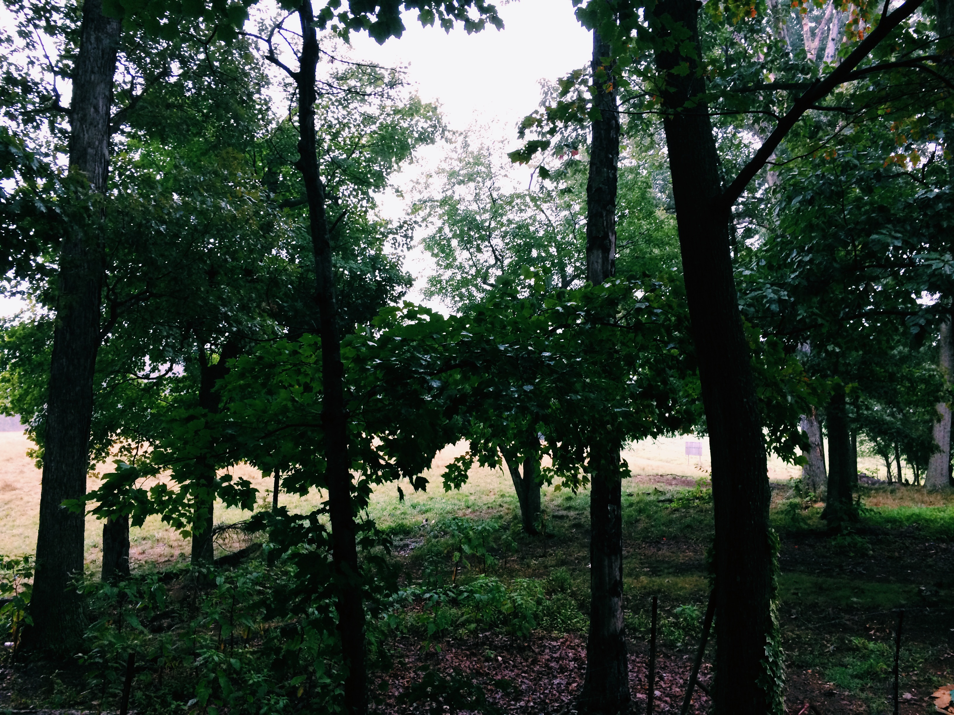
NC countryside
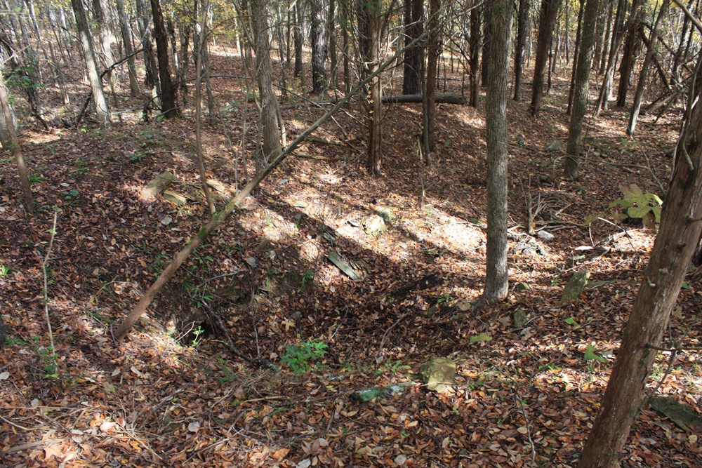
Reed Gold Mine - Fall 08
Reed Gold Mine - Fall 08

Reed Gold Mine - Fall 08

Reed Gold Mine - Fall 08
Reed Gold Mine - Fall 08
July 21 // morning fog
Reed Gold Mine - Fall 08

Reed Gold Mine - Fall 08
Reed Gold Mine - Fall 08

I'm ready for fall again.

July 21 // morning fog
Topographic Map of N Main St, Oakboro, NC, USA
Find elevation by address:

Places near N Main St, Oakboro, NC, USA:
Big Lick
Trailblazers Road
Lakewood Road
Oakboro
16203 Big Lick Rd
12611 St Martin Rd
Smith Grove Road
696b Smith Grove Rd
Providence Street
Providence Street
9630 Nc-742
102 Mockingbird Ln
Efird Road
Stanfield
Locust
Endy
Endy
Furr
4269 Yow Rd
33640 W Rd
Recent Searches:
- Elevation of Zimmer Trail, Pennsylvania, USA
- Elevation of 87 Kilmartin Ave, Bristol, CT, USA
- Elevation of Honghe National Nature Reserve, QP95+PJP, Tongjiang, Heilongjiang, Jiamusi, Heilongjiang, China
- Elevation of Hercules Dr, Colorado Springs, CO, USA
- Elevation of Szlak pieszy czarny, Poland
- Elevation of Griffing Blvd, Biscayne Park, FL, USA
- Elevation of Kreuzburger Weg 13, Düsseldorf, Germany
- Elevation of Gateway Blvd SE, Canton, OH, USA
- Elevation of East W.T. Harris Boulevard, E W.T. Harris Blvd, Charlotte, NC, USA
- Elevation of West Sugar Creek, Charlotte, NC, USA