Elevation of Sprucedale, ON P0A, Canada
Location: Canada > Ontario > Parry Sound District > Mcmurrich/monteith >
Longitude: -79.462266
Latitude: 45.490145
Elevation: 330m / 1083feet
Barometric Pressure: 97KPa
Elevation Map:
Satellite Map:
Related Photos:
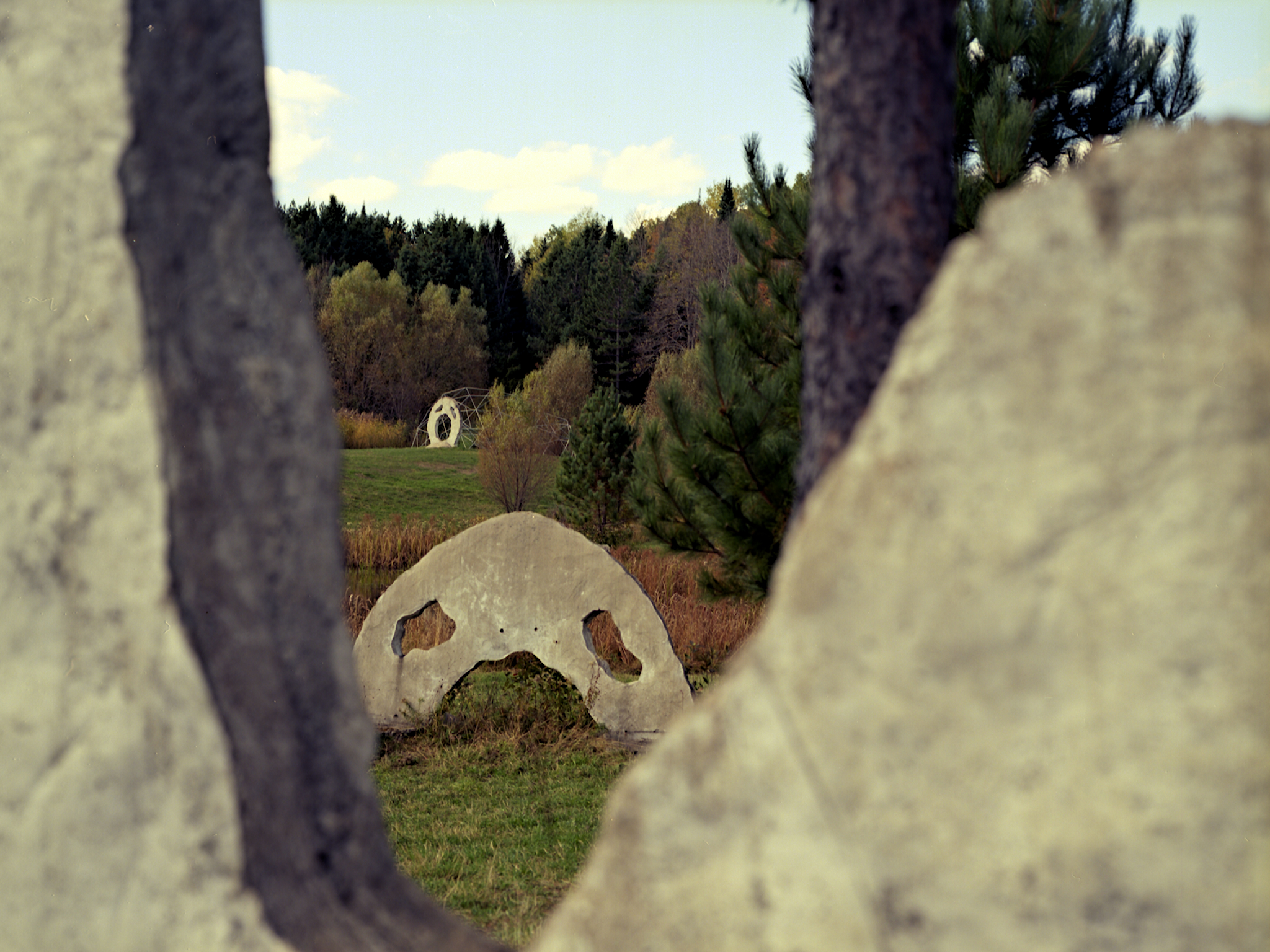
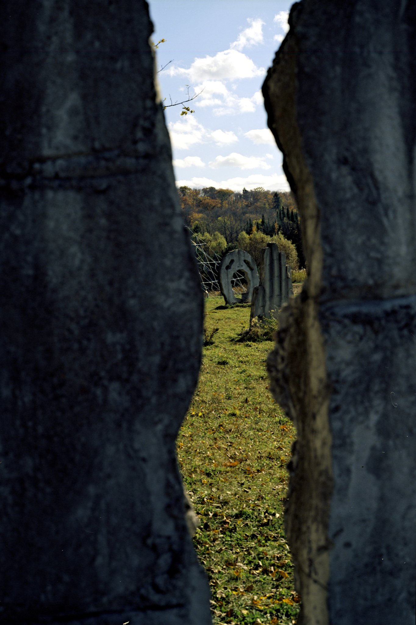
Through An Eye
Spooky House - Front Gate
Lot 658 view
West side of Hwy 11 viewed southerly from the Seguin Trail at their crossing south of Emsdale Rd
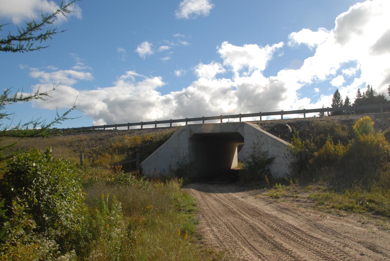
Seguin Trail at Hwy 11 crossing S. of Emsdale Rd
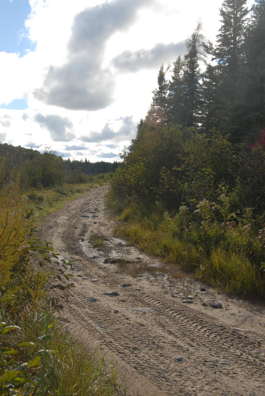
Seguin Trail viewed westerly on west side of Hwy 11 crossing south of Emsdale Rd
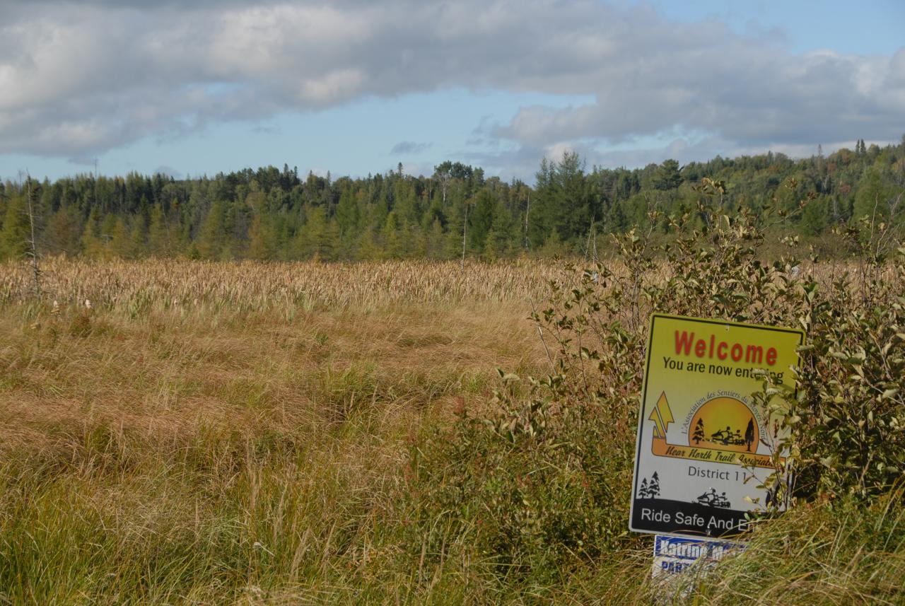
OFSC Route "D" at Hwy 11 crossing S. of Emsdale Rd
sun disk

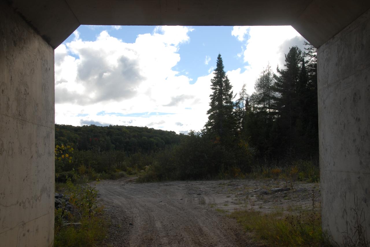
Seguin Trail?, OFSC Route "D", passing under Hwy 11 S. of Emsdale Rd. 2012-09-15
View N'ly from OFSC Route "D" just east of Hwy 11 crossing S. of Emsdale Rd
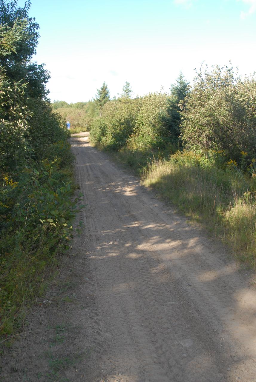
Seguin Trail at Hwy 11 crossing S. of Emsdale Rd
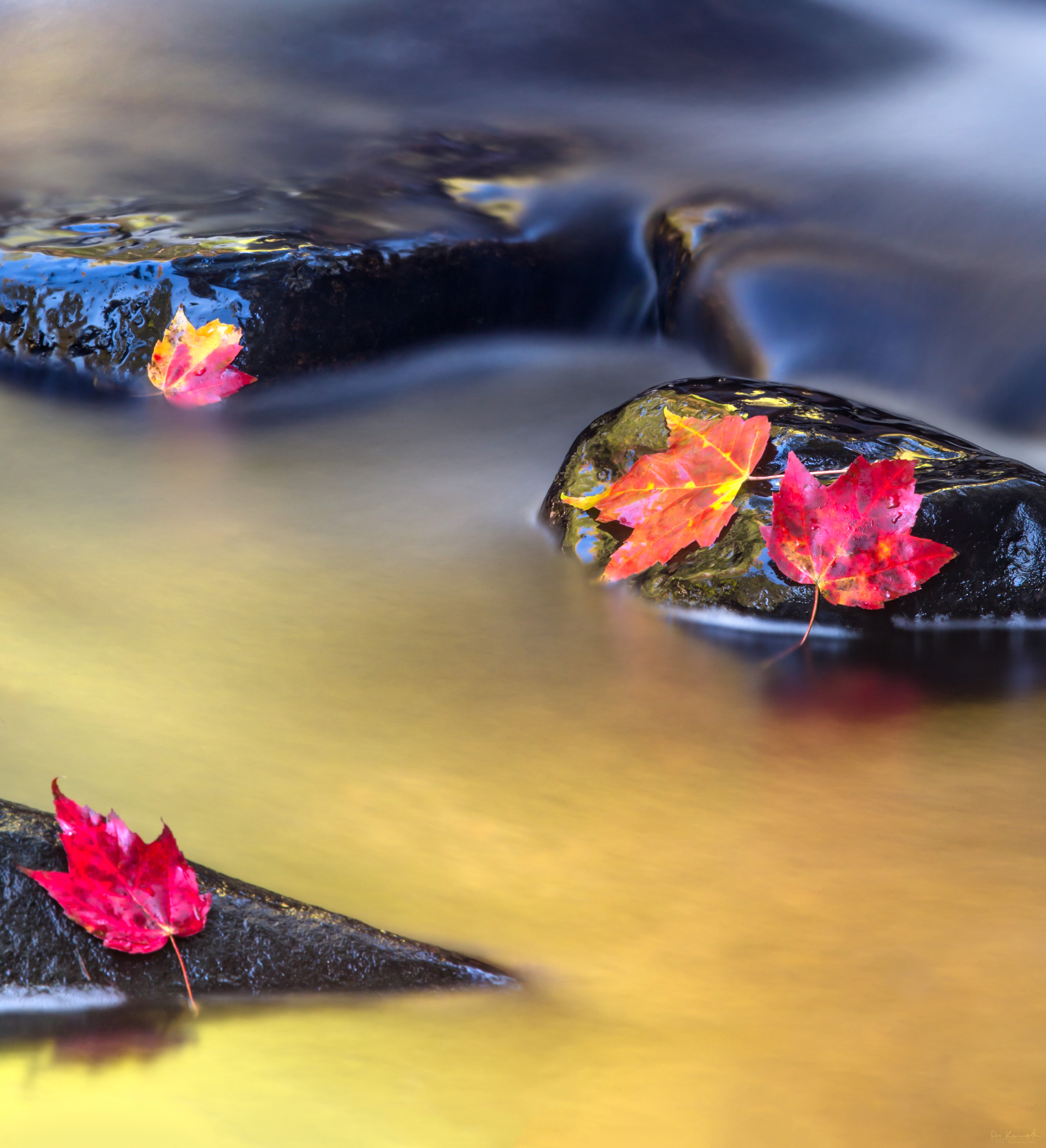
Vibrant Flow
1,142
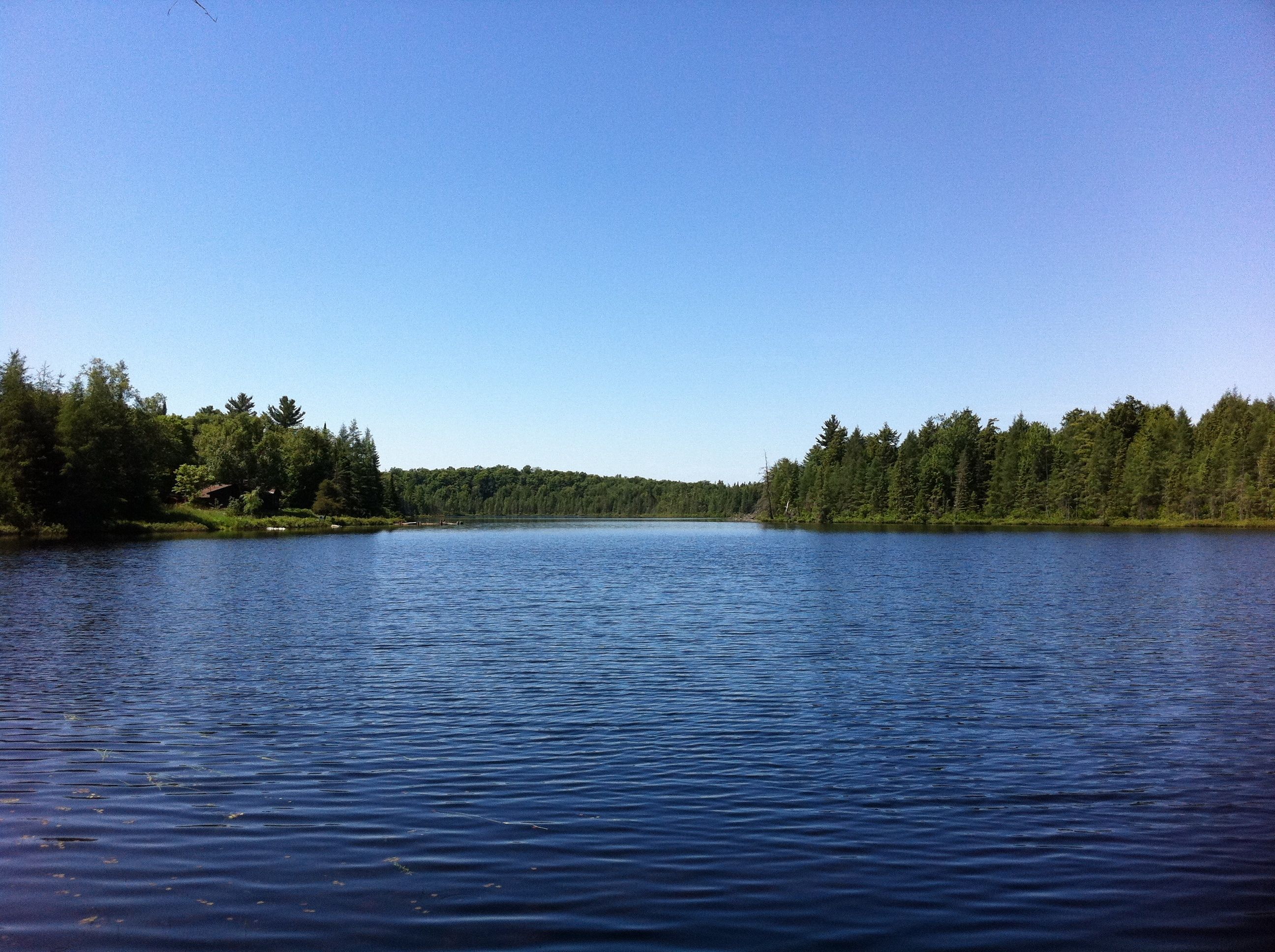
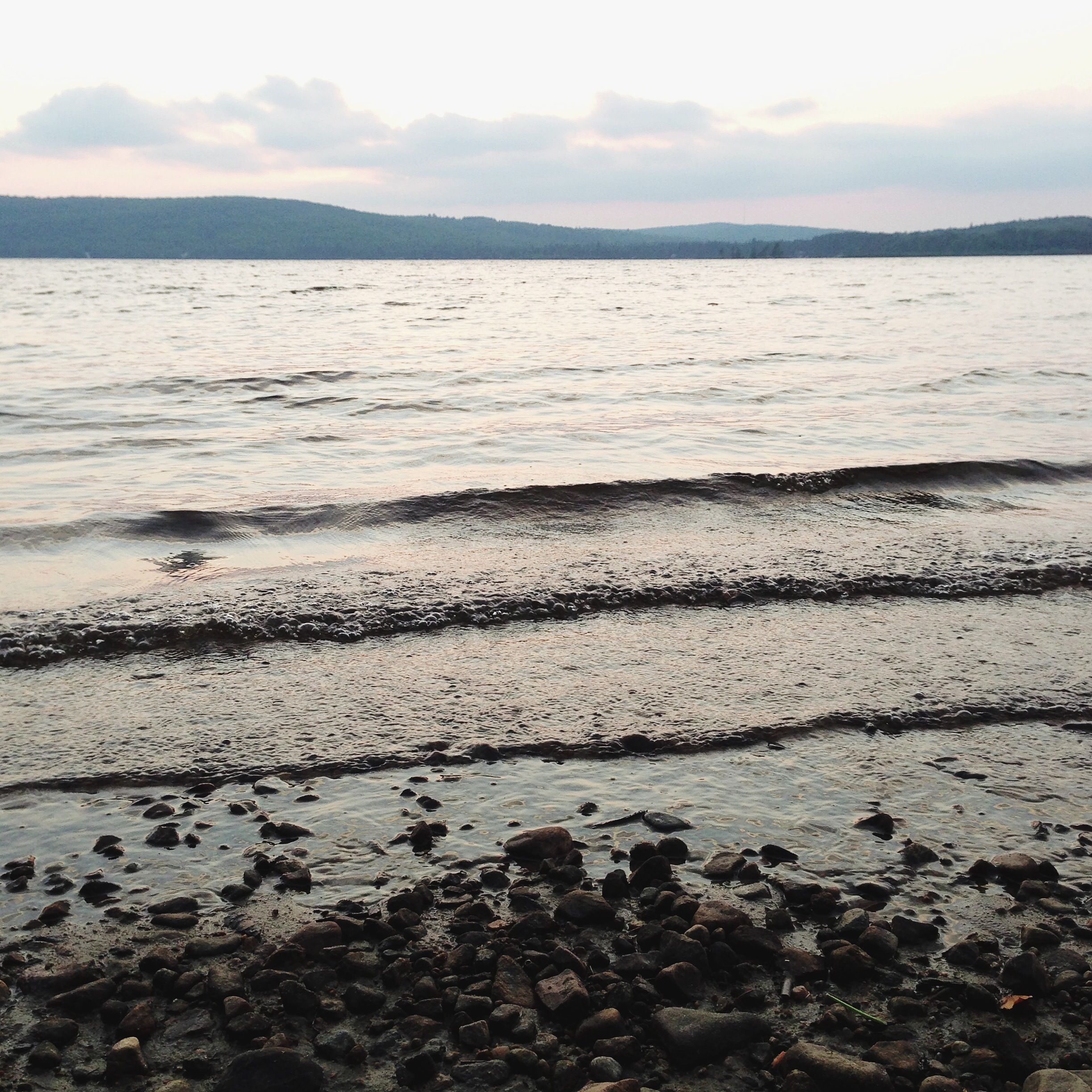
A Private Lake
Through A Hand
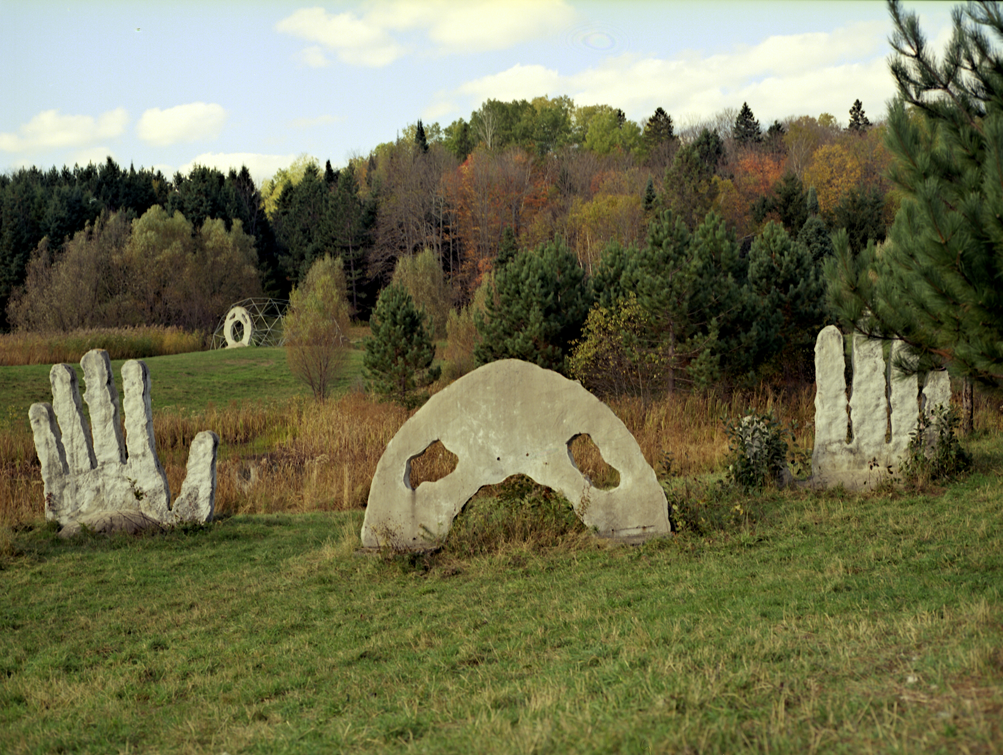
I Give Up
Another World
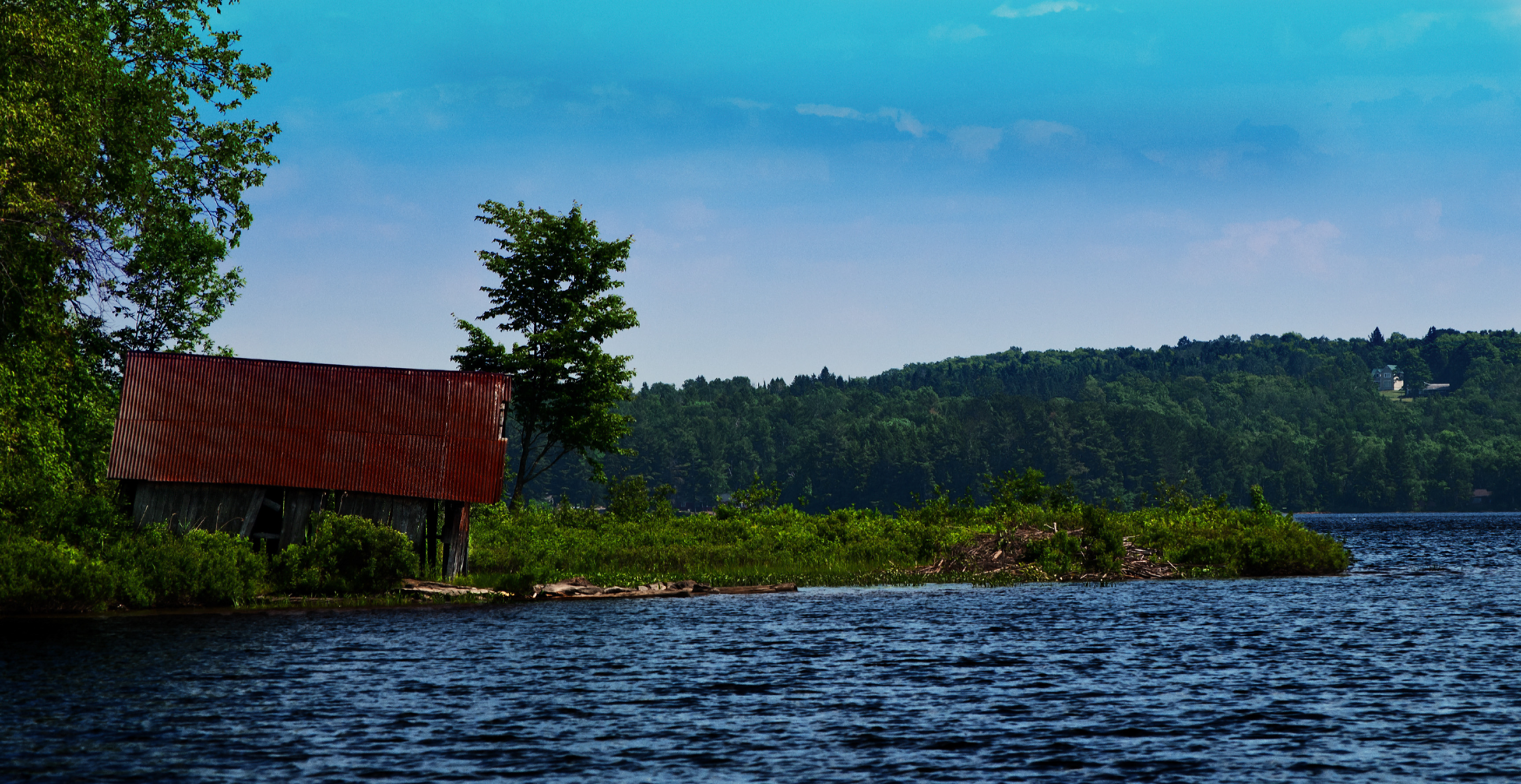
Buck Lake Boathouse
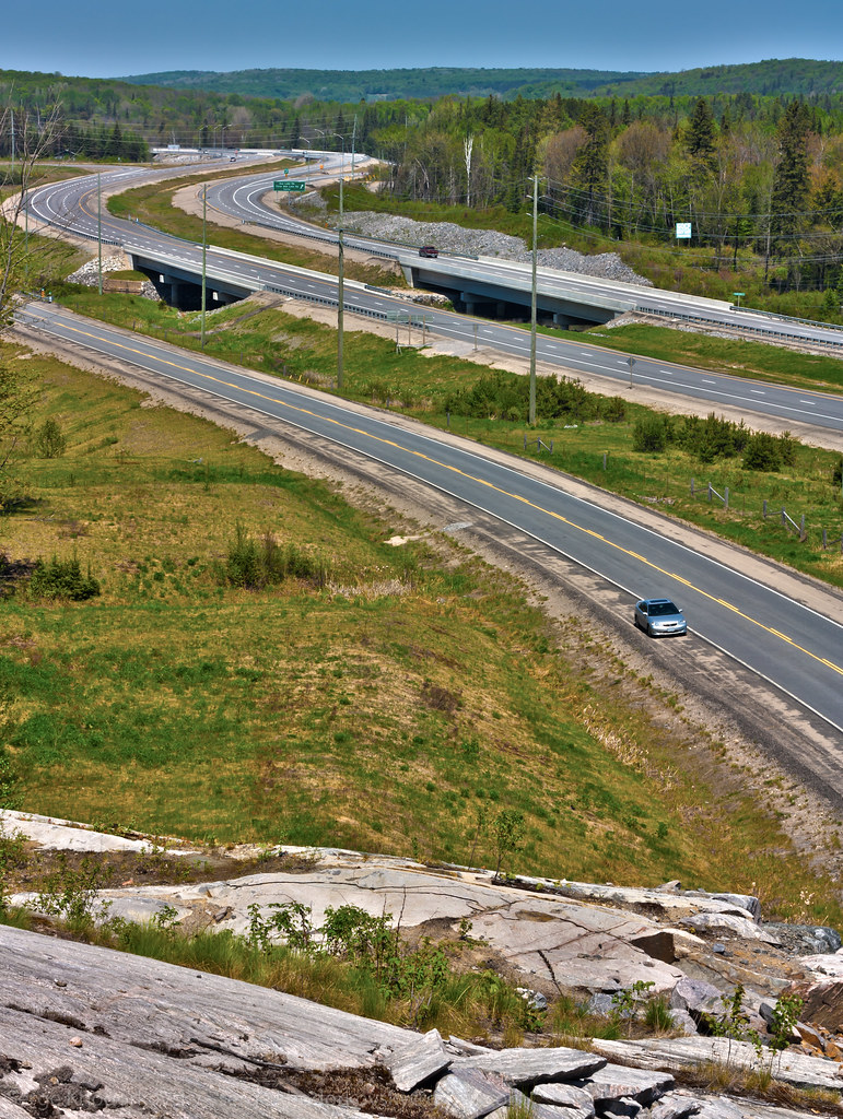
Highway 11
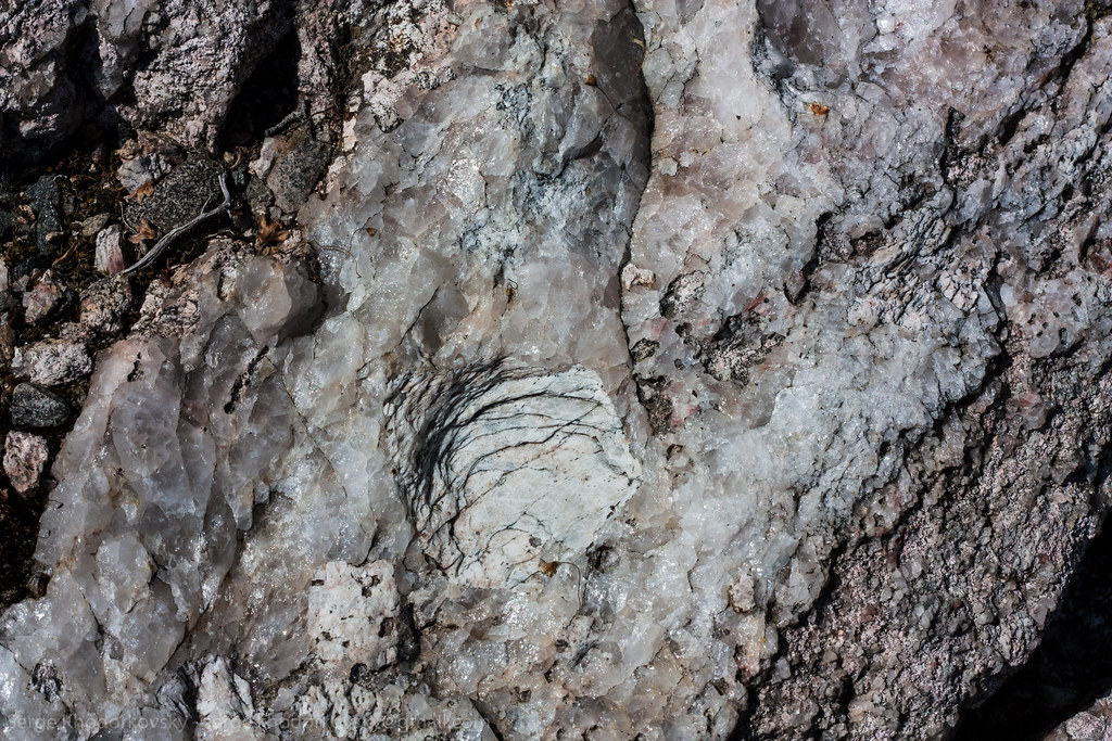
Textured Rock

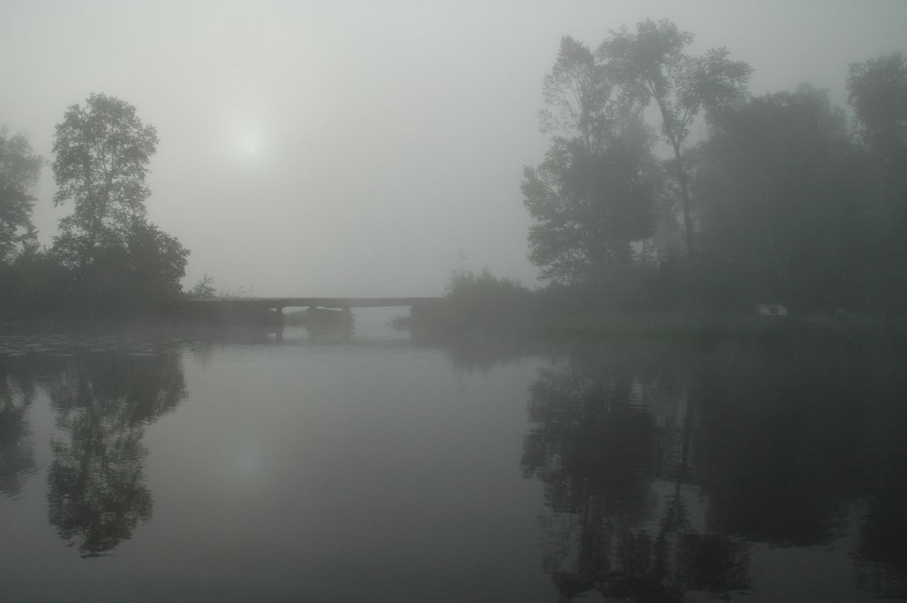
dark water

Wild Flowers

DGB Brooks Fall 2

Fall 2011

Brooks Falls
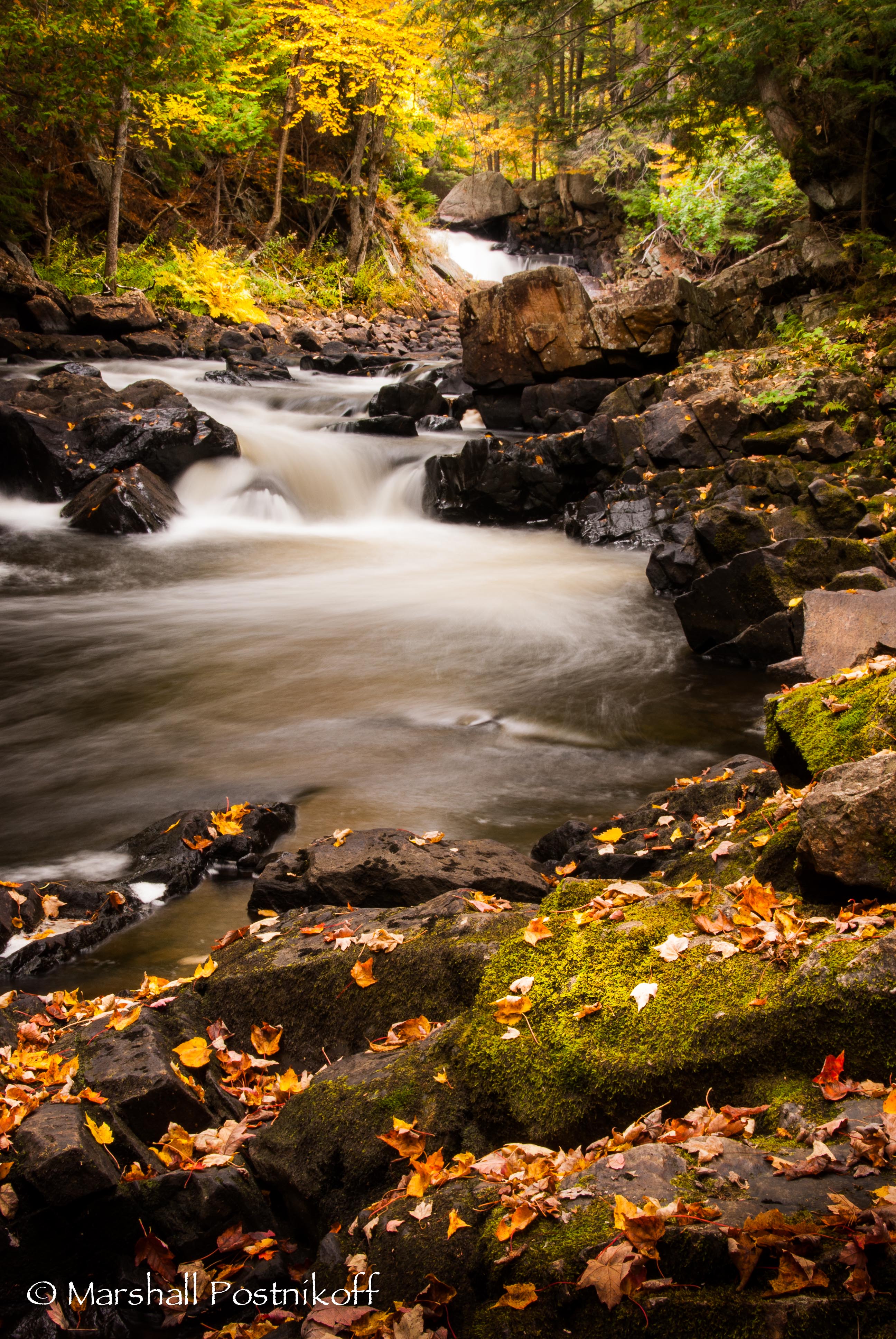
Brooks Falls

DGB Brooks Falls

Soft Water 2

Water 1

Brooks Falls, Emsdale, Ontario
Topographic Map of Sprucedale, ON P0A, Canada
Find elevation by address:

Places in Sprucedale, ON P0A, Canada:
Places near Sprucedale, ON P0A, Canada:
2651 Stisted Rd S
Mcmurrich/monteith
Stisted Rd S, Novar, ON P0A 1R0, Canada
Stisted Rd S, Sprucedale, ON P0A 1Y0, Canada
74 2 Ave
74 2 Ave
Yearley Rd, Novar, ON P0A 1R0, Canada
232 Doe Lake Rd
97 Old Track Rd
Axe Lake Rd, Sprucedale, ON P0A 1Y0, Canada
Bear Lake
29 Amylee Dr
Katrine
3 Three Mile Lake Rd, Katrine, ON P0A 1L0, Canada
Burk's Falls
Perry
Emsdale
545 Chetwynd Rd
104 Old Muskoka Rd
Armour
Recent Searches:
- Elevation of Corso Fratelli Cairoli, 35, Macerata MC, Italy
- Elevation of Tallevast Rd, Sarasota, FL, USA
- Elevation of 4th St E, Sonoma, CA, USA
- Elevation of Black Hollow Rd, Pennsdale, PA, USA
- Elevation of Oakland Ave, Williamsport, PA, USA
- Elevation of Pedrógão Grande, Portugal
- Elevation of Klee Dr, Martinsburg, WV, USA
- Elevation of Via Roma, Pieranica CR, Italy
- Elevation of Tavkvetili Mountain, Georgia
- Elevation of Hartfords Bluff Cir, Mt Pleasant, SC, USA