Elevation of Axe Lake Rd, Sprucedale, ON P0A 1Y0, Canada
Location: Canada > Ontario > Parry Sound District > Mcmurrich/monteith > Sprucedale >
Longitude: -79.544660
Latitude: 45.3930169
Elevation: 330m / 1083feet
Barometric Pressure: 97KPa
Elevation Map:
Satellite Map:
Related Photos:

Think Frog...
sun disk

Golden City Lake
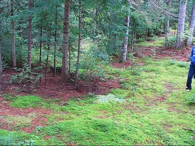
BEAR ATTACK!!!!

Autumn Reds and Falling Greens

Autumn Color
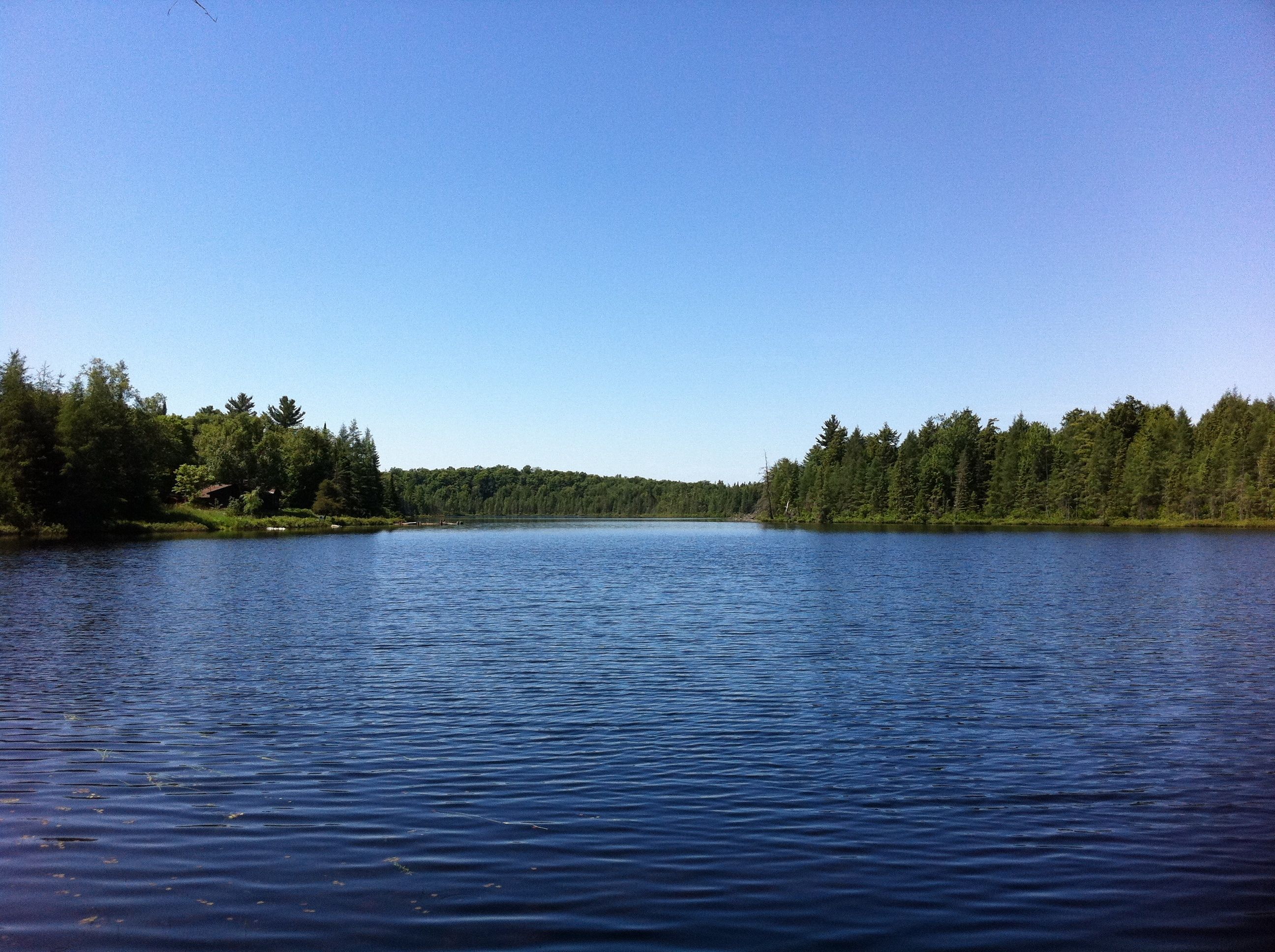
A Private Lake
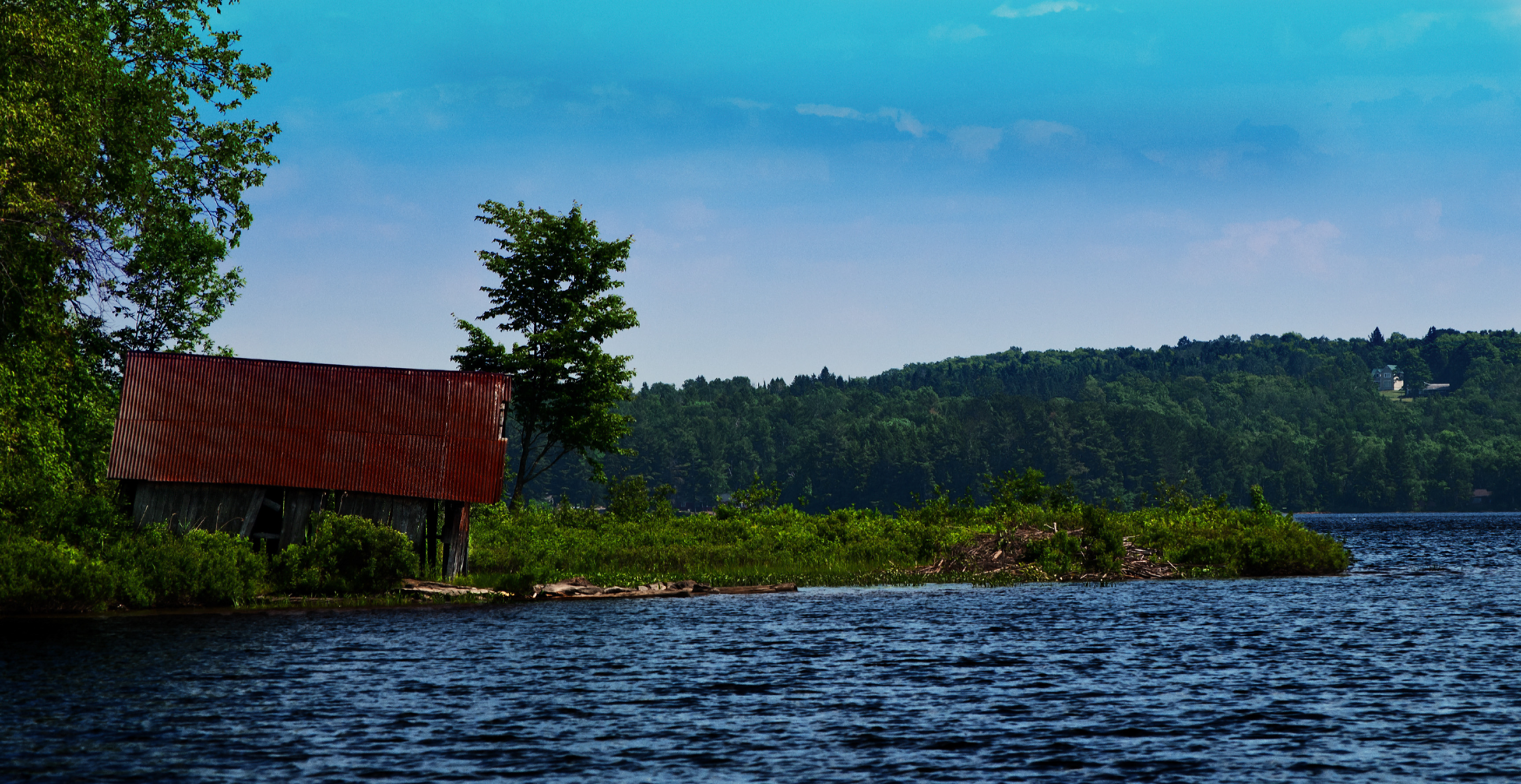
Buck Lake Boathouse

Incentivereise Toronto

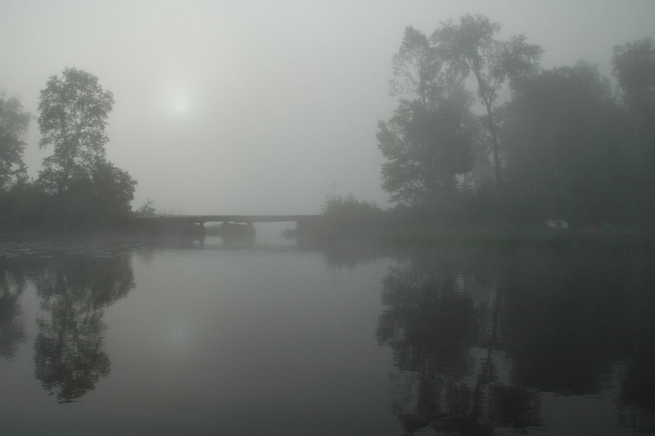
dark water

Hoodstown Rapids

Down the rapids

Stone cutting
Topographic Map of Axe Lake Rd, Sprucedale, ON P0A 1Y0, Canada
Find elevation by address:

Places near Axe Lake Rd, Sprucedale, ON P0A 1Y0, Canada:
Bear Lake
Yearley Rd, Novar, ON P0A 1R0, Canada
1571 Hekkla Rd
Mcmurrich/monteith
2651 Stisted Rd S
Stisted Rd S, Novar, ON P0A 1R0, Canada
Stisted Rd S, Sprucedale, ON P0A 1Y0, Canada
Sprucedale
Butler Mill Road
40 Lower Frys Rd
74 2 Ave
74 2 Ave
4308 Aspdin Rd
Rosseau
1972 Etwell Rd
ON-, Port Carling, ON P0B 1J0, Canada
Rosseau Lake Rd 3, Port Carling, ON P0B 1J0, Canada
306 Burgess Rd
P1h 2j2
Orange Valley Rd, Magnetawan, ON P0A 1P0, Canada
Recent Searches:
- Elevation of Village Point Dr, Daphne, AL, USA
- Elevation map of Kabardino-Balkarian Republic, Russia
- Elevation of Tyrnyauz, Kabardino-Balkarian Republic, Russia
- Elevation of Sunset Dr, Hernando, MS, USA
- Elevation of Lake Rotoroa, Tasman, New Zealand
- Elevation of George St, New Bern, NC, USA
- Elevation of Cove Rd, Jasper, GA, USA
- Elevation of Cove Rd, Jasper, GA, USA
- Elevation of South Yankee Meadow Road, Forest Road, Paragonah, UT, USA
- Elevation of SW Elderview Dr, Sherwood, OR, USA