Elevation of 3 Three Mile Lake Rd, Katrine, ON P0A 1L0, Canada
Location: Canada > Ontario > Parry Sound District > Armour > Katrine >
Longitude: -79.351943
Latitude: 45.5744937
Elevation: 297m / 974feet
Barometric Pressure: 98KPa
Elevation Map:
Satellite Map:
Related Photos:
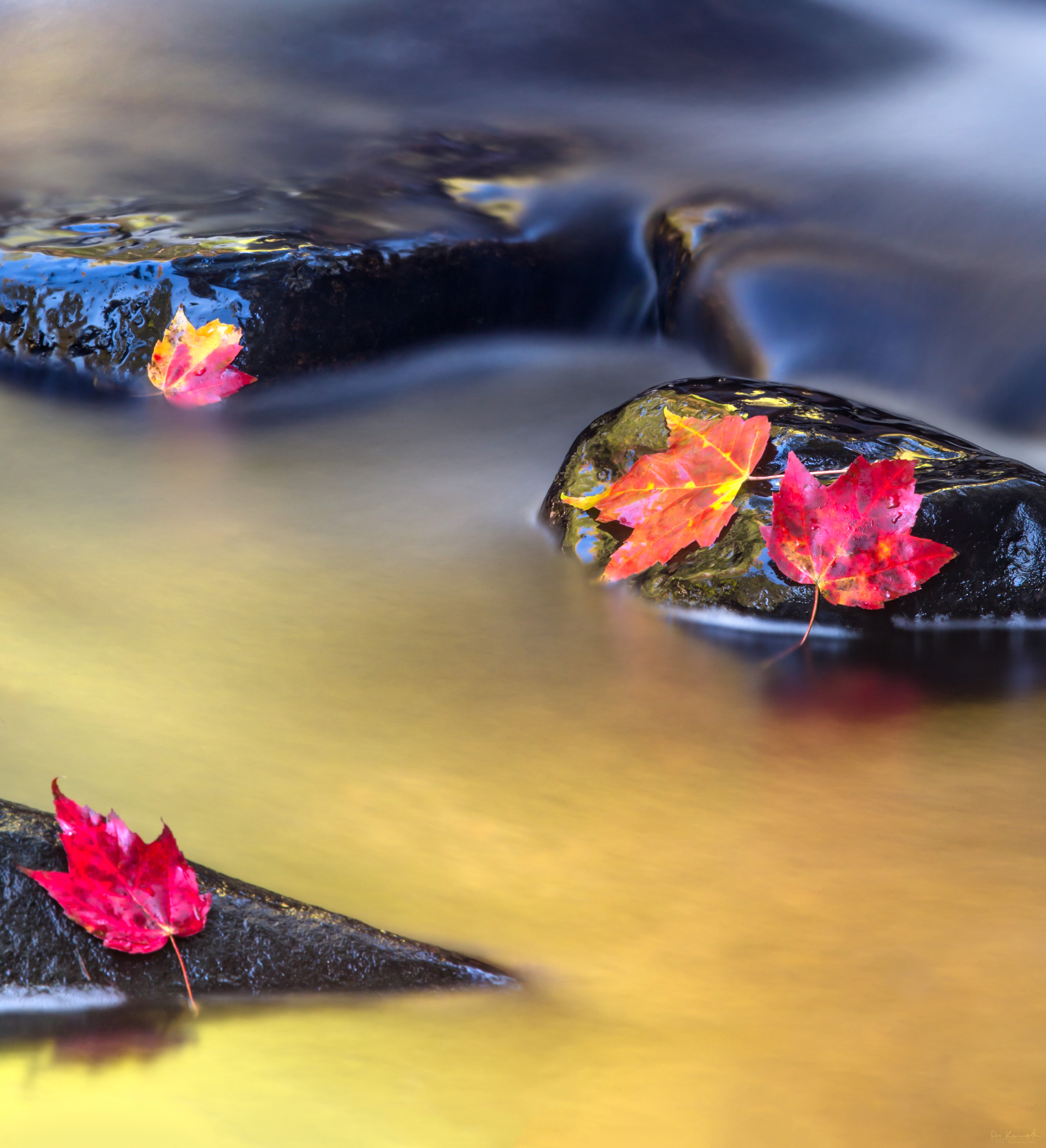
Vibrant Flow

Kearney, Ontario (Canada)
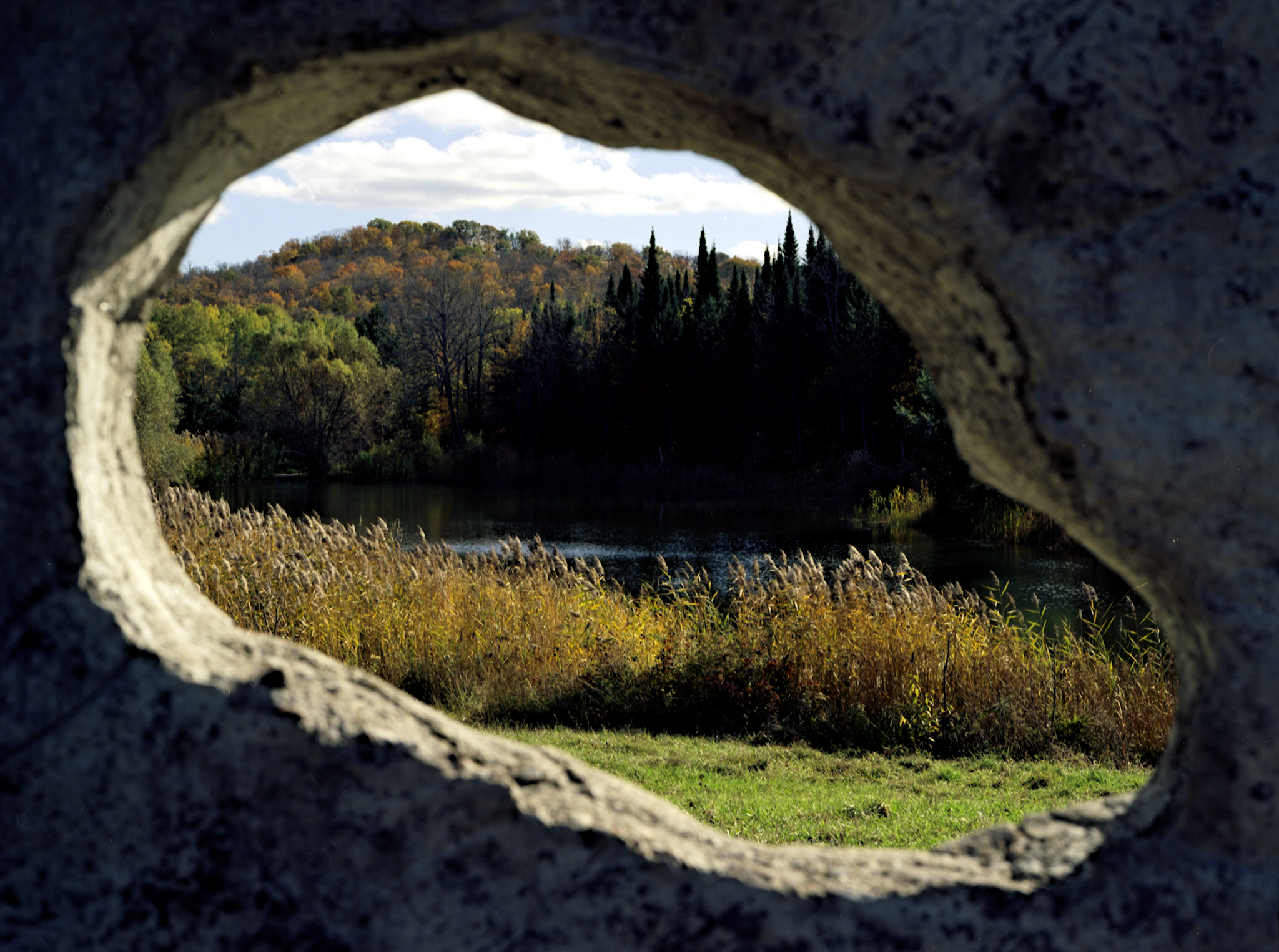
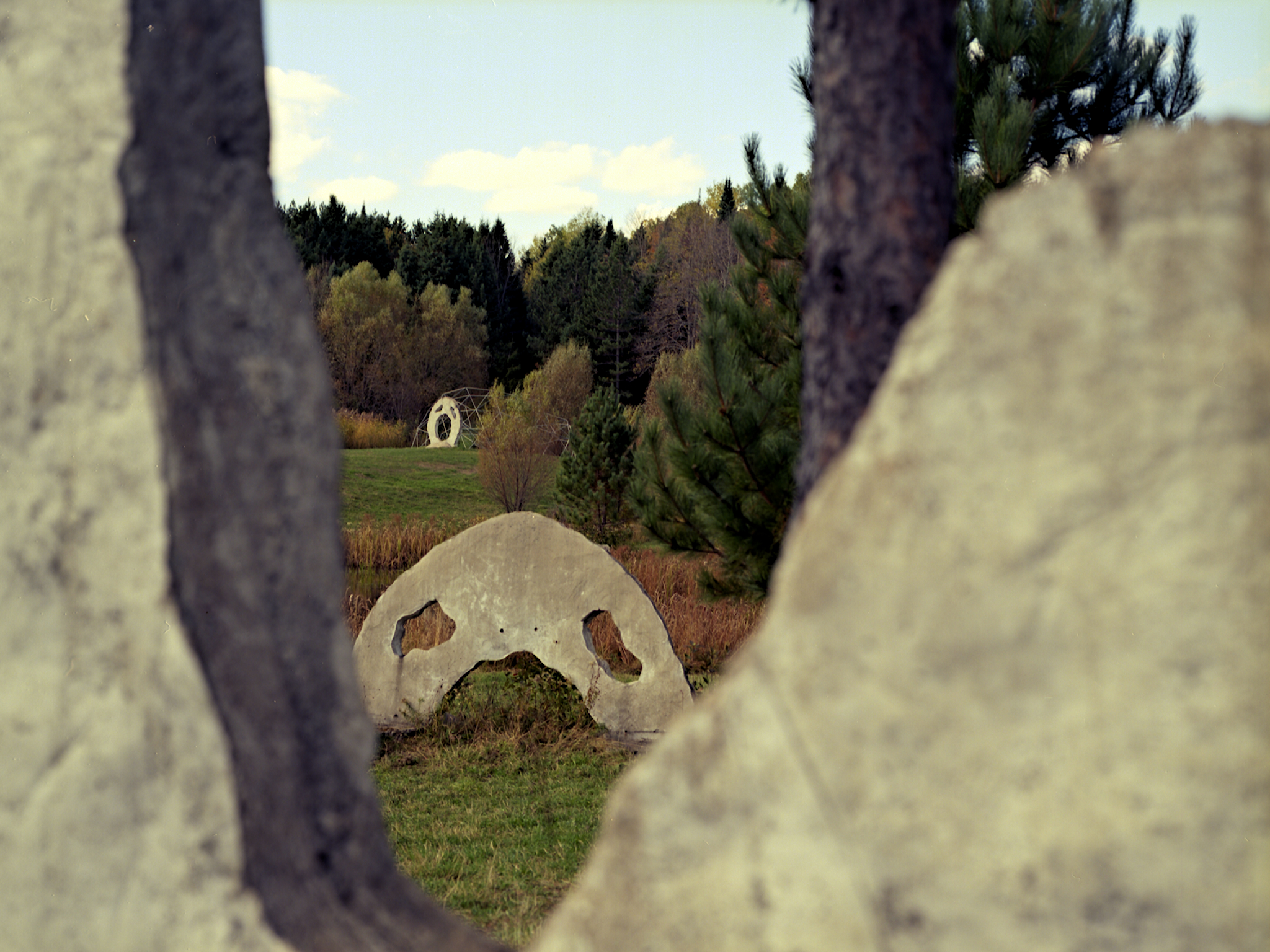
Through An Eye
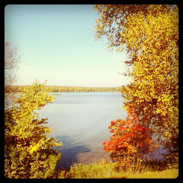
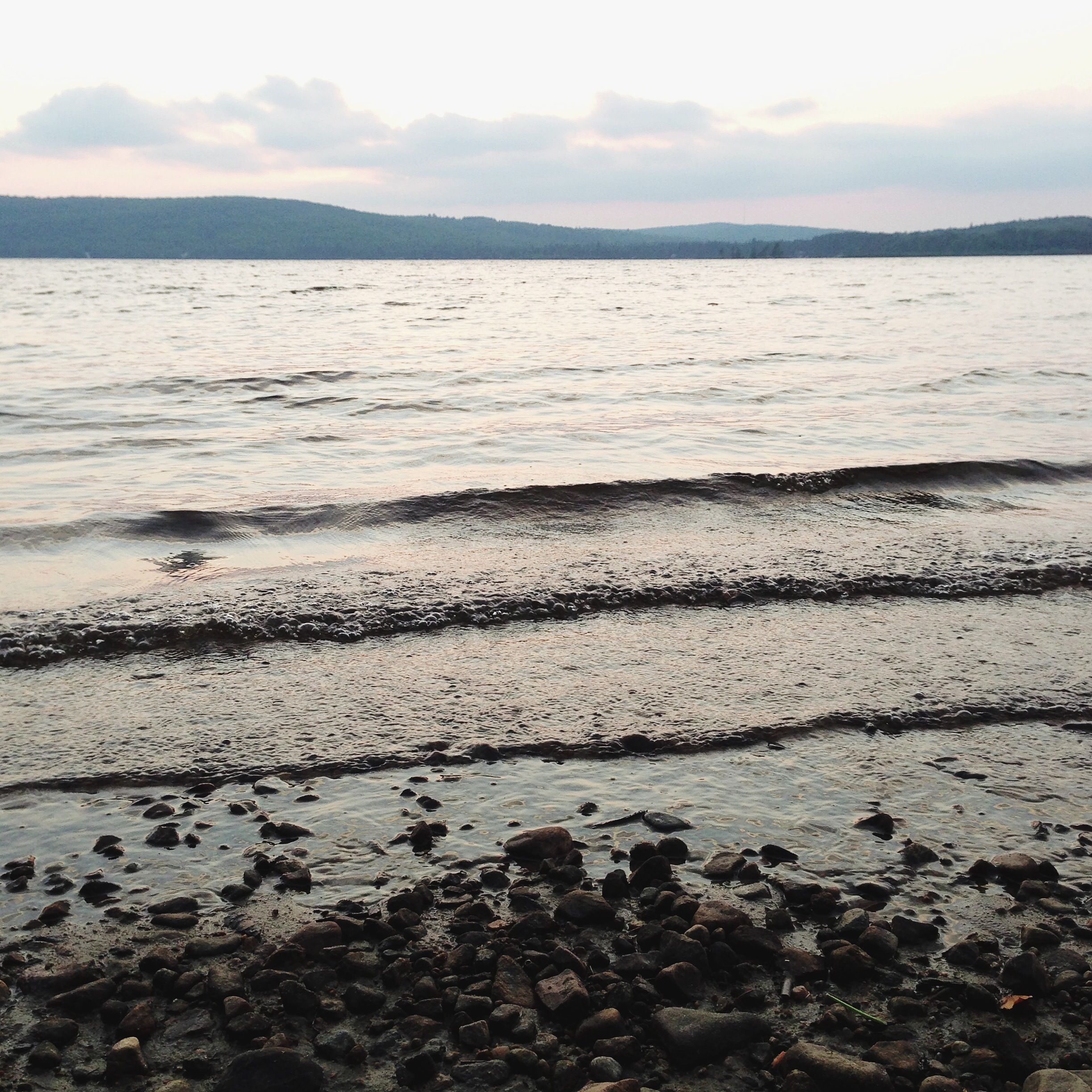
Lake views
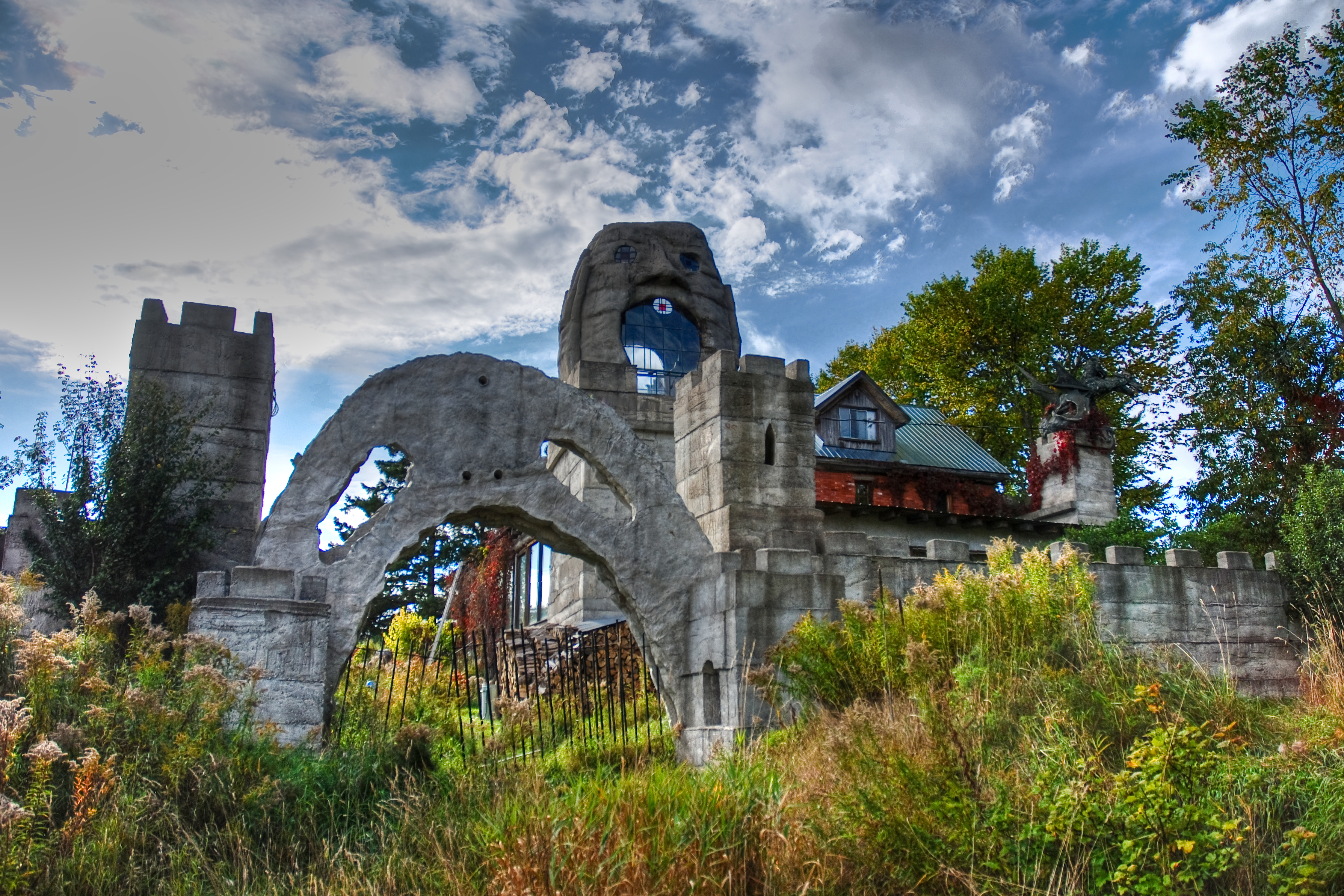
Spooky House - Front Gate
Lot 658 view
West side of Hwy 11 viewed southerly from the Seguin Trail at their crossing south of Emsdale Rd
Seguin Trail at Hwy 11 crossing S. of Emsdale Rd
Seguin Trail viewed westerly on west side of Hwy 11 crossing south of Emsdale Rd
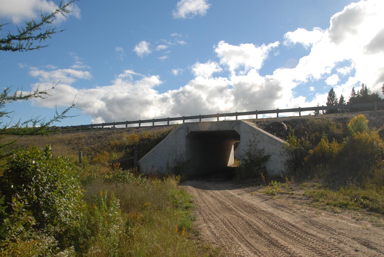
OFSC Route "D" at Hwy 11 crossing S. of Emsdale Rd

Seguin Trail?, OFSC Route "D", passing under Hwy 11 S. of Emsdale Rd. 2012-09-15
View N'ly from OFSC Route "D" just east of Hwy 11 crossing S. of Emsdale Rd
Seguin Trail at Hwy 11 crossing S. of Emsdale Rd

Fall Relections
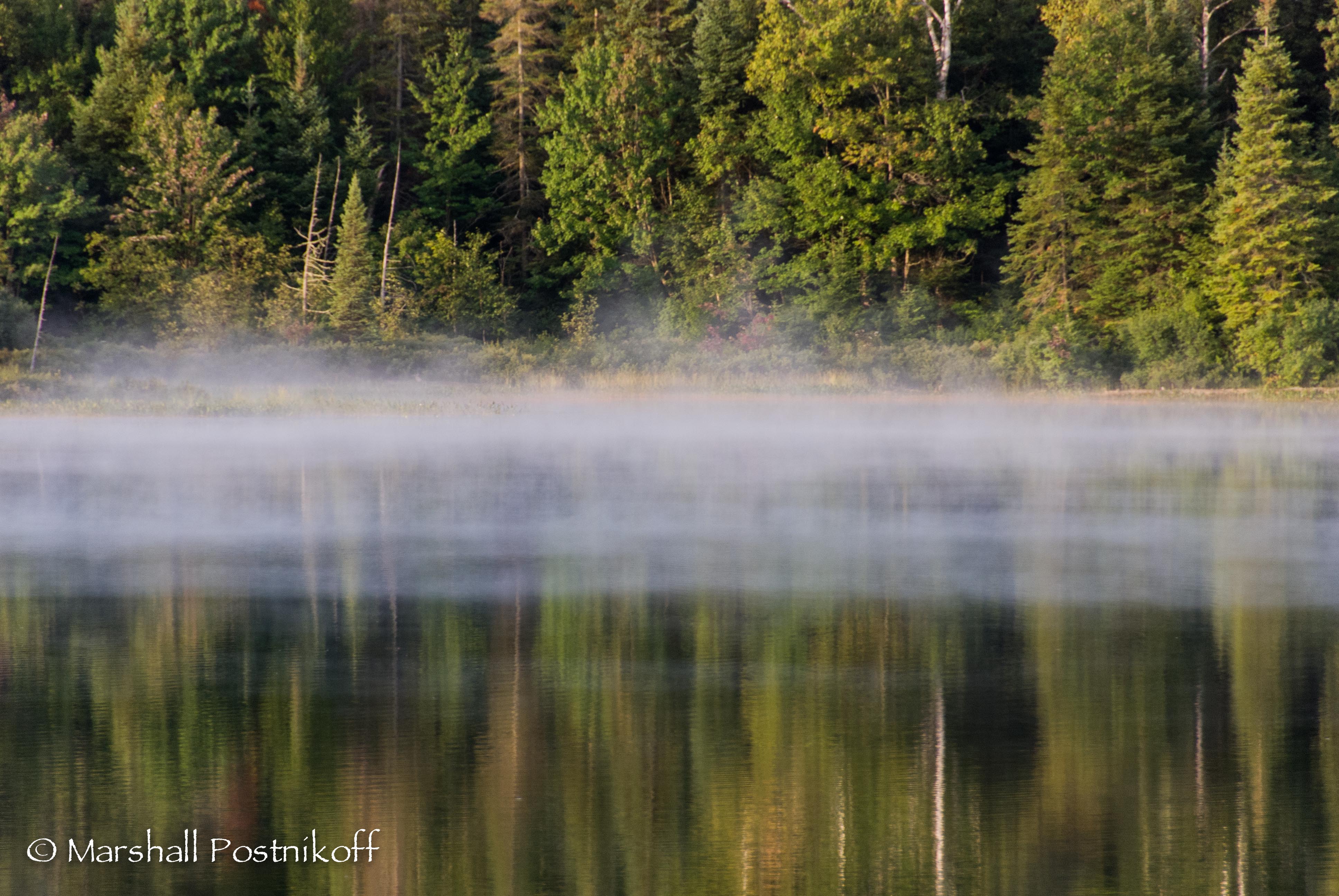
Mist Rising

Brooks Falls
Brooks Falls
Palette of Colour
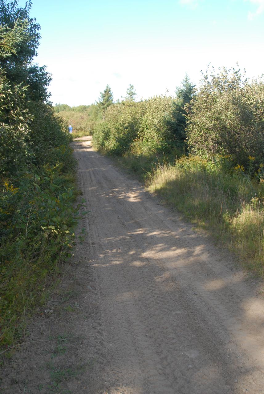
Hiking Bridge

256/365

2015-01-04_1420373412
Afternoon sun on the Birches
1,142

Golden Reflection

DGB Brooks Fall 2
1,750
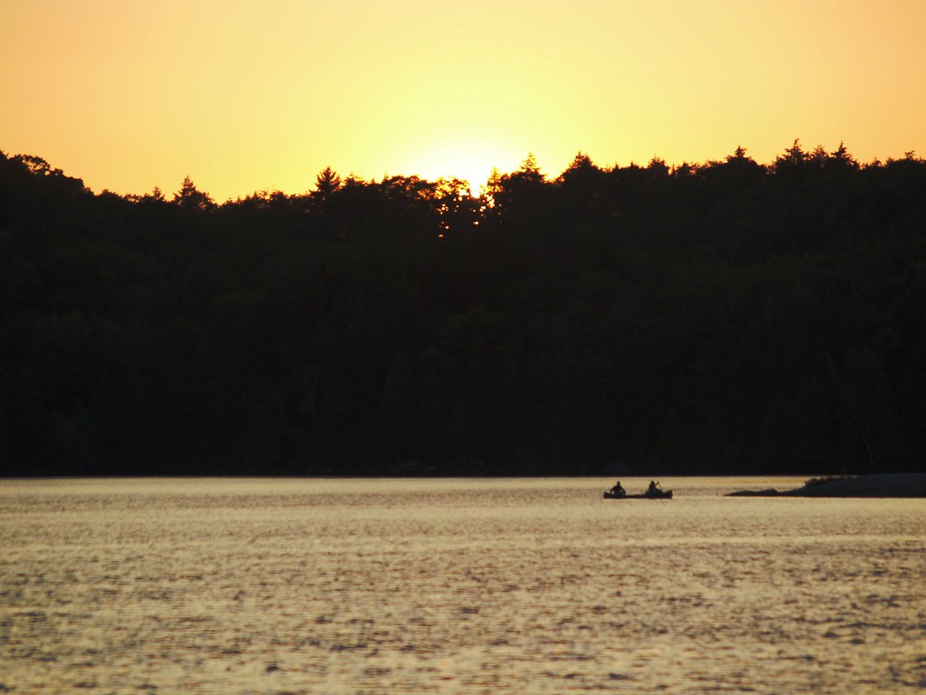
sunset on the lake
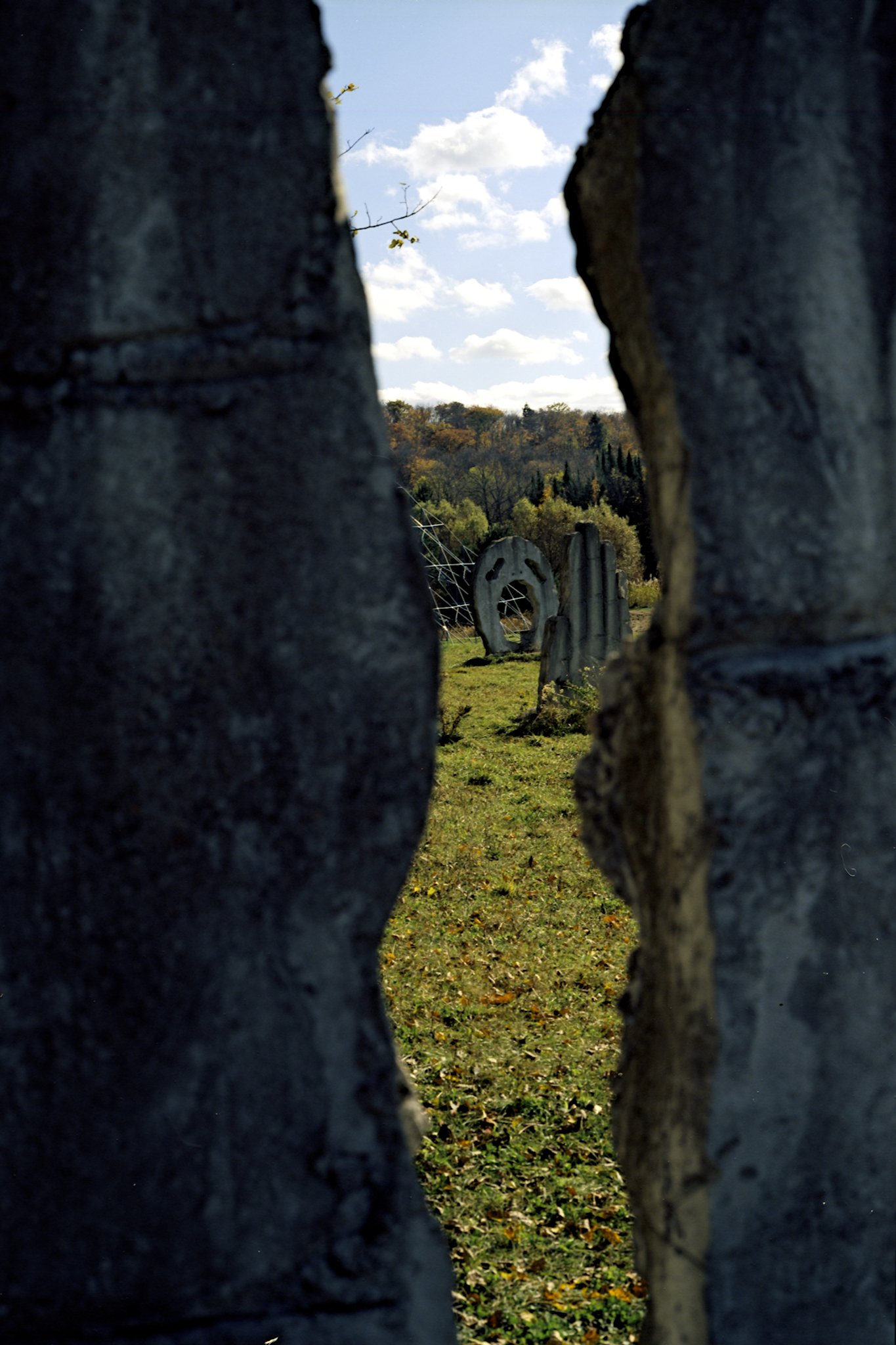
I Give Up
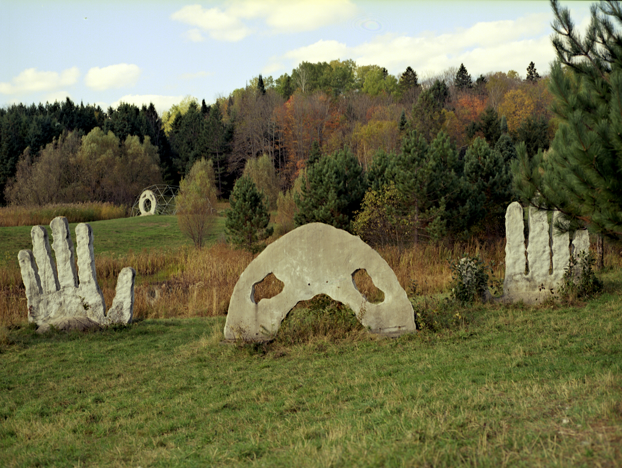
Through A Hand
Another World
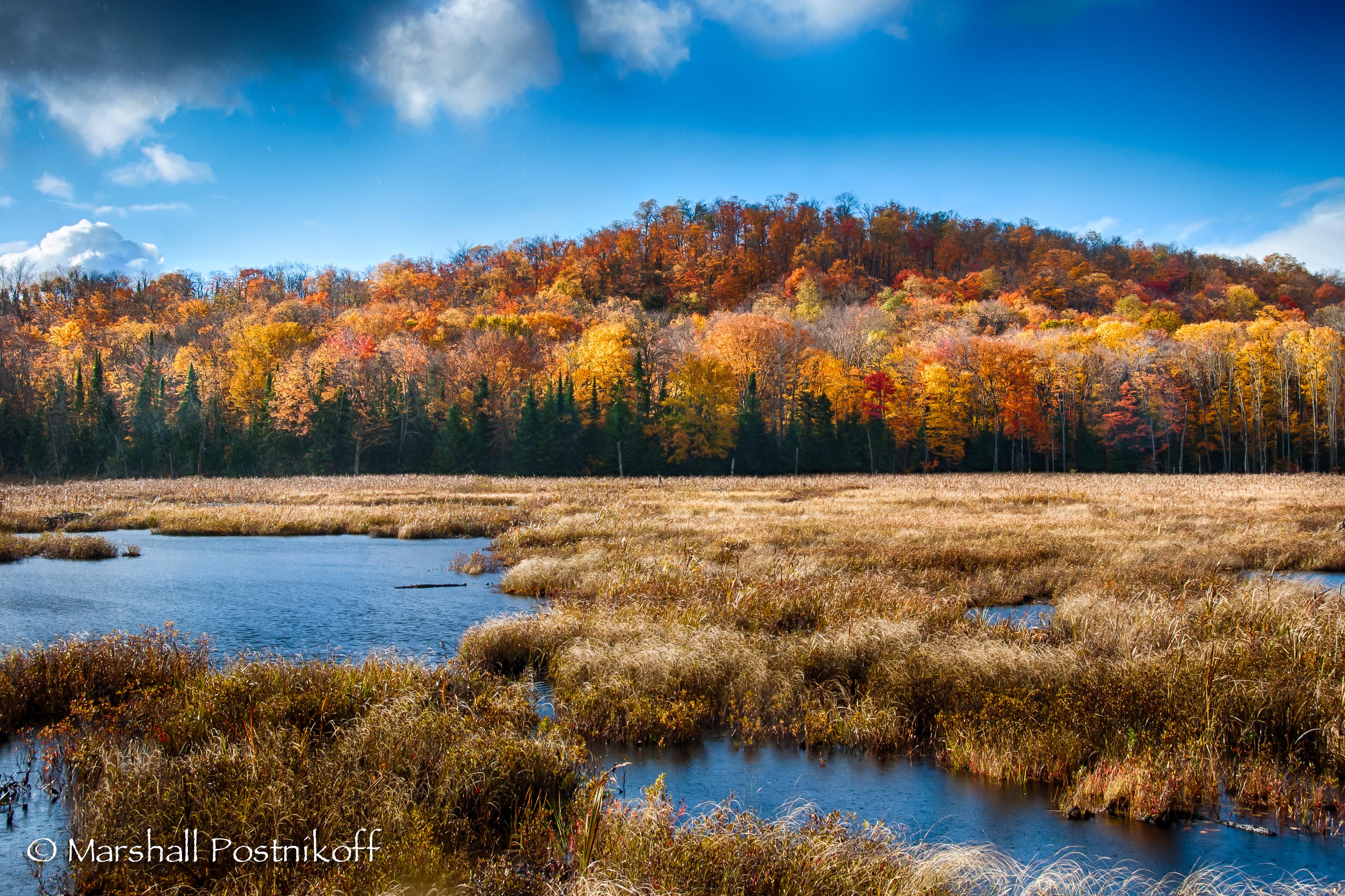
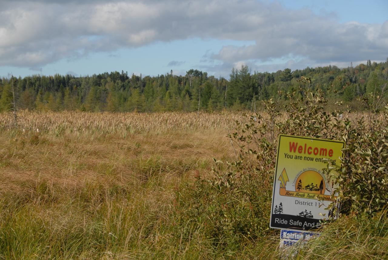
Fall Marsh
Topographic Map of 3 Three Mile Lake Rd, Katrine, ON P0A 1L0, Canada
Find elevation by address:

Places near 3 Three Mile Lake Rd, Katrine, ON P0A 1L0, Canada:
Katrine
232 Doe Lake Rd
29 Amylee Dr
Armour
545 Chetwynd Rd
Emsdale
104 Old Muskoka Rd
Burk's Falls
Perry
Elk Rd, Burk's Falls, ON P0A 1C0, Canada
97 Old Track Rd
29 Halls Rd
2578 Chetwynd Rd
24 Lilac Ln, Emsdale, ON P0A 1J0, Canada
1314 Pevensey Rd
Kearney
Sprucedale
2651 Stisted Rd S
Mcmurrich/monteith
74 2 Ave
Recent Searches:
- Elevation of 6 Rue Jules Ferry, Beausoleil, France
- Elevation of Sattva Horizon, 4JC6+G9P, Vinayak Nagar, Kattigenahalli, Bengaluru, Karnataka, India
- Elevation of Great Brook Sports, Gold Star Hwy, Groton, CT, USA
- Elevation of 10 Mountain Laurels Dr, Nashua, NH, USA
- Elevation of 16 Gilboa Ln, Nashua, NH, USA
- Elevation of Laurel Rd, Townsend, TN, USA
- Elevation of 3 Nestling Wood Dr, Long Valley, NJ, USA
- Elevation of Ilungu, Tanzania
- Elevation of Yellow Springs Road, Yellow Springs Rd, Chester Springs, PA, USA
- Elevation of Rēzekne Municipality, Latvia