Elevation of Springhill Junction, NS B0L, Canada
Location: Canada > Nova Scotia > Cumberland County > Cumberland, Subd. B >
Longitude: -64.112967
Latitude: 45.69355
Elevation: 67m / 220feet
Barometric Pressure: 101KPa
Elevation Map:
Satellite Map:
Related Photos:

Morris Street at Night

Springhill Miners Memorial
CFI short ecological forestry course
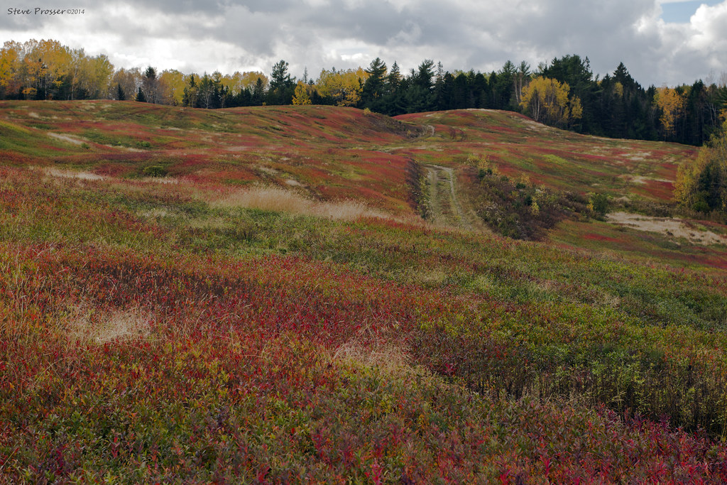
Autumn colours
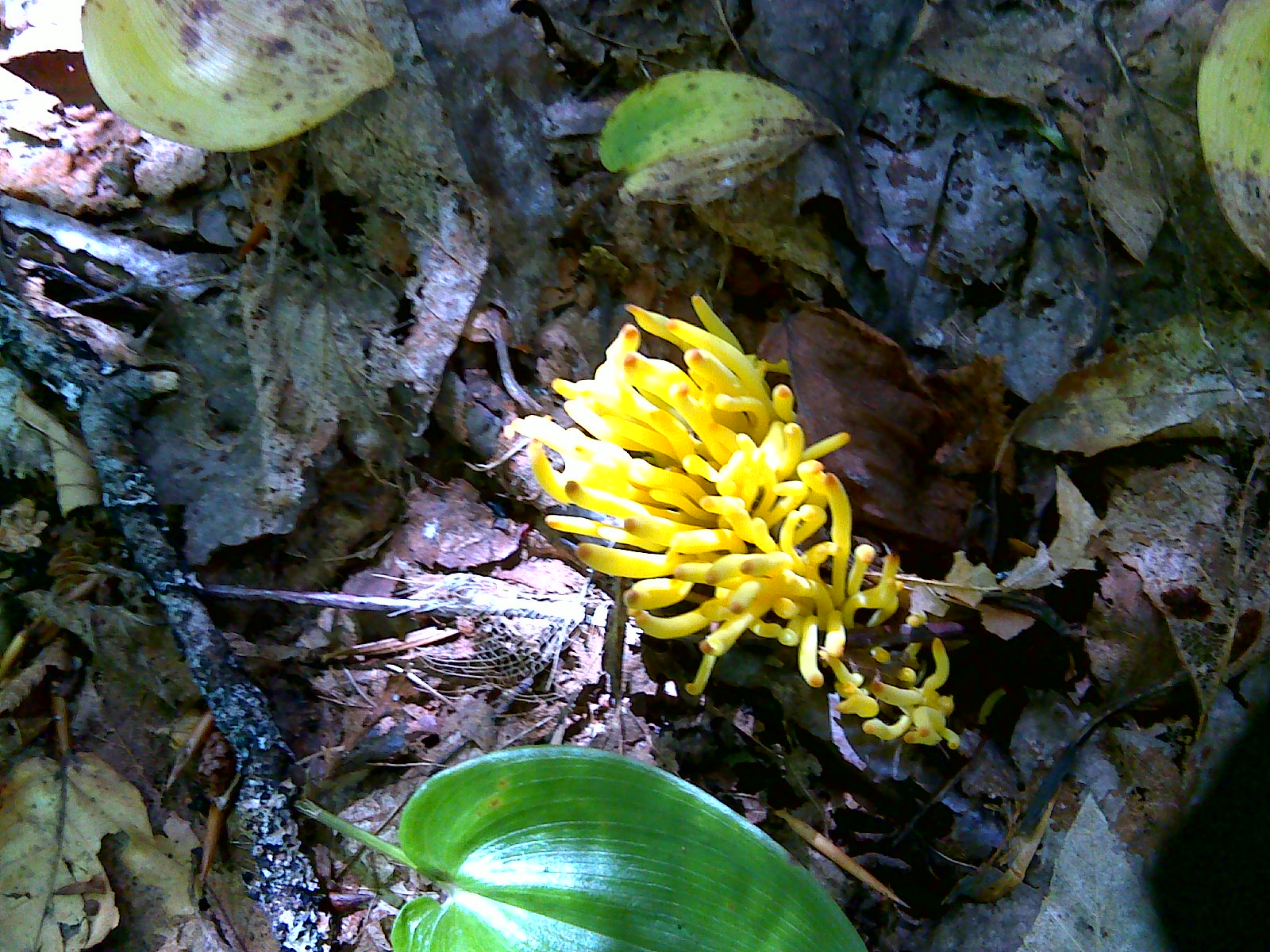
velvet pillow
"Look everyone, that guys got a camera"
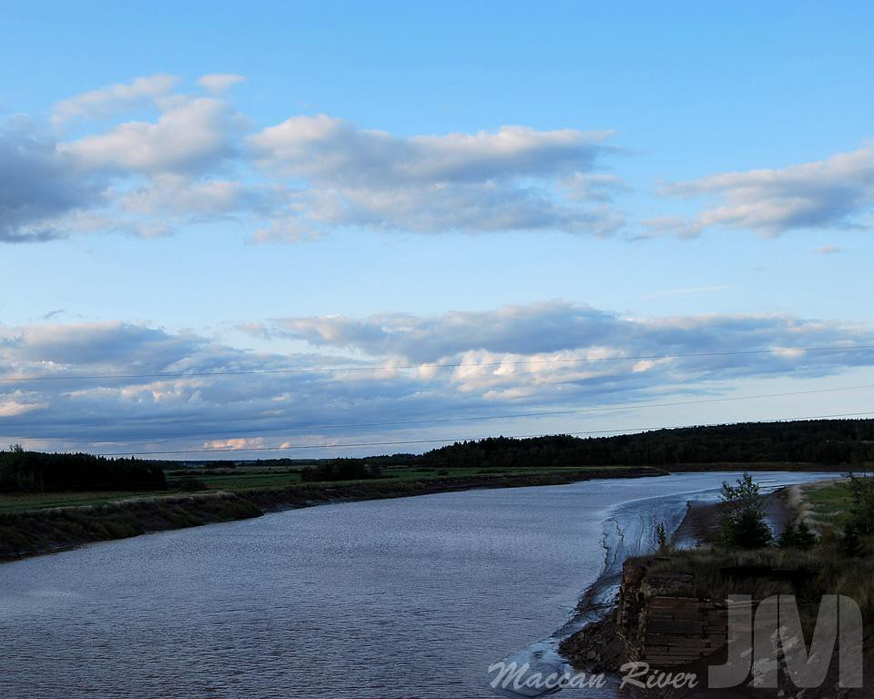
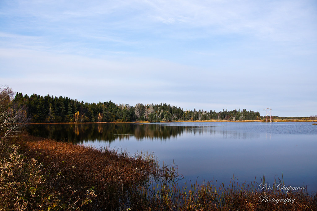
Maccan River

This was taken through the windshield so there is some distortion but the ice covered trees were so pretty through the Cobequid Pass I couldn't resist.
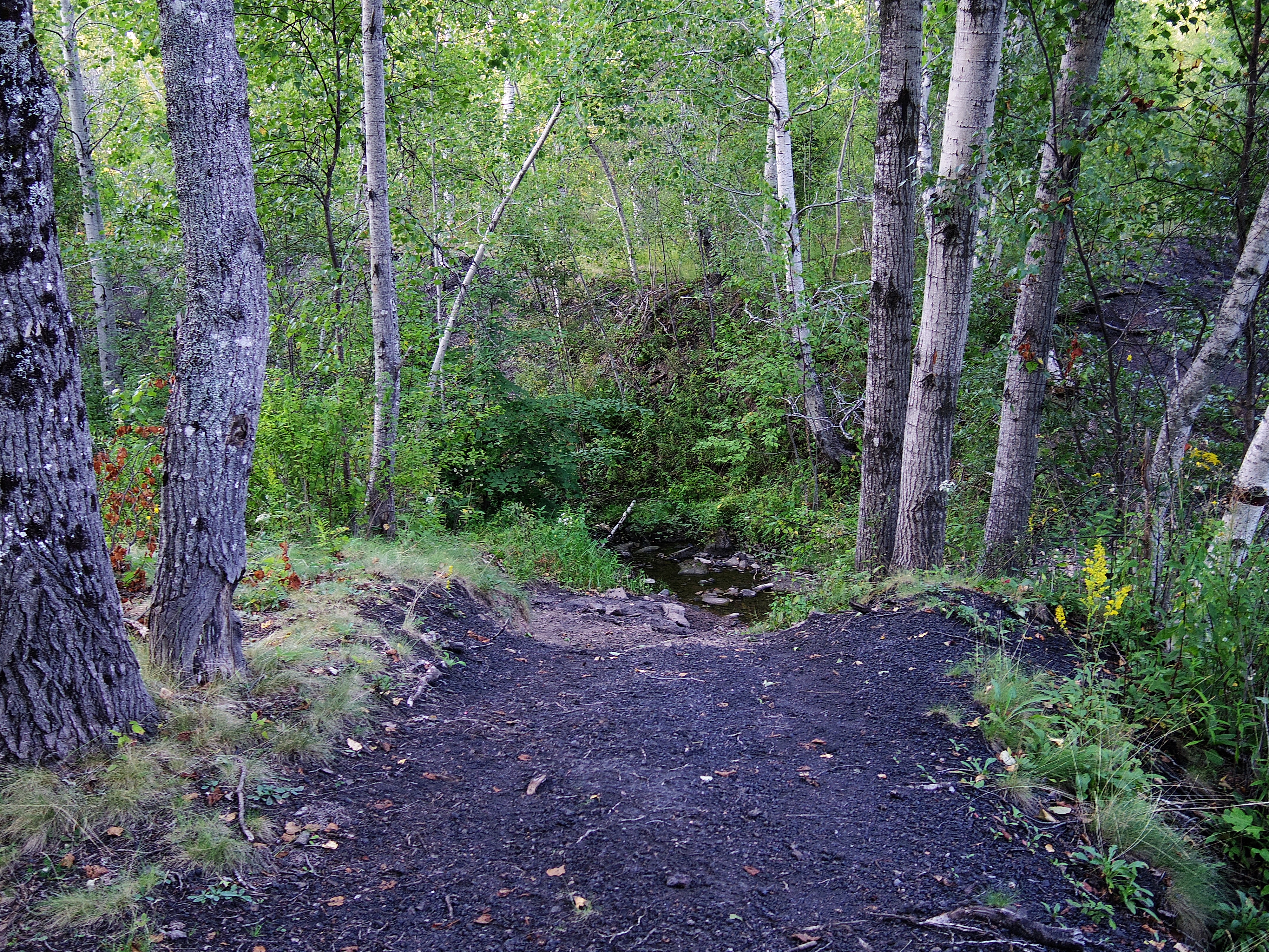
Old "black track"
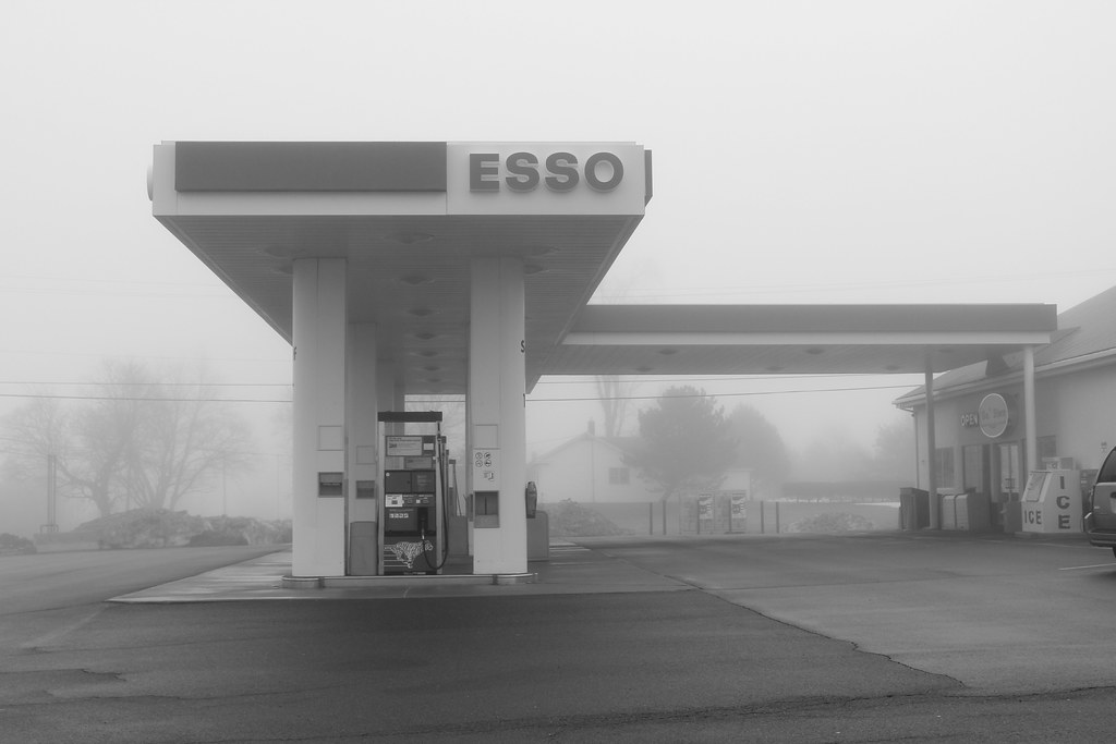
Gas Station, Amherst, NS
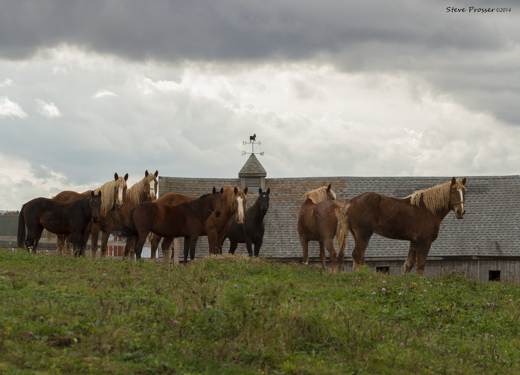
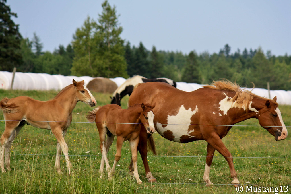
Wildlife Sanctuary 2
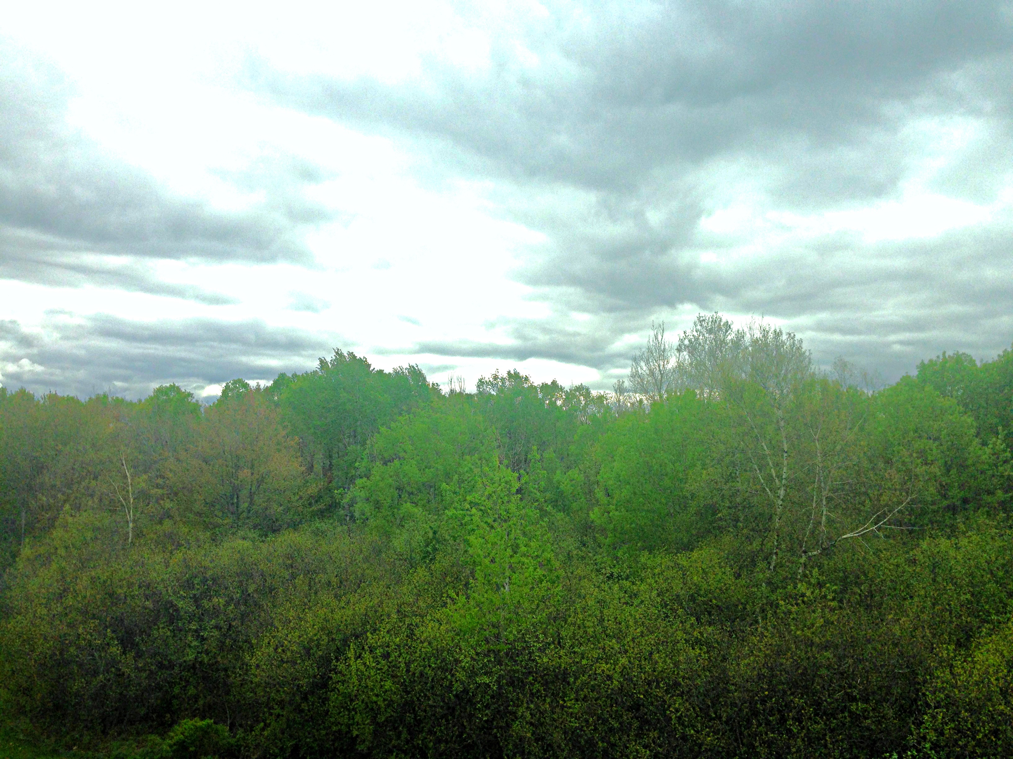
Amherst NS overcast
Wildlife Sanctuary 3
IMG_4656.jpg
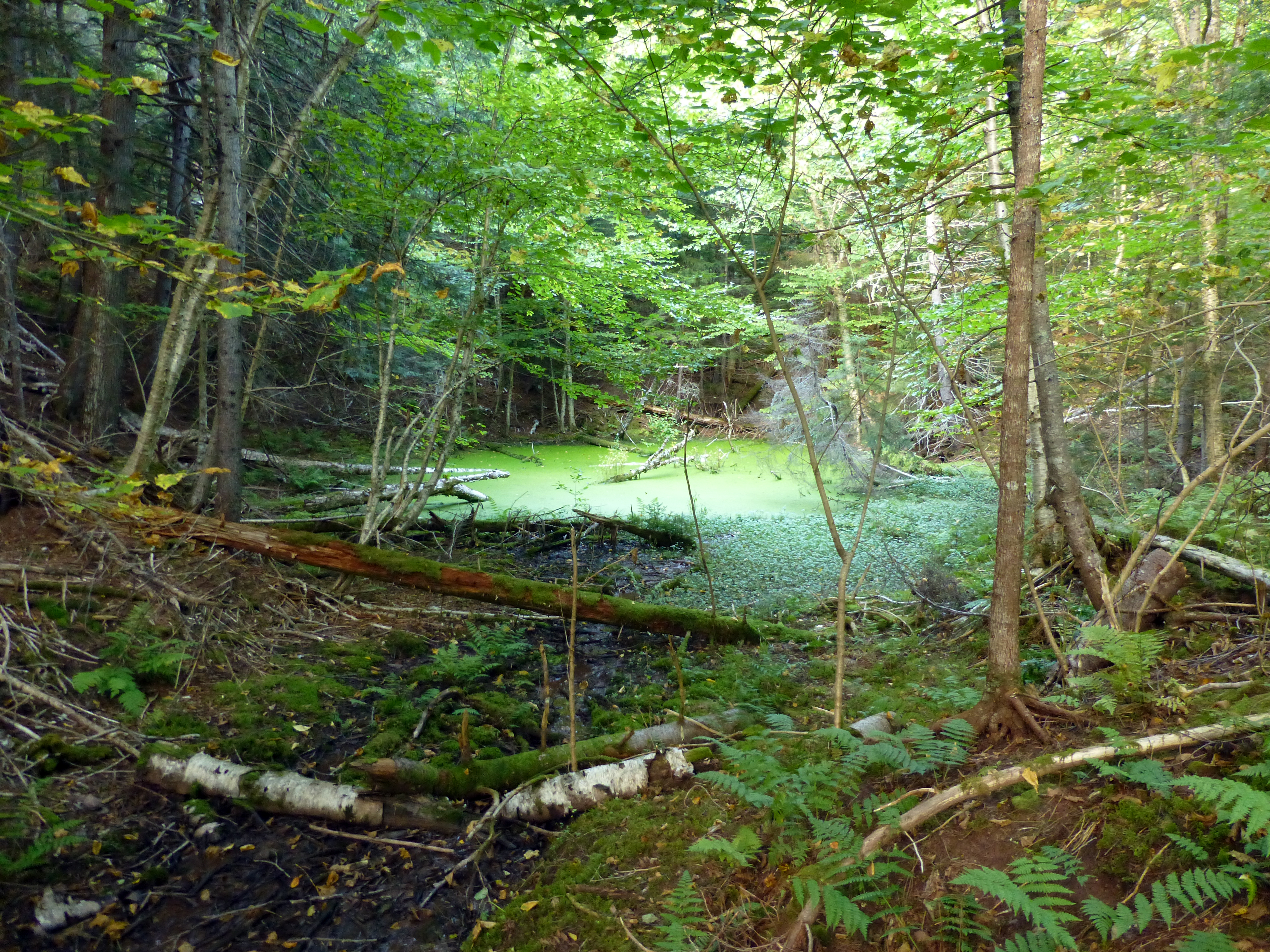
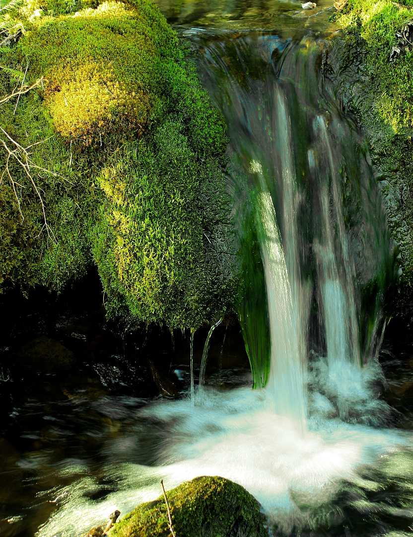
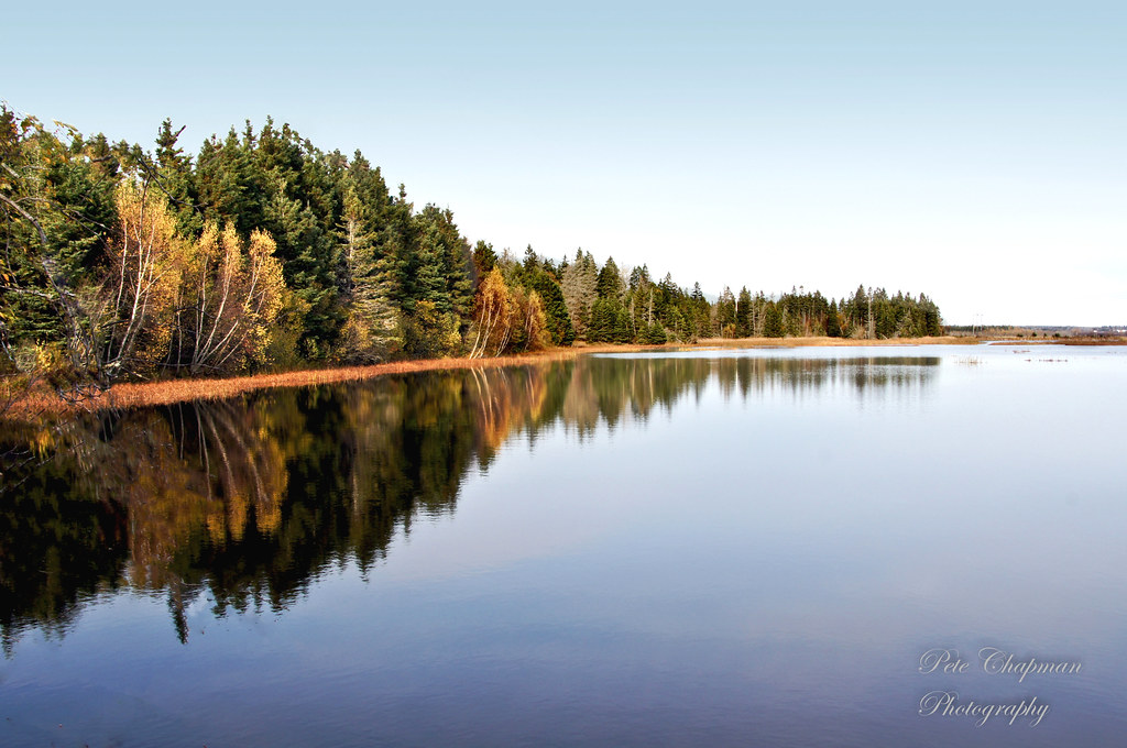
A Network of Ponds
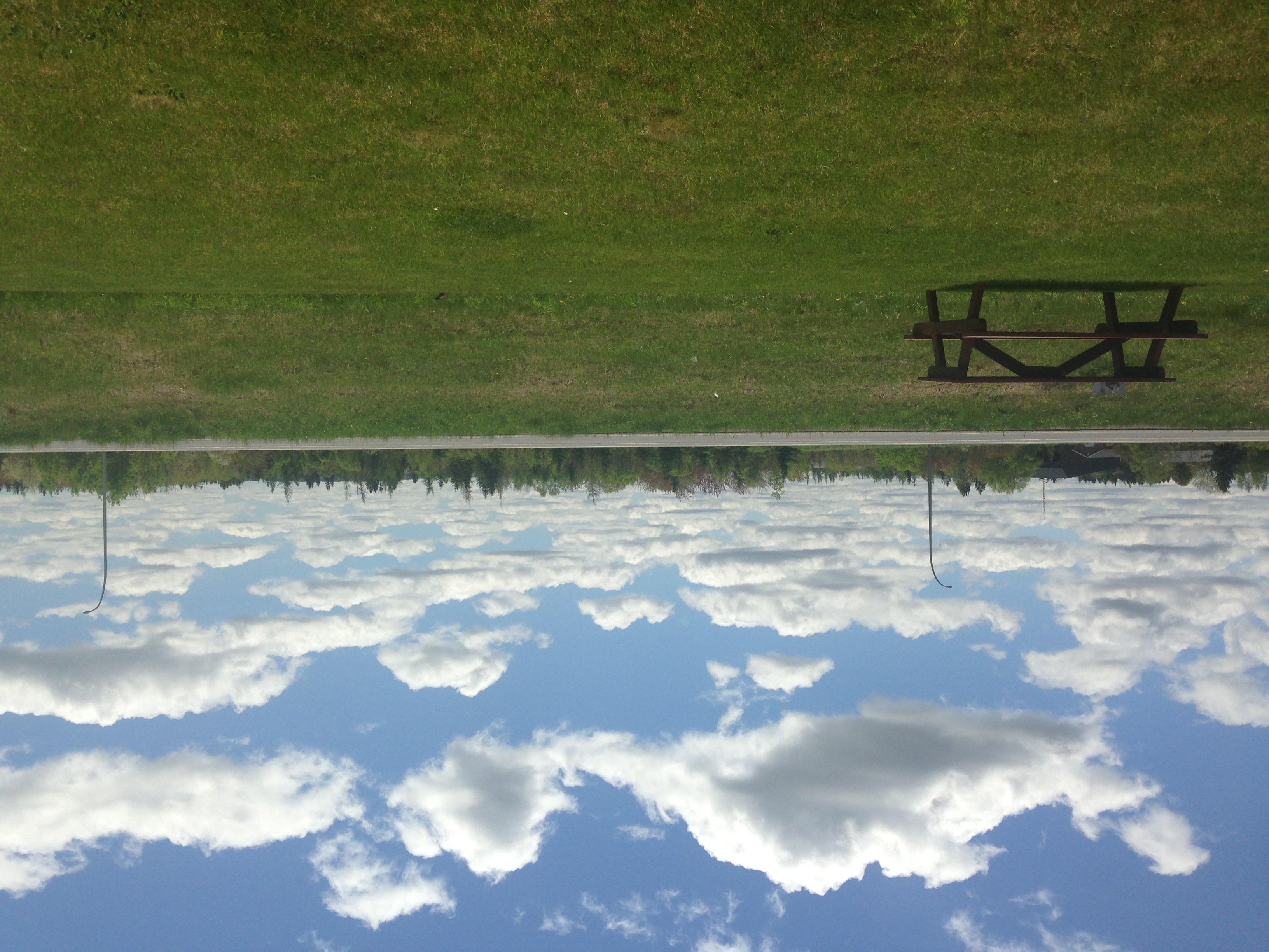
Amherst ns clouds

Maples!
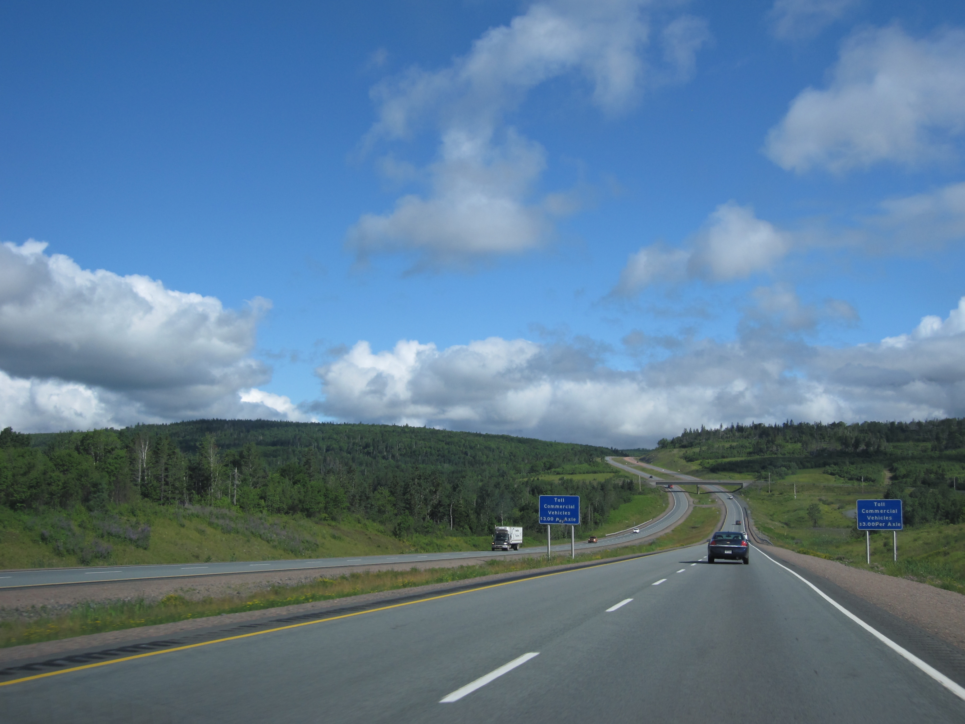
Day 7, Halifax, NS - Kingfield, ME 007
Topographic Map of Springhill Junction, NS B0L, Canada
Find elevation by address:

Places in Springhill Junction, NS B0L, Canada:
Places near Springhill Junction, NS B0L, Canada:
Athol Rd, Springhill, NS B0M 1X0, Canada
185 Junction Rd
85 Junction Rd
20 Queen St
Springhill
126 North St
2 Victoria St
5 Junction Rd
Mcdougal Street
3 Princess St
NS-, Amherst, NS B4H 3Y3, Canada
91 Athol Station Rd, Southampton, NS B0M 1W0, Canada
115 Hastings Rd
Windham Hill Rd, Springhill, NS B0M 1X0, Canada
4626 Ns-302
30 Mines Rd, Maccan, NS B0L 1B0, Canada
39 Travis Rd
99 Fenwick Rd
Maccan
Nappan
Recent Searches:
- Elevation of Corso Fratelli Cairoli, 35, Macerata MC, Italy
- Elevation of Tallevast Rd, Sarasota, FL, USA
- Elevation of 4th St E, Sonoma, CA, USA
- Elevation of Black Hollow Rd, Pennsdale, PA, USA
- Elevation of Oakland Ave, Williamsport, PA, USA
- Elevation of Pedrógão Grande, Portugal
- Elevation of Klee Dr, Martinsburg, WV, USA
- Elevation of Via Roma, Pieranica CR, Italy
- Elevation of Tavkvetili Mountain, Georgia
- Elevation of Hartfords Bluff Cir, Mt Pleasant, SC, USA