Elevation of Cumberland, Subd. B, NS, Canada
Location: Canada > Nova Scotia > Cumberland County >
Longitude: -64.238336
Latitude: 45.6093078
Elevation: 34m / 112feet
Barometric Pressure: 101KPa
Elevation Map:
Satellite Map:
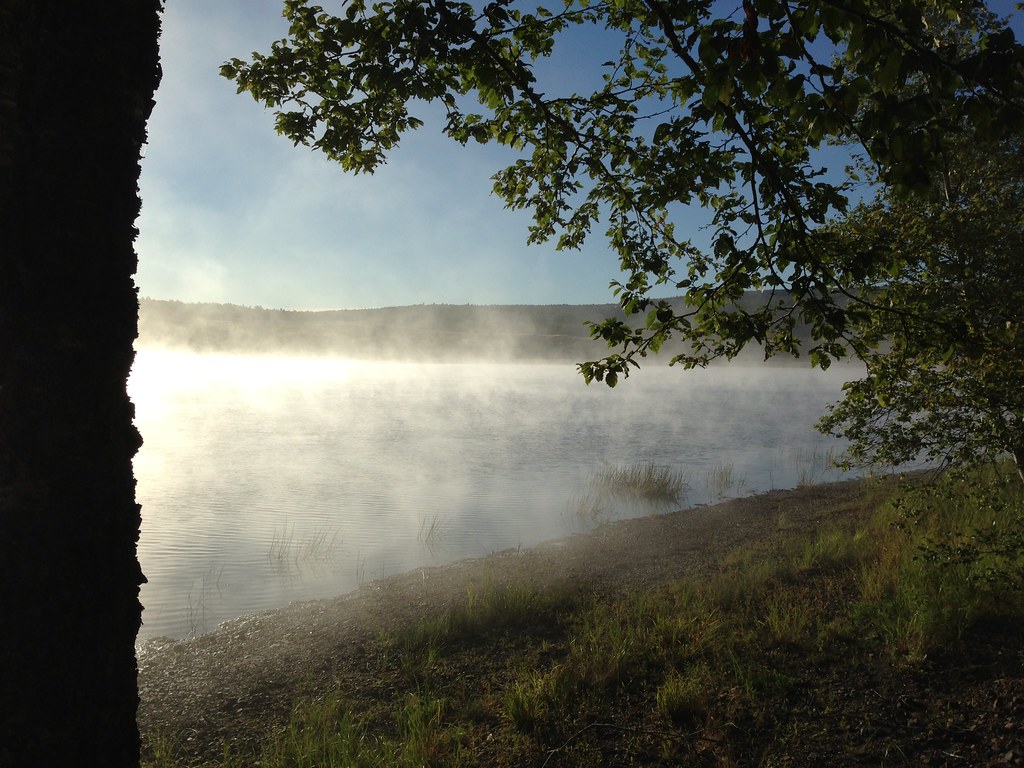
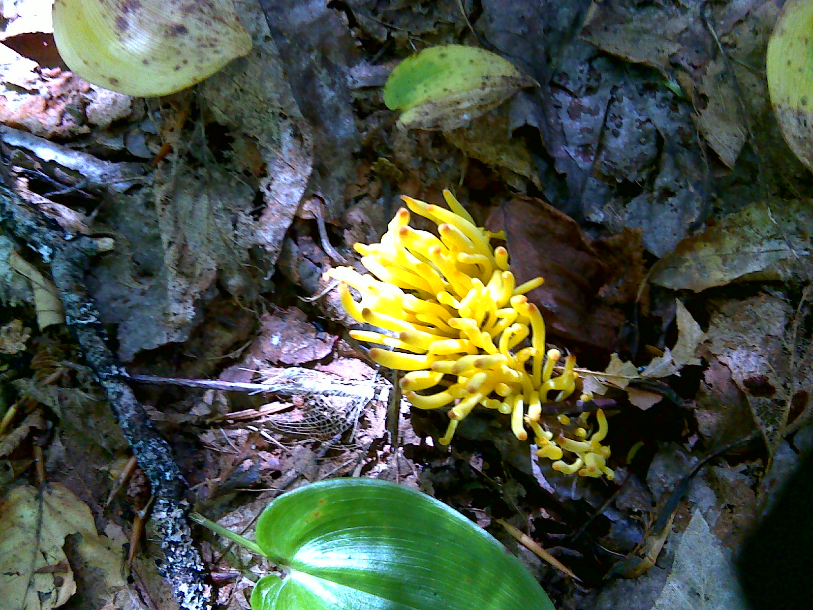
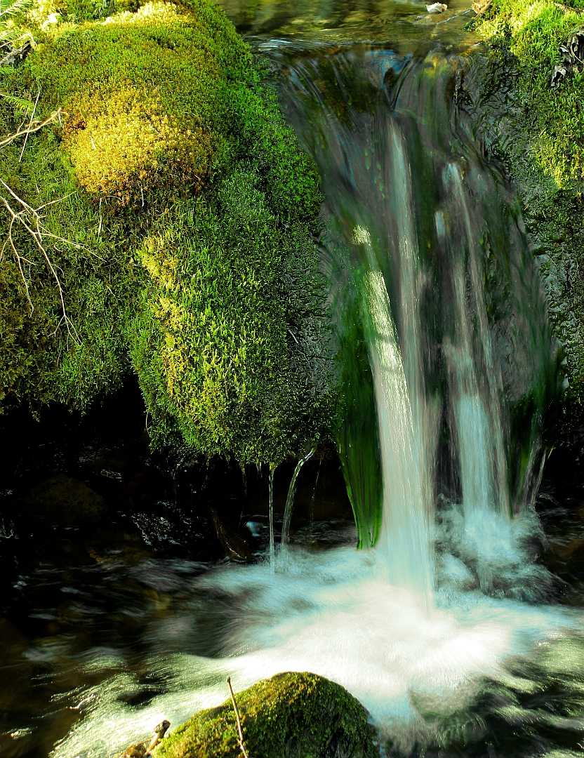
Related Photos:

Morris Street at Night

Springhill Miners Memorial
Took this morning with my iPhone
CFI short ecological forestry course
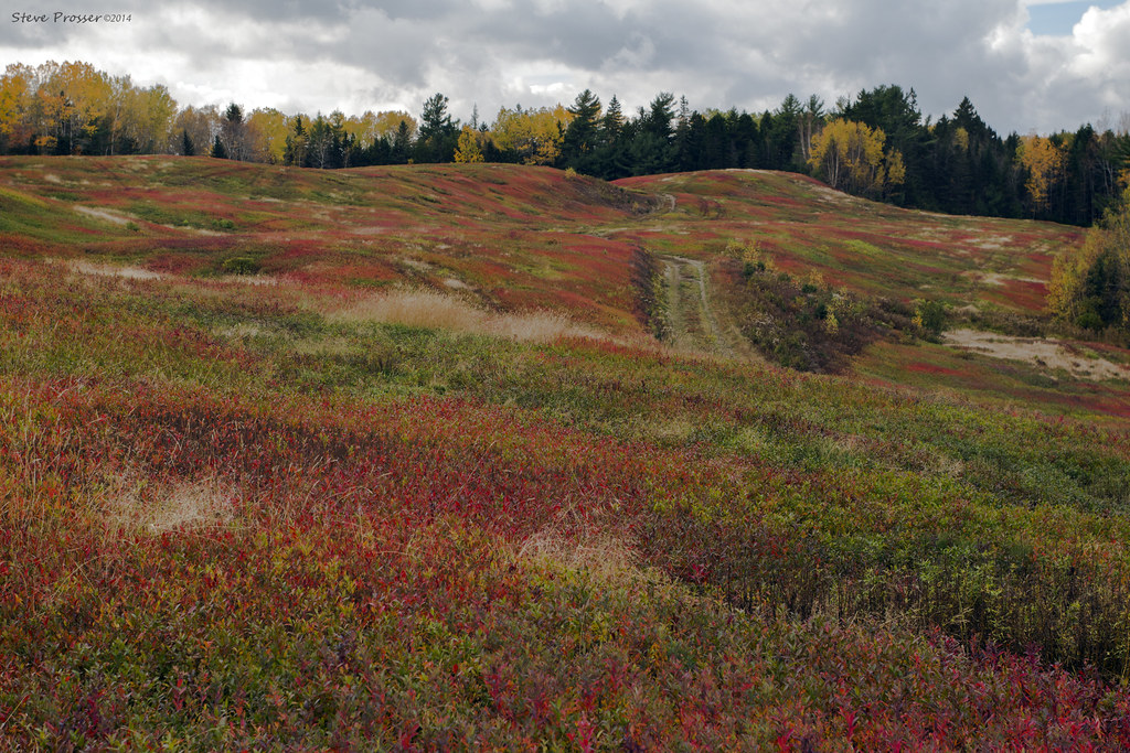
Autumn colours
velvet pillow
"Look everyone, that guys got a camera"
Maccan River
Old "black track"
River Hebert
Topographic Map of Cumberland, Subd. B, NS, Canada
Find elevation by address:

Places in Cumberland, Subd. B, NS, Canada:
Springhill Junction
Maccan
Springhill
Old Farm Rd, Parrsboro, NS B0M 1S0, Canada
72 Spring Tide Ln, Parrsboro, NS B0M 1S0, Canada
Blue Sac Rd, Lower Five Islands, NS B0M 1N0, Canada
Prospect Rd, Parrsboro, NS B0M 1S0, Canada
Wentworth Collingwood Rd, Collingwood Corner, NS B0M 1E0, Canada
Nappan
Places near Cumberland, Subd. B, NS, Canada:
Southampton
91 Athol Station Rd, Southampton, NS B0M 1W0, Canada
Canaan Mountain Rd, Southampton, NS B0M 1W0, Canada
30 Mines Rd, Maccan, NS B0L 1B0, Canada
Maccan
Boars Back Rd, Southampton, NS B0M 1W0, Canada
Athol Rd, Springhill, NS B0M 1X0, Canada
Lower Maccan Rd, Maccan, NS B0L 1B0, Canada
3994 Boars Back Rd
Springhill Junction
Nappan
99 Fenwick Rd
River Hebert
4626 Ns-302
1479 Ns-242
457 Pit Rd
Harrison Settlement Rd, Diligent River, NS B0M 1H0, Canada
20 Queen St
Mcdougal Street
Springhill
Recent Searches:
- Elevation of Corso Fratelli Cairoli, 35, Macerata MC, Italy
- Elevation of Tallevast Rd, Sarasota, FL, USA
- Elevation of 4th St E, Sonoma, CA, USA
- Elevation of Black Hollow Rd, Pennsdale, PA, USA
- Elevation of Oakland Ave, Williamsport, PA, USA
- Elevation of Pedrógão Grande, Portugal
- Elevation of Klee Dr, Martinsburg, WV, USA
- Elevation of Via Roma, Pieranica CR, Italy
- Elevation of Tavkvetili Mountain, Georgia
- Elevation of Hartfords Bluff Cir, Mt Pleasant, SC, USA