Elevation map of Cumberland County, NS, Canada
Location: Canada > Nova Scotia >
Longitude: -63.859399
Latitude: 45.8006463
Elevation: 82m / 269feet
Barometric Pressure: 100KPa
Elevation Map:
Satellite Map:
Related Photos:

View from the Cottage Deck
View from the Cottage Deck (alt)
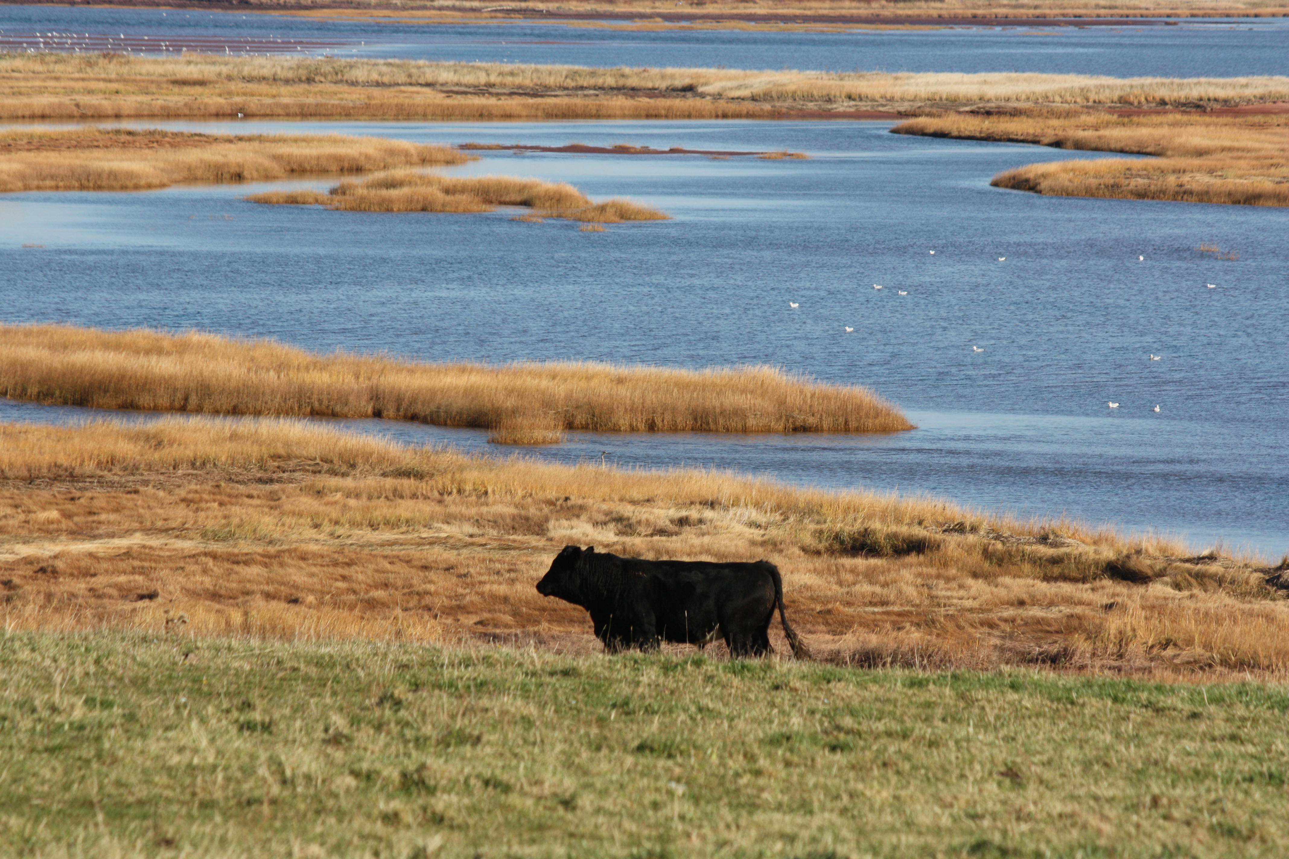
East Linden, Nova Scotia
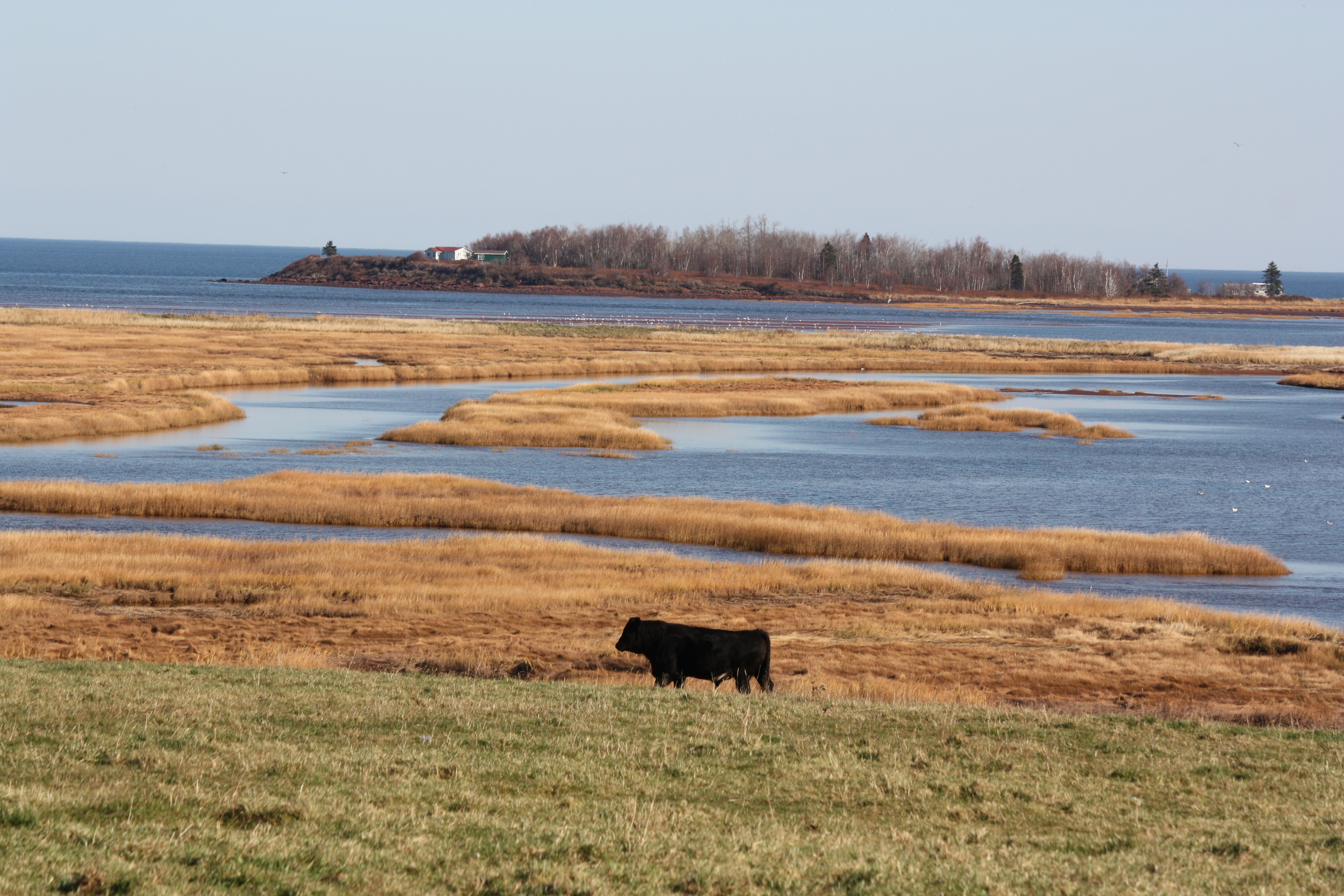
East Linden, Nova Scotia

East Linden, Nova Scotia
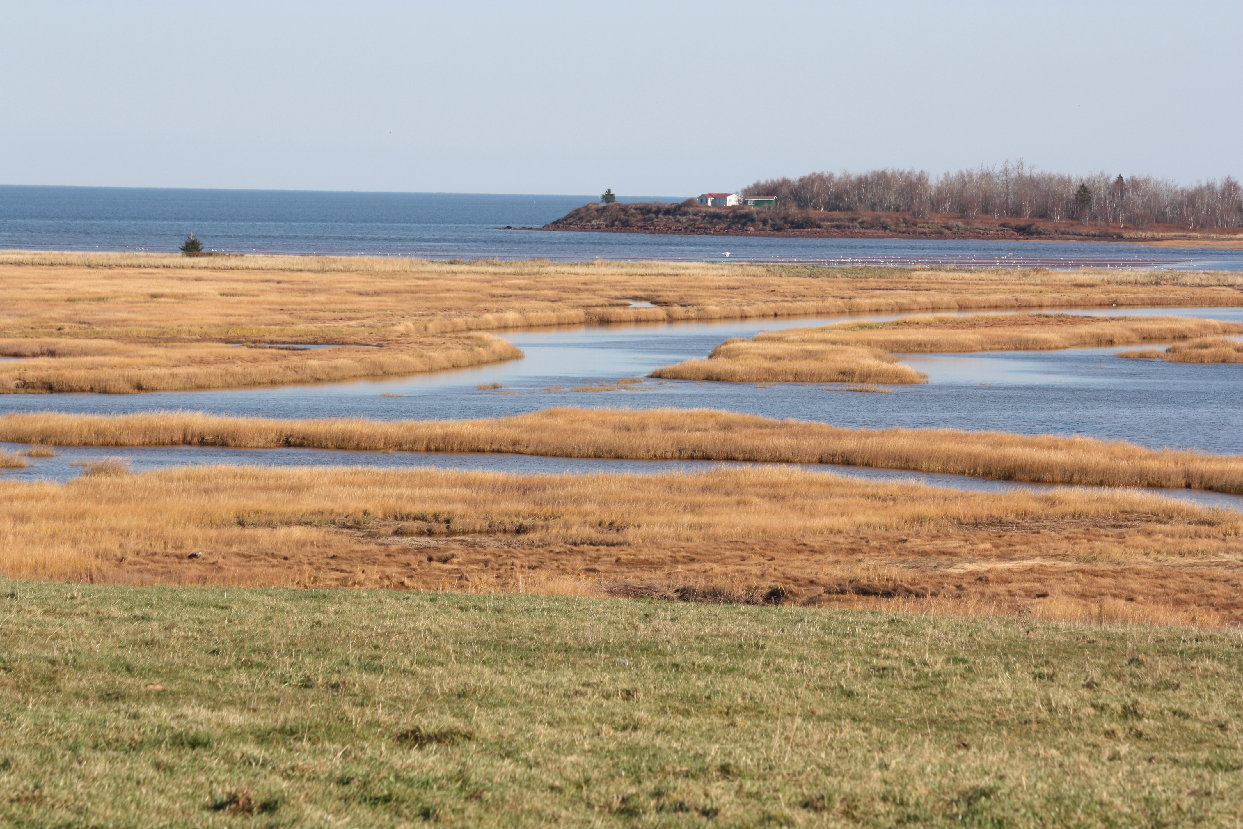
East Linden, Nova Scotia

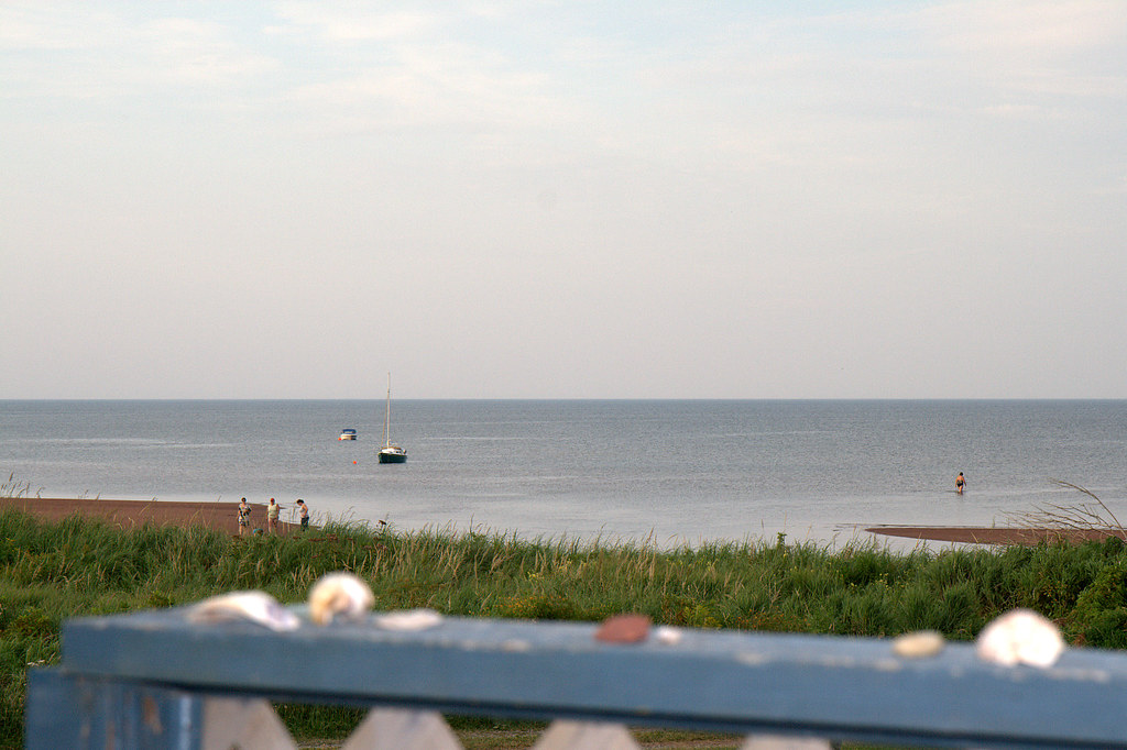
Sunrise at Cameron Beach

Sunrise at Cameron Beach

Along Trunk Highway 6
Along Trunk Highway 6

Sunrise at Cameron Beach
Collingwood Corner

Sunrise at Cameron Beach
IMG_6369 Aurora Borealis at Crescent Beach, Pugwash, Nova Scotia

Low Tide

IMG_1962 Deer in a Field

IMG_1975 Deer in a Field

IMG_7970 Deer in an Oxford Field

IMG_1991 Deer in a Field

IMG_2324 Red Sky at Night

IMG_1959 Deer in a Field

_-41

High Tide

IMG_1958 Deer in a Field
Topographic Map of Cumberland County, NS, Canada
Find elevation by address:

Places in Cumberland County, NS, Canada:
Places near Cumberland County, NS, Canada:
5449 Little River Rd
32 James St
Oxford
NS-, Northport, NS B0L 1E0, Canada
5072 Main St
Tim Hortons
2074 Kolbec Rd
4 Klondike Rd, Amherst, NS B4H 3Y1, Canada
4146 Main St
Cumberland, Subd. C
Oxford Junction
41 Track Rd
9121 Ns-366
9121 Ns-366
9121 Ns-366
NS-, Amherst, NS B4H 3Y1, Canada
Northport
Cameron Beach
Collingwood Corner
647 Wentworth Collingwood Rd
Recent Searches:
- Elevation of Corso Fratelli Cairoli, 35, Macerata MC, Italy
- Elevation of Tallevast Rd, Sarasota, FL, USA
- Elevation of 4th St E, Sonoma, CA, USA
- Elevation of Black Hollow Rd, Pennsdale, PA, USA
- Elevation of Oakland Ave, Williamsport, PA, USA
- Elevation of Pedrógão Grande, Portugal
- Elevation of Klee Dr, Martinsburg, WV, USA
- Elevation of Via Roma, Pieranica CR, Italy
- Elevation of Tavkvetili Mountain, Georgia
- Elevation of Hartfords Bluff Cir, Mt Pleasant, SC, USA