Elevation of Springfield Township, OH, USA
Location: United States > Ohio > Gallia County >
Longitude: -82.2800546
Latitude: 38.8784103
Elevation: 225m / 738feet
Barometric Pressure: 0KPa
Related Photos:

Mountain State
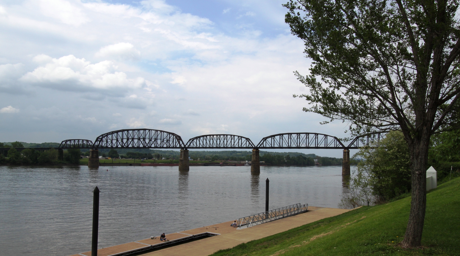
Ohio River from Tu-Endie-Wei State Park
Point Pleasant's less famous bridge

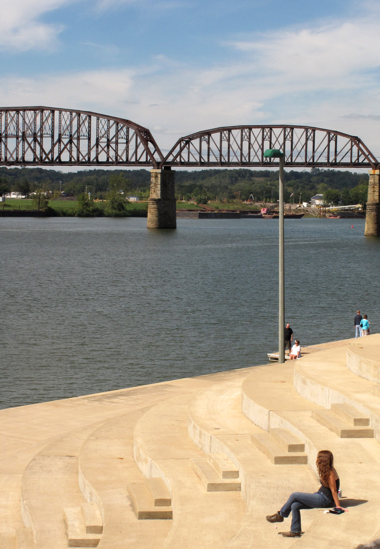
Ohio River near Fortification Hill - Gallipolis Ohio

100-2255

New wing at Point Pleasant HS

Basement Kitchen

Summer Storm - {Explored #47}

Created with #LensFlare. #landscape #skyscape #sunset #summertime #sunshine #sunset #instagram
Picture 1241

Mound Hill Cemetery 4
Point Pleasant, WV Panorama

Kanawha River from Tu-Endie-Wei State Park

Gallipolis-20130823-00271.jpg
IMG_3936 copy
Ohio River IMG_2229

Mound Cemetery - Gallipolis, Ohio

Fortification Hill - Gallipolis, Ohio

Rio Grande

Sunset on the Ohio River

Fortification Hill 3

Battle of Point Pleasant

Gallipolis Ohio

silver memorial bridge

Sunset on the Ohio River

Ohio River Point Pleasant, West Virginia
Topographic Map of Springfield Township, OH, USA
Find elevation by address:

Places in Springfield Township, OH, USA:
Places near Springfield Township, OH, USA:
OH-, Gallipolis, OH, USA
Bidwell
OH-, Gallipolis, OH, USA
Kathy St, Gallipolis, OH, USA
County Rd 33, Bidwell, OH, USA
Gallia County
OH-, Gallipolis, OH, USA
Green Township
Addison Township
Gallipolis Township
Mound Hill Cemetery
Gallipolis
Middleton Estates
675 Pioneer Trail Rd
Vinton
Eastern Ave, Gallipolis, OH, USA
Huntington Township
51 Kelley Dr, Gallipolis, OH, USA
836 Mt Tabor Rd
Gallipolis Ferry
Recent Searches:
- Elevation map of Greenland, Greenland
- Elevation of Sullivan Hill, New York, New York, 10002, USA
- Elevation of Morehead Road, Withrow Downs, Charlotte, Mecklenburg County, North Carolina, 28262, USA
- Elevation of 2800, Morehead Road, Withrow Downs, Charlotte, Mecklenburg County, North Carolina, 28262, USA
- Elevation of Yangbi Yi Autonomous County, Yunnan, China
- Elevation of Pingpo, Yangbi Yi Autonomous County, Yunnan, China
- Elevation of Mount Malong, Pingpo, Yangbi Yi Autonomous County, Yunnan, China
- Elevation map of Yongping County, Yunnan, China
- Elevation of North 8th Street, Palatka, Putnam County, Florida, 32177, USA
- Elevation of 107, Big Apple Road, East Palatka, Putnam County, Florida, 32131, USA
- Elevation of Jiezi, Chongzhou City, Sichuan, China
- Elevation of Chongzhou City, Sichuan, China
- Elevation of Huaiyuan, Chongzhou City, Sichuan, China
- Elevation of Qingxia, Chengdu, Sichuan, China
- Elevation of Corso Fratelli Cairoli, 35, Macerata MC, Italy
- Elevation of Tallevast Rd, Sarasota, FL, USA
- Elevation of 4th St E, Sonoma, CA, USA
- Elevation of Black Hollow Rd, Pennsdale, PA, USA
- Elevation of Oakland Ave, Williamsport, PA, USA
- Elevation of Pedrógão Grande, Portugal