Elevation of OH-, Gallipolis, OH, USA
Location: United States > Ohio > Gallia County > Gallipolis Township > Gallipolis >
Longitude: -82.273432
Latitude: 38.8322796
Elevation: 218m / 715feet
Barometric Pressure: 99KPa
Elevation Map:
Satellite Map:
Related Photos:
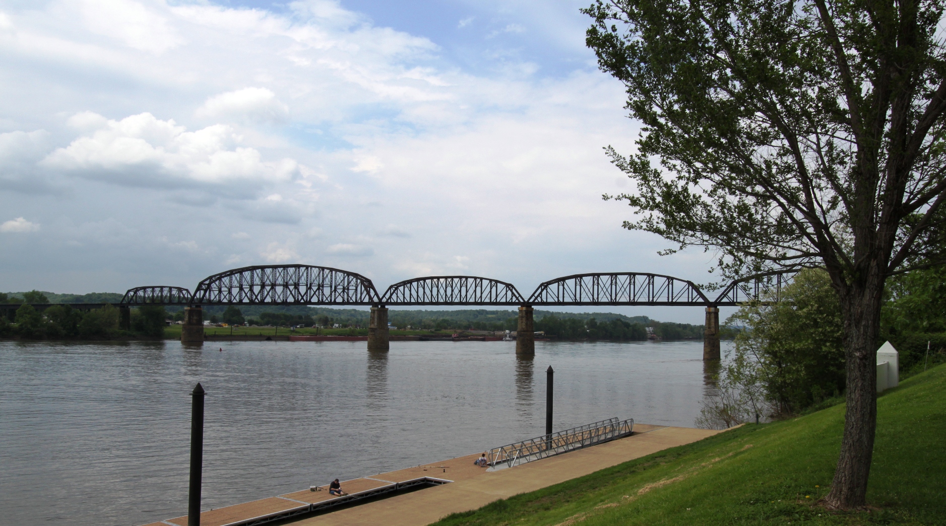
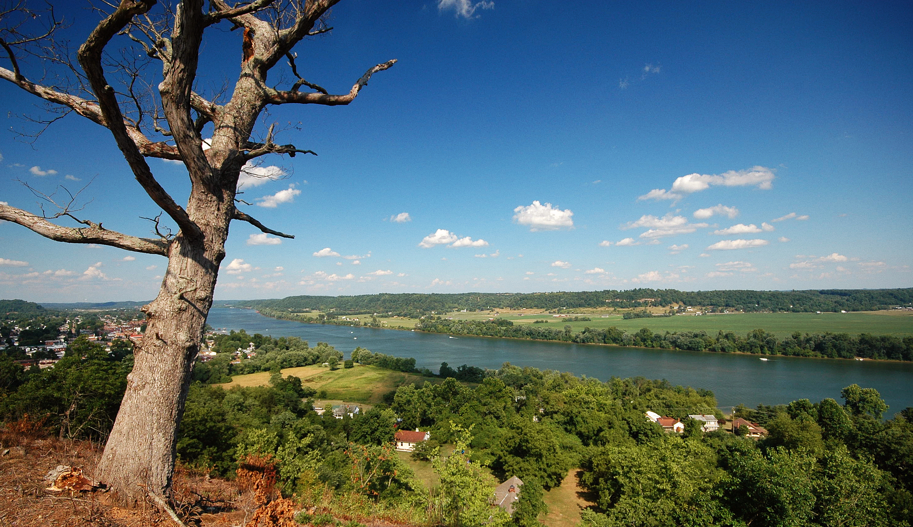
Ohio River from Tu-Endie-Wei State Park
Ohio River near Fortification Hill - Gallipolis Ohio
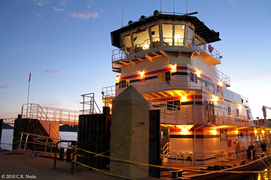
Mountain State
One of my favorite views in the world. It never gets old.
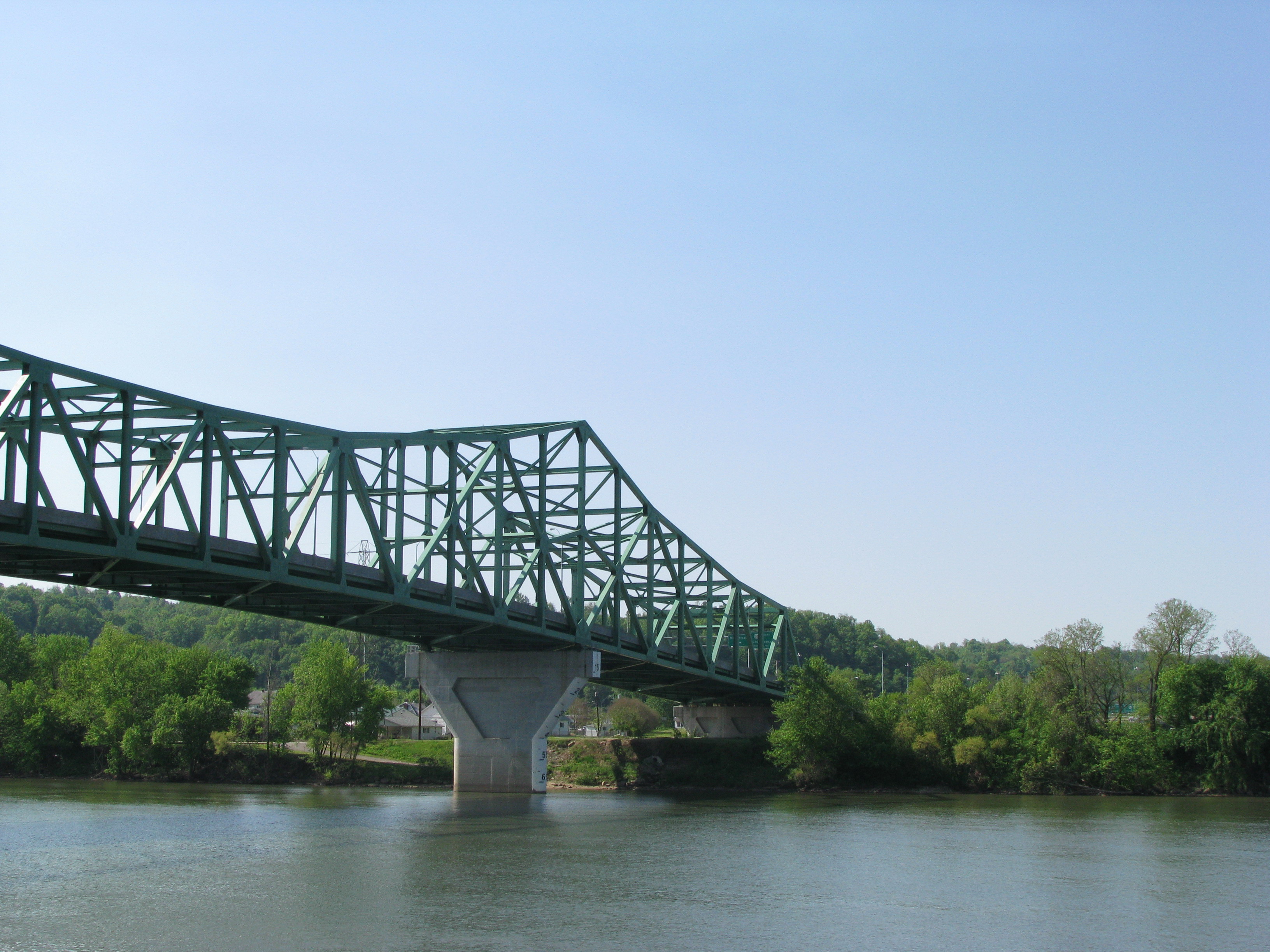
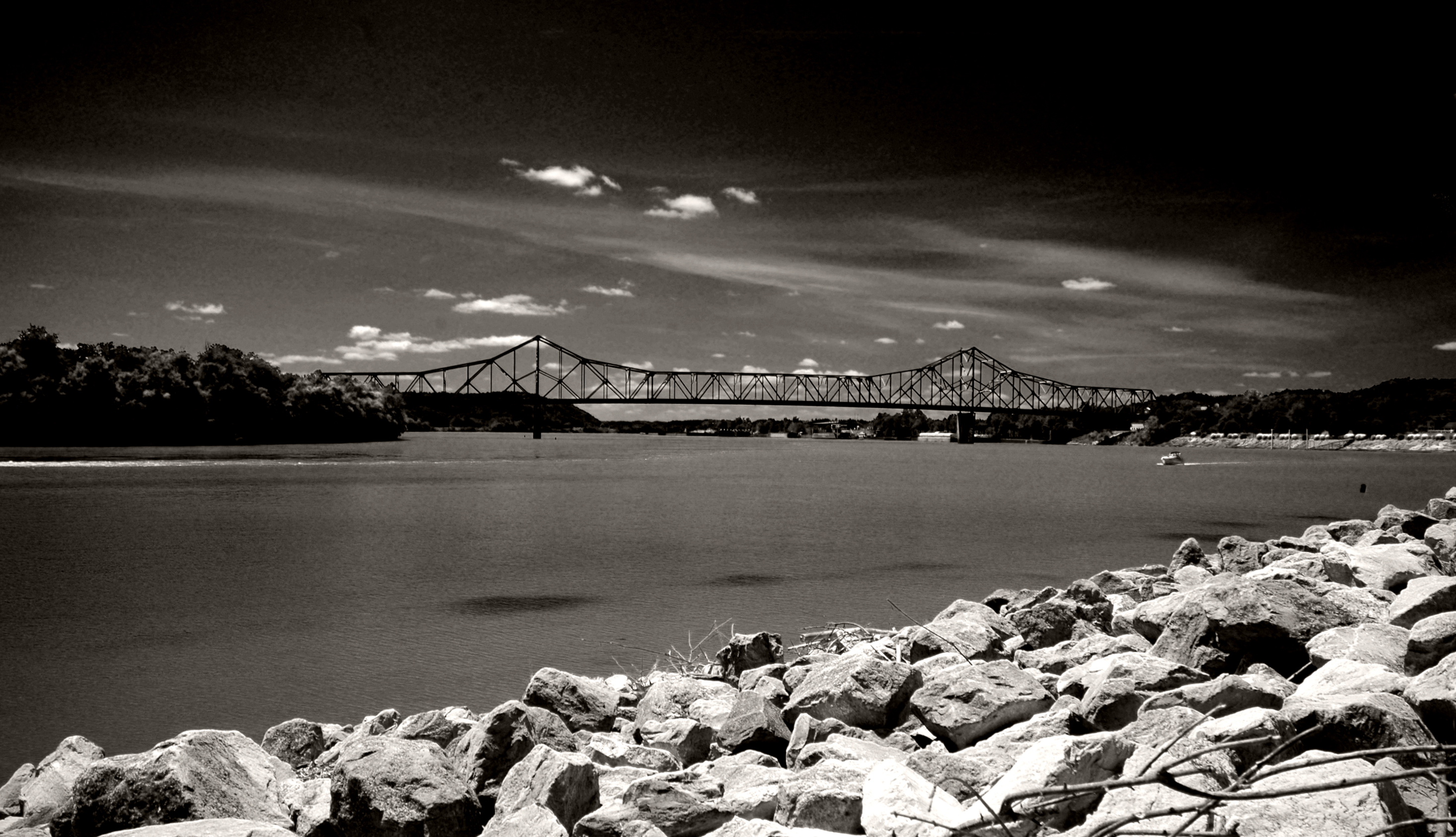
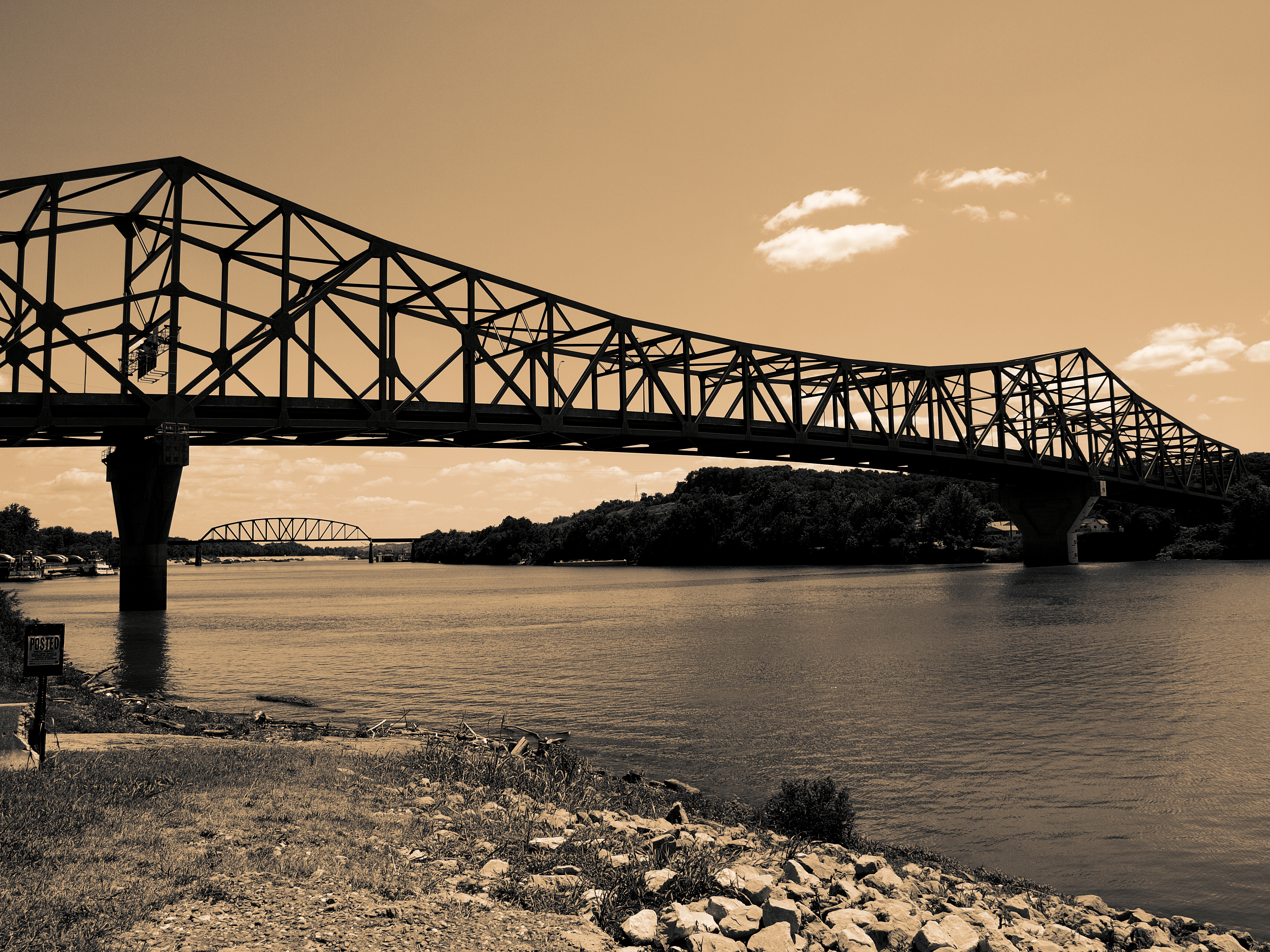
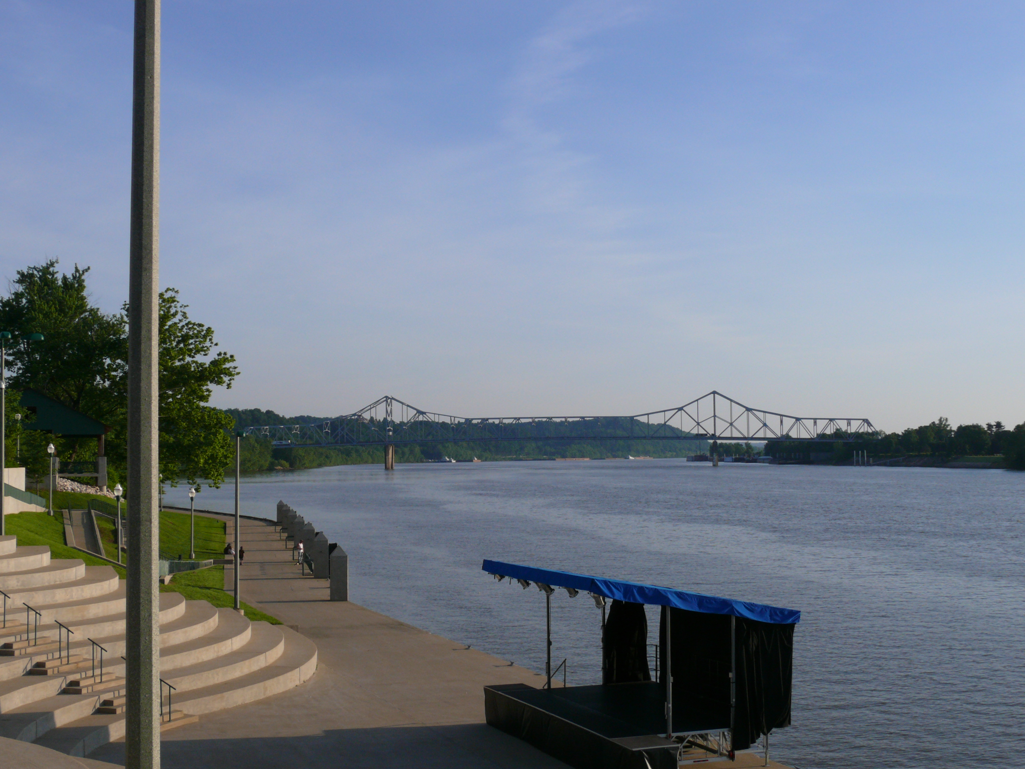
Point Pleasant's less famous bridge
100-2255
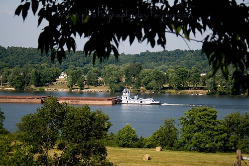
Ohio River
New wing at Point Pleasant HS
Basement Kitchen

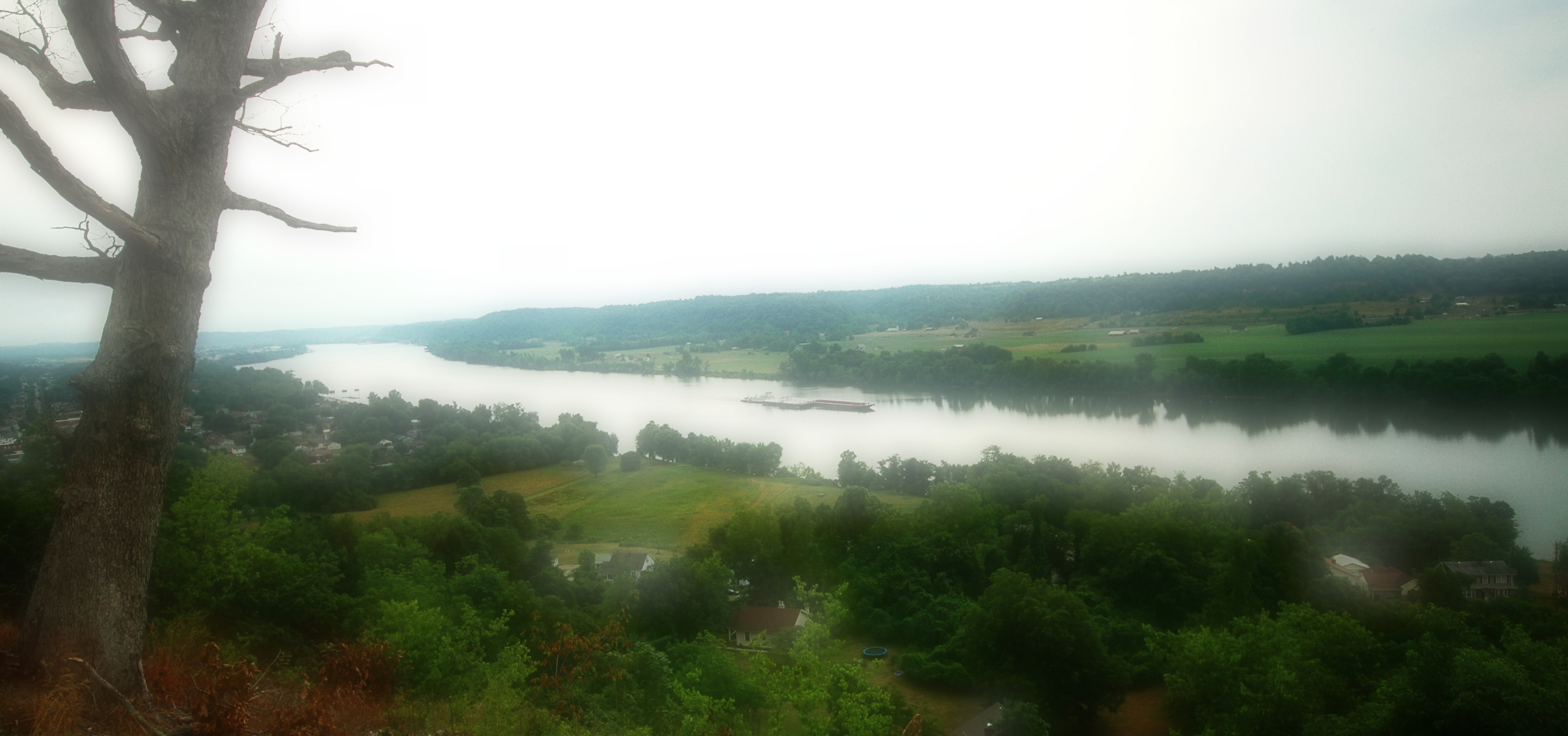
The best view of gallipolis. I love this place. Took Tyler up and he was amazed. And he enjoyed looking at the grave markers and seeing that Bob Evans has the best resting place over everyone, looking out over the river.

Fields and Mountain Ranges #westvirginia #countryroads #mountainstate #fields
Raccoon Creek County Park
Picture 1241

Mound Hill Cemetery 4
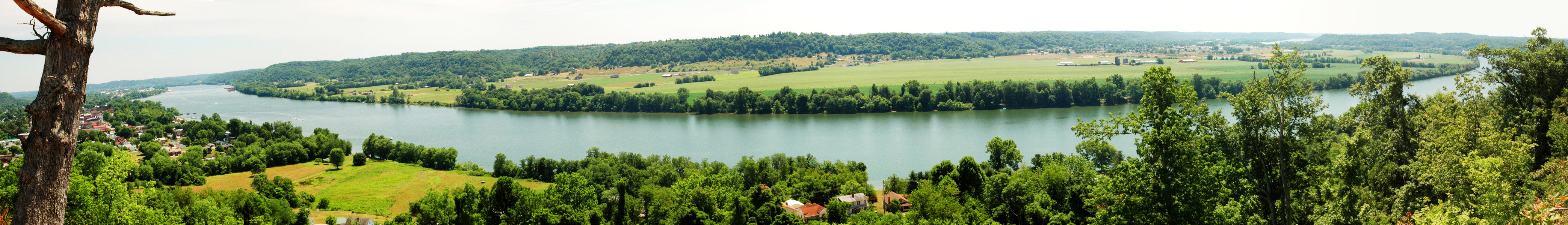
Point Pleasant, WV Panorama
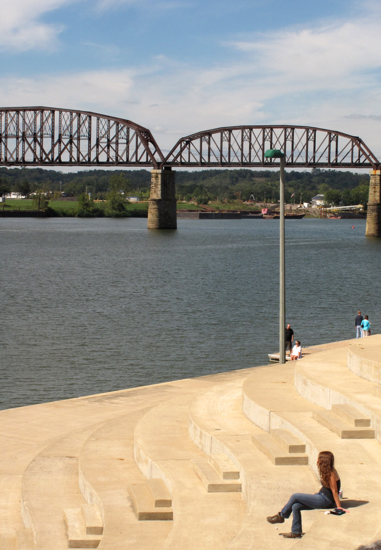
Kanawha River from Tu-Endie-Wei State Park
IMG_3936 copy
Ohio River IMG_2229
Fortification Hill - Gallipolis, Ohio

Mound Cemetery - Gallipolis, Ohio
Gallipolis-20130823-00271.jpg
Fortification Hill 3

Sunset on the Ohio River

Battle of Point Pleasant
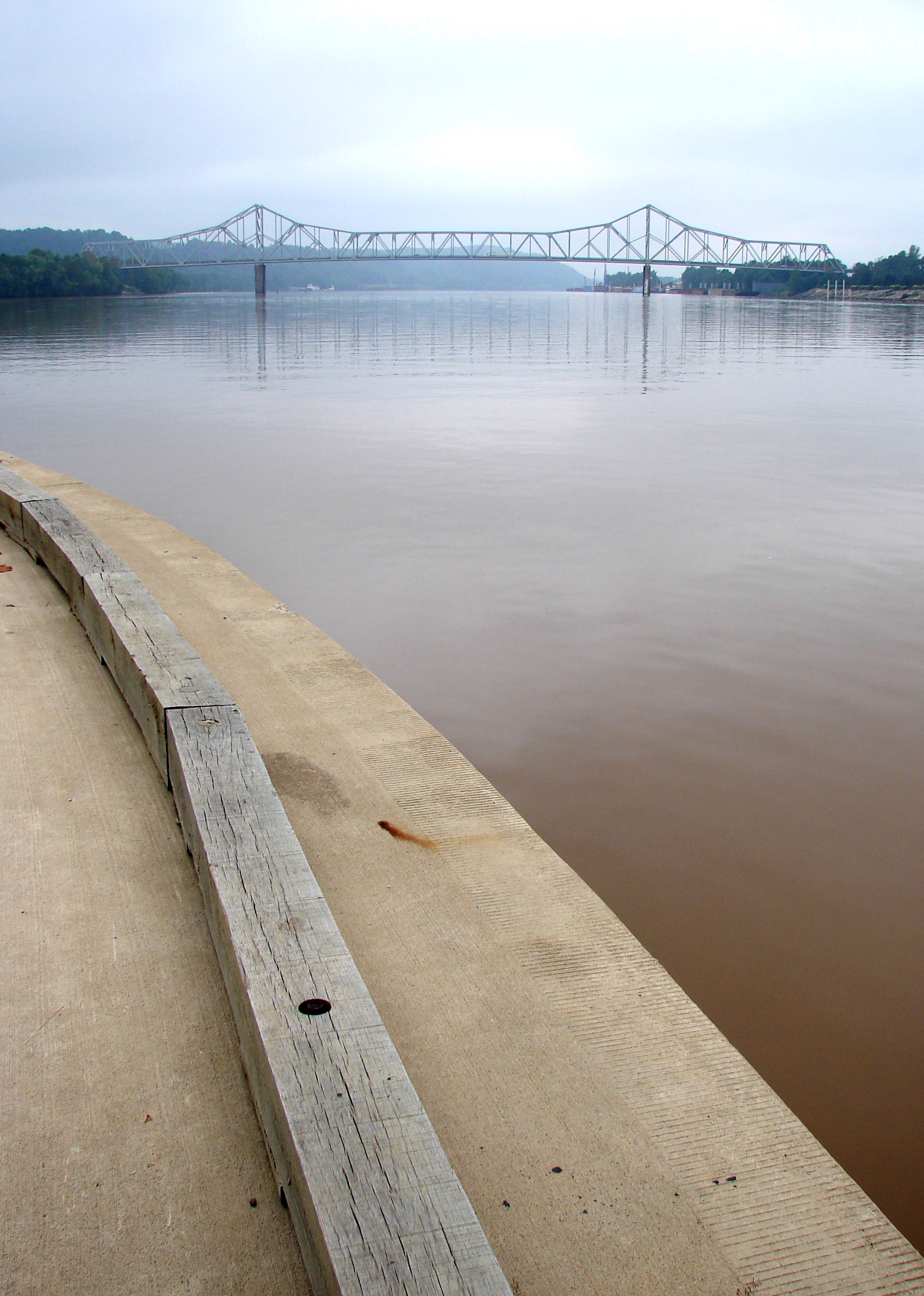
silver memorial bridge

Sunset on the Ohio River
Ohio River Point Pleasant, West Virginia
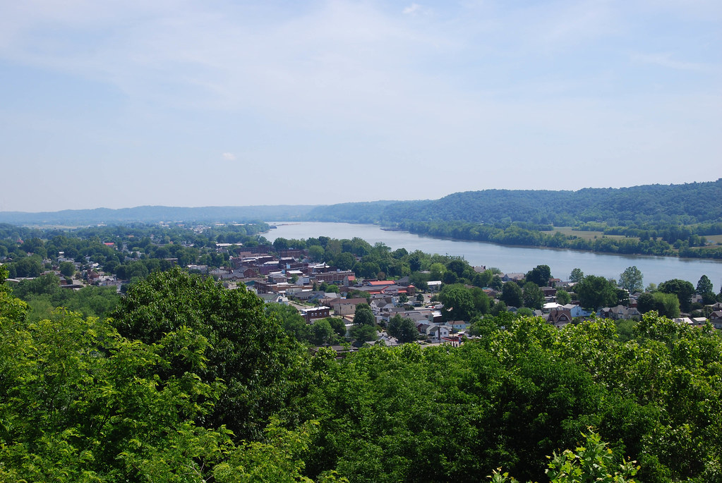
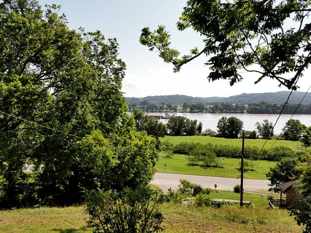
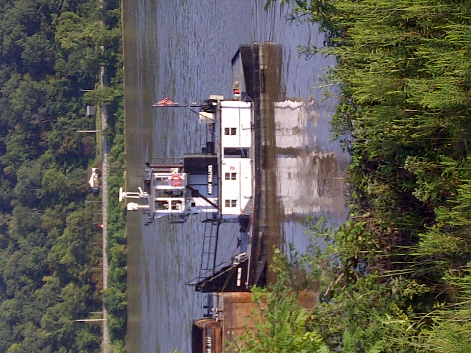
Ohio River at Gallipolis, OH
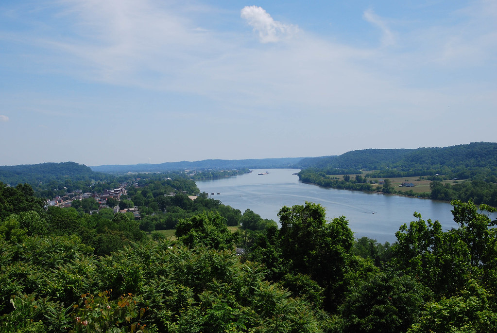
Ohio River at Gallipolis, OH
Topographic Map of OH-, Gallipolis, OH, USA
Find elevation by address:

Places near OH-, Gallipolis, OH, USA:
Kathy St, Gallipolis, OH, USA
OH-, Gallipolis, OH, USA
Green Township
Springfield Township
OH-, Gallipolis, OH, USA
Mound Hill Cemetery
Gallipolis
Gallipolis Township
Gallia County
Addison Township
Bidwell
Middleton Estates
Gallipolis Ferry
Eastern Ave, Gallipolis, OH, USA
County Rd 33, Bidwell, OH, USA
57 Henrys Rd, Gallipolis Ferry, WV, USA
675 Pioneer Trail Rd
Lukas St, Patriot, OH, USA
Patriot
51 Kelley Dr, Gallipolis, OH, USA
Recent Searches:
- Elevation of 6 Rue Jules Ferry, Beausoleil, France
- Elevation of Sattva Horizon, 4JC6+G9P, Vinayak Nagar, Kattigenahalli, Bengaluru, Karnataka, India
- Elevation of Great Brook Sports, Gold Star Hwy, Groton, CT, USA
- Elevation of 10 Mountain Laurels Dr, Nashua, NH, USA
- Elevation of 16 Gilboa Ln, Nashua, NH, USA
- Elevation of Laurel Rd, Townsend, TN, USA
- Elevation of 3 Nestling Wood Dr, Long Valley, NJ, USA
- Elevation of Ilungu, Tanzania
- Elevation of Yellow Springs Road, Yellow Springs Rd, Chester Springs, PA, USA
- Elevation of Rēzekne Municipality, Latvia