Elevation of Gallia County, OH, USA
Location: United States > Ohio >
Longitude: -82.345189
Latitude: 38.8619254
Elevation: 189m / 620feet
Barometric Pressure: 99KPa
Elevation Map:
Satellite Map:
Related Photos:

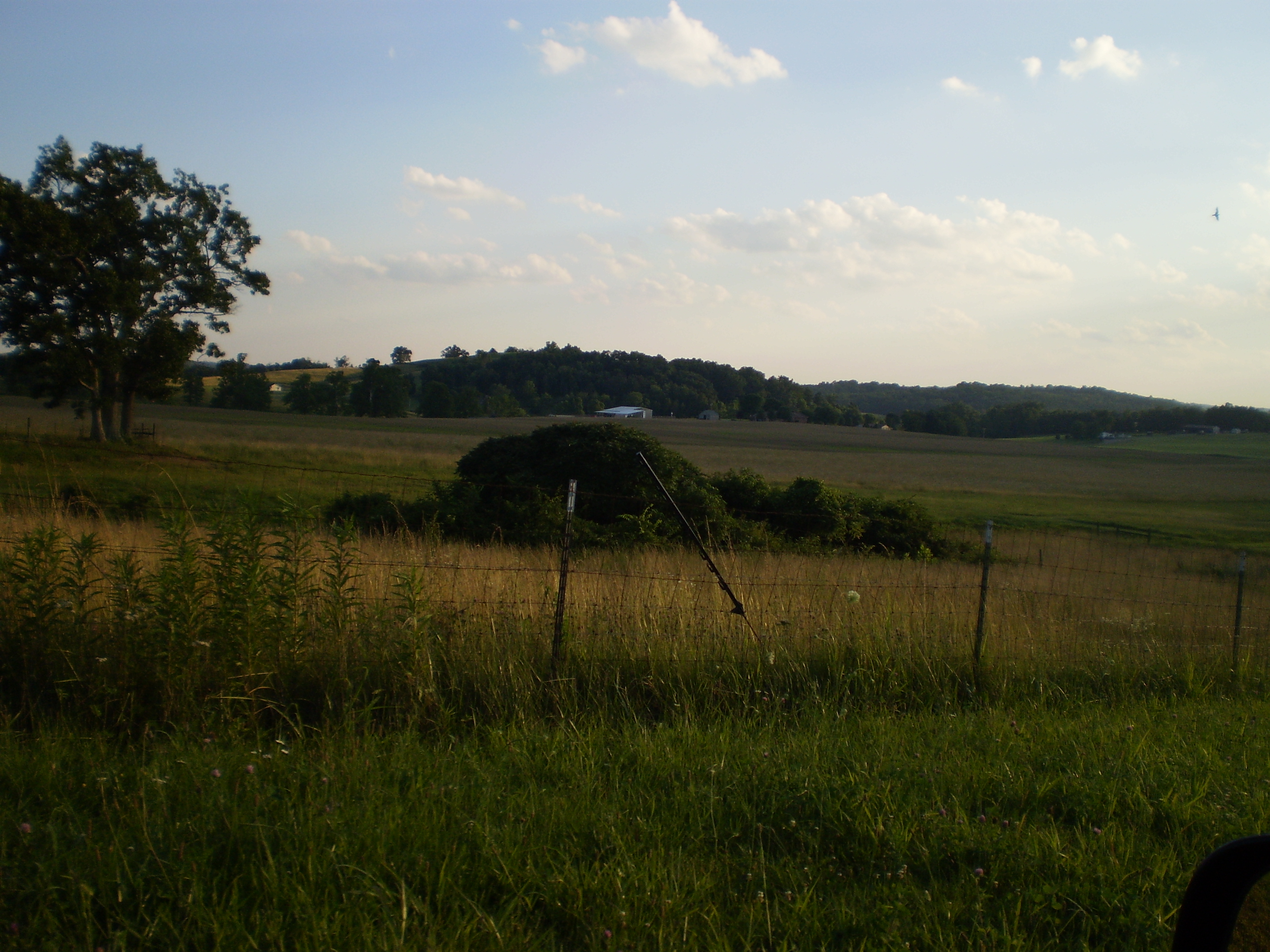
Ohio River near Fortification Hill - Gallipolis Ohio

Summer Storm - {Explored #47}
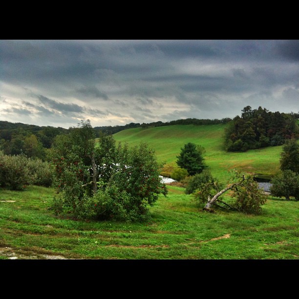
Apple orchards in autumn.

Raccoon Creek County Park

Mound Hill Cemetery 4
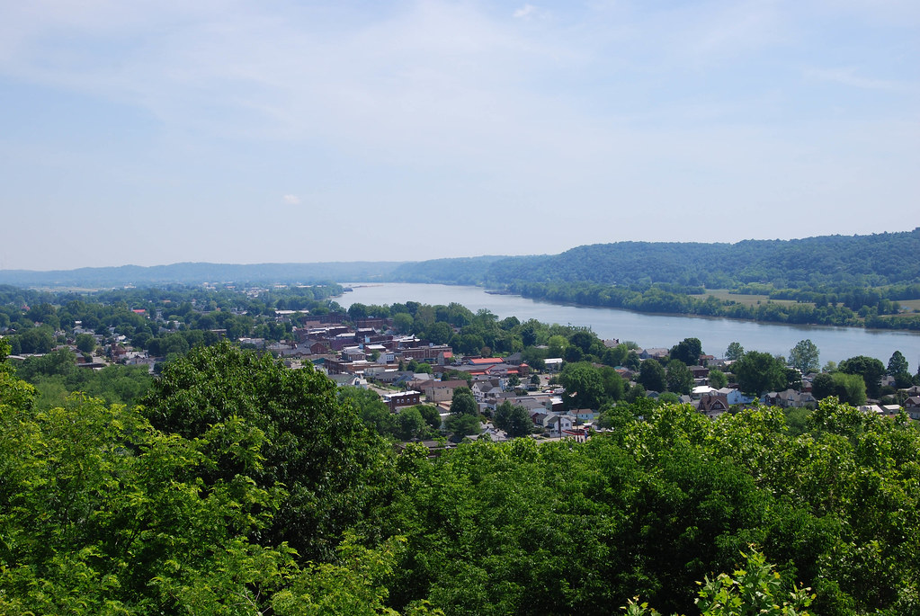
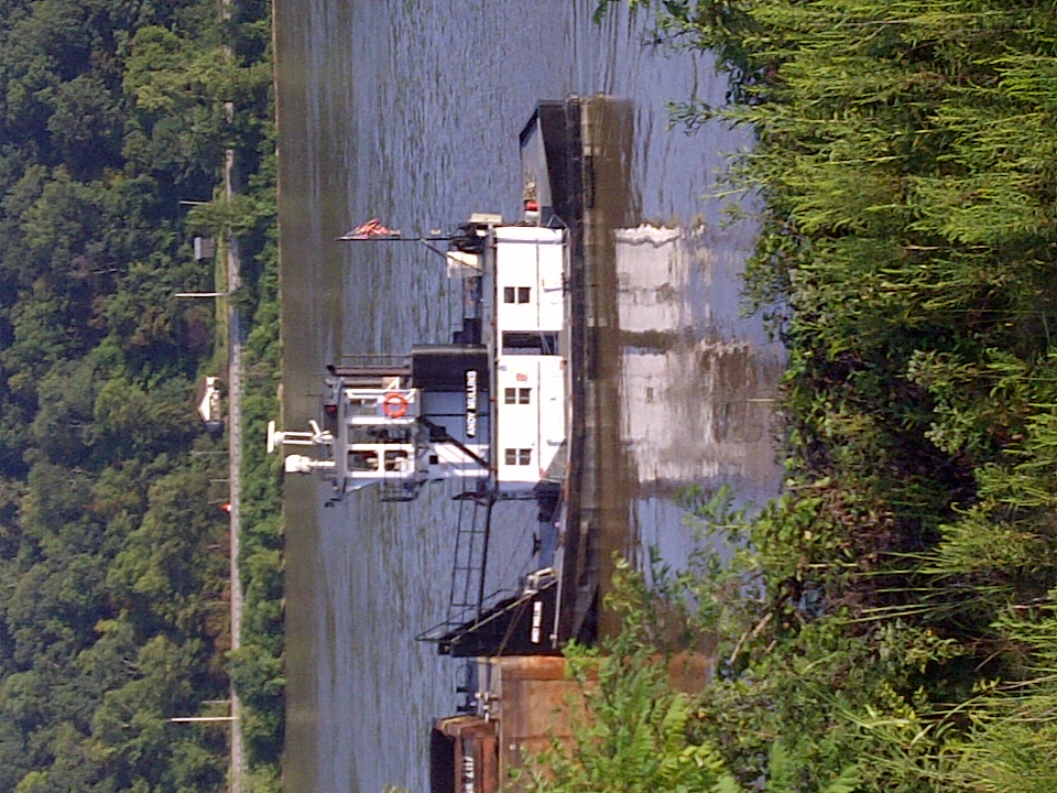
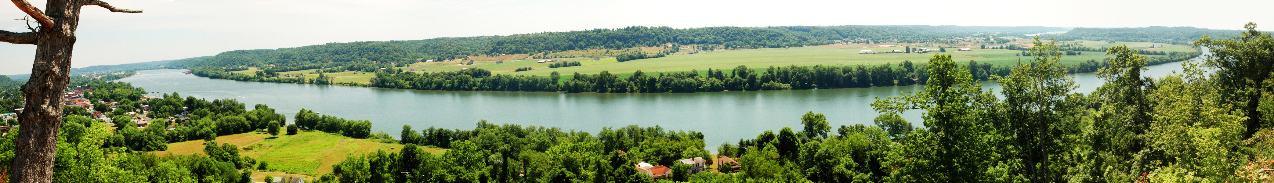
Ohio River at Gallipolis, OH

Created with #LensFlare. #landscape #skyscape #sunset #summertime #sunshine #sunset #instagram
Gallipolis-20130823-00271.jpg

Mound Cemetery - Gallipolis, Ohio
Fortification Hill - Gallipolis, Ohio
Rio Grande
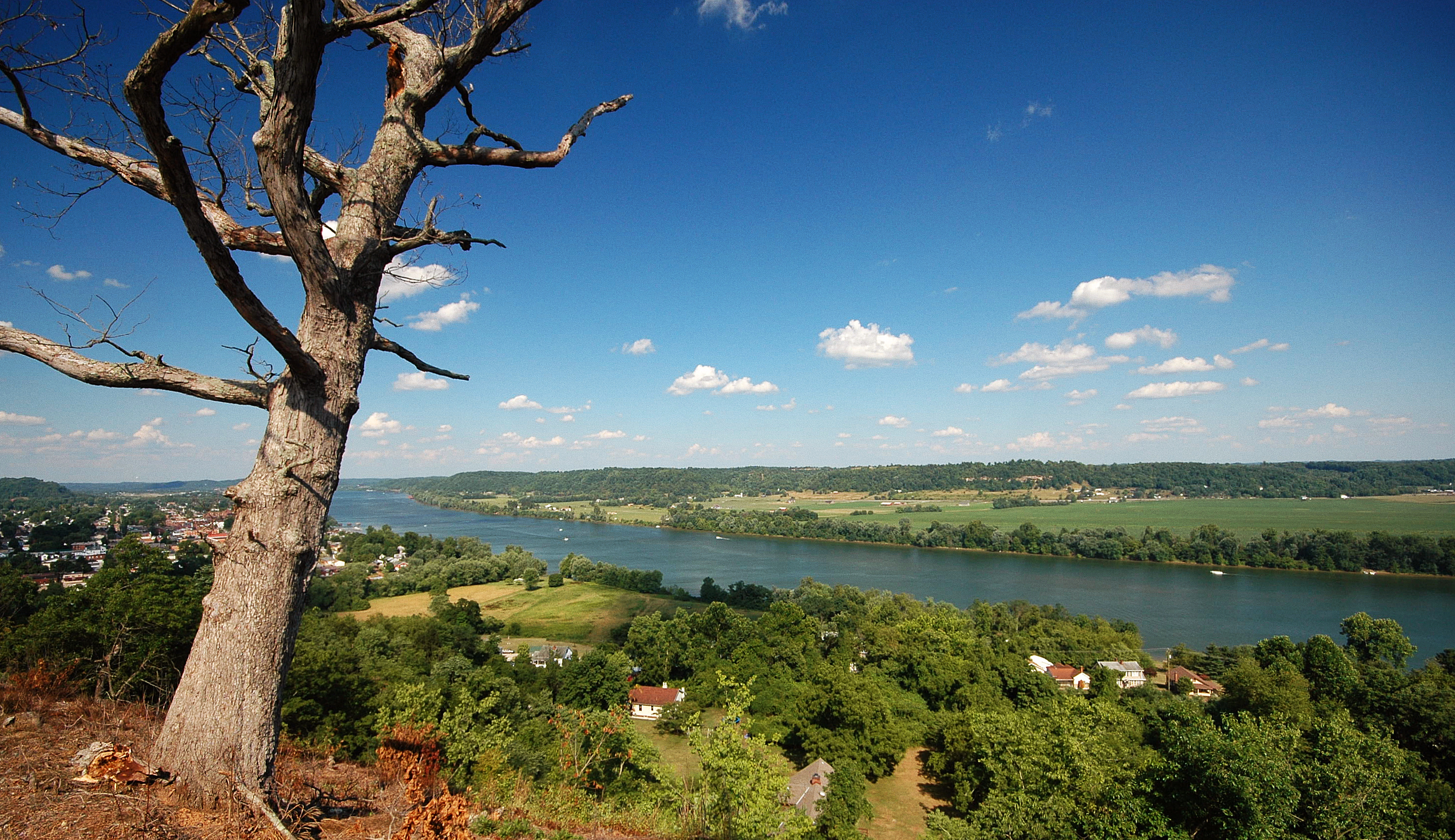
Fortification Hill 3

Gallipolis Ohio
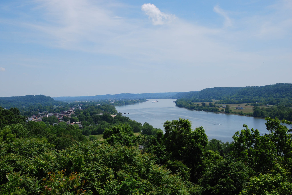
Ohio River at Gallipolis, OH

Bob Evans Farm Festival
Topographic Map of Gallia County, OH, USA
Find elevation by address:

Places in Gallia County, OH, USA:
Gallipolis Township
Guyan Township
Springfield Township
Addison Township
Cheshire Township
Green Township
Perry Township
Huntington Township
Ohio Township
Places near Gallia County, OH, USA:
OH-, Gallipolis, OH, USA
675 Pioneer Trail Rd
Springfield Township
Bidwell
OH-, Gallipolis, OH, USA
Perry Township
836 Mt Tabor Rd
Green Township
County Rd 33, Bidwell, OH, USA
Lukas St, Patriot, OH, USA
Patriot
Kathy St, Gallipolis, OH, USA
Huntington Township
Vinton
1472 German Ridge Rd
Cadmus
OH-, Gallipolis, OH, USA
Mound Hill Cemetery
Gallipolis Township
Gallipolis
Recent Searches:
- Elevation of Corso Fratelli Cairoli, 35, Macerata MC, Italy
- Elevation of Tallevast Rd, Sarasota, FL, USA
- Elevation of 4th St E, Sonoma, CA, USA
- Elevation of Black Hollow Rd, Pennsdale, PA, USA
- Elevation of Oakland Ave, Williamsport, PA, USA
- Elevation of Pedrógão Grande, Portugal
- Elevation of Klee Dr, Martinsburg, WV, USA
- Elevation of Via Roma, Pieranica CR, Italy
- Elevation of Tavkvetili Mountain, Georgia
- Elevation of Hartfords Bluff Cir, Mt Pleasant, SC, USA