Elevation of Springfield, NB, Canada
Location: Canada > New Brunswick > Kings County >
Longitude: -65.810425
Latitude: 45.7136823
Elevation: 188m / 617feet
Barometric Pressure: 99KPa
Elevation Map:
Satellite Map:
Related Photos:

Frozen waterfall.

Frozen waterfall
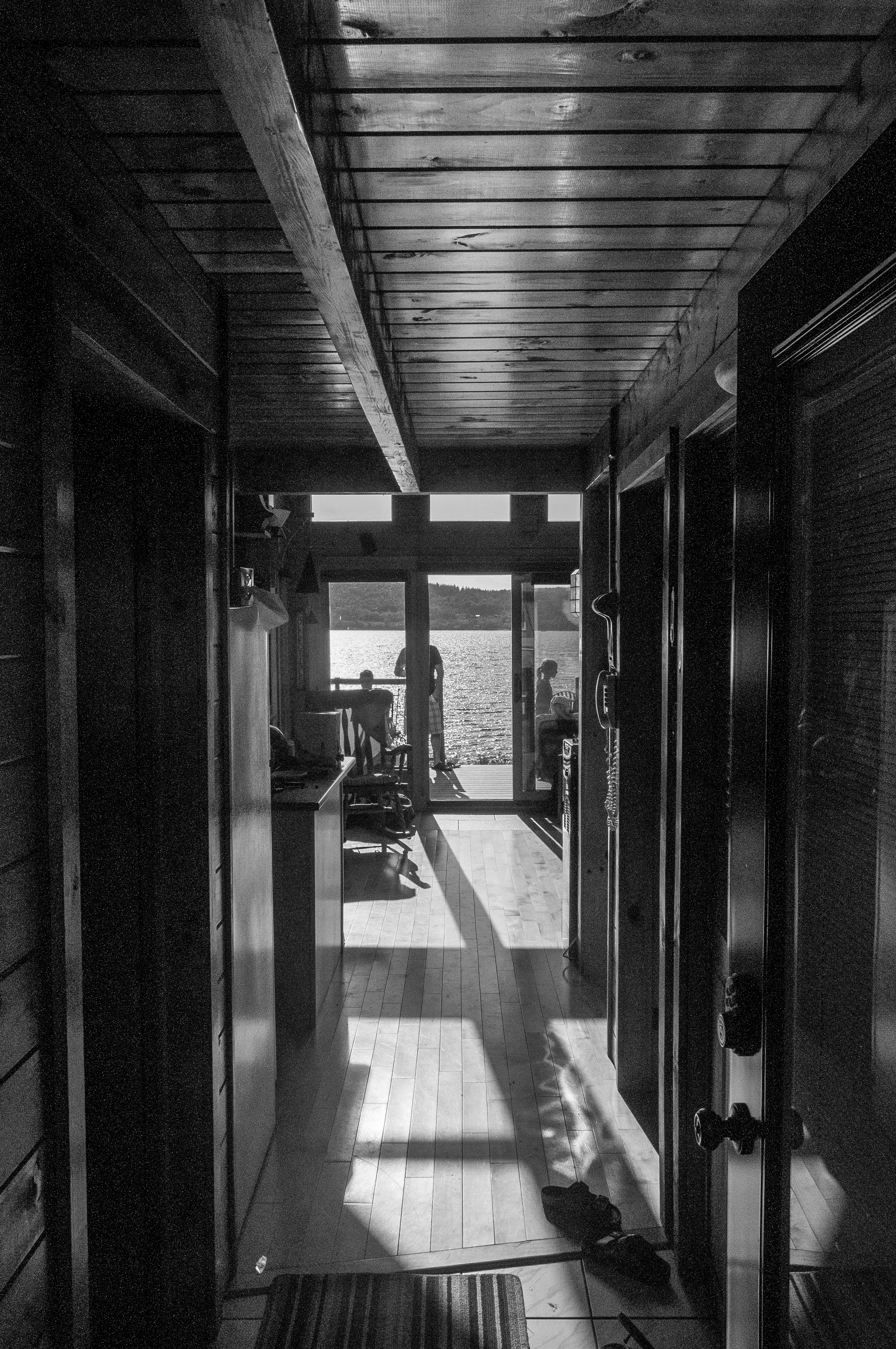
View through the house
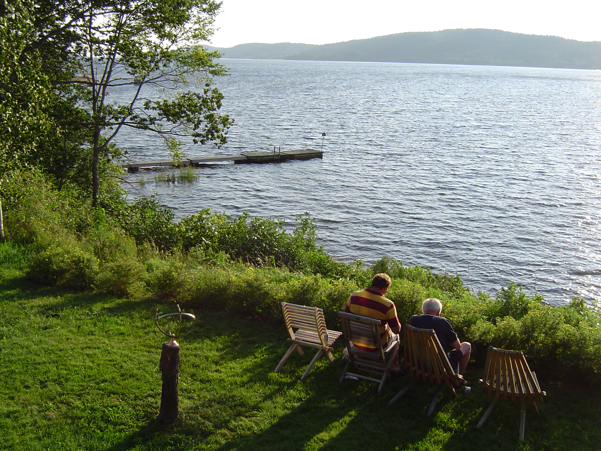
The view from John and Betty's cottage

"forever"
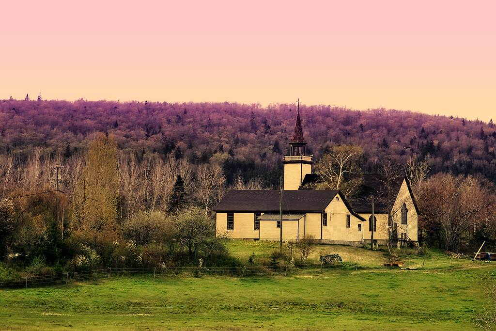
unknown church

"the 1st wave"
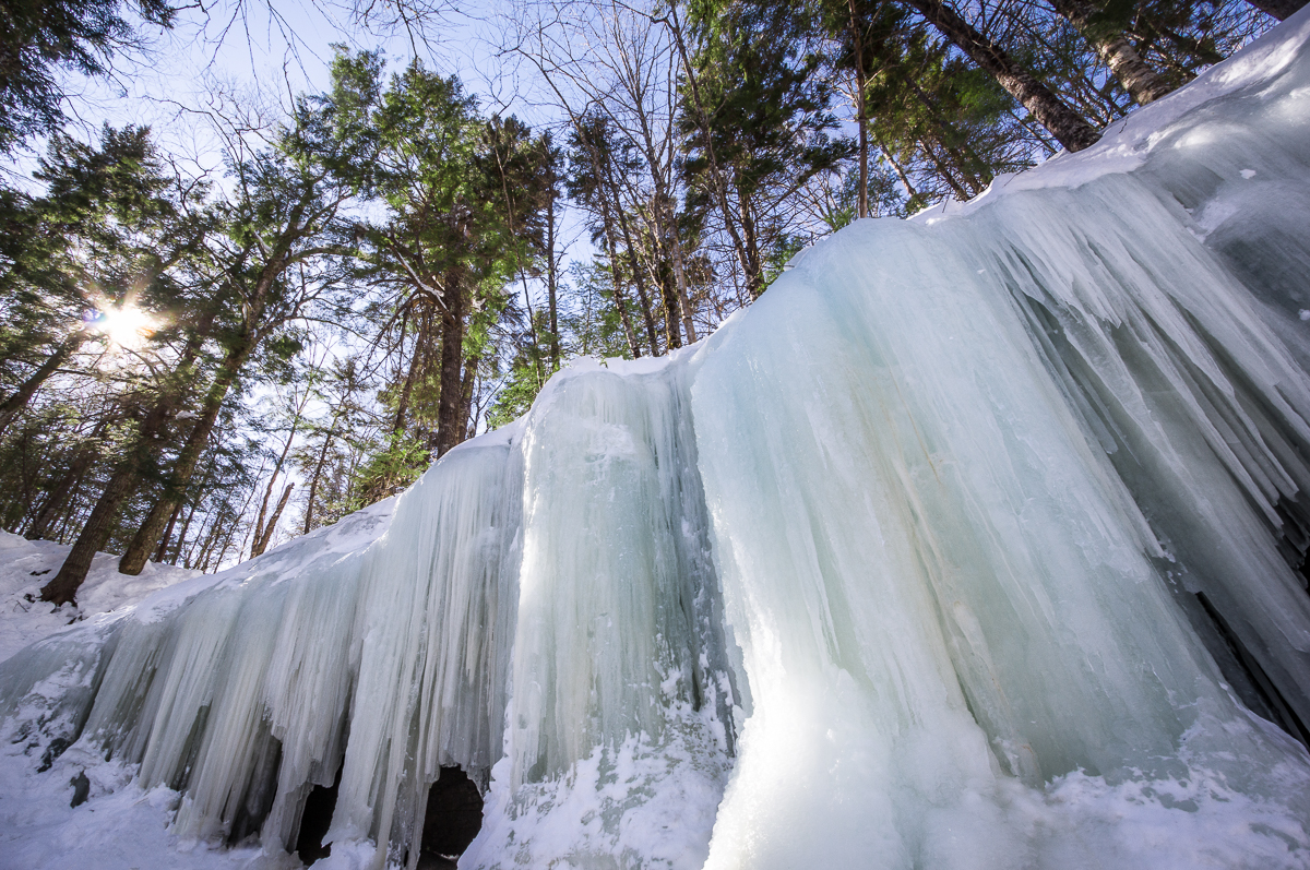
Ice Wall
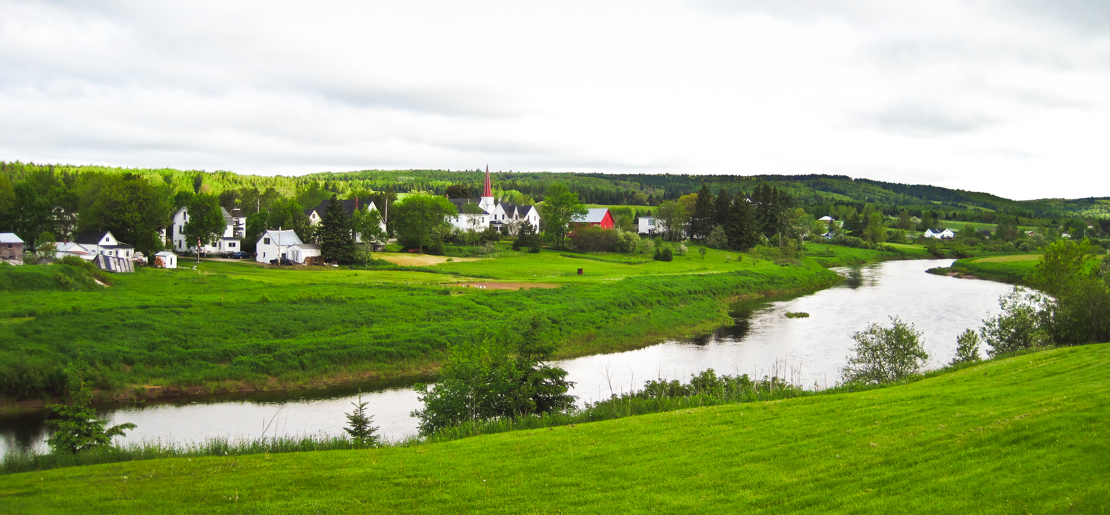
Norton, New Brunswick
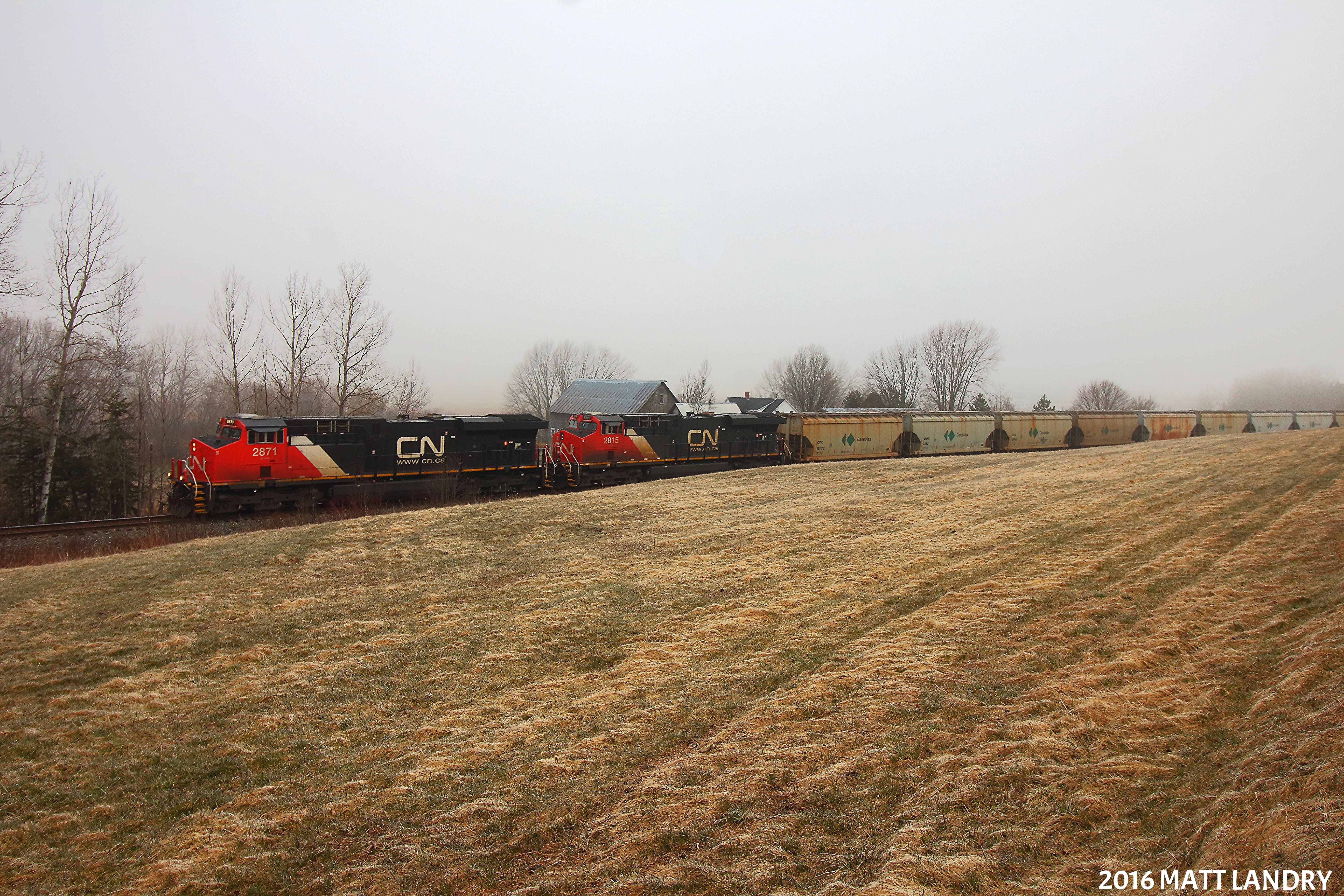
Along The Foggy Background
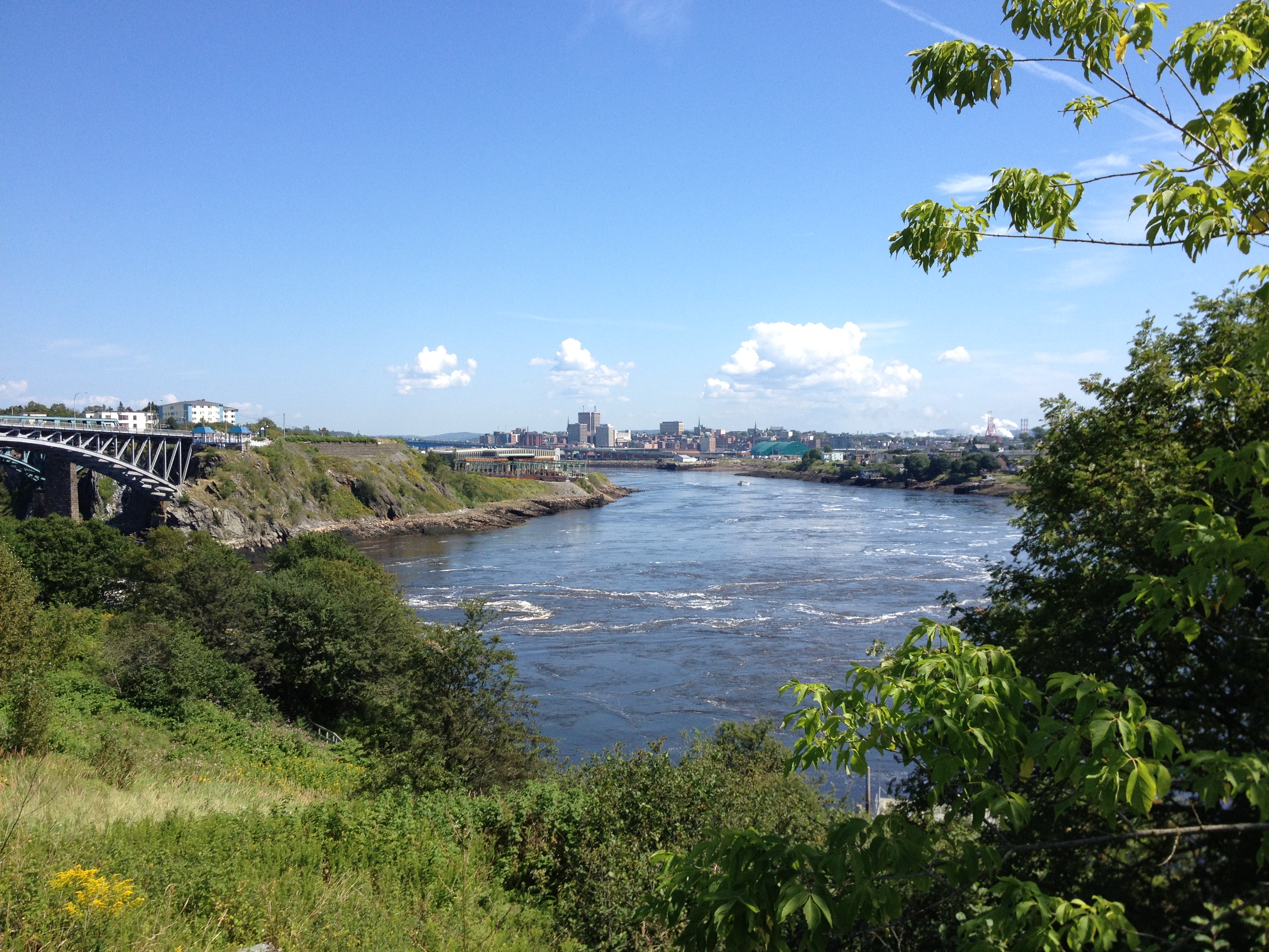
Saint John.
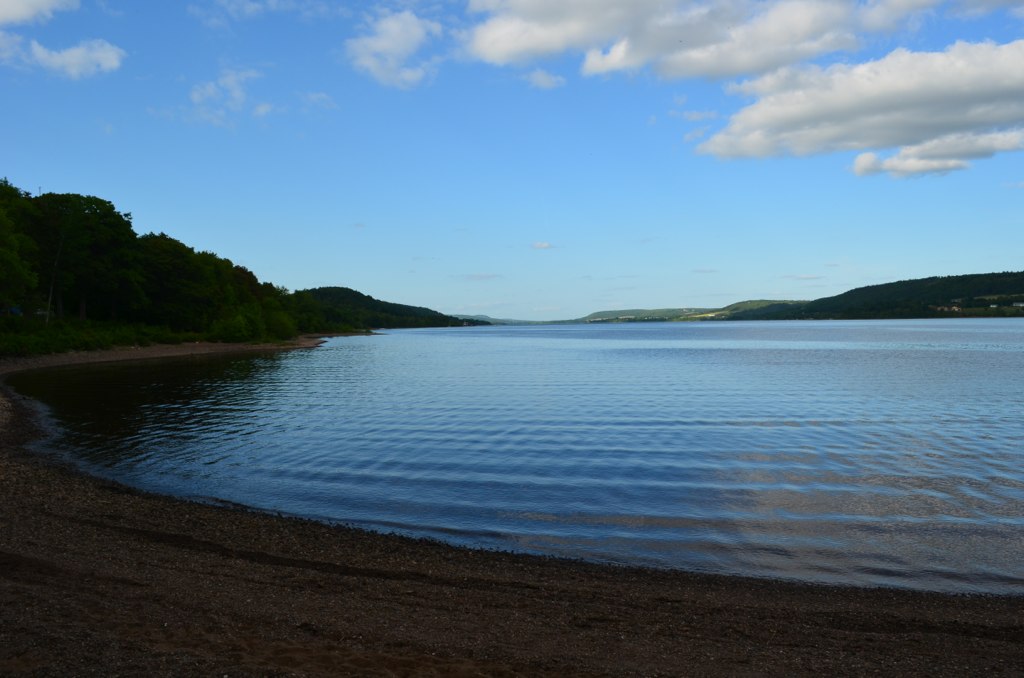
Belleisle Bay
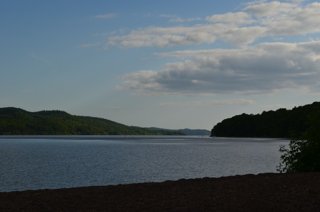
Belleisle Bay, looking toward Saint John
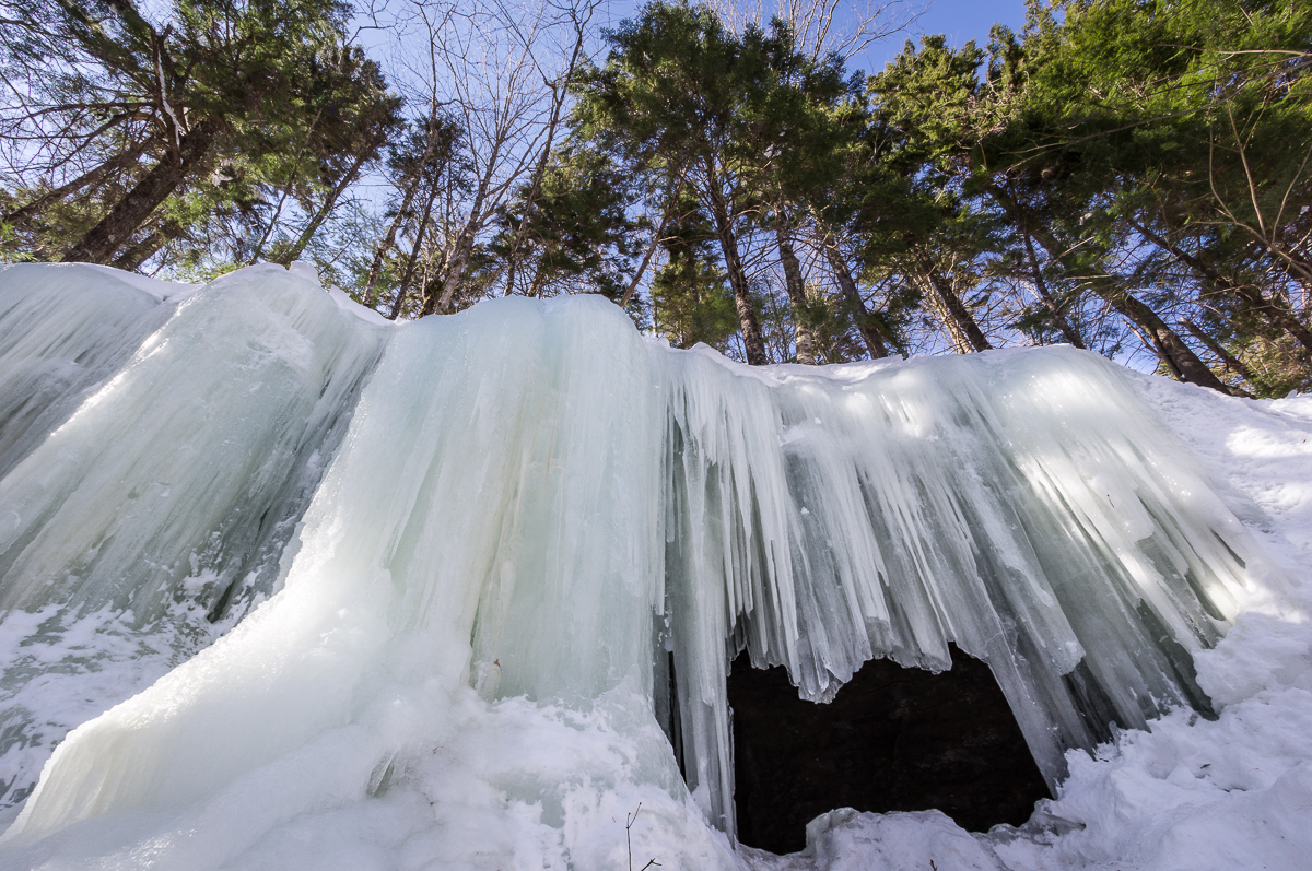
Midland Ice Cave

House on the hill
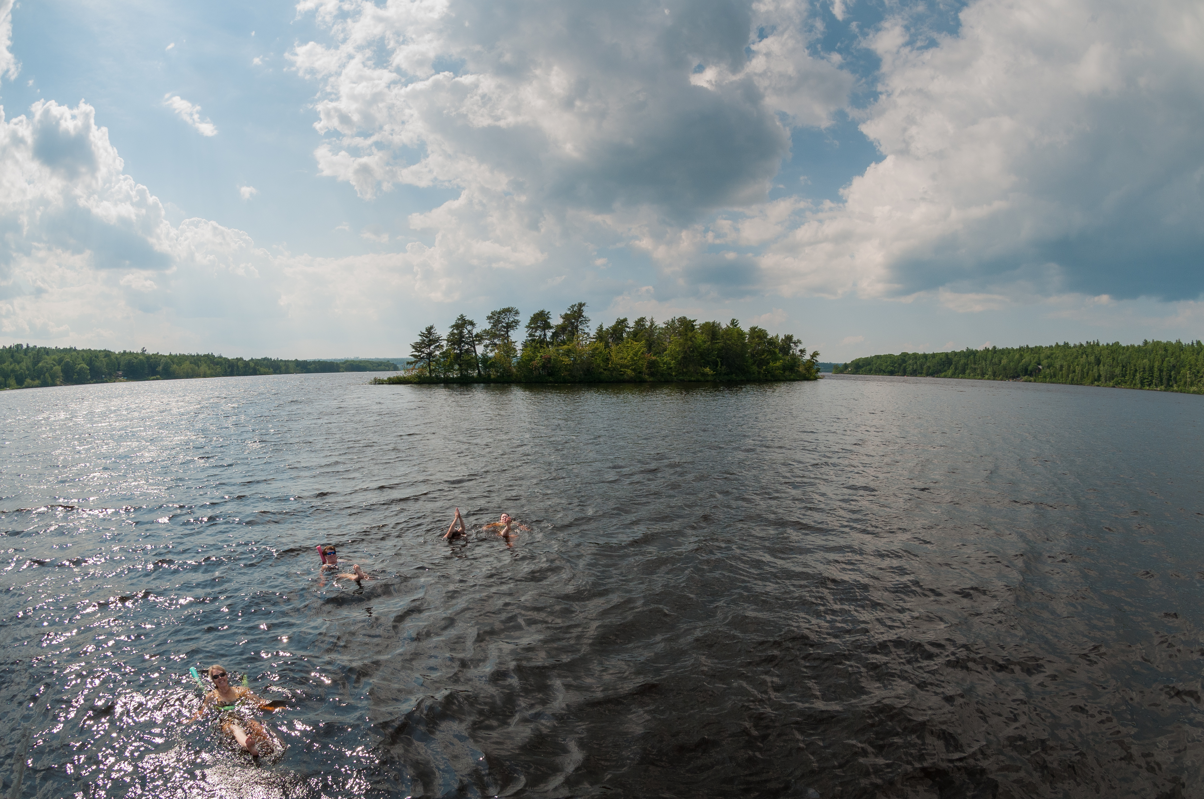
Synchronized Swimming - Home Edition
Topographic Map of Springfield, NB, Canada
Find elevation by address:

Places in Springfield, NB, Canada:
Places near Springfield, NB, Canada:
NB-, Belleisle Creek, NB E5P 1X7, Canada
38 Gilchrist Rd
Springfield
39 Gilchrist Rd
39 Gilchrist Rd
36 Gilchrist Rd
Stewarton
Springfield Trees
E5t 1j5
34 Gilchrist Rd
1826 Nb-124
Midland
29 Gilchrist Rd
NB-, Belleisle Creek, NB E5P 1H5, Canada
Belleisle Creek
73 Ravine Rd, Norton, NB E5T 2C5, Canada
Harmer Road
74 Ravine Rd
74 Ravine Rd
74 Ravine Rd
Recent Searches:
- Elevation of Corso Fratelli Cairoli, 35, Macerata MC, Italy
- Elevation of Tallevast Rd, Sarasota, FL, USA
- Elevation of 4th St E, Sonoma, CA, USA
- Elevation of Black Hollow Rd, Pennsdale, PA, USA
- Elevation of Oakland Ave, Williamsport, PA, USA
- Elevation of Pedrógão Grande, Portugal
- Elevation of Klee Dr, Martinsburg, WV, USA
- Elevation of Via Roma, Pieranica CR, Italy
- Elevation of Tavkvetili Mountain, Georgia
- Elevation of Hartfords Bluff Cir, Mt Pleasant, SC, USA