Elevation of NB-, Belleisle Creek, NB E5P 1H5, Canada
Location: Canada > New Brunswick > Kings County > Springfield > Belleisle Creek >
Longitude: -65.752248
Latitude: 45.7172409
Elevation: 50m / 164feet
Barometric Pressure: 101KPa
Elevation Map:
Satellite Map:
Related Photos:

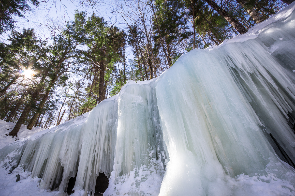
Frozen waterfall.

Frozen waterfall

"forever"
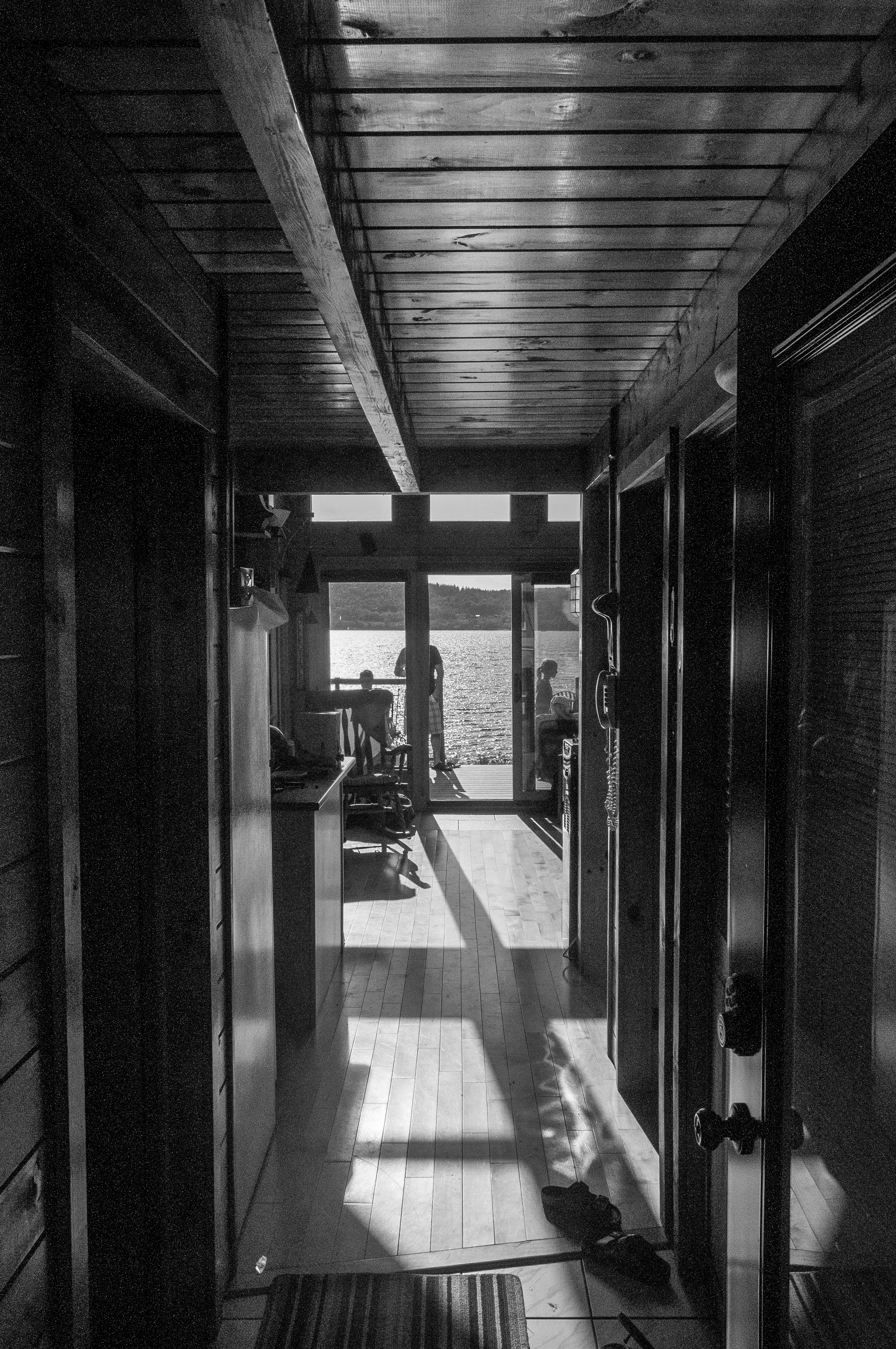
View through the house
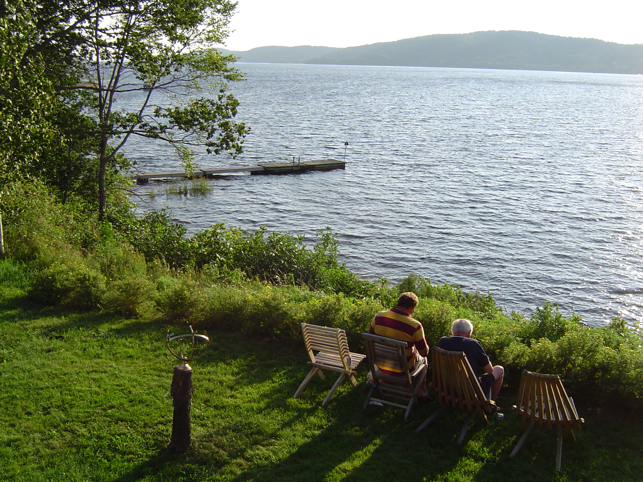
The view from John and Betty's cottage
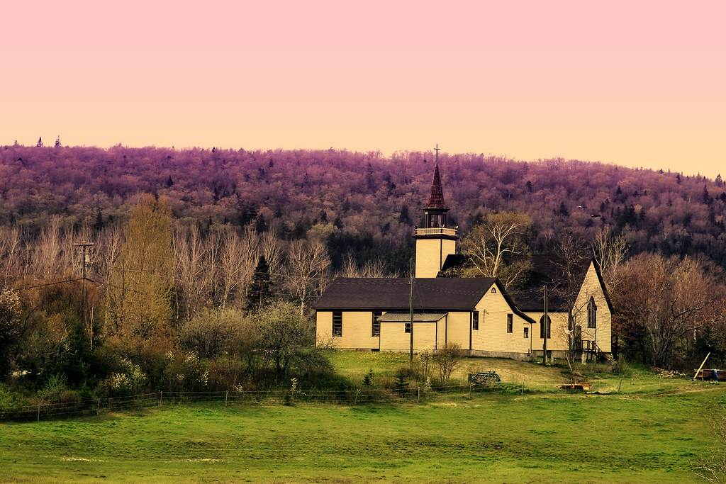
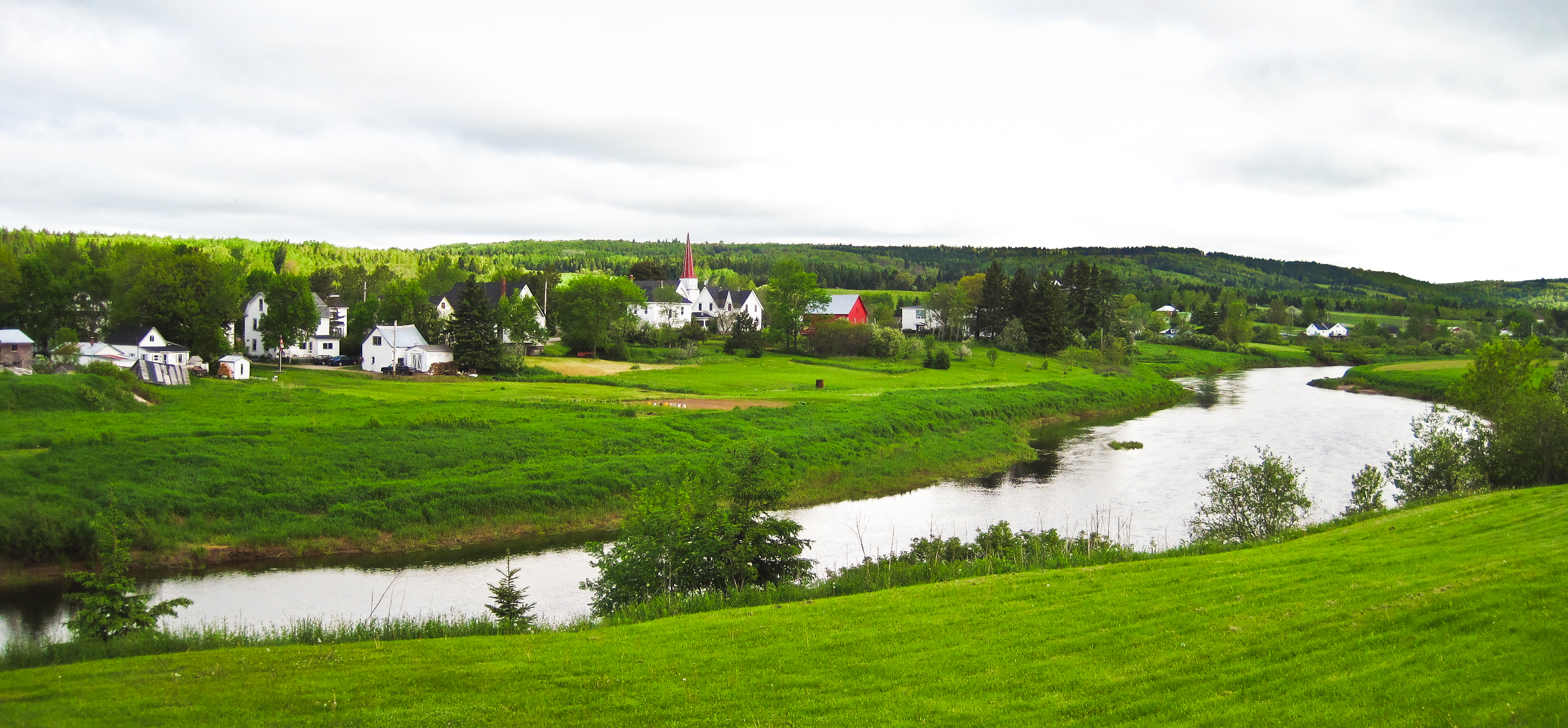
unknown church

"the 1st wave"

Ant's Eye View
Ice Wall
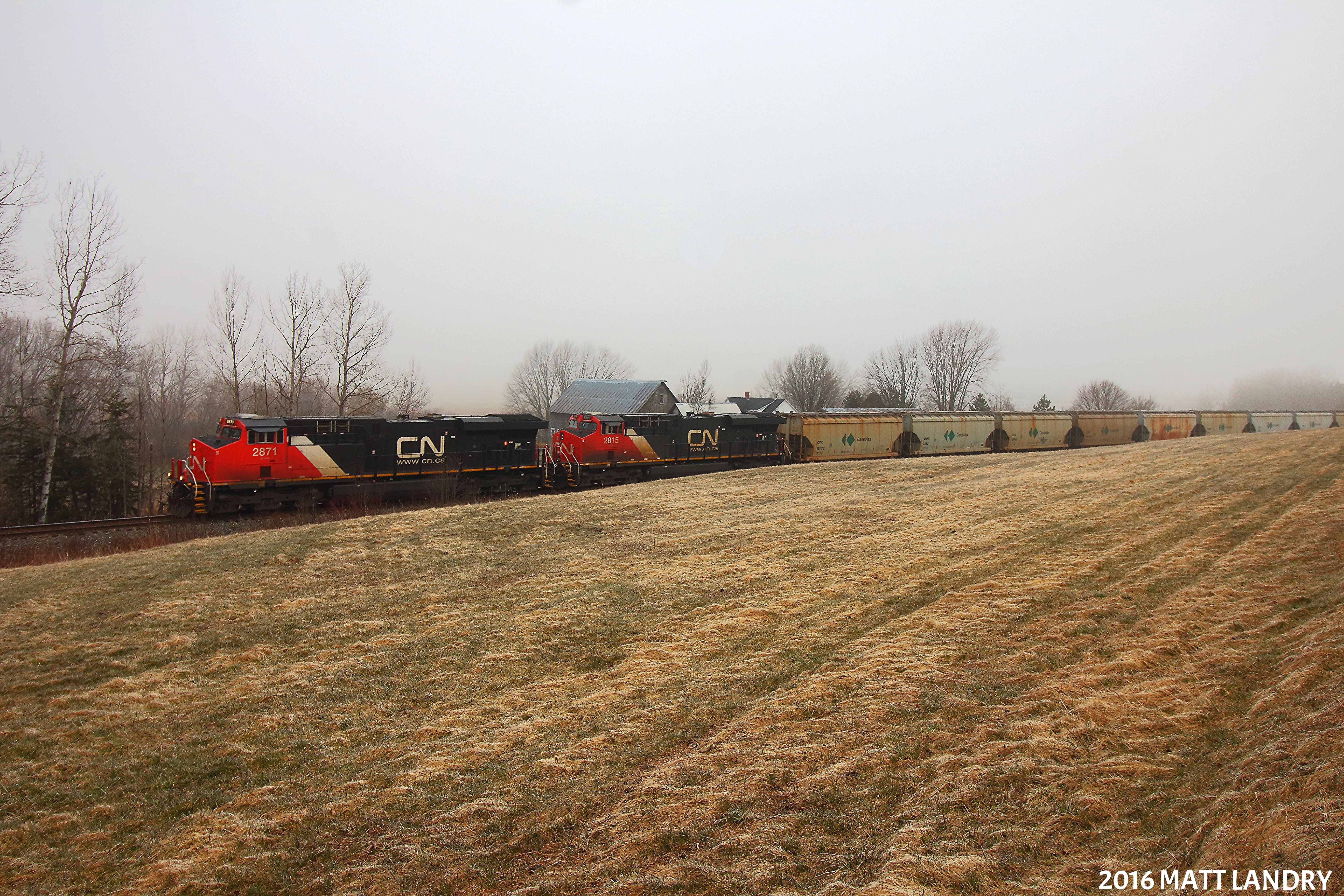
Along The Foggy Background

House on the hill
Norton, New Brunswick
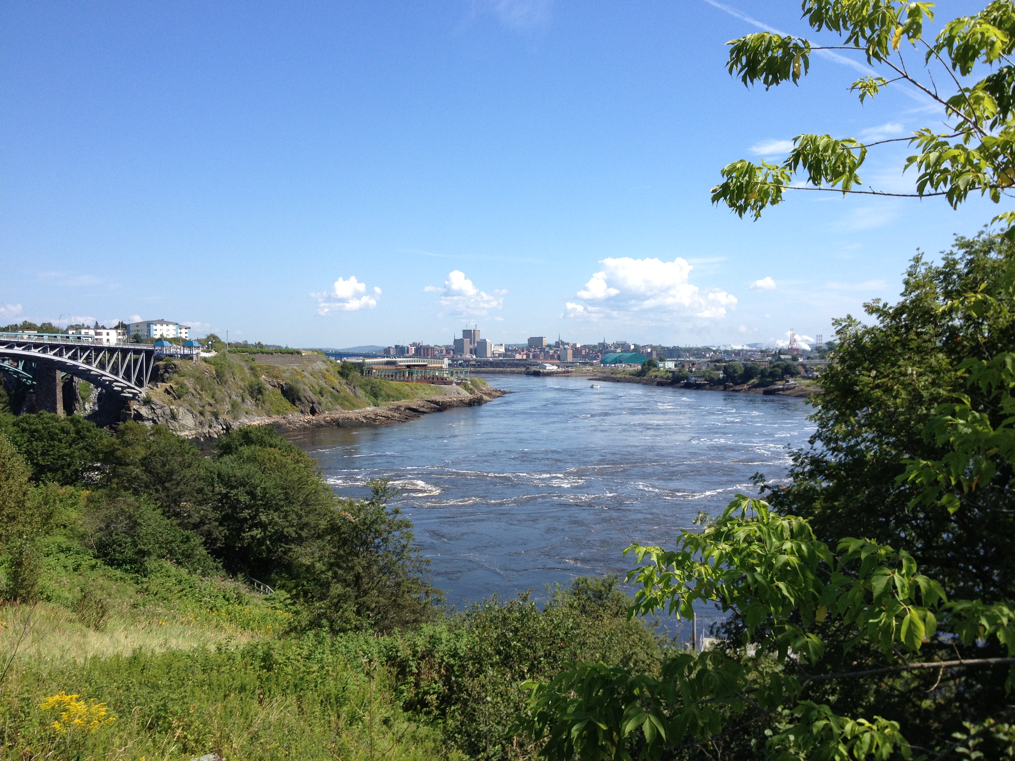
Saint John.
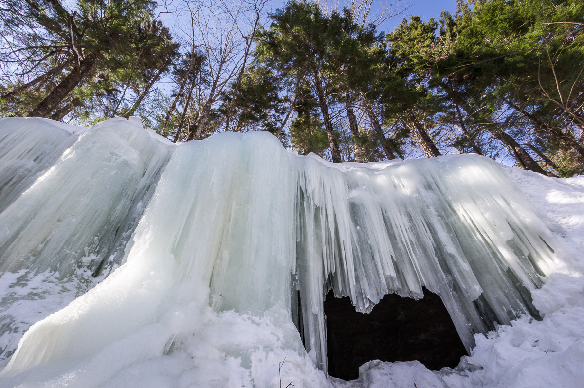
Midland Ice Cave
Topographic Map of NB-, Belleisle Creek, NB E5P 1H5, Canada
Find elevation by address:

Places near NB-, Belleisle Creek, NB E5P 1H5, Canada:
Belleisle Creek
Harmer Road
NB-, Belleisle Creek, NB E5P 1X7, Canada
NB-, Belleisle Creek, NB E5P 1G8, Canada
29 Gilchrist Rd
155 Parleeville Rd
34 Gilchrist Rd
New Brunswick 870
880 Nb-870
36 Gilchrist Rd
274 Parleeville Rd
Springfield
38 Gilchrist Rd
Mercer Settlement Rd, Norton, NB E5T 1V7, Canada
39 Gilchrist Rd
39 Gilchrist Rd
Midland
Springfield
Parleeville Rd, Parleeville, NB E5P 3X8, Canada
Springfield Trees
Recent Searches:
- Elevation of Općina Šodolovci, Croatia
- Elevation of Šodolovci, Croatia
- Elevation of Old Clairton Rd, Jefferson Hills, PA, USA
- Elevation of st Ave SE, Lisbon, ND, USA
- Elevation of Steamboat Island Road Northwest, Olympia, WA, USA
- Elevation of Kootenai Trail Rd, Bonners Ferry, ID, USA
- Elevation of Hickory Blvd, Bonita Springs, FL, USA
- Elevation of Lalagbene, Bayelsa, Nigeria
- Elevation of Ogbosuware Health Centre, 2WWJ+4PJ, Lalagbene, Bayelsa, Nigeria
- Elevation of Duckhorn Ct, Las Vegas, NV, USA