Elevation of New Brunswick, NB-, Belleisle Creek, NB, Canada
Location: Canada > New Brunswick > Kings County > Springfield > Belleisle Creek >
Longitude: -65.714906
Latitude: 45.738404
Elevation: 70m / 230feet
Barometric Pressure: 100KPa
Elevation Map:
Satellite Map:
Related Photos:

Frozen waterfall.

Frozen waterfall
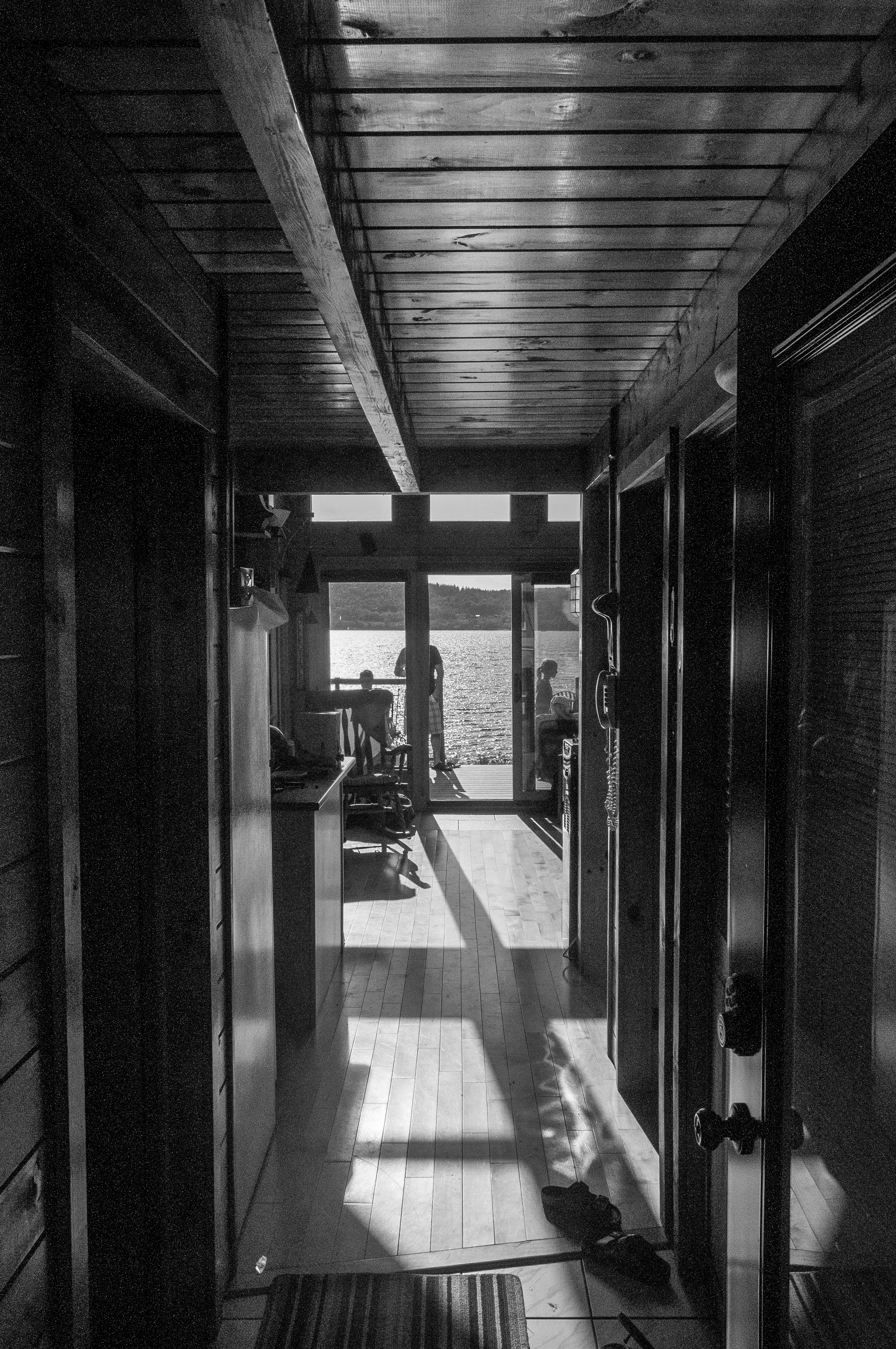
View through the house
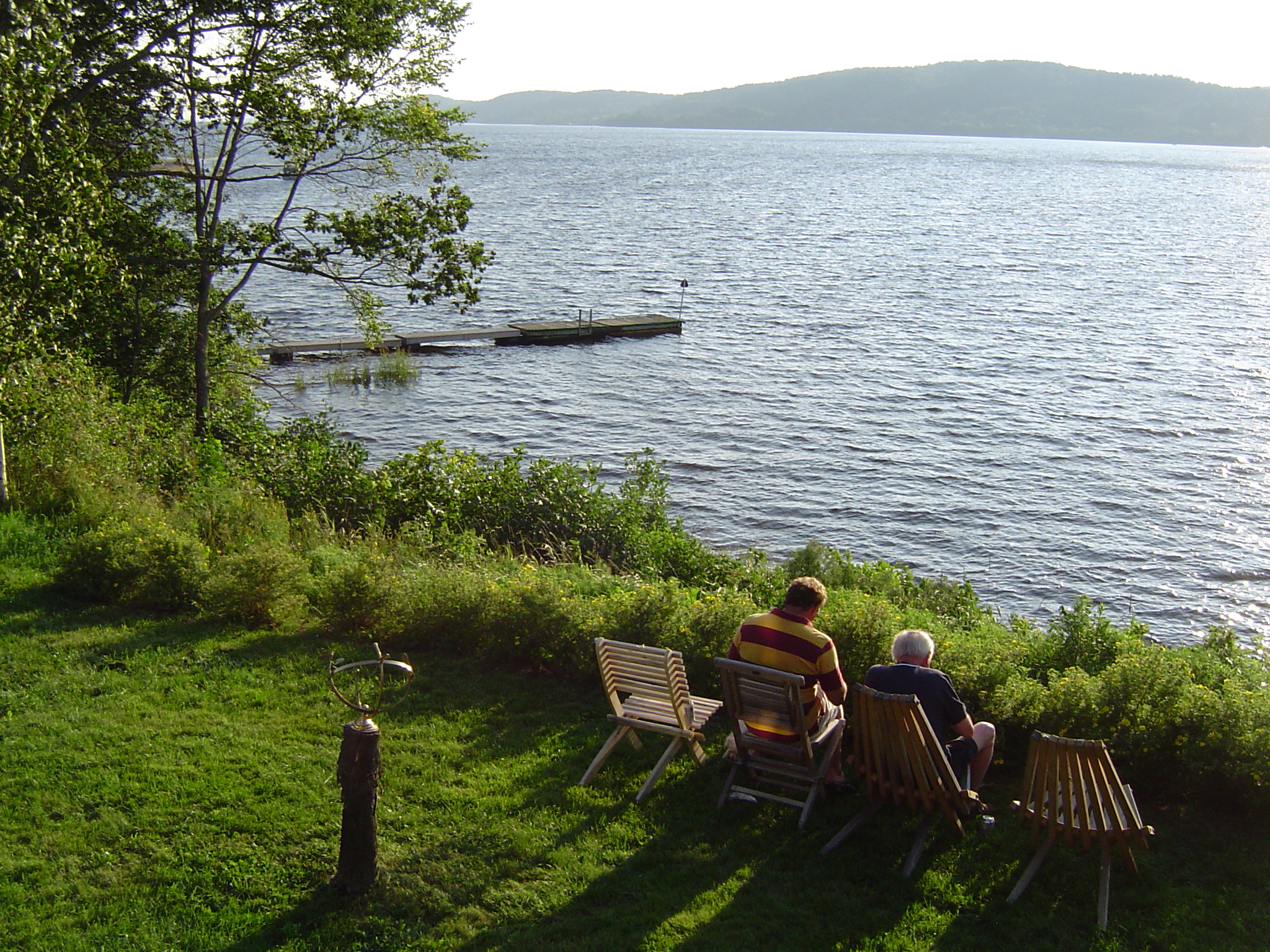
The view from John and Betty's cottage

Ant's Eye View

Moosehorn Creek Covered Bridge

House on the hill
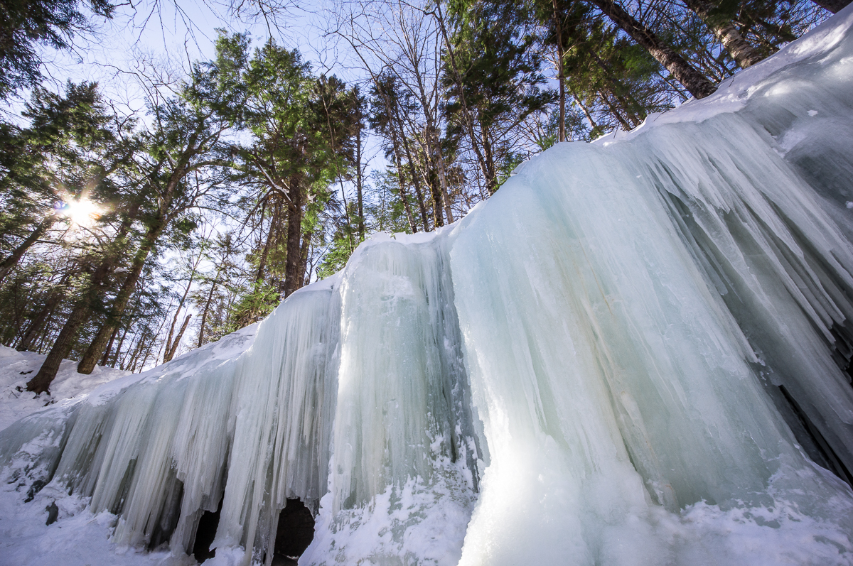
Ice Wall
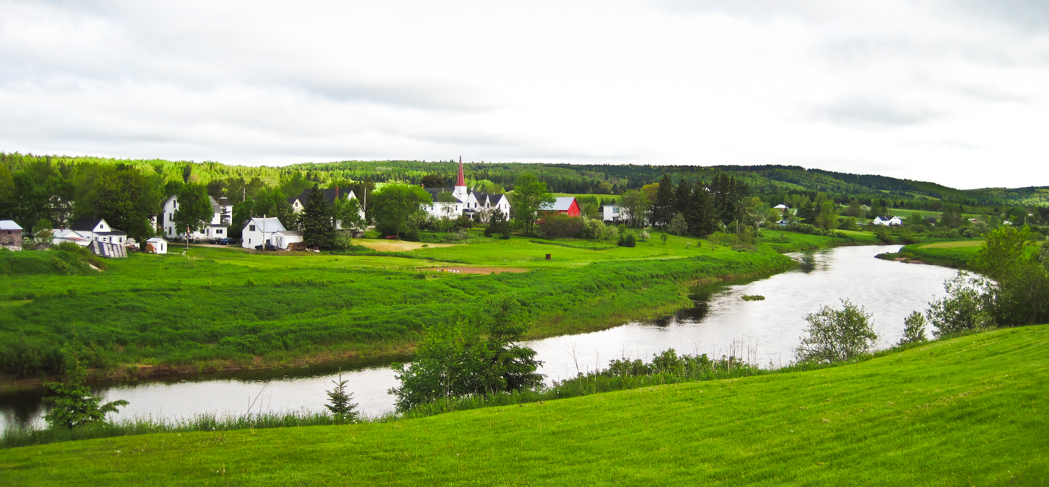
Norton, New Brunswick
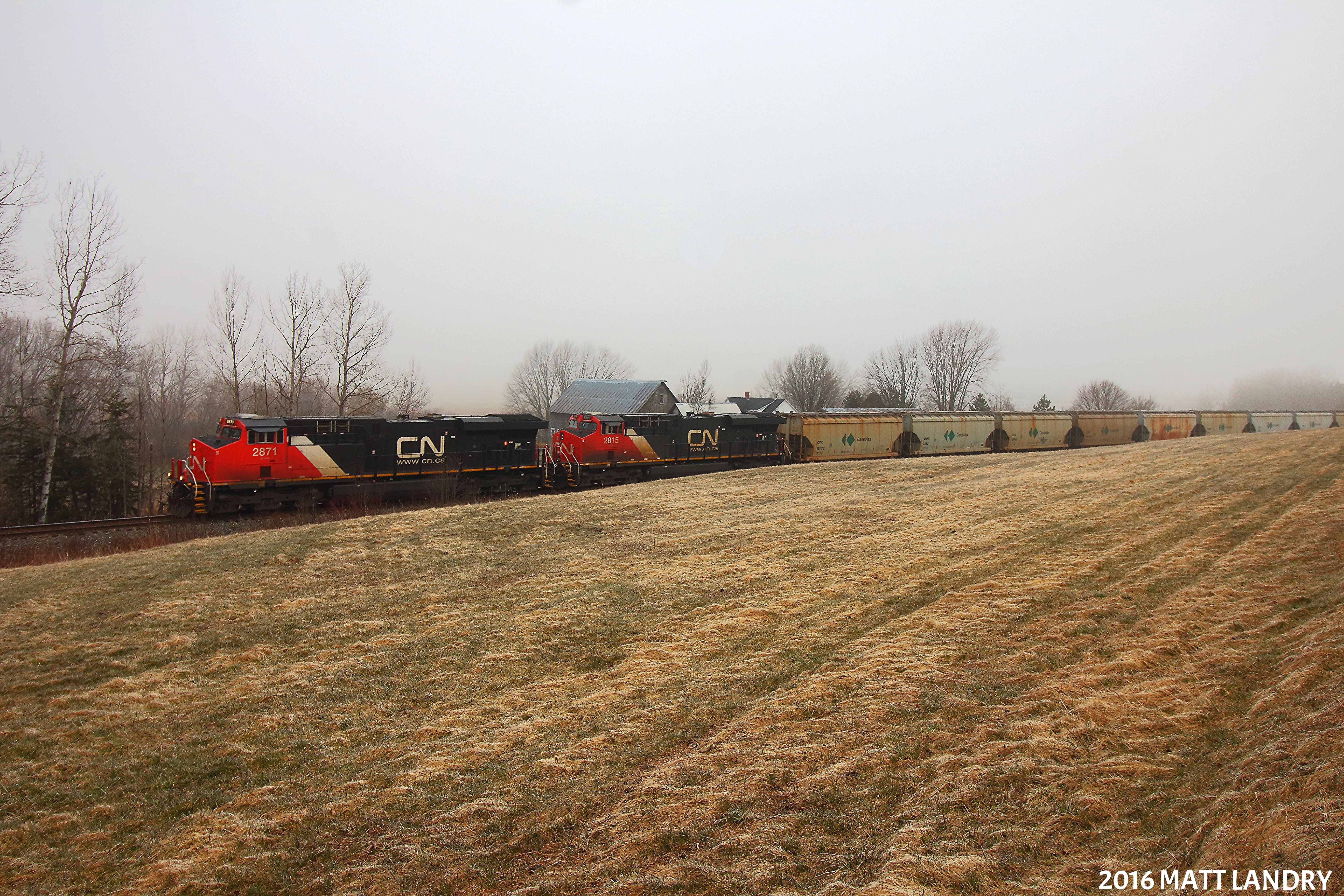
Along The Foggy Background
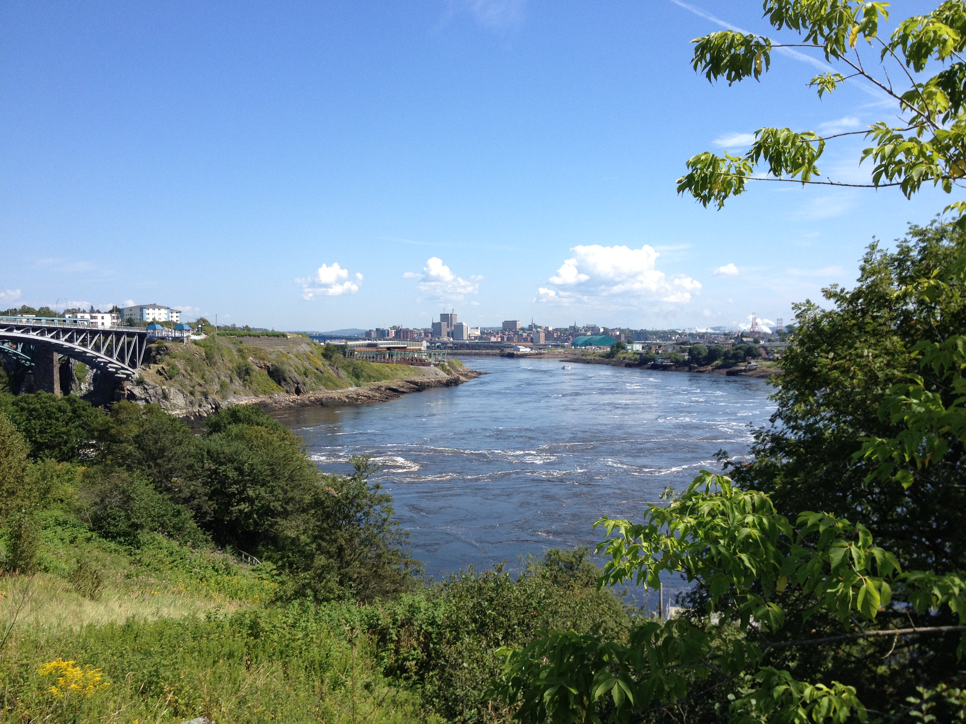
Saint John.
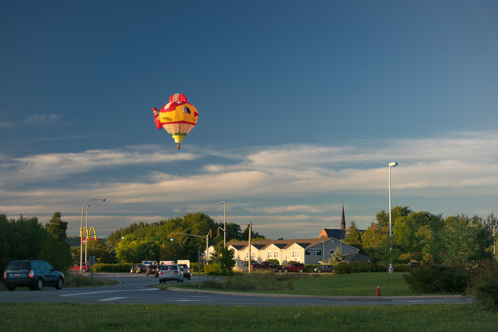
It's A Bird! No, It's A Balloon...
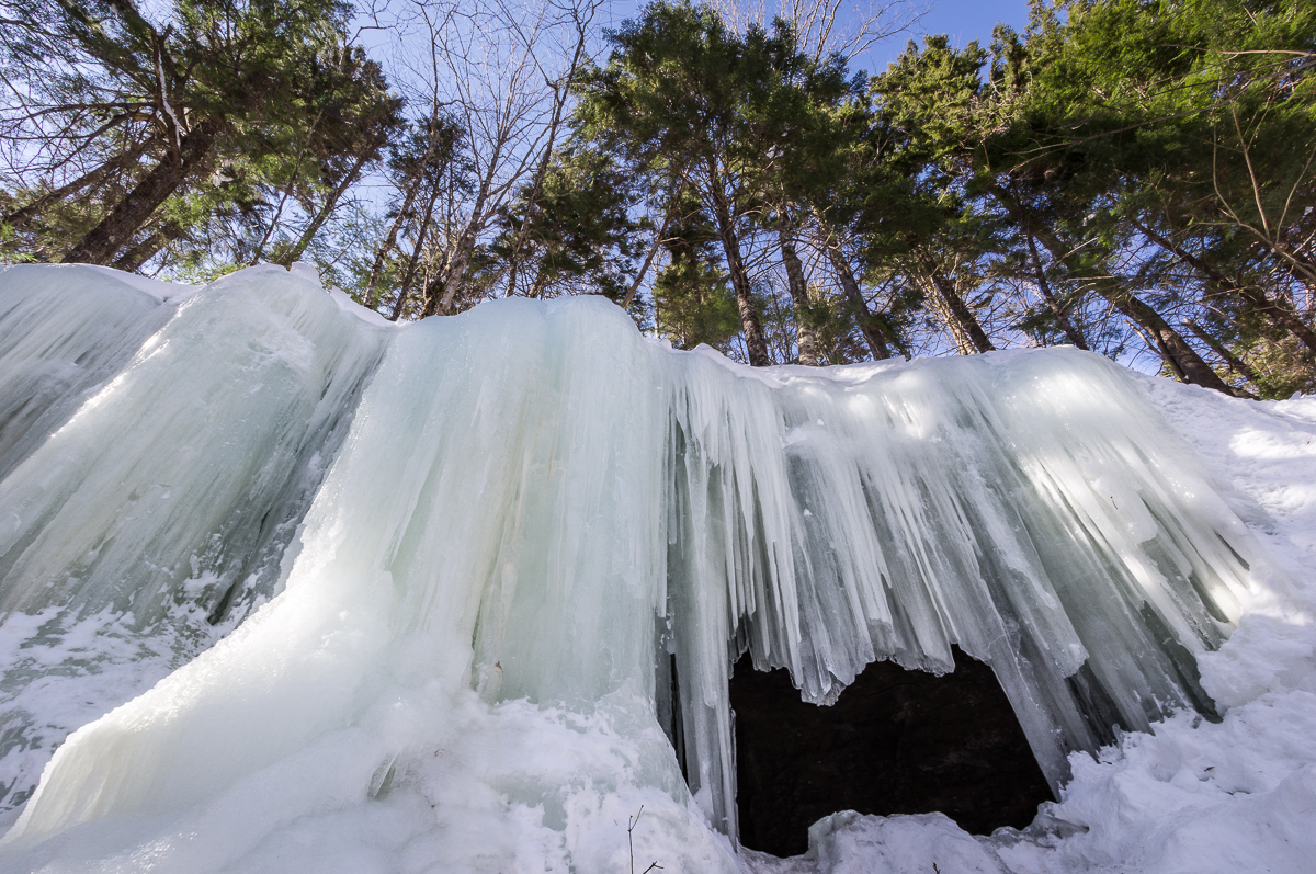
Midland Ice Cave

Moosehorn Creek Covered Bridge
Topographic Map of New Brunswick, NB-, Belleisle Creek, NB, Canada
Find elevation by address:

Places near New Brunswick, NB-, Belleisle Creek, NB, Canada:
880 Nb-870
NB-, Belleisle Creek, NB E5P 1G8, Canada
Harmer Road
Pearsonville
Pearsonville Rd, Pearsonville, NB E5P 1S5, Canada
Kierstead Mountain
Snider Mountain
Berwick
Pleasant Ridge
Pleasant Ridge Rd, Pleasant Ridge, NB E5P 2A8, Canada
156 Chittick Rd
NB-, Summerfield, NB E4G 2L1, Canada
Summerfield
41 McGregor Brook Rd, Roachville, NB E4G 2G1, Canada
Studholm
91 Queen St
87 Queen St
89 Queen St
83 Queen St
81 Queen St
Recent Searches:
- Elevation of Fern Rd, Whitmore, CA, USA
- Elevation of 62 Abbey St, Marshfield, MA, USA
- Elevation of Fernwood, Bradenton, FL, USA
- Elevation of Felindre, Swansea SA5 7LU, UK
- Elevation of Leyte Industrial Development Estate, Isabel, Leyte, Philippines
- Elevation of W Granada St, Tampa, FL, USA
- Elevation of Pykes Down, Ivybridge PL21 0BY, UK
- Elevation of Jalan Senandin, Lutong, Miri, Sarawak, Malaysia
- Elevation of Bilohirs'k
- Elevation of 30 Oak Lawn Dr, Barkhamsted, CT, USA