Elevation of Wickham, NB E5T 1J5, Canada
Location: Canada > New Brunswick > Kings County > Springfield >
Longitude: -65.854210
Latitude: 45.692111
Elevation: 123m / 404feet
Barometric Pressure: 100KPa
Elevation Map:
Satellite Map:
Related Photos:

Frozen waterfall.

Frozen waterfall

"forever"

Bloomfield, New Brunswick
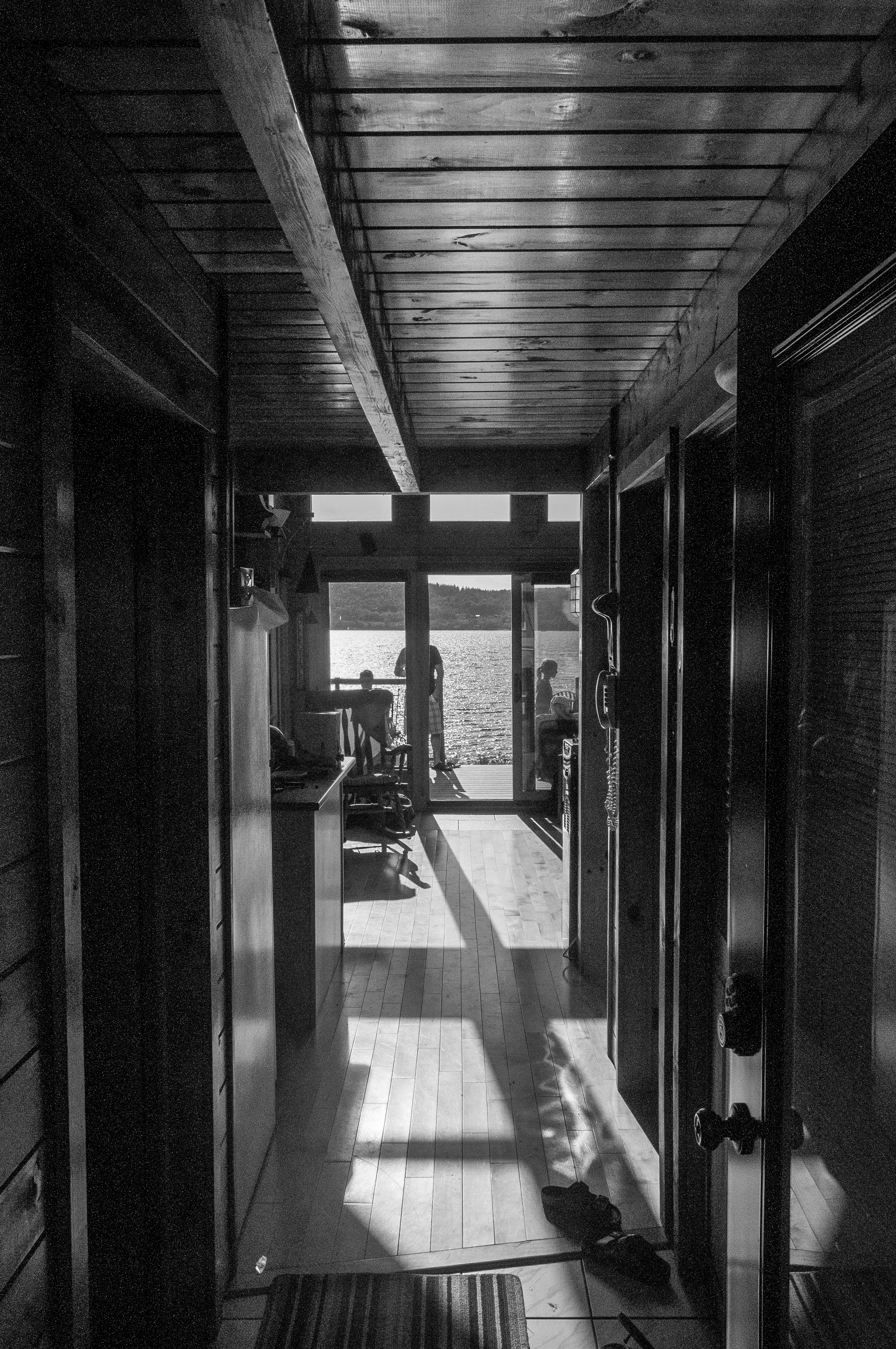
View through the house
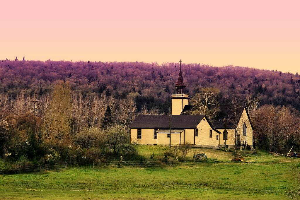
unknown church

"the 1st wave"
New Brunswick - 2008-08-010
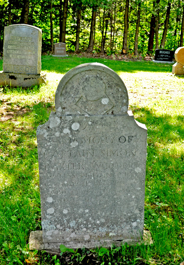
Big Rock Cemetery

Moosehorn Creek Covered Bridge
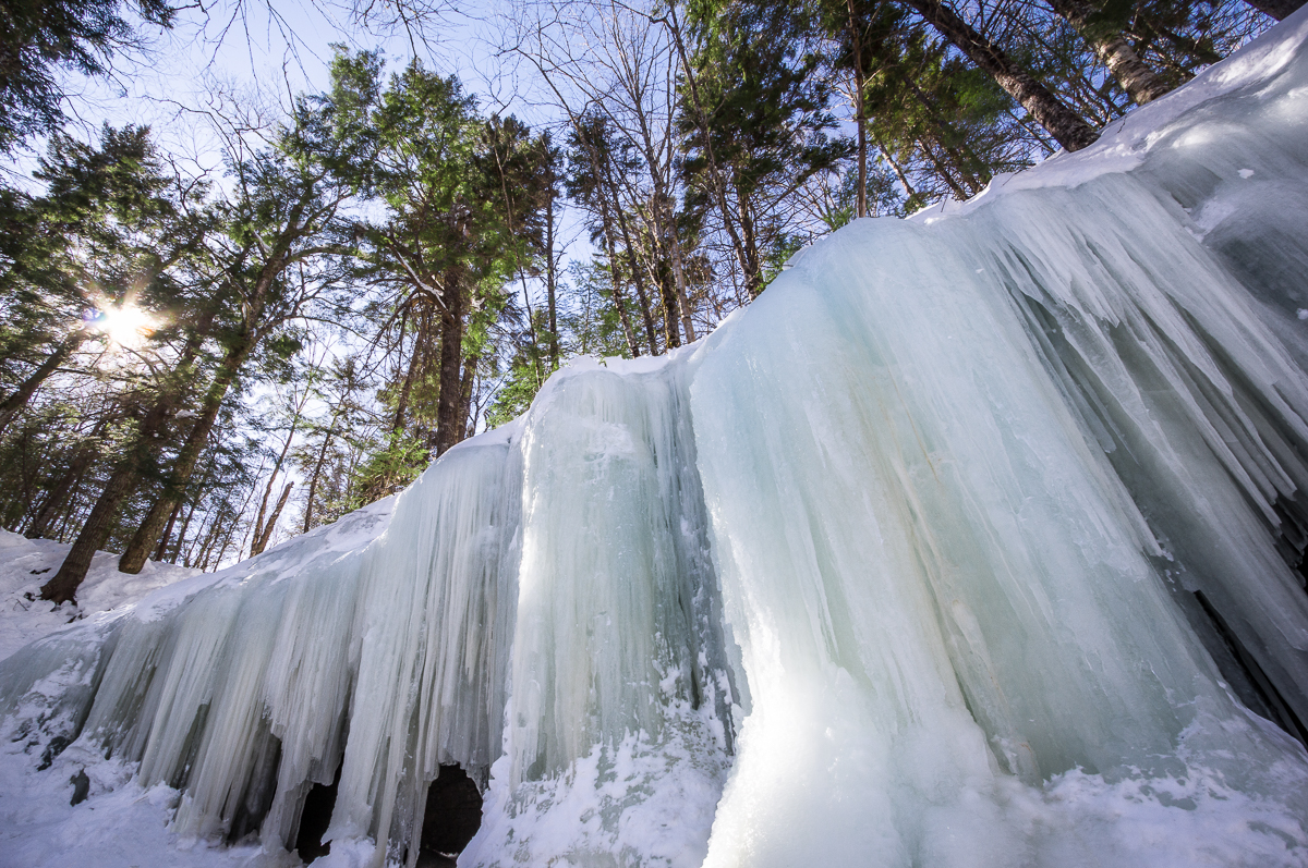
Ice Wall
Just A Touch Of Moderninity
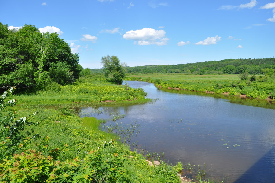
Jenkins Cove
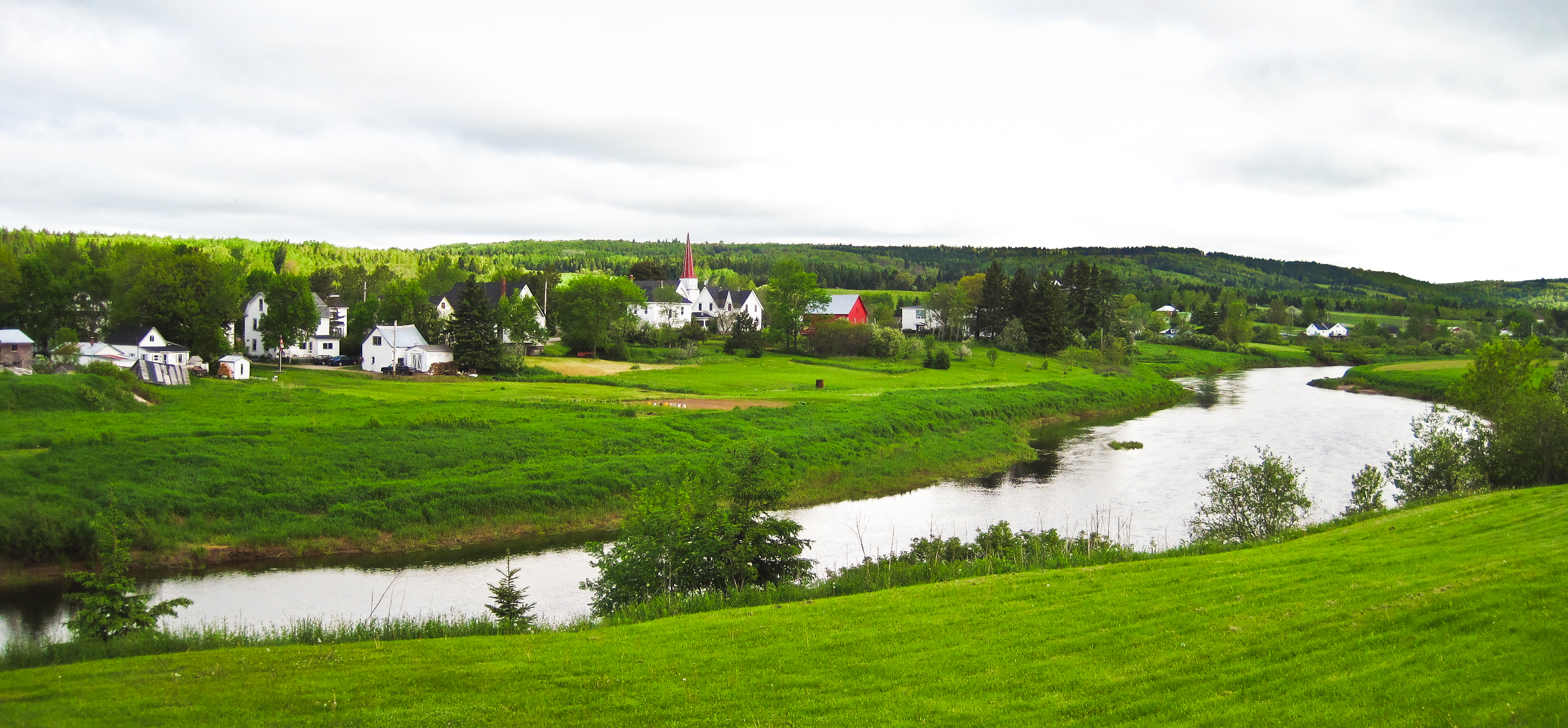
Norton, New Brunswick
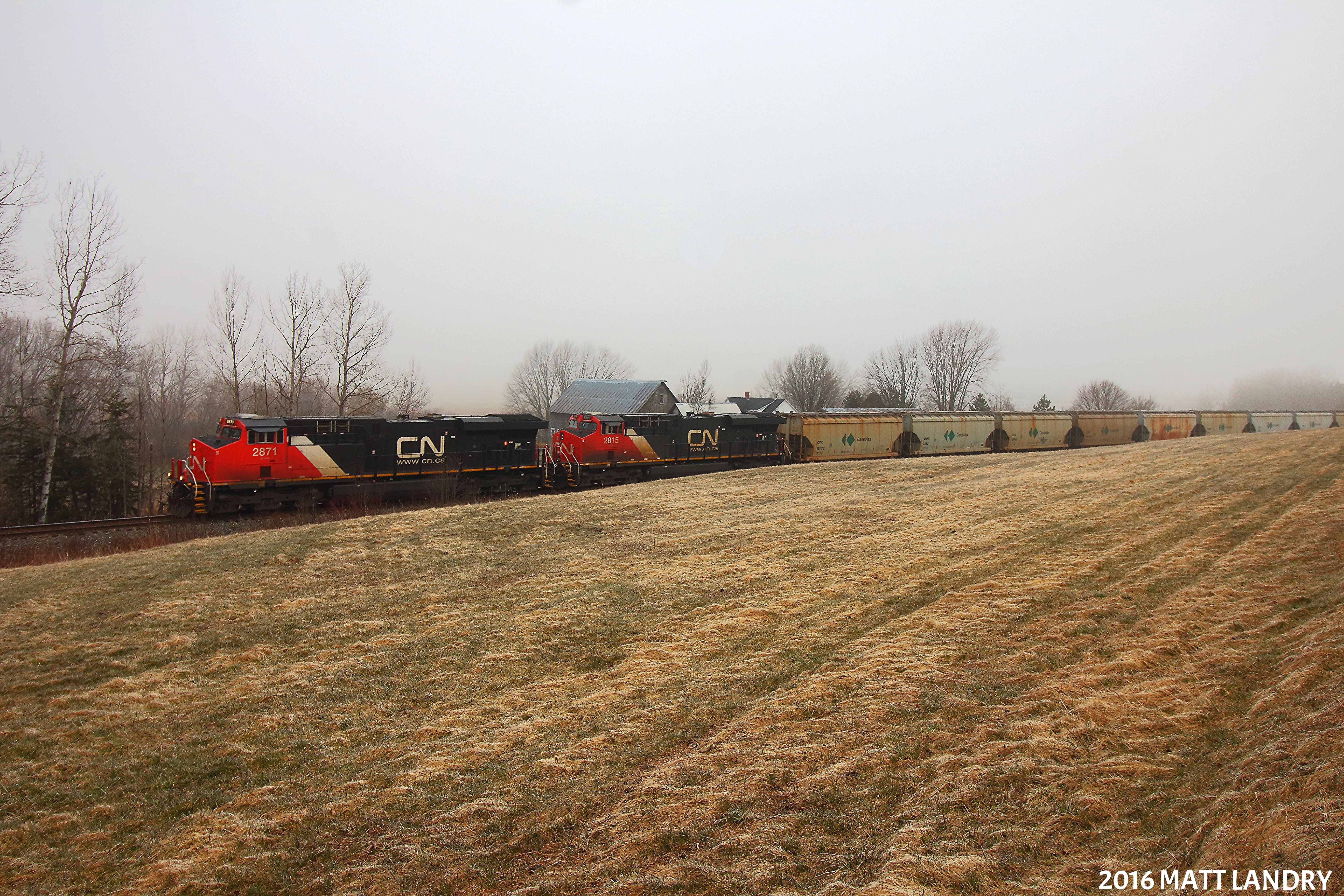
Along The Foggy Background
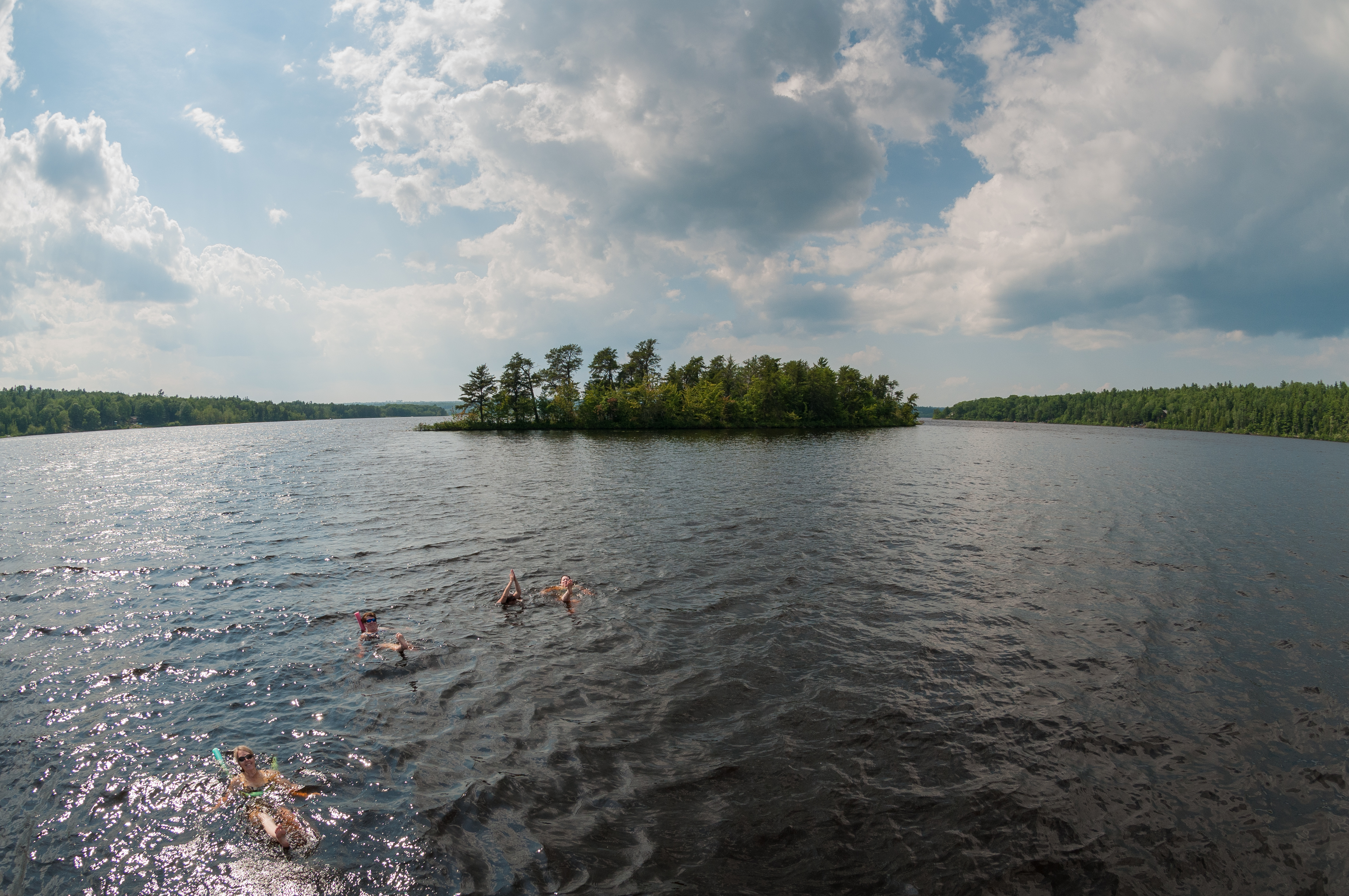
Synchronized Swimming - Home Edition
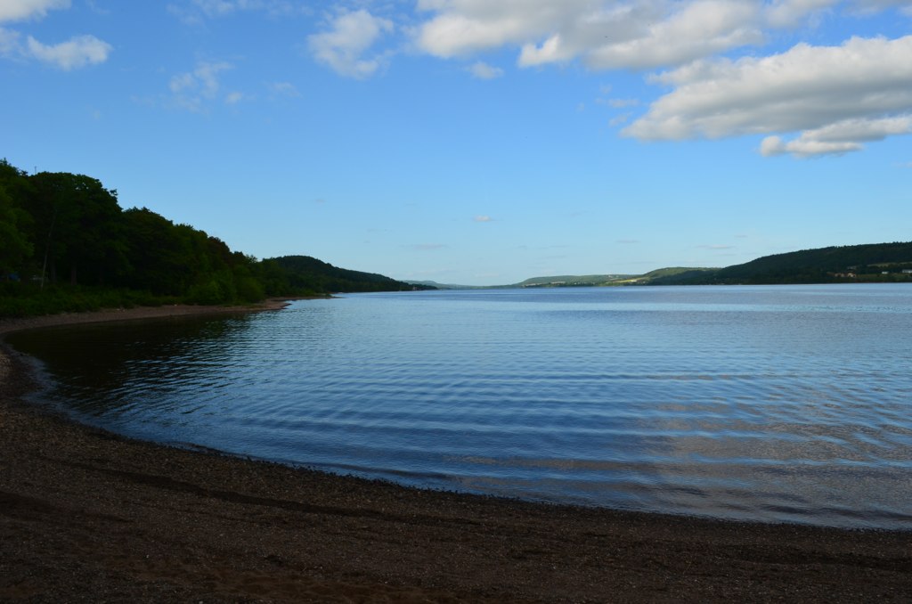
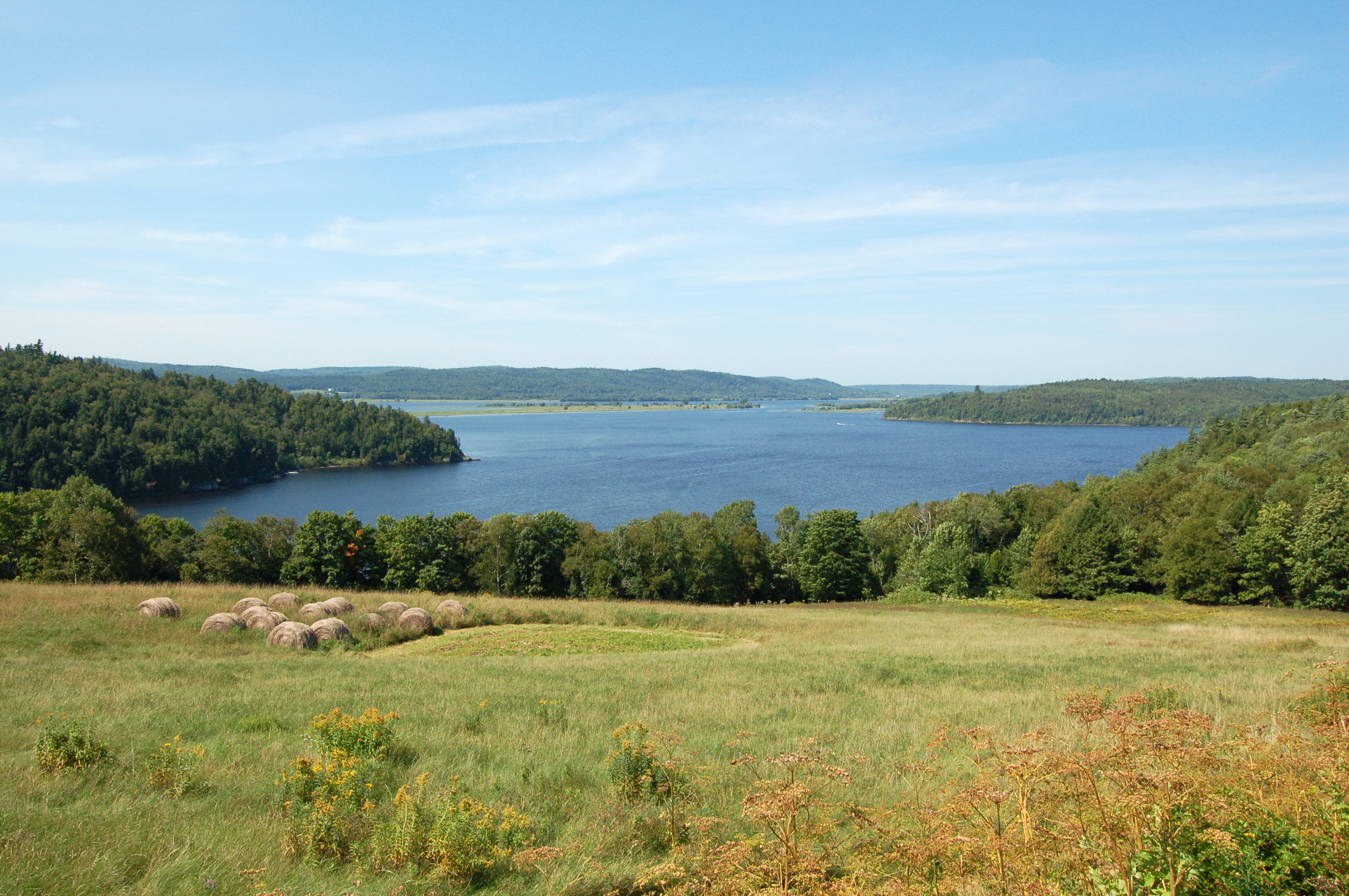
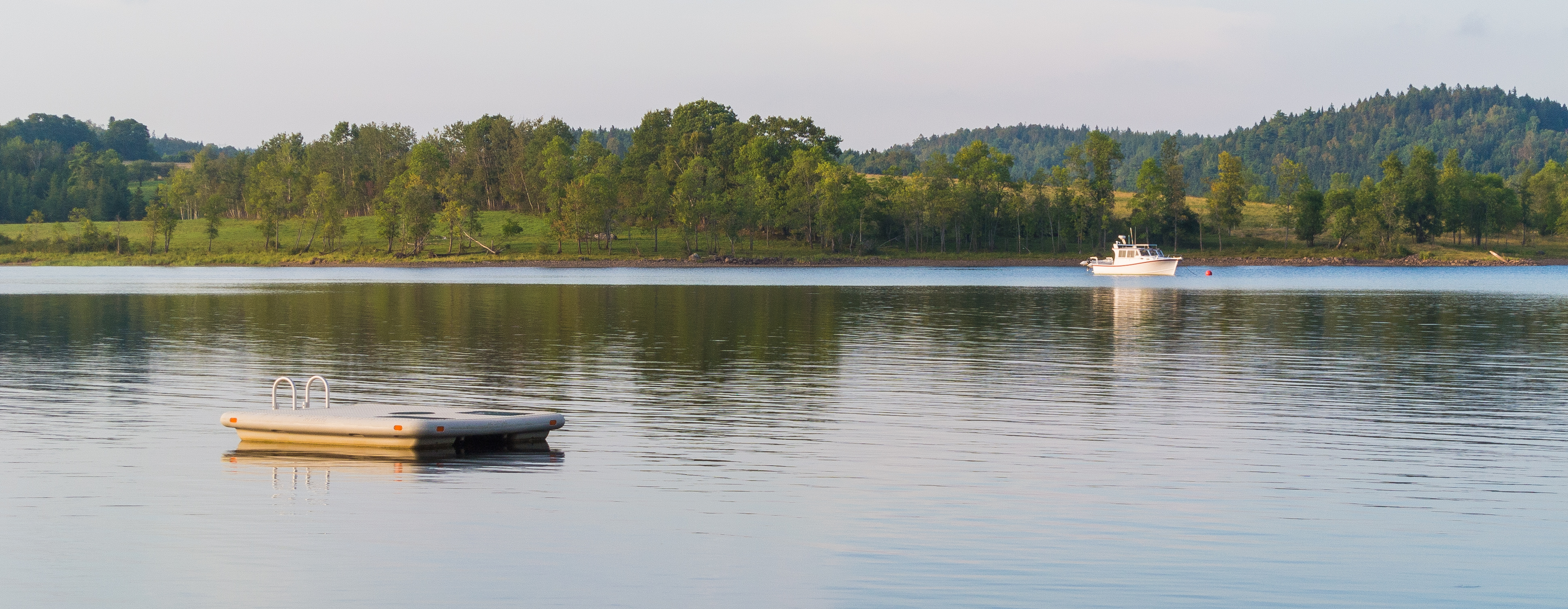
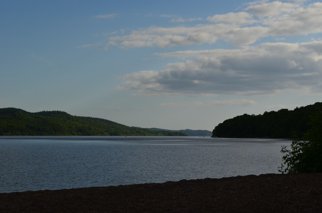
Belleisle Bay
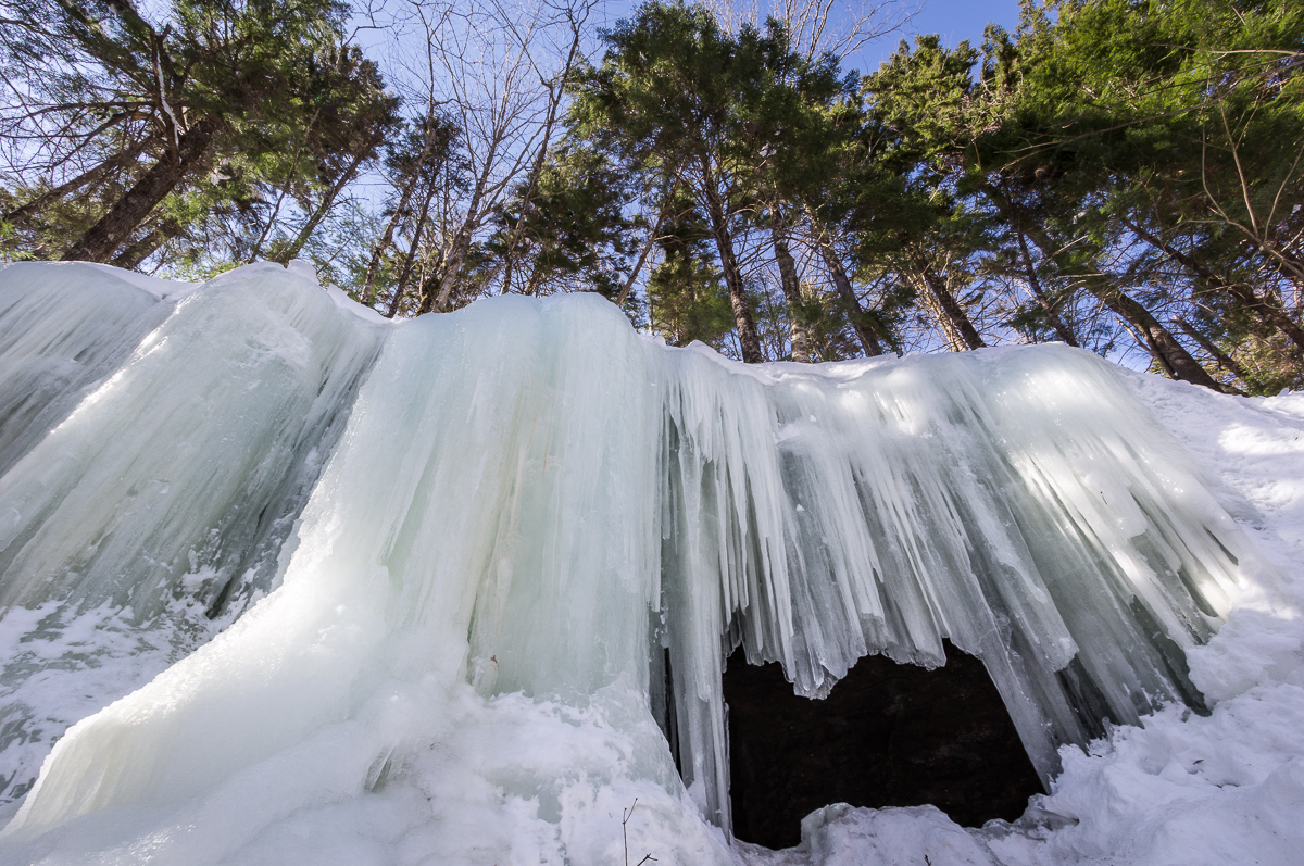
Midland Ice Cave
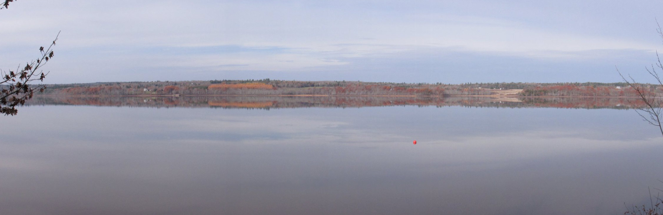
Belleisle Bay, looking toward Saint John

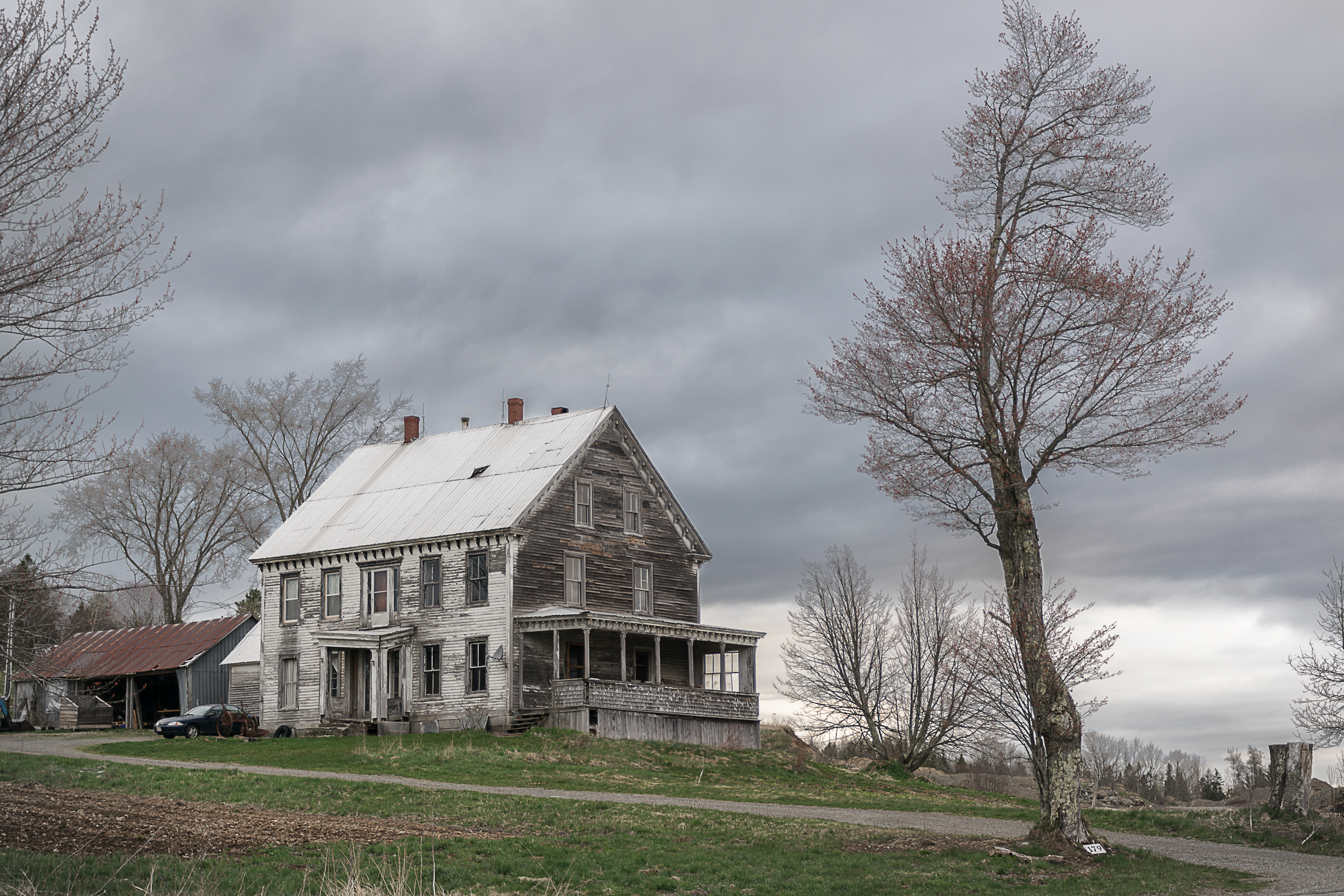
House on the hill
9-merge

Moosehorn Creek Covered Bridge
Bloomfield Creek by Covered Bridge
Topographic Map of Wickham, NB E5T 1J5, Canada
Find elevation by address:

Places near Wickham, NB E5T 1J5, Canada:
1826 Nb-124
Springfield
Springfield Trees
39 Gilchrist Rd
39 Gilchrist Rd
38 Gilchrist Rd
Midland
73 Ravine Rd, Norton, NB E5T 2C5, Canada
36 Gilchrist Rd
74 Ravine Rd
74 Ravine Rd
74 Ravine Rd
74 Ravine Rd
74 Ravine Rd
NB-, Belleisle Creek, NB E5P 1X7, Canada
34 Gilchrist Rd
998 Nb-850
NB-, Long Point, NB E5N 7W6, Canada
Long Point
29 Gilchrist Rd
Recent Searches:
- Elevation of 6 Rue Jules Ferry, Beausoleil, France
- Elevation of Sattva Horizon, 4JC6+G9P, Vinayak Nagar, Kattigenahalli, Bengaluru, Karnataka, India
- Elevation of Great Brook Sports, Gold Star Hwy, Groton, CT, USA
- Elevation of 10 Mountain Laurels Dr, Nashua, NH, USA
- Elevation of 16 Gilboa Ln, Nashua, NH, USA
- Elevation of Laurel Rd, Townsend, TN, USA
- Elevation of 3 Nestling Wood Dr, Long Valley, NJ, USA
- Elevation of Ilungu, Tanzania
- Elevation of Yellow Springs Road, Yellow Springs Rd, Chester Springs, PA, USA
- Elevation of Rēzekne Municipality, Latvia