Elevation of Springdale Hunters Rd, Springdale, WA, USA
Location: United States > Washington > Stevens County > Springdale >
Longitude: -117.94355
Latitude: 48.057025
Elevation: 734m / 2408feet
Barometric Pressure: 93KPa
Elevation Map:
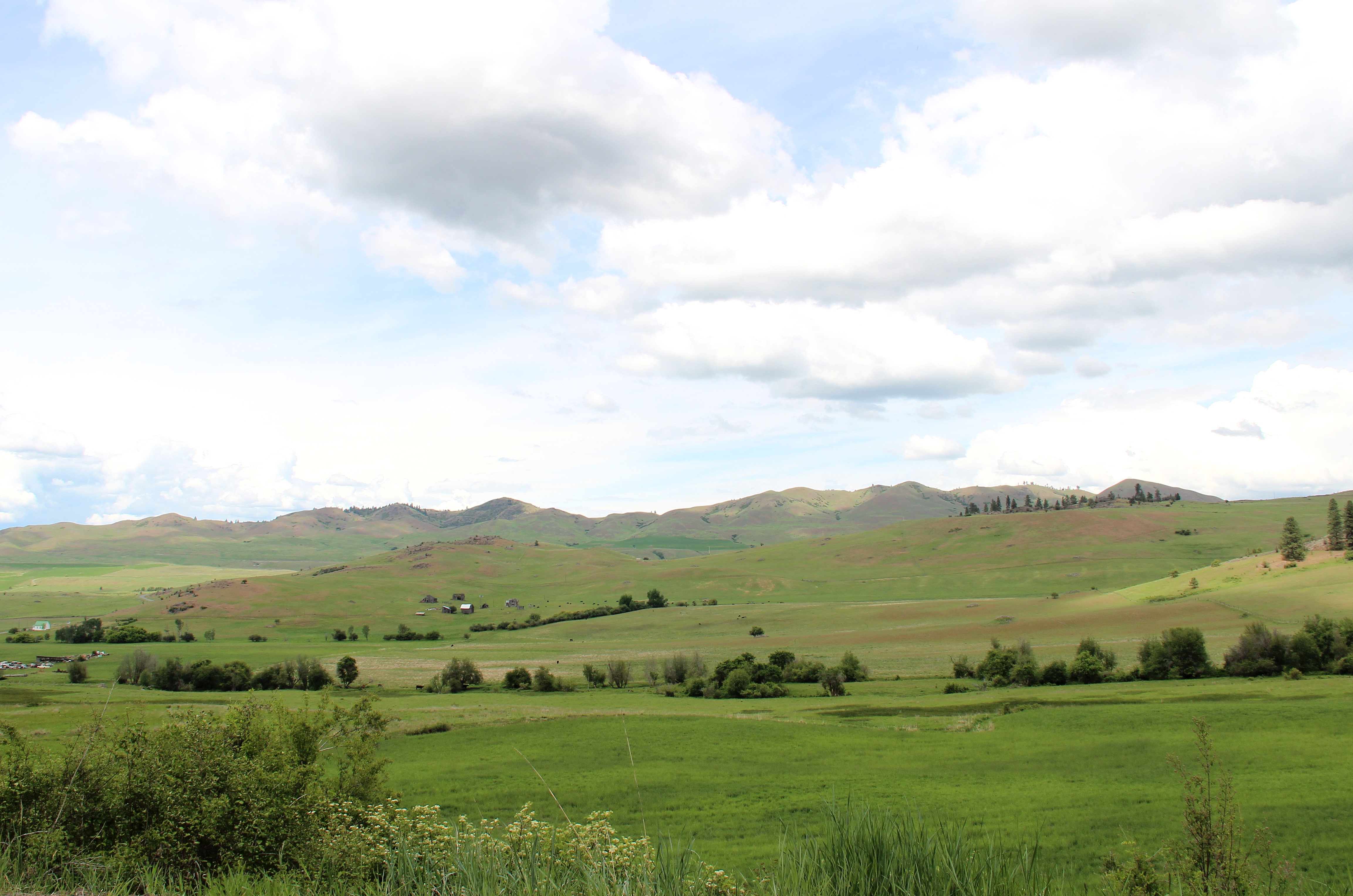
Satellite Map:
Related Photos:

25 Mile Creek State Park

25 Mile Creek State Park

A Warm & Lovin' September Morning

Blissful Stillness

Shrouded Into Mystery...
Hunters Fruitland Landscape

Unidentified Merganser

25 Mile Creek State Park

25 Mile Creek State Park

25 Mile Creek State Park
Topographic Map of Springdale Hunters Rd, Springdale, WA, USA
Find elevation by address:

Places near Springdale Hunters Rd, Springdale, WA, USA:
4583 Springdale Hunters Rd
4027b Hesseltine Rd
4121 Springdale Hunters Rd
3157 Red Marble Rd
Springdale
Ford
Long Lake Dam
Valley
Loralee Street
Schmidlekofer Road
U.s. 395
Tumtum
Loon Lake
Chewelah
Addy
206 W Franklin Ave
Jenkins High School
Sand Canyon Airport
110 Richmond Ln
2312 Burnt Valley Rd
Recent Searches:
- Elevation of Congressional Dr, Stevensville, MD, USA
- Elevation of Bellview Rd, McLean, VA, USA
- Elevation of Stage Island Rd, Chatham, MA, USA
- Elevation of Shibuya Scramble Crossing, 21 Udagawacho, Shibuya City, Tokyo -, Japan
- Elevation of Jadagoniai, Kaunas District Municipality, Lithuania
- Elevation of Pagonija rock, Kranto 7-oji g. 8"N, Kaunas, Lithuania
- Elevation of Co Rd 87, Jamestown, CO, USA
- Elevation of Tenjo, Cundinamarca, Colombia
- Elevation of Côte-des-Neiges, Montreal, QC H4A 3J6, Canada
- Elevation of Bobcat Dr, Helena, MT, USA