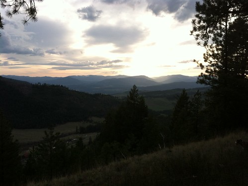
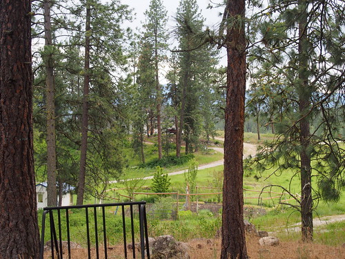
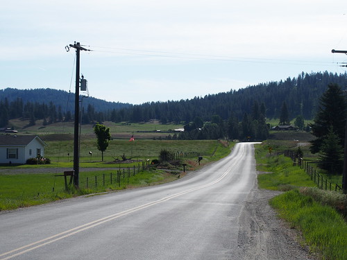
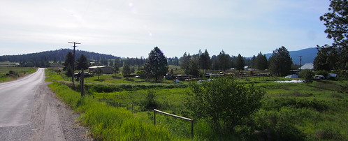
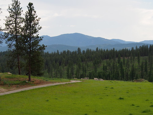
Elevation of Addy, WA, USA
Location: United States > Washington > Stevens County >
Longitude: -117.83783
Latitude: 48.3561473
Elevation: 496m / 1627feet
Barometric Pressure: 96KPa
Related Photos:
Topographic Map of Addy, WA, USA
Find elevation by address:

Places near Addy, WA, USA:
1167 Mclean Rd
110 Richmond Ln
Sand Canyon Airport
U.s. 395
786 Arden Butte Rd
Schmidlekofer Road
Stevens County
2763 Highline Rd
957 Kitt-narcisse Rd
Highline Rd, Chewelah, WA, USA
3157 Red Marble Rd
206 W Franklin Ave
2312 Burnt Valley Rd
Chewelah
Jenkins High School
Orin-Rice Rd, Colville, WA, USA
842 Valley-westside Rd
823 Orin-rice Rd
980 S Main St
839 Wa-20
Recent Searches:
- Elevation of Congressional Dr, Stevensville, MD, USA
- Elevation of Bellview Rd, McLean, VA, USA
- Elevation of Stage Island Rd, Chatham, MA, USA
- Elevation of Shibuya Scramble Crossing, 21 Udagawacho, Shibuya City, Tokyo -, Japan
- Elevation of Jadagoniai, Kaunas District Municipality, Lithuania
- Elevation of Pagonija rock, Kranto 7-oji g. 8"N, Kaunas, Lithuania
- Elevation of Co Rd 87, Jamestown, CO, USA
- Elevation of Tenjo, Cundinamarca, Colombia
- Elevation of Côte-des-Neiges, Montreal, QC H4A 3J6, Canada
- Elevation of Bobcat Dr, Helena, MT, USA

