Elevation of Valley-Westside Rd, Colville, WA, USA
Location: United States > Washington > Colville >
Longitude: -117.92746
Latitude: 48.5122981
Elevation: 498m / 1634feet
Barometric Pressure: 95KPa
Elevation Map:
Satellite Map:
Related Photos:
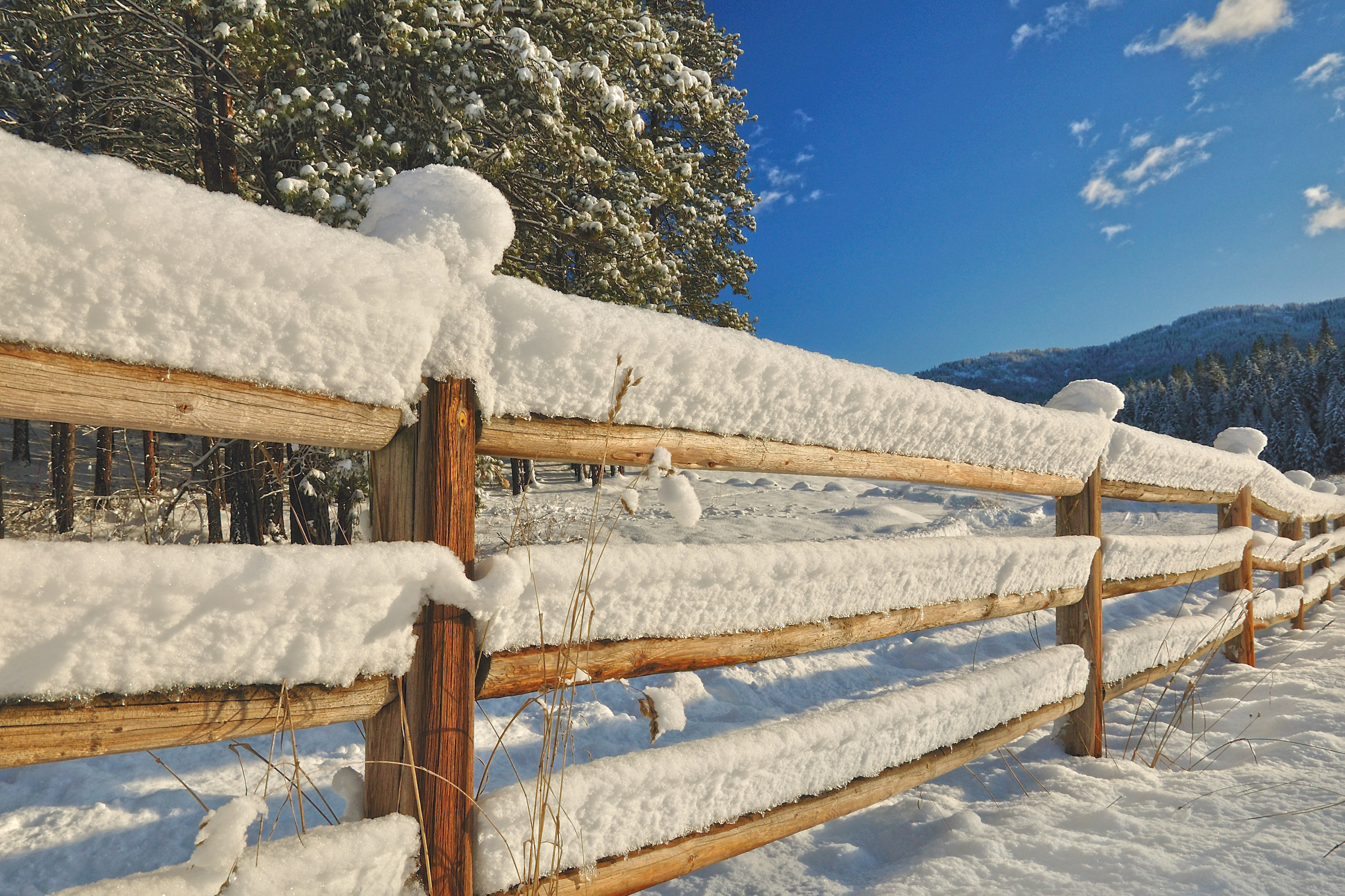
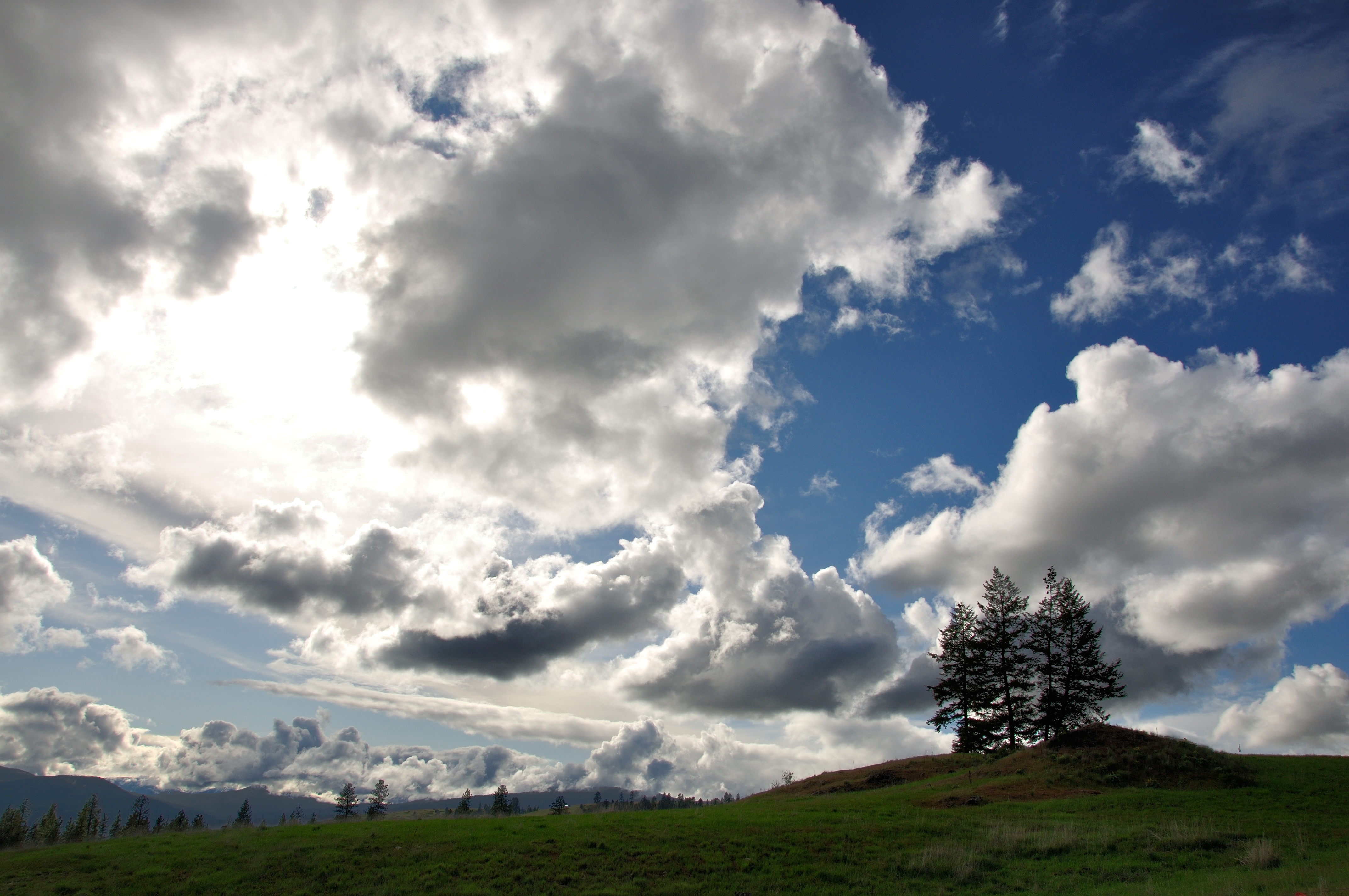
Frigid Caps

Remembering Evergreen
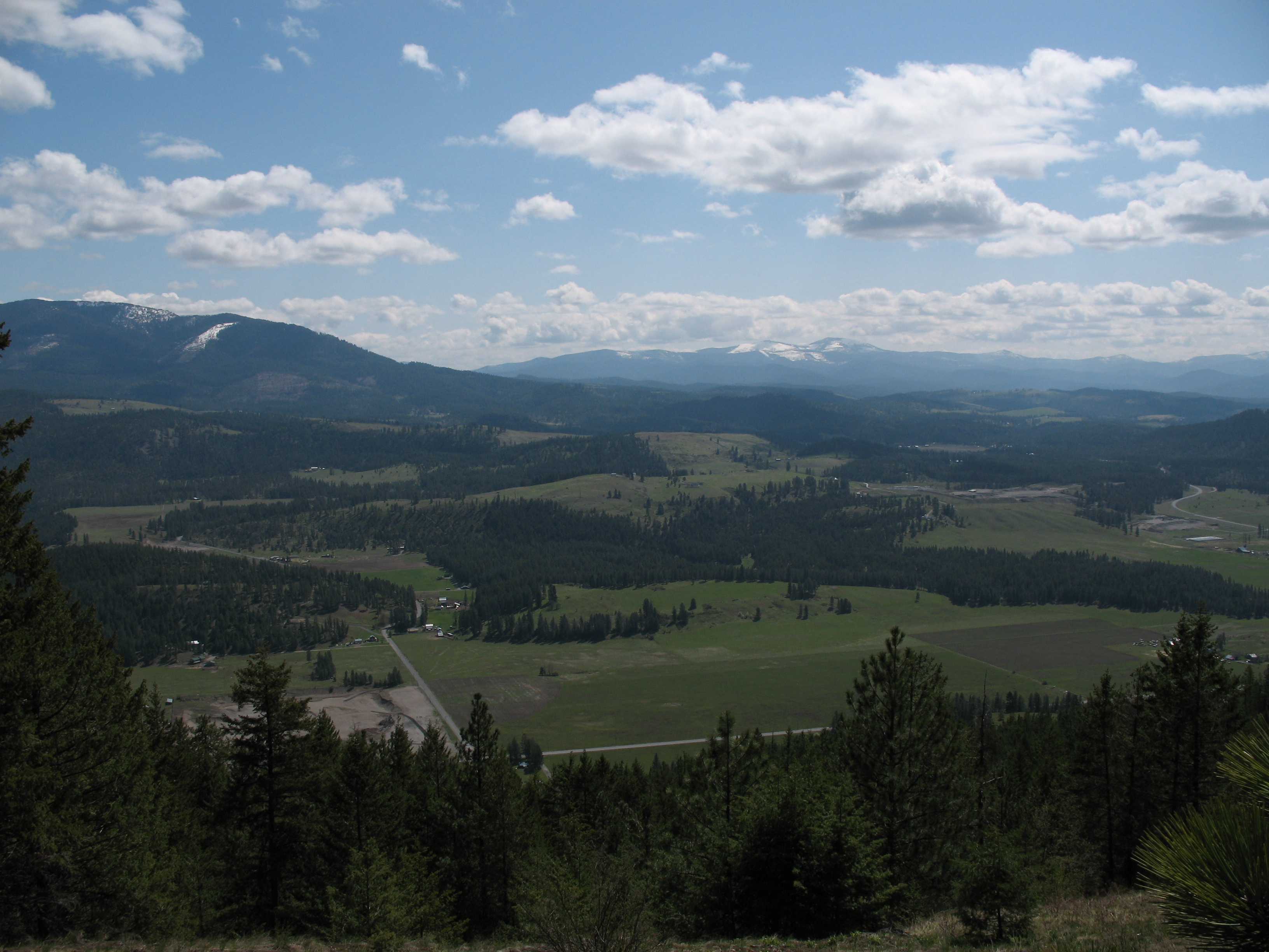
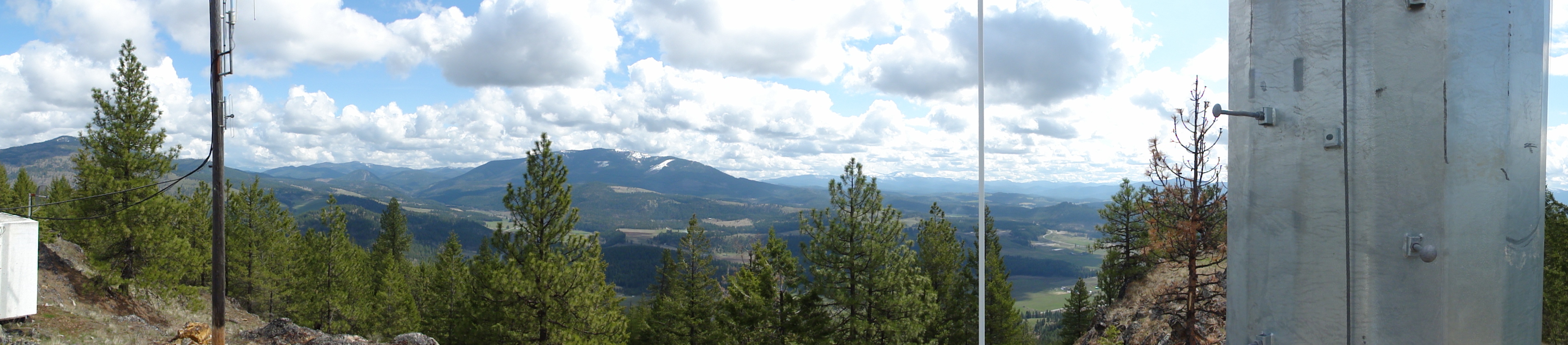
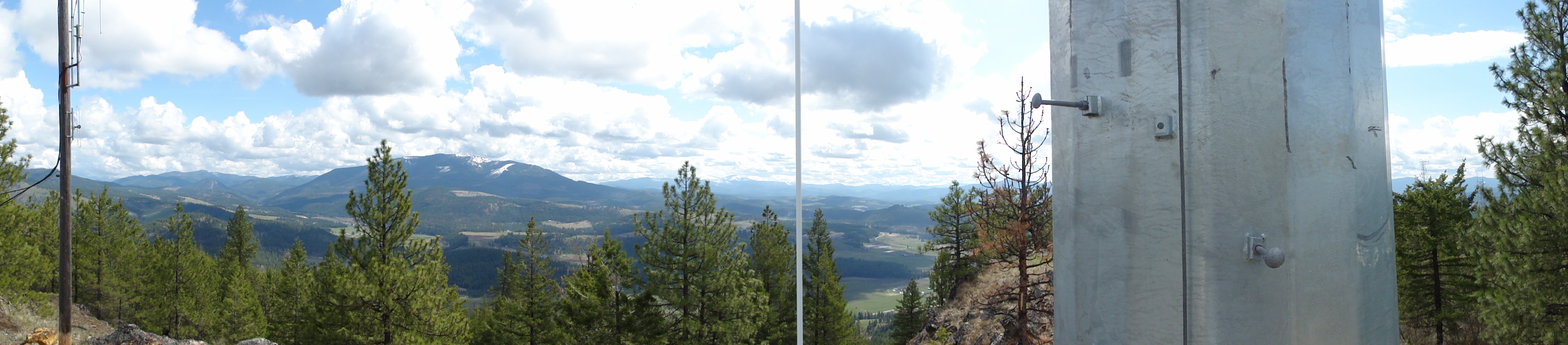
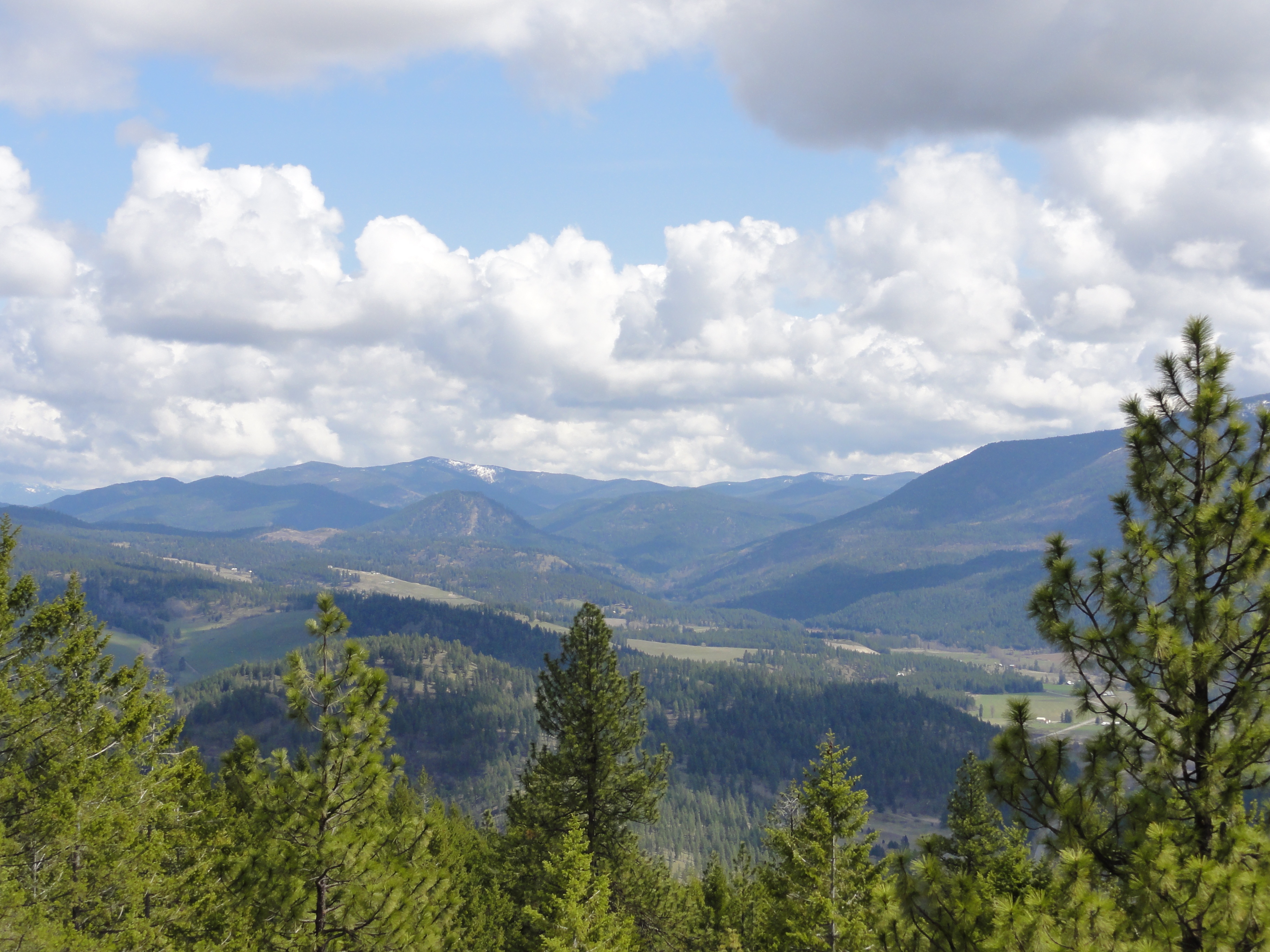
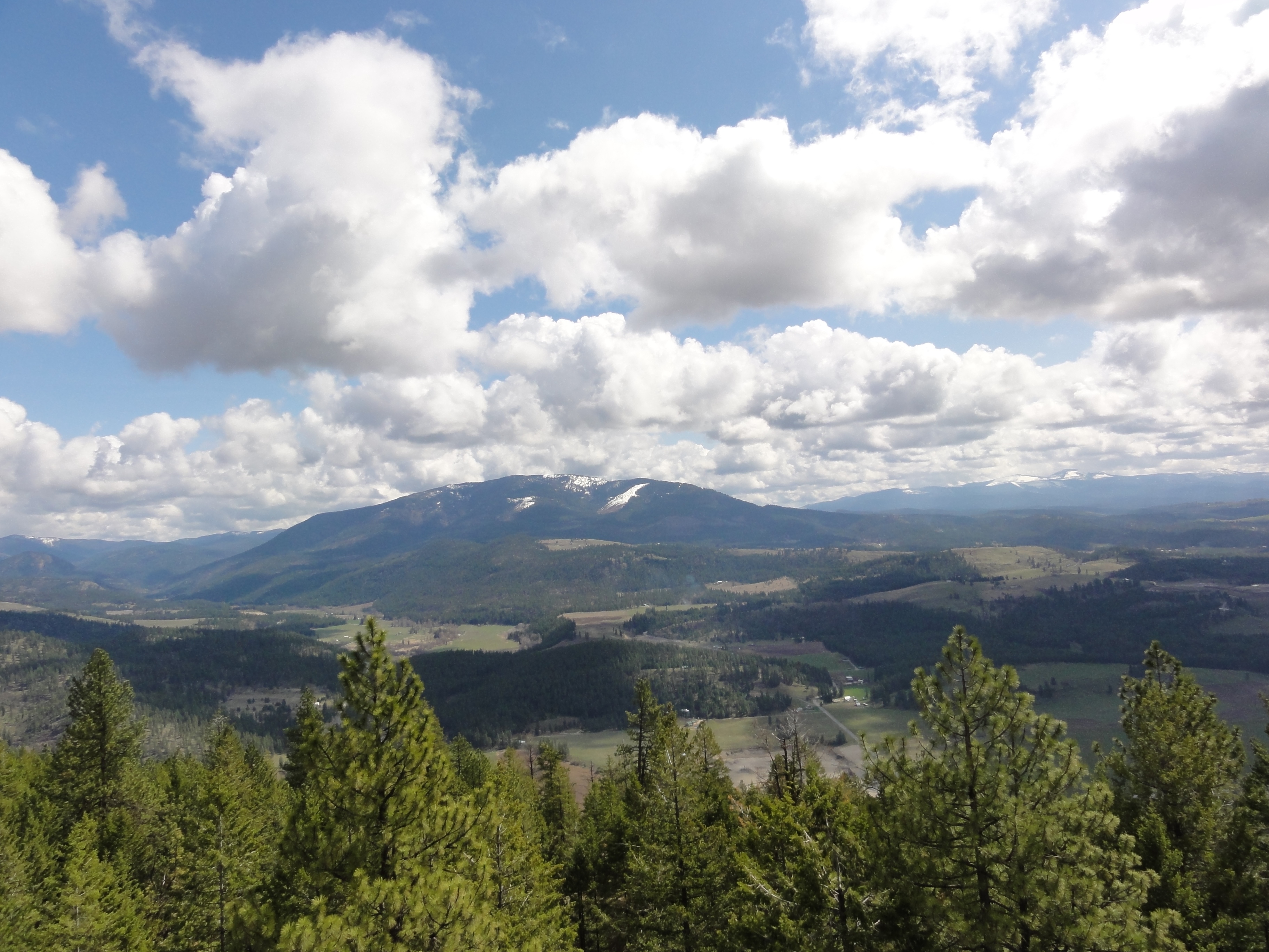
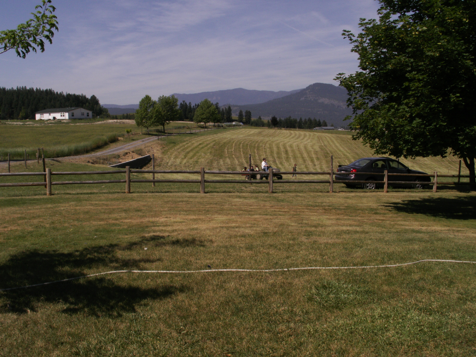
View East from Colville Mountain
Show Case
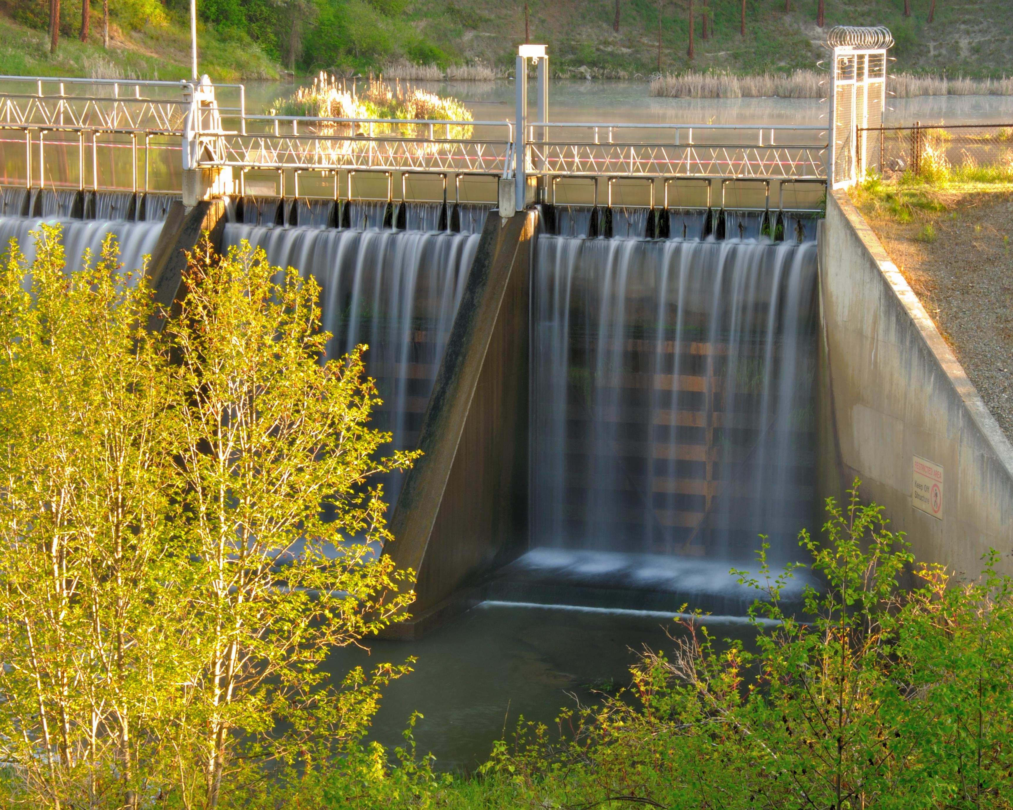
Dam Morning
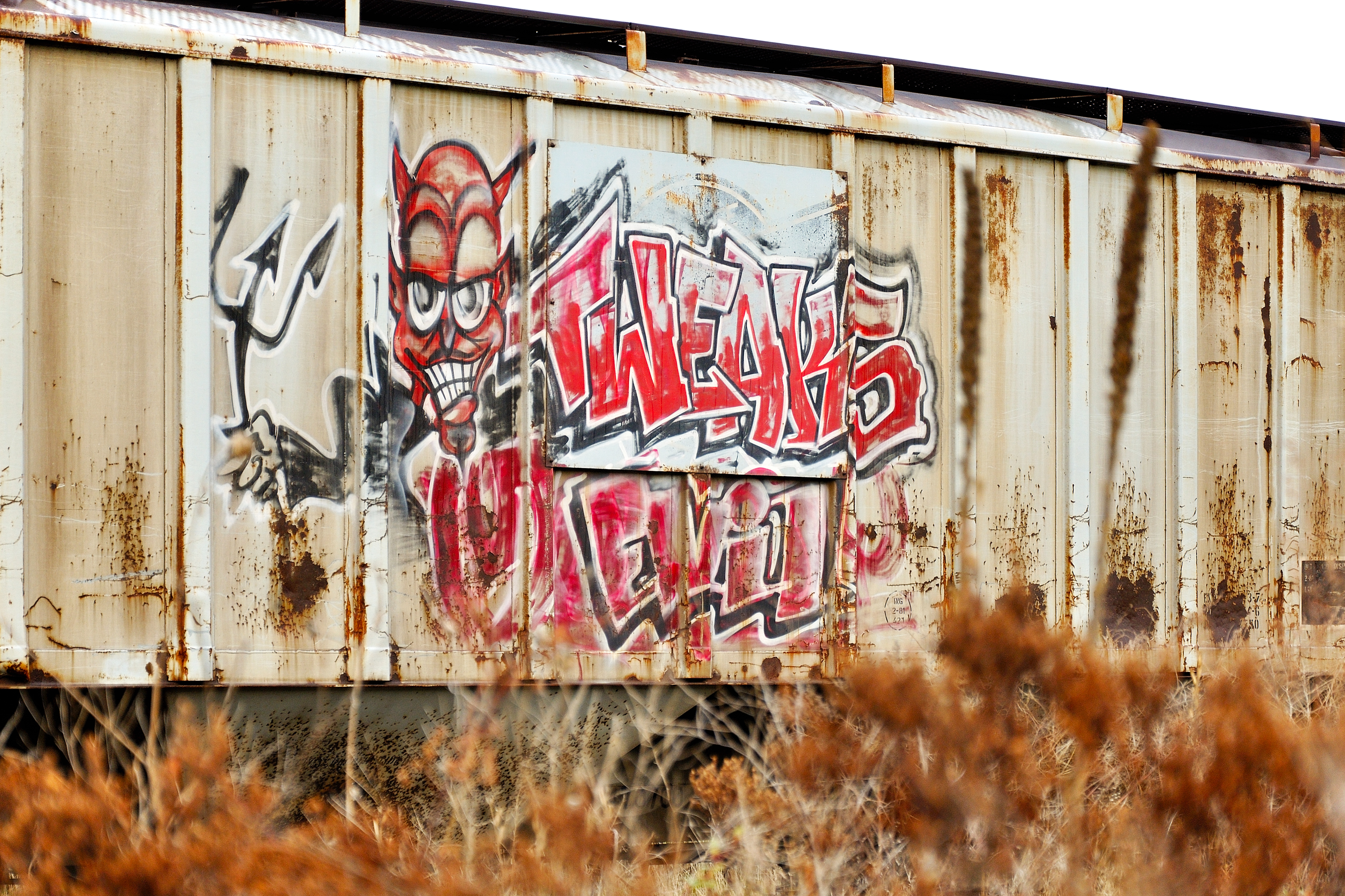
Tweaks Evil
View from metal walkway
View from metal walkway
View from metal walkway
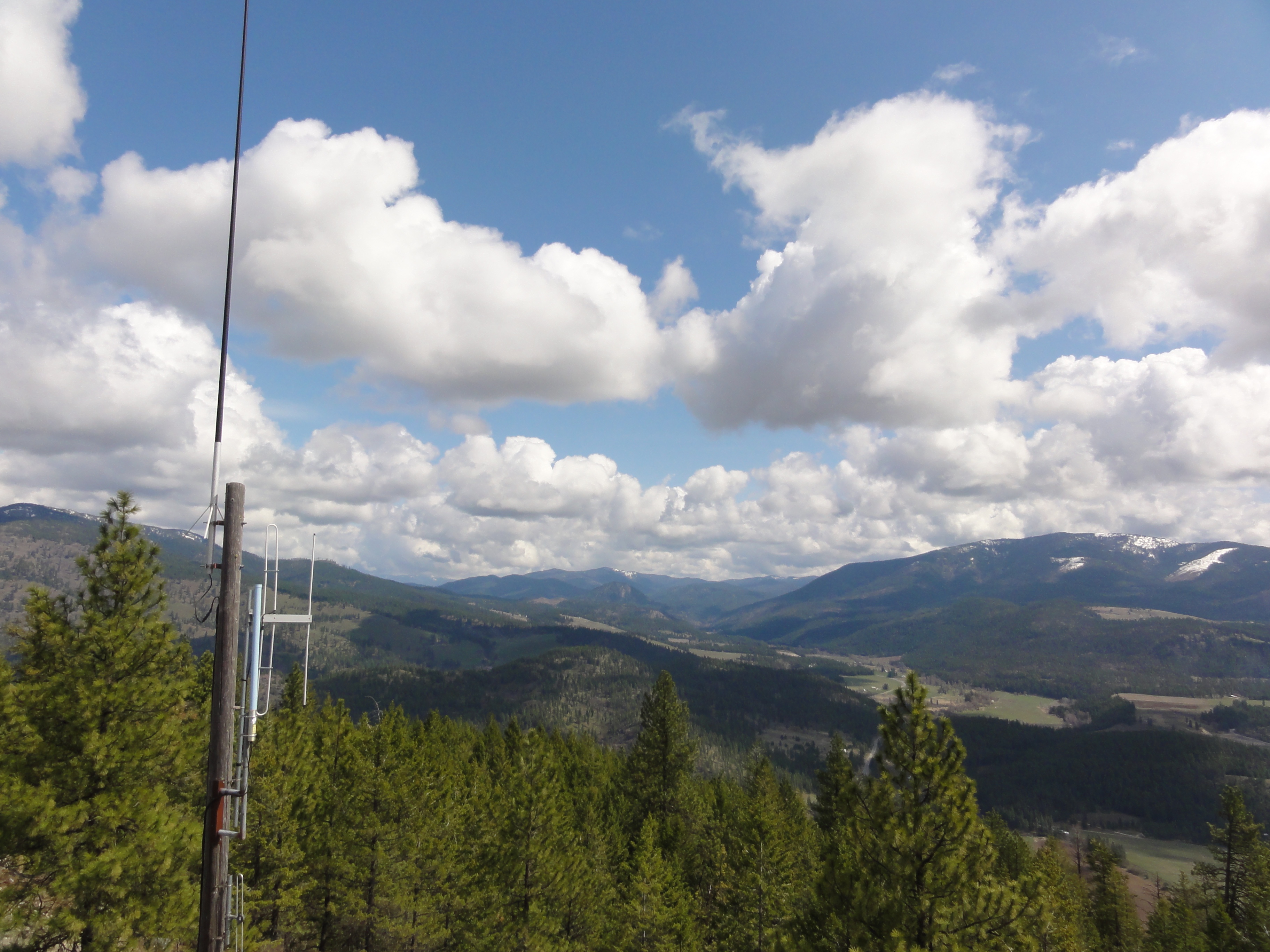
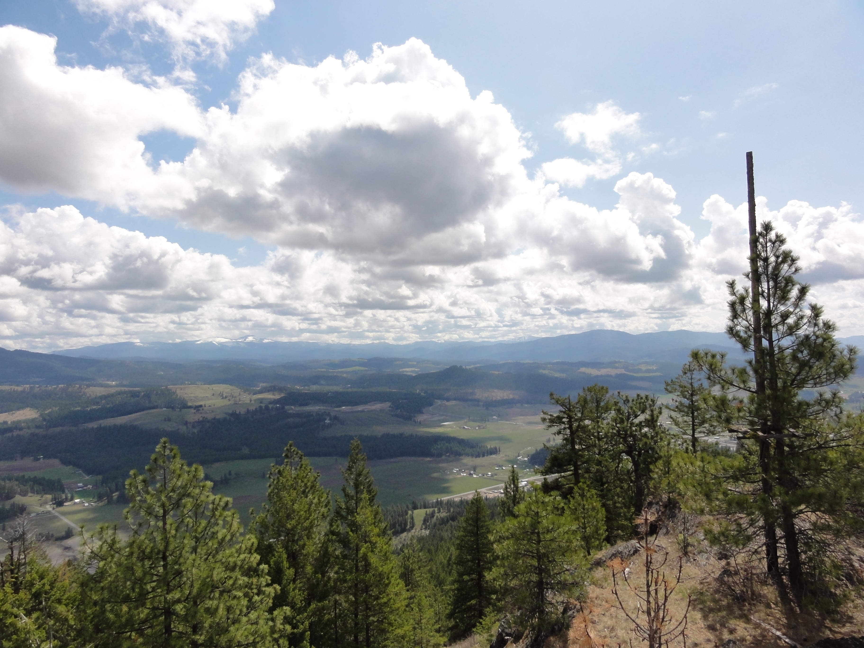
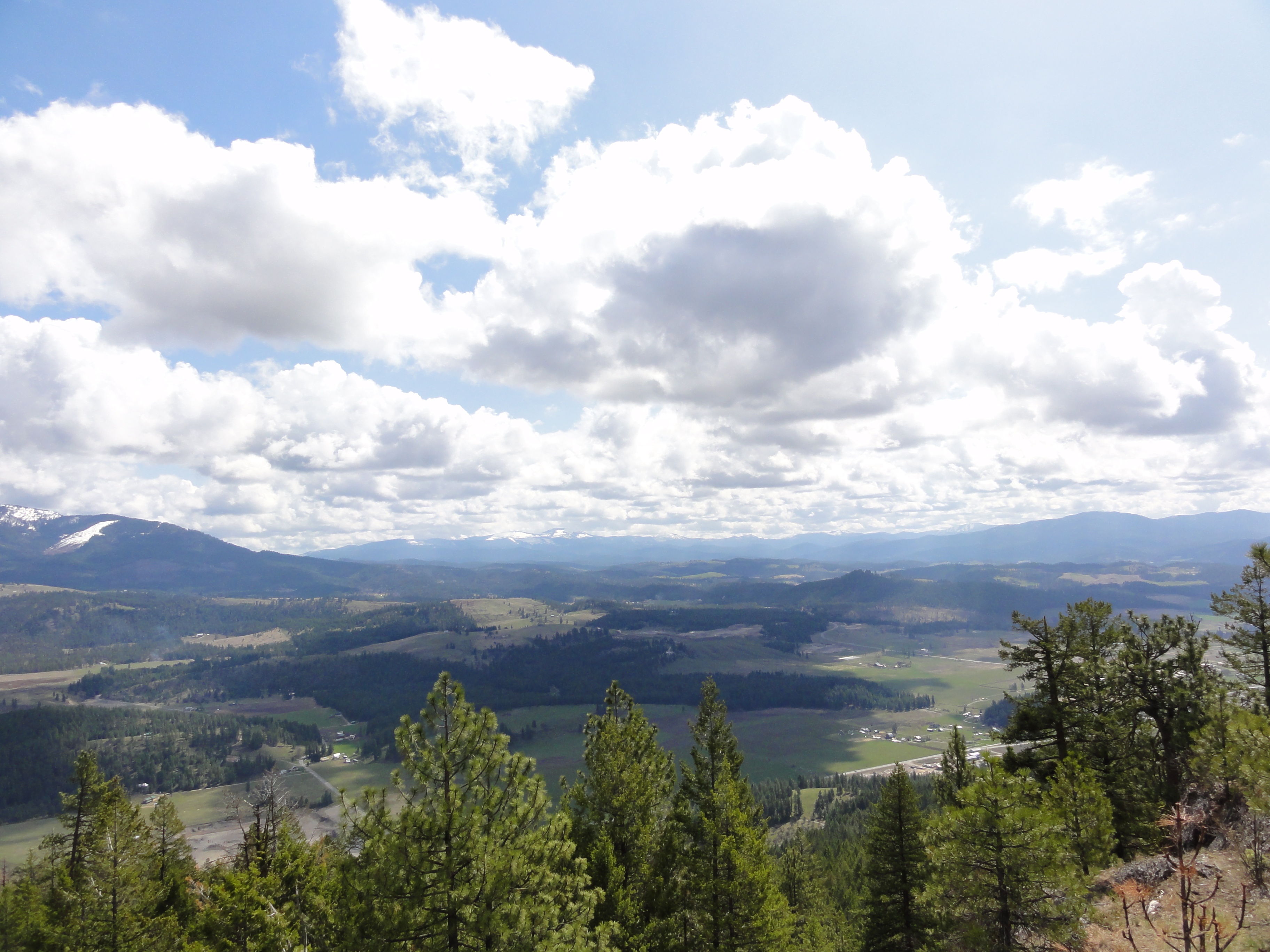
View from part way up array
View from part way up array
View from part way up array
View from part way up array
2007.07.27 Konica 004
View From Bacon Bicycle Hostel
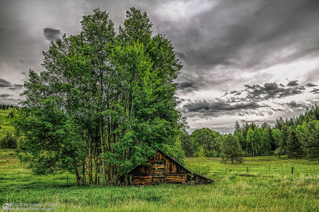
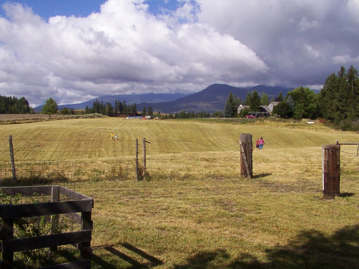
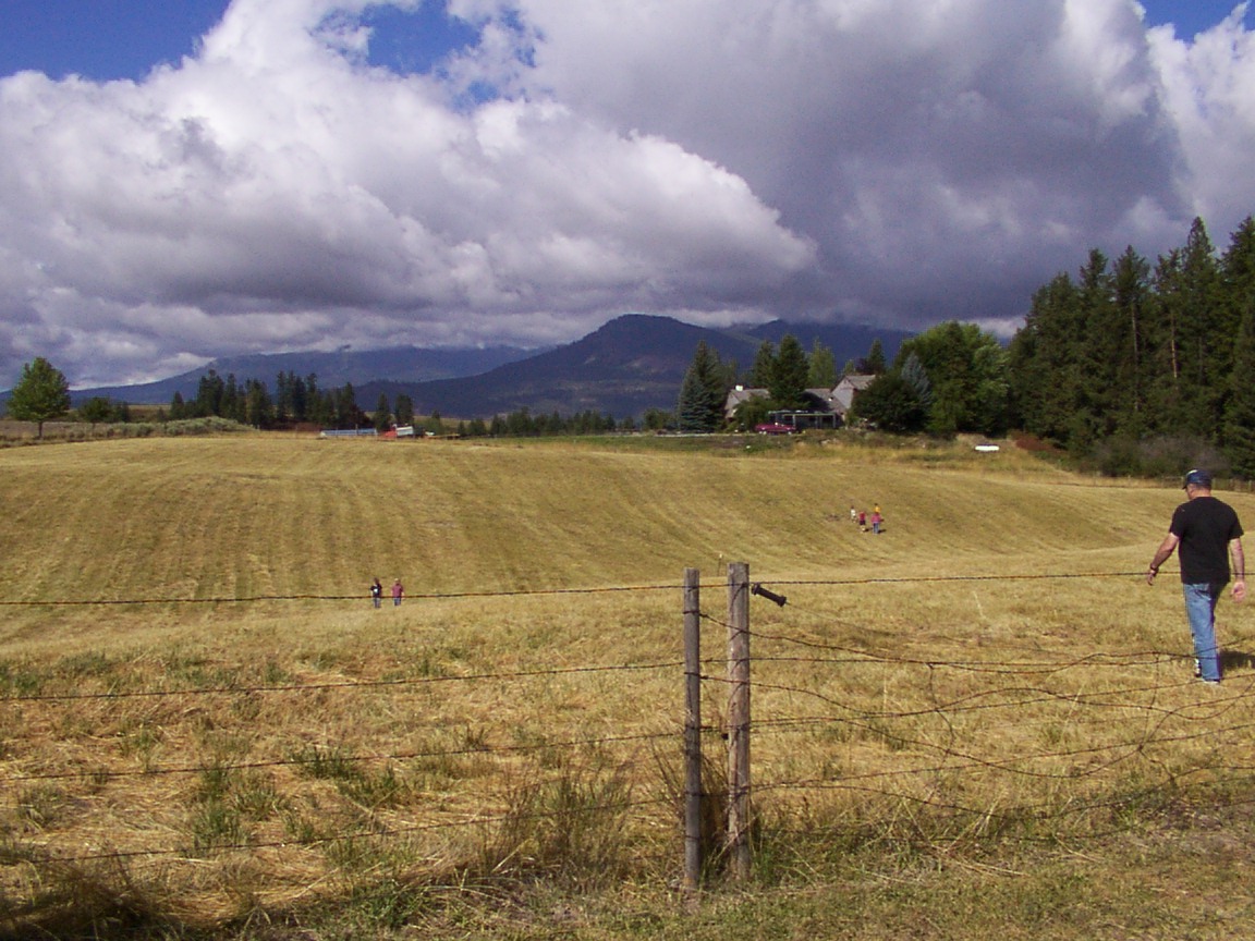
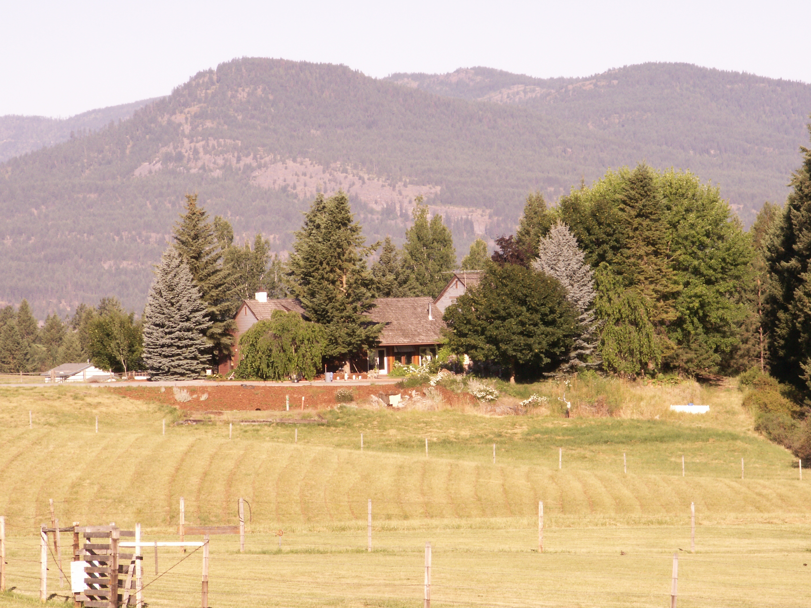
Barn - Colville, Washington
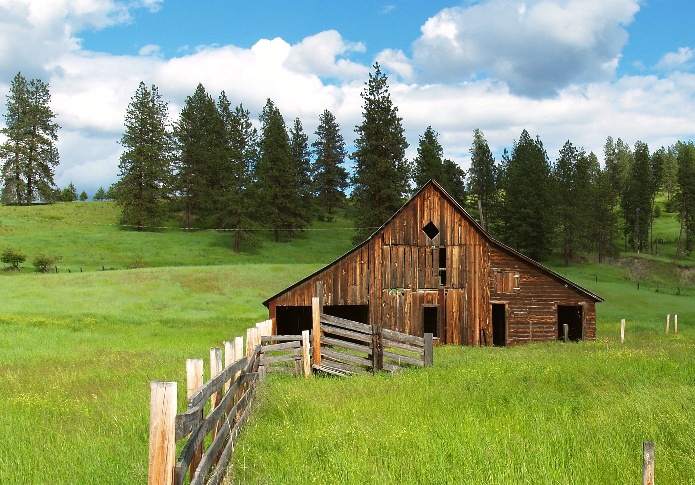
Country Barn
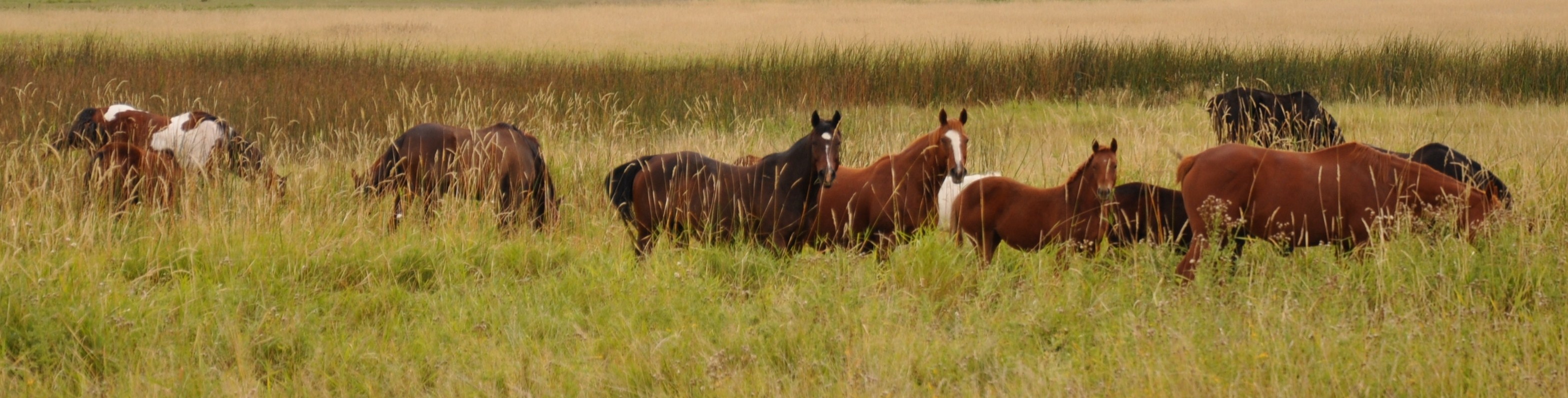
Grazing Interest
Up the hill
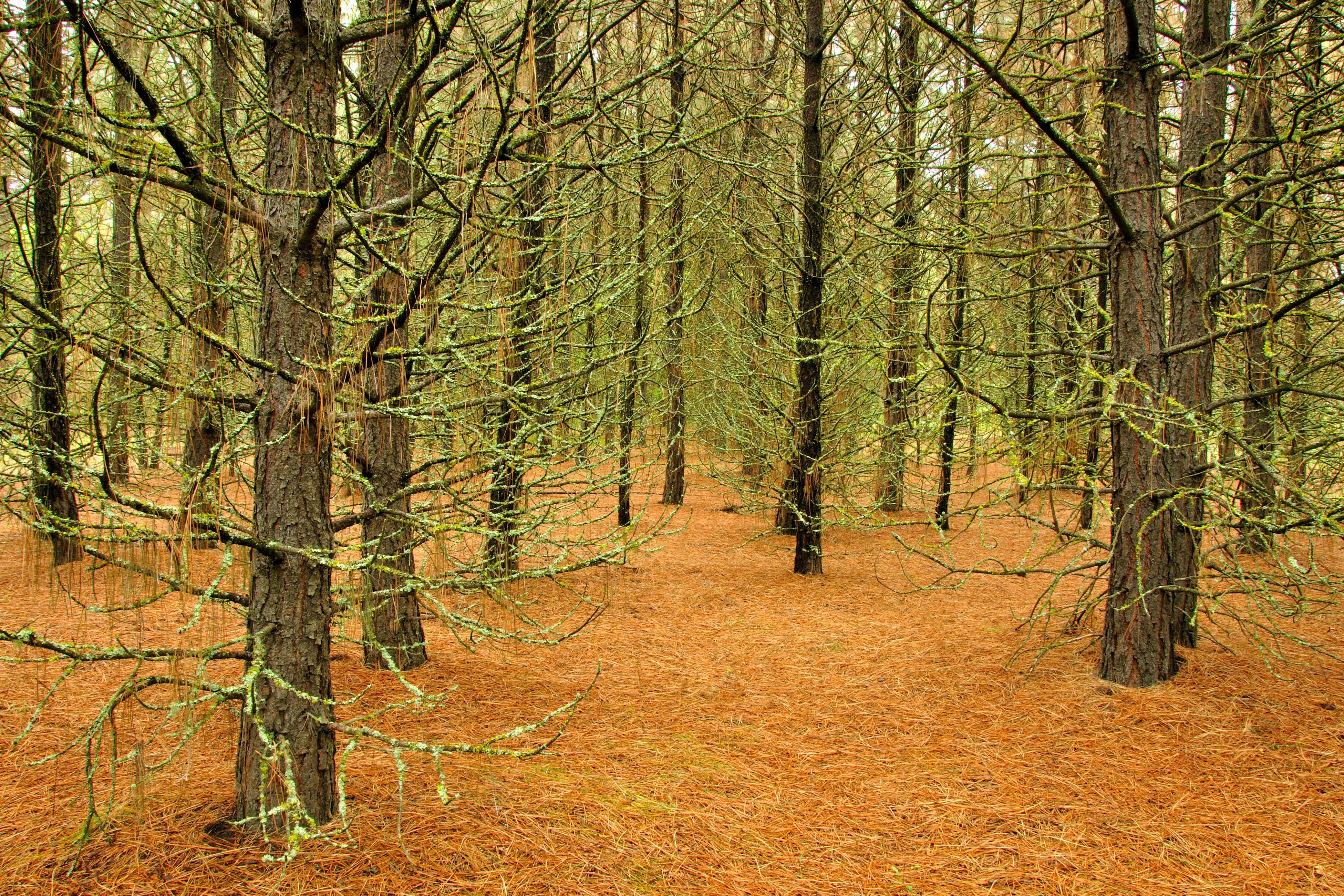
Pines ‘n’ Needles
on Grass
Highland Knoll
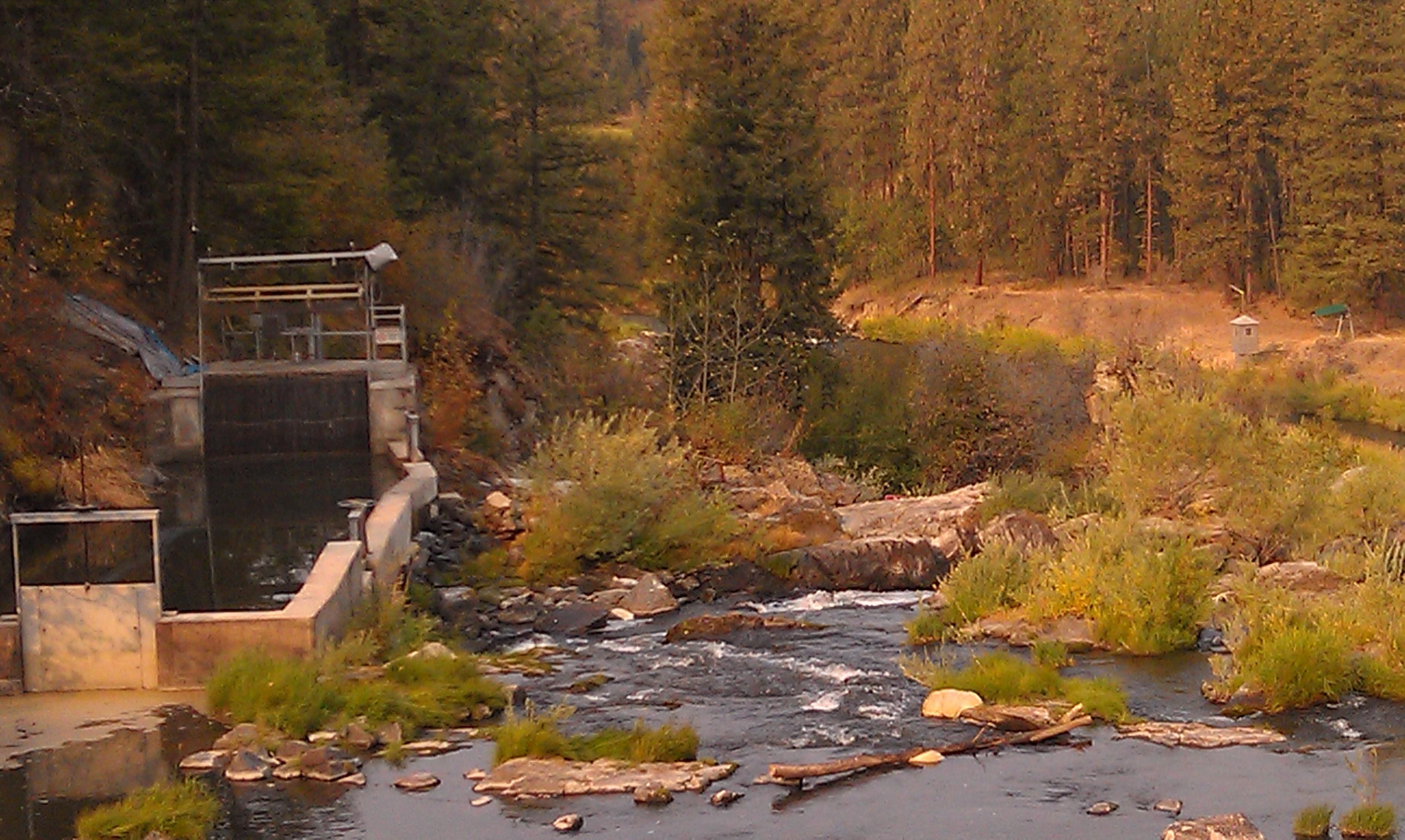
Meyers Falls Hydroelectric Development- Stevens County WA (6)

Moving Water
20040813 019
20040813 021
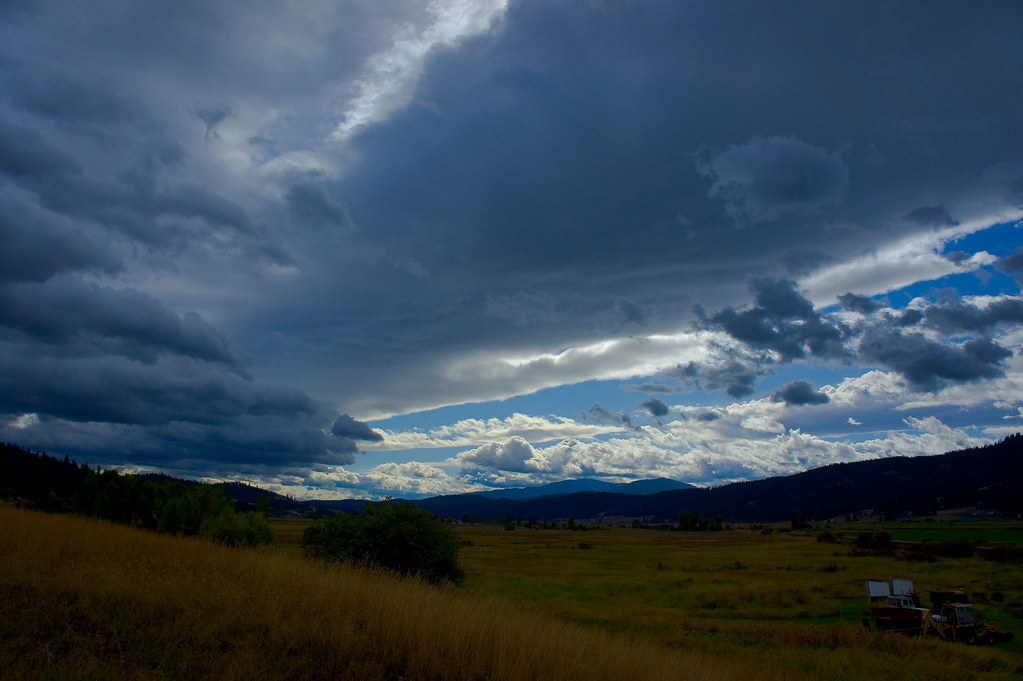
Parting Storms
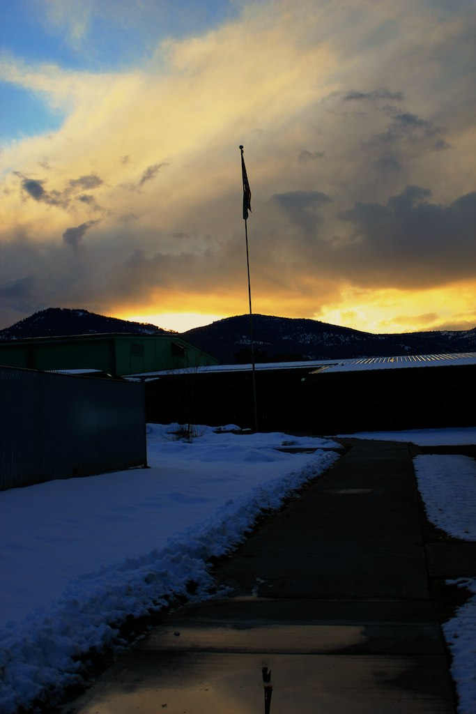
The Day's End
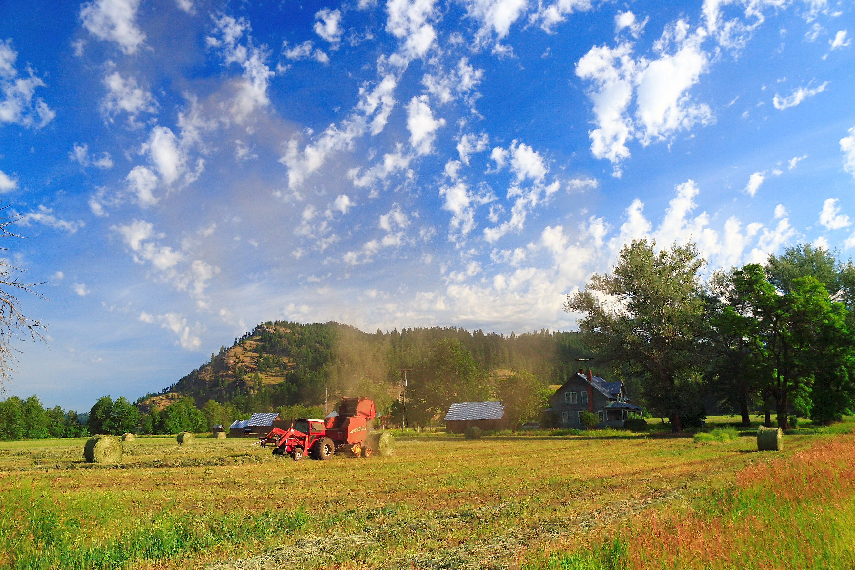
Dirty Work

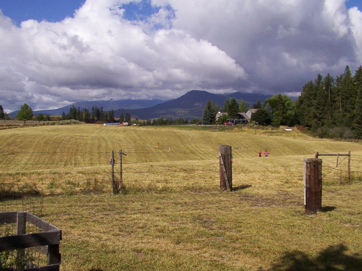
gbs_20100808_8846.jpg
20040813 020
2006.08.27 Konica 039
Topographic Map of Valley-Westside Rd, Colville, WA, USA
Find elevation by address:

Places near Valley-Westside Rd, Colville, WA, USA:
Orin-Rice Rd, Colville, WA, USA
980 S Main St
100 N Main St
259 N Wynne St
256 N Wynne St
Washington 20
Colville
280 Corbett Creek Rd
Walmart Supercenter
839 Wa-20
828 N Walnut St
823 Orin-rice Rd
Stevens County
Gold Creek Loop Road
Aladdin Rd, Colville, WA, USA
786 Arden Butte Rd
751 Highland Loop Rd
958 Hockersmith Rd
Greenwood Loop Rd, Kettle Falls, WA, USA
957 Kitt-narcisse Rd
Recent Searches:
- Elevation of 30 Oak Lawn Dr, Barkhamsted, CT, USA
- Elevation of Luther Road, Luther Rd, Auburn, CA, USA
- Elevation of Unnamed Road, Respublika Severnaya Osetiya — Alaniya, Russia
- Elevation of Verkhny Fiagdon, North Ossetia–Alania Republic, Russia
- Elevation of F. Viola Hiway, San Rafael, Bulacan, Philippines
- Elevation of Herbage Dr, Gulfport, MS, USA
- Elevation of Lilac Cir, Haldimand, ON N3W 2G9, Canada
- Elevation of Harrod Branch Road, Harrod Branch Rd, Kentucky, USA
- Elevation of Wyndham Grand Barbados Sam Lords Castle All Inclusive Resort, End of Belair Road, Long Bay, Bridgetown Barbados
- Elevation of Iga Trl, Maggie Valley, NC, USA