Elevation of B Hesseltine Rd, Springdale, WA, USA
Location: United States > Washington > Stevens County > Springdale >
Longitude: -117.78767
Latitude: 48.0784531
Elevation: 646m / 2119feet
Barometric Pressure: 94KPa
Elevation Map:
Satellite Map:
Related Photos:

Waitts Lake Winter_2019_03_02

Chewelah Turn...part 2!

Curvy Yard Limits

The moving weather
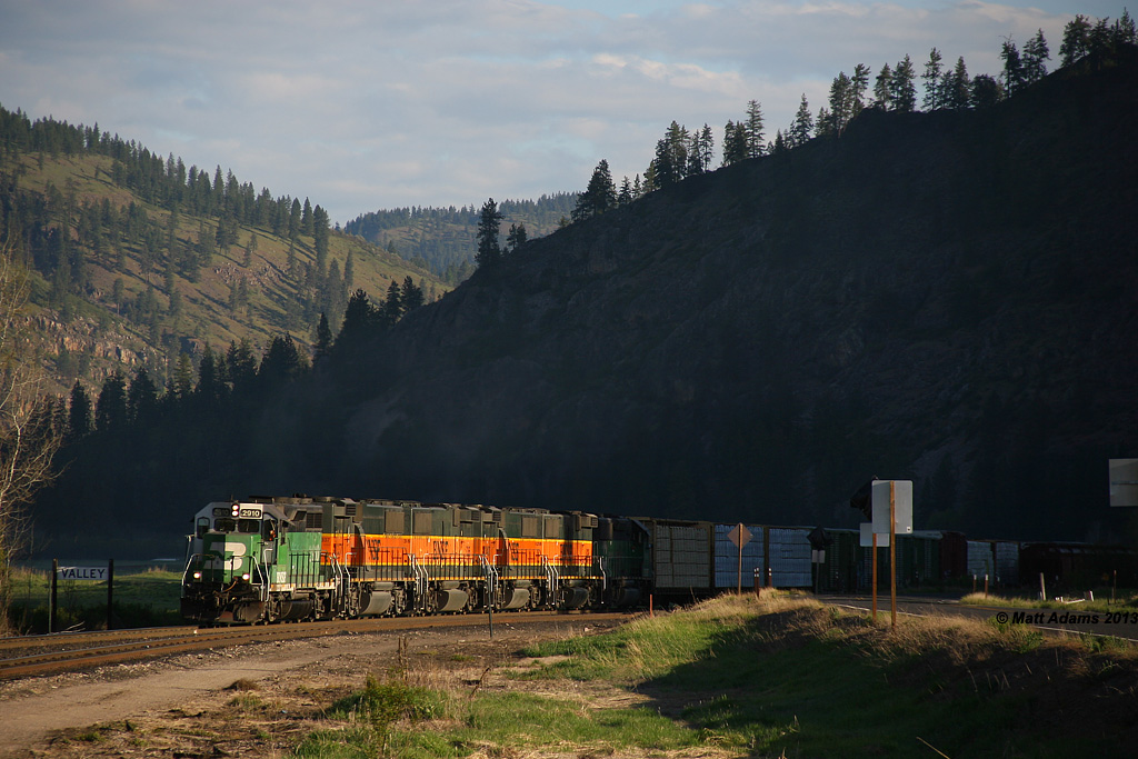
Arriving Valley (1)

Arriving Valley (2)

North East Washington

BNSF M-CWHSPO1-03A

BNSF M-CWHSPO1-03A

Waitts Lake
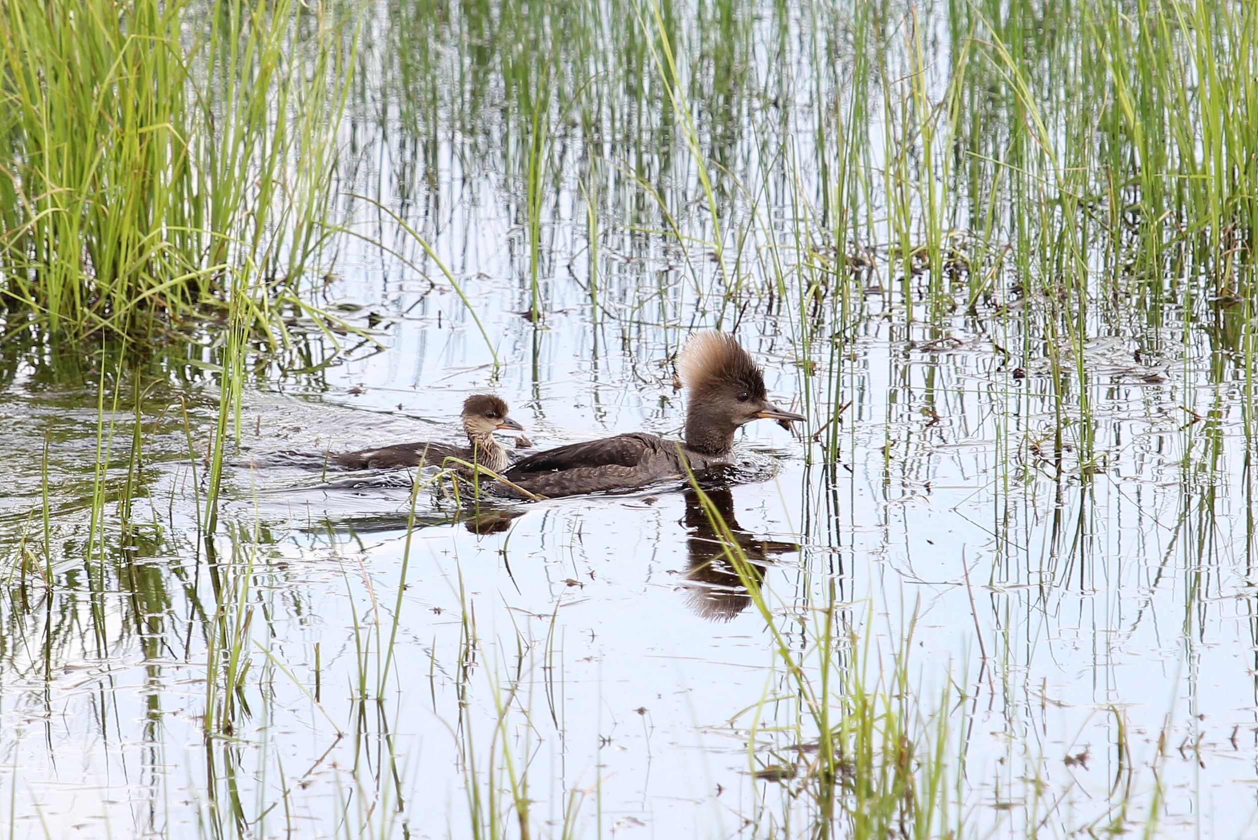
Unidentified Merganser

Barnyard Turn

Chewelah Valley

Ummm...yes. A camel.
Topographic Map of B Hesseltine Rd, Springdale, WA, USA
Find elevation by address:

Places near B Hesseltine Rd, Springdale, WA, USA:
4121 Springdale Hunters Rd
Springdale
4583 Springdale Hunters Rd
Valley
3157 Red Marble Rd
Loon Lake
5226 Springdale Hunters Rd
Ford
4339 Grote Rd
4104 Ali Vista Way
Schmidlekofer Road
Chewelah
Tumtum
206 W Franklin Ave
Jenkins High School
U.s. 395
2312 Burnt Valley Rd
4550 Amber Way
Sand Canyon Airport
Clayton
Recent Searches:
- Elevation of Congressional Dr, Stevensville, MD, USA
- Elevation of Bellview Rd, McLean, VA, USA
- Elevation of Stage Island Rd, Chatham, MA, USA
- Elevation of Shibuya Scramble Crossing, 21 Udagawacho, Shibuya City, Tokyo -, Japan
- Elevation of Jadagoniai, Kaunas District Municipality, Lithuania
- Elevation of Pagonija rock, Kranto 7-oji g. 8"N, Kaunas, Lithuania
- Elevation of Co Rd 87, Jamestown, CO, USA
- Elevation of Tenjo, Cundinamarca, Colombia
- Elevation of Côte-des-Neiges, Montreal, QC H4A 3J6, Canada
- Elevation of Bobcat Dr, Helena, MT, USA