Elevation of Springbrook, ON K0K, Canada
Location: Canada > Ontario > Hastings County > Stirling-rawdon >
Longitude: -77.613346
Latitude: 44.400168
Elevation: 166m / 545feet
Barometric Pressure: 99KPa
Elevation Map:
Satellite Map:
Related Photos:
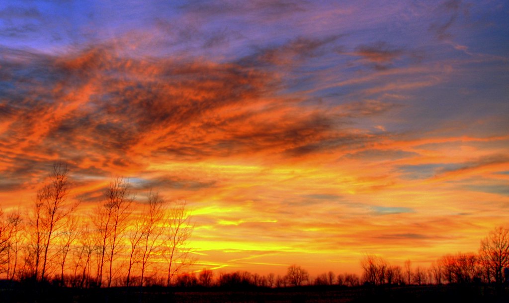
Winter sunset

Yellow And Blue

Trent River, viewing downstream

Whistling Swans, Glen Ross, Ontario_9341

Trent River, viewing dam upstream
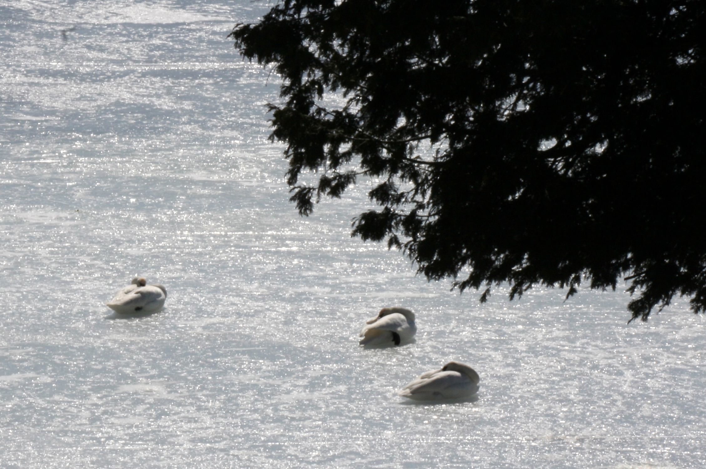
Whistling Swans, Glen Ross, Ontario_9340

Ice Storm, Rime on Lilac Bushes_9229

2017-35 Stirling

2014-52-43

Whistling Swans, Glen Ross, Ontario_9342

Beautiful Sunset

Crowe Lake_0339

Trent Hills Gap

Grand View Health Resort

Stirling Christmas 2009_0002

Hastings County Ploughing Match 2008 071
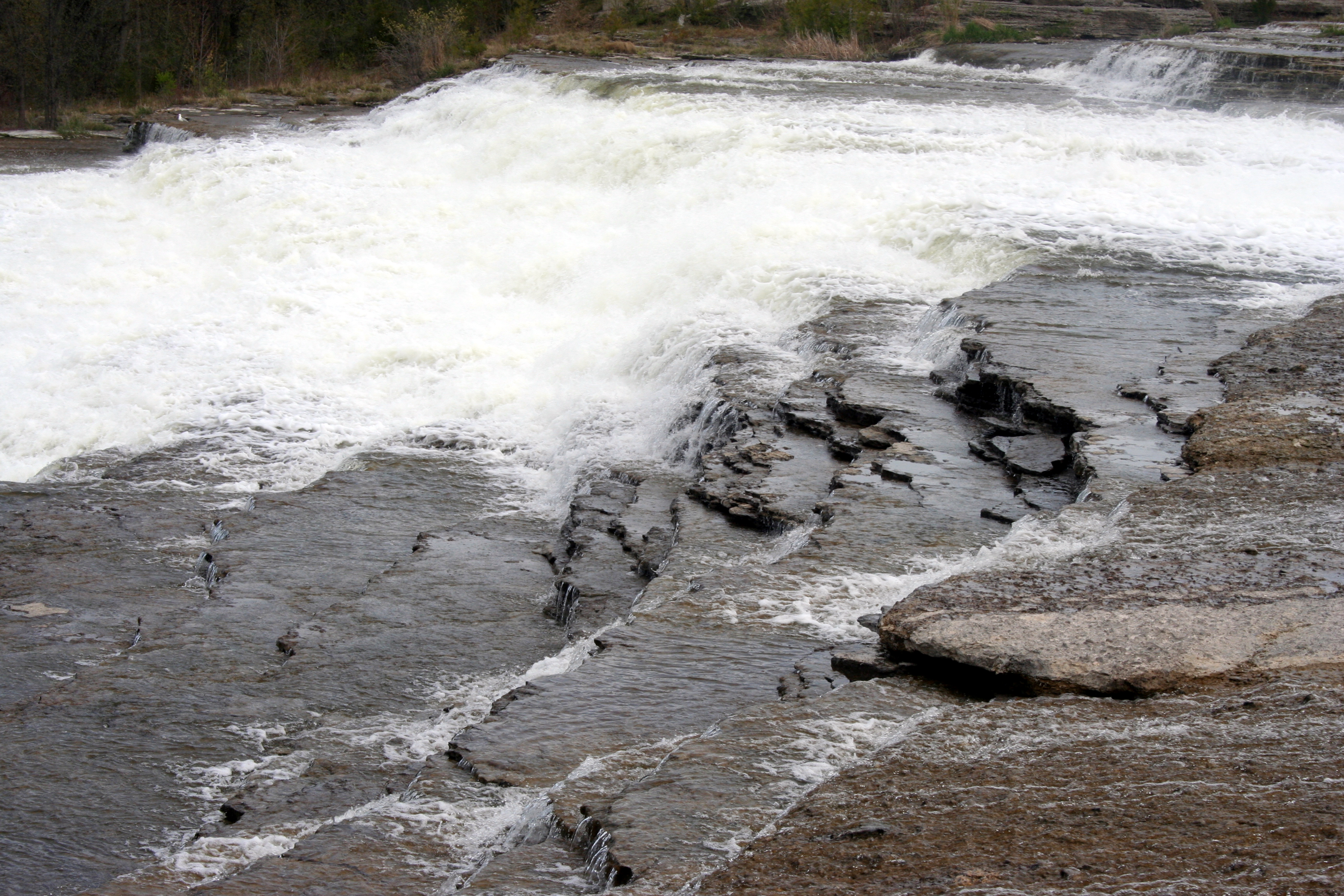
Healey Falls_4526

Blue Jay_0711

Blue Jay_0709

Worn-out earth-mover tires - Marmoraton open-pit iron-ore mine, Hastings County, Ontario.

Our backyard at sunset (oct 2nd)

oharas mill pond panorama

Healey Falls

Marmoraton worked-out iron-ore mine - Hastings County, Ontario..
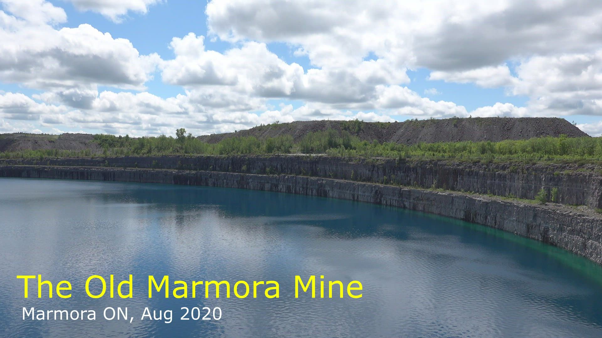
Marmora Mine [1:28 mins]

Old Mine at Marmora

Old Mine at Marmora

Cut field

Clouds Oak Hill 2

Tree on Nothumberland County 6th Line East_7956

Crowe Lake_9812

Marmora Open Pit Mine

Hayfield, Stirling-Rawdon Ontario_9920
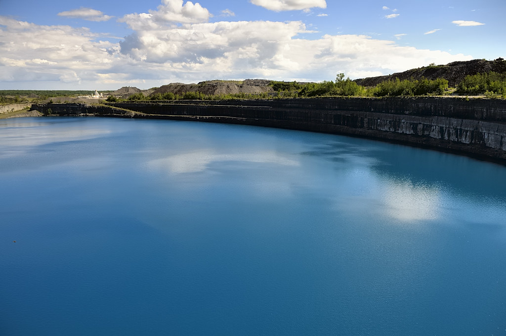
Marmoraton abandoned flooded open-pit iron-ore mine - Hastings County, Ontario.

morning at crowe lake
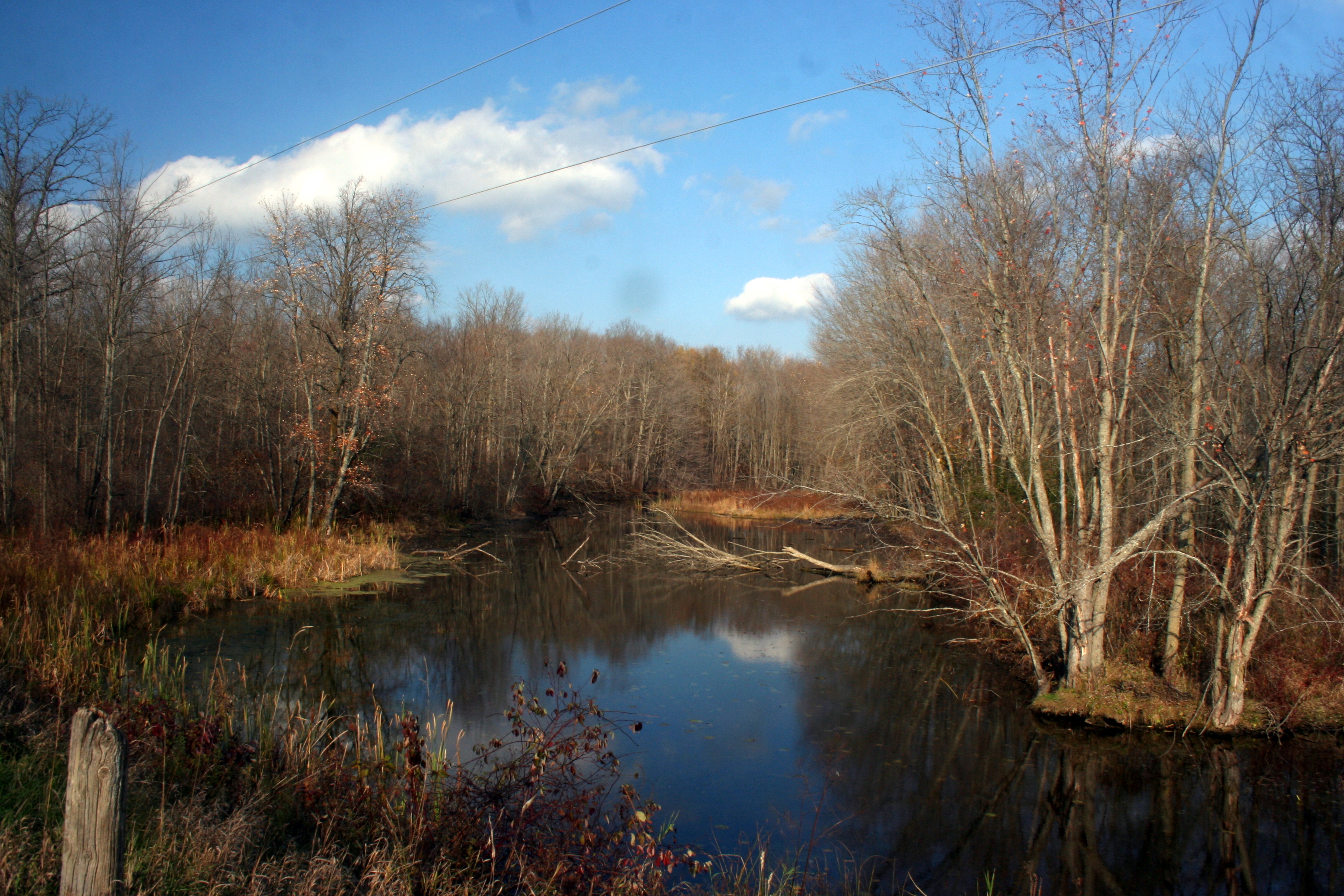
Hoard's Creek, Autumn_5669

Crowe Lake_9800

Plowing Match Grounds, Stirling Ontario_8698

Cruising the Trent River_8639
Topographic Map of Springbrook, ON K0K, Canada
Find elevation by address:

Places near Springbrook, ON K0K, Canada:
2699 Spring Brook Rd
Stirling-rawdon
Storms Road
Greensides Farm
660 Rylstone Rd
660 Rylstone Rd
660 Rylstone Rd
Marmora
Deloro Mine Site
2883 13th Line E
Ontario 14
Stirling
212 Whispering Waters Rd
283 A Marble Point Rd
198 Whispering Waters Rd
87 Lakeshore Rd
76 Whispering Waters Rd
18 Whispering Waters Rd
Crowe Lake
788 Gallivan Rd
Recent Searches:
- Elevation of Elwyn Dr, Roanoke Rapids, NC, USA
- Elevation of Congressional Dr, Stevensville, MD, USA
- Elevation of Bellview Rd, McLean, VA, USA
- Elevation of Stage Island Rd, Chatham, MA, USA
- Elevation of Shibuya Scramble Crossing, 21 Udagawacho, Shibuya City, Tokyo -, Japan
- Elevation of Jadagoniai, Kaunas District Municipality, Lithuania
- Elevation of Pagonija rock, Kranto 7-oji g. 8"N, Kaunas, Lithuania
- Elevation of Co Rd 87, Jamestown, CO, USA
- Elevation of Tenjo, Cundinamarca, Colombia
- Elevation of Côte-des-Neiges, Montreal, QC H4A 3J6, Canada