Elevation of 13th Line E, Marmora, ON K0K 2M0, Canada
Location: Canada > Ontario > Hastings County > Marmora > Marmora >
Longitude: -77.725868
Latitude: 44.4074412
Elevation: 171m / 561feet
Barometric Pressure: 99KPa
Elevation Map:
Satellite Map:
Related Photos:

Peter Appleyard & Friends @ Westben
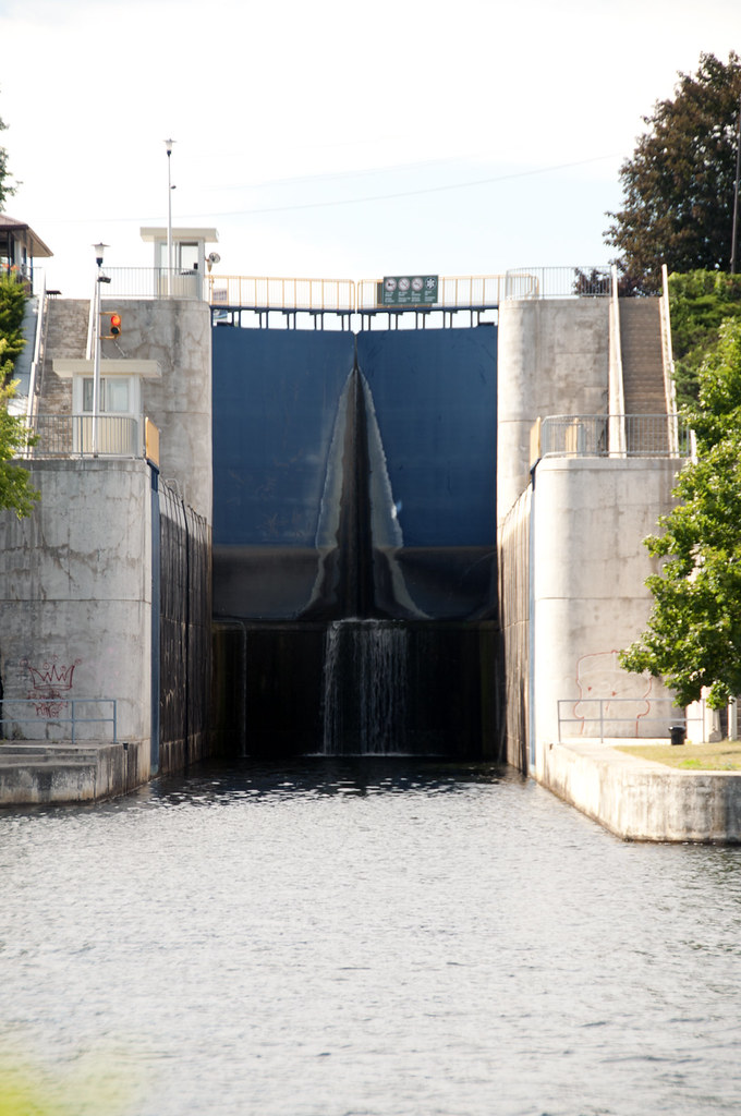
Lock Doors at Lock 12
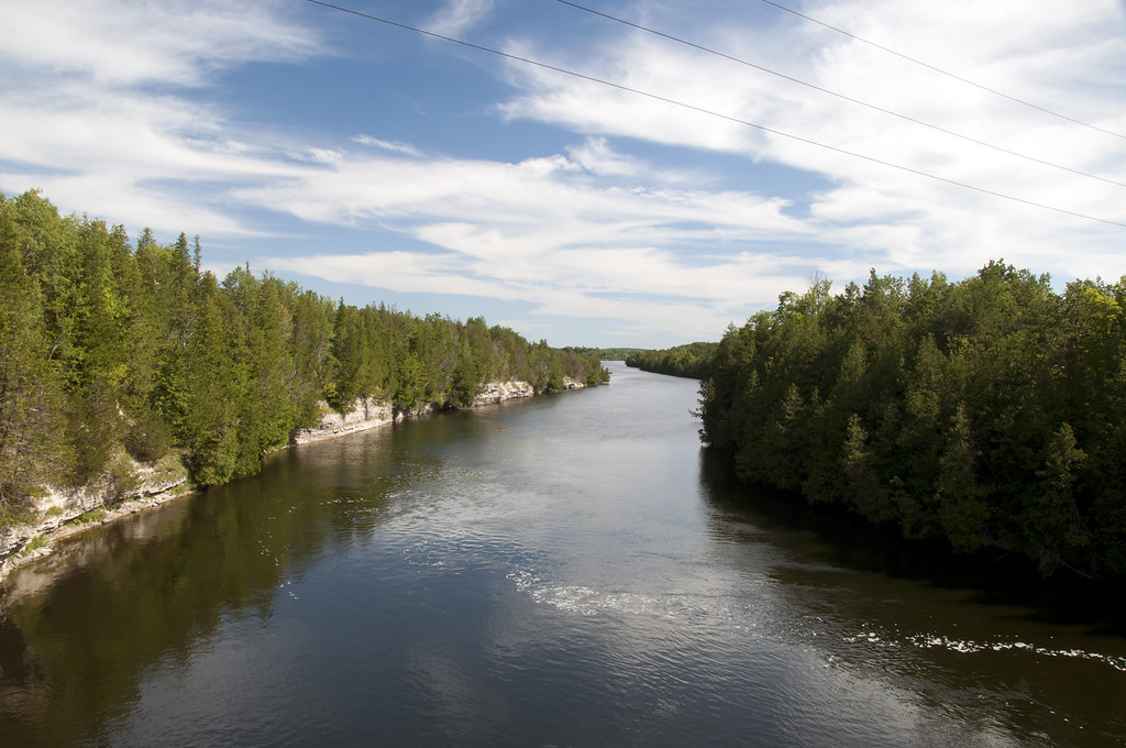
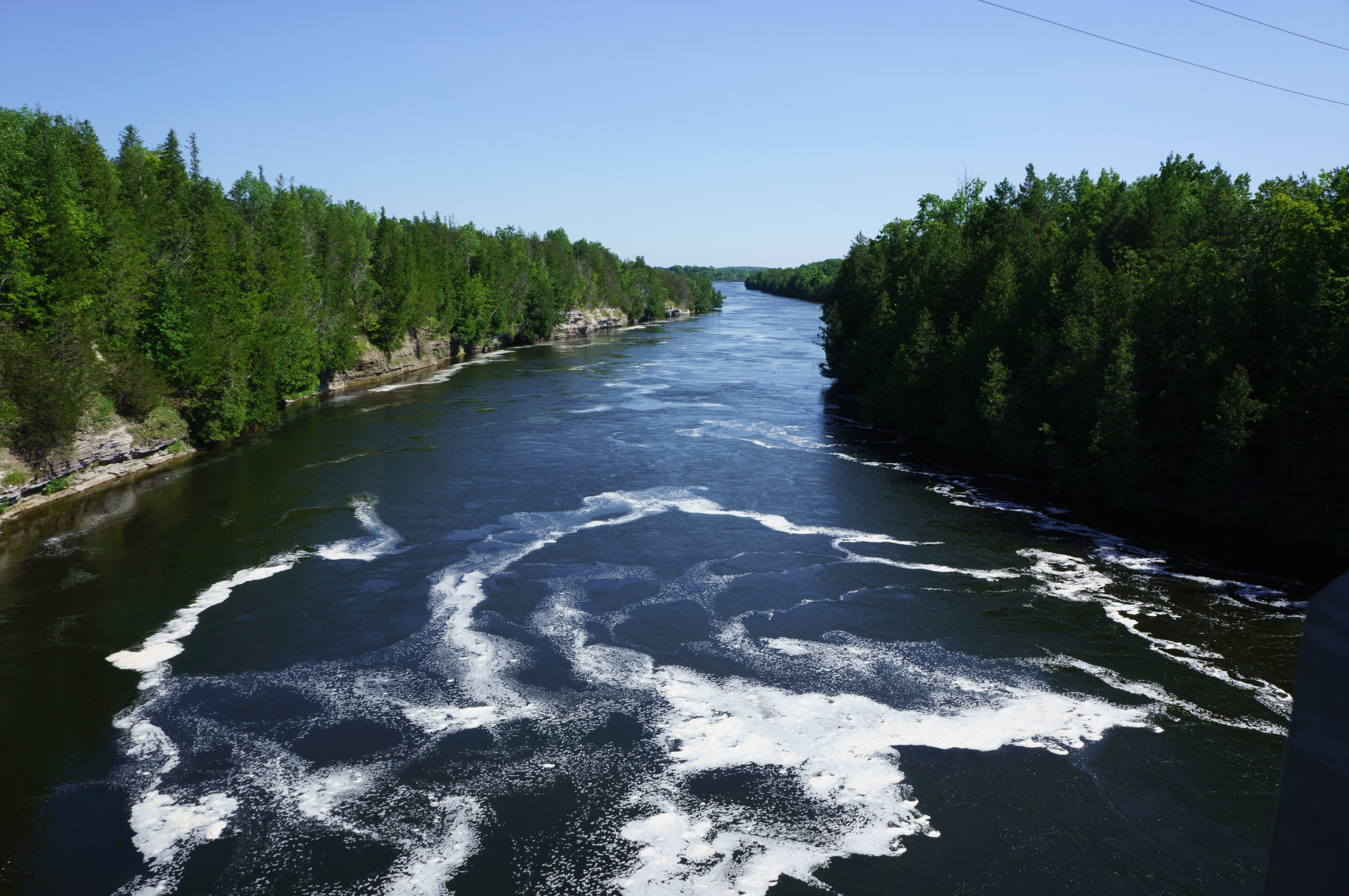
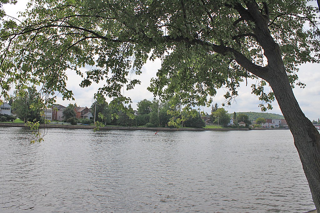
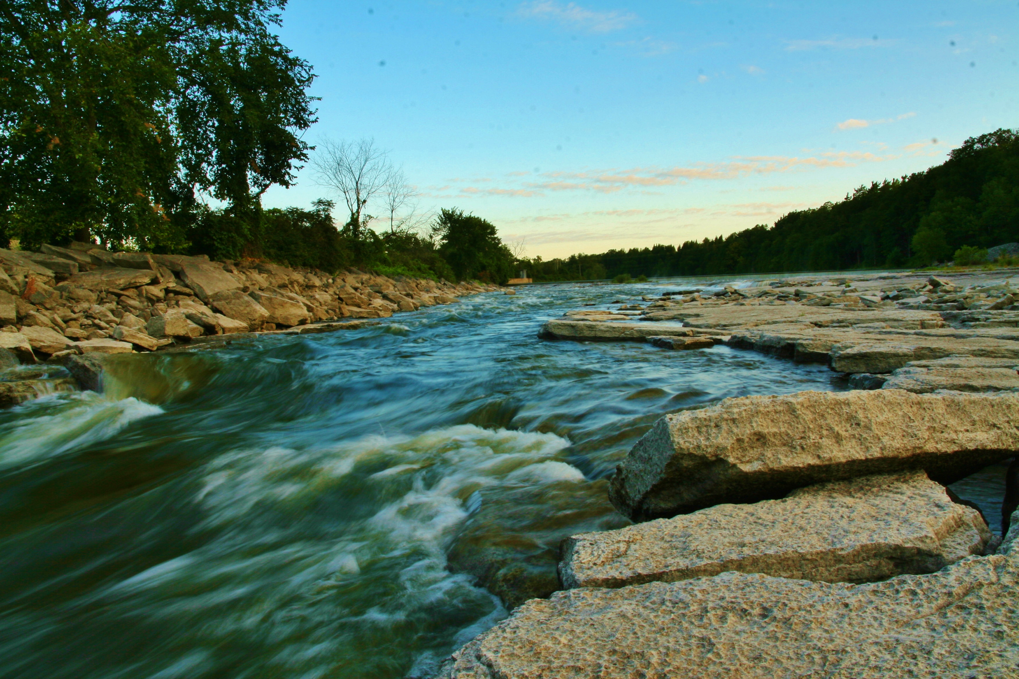
Trent River
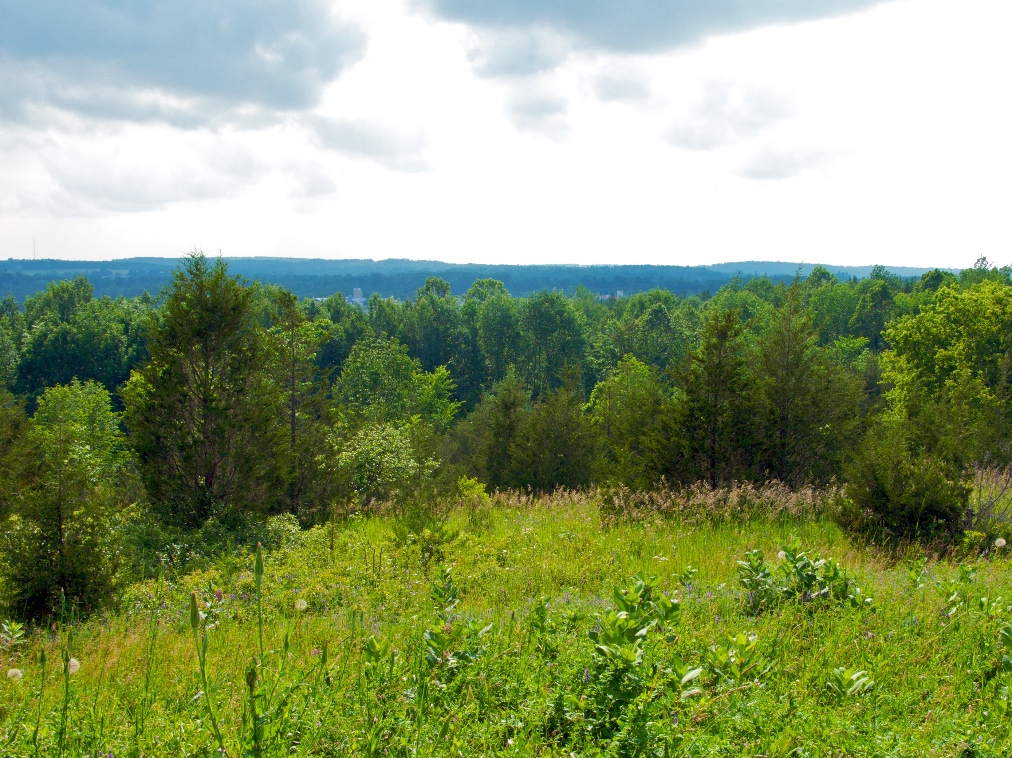
A View of the Valley
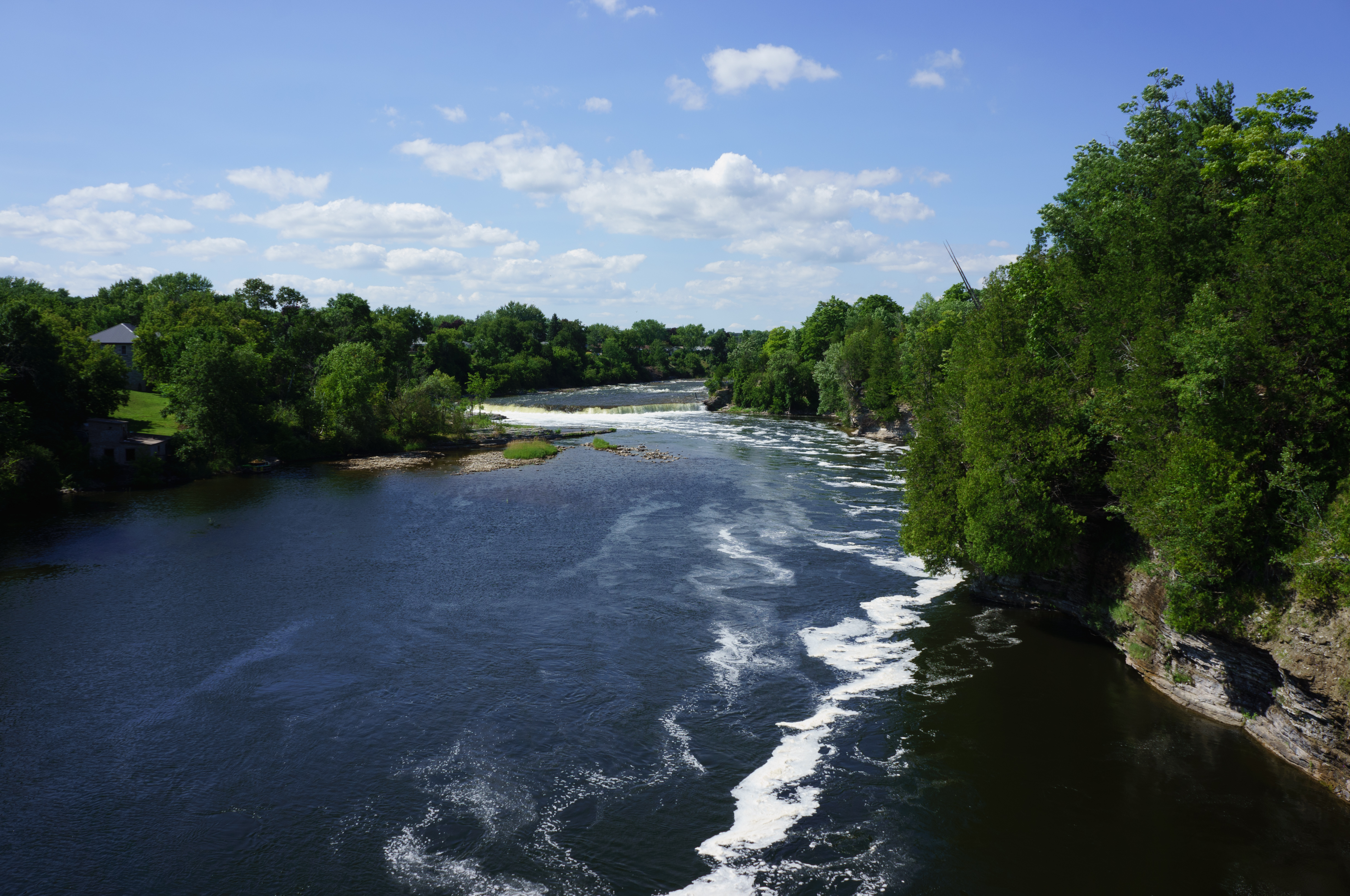
View from the Ranney Suspension Bridge
View from the Ranney Suspension Bridge
Healey Falls_4526
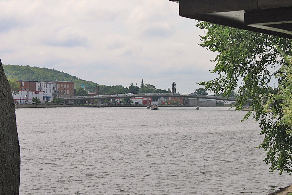
Trent Canal, Campbellford, ON_675A0061
Campbellford 2011 003
Campbellford 2011 007
Campbellford 2011 004
Campbellford 2011 005
Campbellford 2011 006
APC_1964lex.jpg

Swirls and Eddies
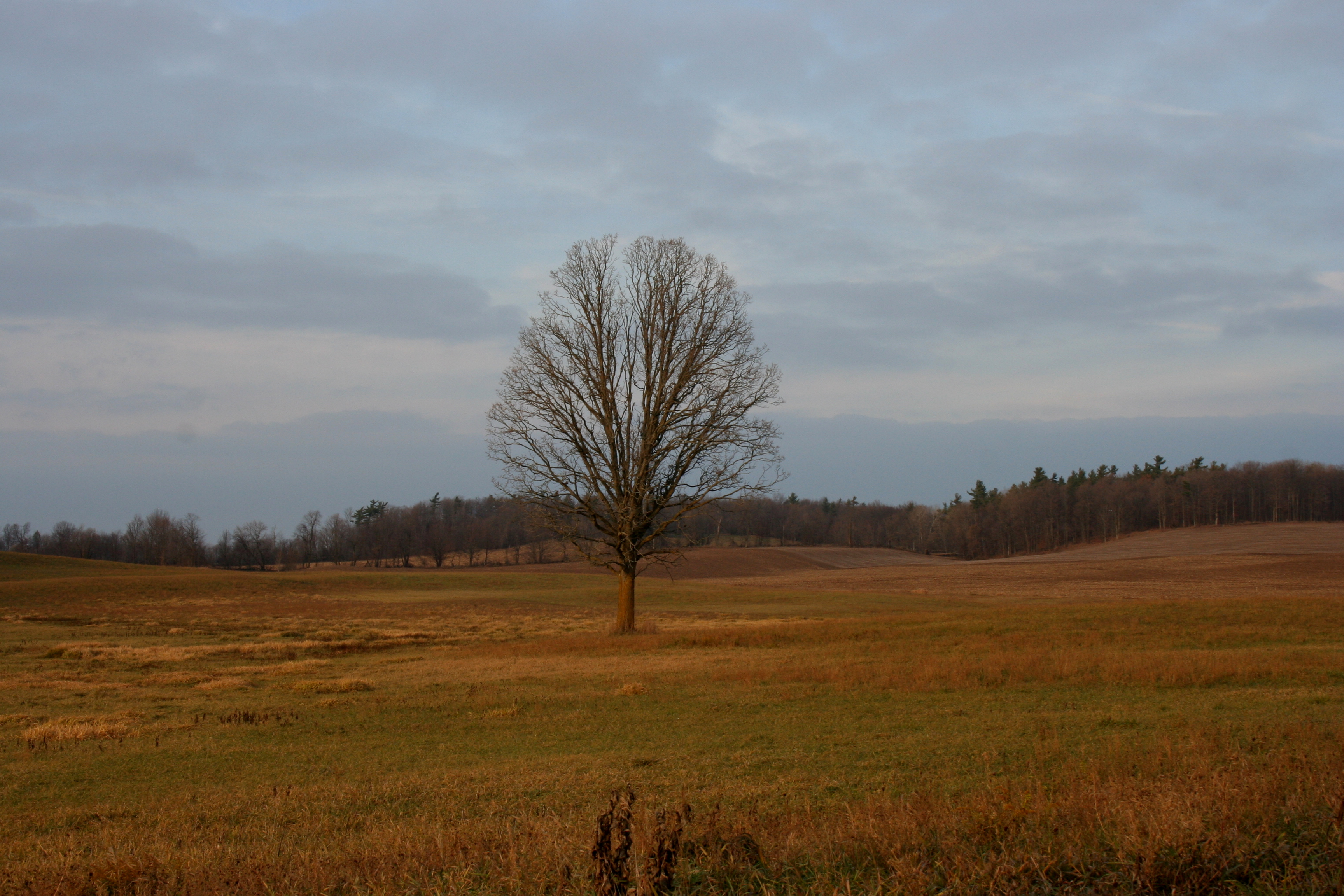
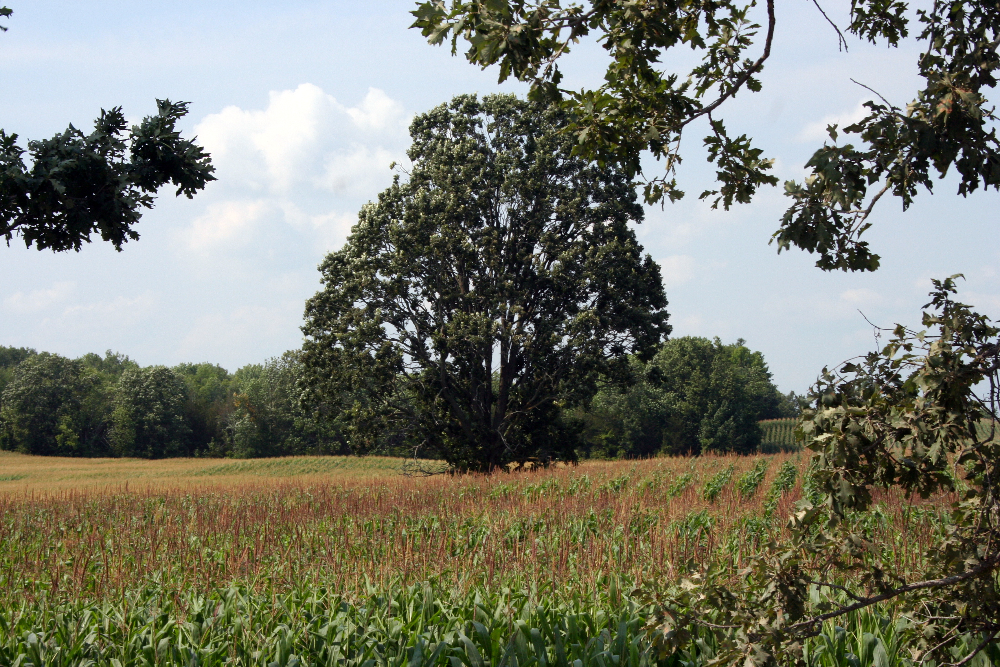
Tree on Nothumberland County 6th Line East_7956

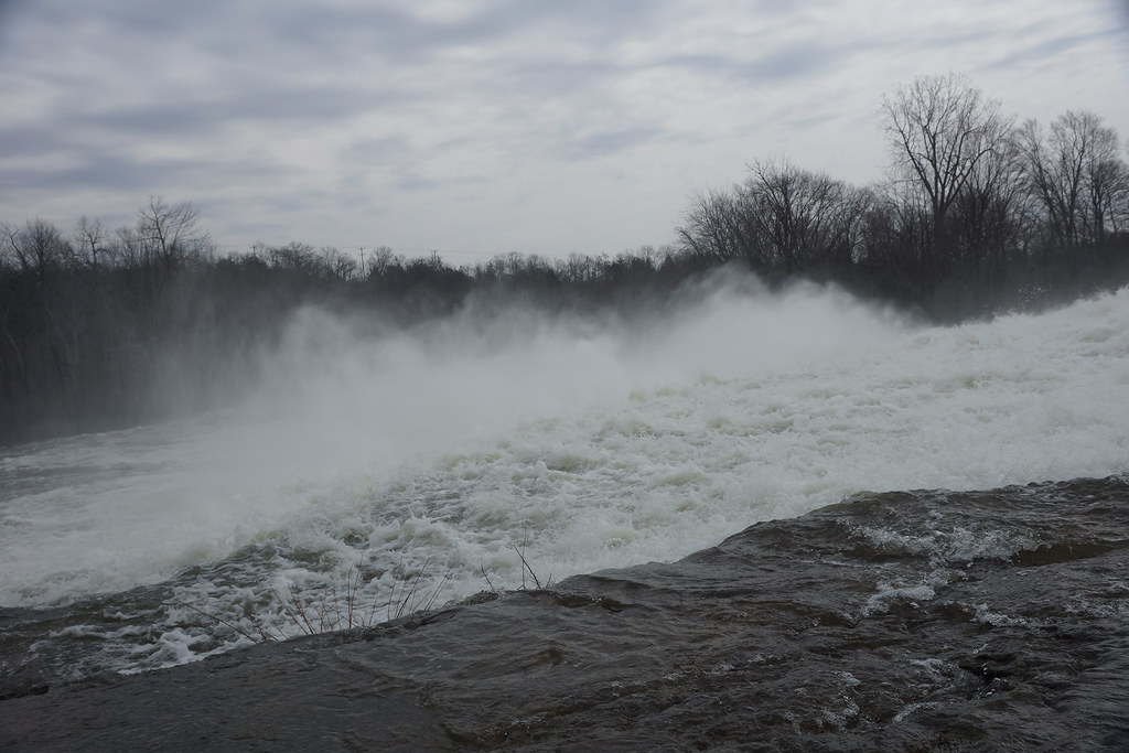
November Waterfalls

All the leaves are gone

quiet morning
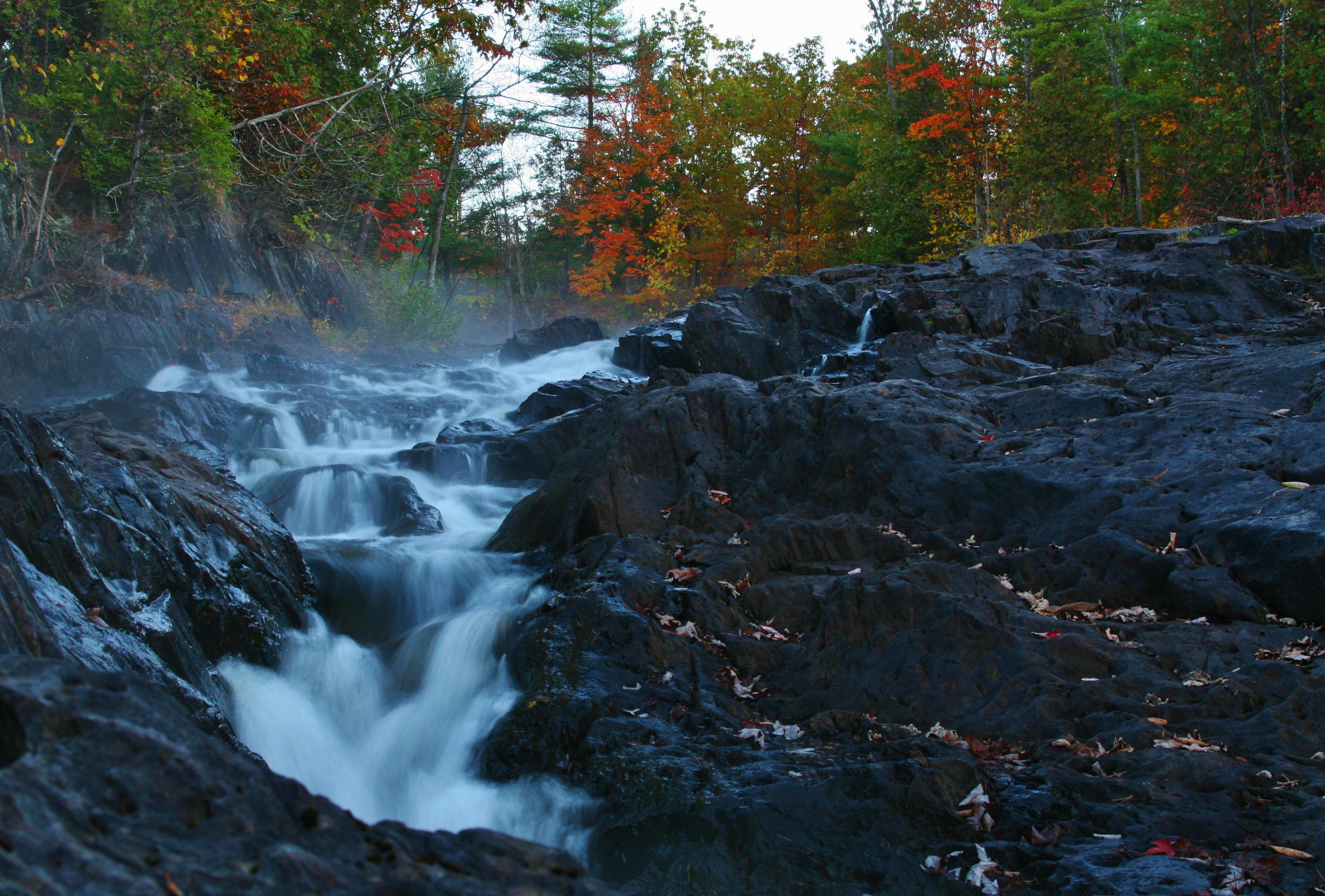
Cordova Falls 2
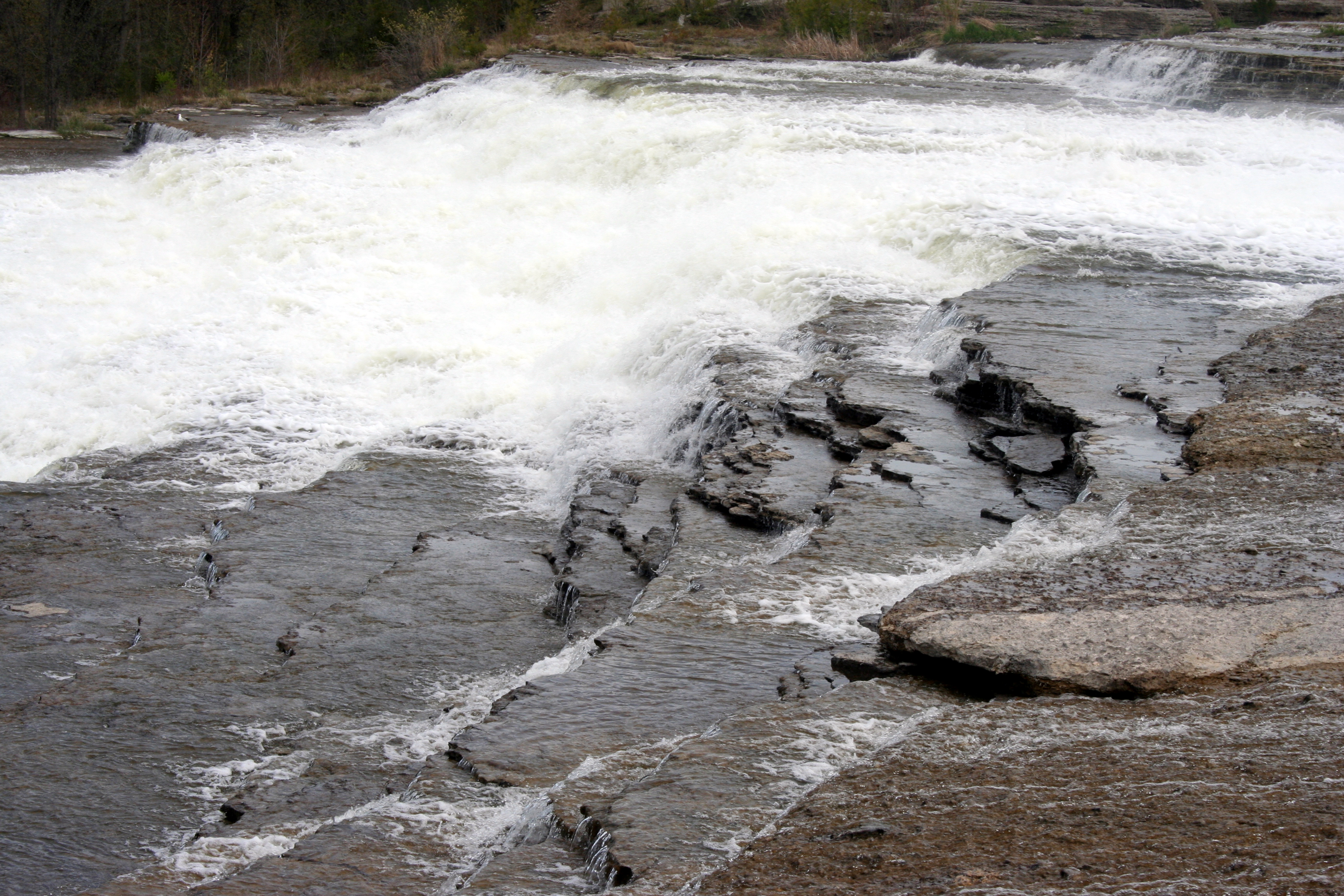
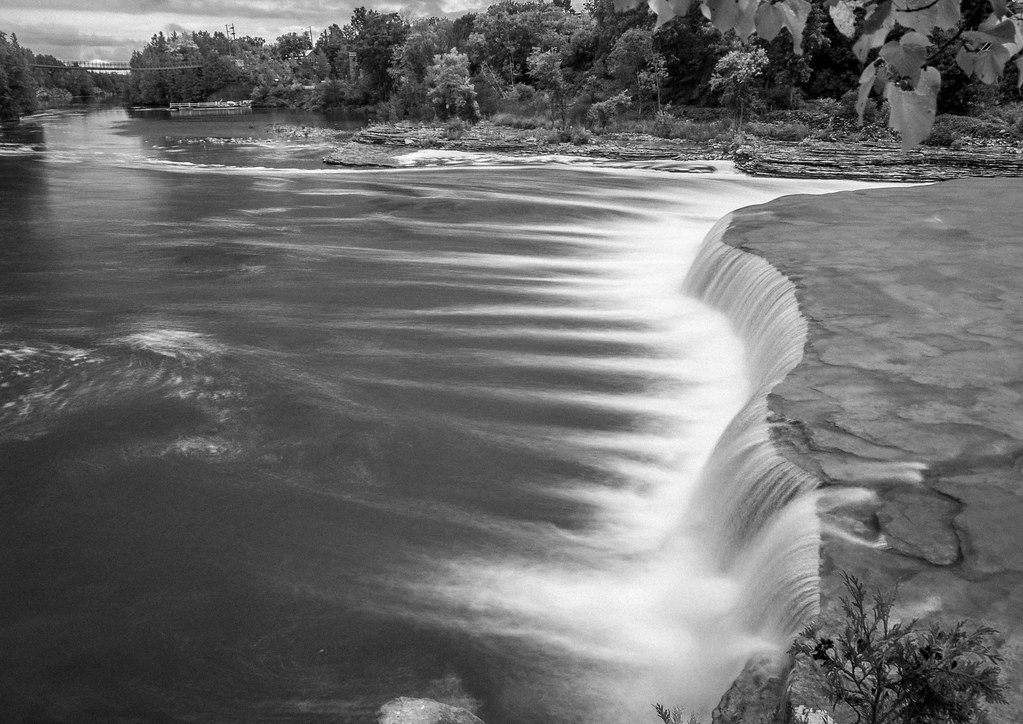
Healey Falls
Healey Falls Lock 16 & 17
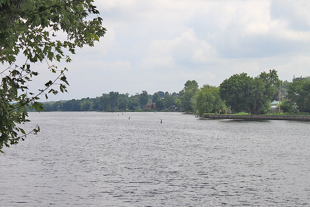
Crowe Lake_9812
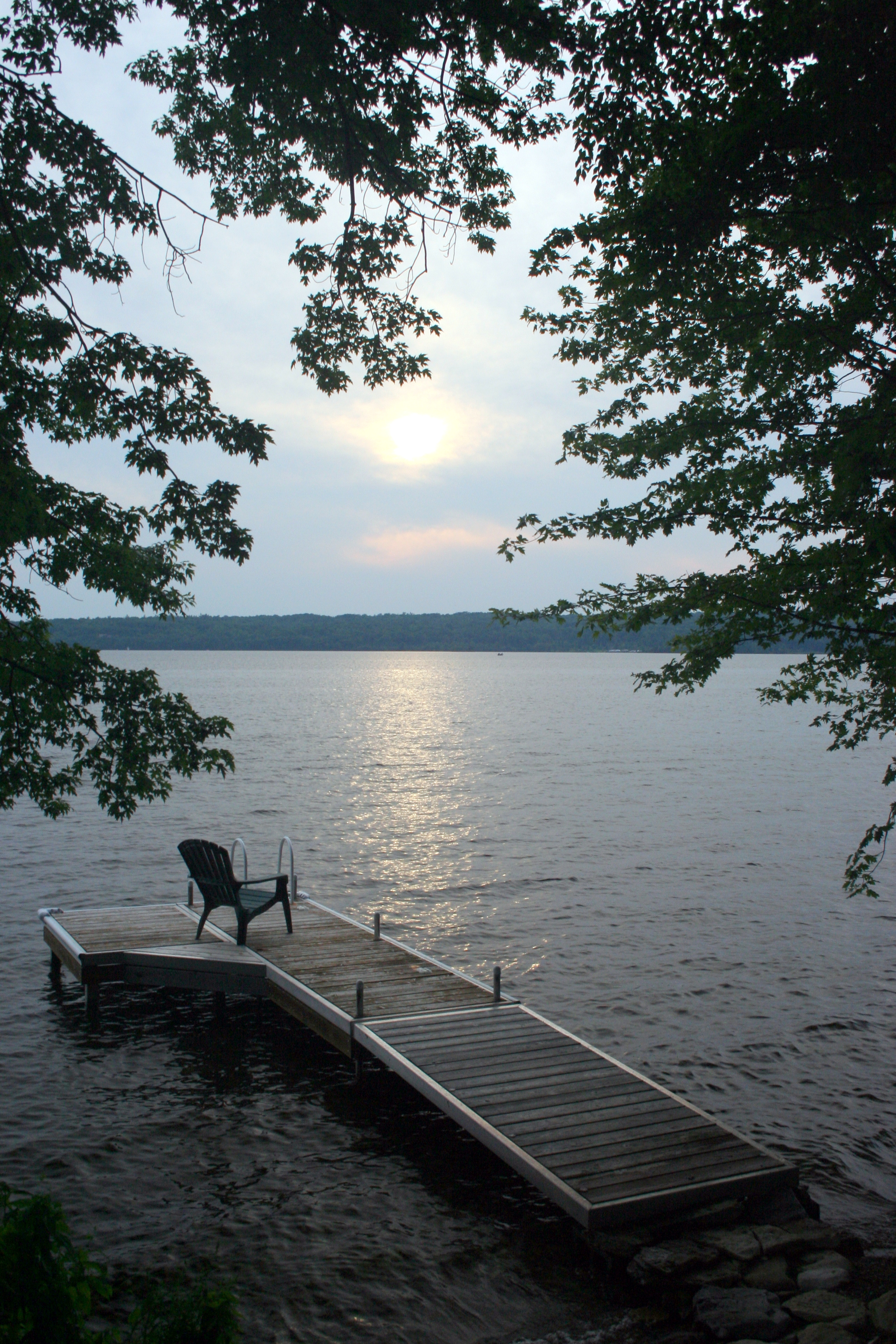
sweet freedom

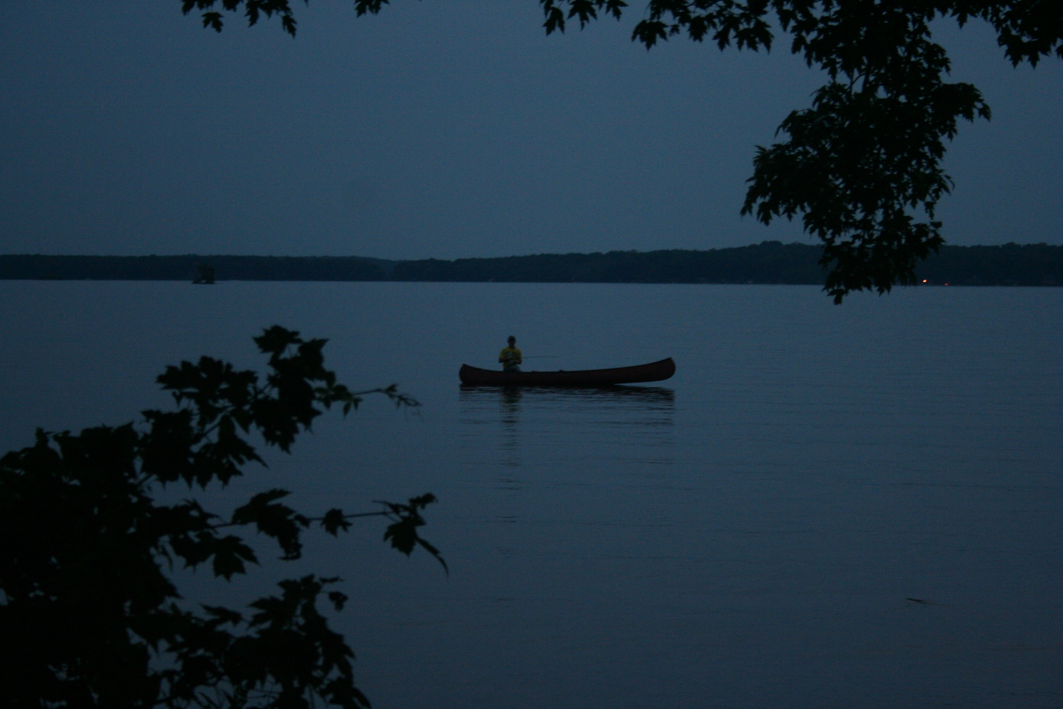
dusk at crowe lake
Crowe Lake_9800
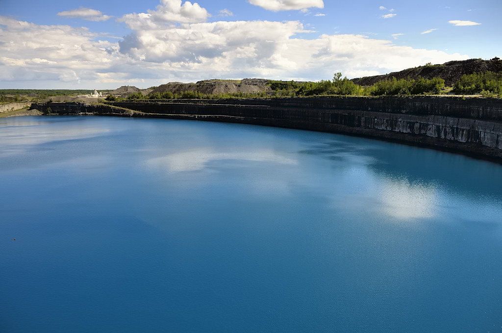
Marmoraton abandoned flooded open-pit iron-ore mine - Hastings County, Ontario.
skies of trent river
morning at crowe lake
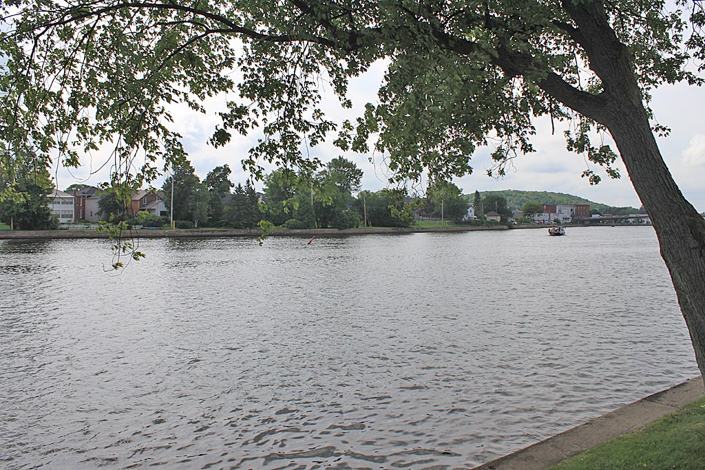
Trent River
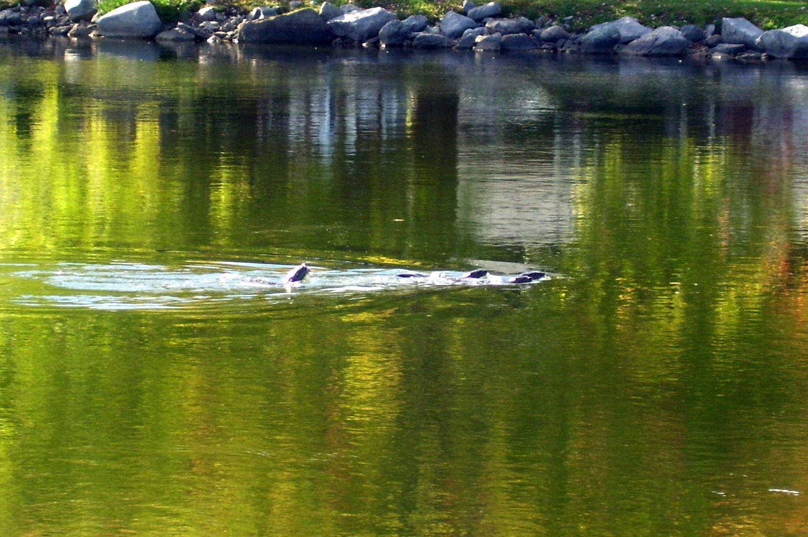
Otters, Trent Canal, Campbellford Ontario_1753
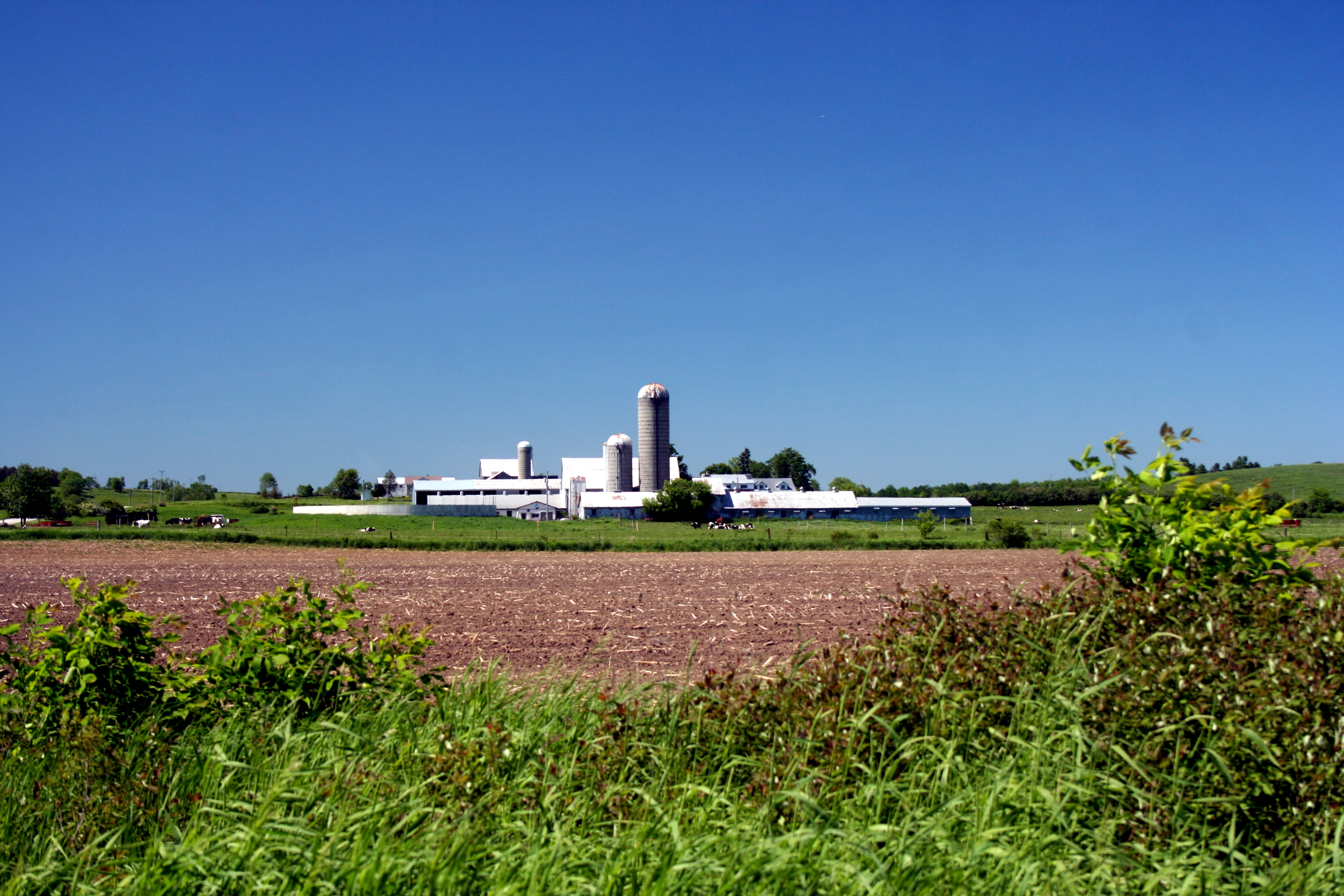
Petherwick's Road Farm_4589
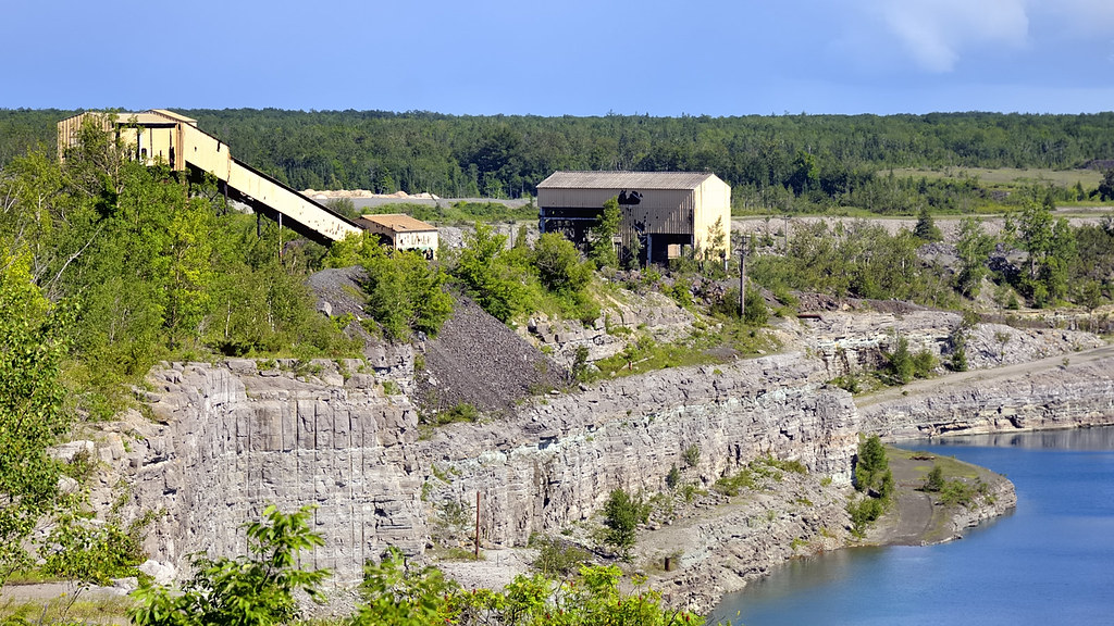
Marmoraton worked-out iron-ore mine - Hastings County, Ontario
Tree, Burnbrae Road, Trent Hills, Ontario_9938
Topographic Map of 13th Line E, Marmora, ON K0K 2M0, Canada
Find elevation by address:

Places near 13th Line E, Marmora, ON K0K 2M0, Canada:
660 Rylstone Rd
660 Rylstone Rd
660 Rylstone Rd
212 Whispering Waters Rd
198 Whispering Waters Rd
76 Whispering Waters Rd
18 Whispering Waters Rd
7370 On-7
801 County Rd 38
6597 County Rd 50
Campbellford Memorial Hospital
Trent Hills
Campbellford
189 Cedarshores Dr
83 High St
112 Front St S
Havelock
60 Jackson Rd
Hastings Water Tower
Hastings
Recent Searches:
- Elevation of Warwick, RI, USA
- Elevation of Fern Rd, Whitmore, CA, USA
- Elevation of 62 Abbey St, Marshfield, MA, USA
- Elevation of Fernwood, Bradenton, FL, USA
- Elevation of Felindre, Swansea SA5 7LU, UK
- Elevation of Leyte Industrial Development Estate, Isabel, Leyte, Philippines
- Elevation of W Granada St, Tampa, FL, USA
- Elevation of Pykes Down, Ivybridge PL21 0BY, UK
- Elevation of Jalan Senandin, Lutong, Miri, Sarawak, Malaysia
- Elevation of Bilohirs'k