Elevation of Stirling, ON, Canada
Location: Canada > Ontario > Hastings County > Stirling-rawdon >
Longitude: -77.548330
Latitude: 44.2970518
Elevation: 121m / 397feet
Barometric Pressure: 100KPa
Elevation Map:
Satellite Map:
Related Photos:
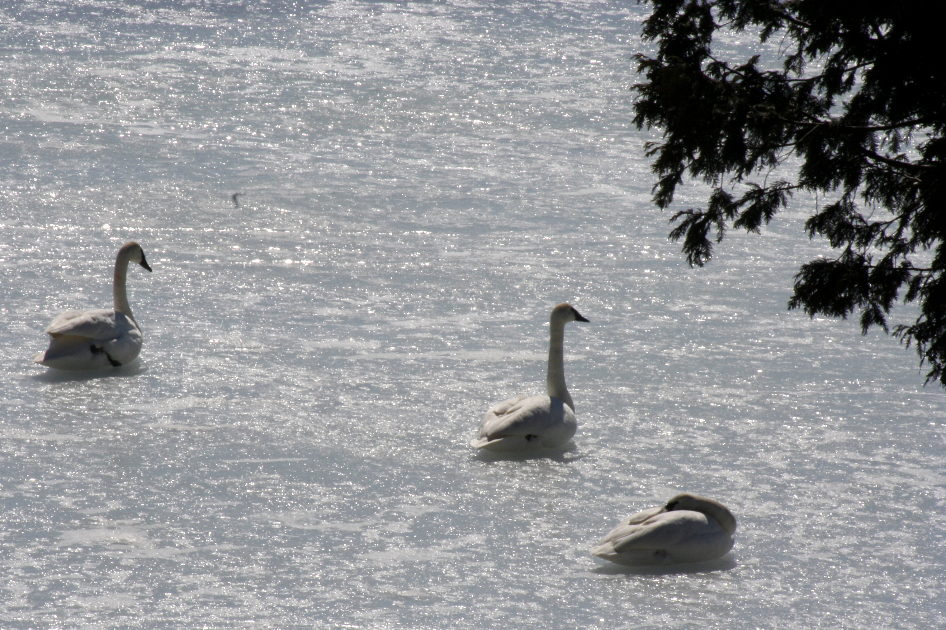
Whistling Swans, Glen Ross, Ontario_9341

Whistling Swans, Glen Ross, Ontario_9340
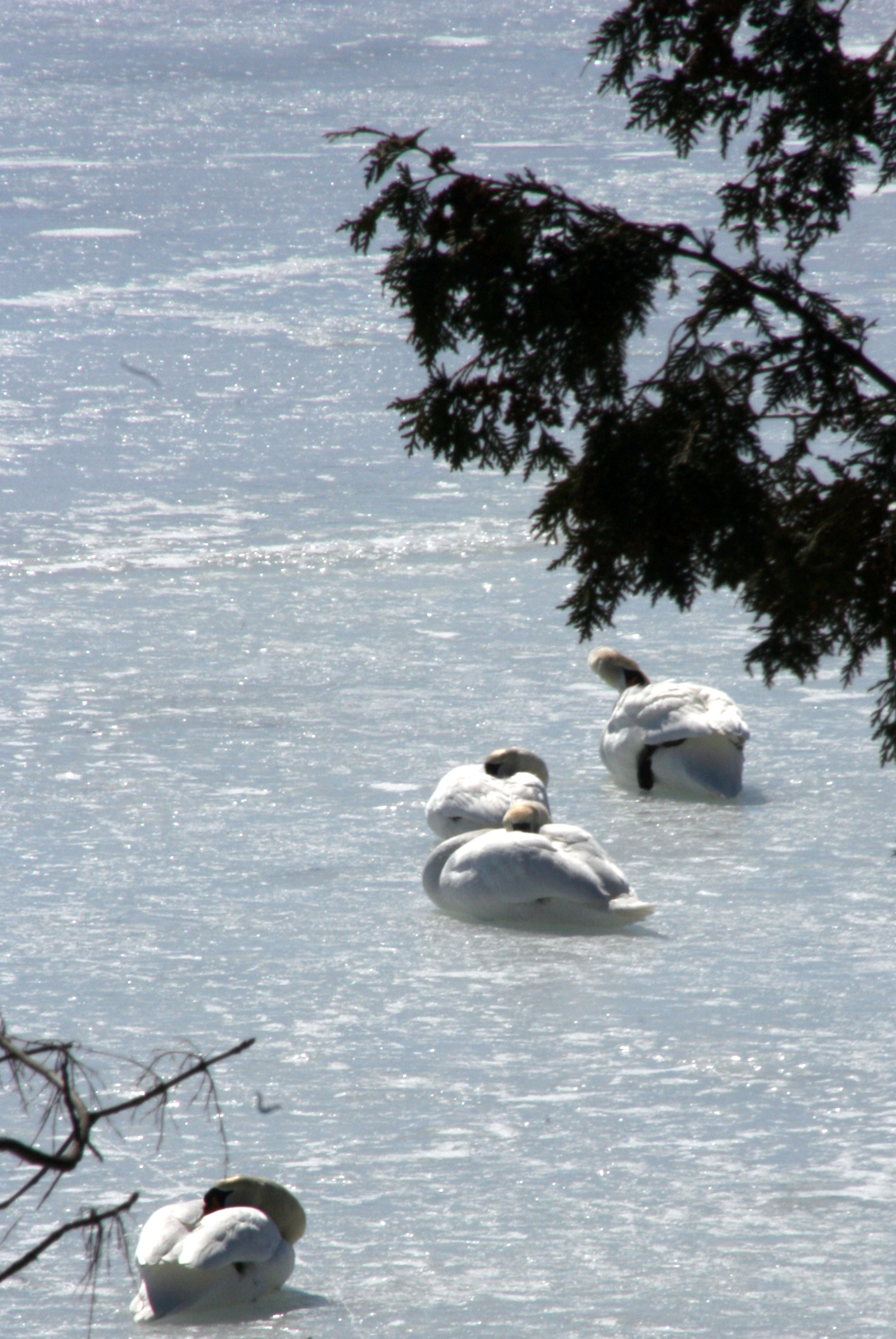
Whistling Swans, Glen Ross, Ontario_9342

2017-35 Stirling

Yellow And Blue
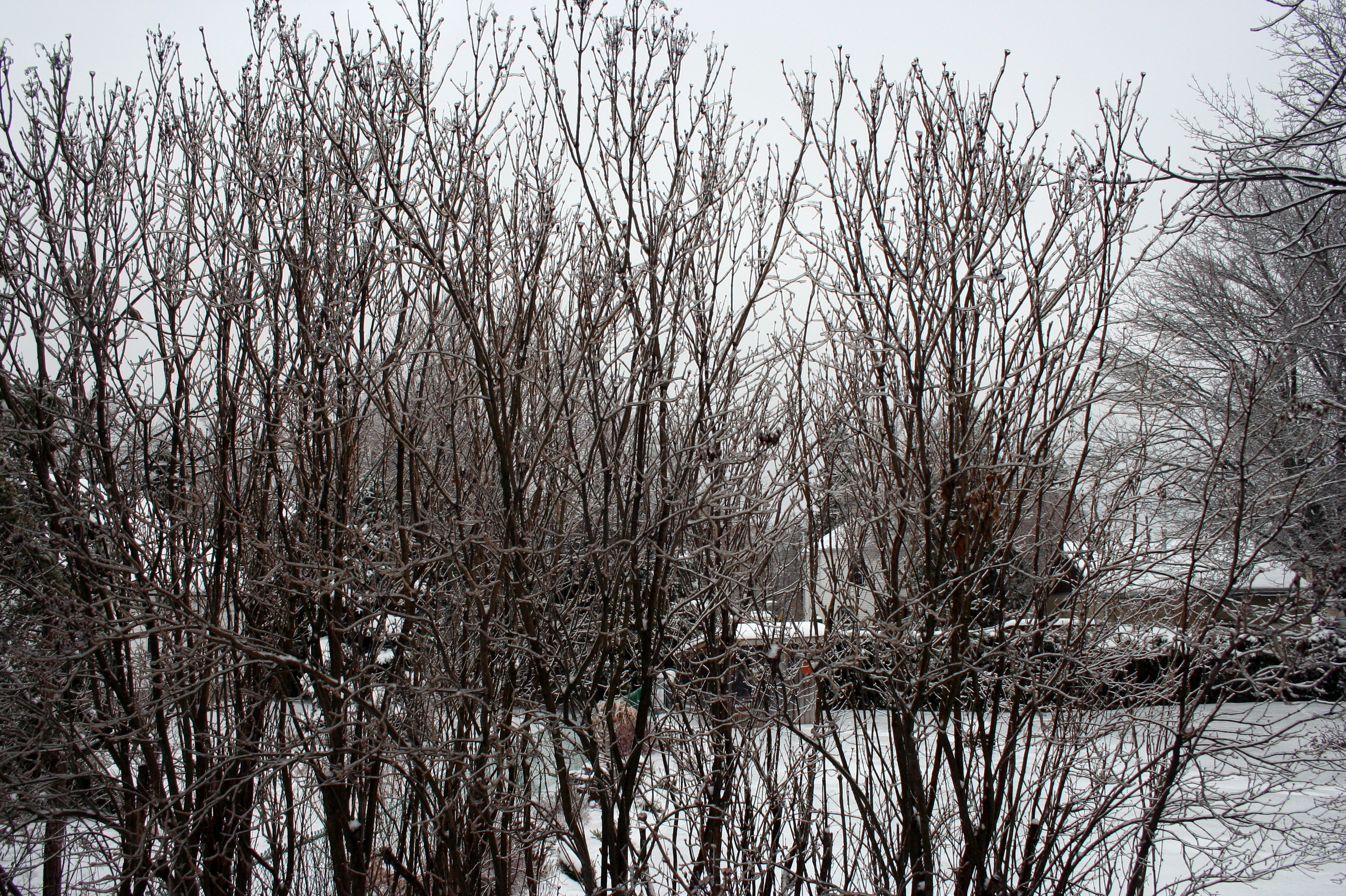
Ice Storm, Rime on Lilac Bushes_9229
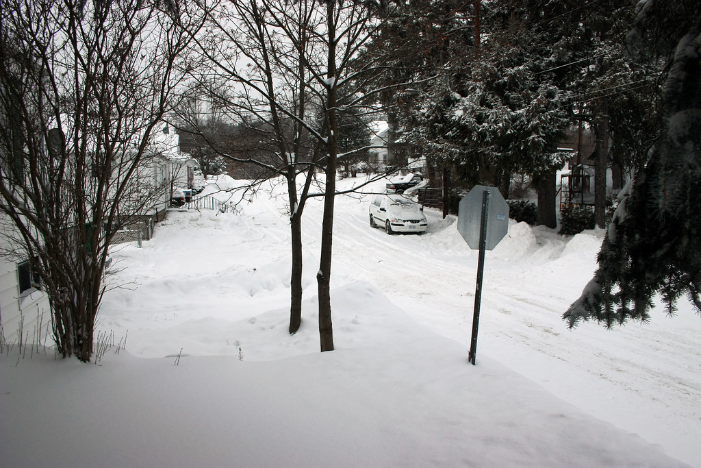
winter wonderland
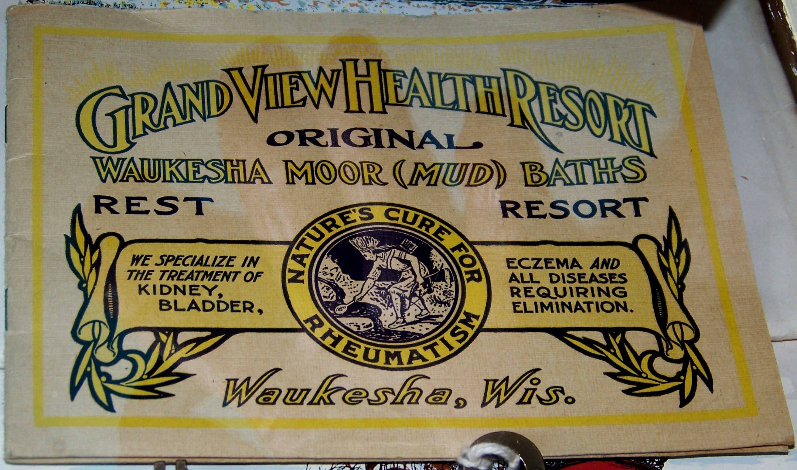
Grand View Health Resort
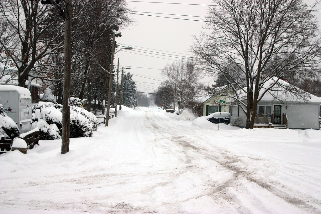
winter wonderland
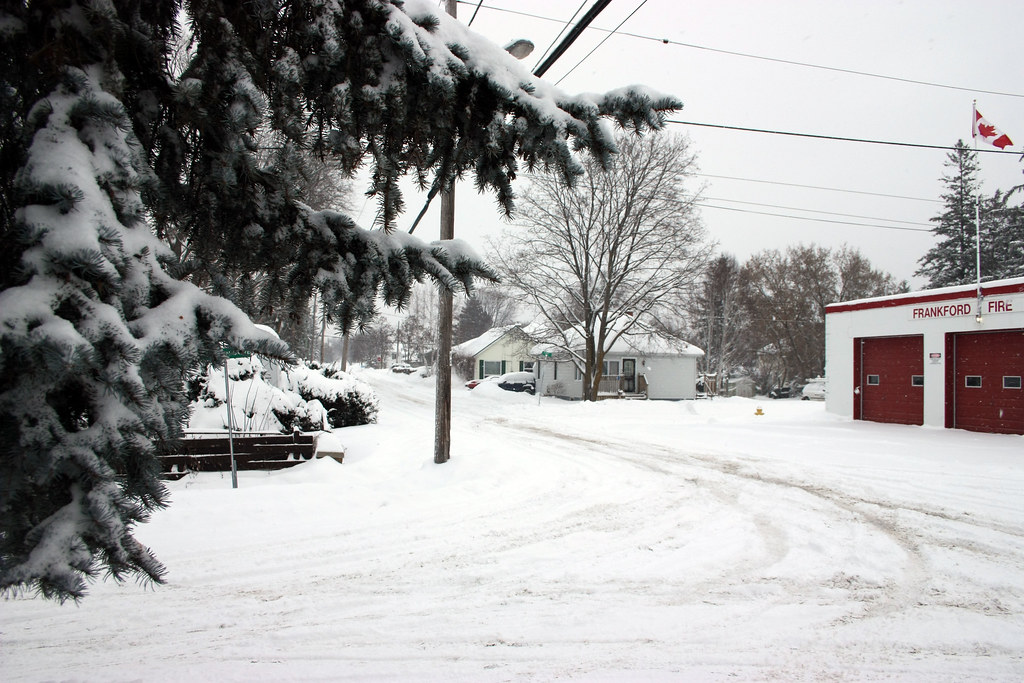
winter wonderland
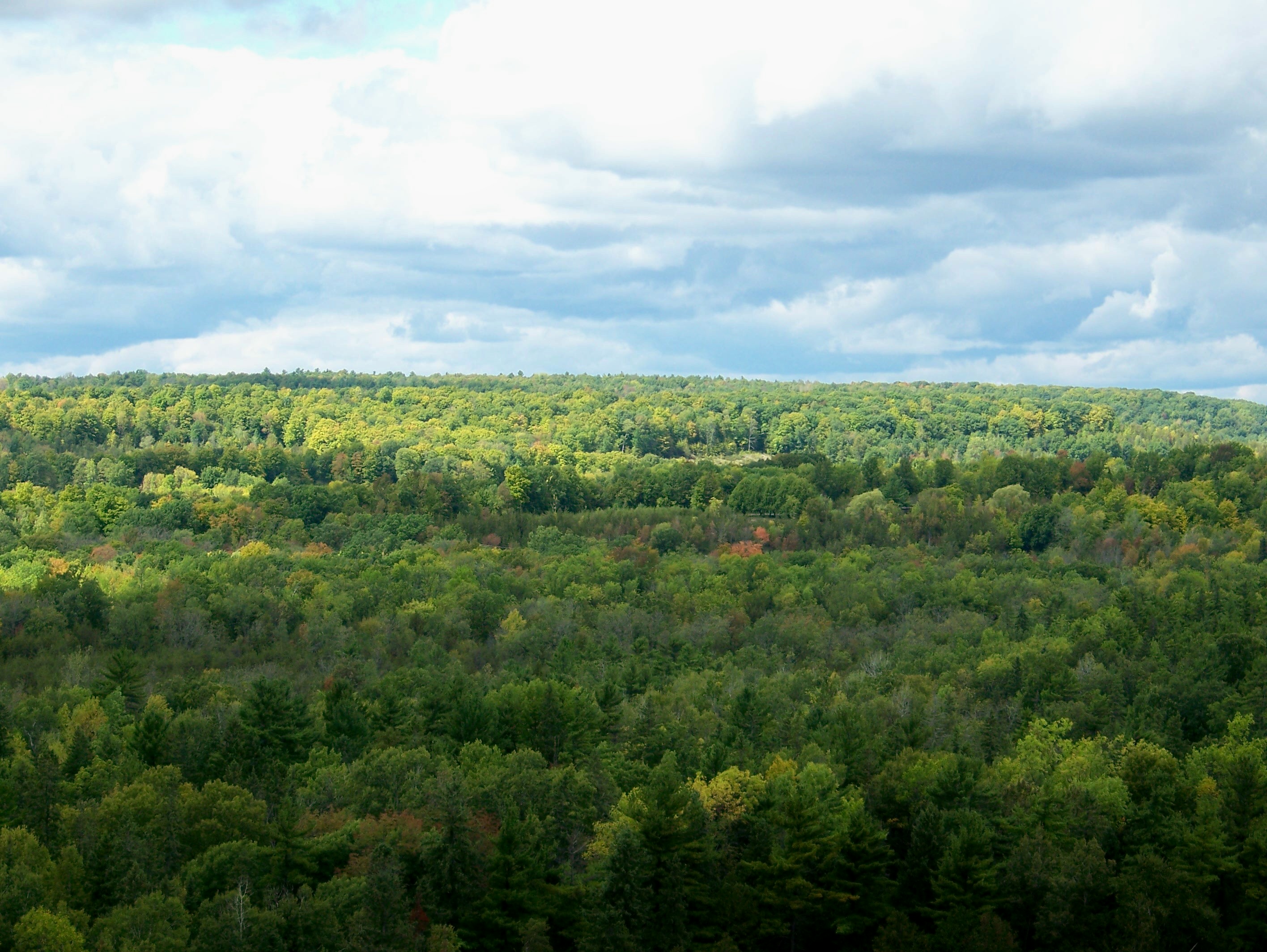
View out over the countryside, from atop the Batawa Ski Hill

Trent Hills Gap
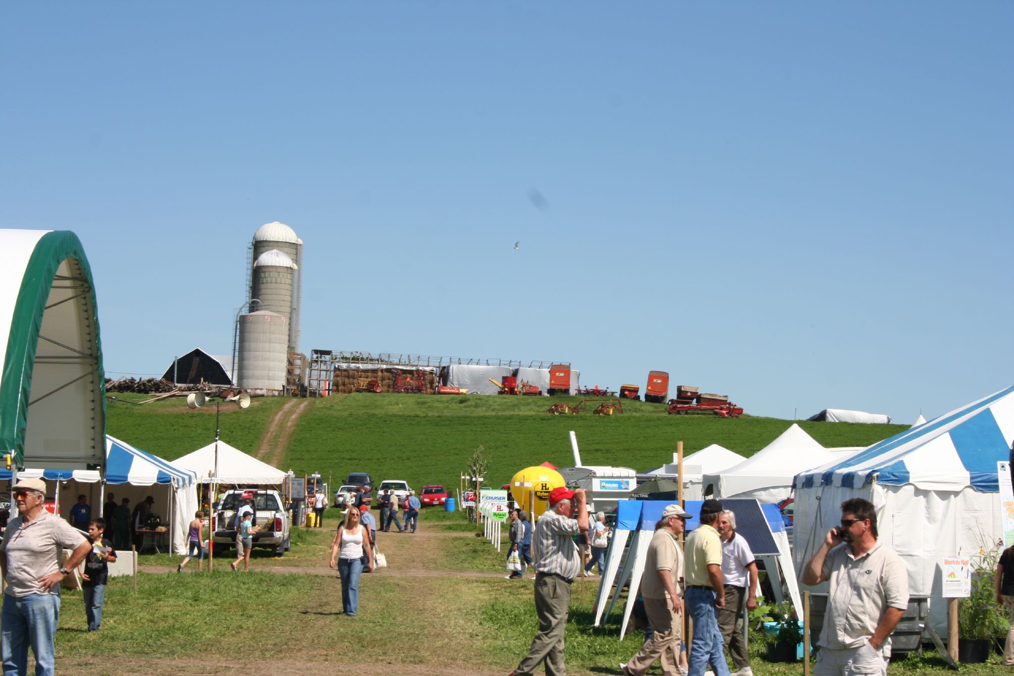
Hastings County Ploughing Match 2008 071

The Intelligencer and The Community Press mailboxes

View down the Batawa Ski Hill

Blue Jay_0711

Stirling Christmas 2009_0002
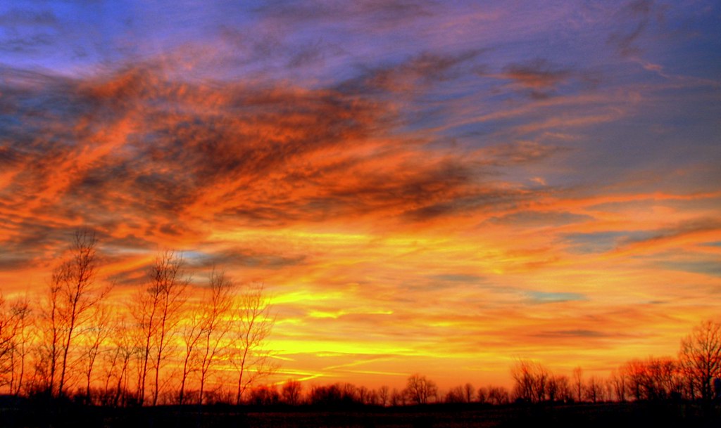
Winter sunset

yesterdays sunset
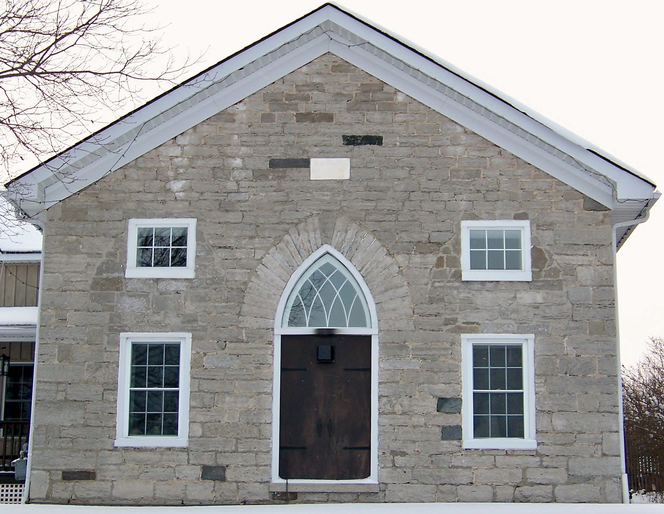
Old Methodist Episcopal Church, built 1867
Clouds Oak Hill 2
Our backyard at sunset (oct 2nd)
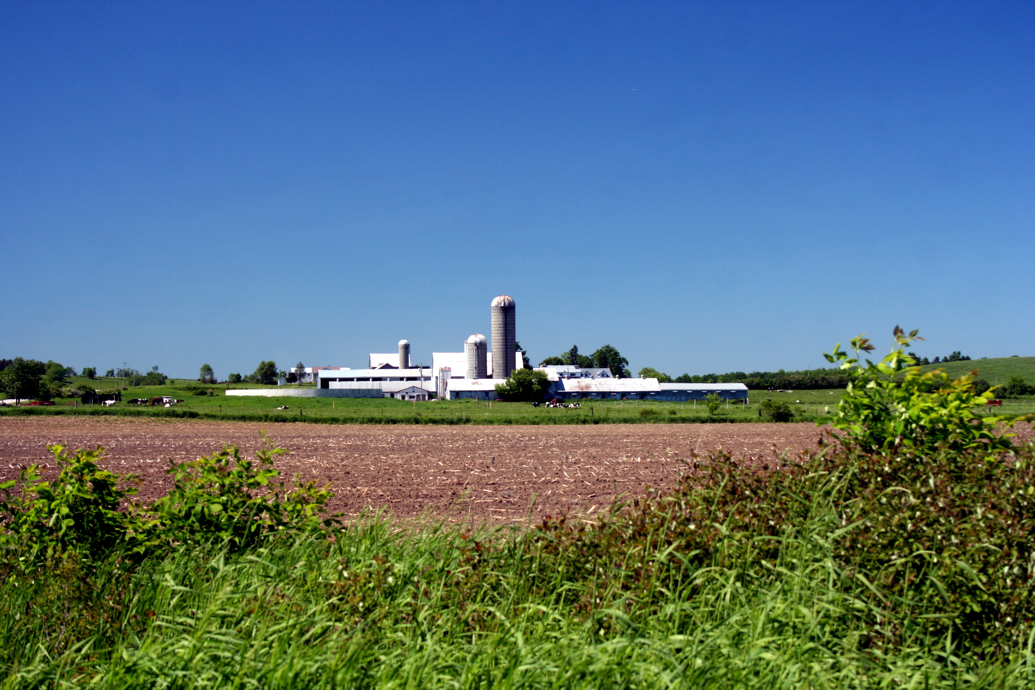
Frankford Farm 2
Tree on Nothumberland County 6th Line East_7956
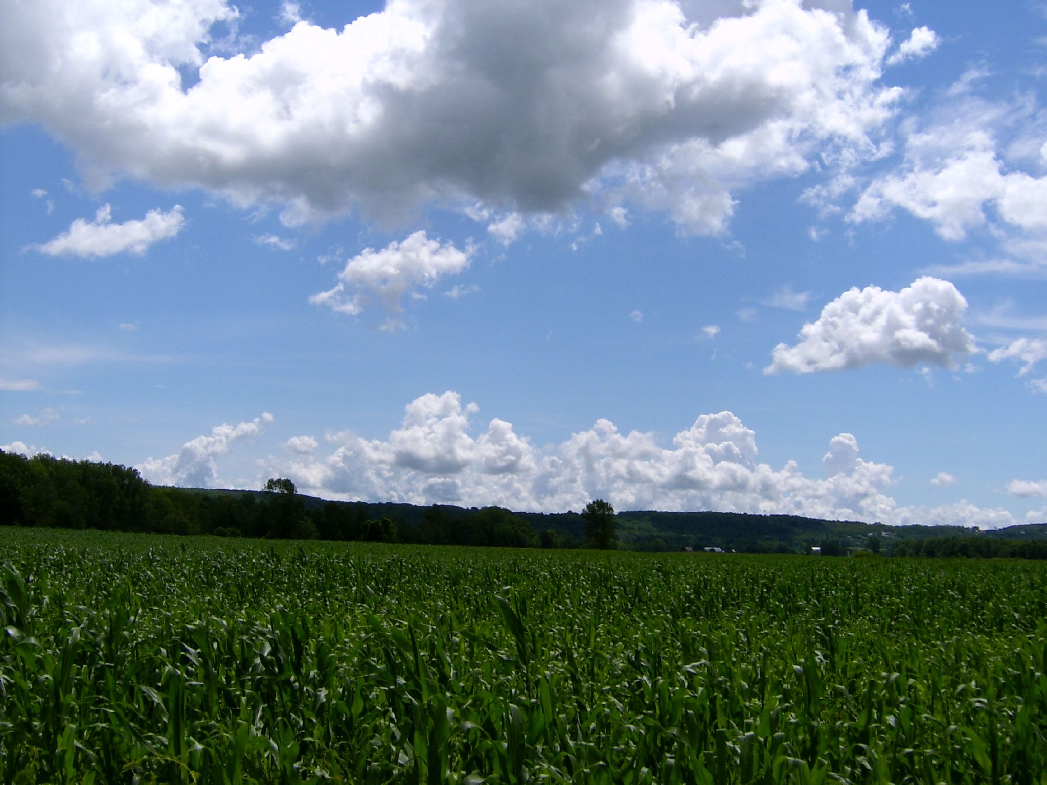
The Sky So Blue

Sunset on Oak Lake
Plowing Match Grounds, Stirling Ontario_8698
Sunset on Oak Lake
Sunrise @ Groundhog OP

Sunset on Oak Lake
Cut field
Petherwick's Road Farm_4589
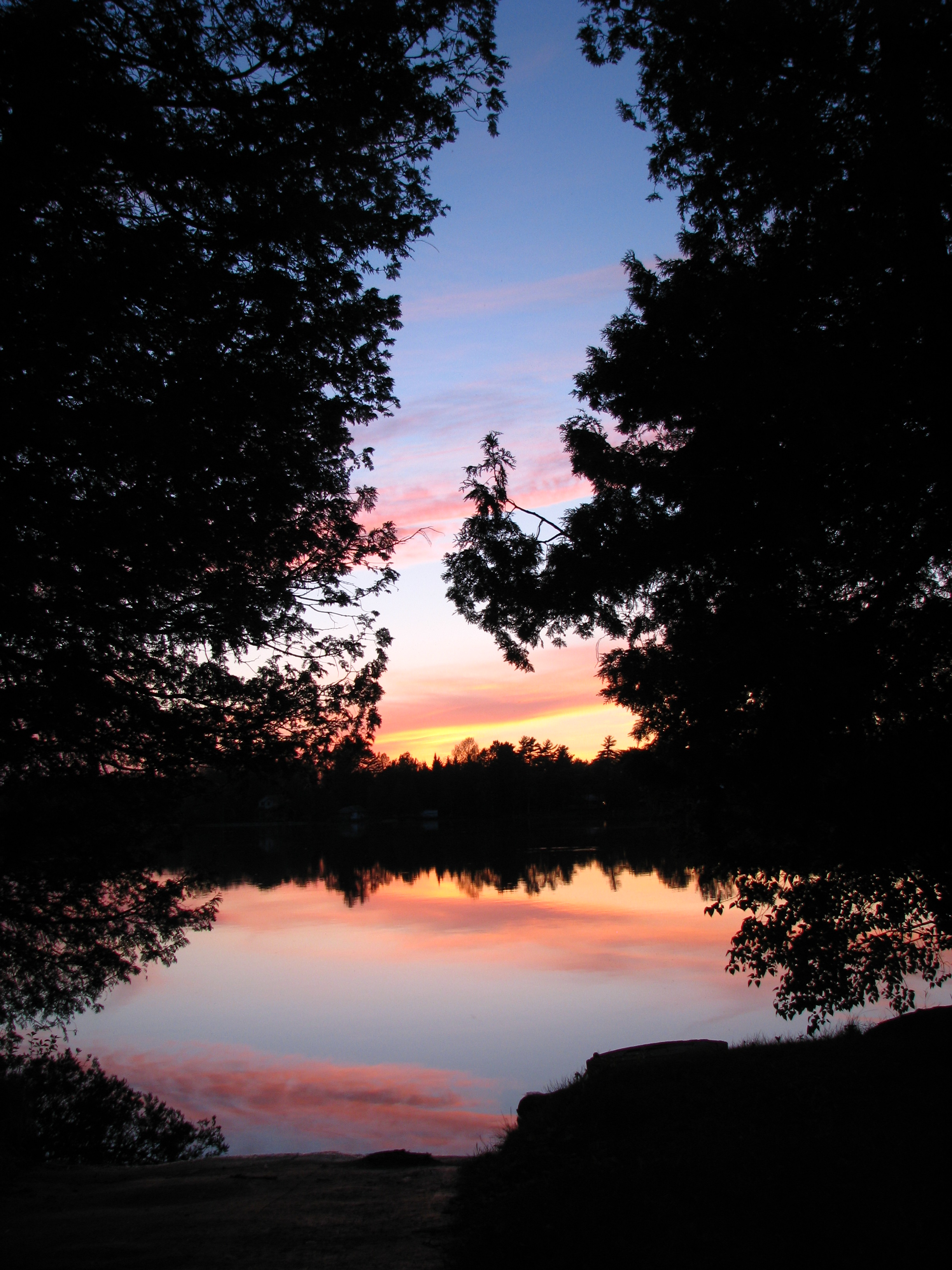
Sunset on Oak Lake

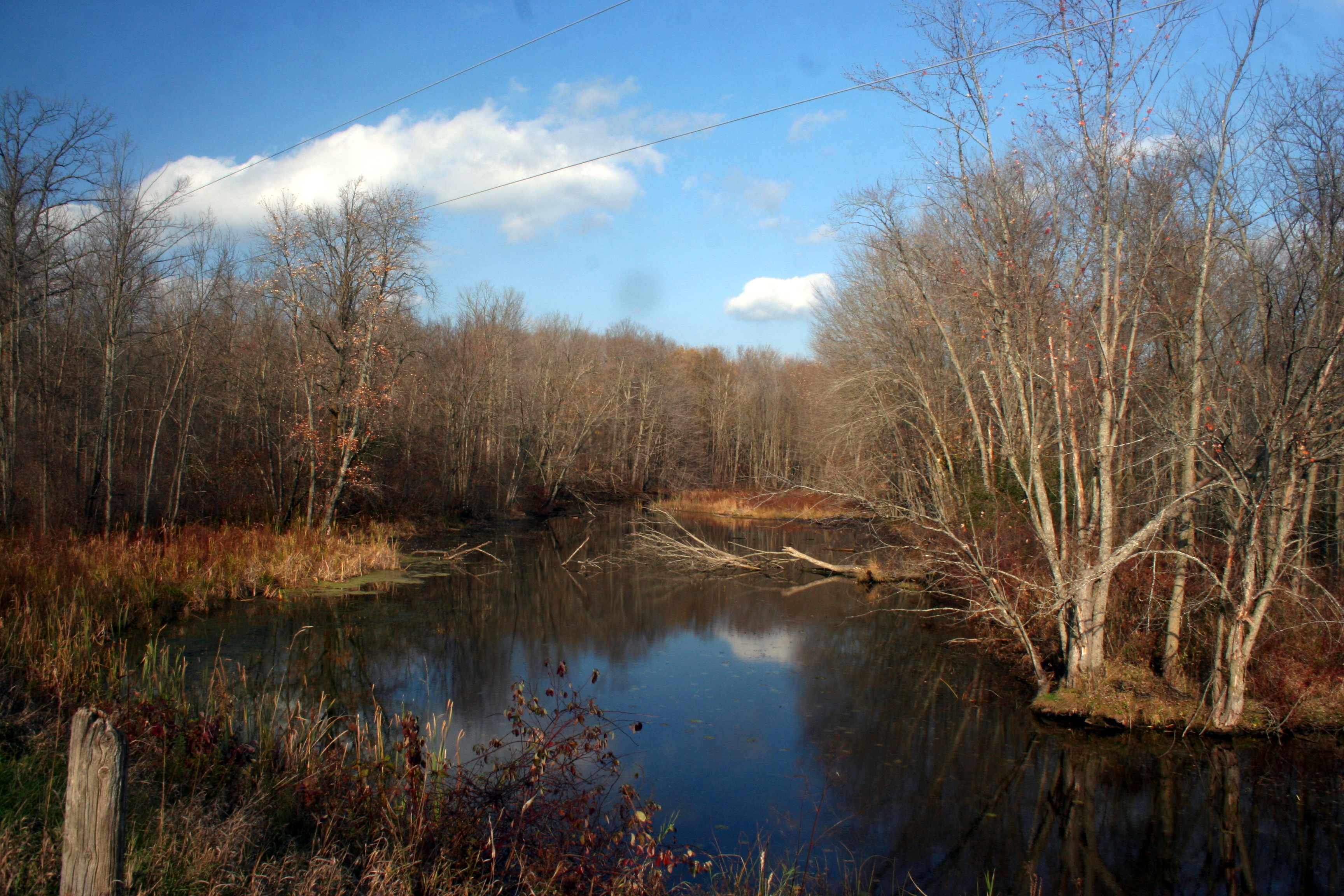
Cold Creek, Trent River, Frankford_0689
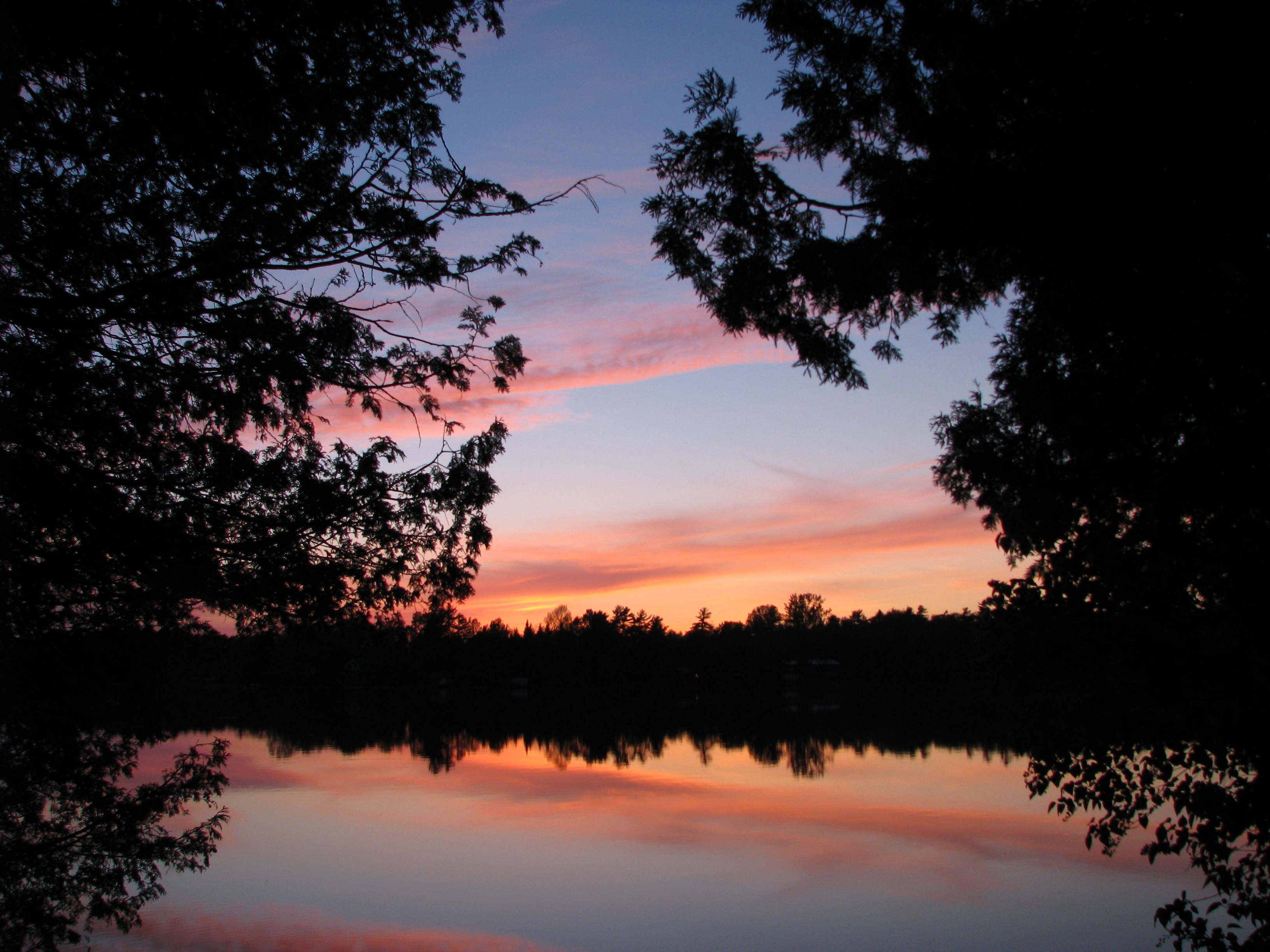
Sunset on Oak Lake
Hoard's Creek, Autumn_5669
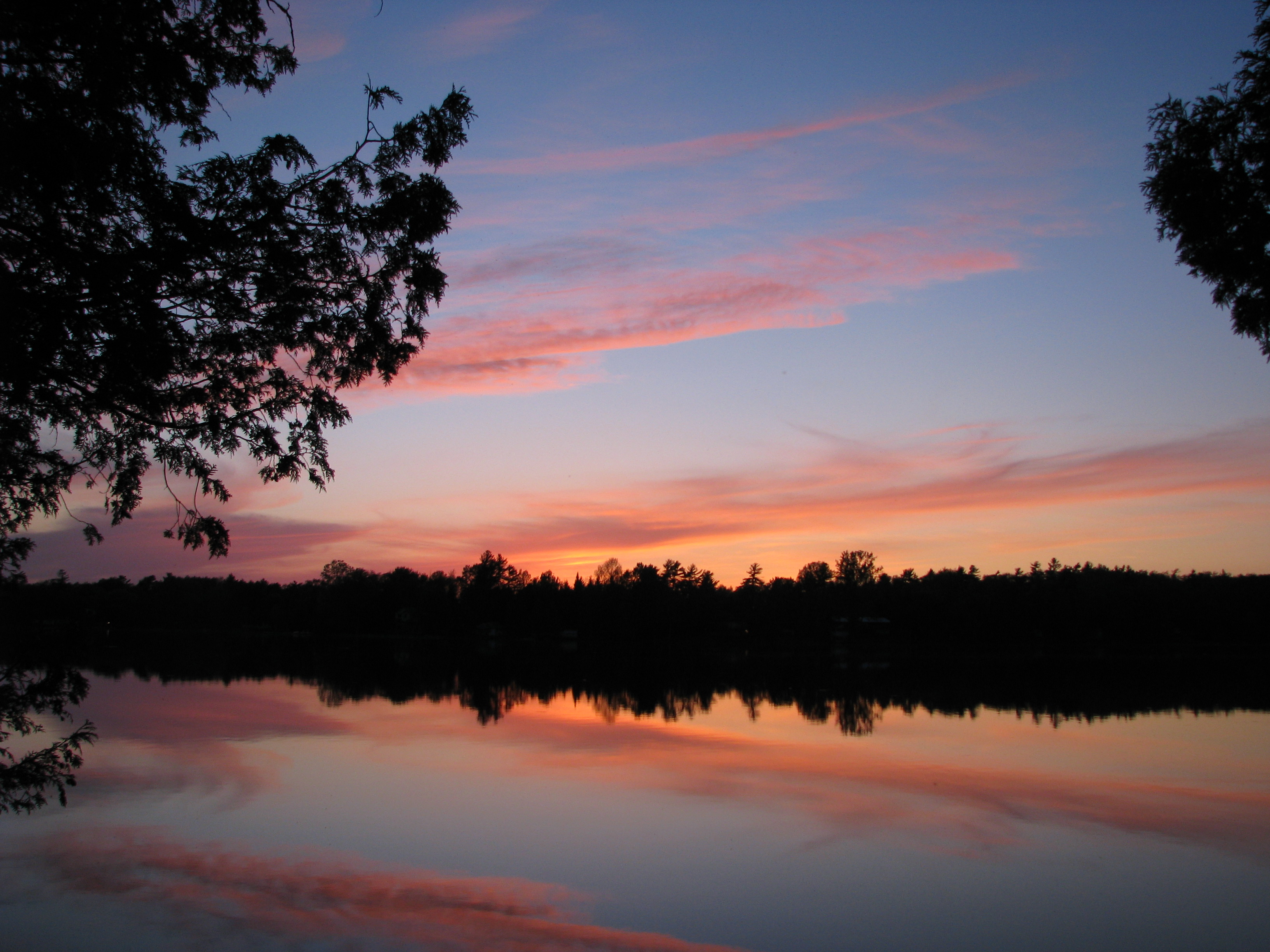
Sunset on Oak Lake
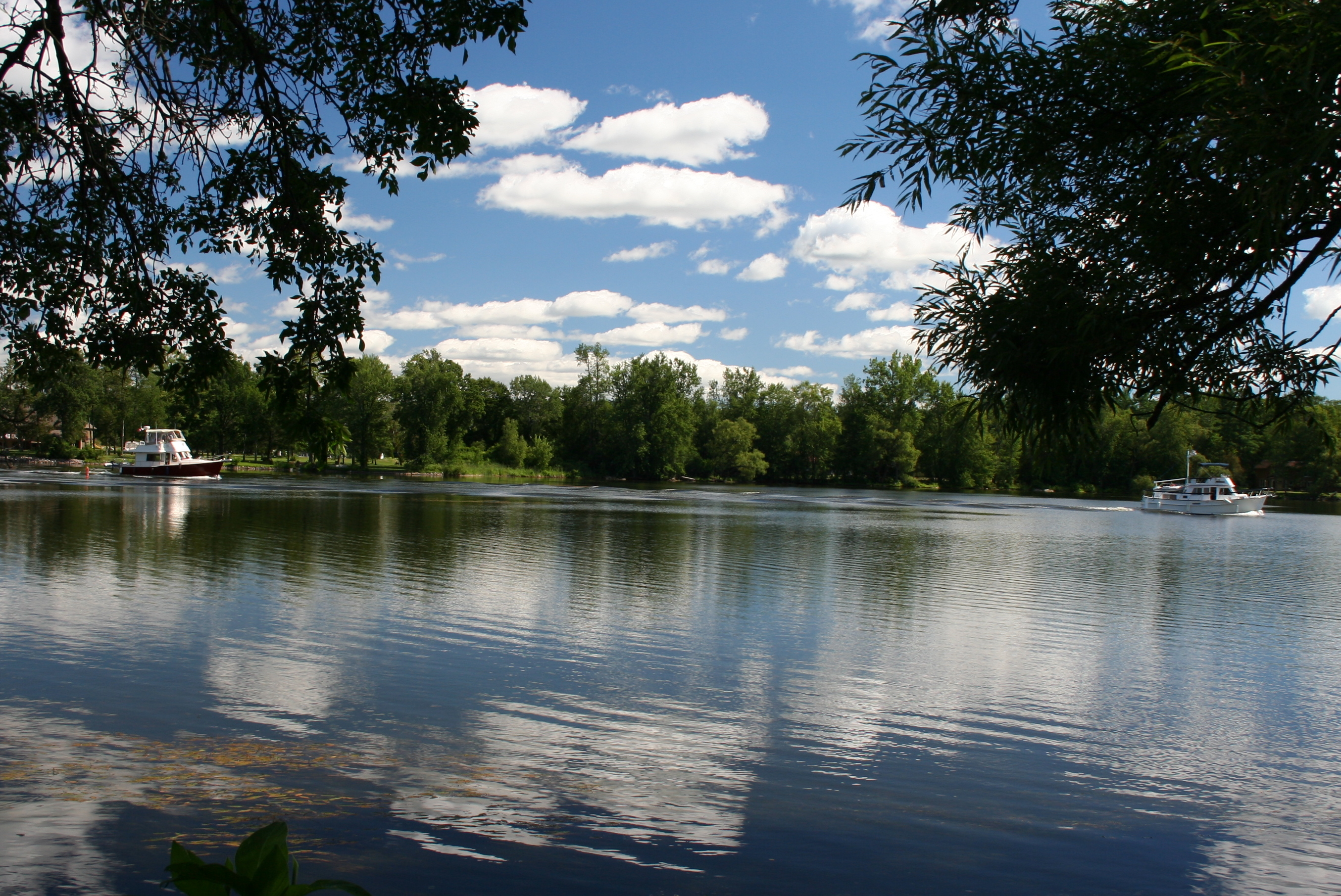
Cruising the Trent River_8639
Topographic Map of Stirling, ON, Canada
Find elevation by address:

Places in Stirling, ON, Canada:
Places near Stirling, ON, Canada:
Ontario 14
74 John Meyers Rd
788 Gallivan Rd
92 White Oak Ct
Stirling-rawdon
Chatterton
1880 Frankford Rd
Frankford
2699 Spring Brook Rd
Foxboro
Springbrook
7872 On-62
28 Mudcat Rd
Quinte West
964 Will Johnson Rd
4 Old Mill Park
593 Mudcat Rd
799 Glen Miller Rd
Centre Hastings
49 Homan Rd
Recent Searches:
- Elevation of Lampiasi St, Sarasota, FL, USA
- Elevation of Elwyn Dr, Roanoke Rapids, NC, USA
- Elevation of Congressional Dr, Stevensville, MD, USA
- Elevation of Bellview Rd, McLean, VA, USA
- Elevation of Stage Island Rd, Chatham, MA, USA
- Elevation of Shibuya Scramble Crossing, 21 Udagawacho, Shibuya City, Tokyo -, Japan
- Elevation of Jadagoniai, Kaunas District Municipality, Lithuania
- Elevation of Pagonija rock, Kranto 7-oji g. 8"N, Kaunas, Lithuania
- Elevation of Co Rd 87, Jamestown, CO, USA
- Elevation of Tenjo, Cundinamarca, Colombia