Elevation of Southern Bay Rd, Penobscot, ME, USA
Location: United States > Maine > Hancock County > Penobscot >
Longitude: -68.702629
Latitude: 44.4508733
Elevation: 22m / 72feet
Barometric Pressure: 101KPa
Elevation Map:
Satellite Map:
Related Photos:
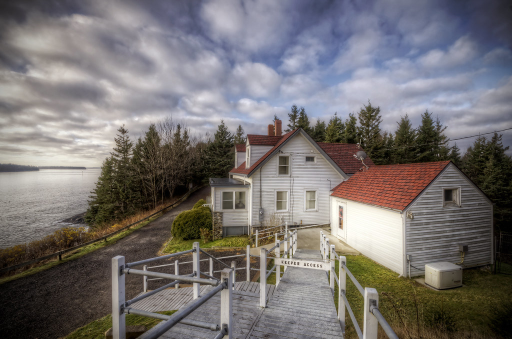
Keeper's Access
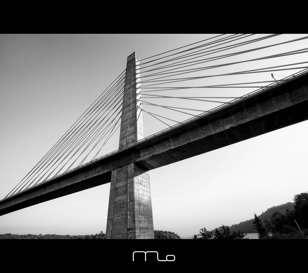
Penobscot Observatory
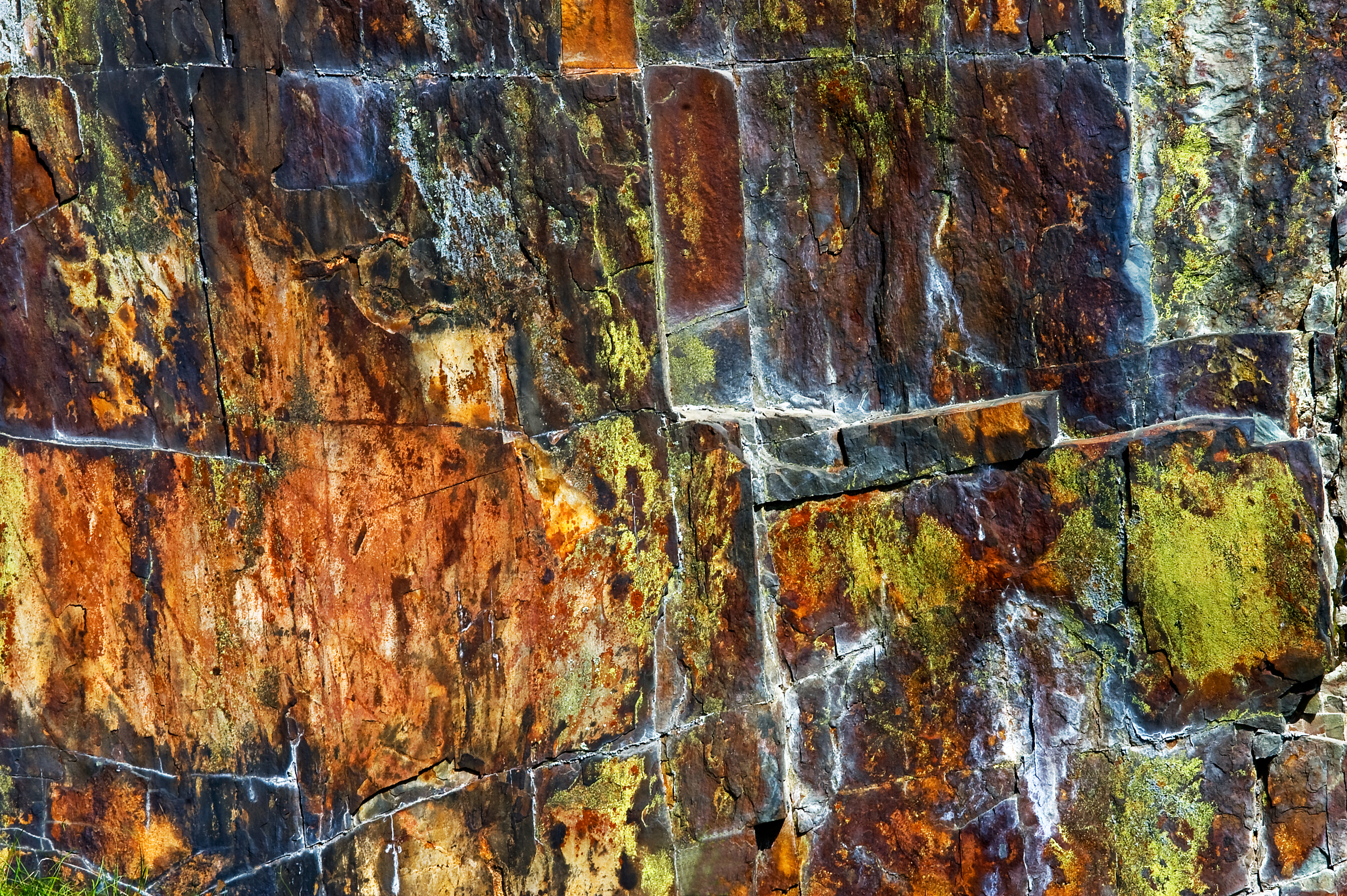
Rust Can Be Beautiful
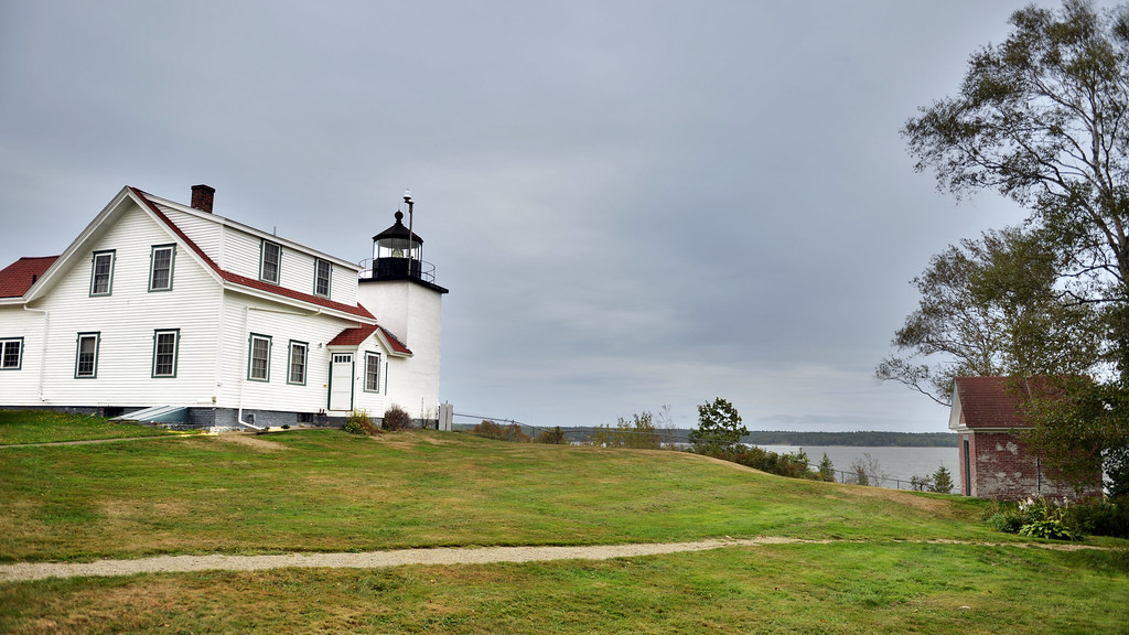
Fort Point Lighthouse, Maine
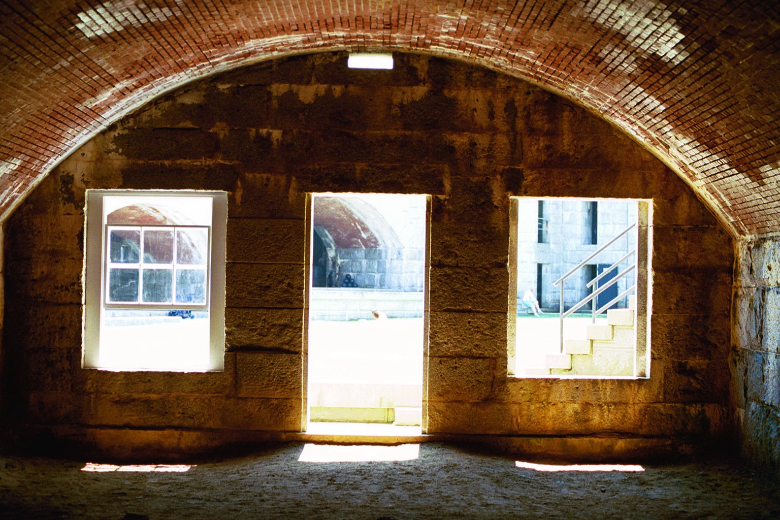
Room with a View
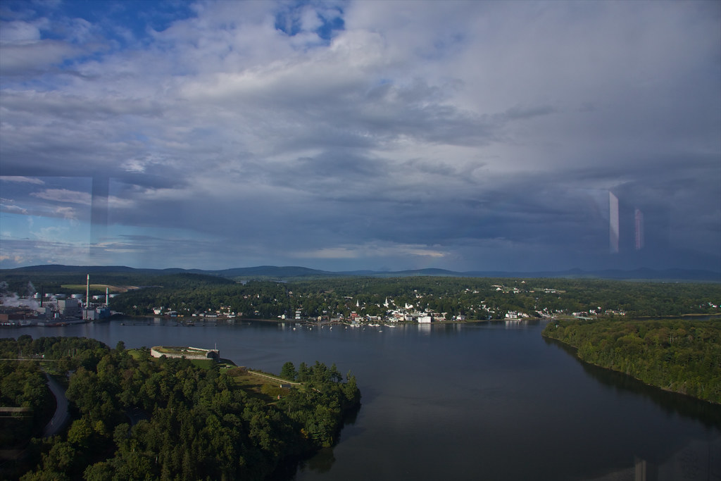
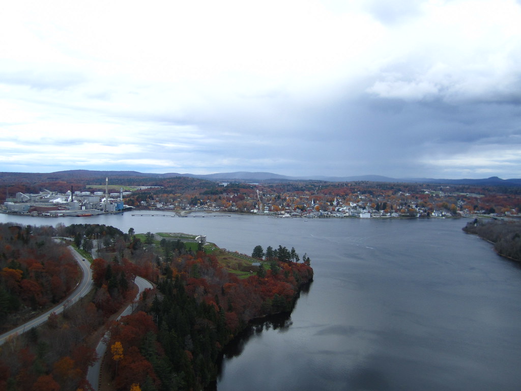
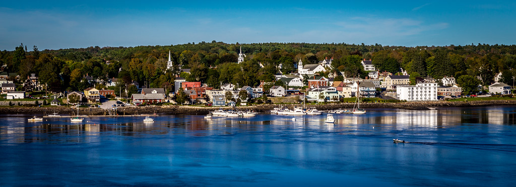
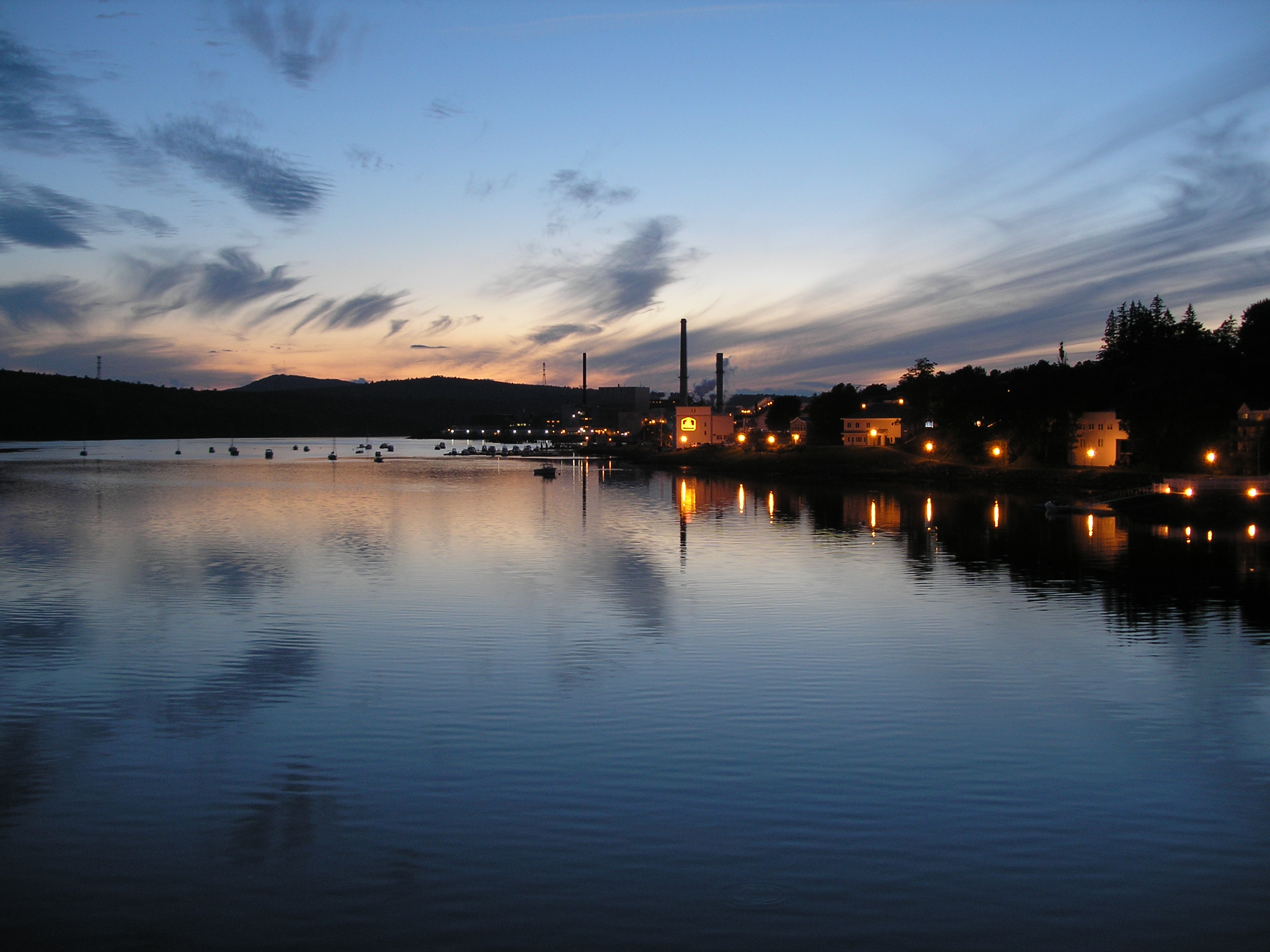
View of Bucksport
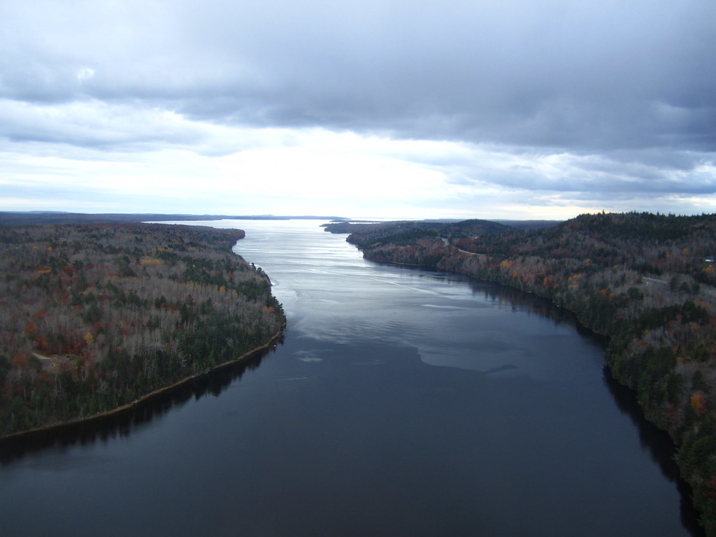
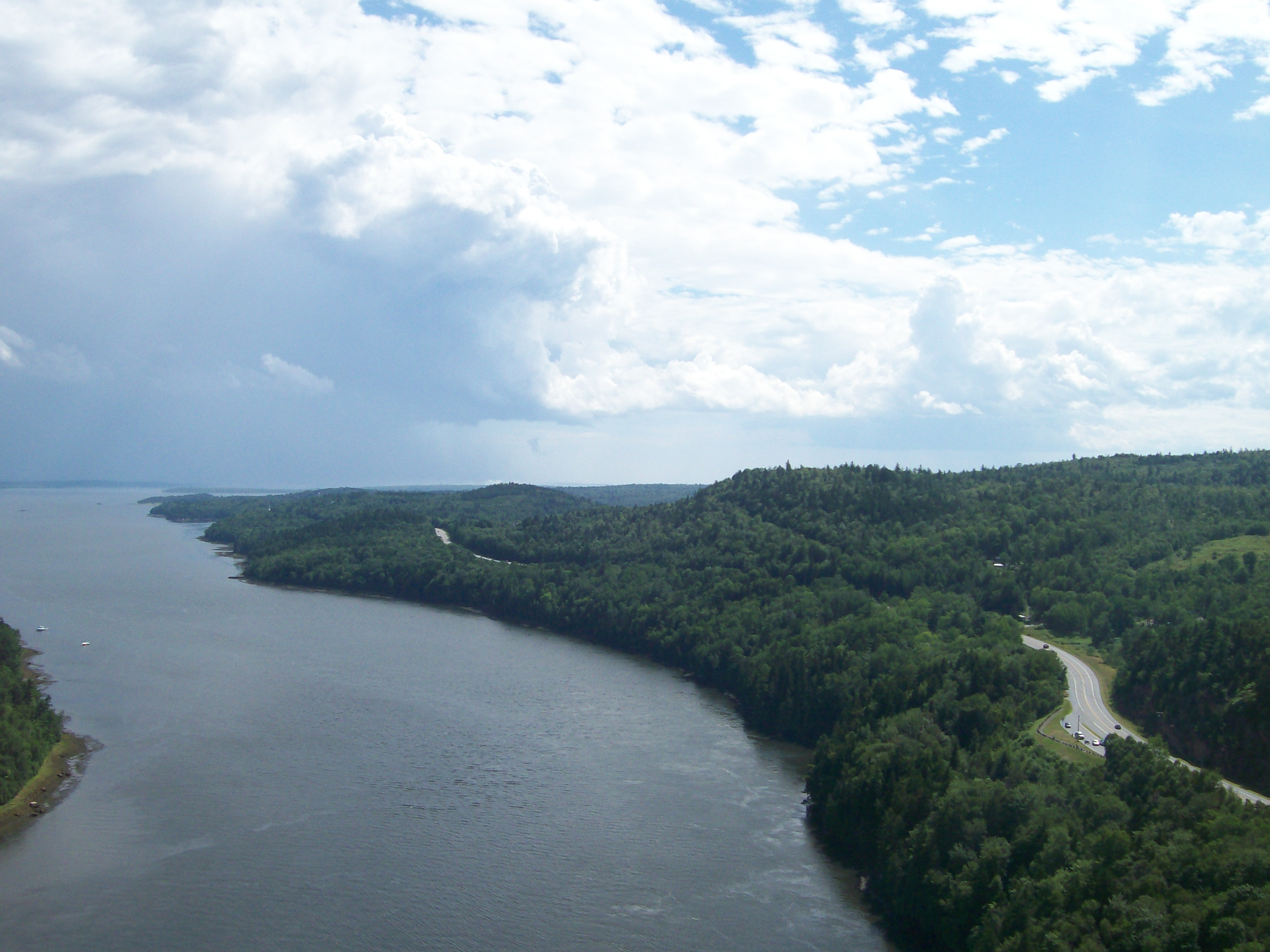
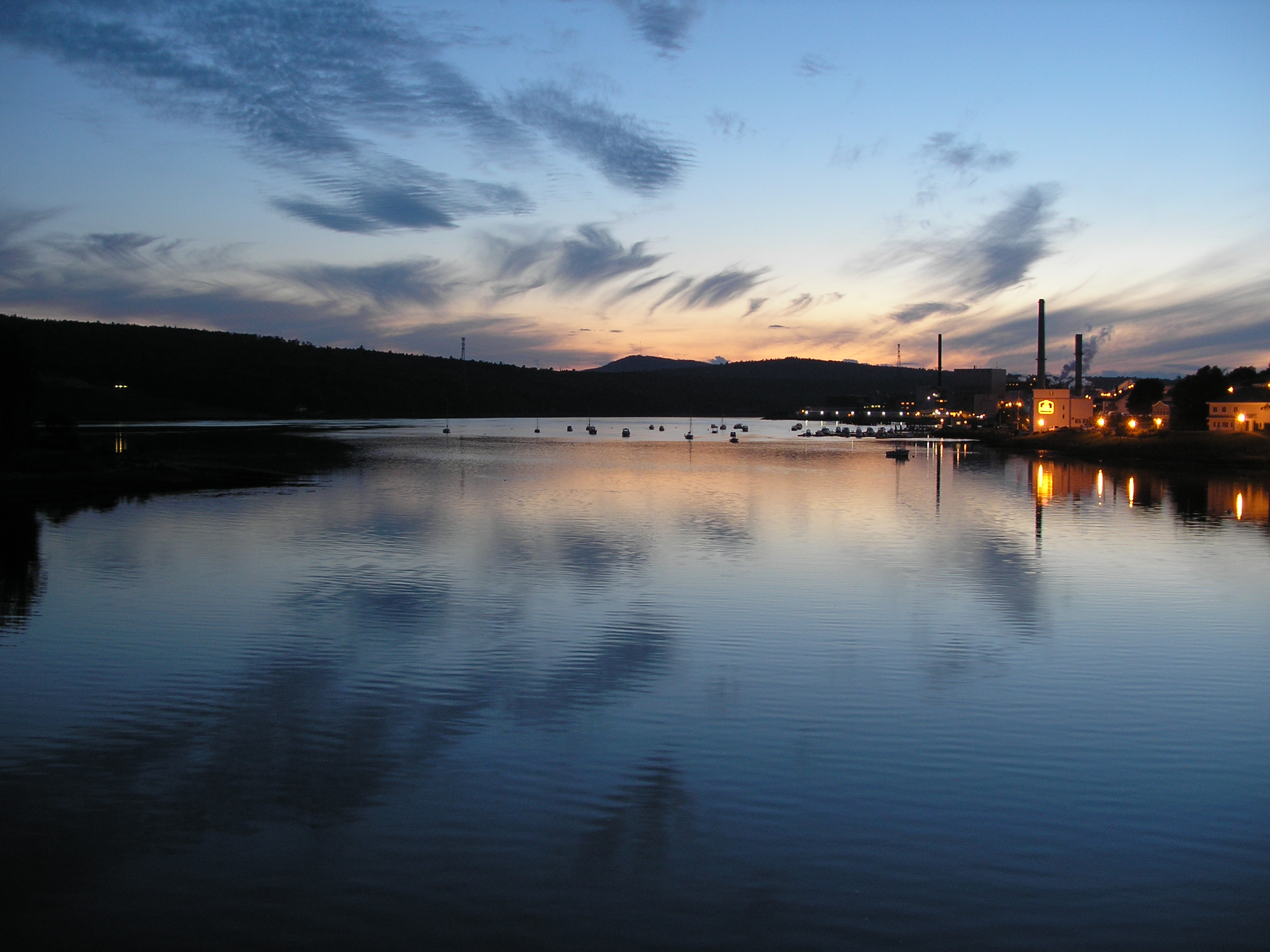
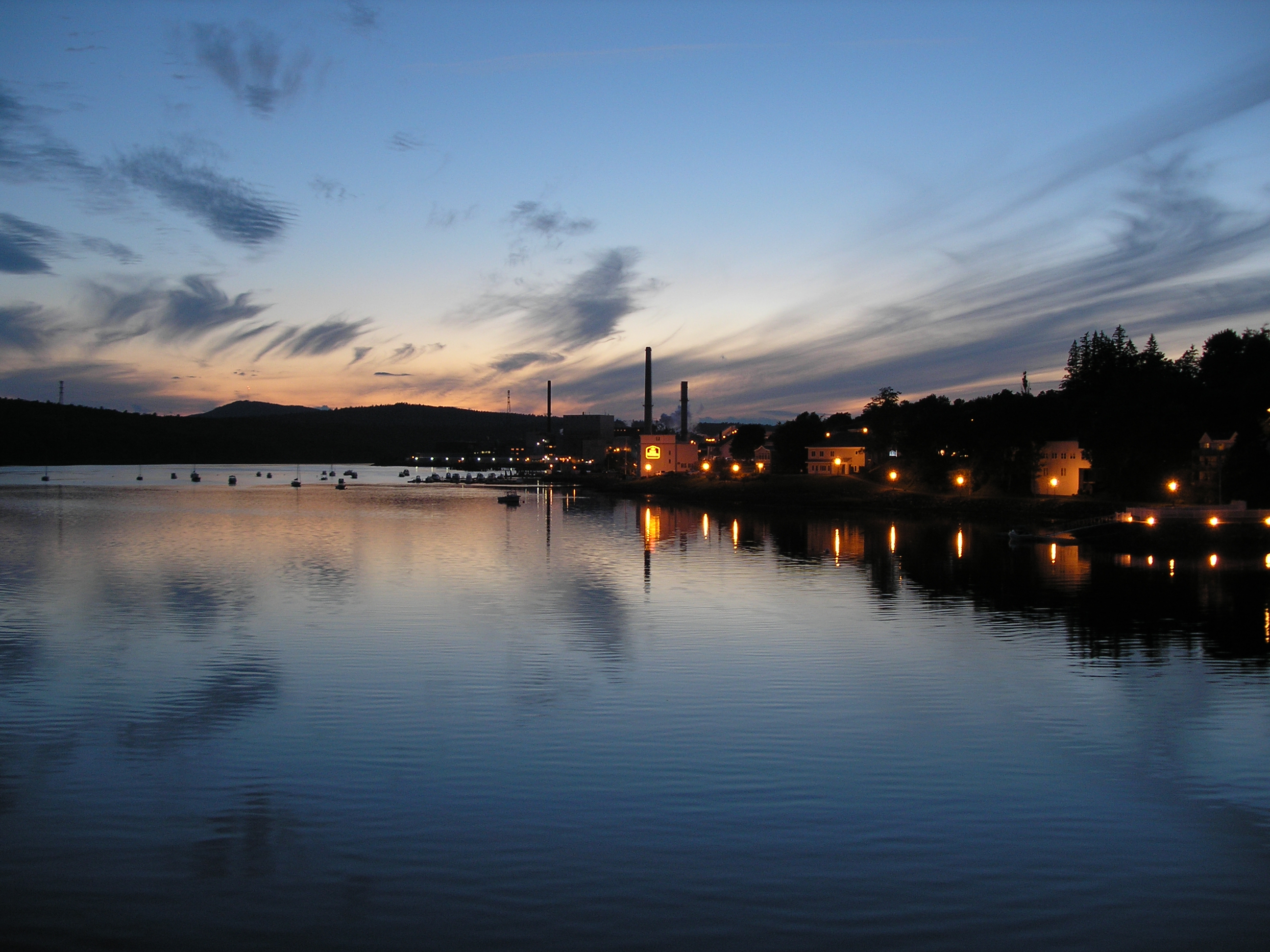
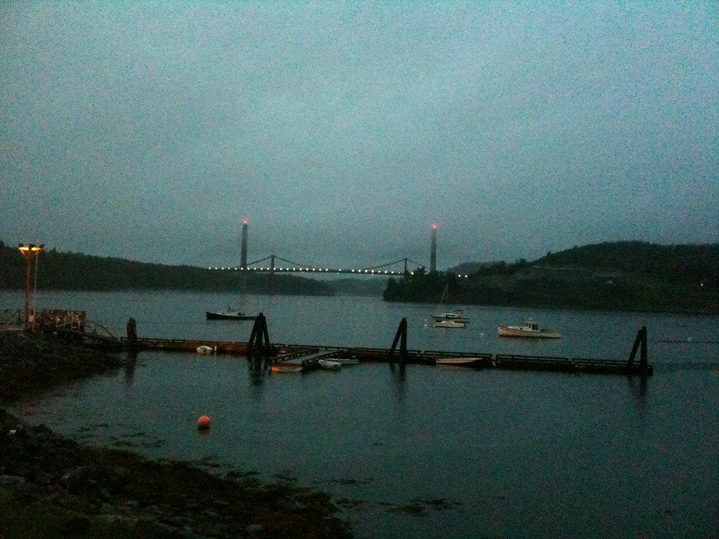
View from the Bucksport Bridge
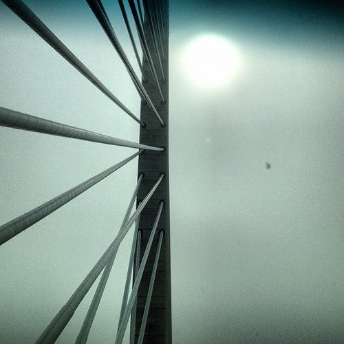
Observatory - 1
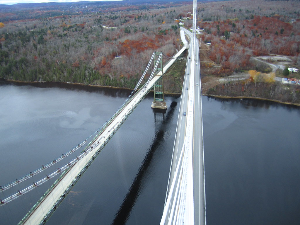
View from the Bucksport Bridge
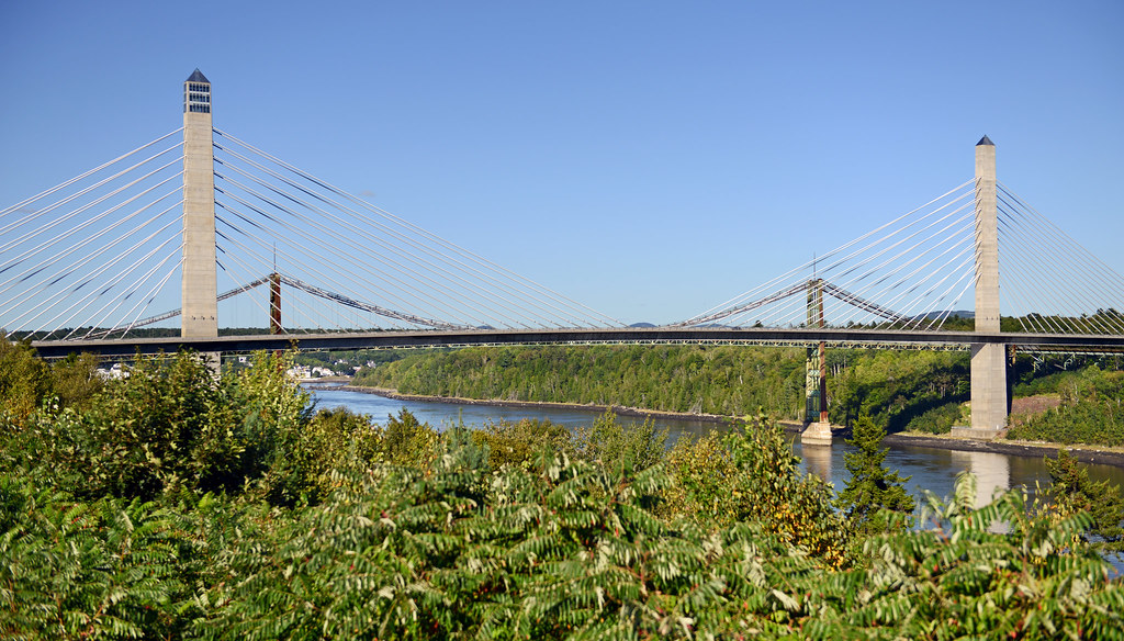
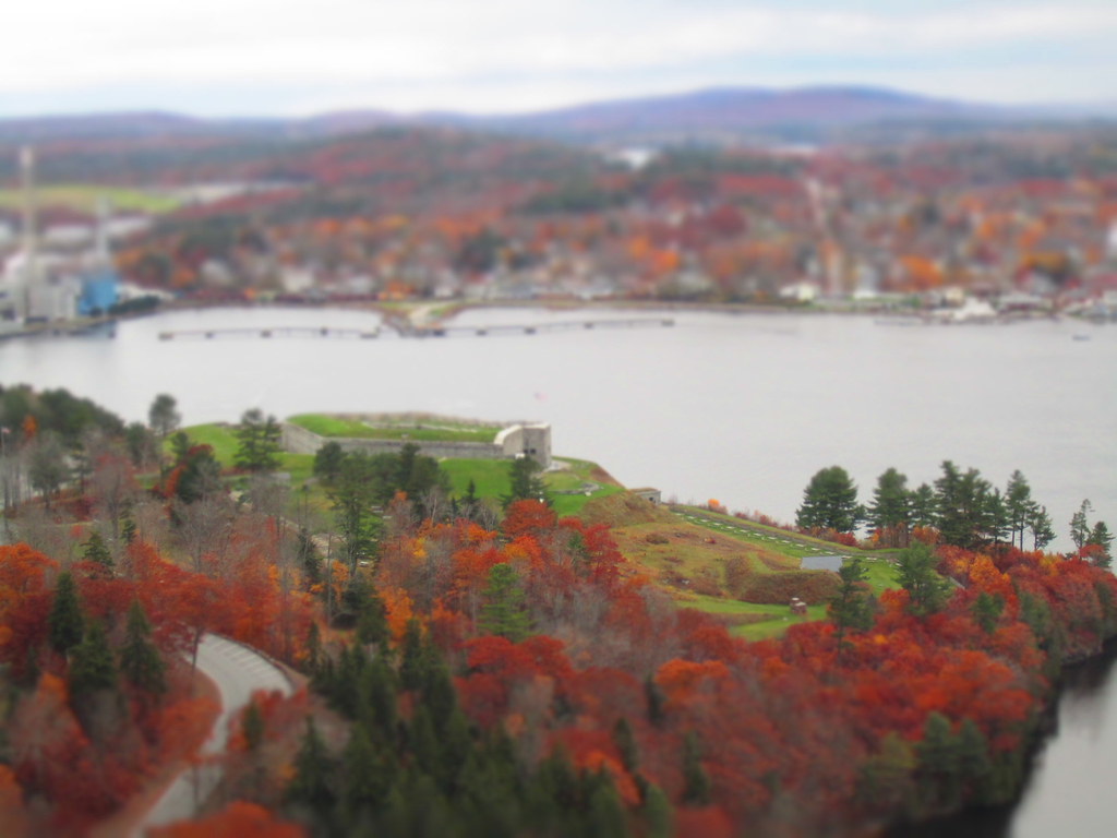
Penobscot Narrows Bridge and Observatory, Maine
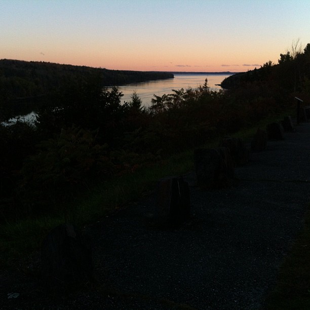
Same view - better sunset colors
Awesome view while crossing the bridge!! Love the #architecture with @karry_smith
View from the Bucksport Bridge
Ft.Knox Maine-7
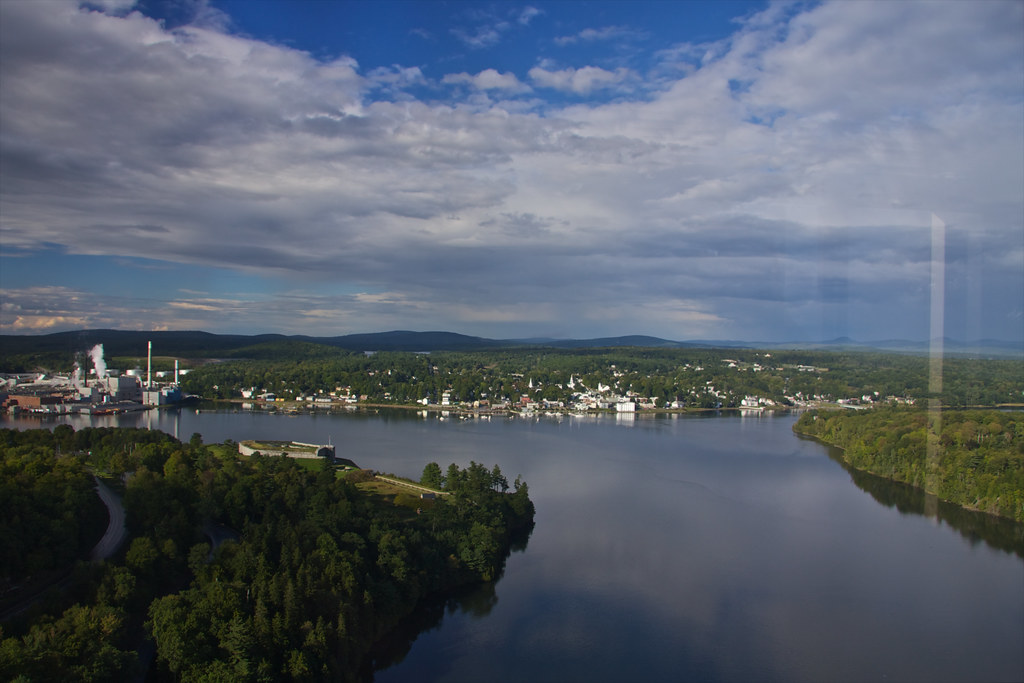
View of Bucksport
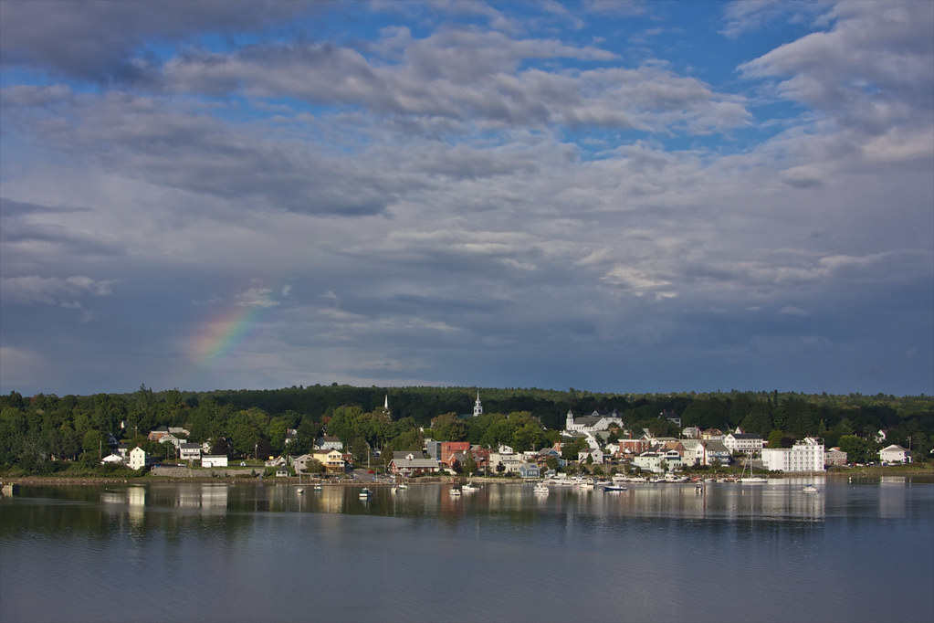
View of Bucksport
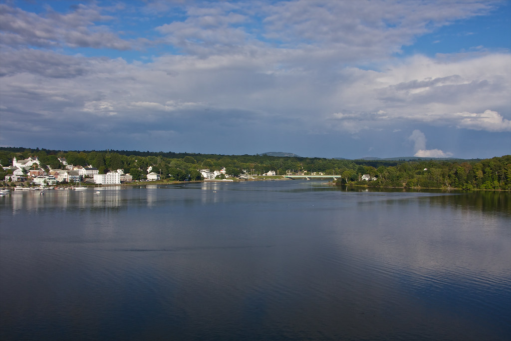
View of Bucksport
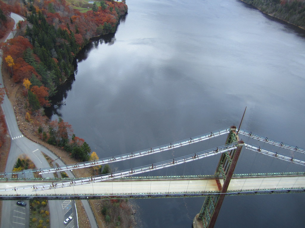
View from the Bucksport Bridge
View from the Bucksport Bridge

R_20090831181356_162-Edit

View from the Bucksport Bridge
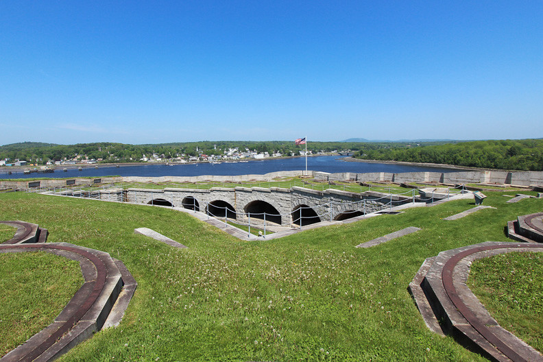
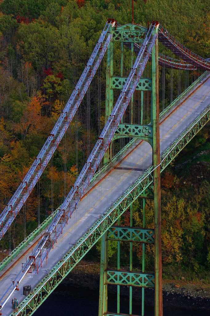
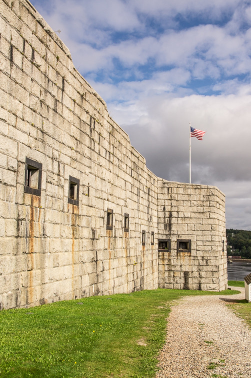
Fort Knox
Rural Maine

British Canal
2006Jul Acadia part1 (28)
2006Jul Acadia part1 (26)
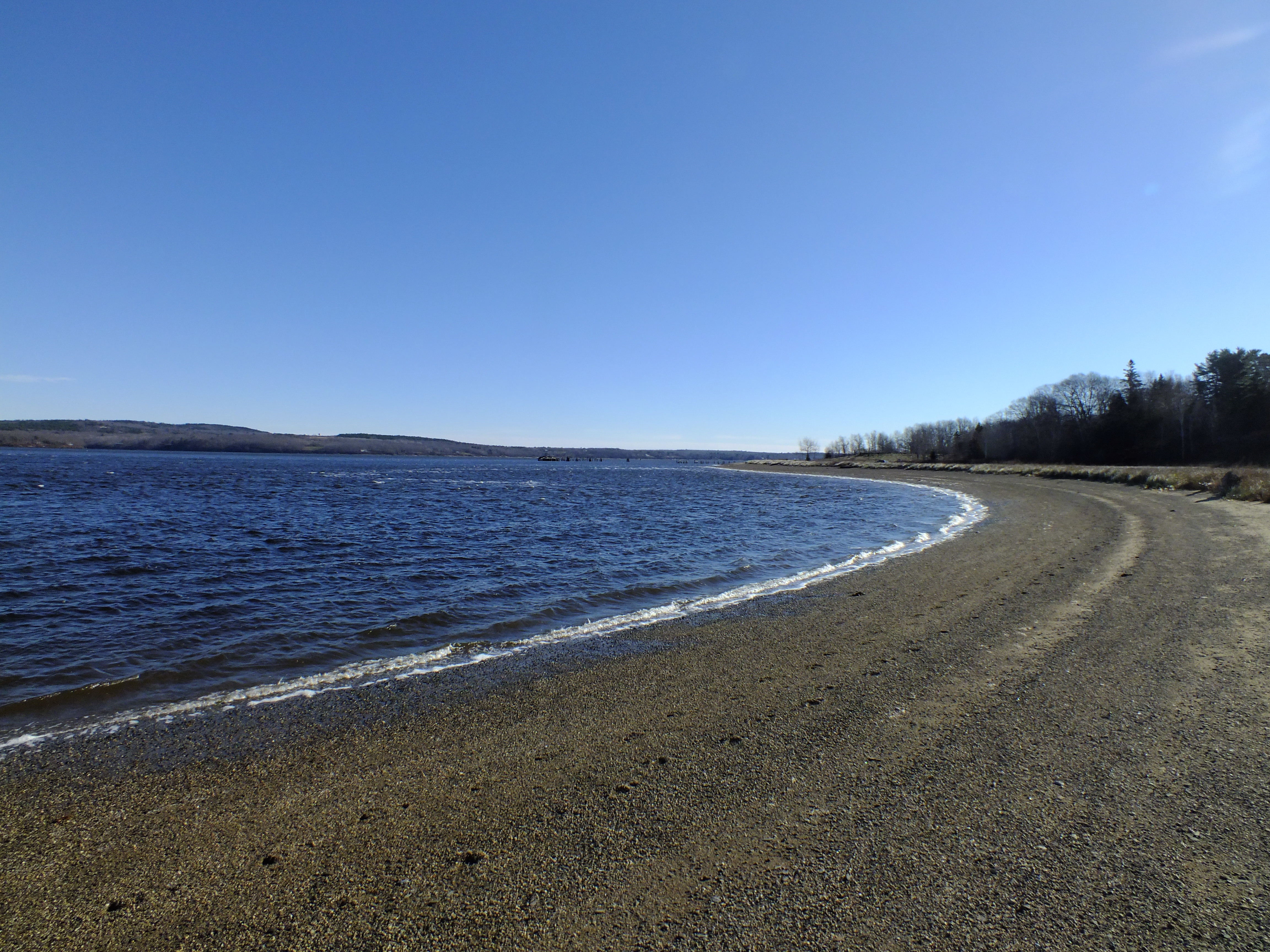
Sandy Point Beach
Camden Hills From Catapiller Hill
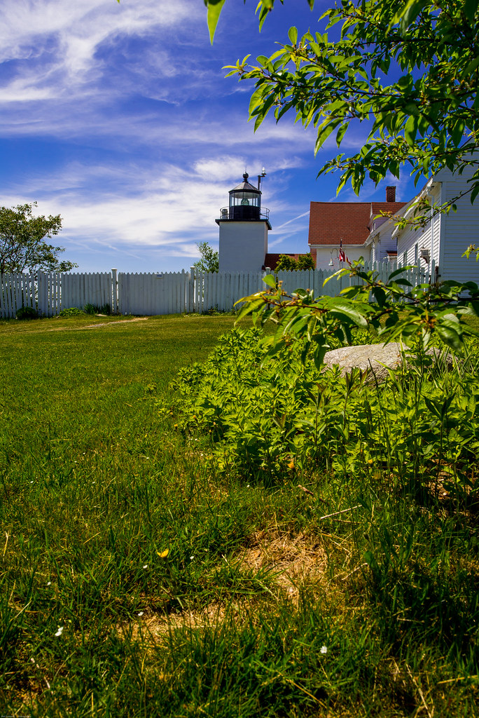
Fort Point Light House.
Rainy sunrise
2006Jul Acadia part1 (27)
Roadside Rock
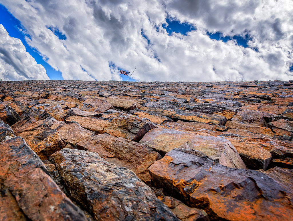
Hardened embankment below Fort Knox near Battery A
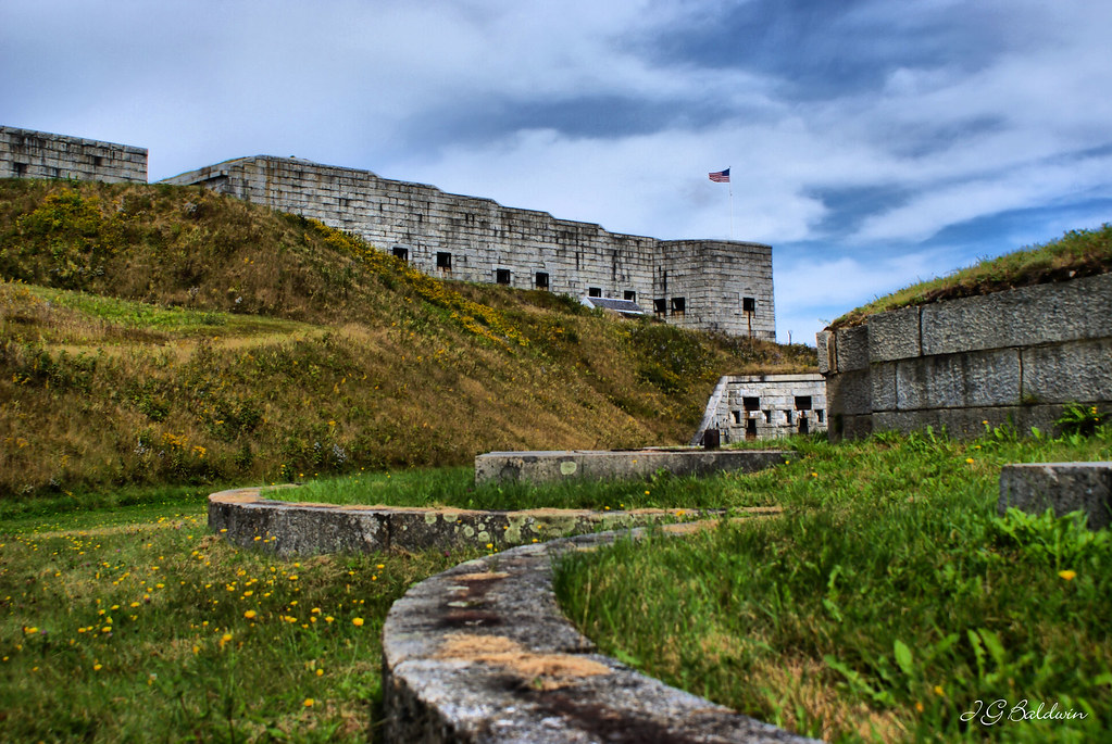
Fort Knox
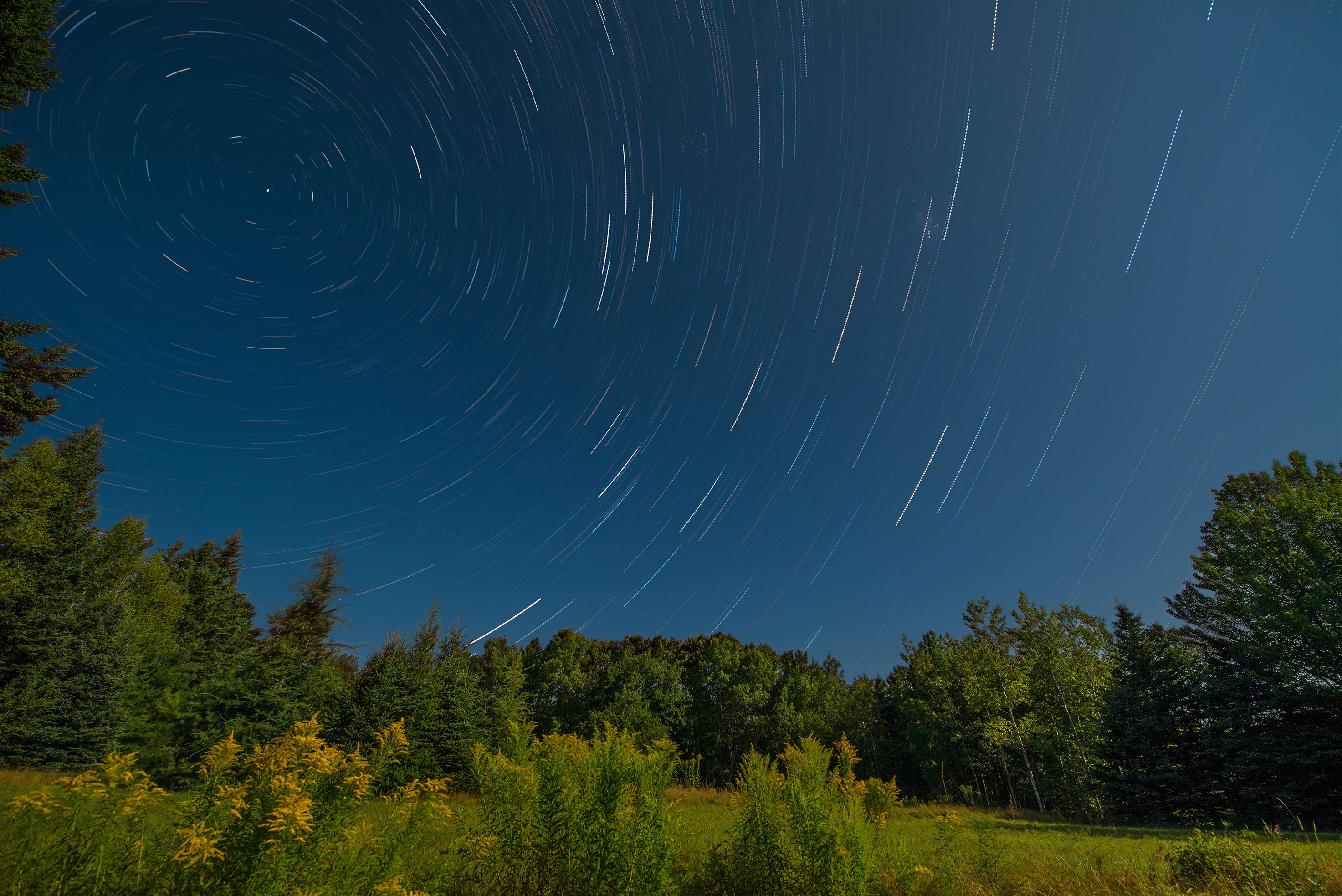
Star Trails in Maine

Some people say the sky is just the sky, but I say...
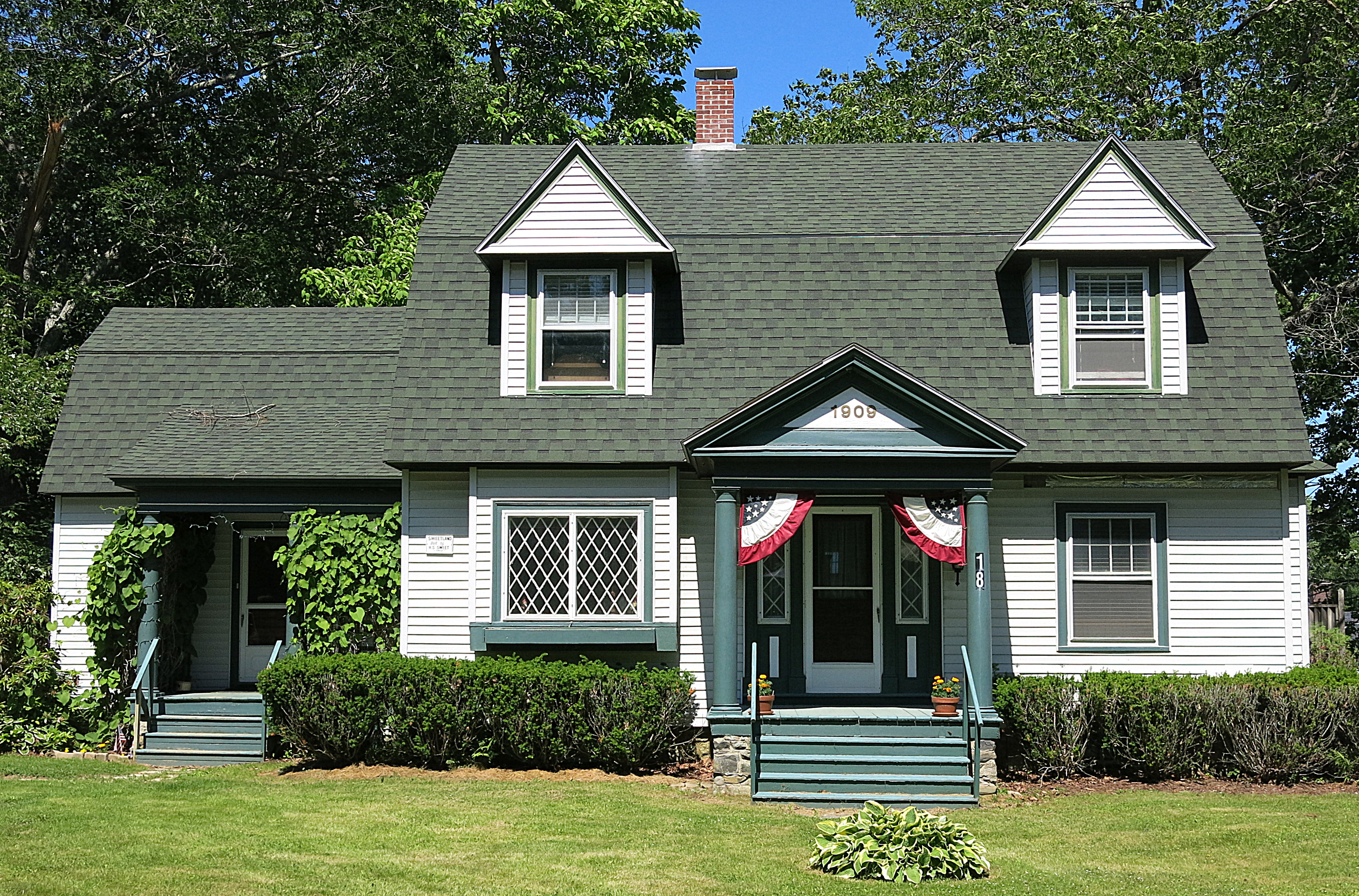
1909: A house in Blue Hill, Maine, USA
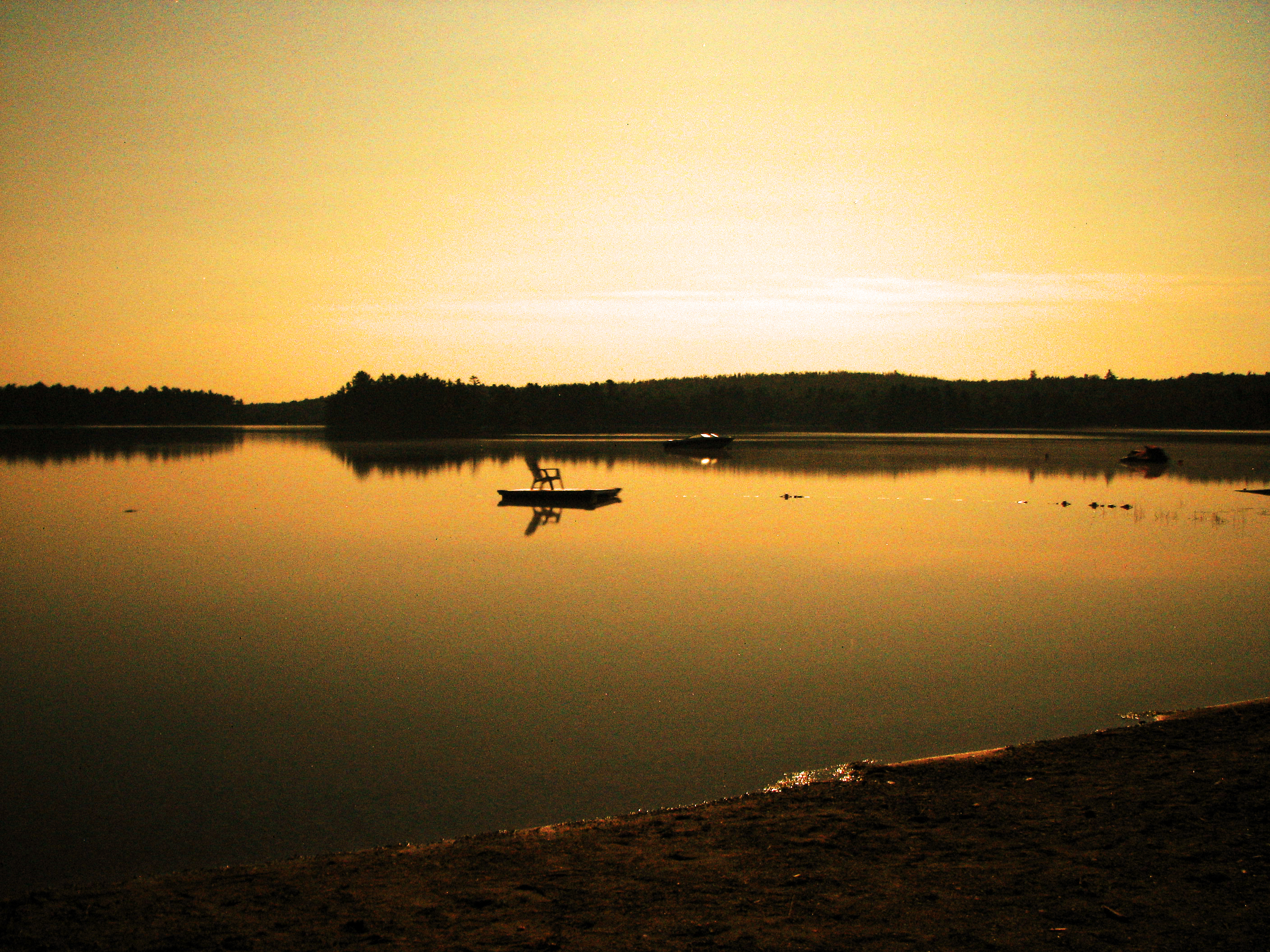
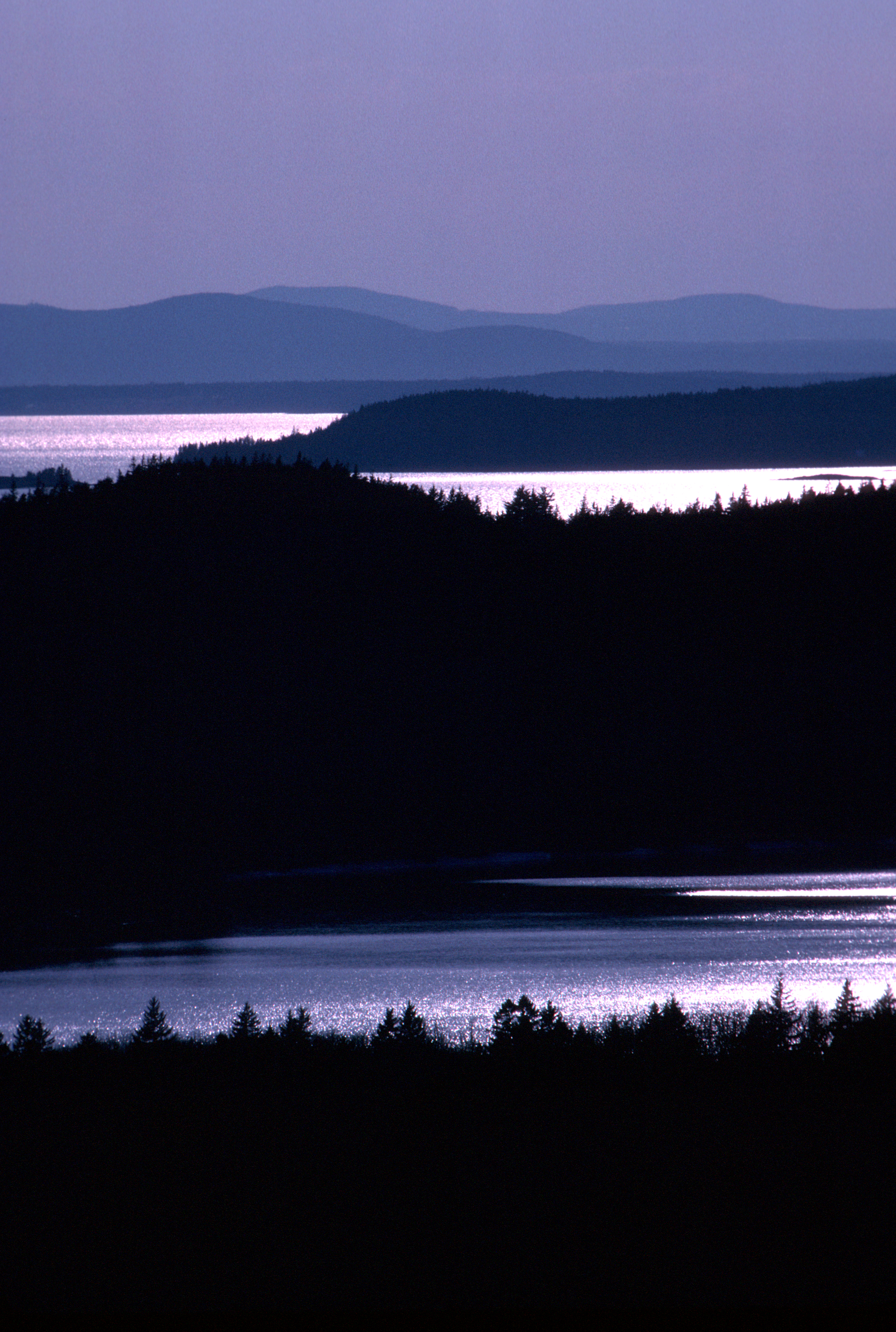
Patten Pond at night under a Full Moon
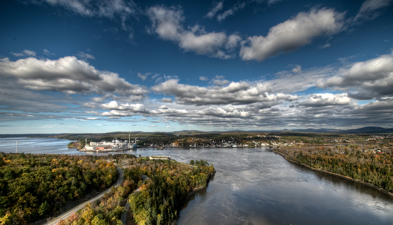
Bucksport from Penobscott Narrows Bridge Tower
Topographic Map of Southern Bay Rd, Penobscot, ME, USA
Find elevation by address:

Places near Southern Bay Rd, Penobscot, ME, USA:
95 Southern Bay Rd
Penobscot
Graytown Road
Wardwell Point Rd, Penobscot, ME, USA
919 Southern Bay Rd
26 Cradle Knolls Ln
68 Flatlander Ave
Bagaduce Farm Drive
186 Varnum Rd
Cottage Lane
68 Reynolds Rd
590 Range Rd
590 Range Rd
86 Wharf Rd
86 Wharf Rd
86 Wharf Rd
86 Wharf Rd
543 The Shore Rd
543 The Shore Rd
543 The Shore Rd
Recent Searches:
- Elevation of Congressional Dr, Stevensville, MD, USA
- Elevation of Bellview Rd, McLean, VA, USA
- Elevation of Stage Island Rd, Chatham, MA, USA
- Elevation of Shibuya Scramble Crossing, 21 Udagawacho, Shibuya City, Tokyo -, Japan
- Elevation of Jadagoniai, Kaunas District Municipality, Lithuania
- Elevation of Pagonija rock, Kranto 7-oji g. 8"N, Kaunas, Lithuania
- Elevation of Co Rd 87, Jamestown, CO, USA
- Elevation of Tenjo, Cundinamarca, Colombia
- Elevation of Côte-des-Neiges, Montreal, QC H4A 3J6, Canada
- Elevation of Bobcat Dr, Helena, MT, USA