Elevation of Southern Bay Rd, Penobscot, ME, USA
Location: United States > Maine > Hancock County > Penobscot >
Longitude: -68.699881
Latitude: 44.4108992
Elevation: 37m / 121feet
Barometric Pressure: 101KPa
Elevation Map:
Satellite Map:
Related Photos:
Campsite, Sears Island, Maine
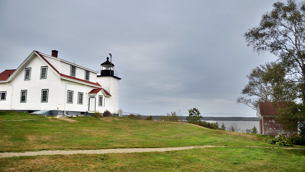
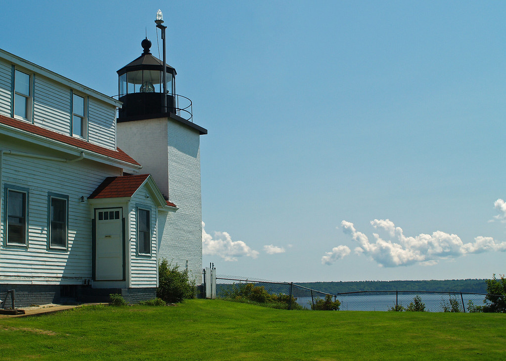
Fort Point Light, Northeast Side View
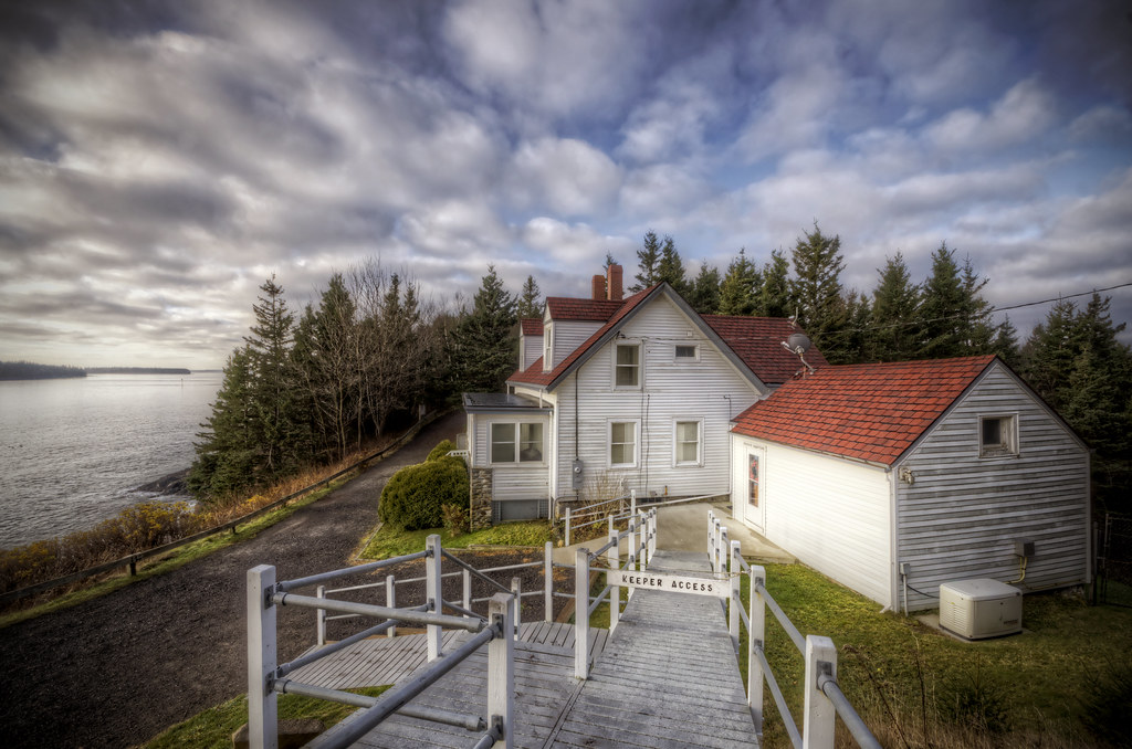
Keeper's Access
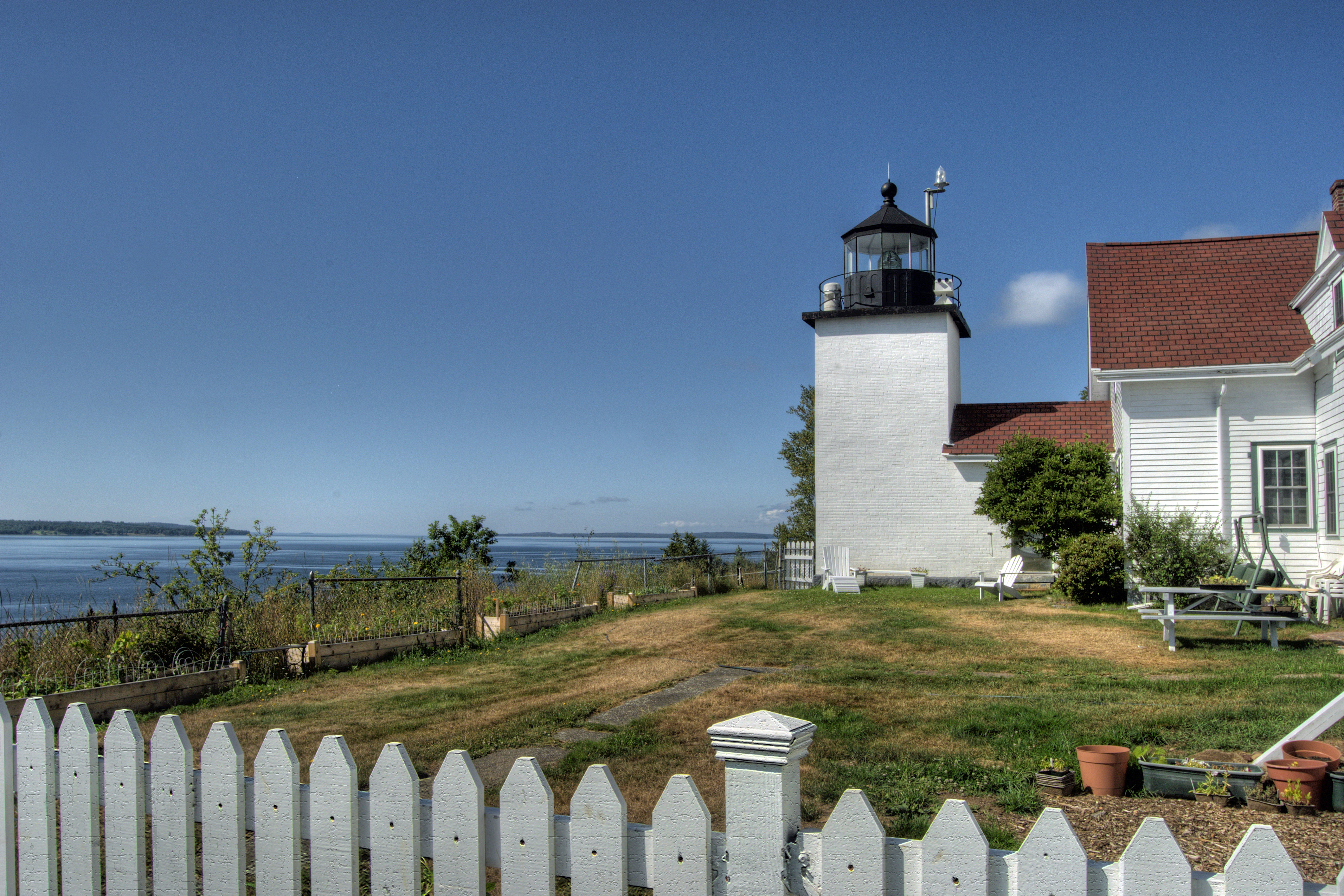
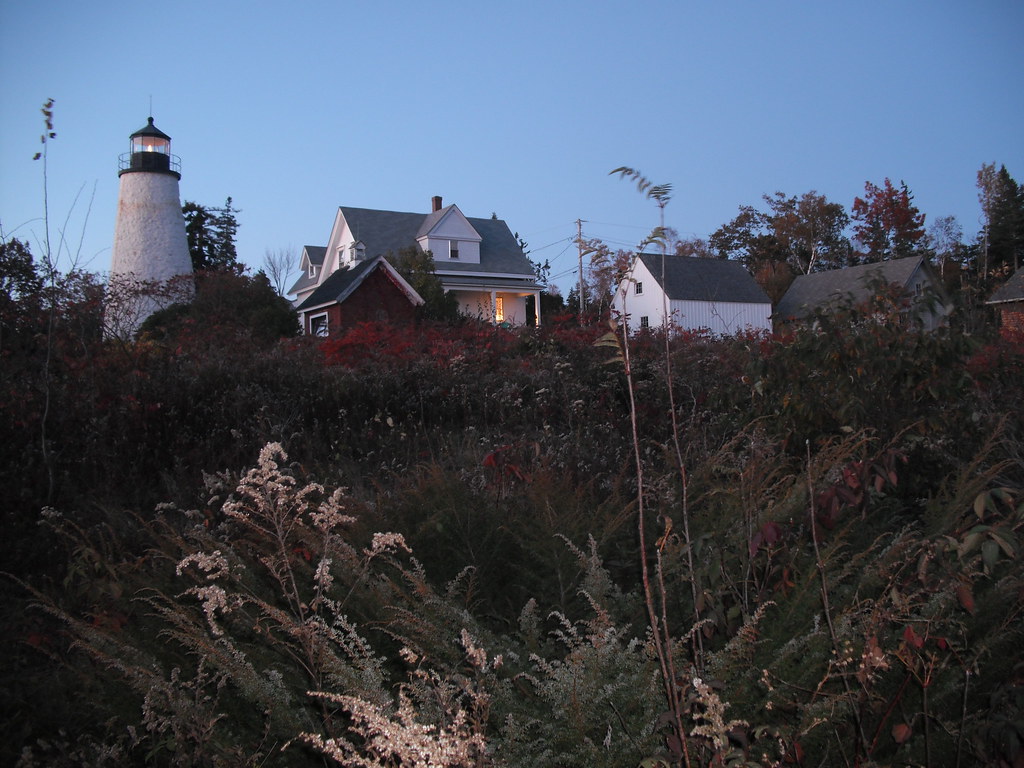
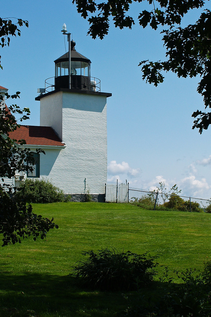
Fort Point Lighthouse, Maine

R_20090831181356_162-Edit
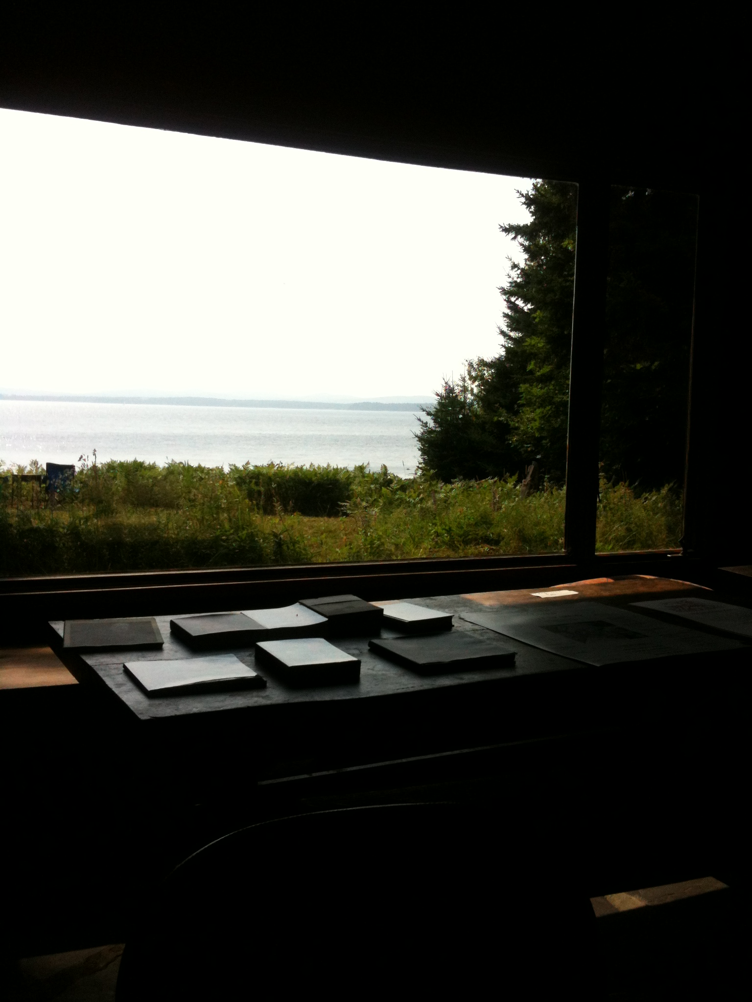
View from the Good Life Center

The lighthouse at Fort Point, Maine
WP_20140818_19_16_13_Raw.jpg
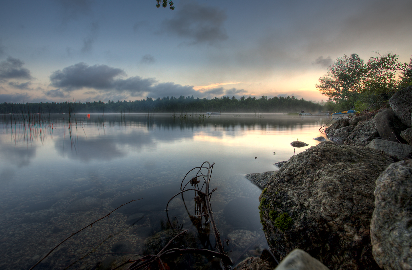
A misty Toddy Pond
Dyce Head Light in Castine, Maine

Aerial View (1) of the Deer Isle - Sedgwick Bridge
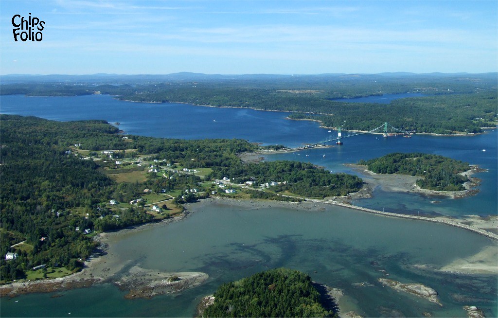
Aerial View of Little Deer Isle and the Deer Isle - Sedgwick Bridge

Sausage at the Fair
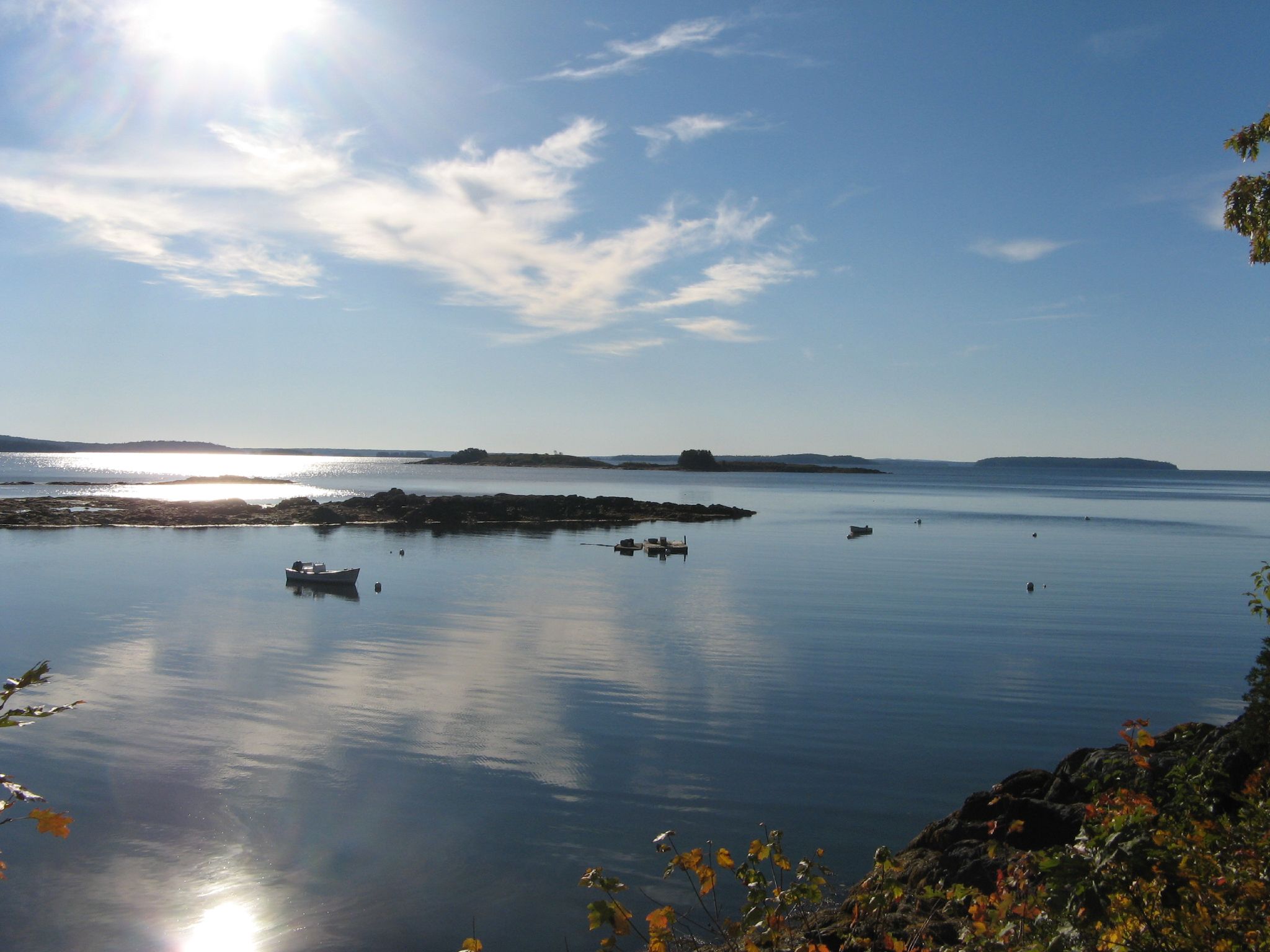
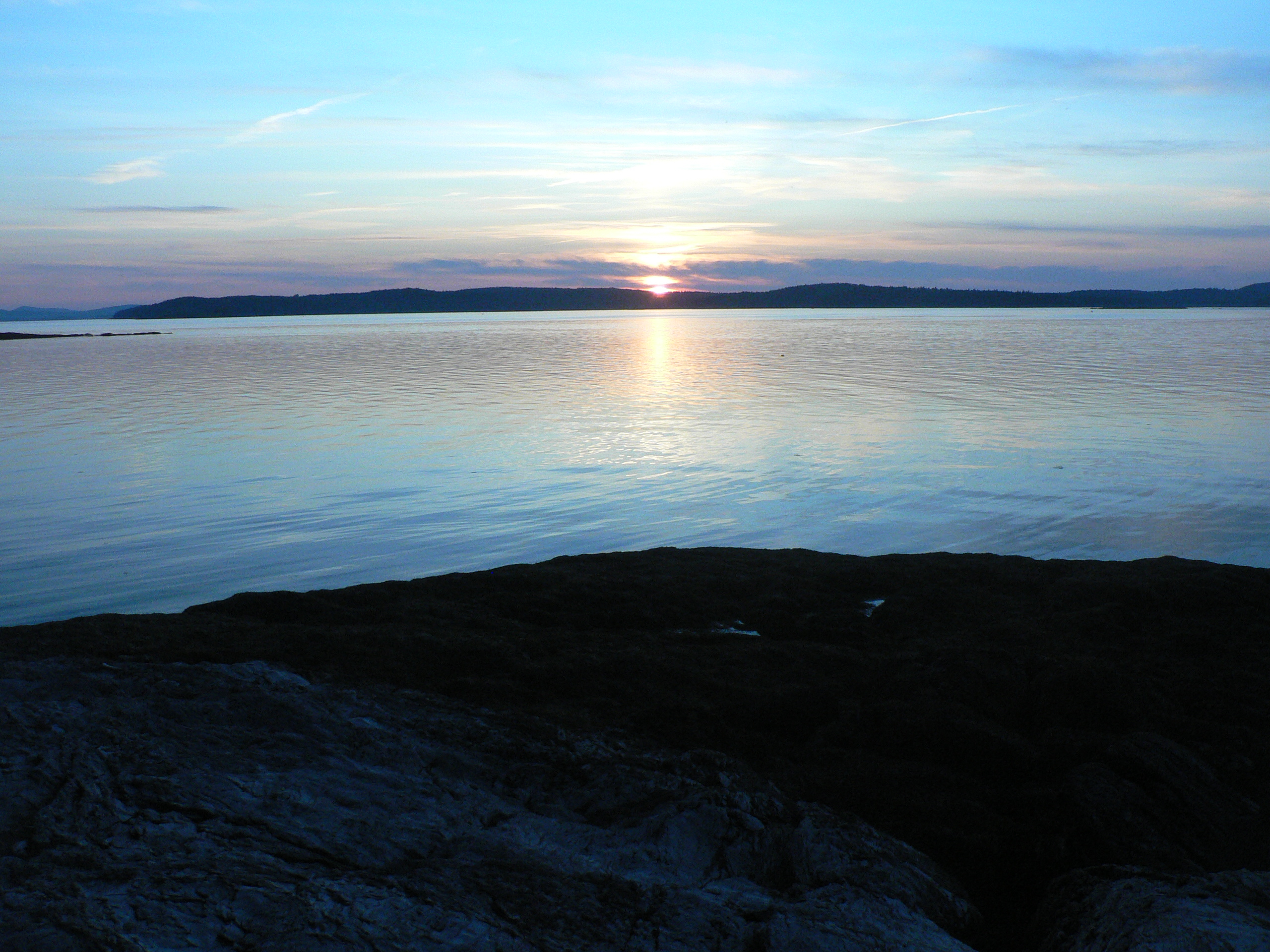
Penobscot View
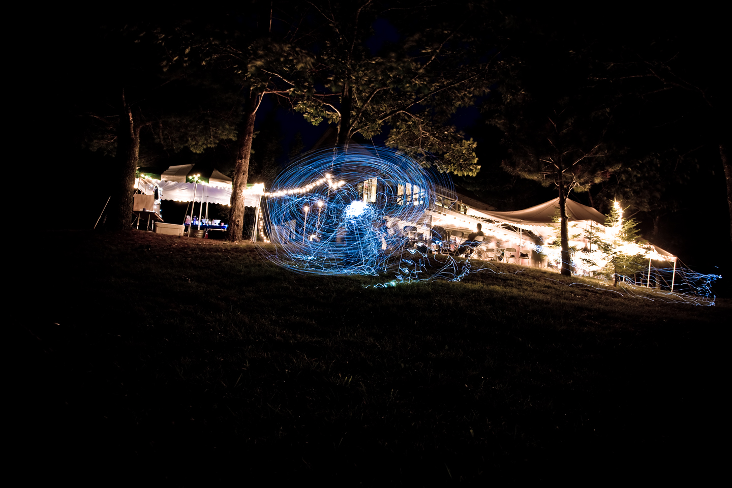
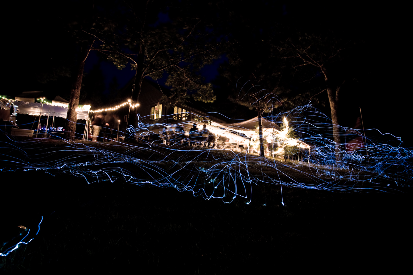
Light trails

Floral View
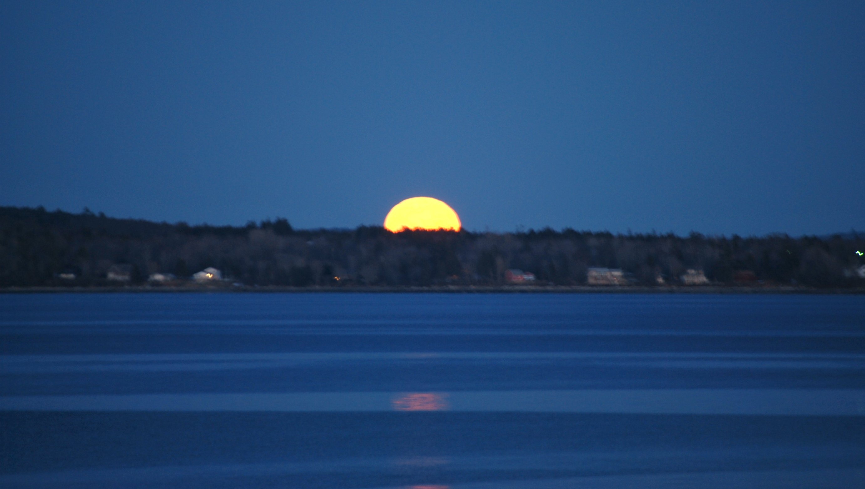
Maine view of Supermoon
Light trails
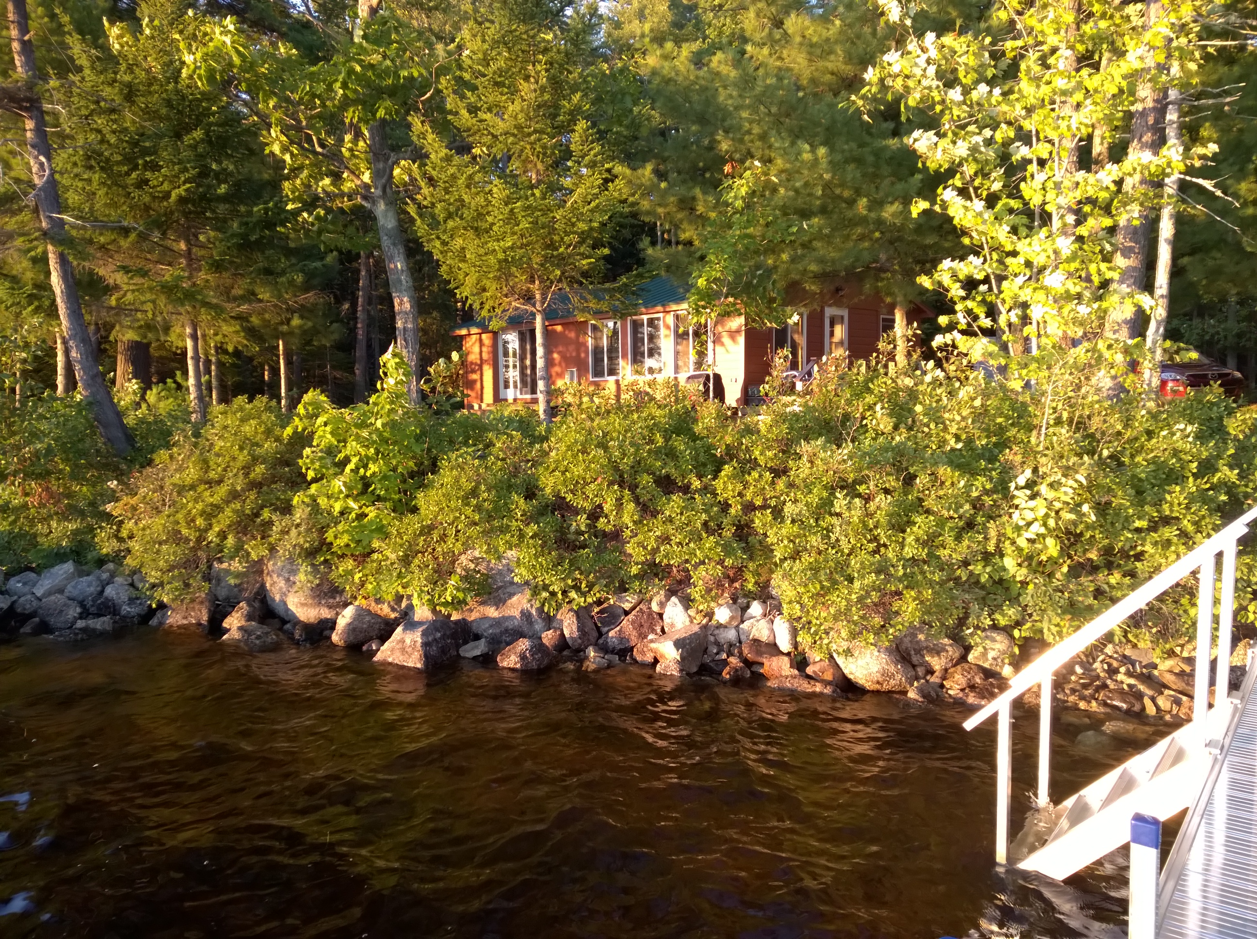
View from cabin at Hiram Blake Camp

View From A Hill
A Shaded View

The Mill Stream and Harbor
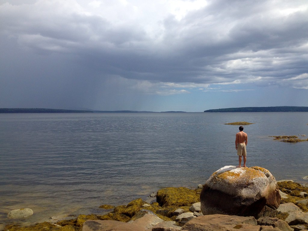
Man & the Sea

British Canal

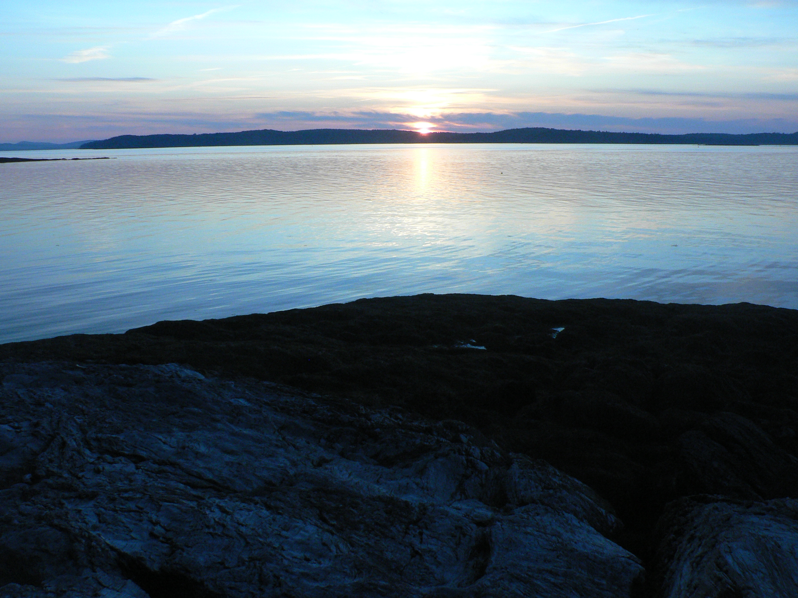
Thresholds sunset - Little Deer Isle ME 20090721 064
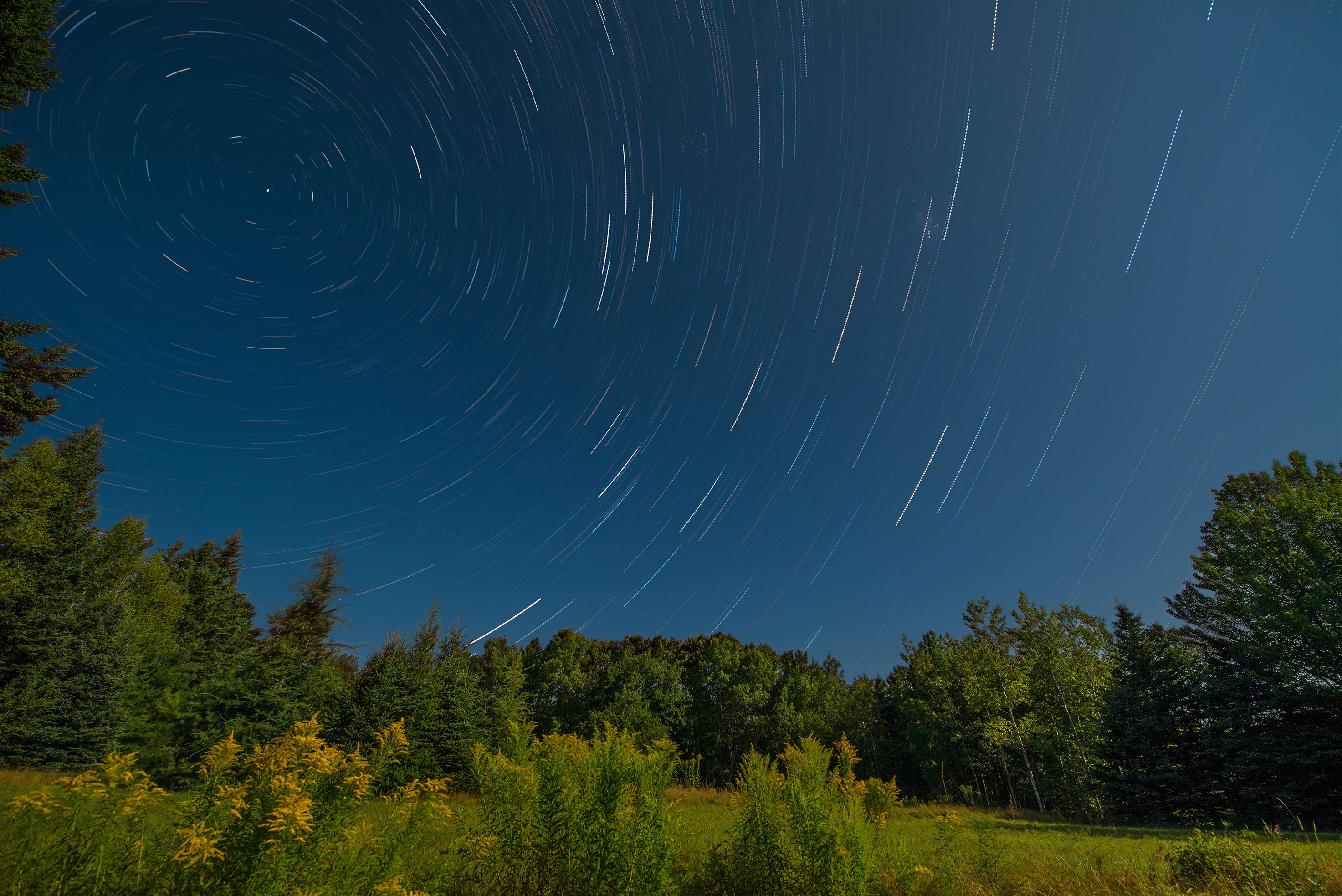
Star Trails in Maine

Thresholds sunset - Little Deer Isle ME 20090721 066
Thresholds sunset - Little Deer Isle ME 20090711 036
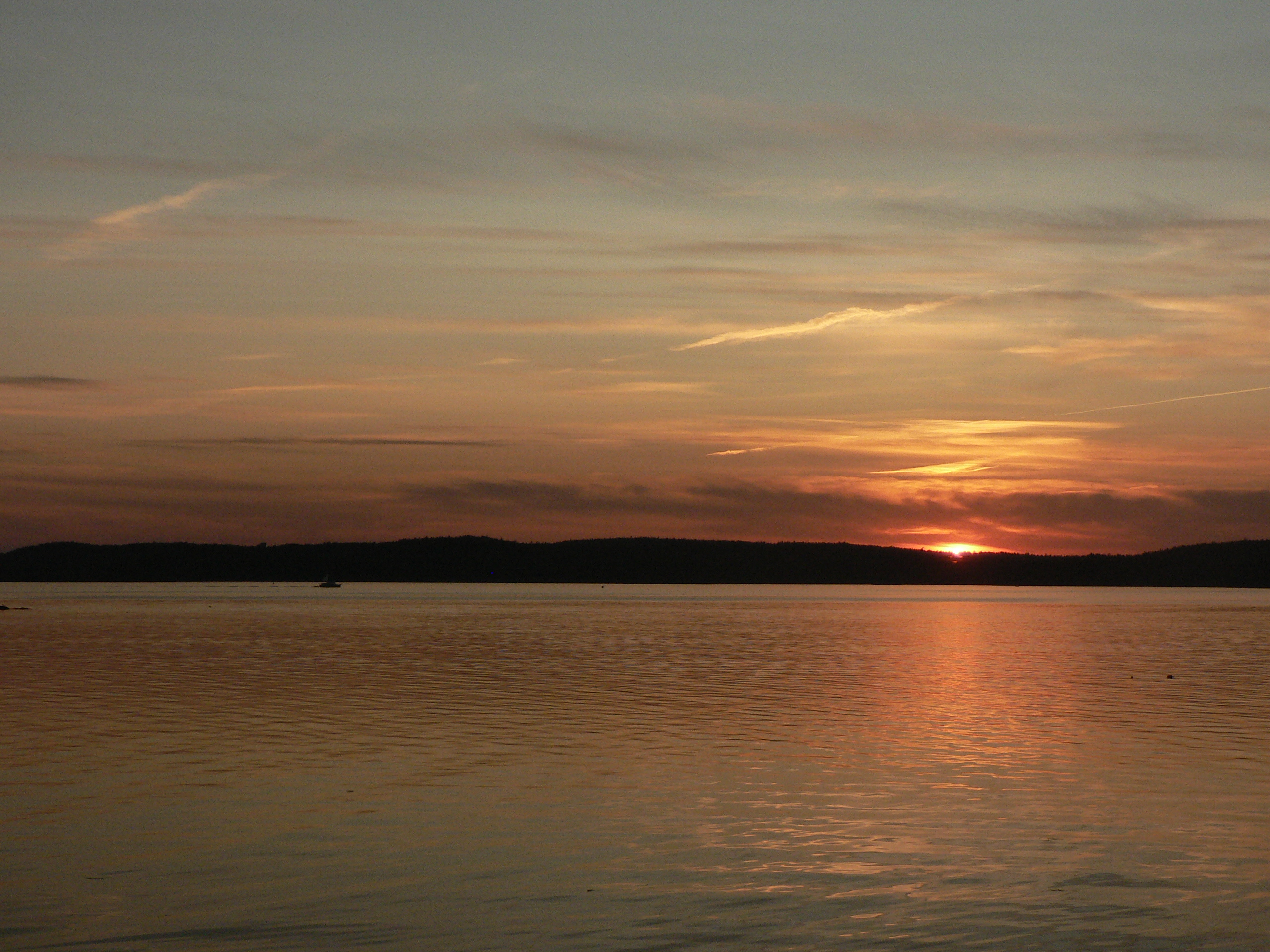
Thresholds sunset - Little Deer Isle ME 20090711 051

Thresholds sunset - Little Deer Isle ME 20090711 034

Blue Hill Mountain
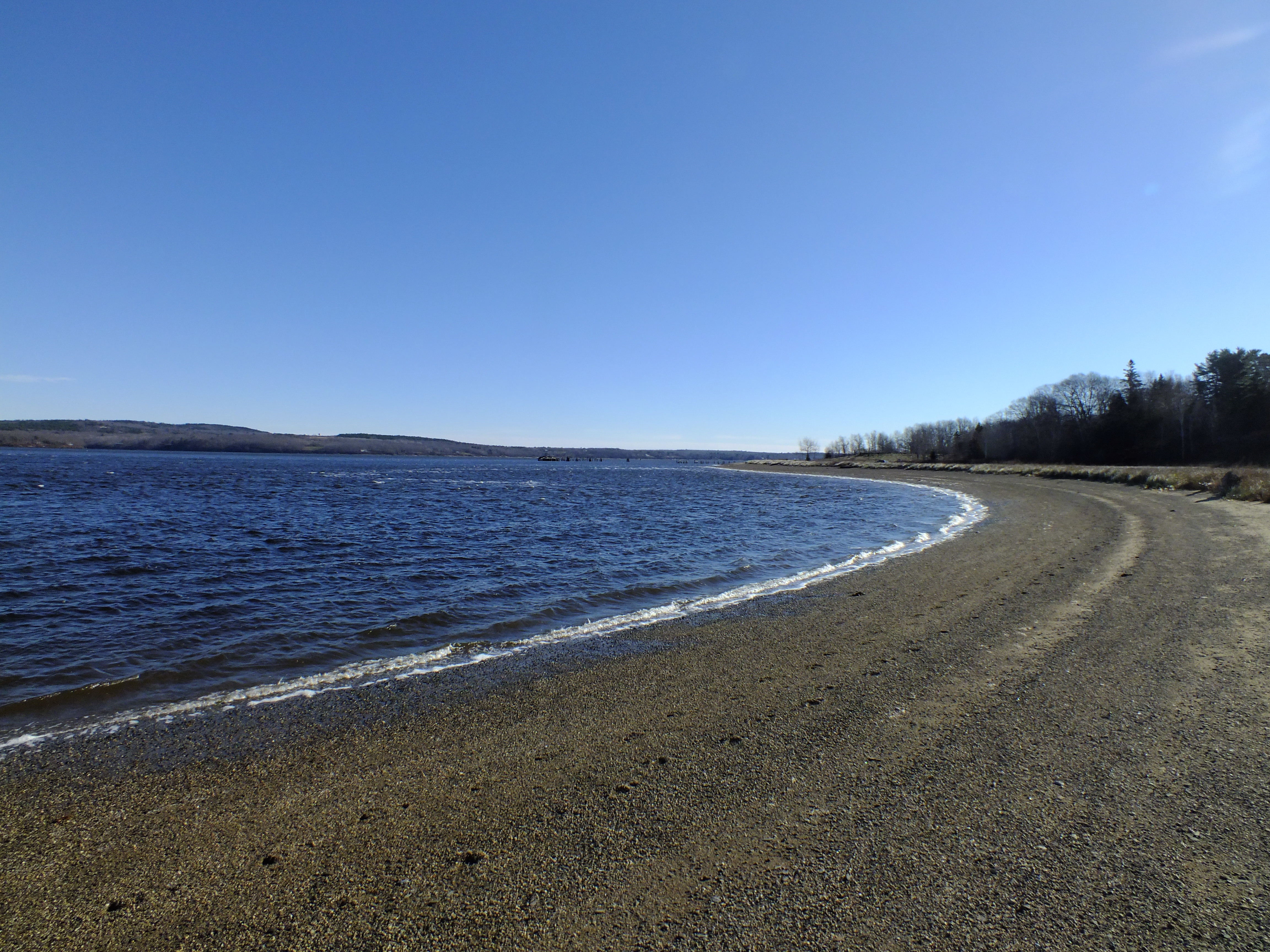
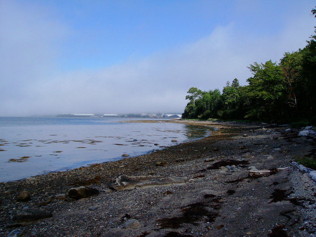
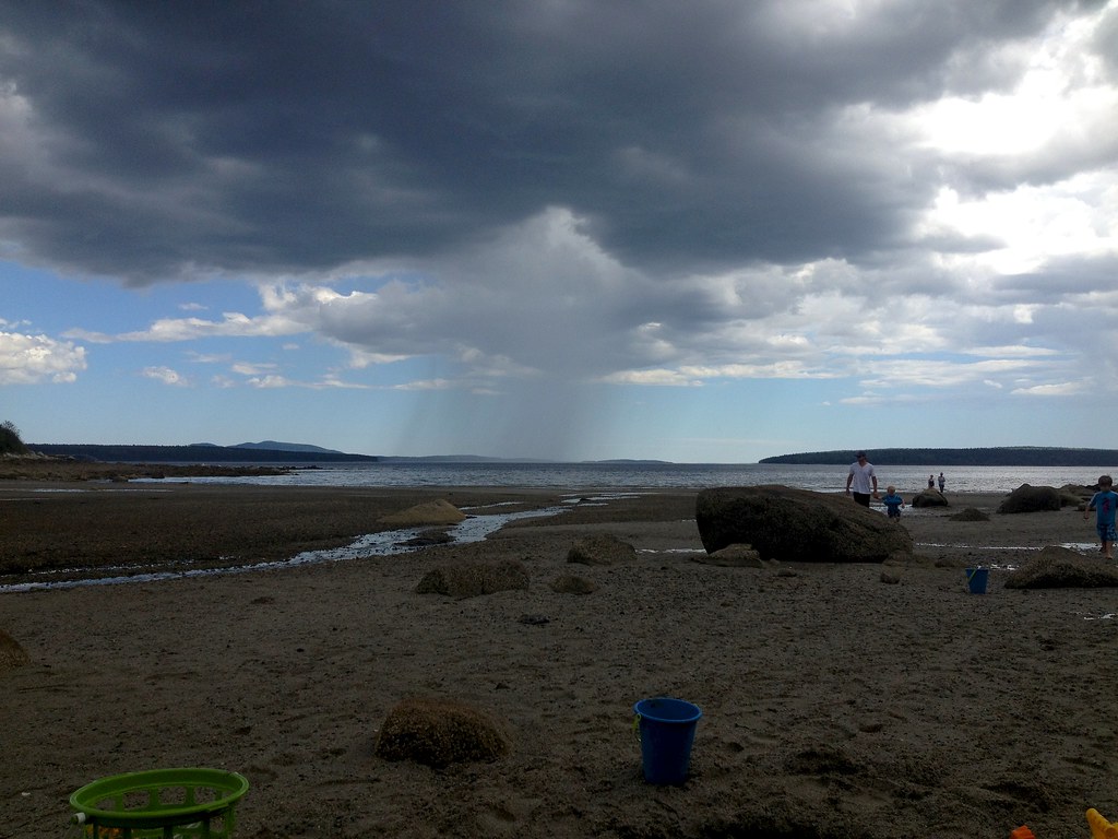
Sandy Point Beach
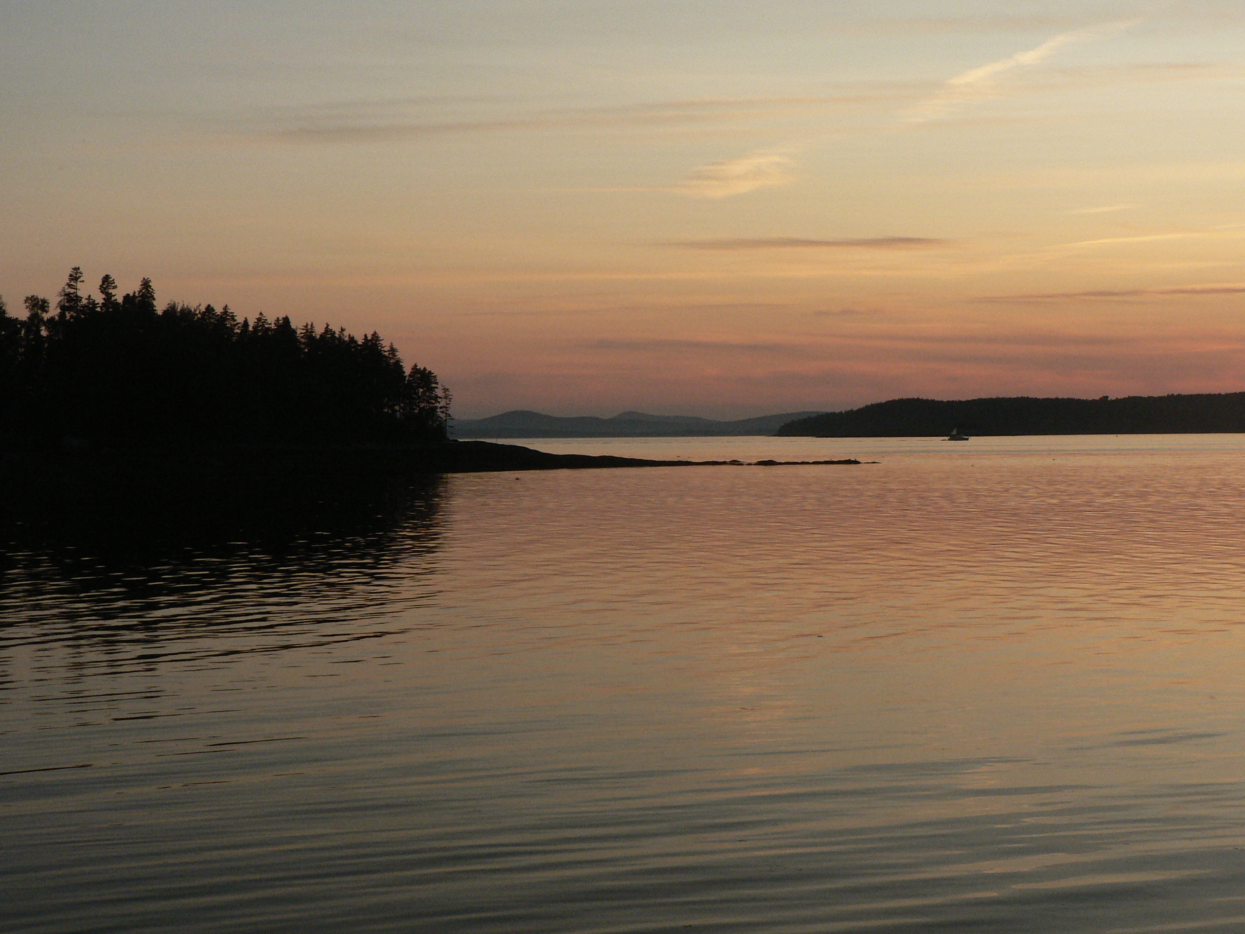
Thresholds sunset - Little Deer Isle ME 20090711 050
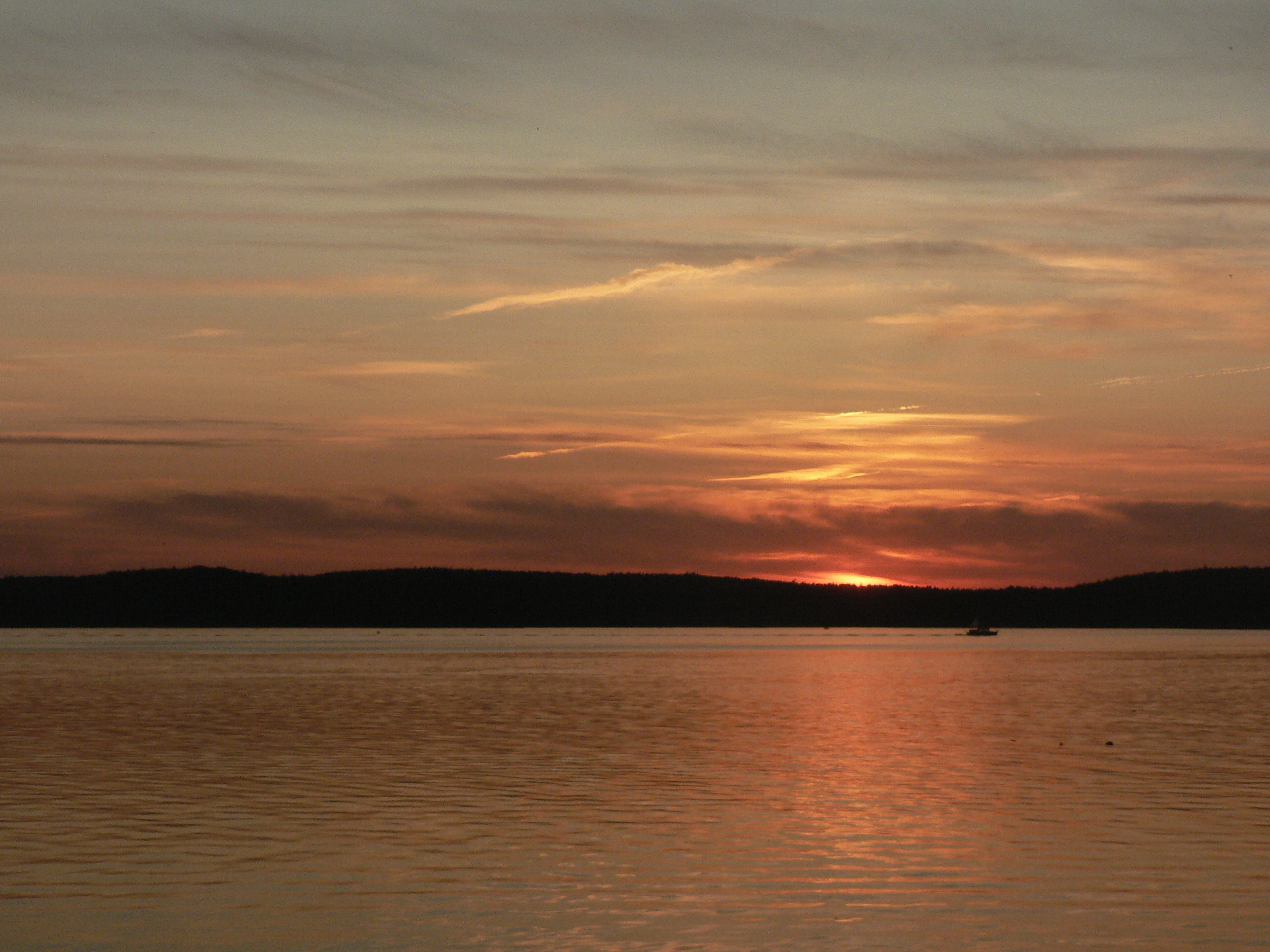
Thresholds sunset - Little Deer Isle ME 20090711 055
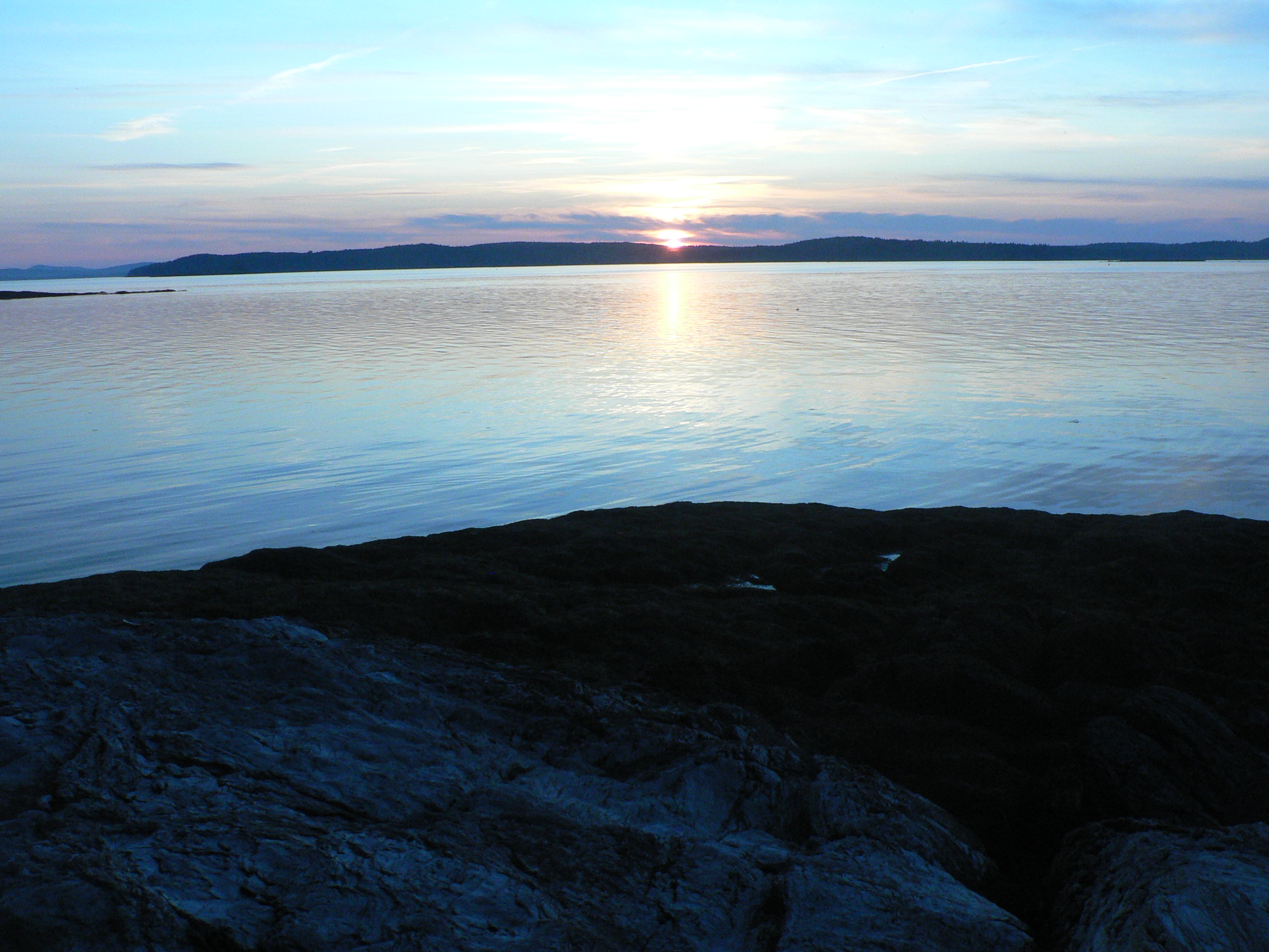
Thresholds sunset - Little Deer Isle ME 20090711 037

Thresholds sunset - Little Deer Isle ME 20090711 054
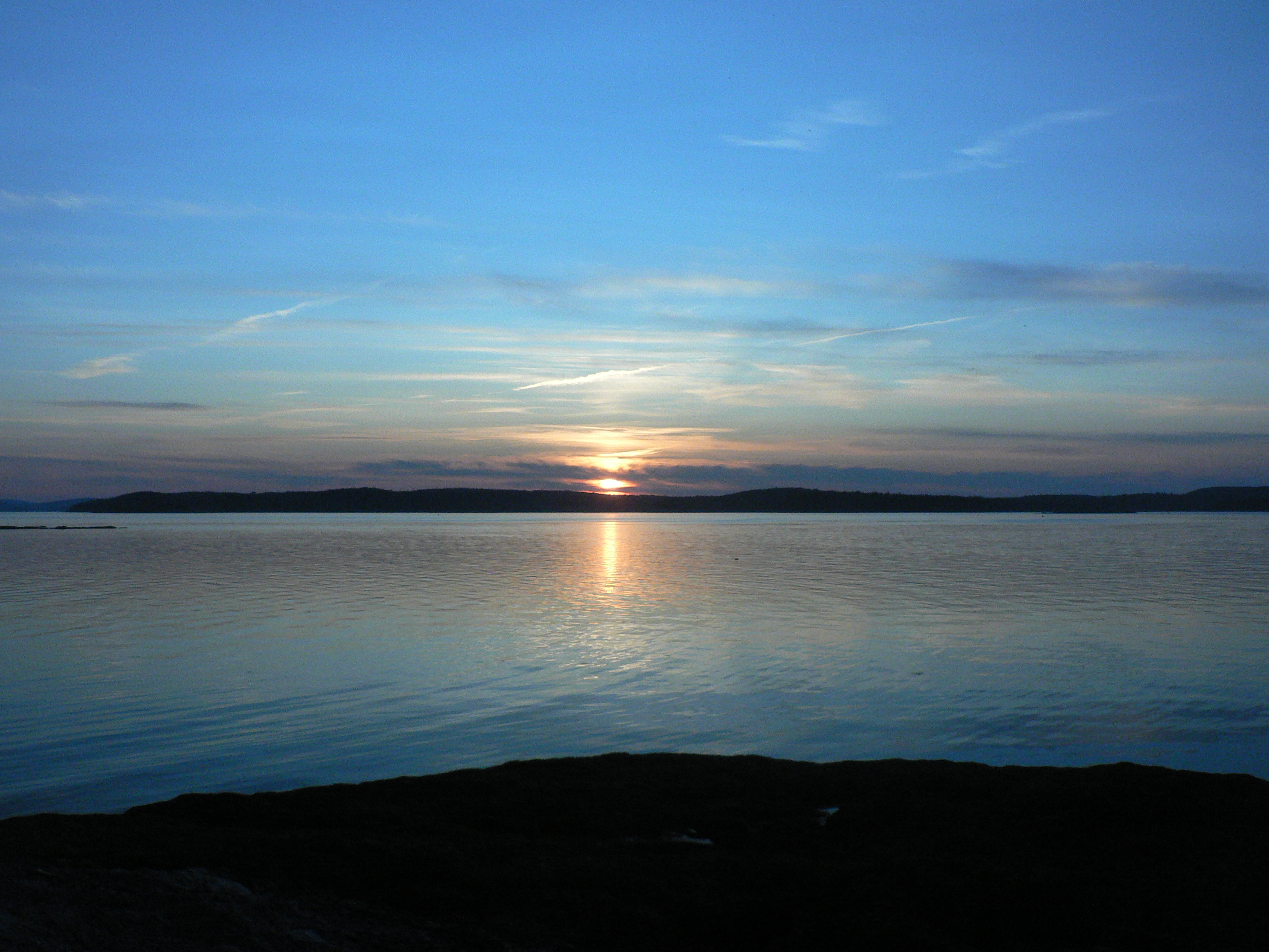
Thresholds sunset - Little Deer Isle ME 20090711 035

Early Morning Hike
Thresholds sunset - Little Deer Isle ME 20090711 038

Thresholds sunset - Little Deer Isle ME 20090711 041

Thresholds sunset - Little Deer Isle ME 20090711 039
Rain & Sea
Topographic Map of Southern Bay Rd, Penobscot, ME, USA
Find elevation by address:

Places near Southern Bay Rd, Penobscot, ME, USA:
26 Cradle Knolls Ln
Graytown Road
68 Flatlander Ave
Bagaduce Farm Drive
226 Southern Bay Rd
186 Varnum Rd
95 Southern Bay Rd
Wardwell Point Rd, Penobscot, ME, USA
Penobscot
151 Coastal Rd
151 Coastal Rd
68 Reynolds Rd
Brooksville
205 Old County Rd
205 Old County Rd
205 Old County Rd
118 Coastal Rd
86 Wharf Rd
86 Wharf Rd
86 Wharf Rd
Recent Searches:
- Elevation of Zimmer Trail, Pennsylvania, USA
- Elevation of 87 Kilmartin Ave, Bristol, CT, USA
- Elevation of Honghe National Nature Reserve, QP95+PJP, Tongjiang, Heilongjiang, Jiamusi, Heilongjiang, China
- Elevation of Hercules Dr, Colorado Springs, CO, USA
- Elevation of Szlak pieszy czarny, Poland
- Elevation of Griffing Blvd, Biscayne Park, FL, USA
- Elevation of Kreuzburger Weg 13, Düsseldorf, Germany
- Elevation of Gateway Blvd SE, Canton, OH, USA
- Elevation of East W.T. Harris Boulevard, E W.T. Harris Blvd, Charlotte, NC, USA
- Elevation of West Sugar Creek, Charlotte, NC, USA