Elevation of 68 Flatlander Ave, Brooksville, ME, USA
Location: United States > Maine > Hancock County > Brooksville >
Longitude: -68.720292
Latitude: 44.390739
Elevation: 37m / 121feet
Barometric Pressure: 101KPa
Elevation Map:
Satellite Map:
Related Photos:
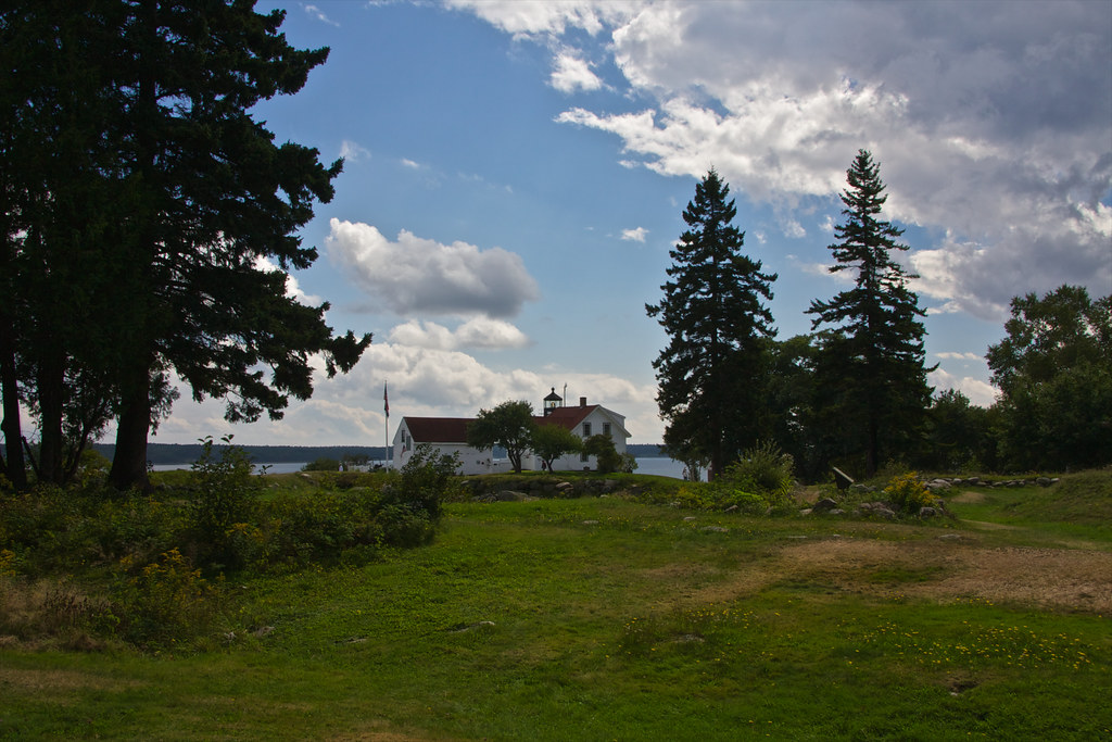
Fort Point Lighthouse, Maine

High Tide 3D Cross View

Dyce Head Lighthouse

Second Time Around

View from Caterpillar Hill

Fort Point Lighthouse

View from the Good Life Center

Aerial View (1) of the Deer Isle - Sedgwick Bridge

Waterside Home

Aerial View of Little Deer Isle and the Deer Isle - Sedgwick Bridge

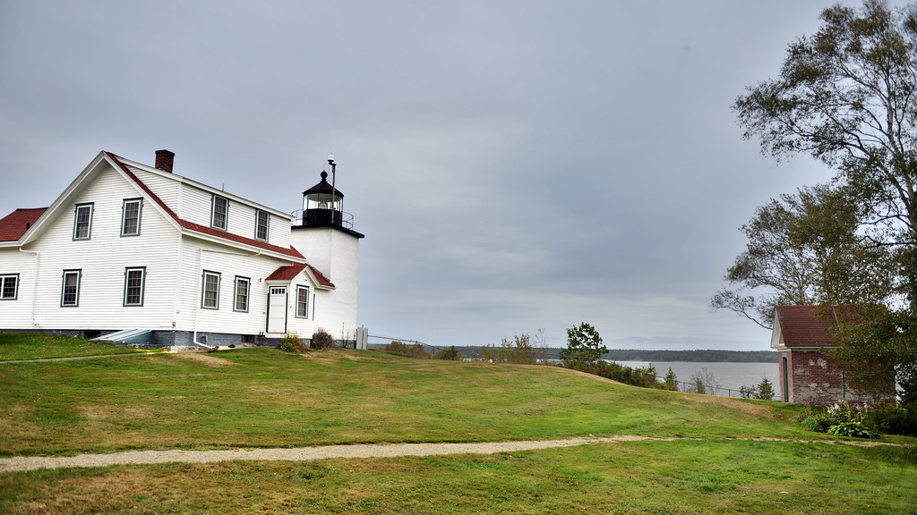
The lighthouse at Fort Point, Maine

view of the ocean

The Camden Hills

Penobscot View

Fort Point Light, Northeast Side View

Sausage at the Fair
View from Bah's Bakehouse

Street View

View of Bagaduce River in Castine

View of Castine harbor

Islesboro riding farm

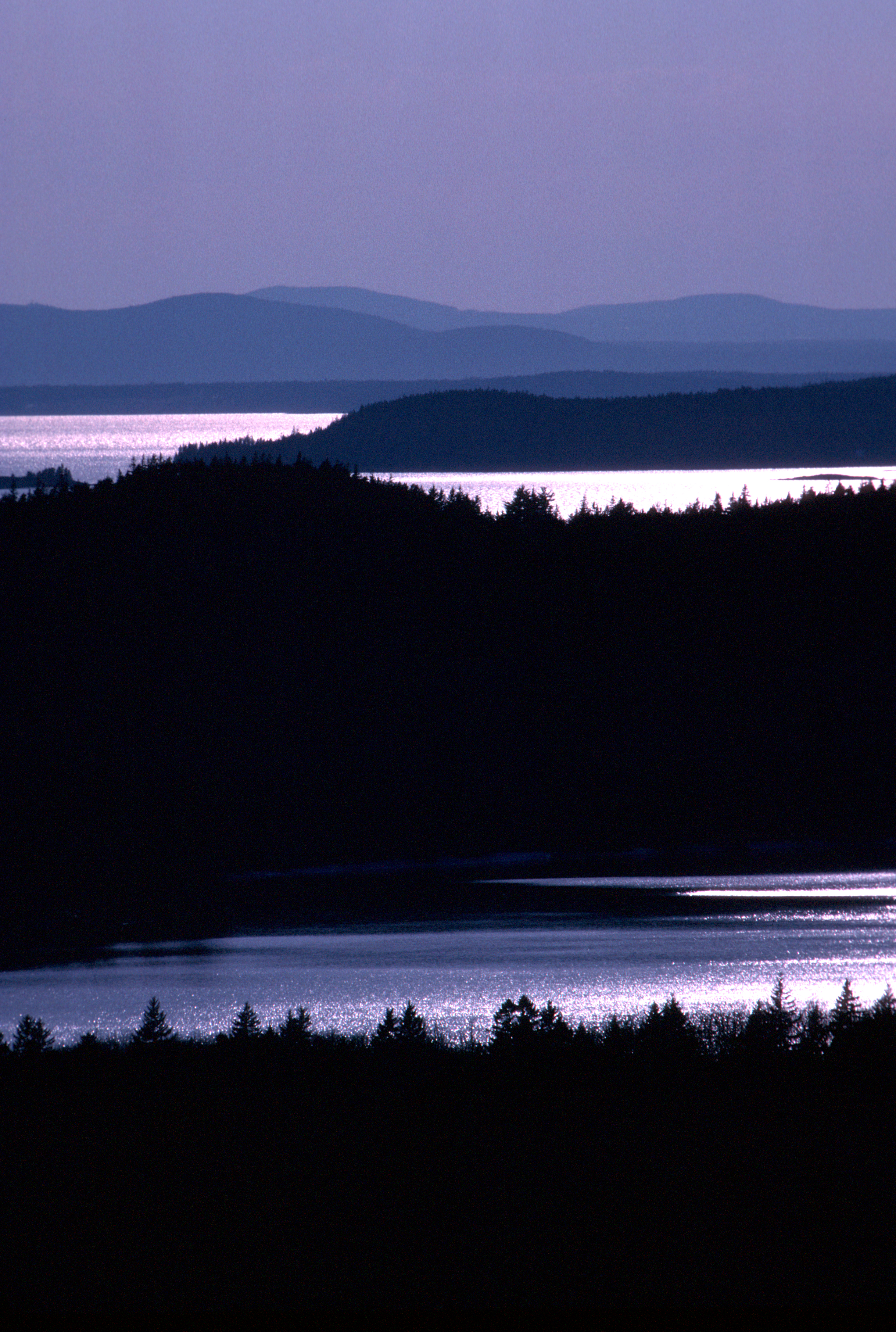
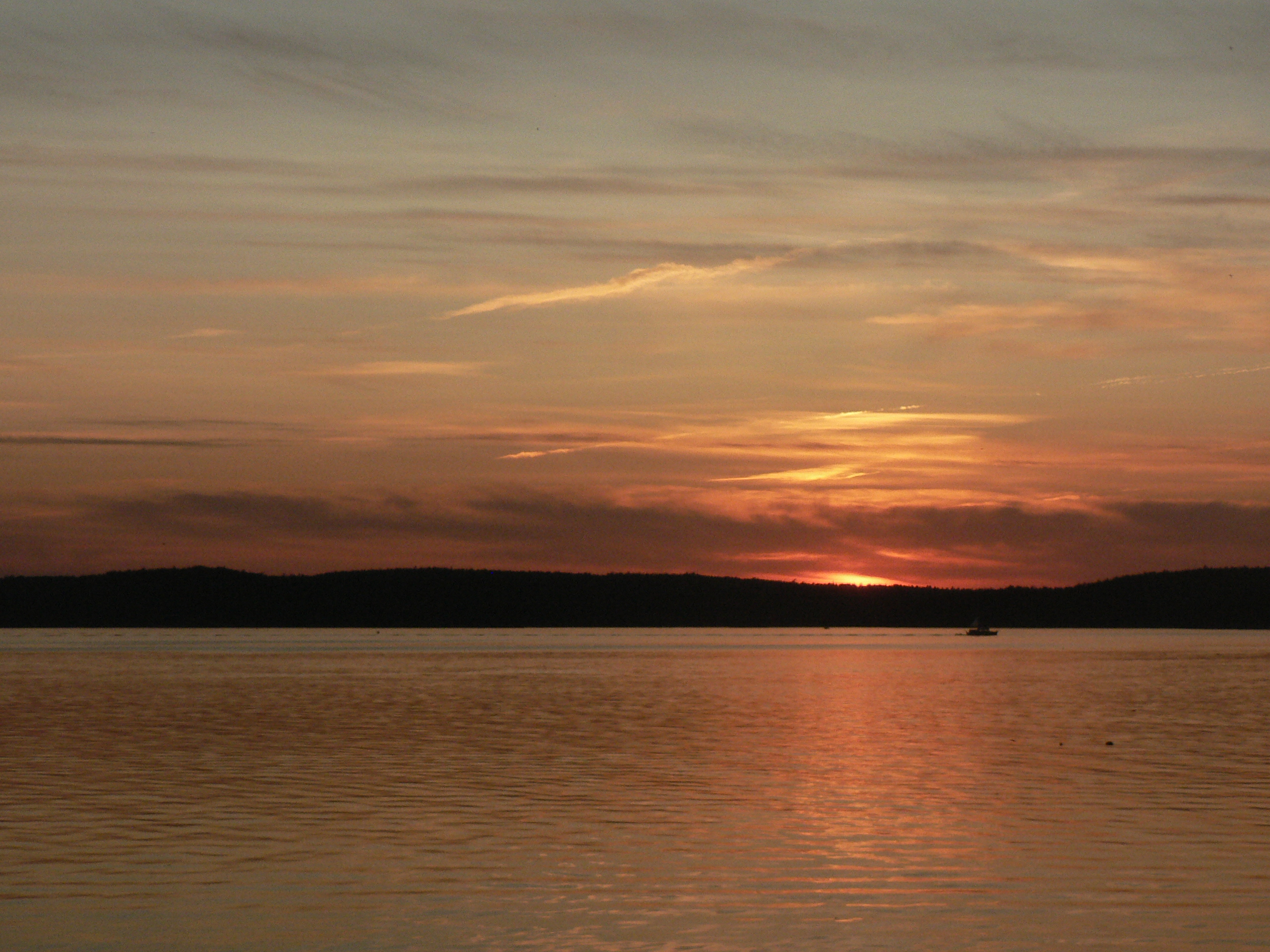
Sunset on Blue Hill Bay

(drive) ... on the water
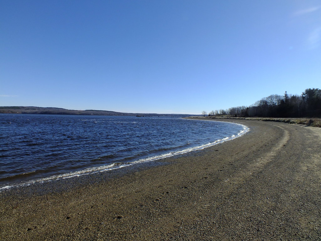
Sandy Point Beach

Blue Hill Dock

Thresholds sunset - Little Deer Isle ME 20090711 051
Camden Hills From Catapiller Hill
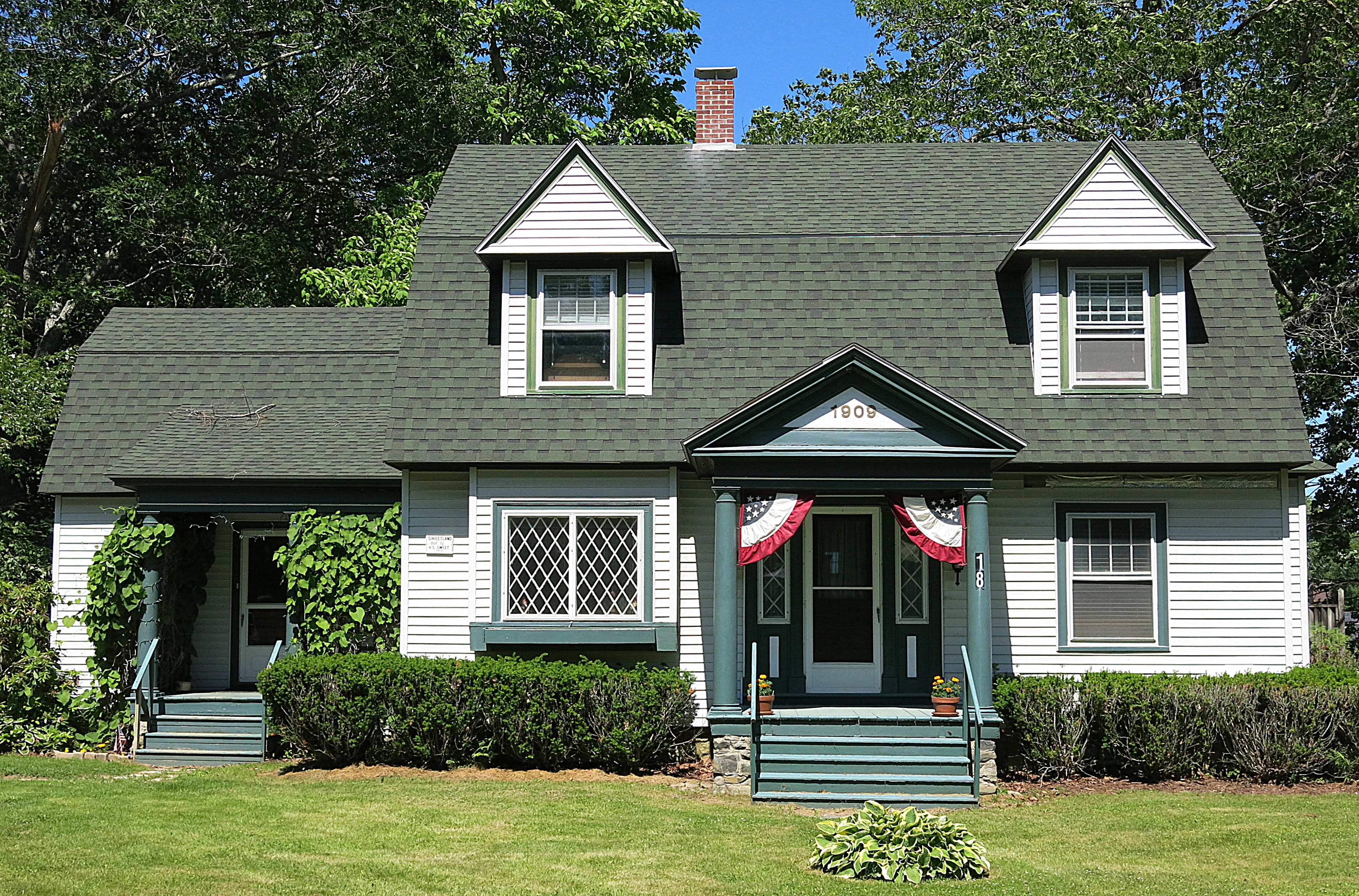
1909: A house in Blue Hill, Maine, USA

Thresholds sunset - Little Deer Isle ME 20090711 054

Shore 3883

Thresholds sunset - Little Deer Isle ME 20090711 036

Warm Light

Thresholds sunset - Little Deer Isle ME 20090711 050

Van Buren's - Little Deer Isle ME 20090714091

Thresholds sunset - Little Deer Isle ME 20090721 077

Thresholds - Little Deer Isle ME 20090720 550

Thresholds sunset - Little Deer Isle ME 20090711 041

Fort Point Light House.
Thresholds sunset - Little Deer Isle ME 20090711 055
Fort Point Light

2007 277
Topographic Map of 68 Flatlander Ave, Brooksville, ME, USA
Find elevation by address:

Places near 68 Flatlander Ave, Brooksville, ME, USA:
186 Varnum Rd
919 Southern Bay Rd
26 Cradle Knolls Ln
Graytown Road
258 Coastal Rd
706 Coastal Rd
1001 Coastal Rd
86 Wharf Rd
86 Wharf Rd
86 Wharf Rd
86 Wharf Rd
68 Reynolds Rd
706 Coastal Rd
Bagaduce Farm Drive
151 Coastal Rd
151 Coastal Rd
15 Timothy Ln
Brooksville
205 Old County Rd
205 Old County Rd
Recent Searches:
- Elevation of 62 Abbey St, Marshfield, MA, USA
- Elevation of Fernwood, Bradenton, FL, USA
- Elevation of Felindre, Swansea SA5 7LU, UK
- Elevation of Leyte Industrial Development Estate, Isabel, Leyte, Philippines
- Elevation of W Granada St, Tampa, FL, USA
- Elevation of Pykes Down, Ivybridge PL21 0BY, UK
- Elevation of Jalan Senandin, Lutong, Miri, Sarawak, Malaysia
- Elevation of Bilohirs'k
- Elevation of 30 Oak Lawn Dr, Barkhamsted, CT, USA
- Elevation of Luther Road, Luther Rd, Auburn, CA, USA