Elevation of South Plymouth, NY, USA
Location: United States > New York > Chenango County > Plymouth >
Longitude: -75.564349
Latitude: 42.5814604
Elevation: 347m / 1138feet
Barometric Pressure: 97KPa
Elevation Map:
Satellite Map:
Related Photos:
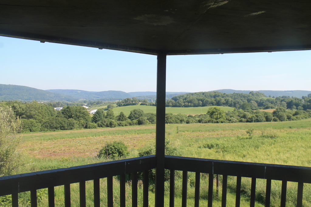
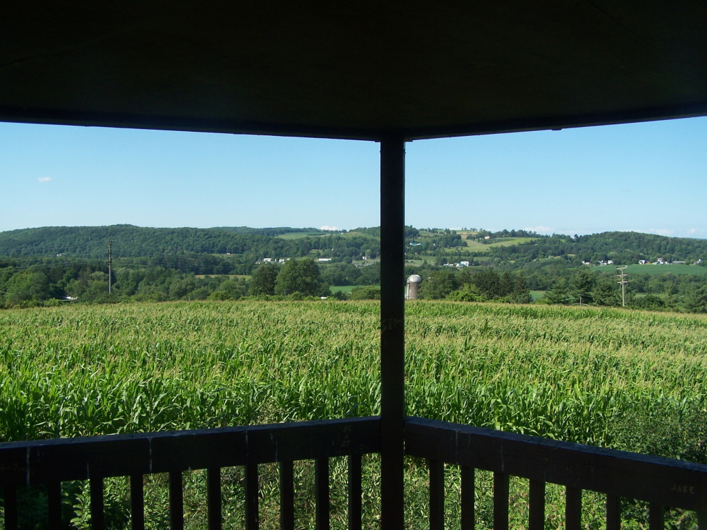
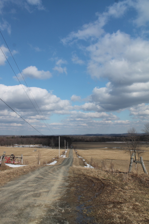
View from Farm Tower
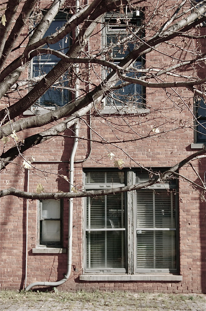
rear elevation
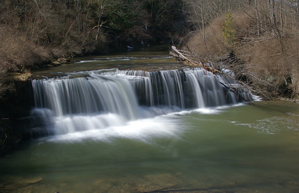
Upper And Lower Views Of Upperville Falls
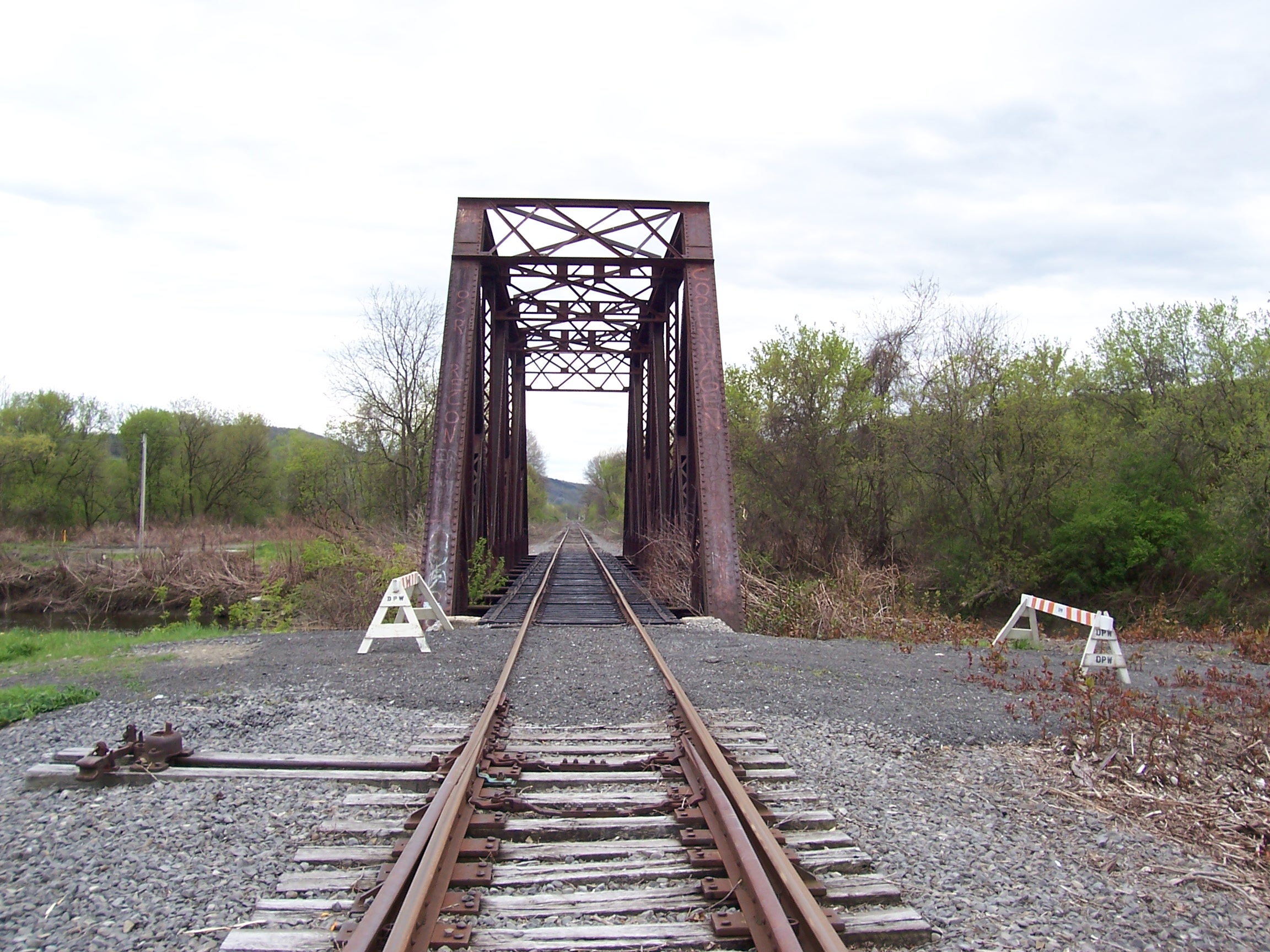
D. L. & W. RR Bridge, Norwich, NY
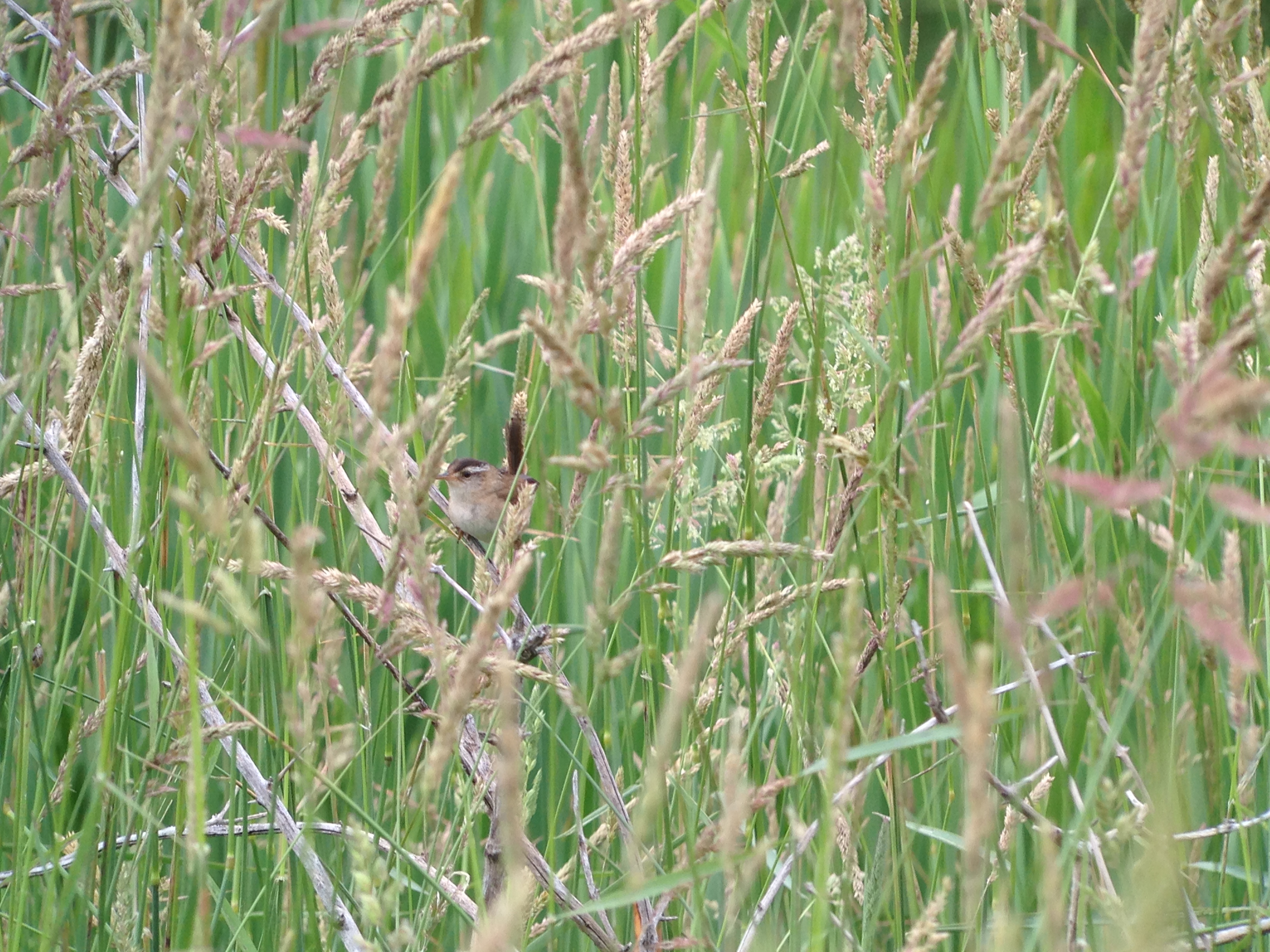
Marsh Wren
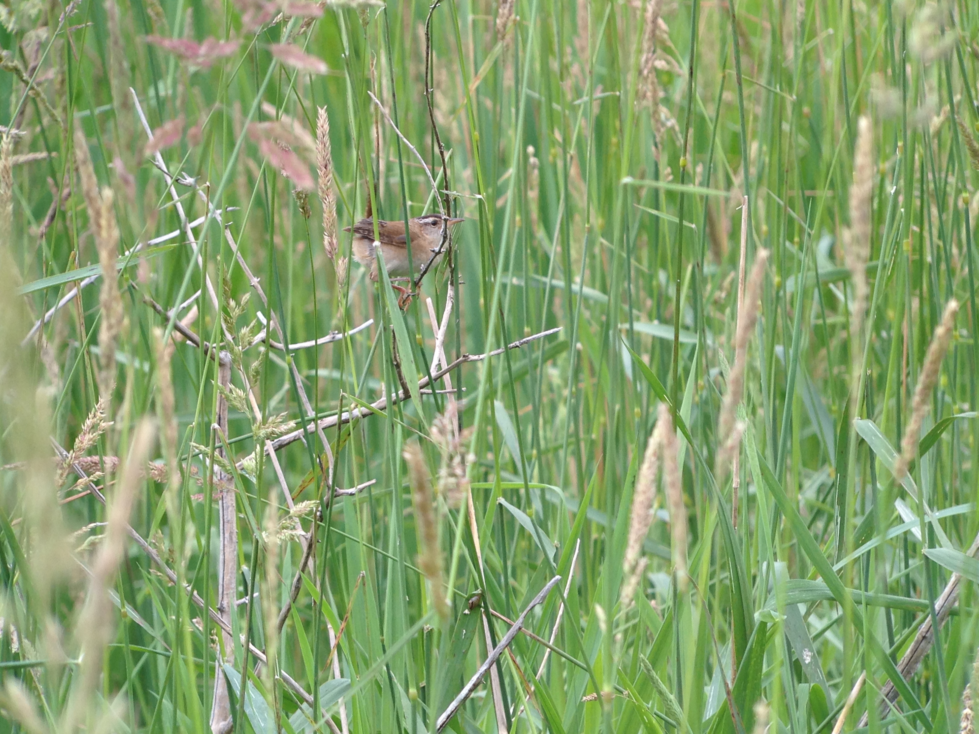
Marsh Wren
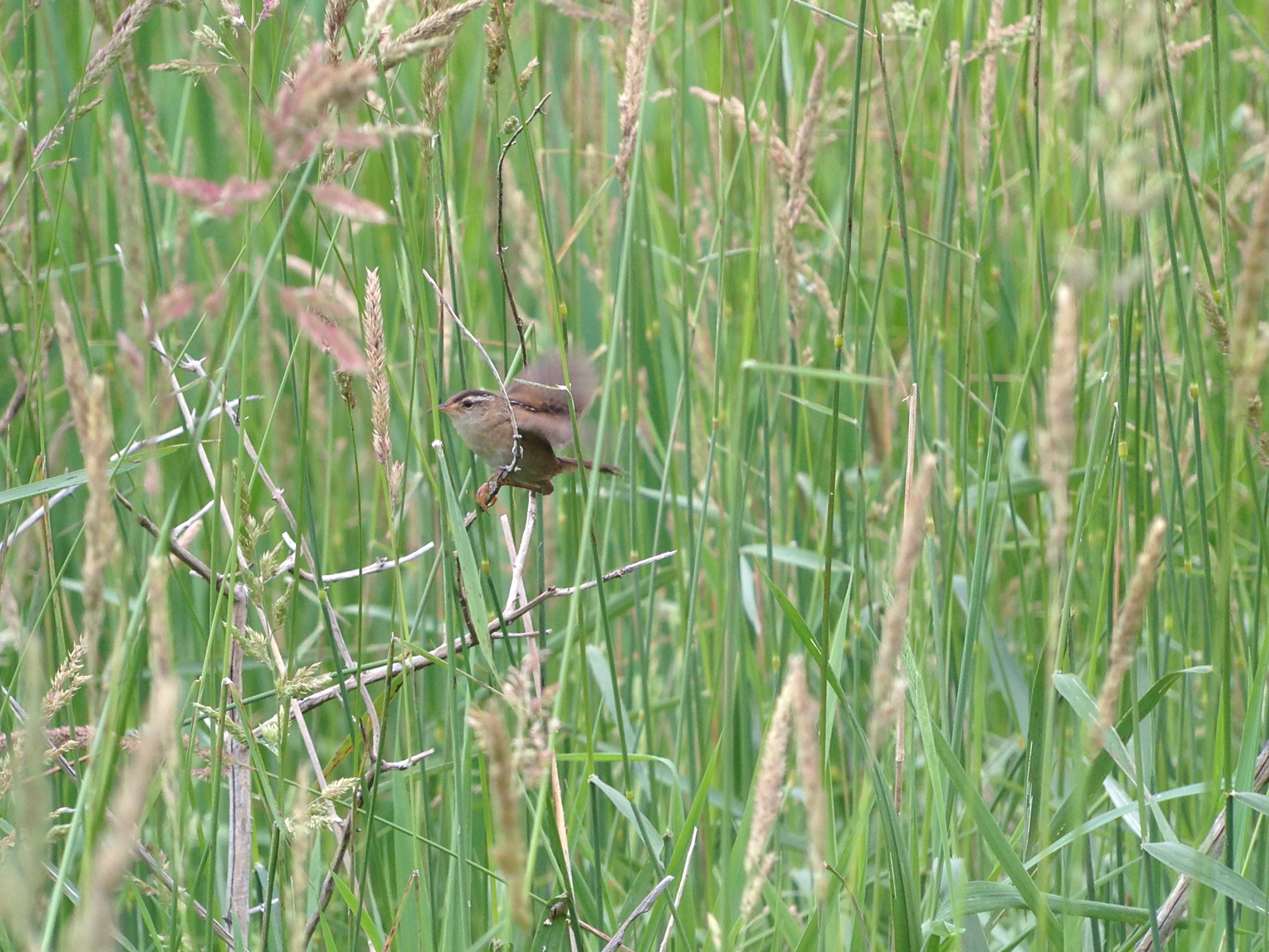
Marsh Wren

View from Farm Tower

Lake Steere at night

Lake Steere at night

Power of Mother Nature

Lake Steere at night
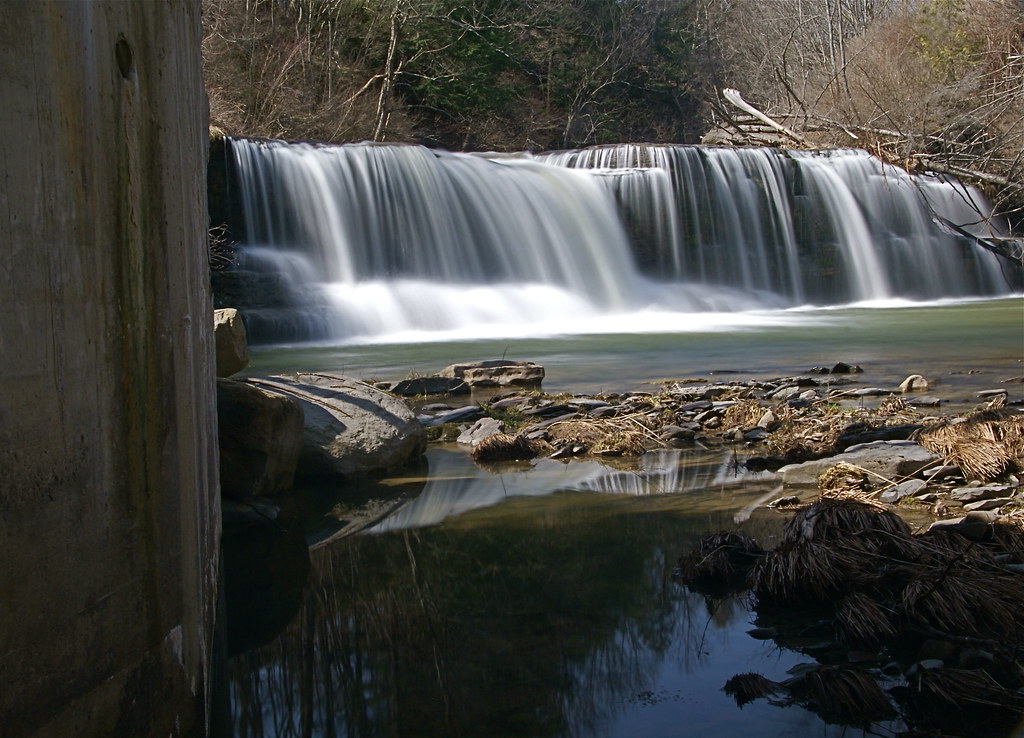
Under The Bridge At Upperville Falls
Rexford Falls

Norwich Creek
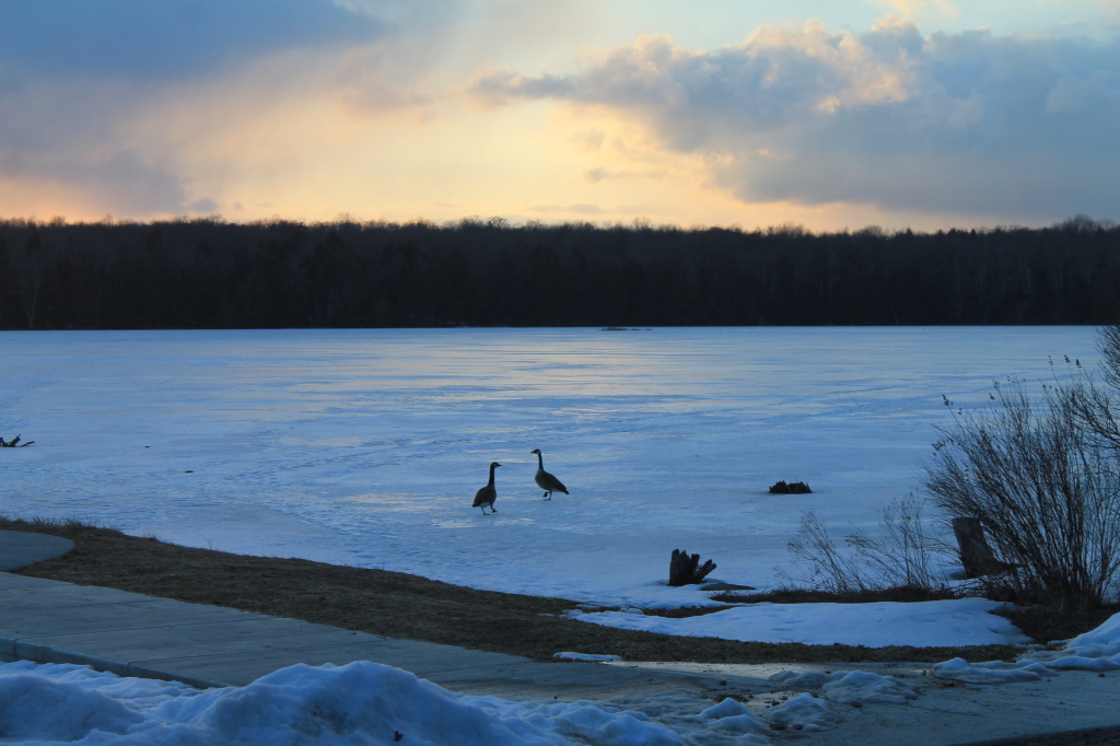
Canadian Geese at Sunset
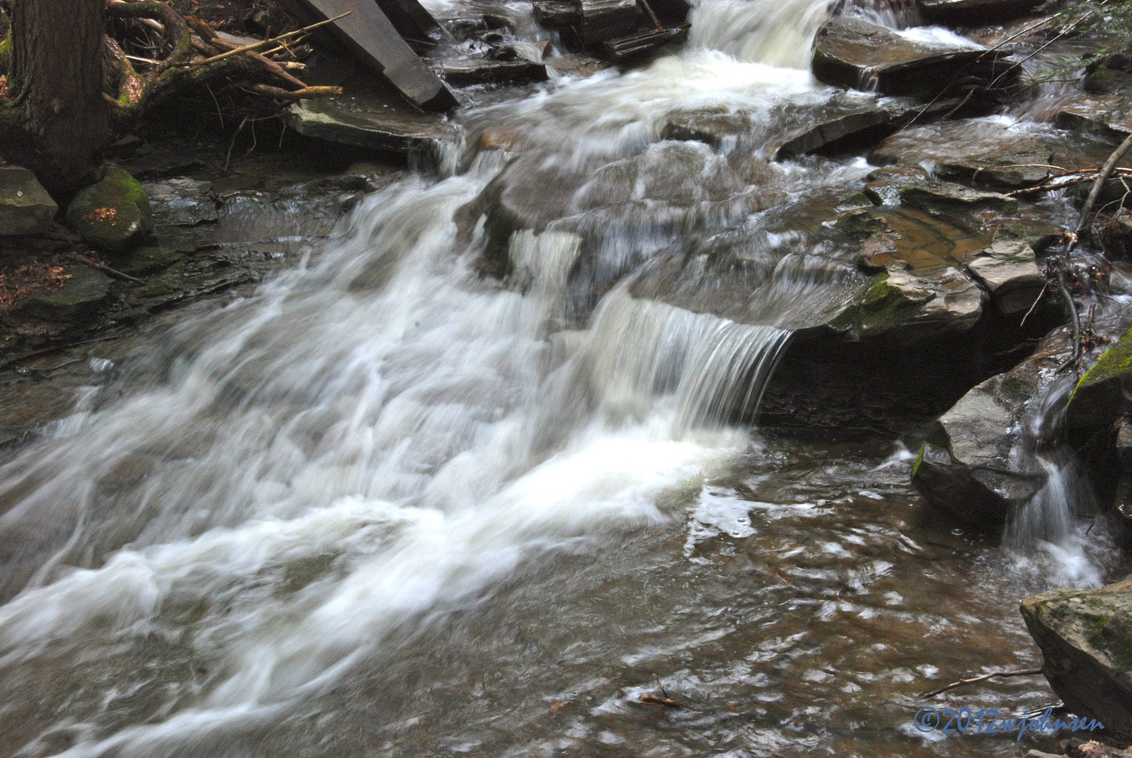
Water Falls near Elmer Jackson Road
Inside looking out.
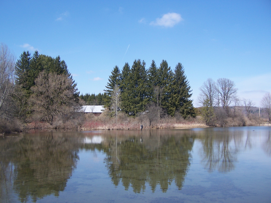
Shallow Pond
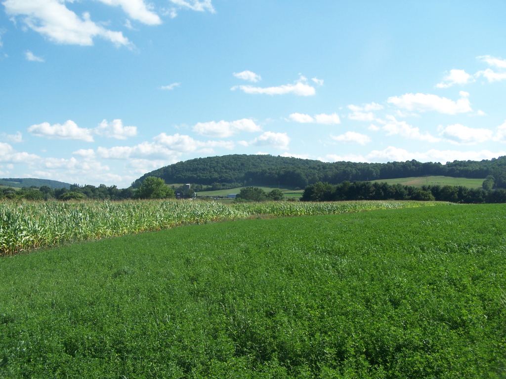
West from Farm Tower

Hunts Pond from Above

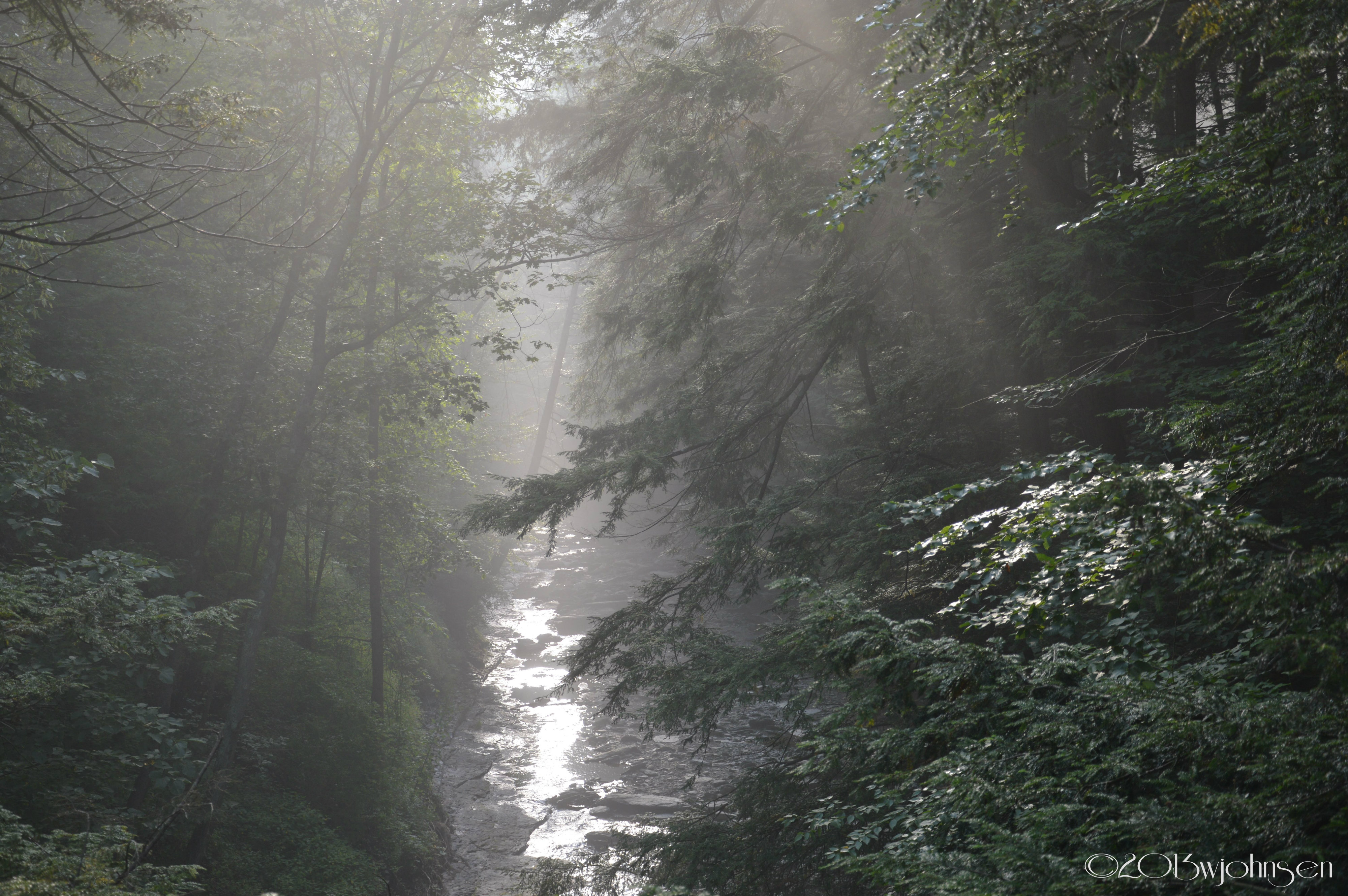
Morning light in Cush Hill woods.
Farm Tower Trail
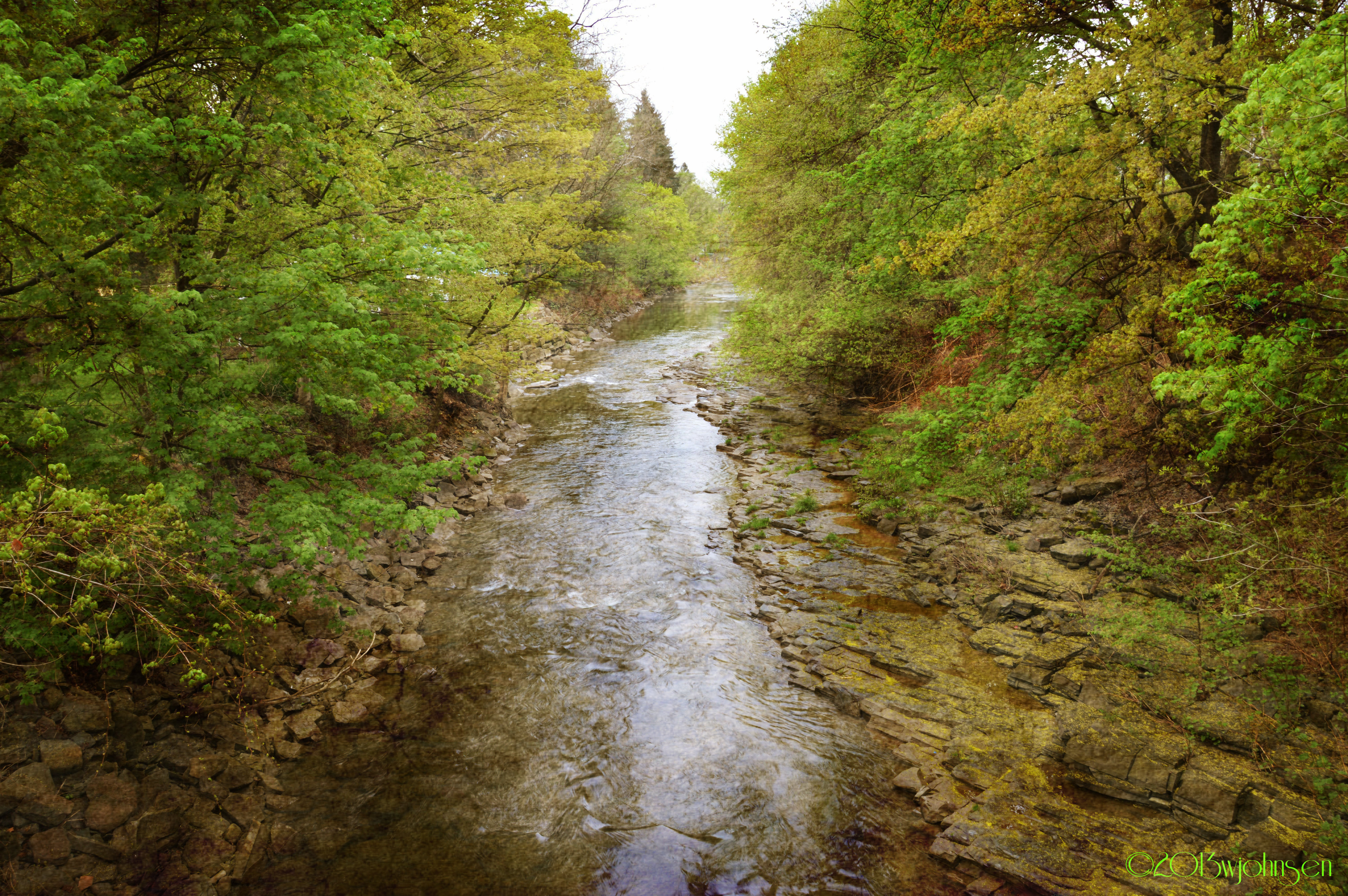
Canasawacta Creek
Truck Trail to Firetower
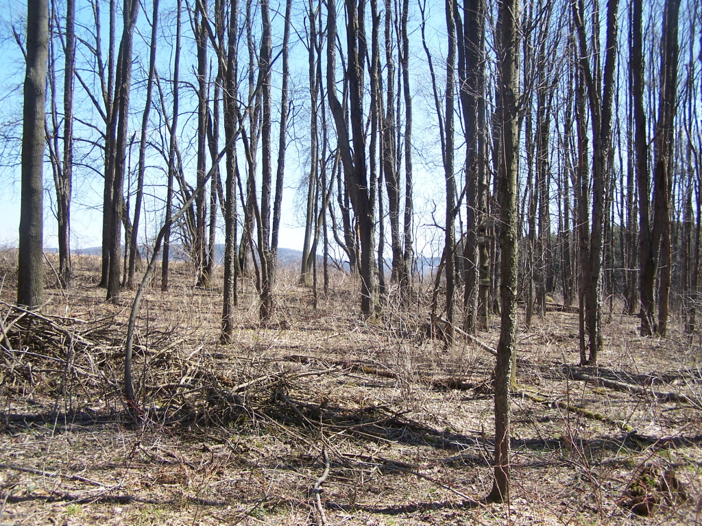
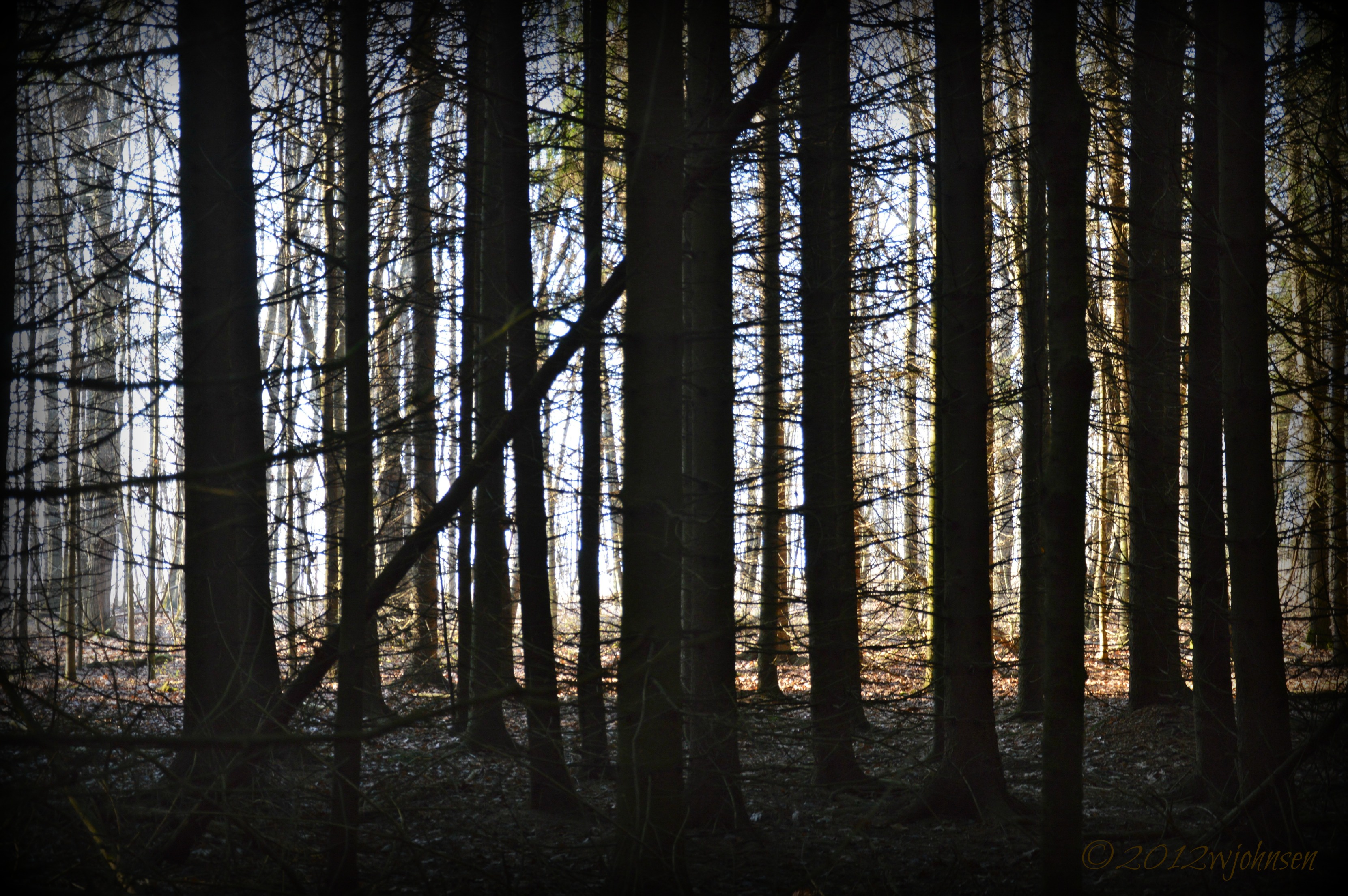
Walking Through the Woods

There He Is
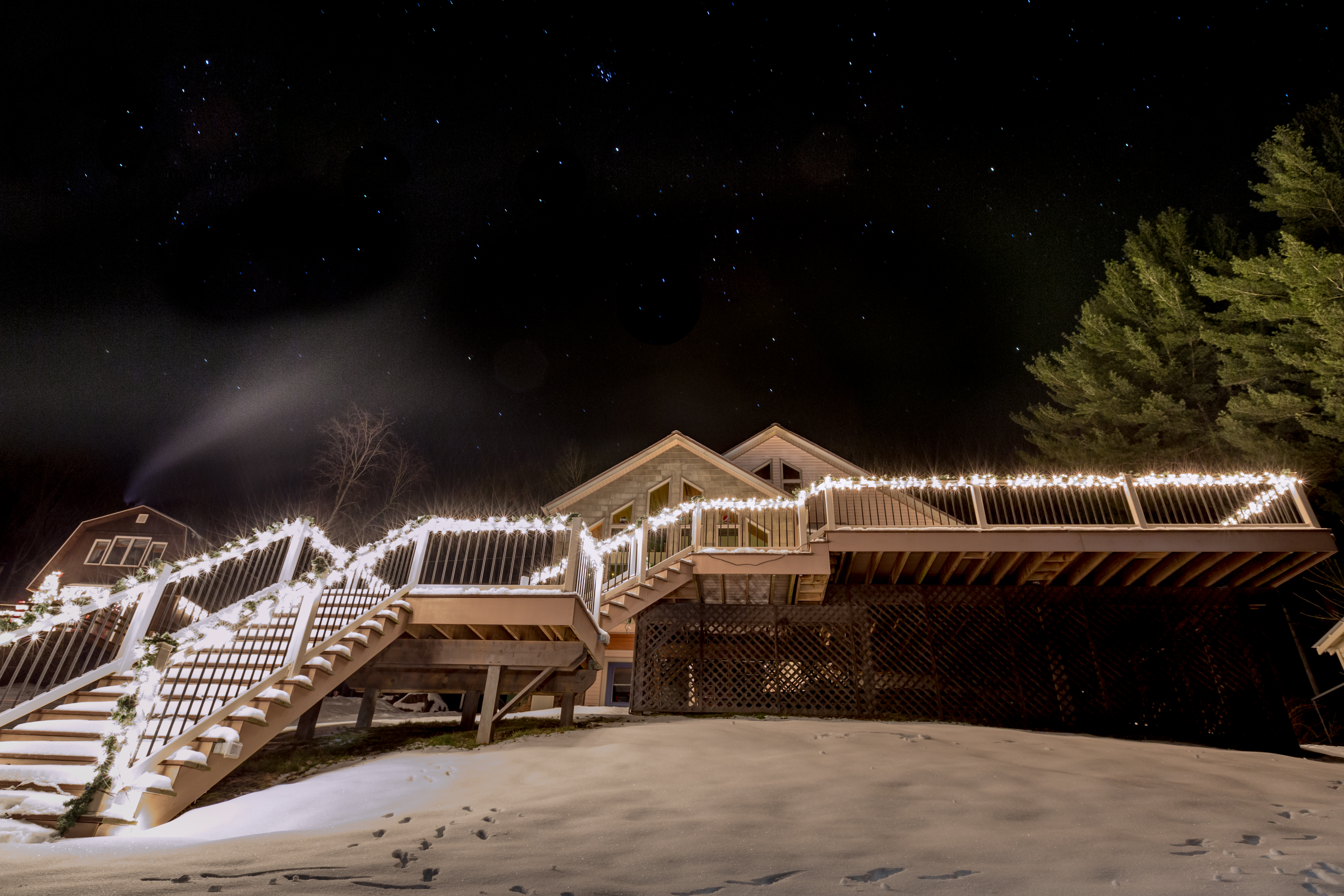
Lake Steere at night
Topographic Map of South Plymouth, NY, USA
Find elevation by address:

Places in South Plymouth, NY, USA:
Places near South Plymouth, NY, USA:
126 Old Country Club Rd
County Road 44
162 Jones Peck Rd
Tinker Ridge Road
Whaupaunaucau Rd, Norwich, NY, USA
165 Hale Rd
County Rd 20, Smyrna, NY, USA
NY-23, Norwich, NY, USA
NY-80, Smyrna, NY, USA
Smyrna
491 Blanding Rd
536 Blanding Rd
5494 Ny-23
1 Ny-12
1 Ny-12
Sherburne
31 N Main St
35 N Main St
374 Lake Rd
16 School St
Recent Searches:
- Elevation of Congressional Dr, Stevensville, MD, USA
- Elevation of Bellview Rd, McLean, VA, USA
- Elevation of Stage Island Rd, Chatham, MA, USA
- Elevation of Shibuya Scramble Crossing, 21 Udagawacho, Shibuya City, Tokyo -, Japan
- Elevation of Jadagoniai, Kaunas District Municipality, Lithuania
- Elevation of Pagonija rock, Kranto 7-oji g. 8"N, Kaunas, Lithuania
- Elevation of Co Rd 87, Jamestown, CO, USA
- Elevation of Tenjo, Cundinamarca, Colombia
- Elevation of Côte-des-Neiges, Montreal, QC H4A 3J6, Canada
- Elevation of Bobcat Dr, Helena, MT, USA