Elevation of Blanding Rd, Sherburne, NY, USA
Location: United States > New York > Chenango County > Sherburne > Sherburne >
Longitude: -75.497407
Latitude: 42.664397
Elevation: 320m / 1050feet
Barometric Pressure: 98KPa
Elevation Map:
Satellite Map:
Related Photos:

Opera House

Mom's View

Canasawacta Creek

rear elevation

Early evening view from Calvary Drive in Norwich, NY
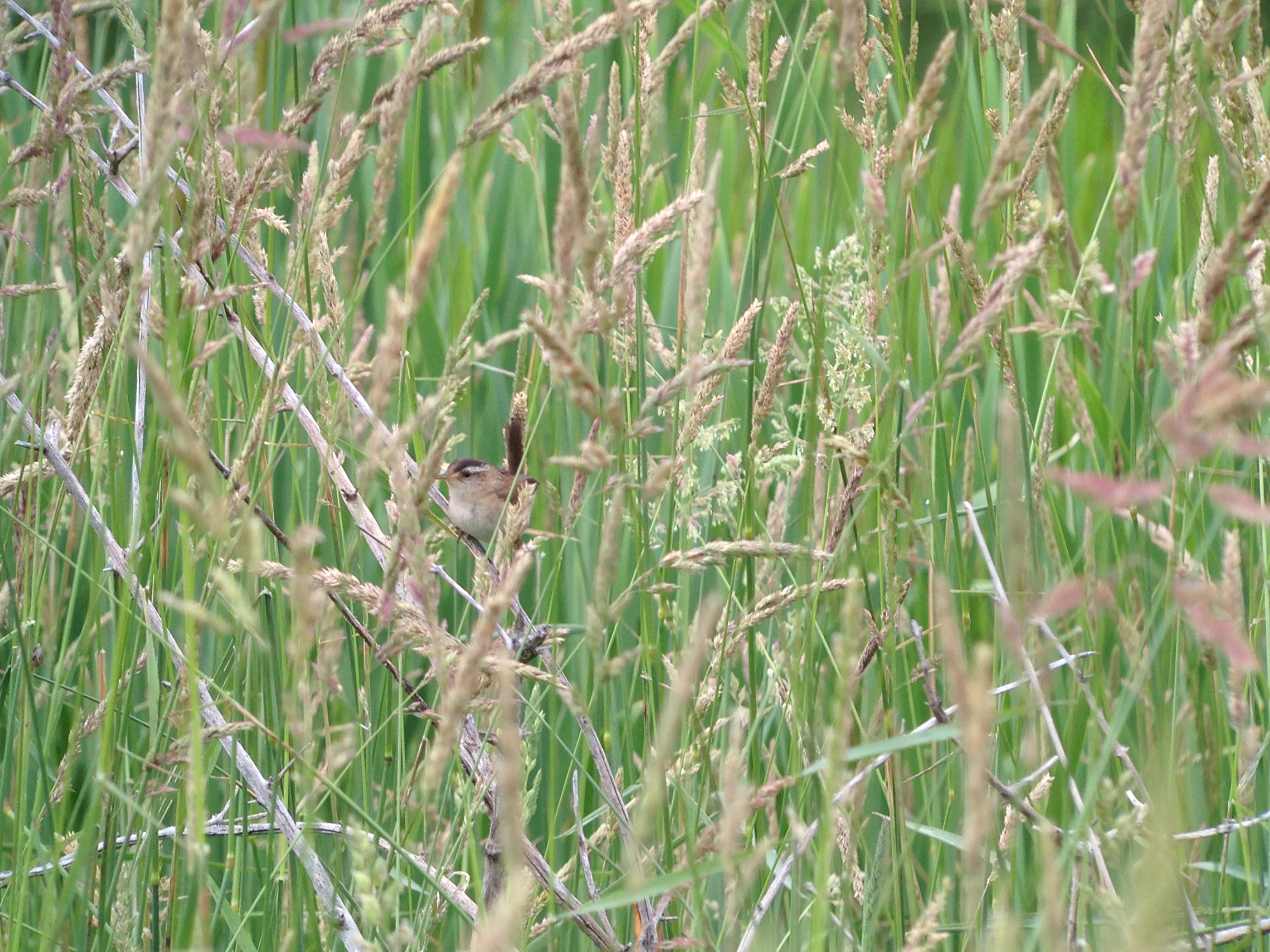
Marsh Wren

Marsh Wren

Upper And Lower Views Of Upperville Falls

The House I Grew Up In, 1961

Norwich, New York, 1964

Marsh Wren

Today's view!!!

Excell Road

View from Farm Tower

View from Farm Tower

The Chenango River

In the Chenango Valley

Farm Tower Trail

Hunts Pond

Hunts Pond from Above

Under The Bridge At Upperville Falls

Dirt pile - New Berlin, NY

Cherry Hill Camping Area Road

Rexford Falls

Small creek in New Berlin

Campsite 3

Dilly Hill

Power Lines

Ponds at Adams Farm Parcel

Horseshoe RIng
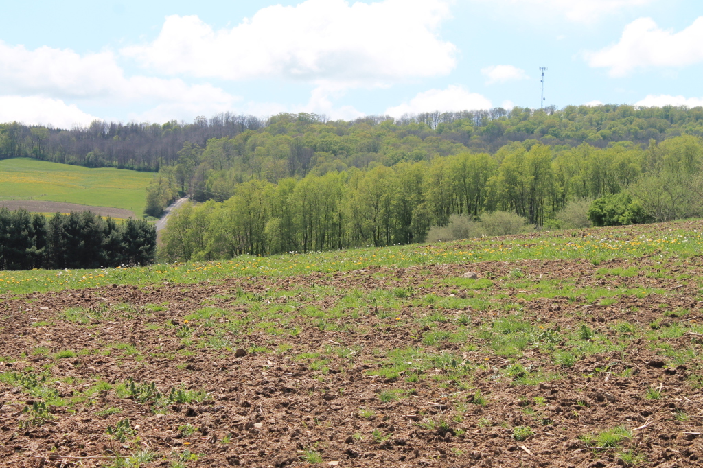
Farm Field

Walking Through the Woods

Muddy Farm Field

Canasawacta Creek

Drainage Ditch Along Farm Field
Topographic Map of Blanding Rd, Sherburne, NY, USA
Find elevation by address:

Places near Blanding Rd, Sherburne, NY, USA:
536 Blanding Rd
Sherburne
1 Ny-12
1 Ny-12
31 N Main St
35 N Main St
16 School St
13 School St
Bingham Collins Road
15 School St
Sherburne
519 Bingham Collins Rd
Kendricks Road
Kendricks Road
County Rd 20, Smyrna, NY, USA
391 County Rd 24
937 Williams Rd
302 Webb Rd
162 Jones Peck Rd
NY-80, Smyrna, NY, USA
Recent Searches:
- Elevation of Congressional Dr, Stevensville, MD, USA
- Elevation of Bellview Rd, McLean, VA, USA
- Elevation of Stage Island Rd, Chatham, MA, USA
- Elevation of Shibuya Scramble Crossing, 21 Udagawacho, Shibuya City, Tokyo -, Japan
- Elevation of Jadagoniai, Kaunas District Municipality, Lithuania
- Elevation of Pagonija rock, Kranto 7-oji g. 8"N, Kaunas, Lithuania
- Elevation of Co Rd 87, Jamestown, CO, USA
- Elevation of Tenjo, Cundinamarca, Colombia
- Elevation of Côte-des-Neiges, Montreal, QC H4A 3J6, Canada
- Elevation of Bobcat Dr, Helena, MT, USA