Elevation of Hale Rd, Norwich, NY, USA
Location: United States > New York > Chenango County > Norwich > Norwich >
Longitude: -75.542886
Latitude: 42.5422939
Elevation: 346m / 1135feet
Barometric Pressure: 97KPa
Elevation Map:
Satellite Map:
Related Photos:

Lyon Brook Trestle, April 1959

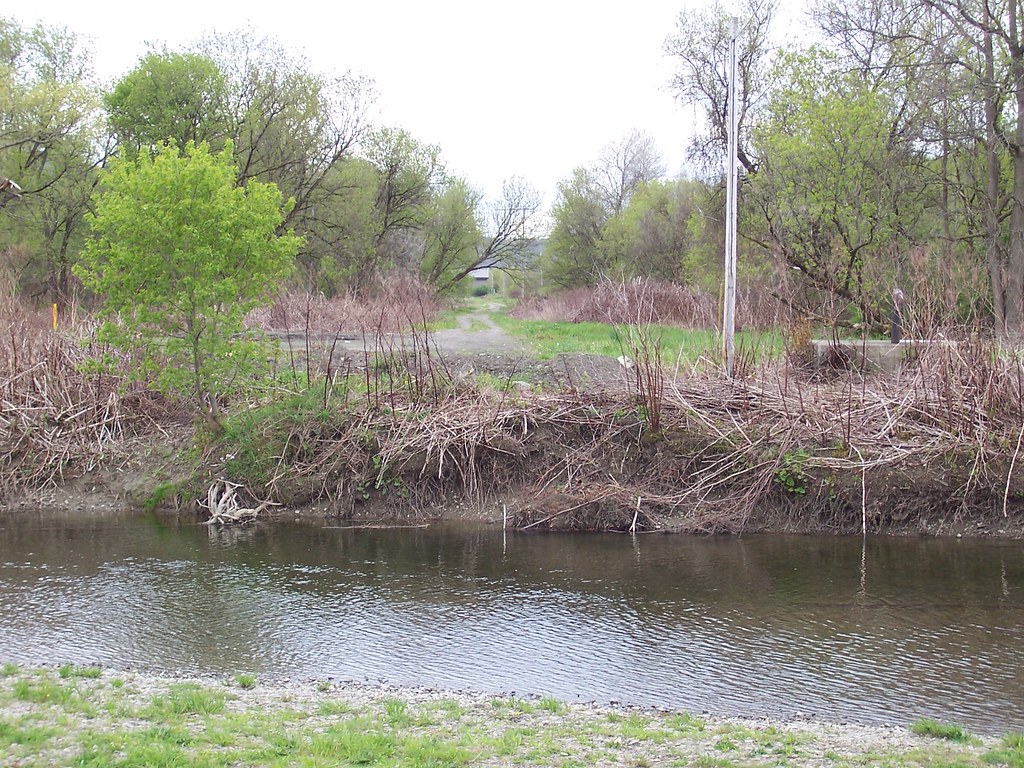
Canasawacta Creek

rear elevation

Early evening view from Calvary Drive in Norwich, NY

Mom's View
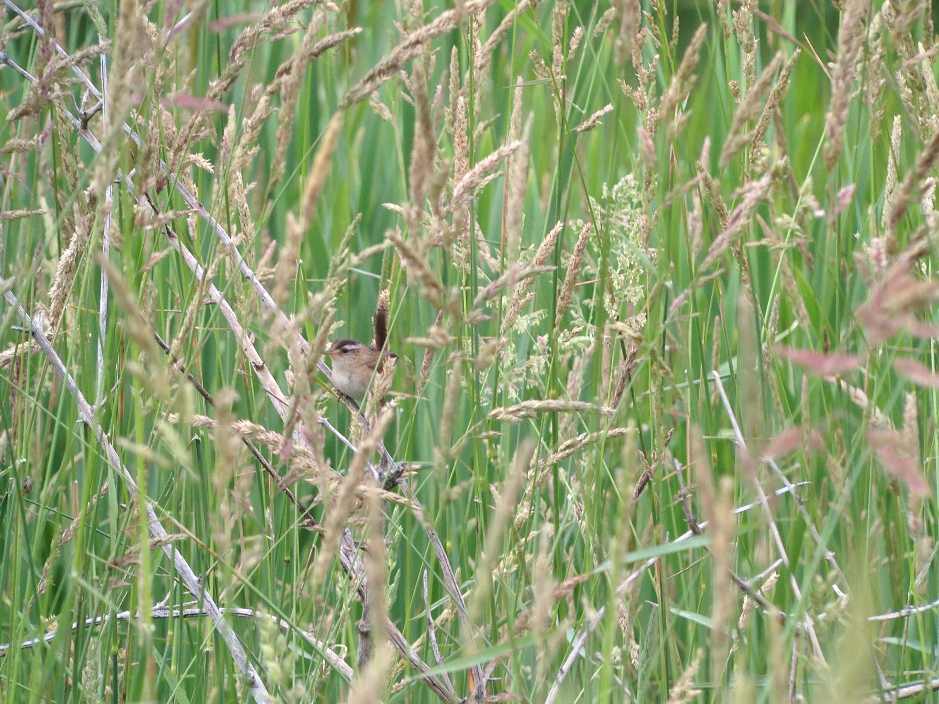
Marsh Wren

Marsh Wren
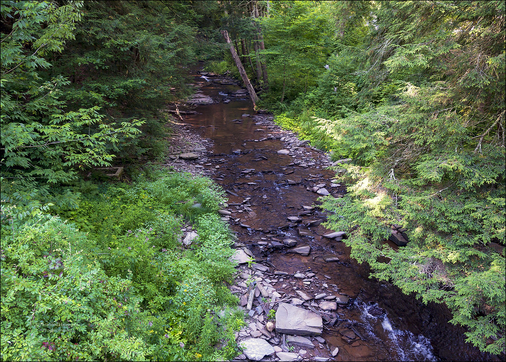
Stream at "Streamhouse"

D. L. & W. RR Bridge, Norwich, NY

The House I Grew Up In, 1961

Norwich, New York, 1964

Lyon Brook Trestle, June, 1965

Marsh Wren

January Thaw, 1959, Norwich NY

On Halbert Hill Rd 1

The Chenango River

In the Chenango Valley

Farm Tower Trail
NY Ontario & Western ROW, Norwich, NY

Lake Steere at night

Hunts Pond

Hunts Pond from Above

Rexford Falls

Dilly Hill

Power Lines
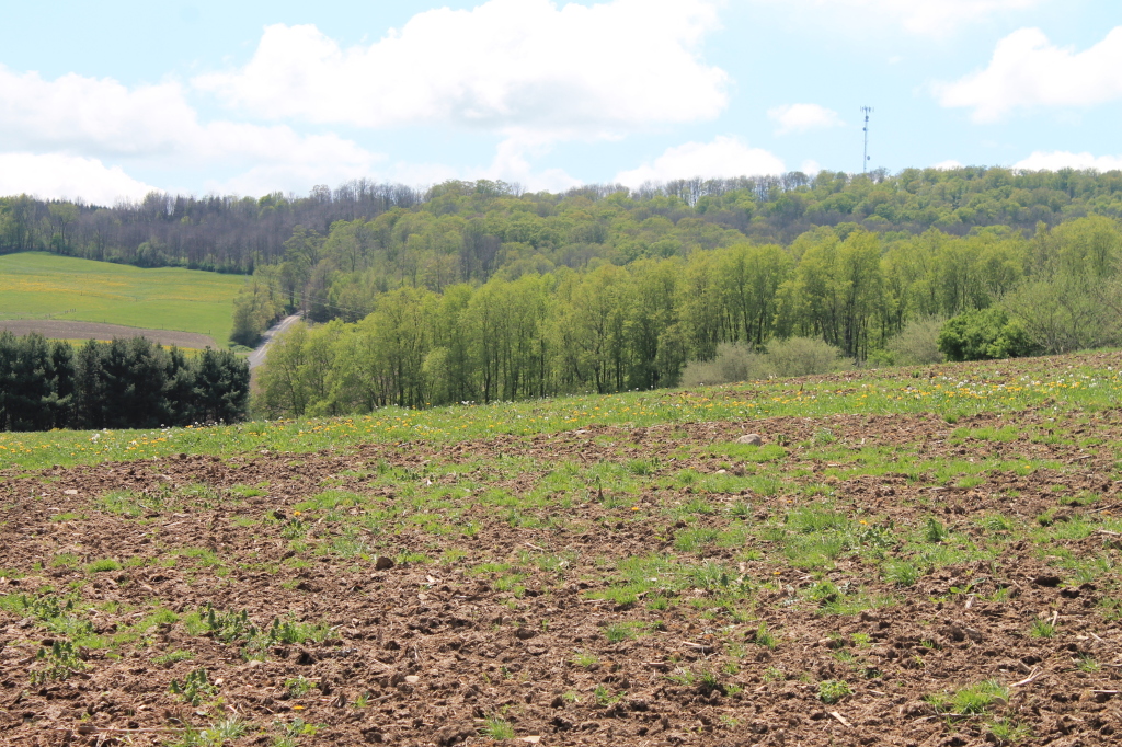
Farm Field

Walking Through the Woods

Muddy Farm Field

Canasawacta Creek

Looking Back Across the Field

Heading Up Down the Chenango River

Rogers Farm Pond

Tops of Corn

Along the Edge of the Pond
Topographic Map of Hale Rd, Norwich, NY, USA
Find elevation by address:

Places near Hale Rd, Norwich, NY, USA:
NY-23, Norwich, NY, USA
126 Old Country Club Rd
South Plymouth
Whaupaunaucau Rd, Norwich, NY, USA
County Road 44
162 Jones Peck Rd
Tinker Ridge Road
5494 Ny-23
County Rd 20, Smyrna, NY, USA
374 Lake Rd
491 Blanding Rd
536 Blanding Rd
New Berlin
Sherburne
1 Ny-12
1 Ny-12
31 N Main St
35 N Main St
NY-80, Smyrna, NY, USA
Smyrna
Recent Searches:
- Elevation of Congressional Dr, Stevensville, MD, USA
- Elevation of Bellview Rd, McLean, VA, USA
- Elevation of Stage Island Rd, Chatham, MA, USA
- Elevation of Shibuya Scramble Crossing, 21 Udagawacho, Shibuya City, Tokyo -, Japan
- Elevation of Jadagoniai, Kaunas District Municipality, Lithuania
- Elevation of Pagonija rock, Kranto 7-oji g. 8"N, Kaunas, Lithuania
- Elevation of Co Rd 87, Jamestown, CO, USA
- Elevation of Tenjo, Cundinamarca, Colombia
- Elevation of Côte-des-Neiges, Montreal, QC H4A 3J6, Canada
- Elevation of Bobcat Dr, Helena, MT, USA