Elevation of Somnus, West Coast, New Zealand
Location: New Zealand > West Coast > Westland District > Mount Aspiring National Park >
Longitude: 168.221666
Latitude: -44.665
Elevation: 1763m / 5784feet
Barometric Pressure: 82KPa
Elevation Map:
Satellite Map:
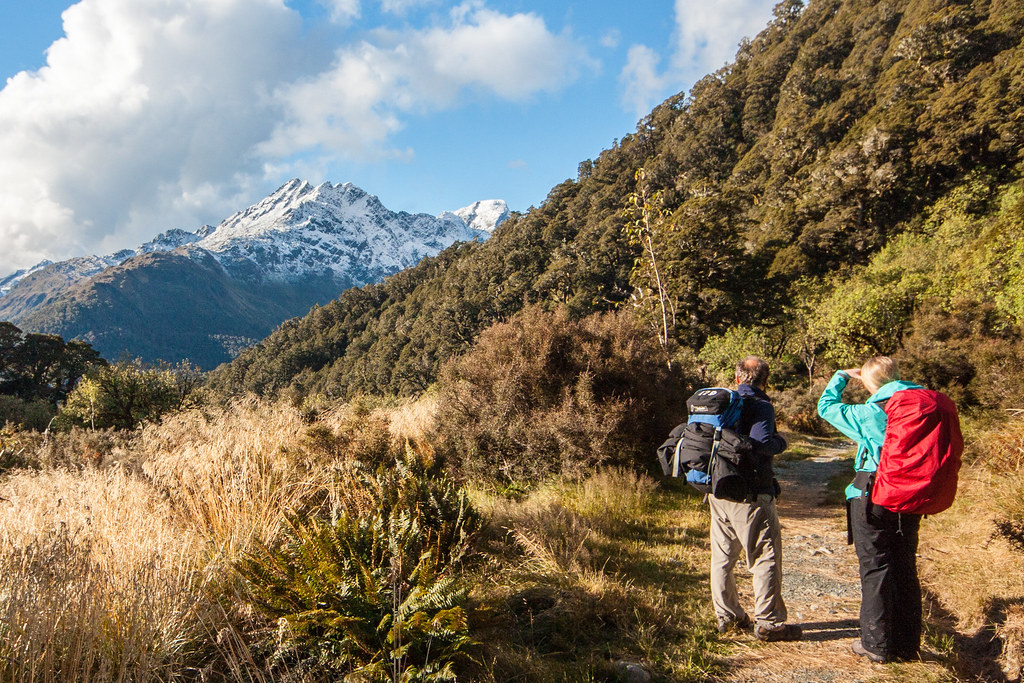
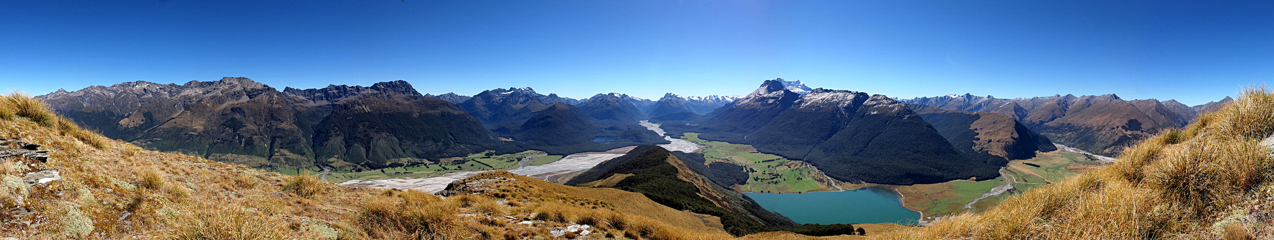
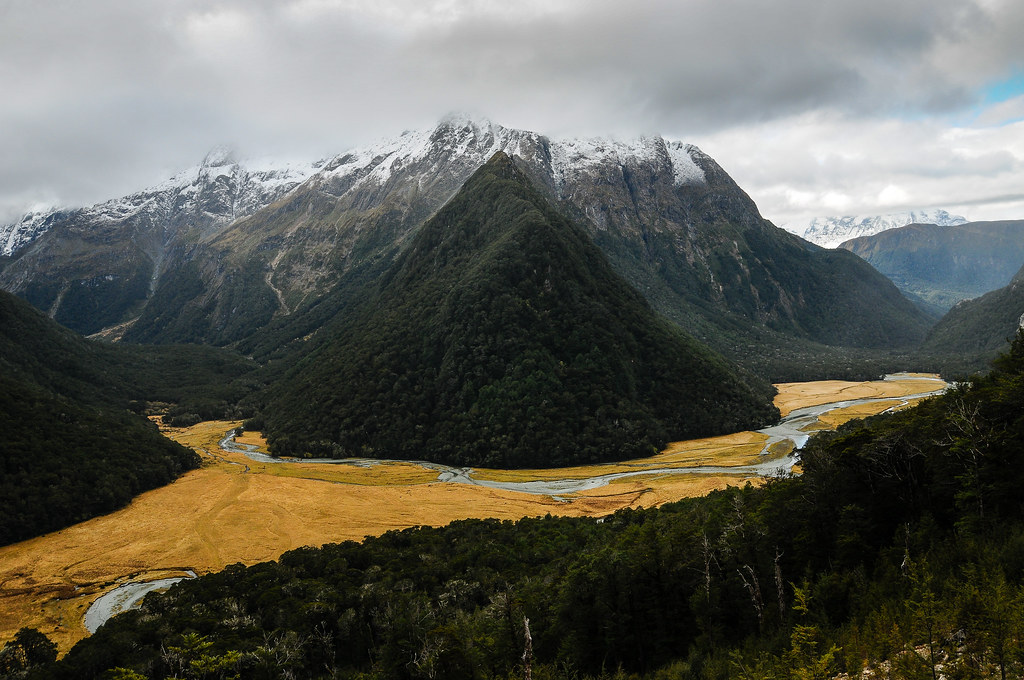
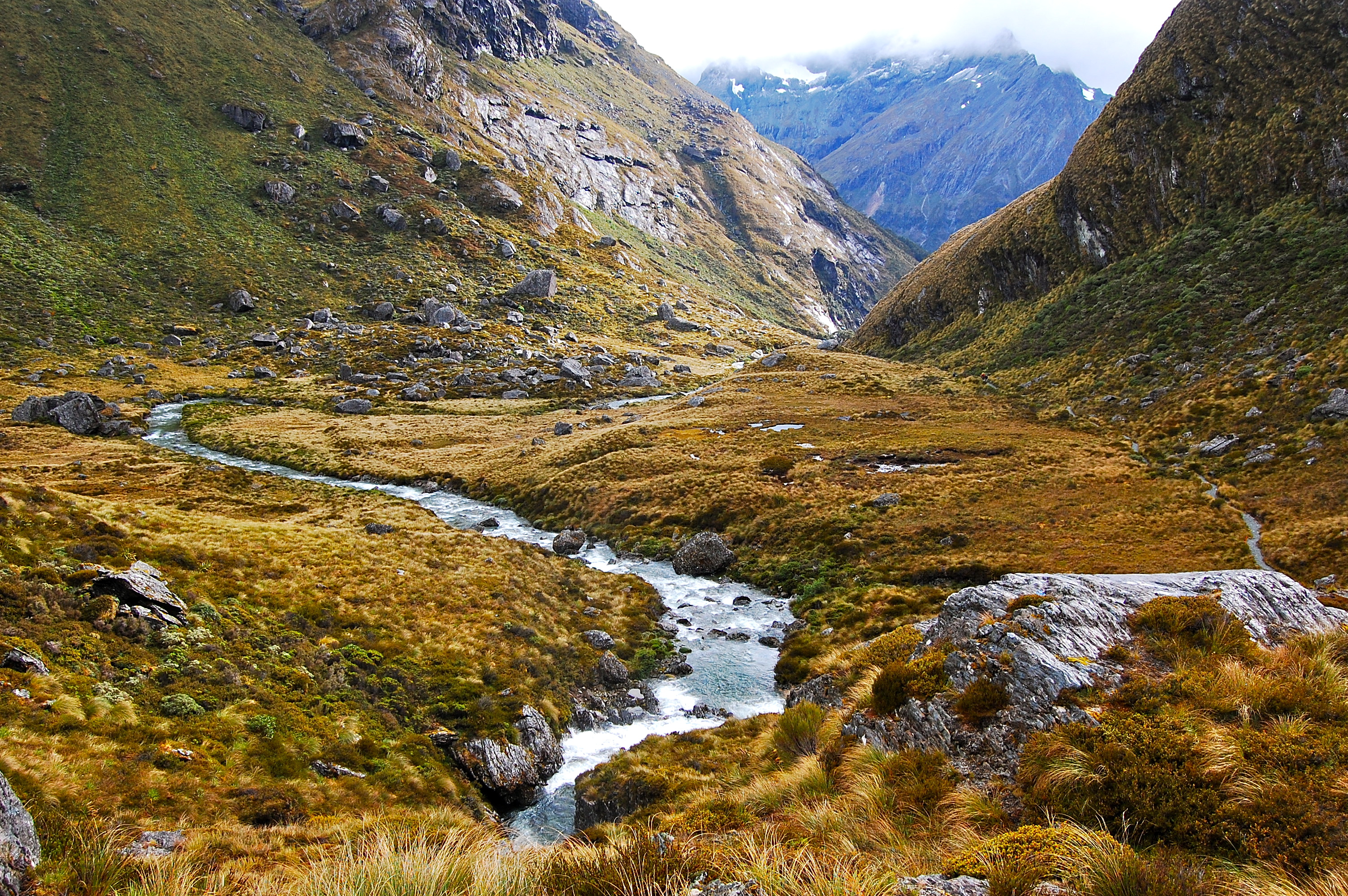
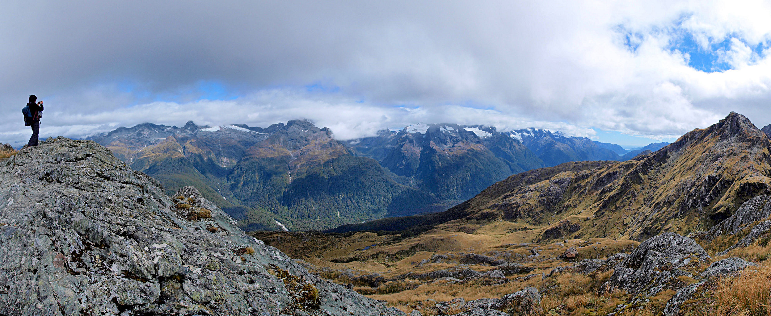
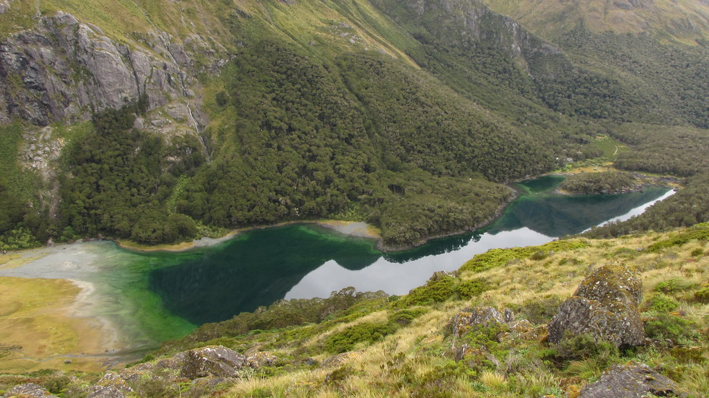
Related Photos:
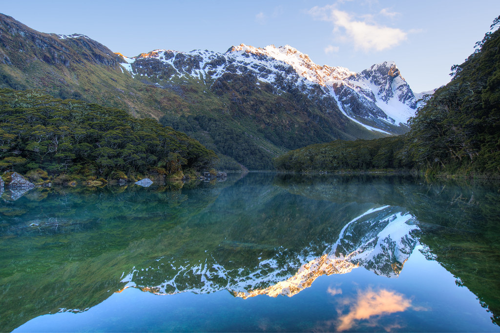
Lake Mackenzie Sunrise [EXPLORED]
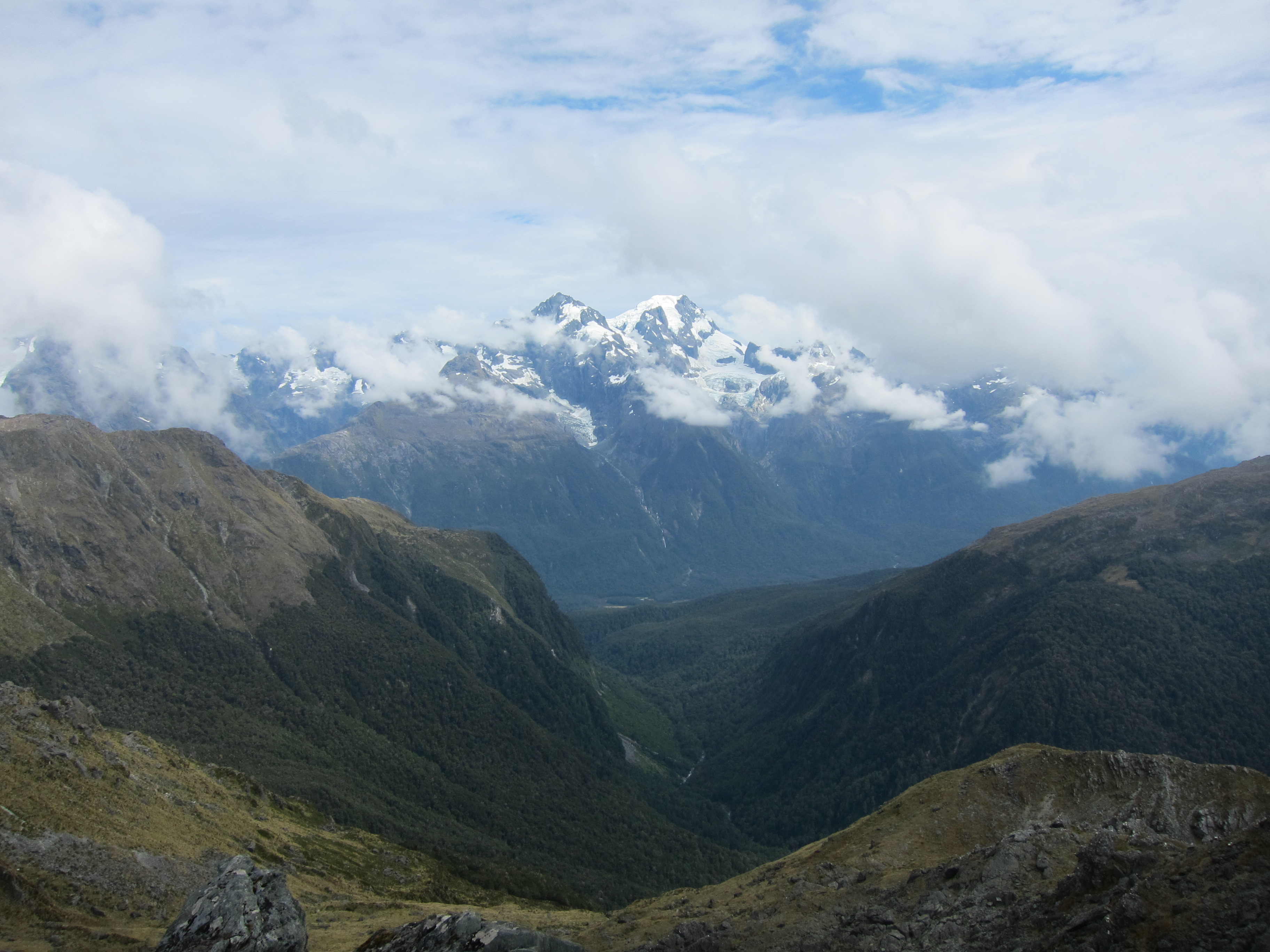
View of Humboldt Mountains from Routeburn Track, New Zealand, 2013
Routeburn Splendour!

View from Conical Hill

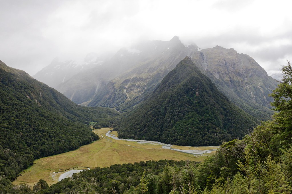
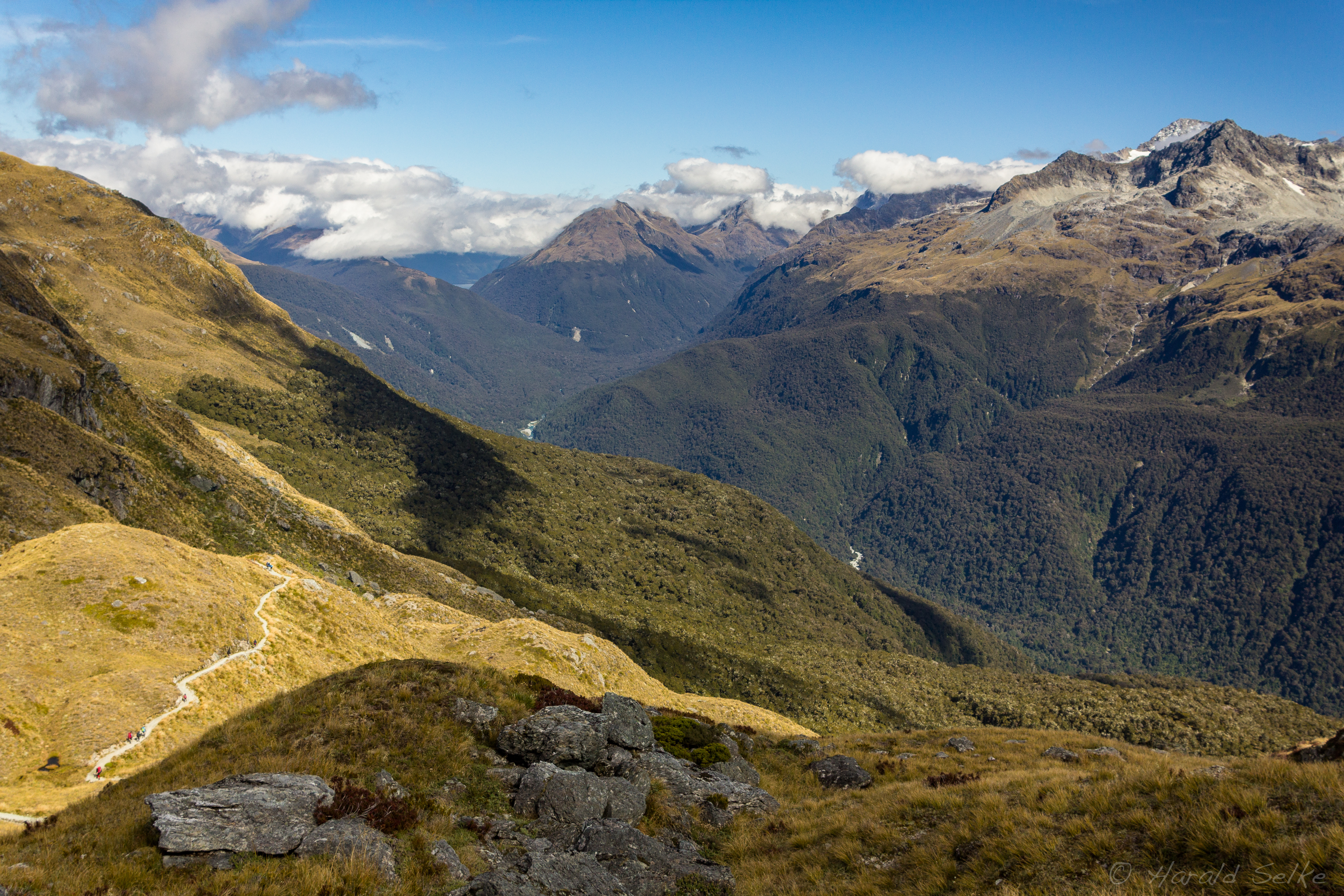
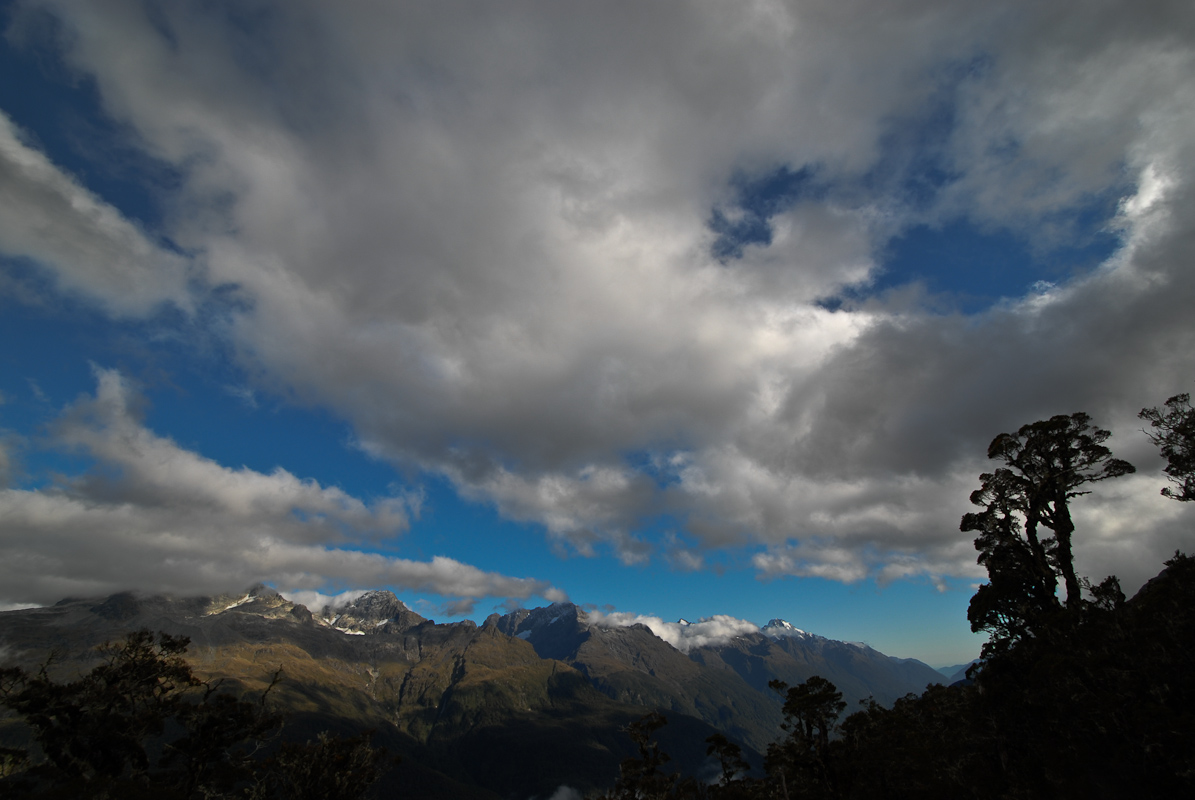
View over Hollyford Valley from the flanks of Nereus Peak, Fiordland National Park, New Zealand
View over Hollyford Valley from the flanks of Nereus Peak, Fiordland National Park, New Zealand
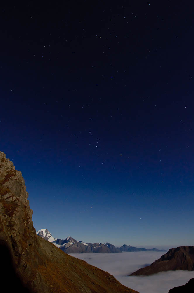
Hollyford Valley night view, North Col, Mount Aspring/Fiordland National Parks, New Zealand
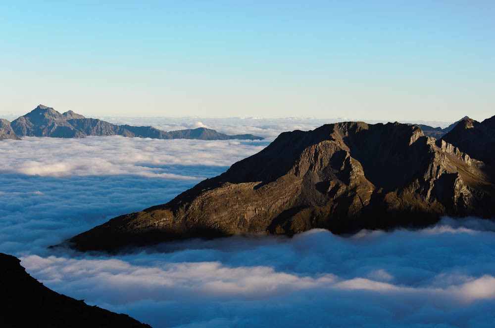
Early morning view from North Col, Mount Aspring/Fiordland National Parks, New Zealand
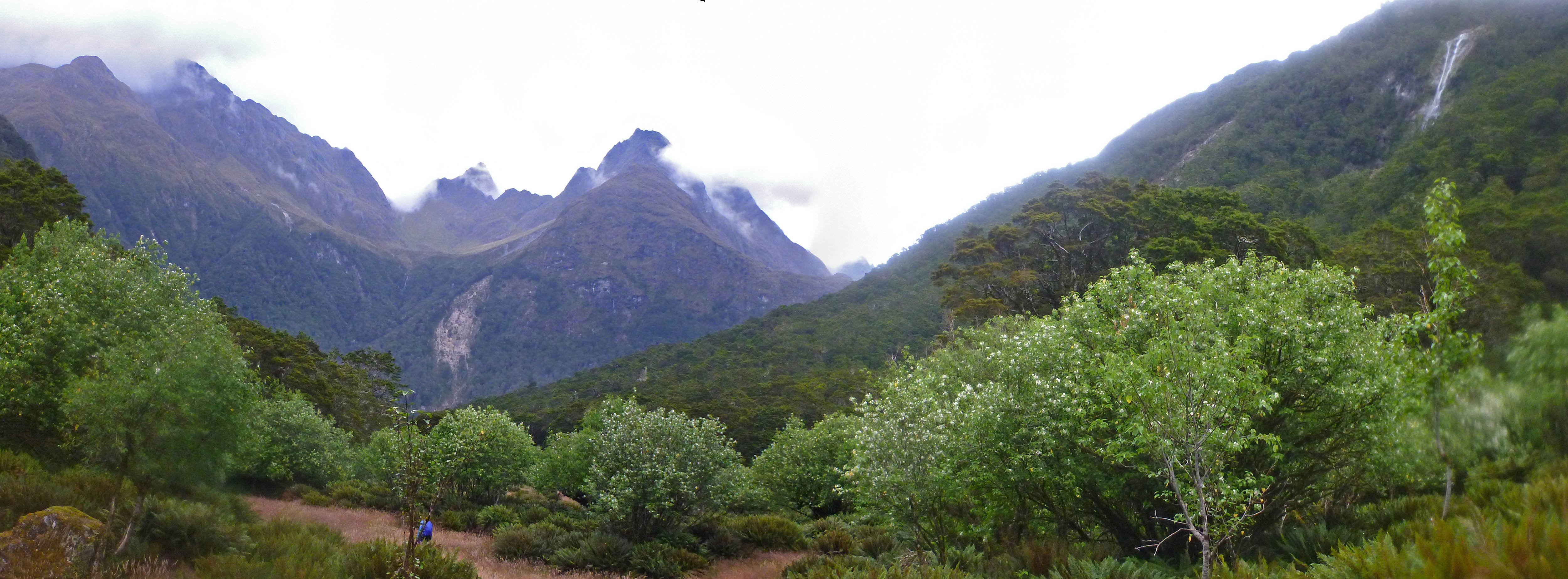
View from Conical Hill into the Hollyford Valley
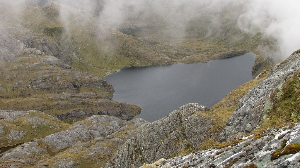
Lake Harris
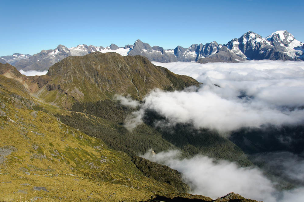
View of the Darran Range, Routeburn Track
Mt Madeline and Mt Tutuko
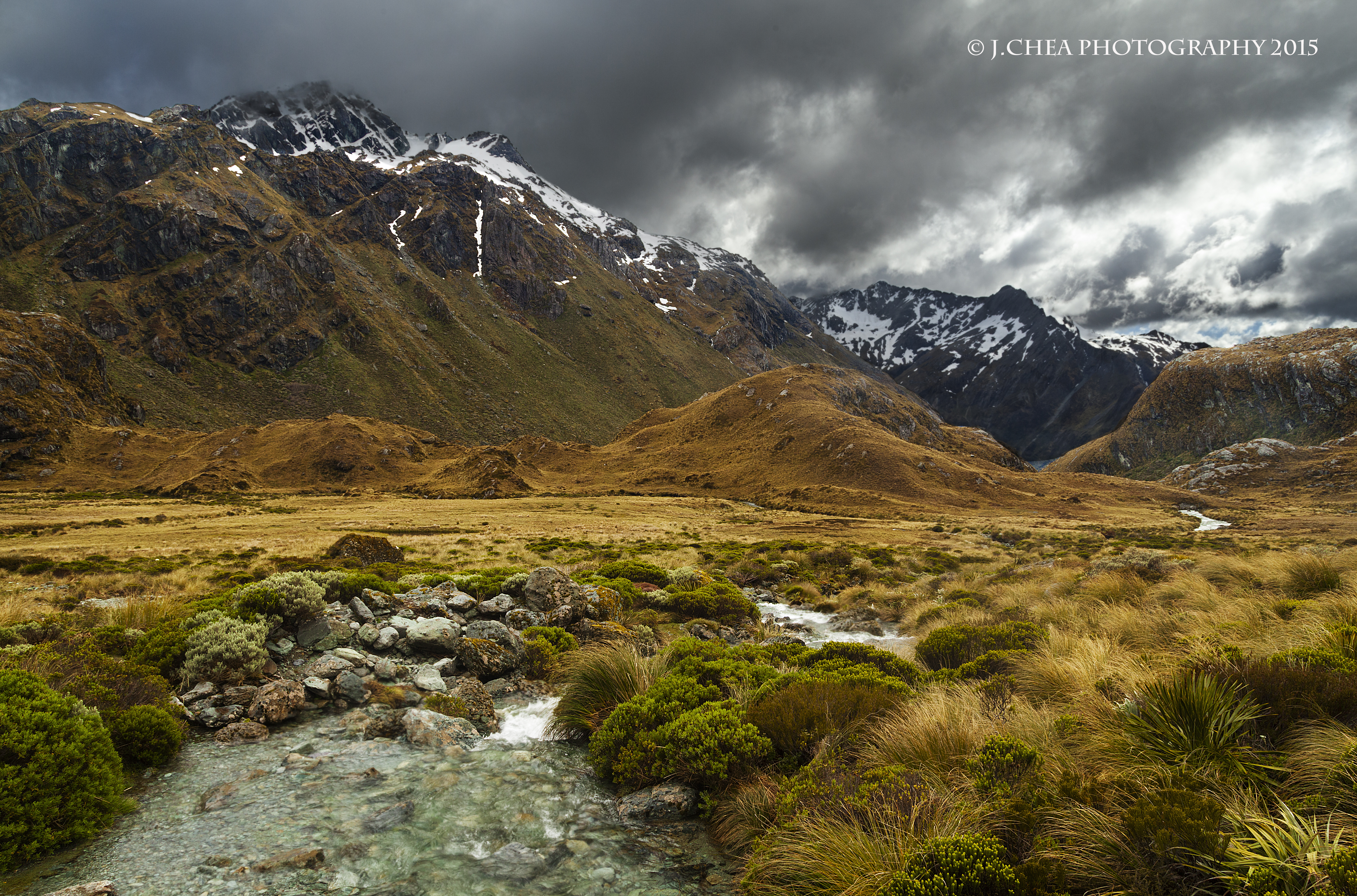
Emily Pass, near Route Burn Flats
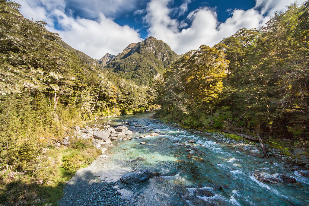
Routeburn over the river

Stream Of Dreams
Mountain View
Mt. Alfred: View North
Climbing Up
On the way to Harris Saddle
Conical Hill and Hollyford Valley
Lake Mackenzie
Topographic Map of Somnus, West Coast, New Zealand
Find elevation by address:

Places near Somnus, West Coast, New Zealand:
Routeburn Falls Hut
Routeburn Shelter Parking
Hollyford Track
Lake Mackenzie Hut
Routeburn Track
Routeburn Track
Paradise Trust
Mount Alfred
Lake Howden Hut
Key Summit Trail
Mount Madeline
The Divide
Mount Earnslaw
Mount Tutoko
Precipice Creek Station Bed And Breakfast
Hp Skippers Range
Glenorchy
130 Mull St
Climax Peak
Homer Tunnel
Recent Searches:
- Elevation of Corso Fratelli Cairoli, 35, Macerata MC, Italy
- Elevation of Tallevast Rd, Sarasota, FL, USA
- Elevation of 4th St E, Sonoma, CA, USA
- Elevation of Black Hollow Rd, Pennsdale, PA, USA
- Elevation of Oakland Ave, Williamsport, PA, USA
- Elevation of Pedrógão Grande, Portugal
- Elevation of Klee Dr, Martinsburg, WV, USA
- Elevation of Via Roma, Pieranica CR, Italy
- Elevation of Tavkvetili Mountain, Georgia
- Elevation of Hartfords Bluff Cir, Mt Pleasant, SC, USA