Elevation of The Divide, Te Anau-Milford Hwy, Fiordland National Park, New Zealand
Location: New Zealand > Southland > Southland District > Fiordland National Park >
Longitude: 168.116838
Latitude: -44.825168
Elevation: 528m / 1732feet
Barometric Pressure: 95KPa
Elevation Map:
Satellite Map:
Related Photos:
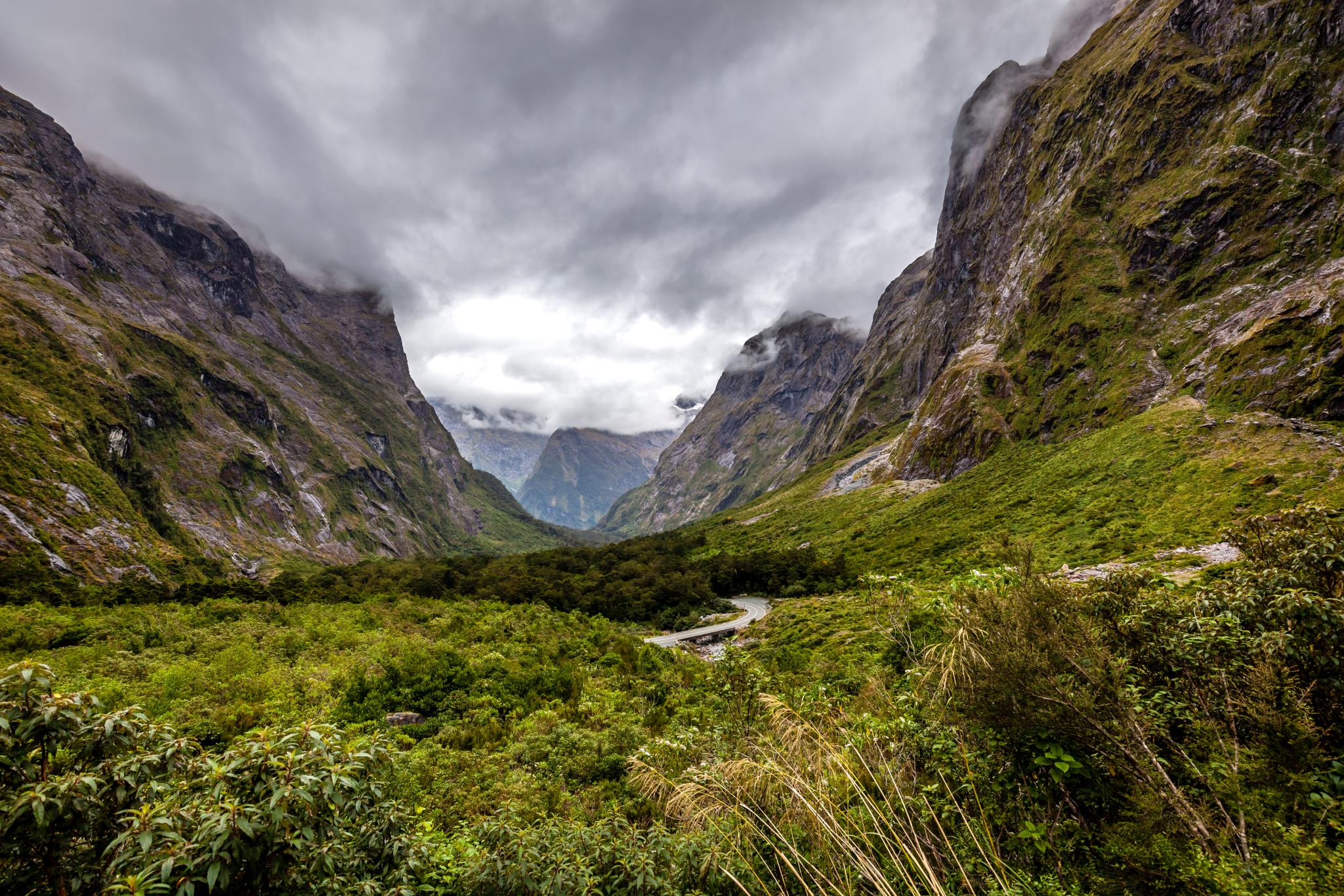
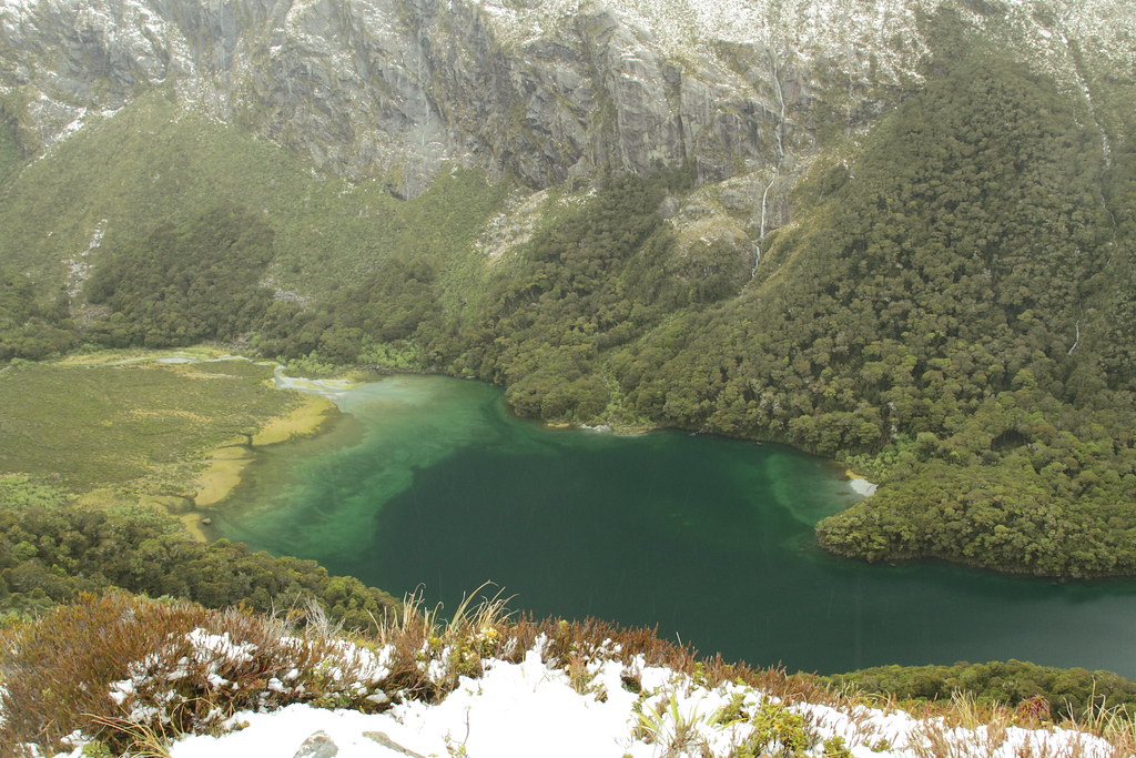
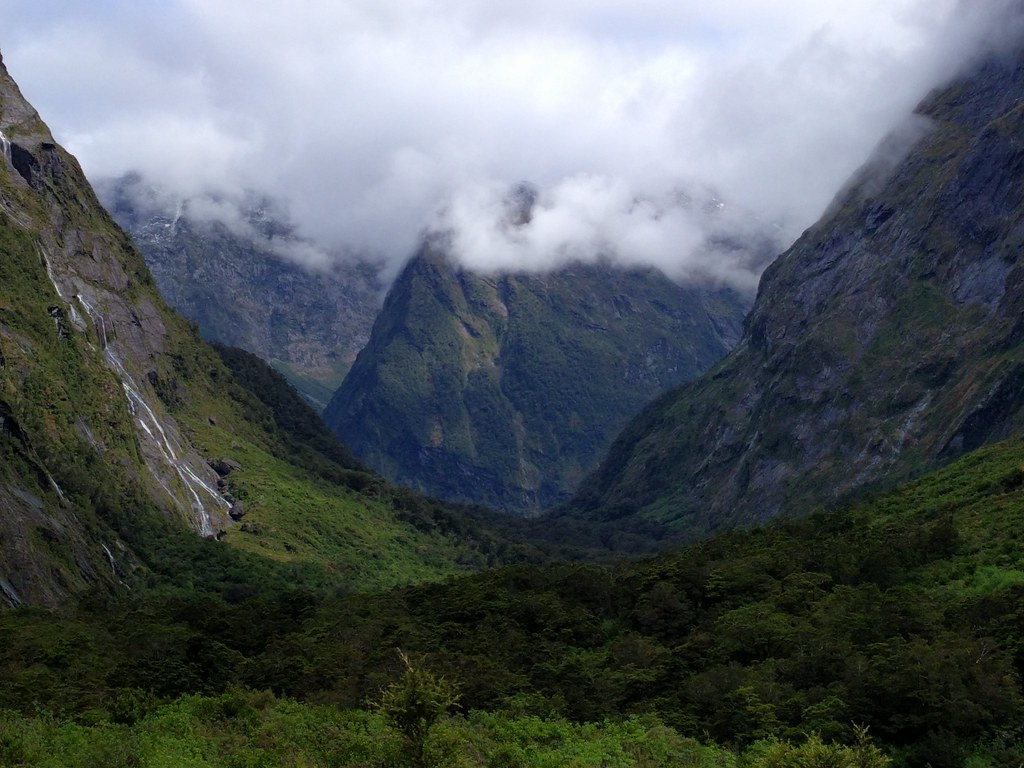
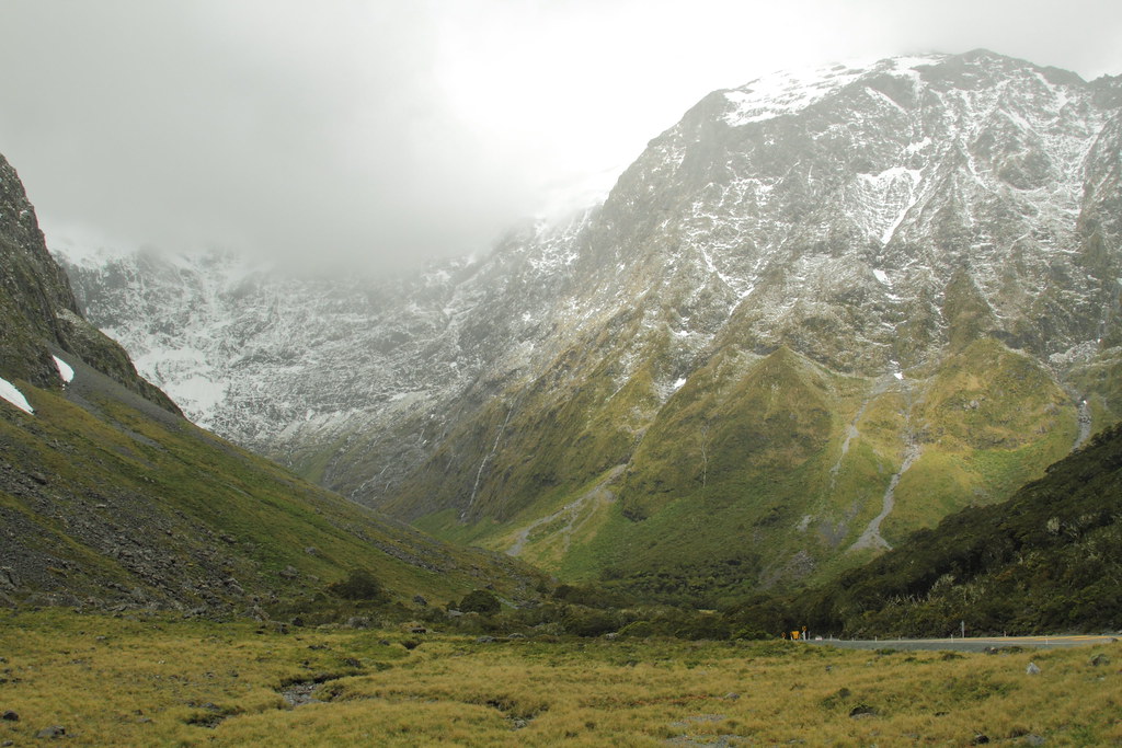
Milford Tunnel View-1
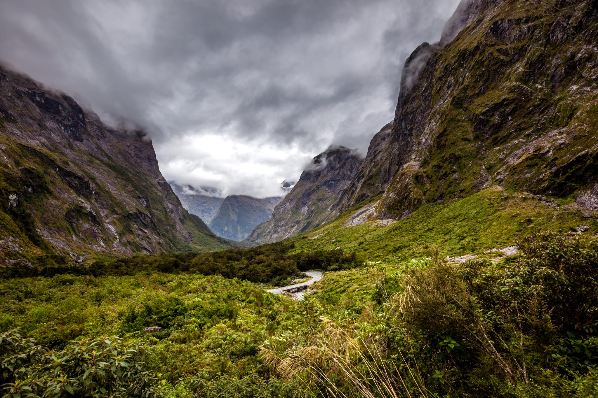
Milford Tunnel View-2
Milford Tunnel View-4

homer tunnel
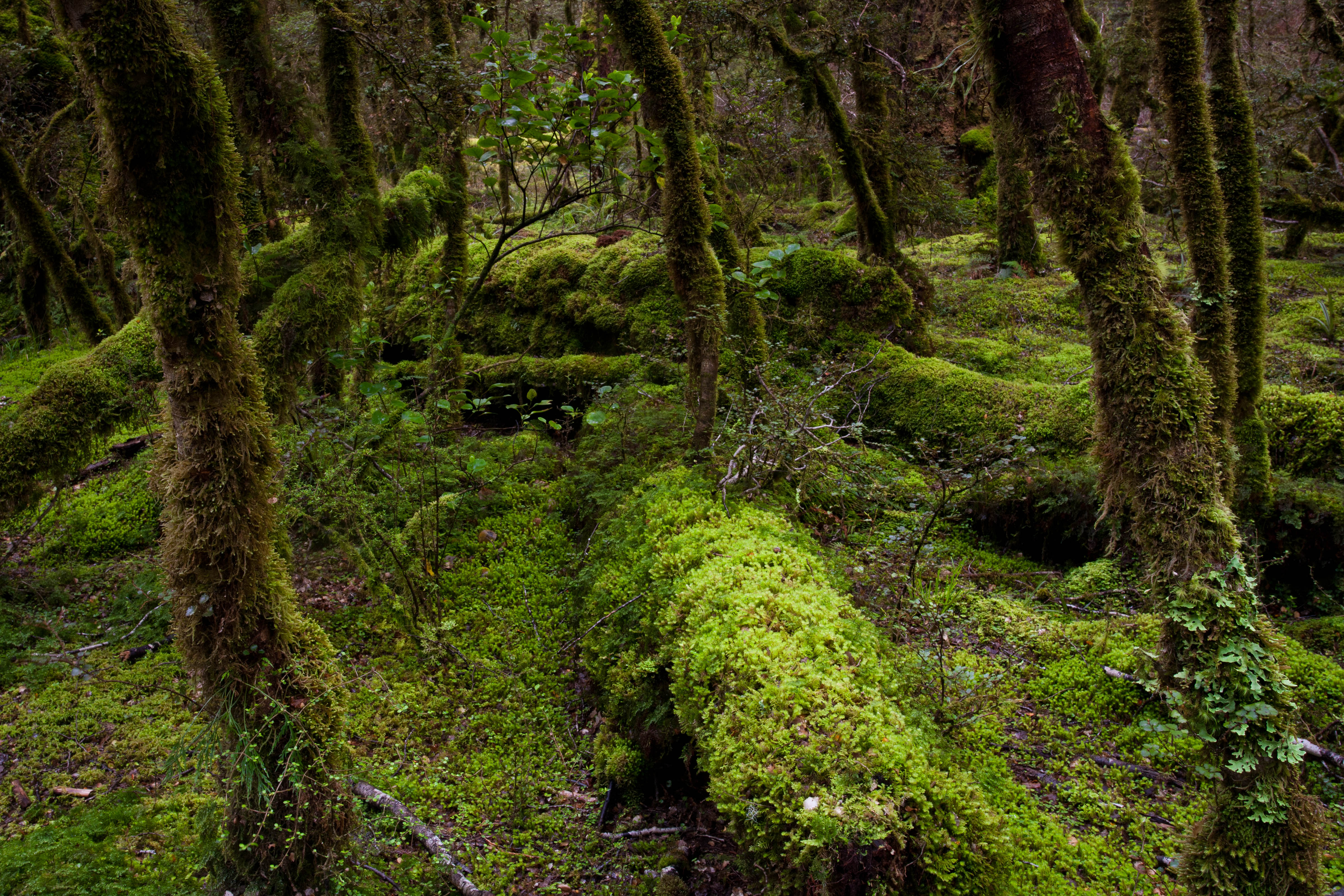
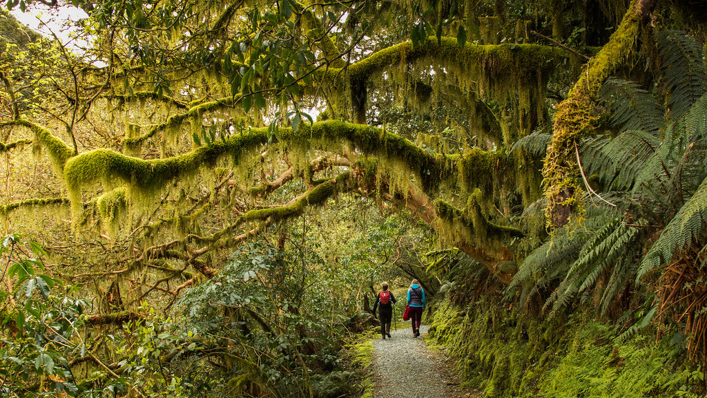
Moss covered trees in Fiordland National Park NZ
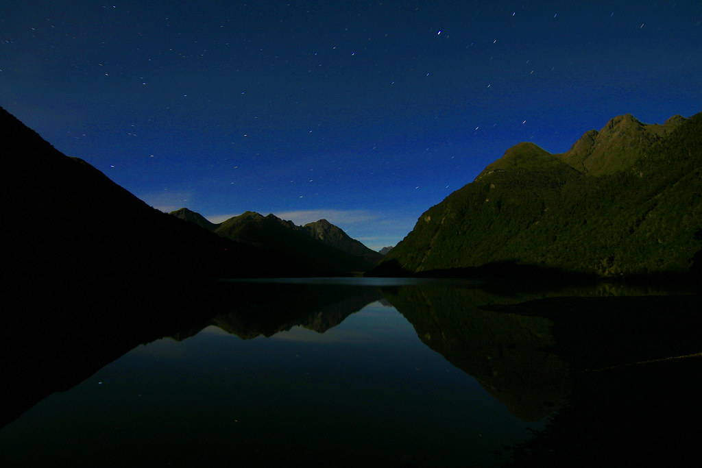
lake gunn at night
Mirror Lakes - view from
View of Mackenzie Hut 3
View of Mackenzie Hut 1
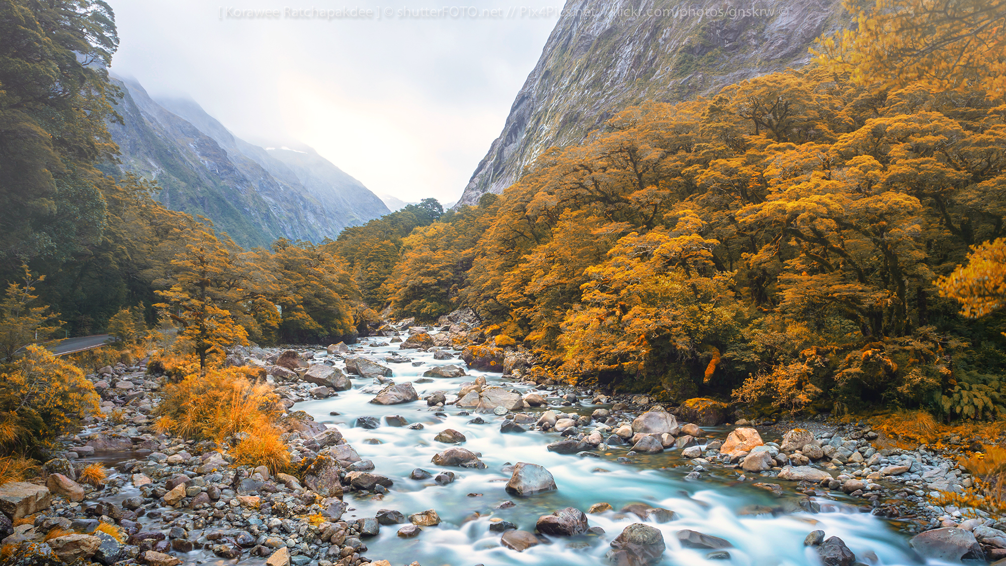
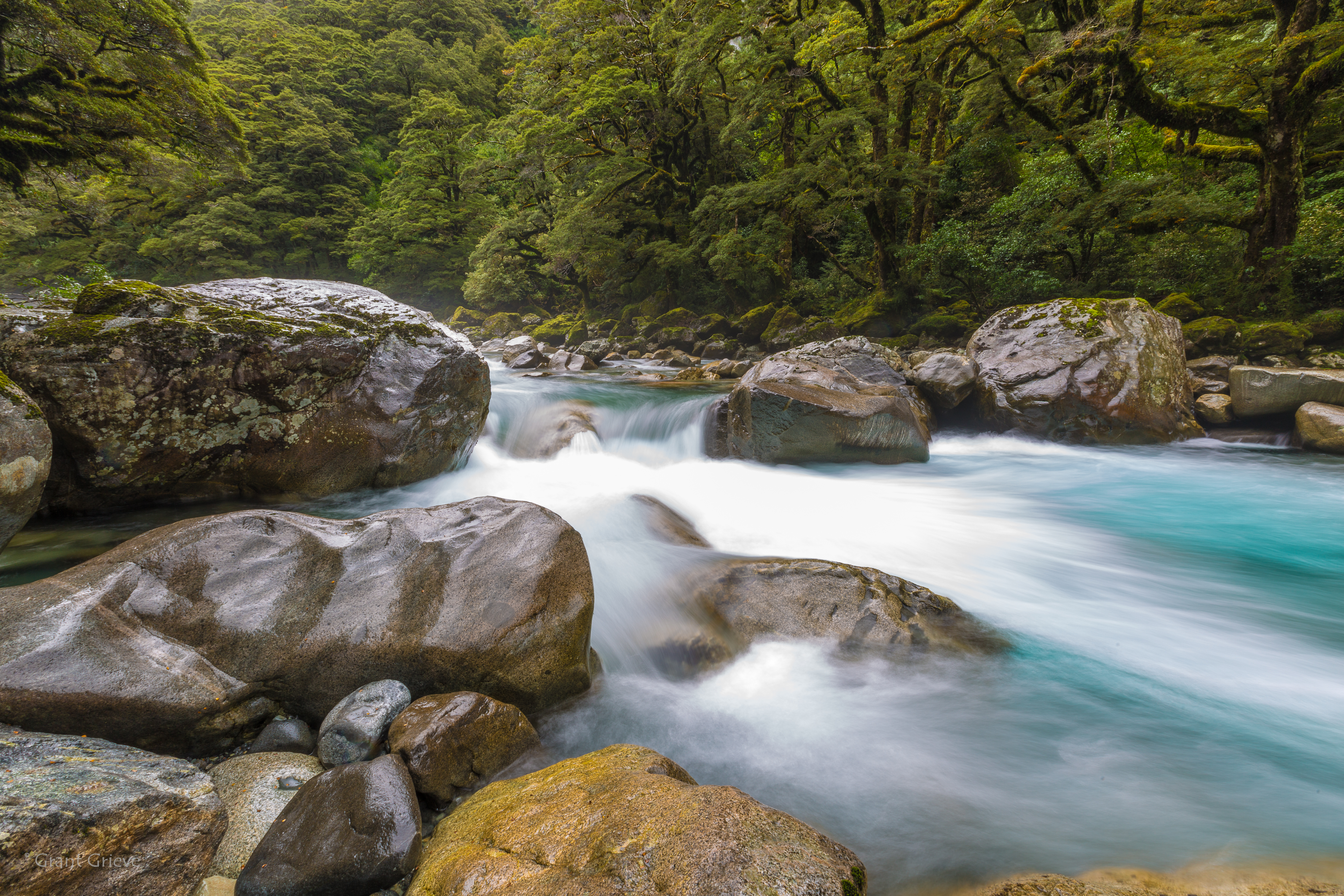
Misty Creek
_MG_2593 Cliff face at the Homer Tunnel
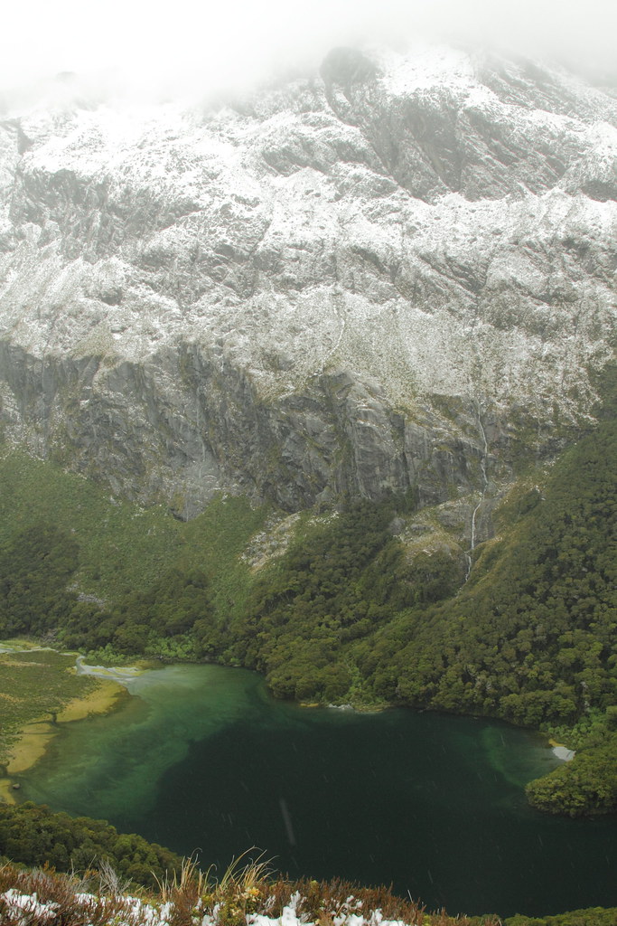
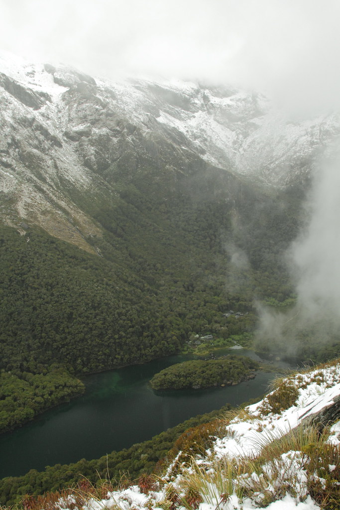
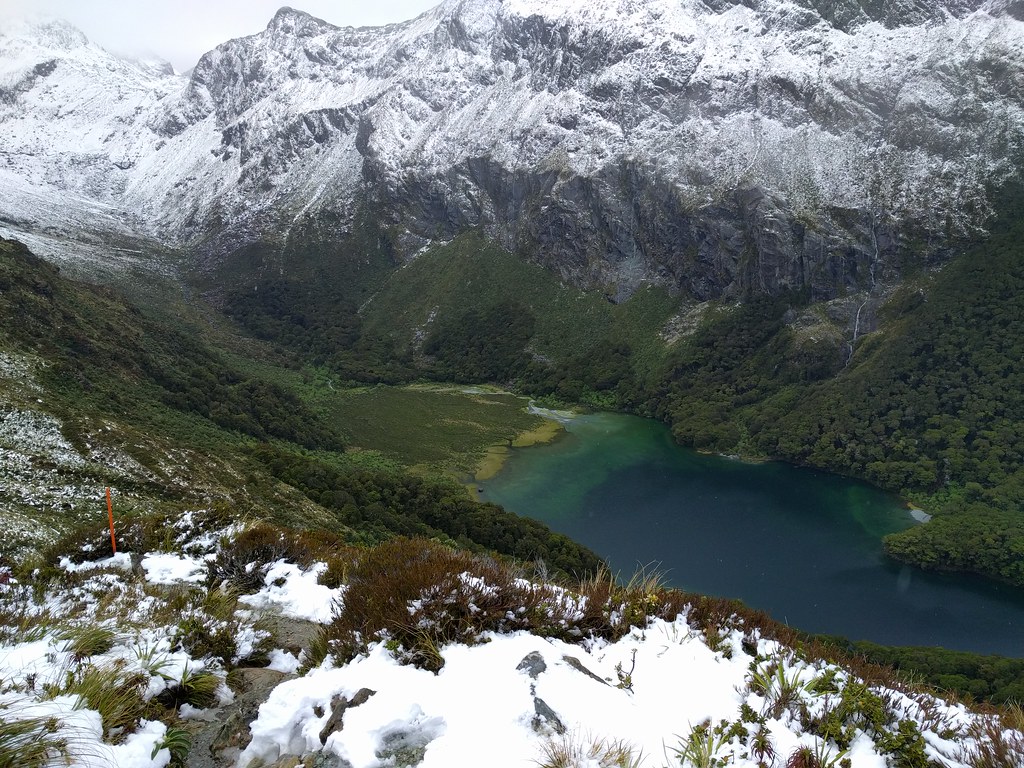
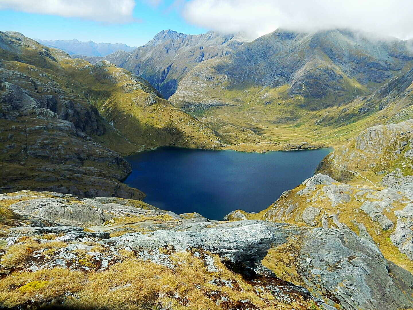
stunning view of Lake Mackenzie 2
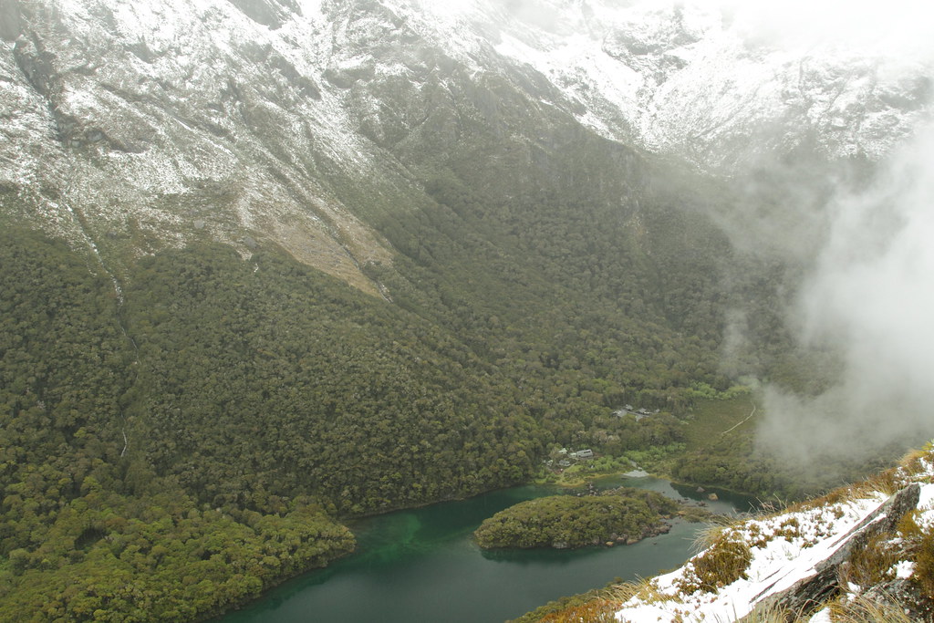
View of Lake Mackenzie - phone photo 2
stunning view of Lake Mackenzie 1

2011 02 New Zealand-141
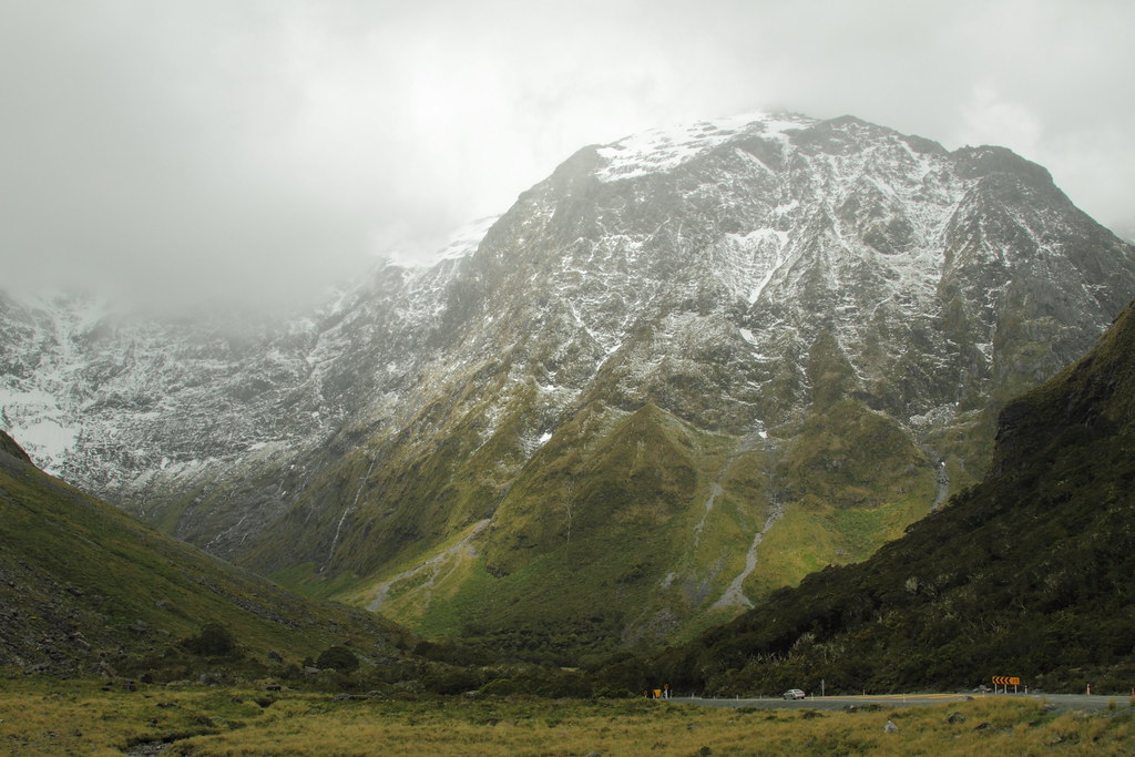
Mountain View
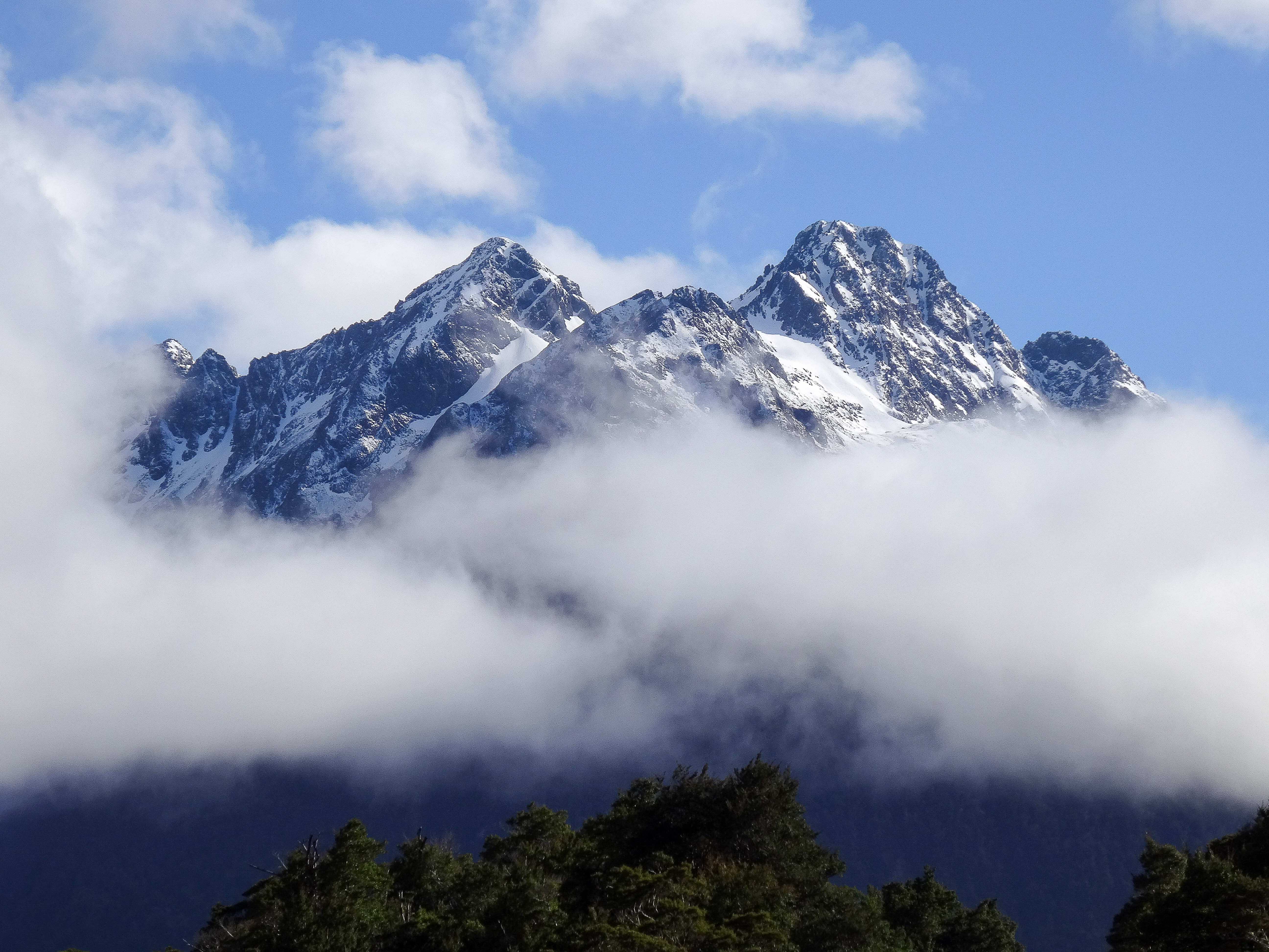
View of Humboldt Mountains from Routeburn Track, New Zealand, 2013

Mount Crosscut
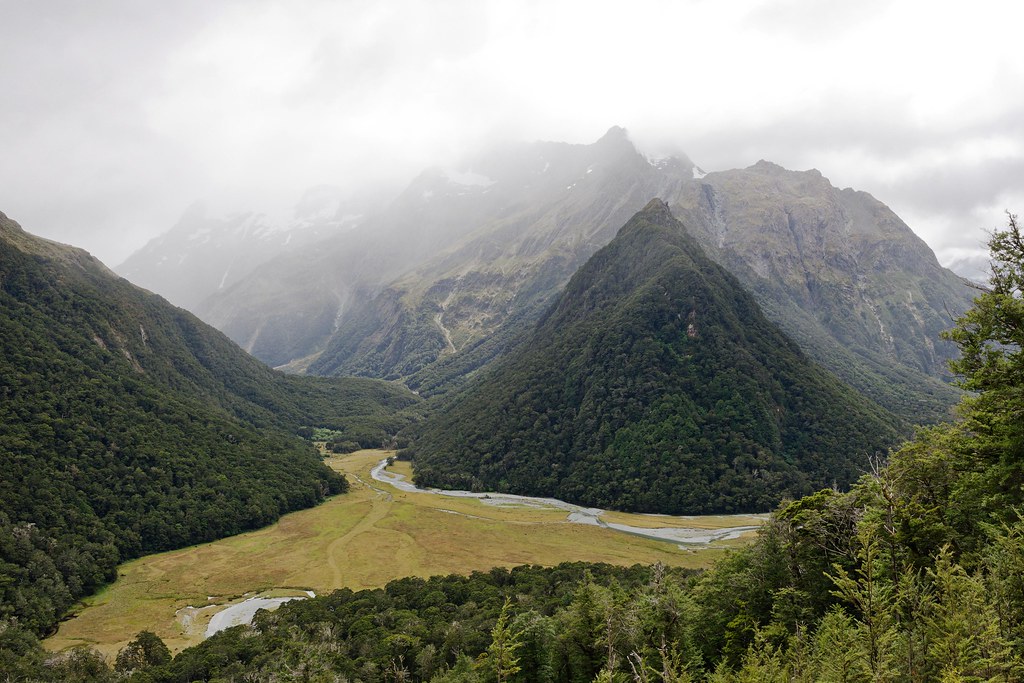
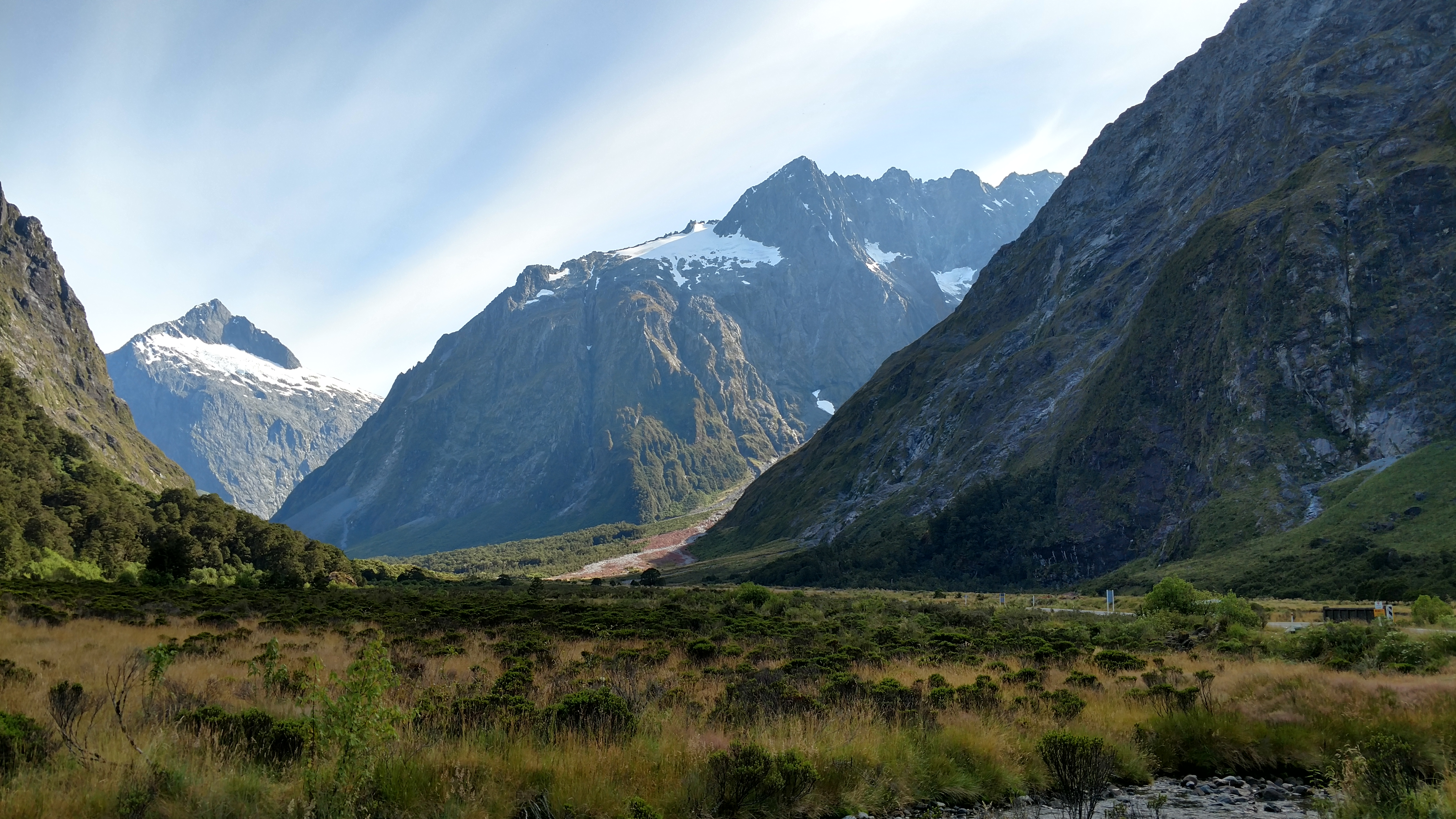
View down the valley

View from Plane
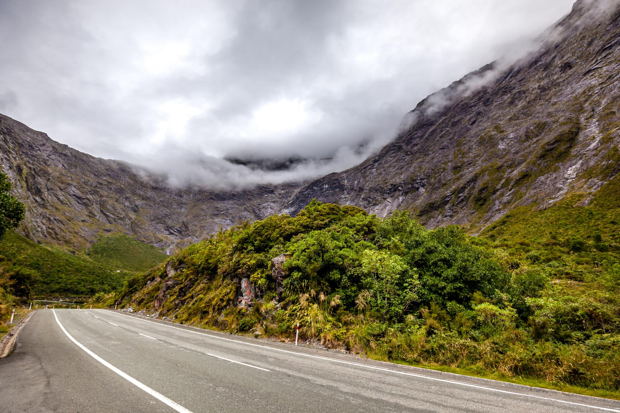
Midlford road view after homer tunnel - phone photo 1
Milford Road Trip-1

Milford Road Trip-4
IMG_4501_edited-1
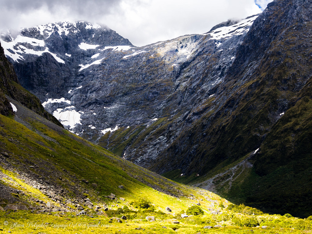
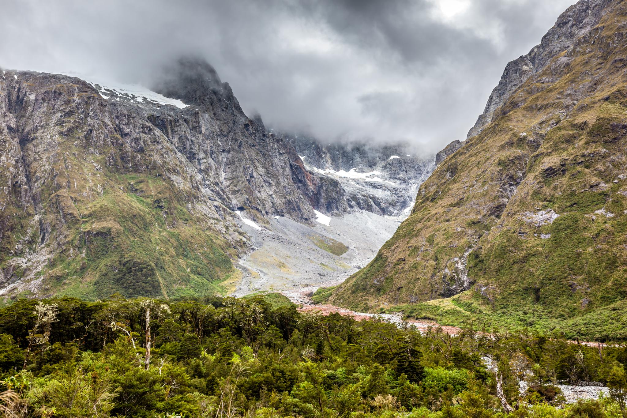
Gertrude valley at Homer Tunnel 1
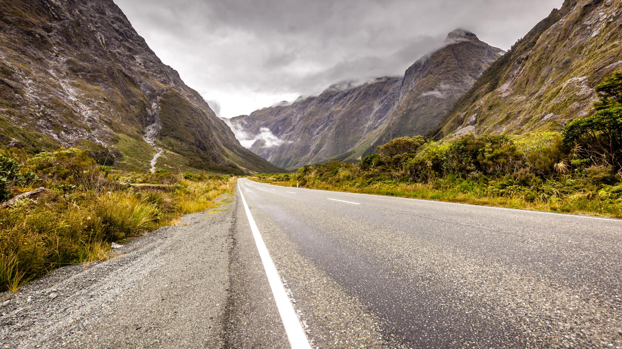
Milford Road Trip-2

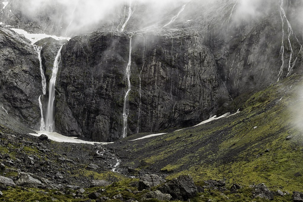
Falls Creek

NZ Sothern Alps with Waterfall
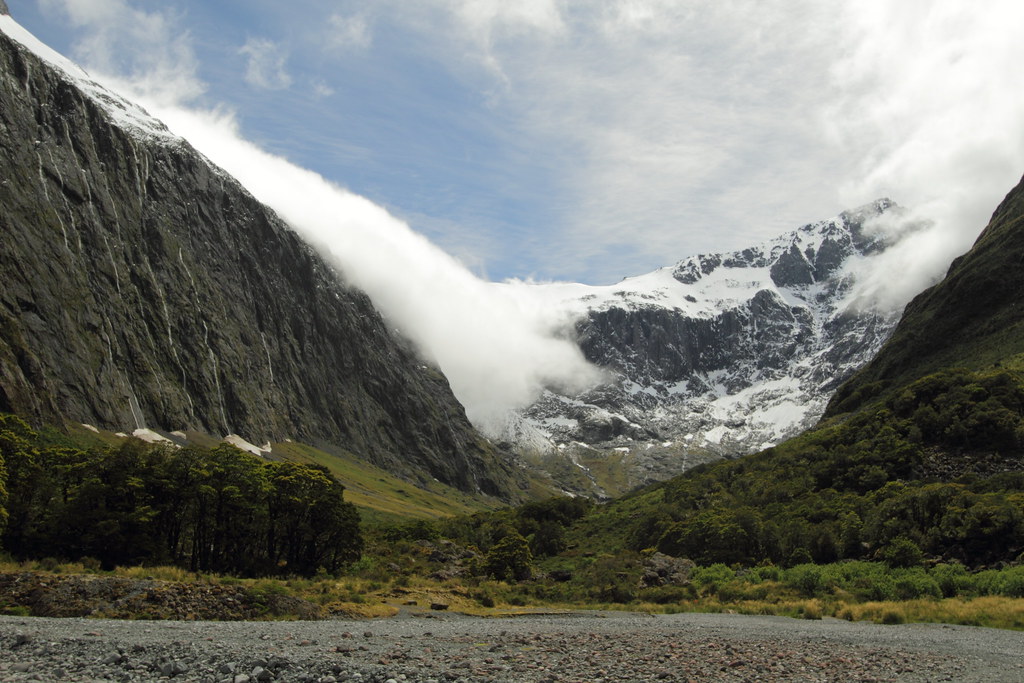
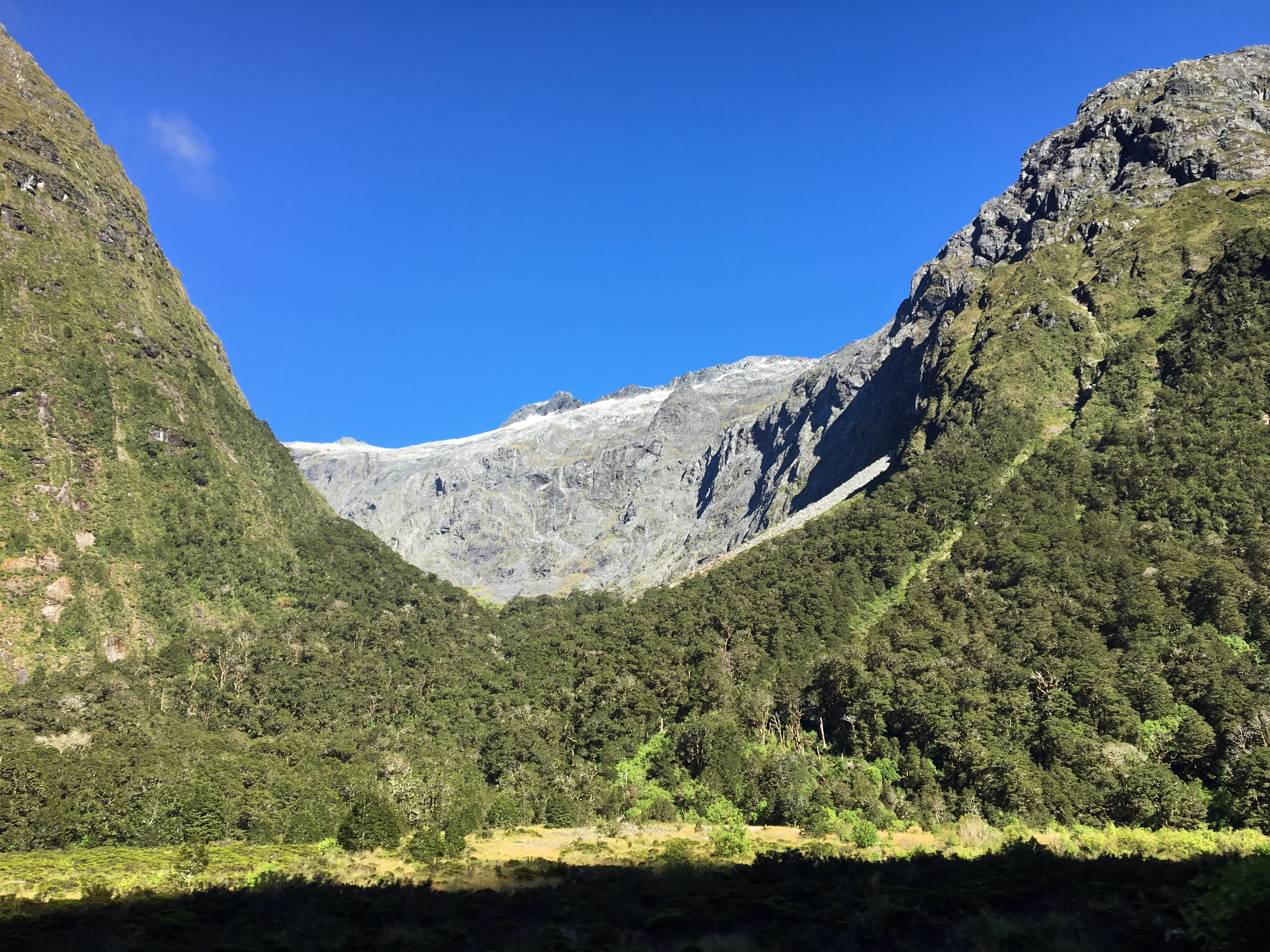
Gertrude valley Lookout 1
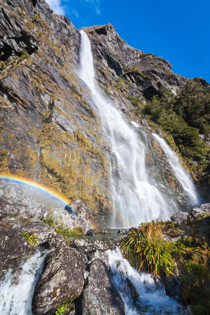
Earland Falls
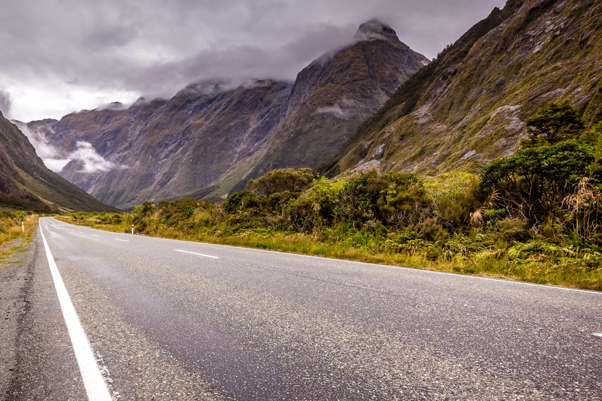
Milford Road Trip-3
New Zealand South island
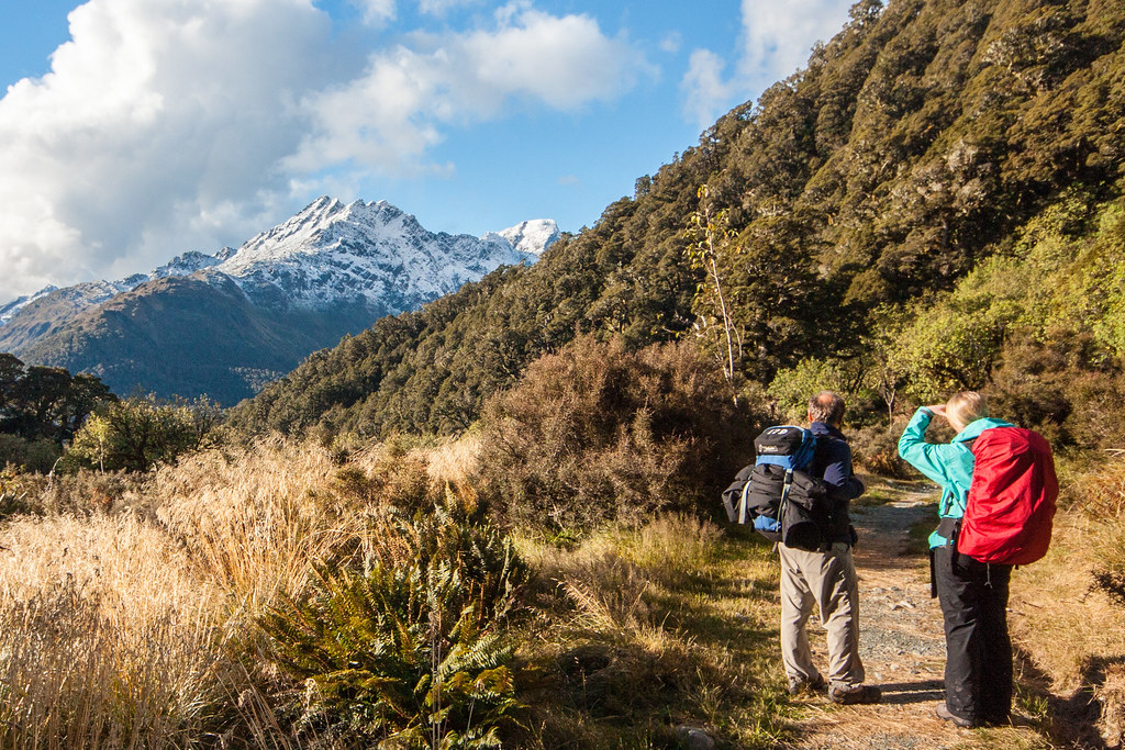
Tramping in New Zealand
New Zealand South island
Milford Sound, New Zealand March 11 20176
Gertrude valley at Homer Tunnel 3
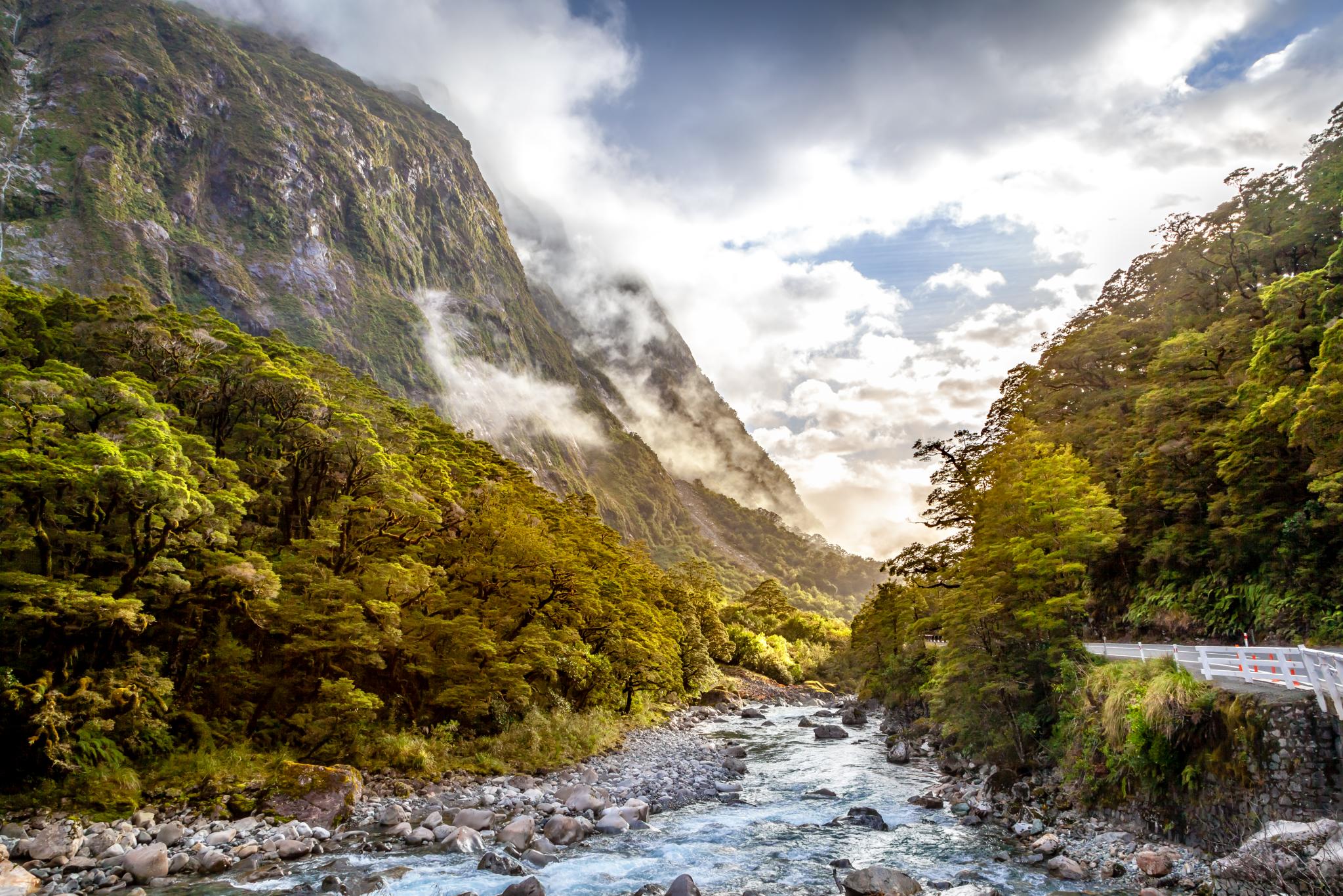
Falls Creek Milford Fiordland-11
Hollyford River
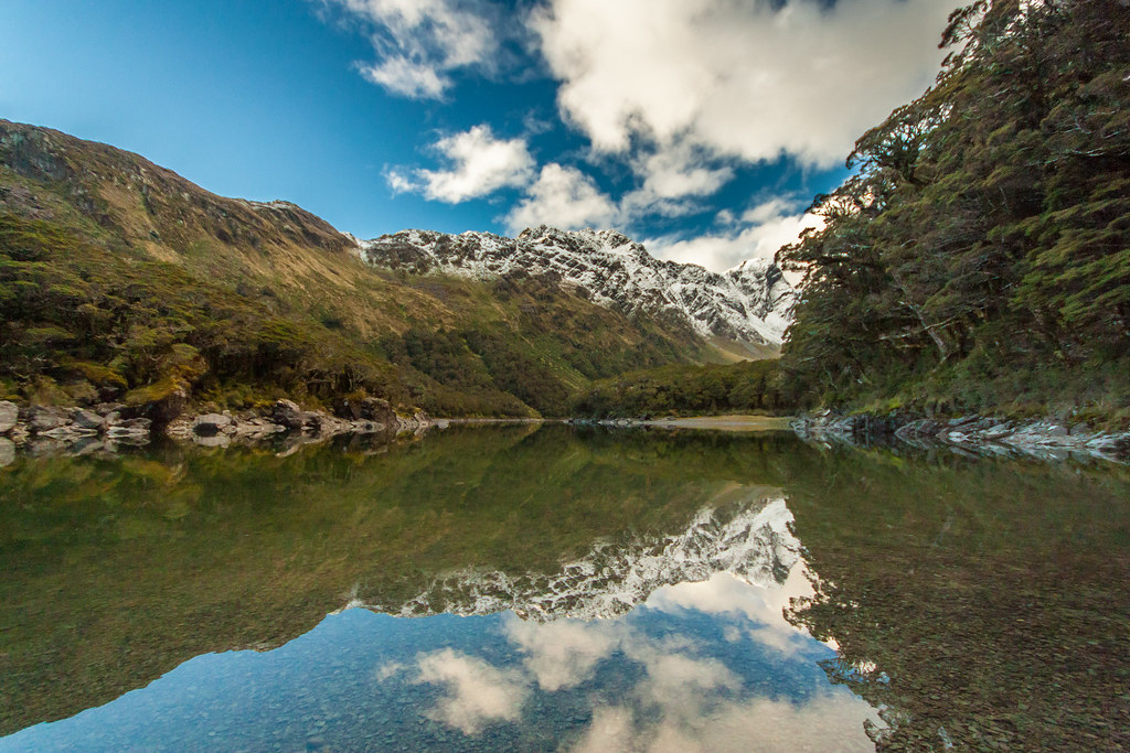
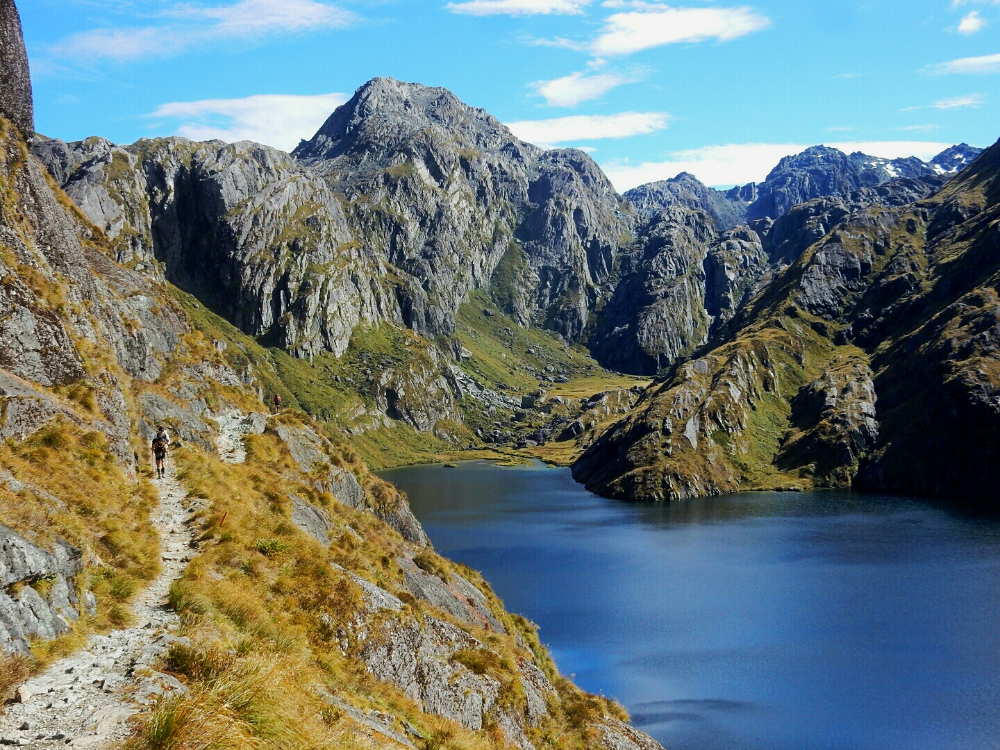
Lake Mackenzie Reflection
Topographic Map of The Divide, Te Anau-Milford Hwy, Fiordland National Park, New Zealand
Find elevation by address:

Places near The Divide, Te Anau-Milford Hwy, Fiordland National Park, New Zealand:
Key Summit Trail
Lake Howden Hut
Routeburn Track
Routeburn Track
Lake Mackenzie Hut
Routeburn Falls Hut
Hollyford Track
Homer Tunnel
1855 Lookout
Knobs Flat
Somnus
Routeburn Shelter Parking
Mount Madeline
Mount Alfred
Mount Tutoko
Paradise Trust
Glenorchy
130 Mull St
Milford Sound
Precipice Creek Station Bed And Breakfast
Recent Searches:
- Elevation of Shibuya Scramble Crossing, 21 Udagawacho, Shibuya City, Tokyo -, Japan
- Elevation of Jadagoniai, Kaunas District Municipality, Lithuania
- Elevation of Pagonija rock, Kranto 7-oji g. 8"N, Kaunas, Lithuania
- Elevation of Co Rd 87, Jamestown, CO, USA
- Elevation of Tenjo, Cundinamarca, Colombia
- Elevation of Côte-des-Neiges, Montreal, QC H4A 3J6, Canada
- Elevation of Bobcat Dr, Helena, MT, USA
- Elevation of Zu den Ihlowbergen, Althüttendorf, Germany
- Elevation of Badaber, Peshawar, Khyber Pakhtunkhwa, Pakistan
- Elevation of SE Heron Loop, Lincoln City, OR, USA