Elevation of HP Skippers Range, Southland, New Zealand
Location: New Zealand > Southland > Jamestown >
Longitude: 168.169999
Latitude: -44.434166
Elevation: 1048m / 3438feet
Barometric Pressure: 89KPa
Elevation Map:
Satellite Map:
Related Photos:
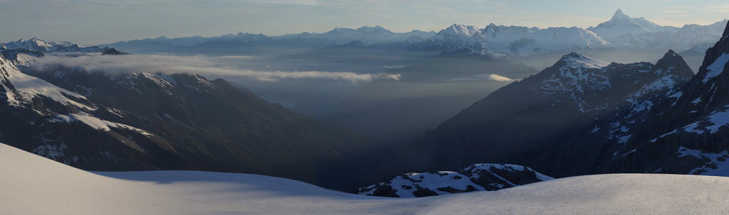
early morning wilderness
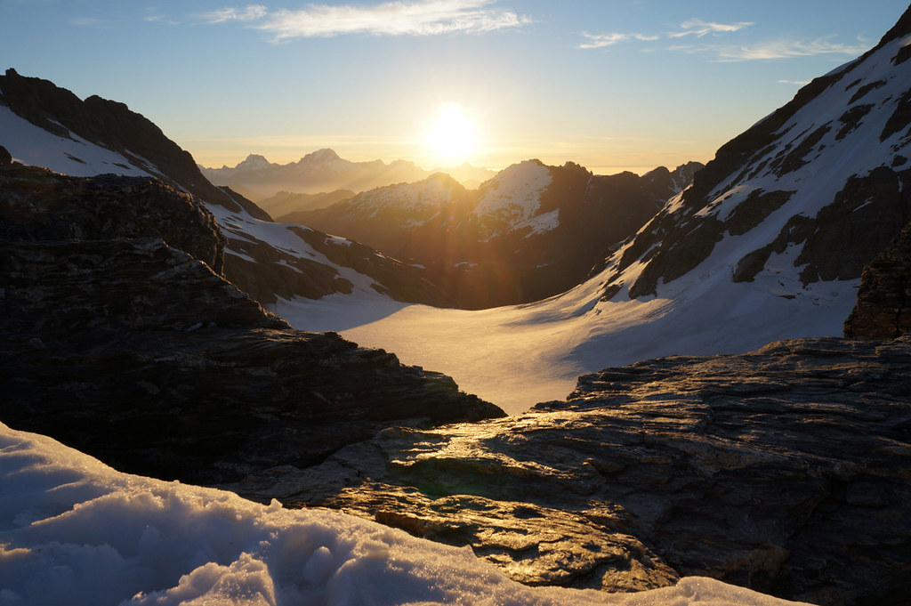
end of day 1 - barrier col, olivine ice plateau
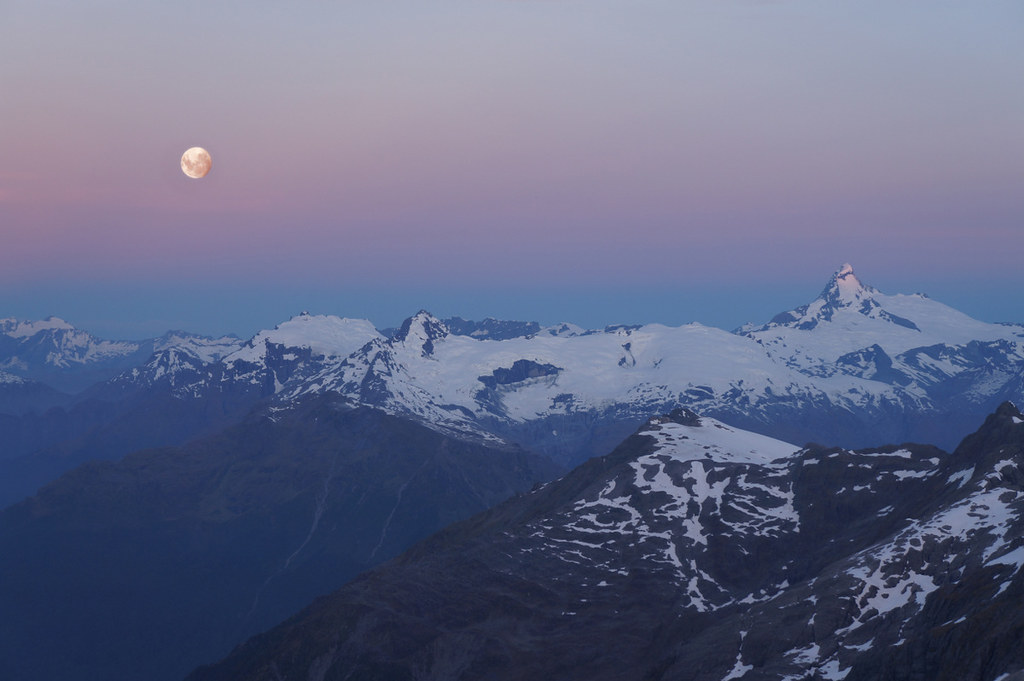
moonrise over eros ionia and aspiring
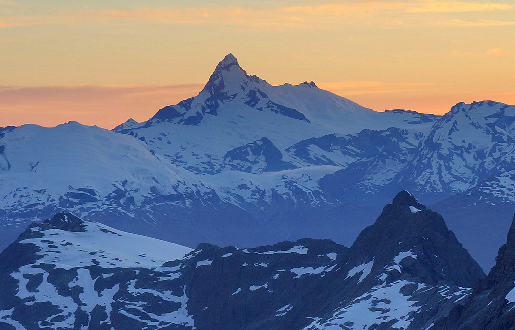
dawn behind the mountain
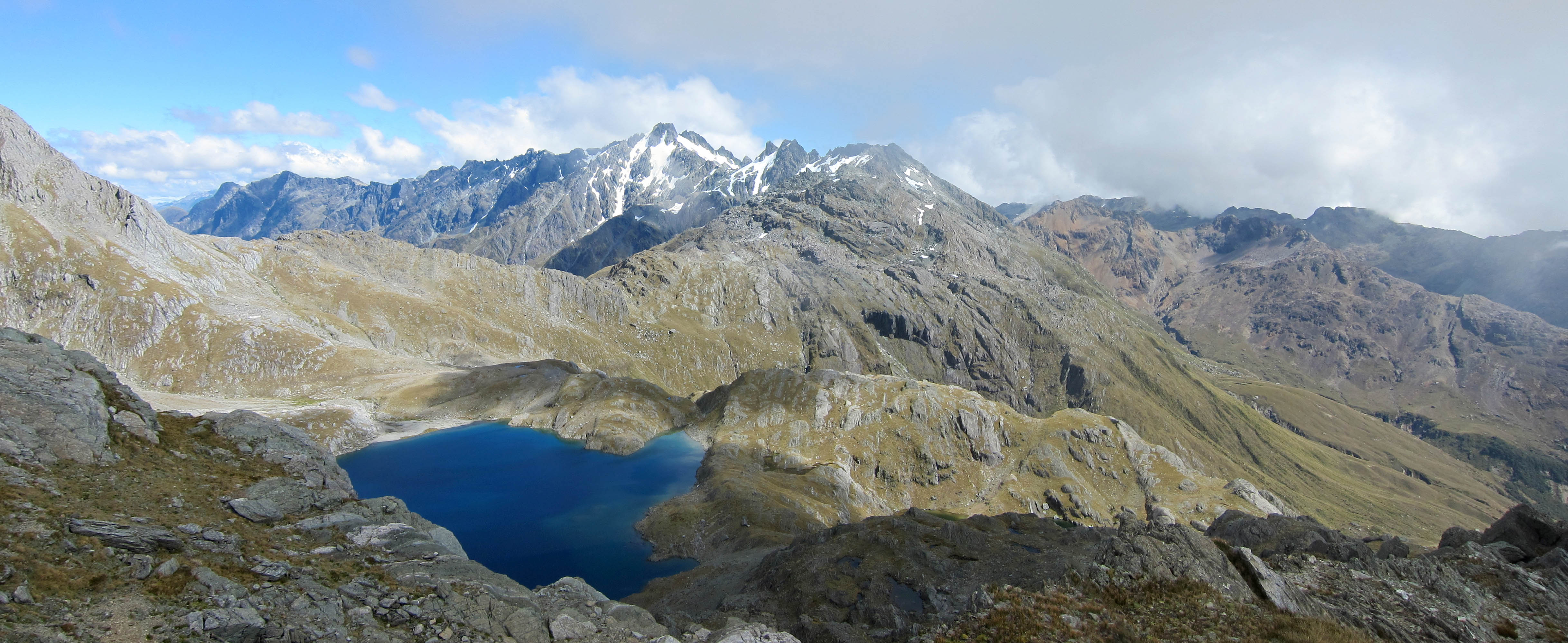
View from below Sunset Peak
Beans Burn from below Fohn Saddle

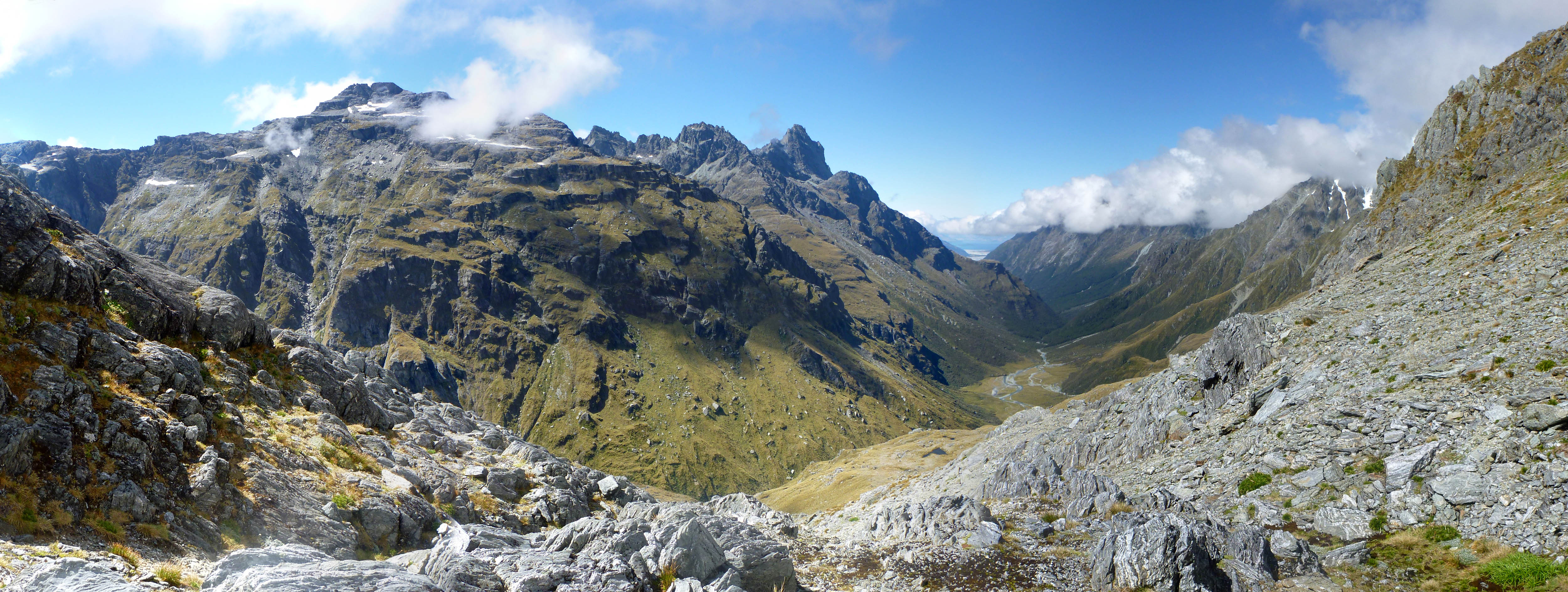
View NW from below Fohn Saddle
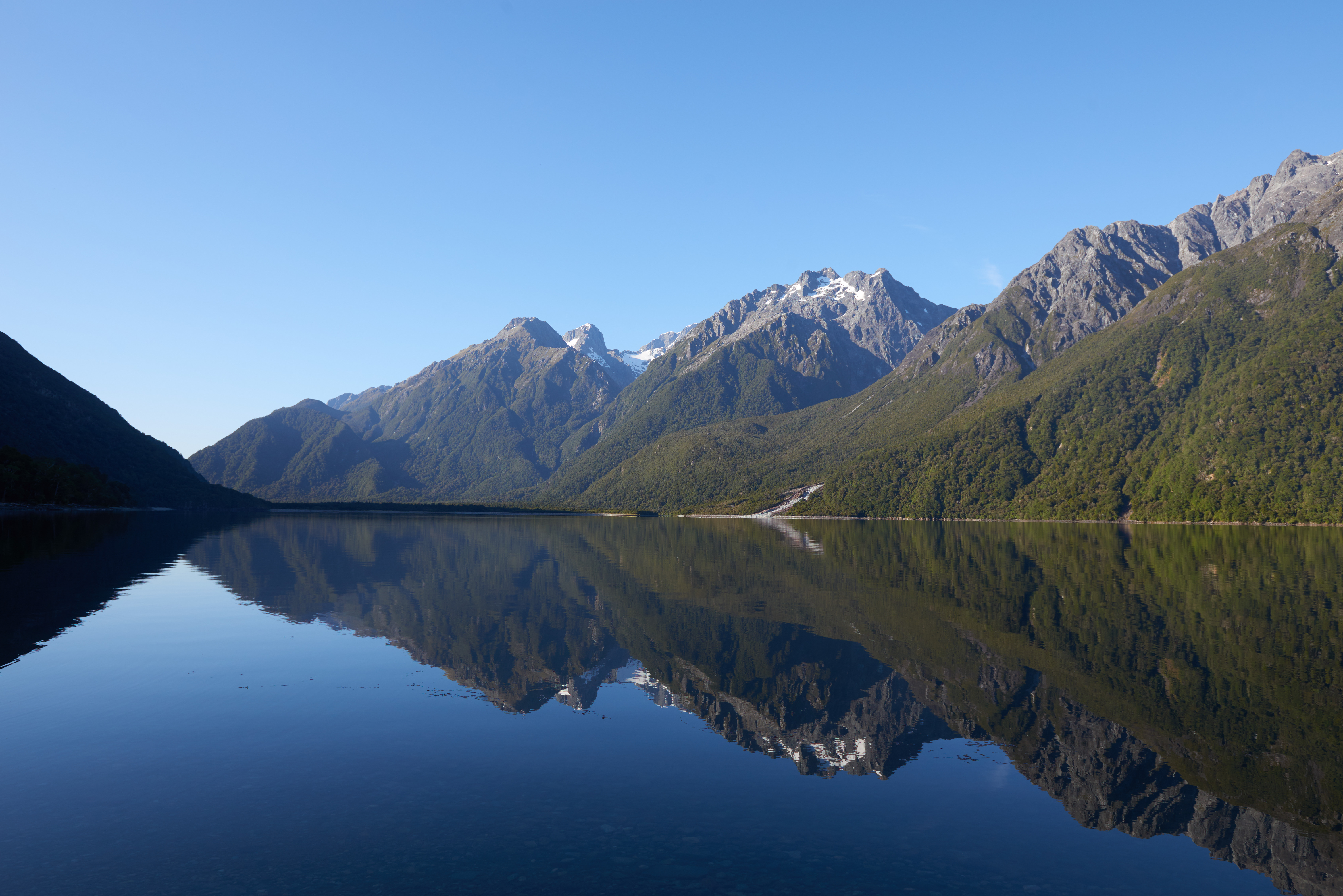
Lake McKerrow
Topographic Map of HP Skippers Range, Southland, New Zealand
Find elevation by address:

Places near HP Skippers Range, Southland, New Zealand:
Jamestown
Climax Peak
Mount Madeline
Mount Tutoko
Somnus
Hollyford Track
Routeburn Falls Hut
Mount Earnslaw
Routeburn Shelter Parking
Routeburn Track
Lake Mackenzie Hut
Milford Sound
Routeburn Track
Westland District
Paradise Trust
Mount Alfred
Key Summit Trail
Homer Tunnel
Lake Howden Hut
1855 Lookout
Recent Searches:
- Elevation of Corso Fratelli Cairoli, 35, Macerata MC, Italy
- Elevation of Tallevast Rd, Sarasota, FL, USA
- Elevation of 4th St E, Sonoma, CA, USA
- Elevation of Black Hollow Rd, Pennsdale, PA, USA
- Elevation of Oakland Ave, Williamsport, PA, USA
- Elevation of Pedrógão Grande, Portugal
- Elevation of Klee Dr, Martinsburg, WV, USA
- Elevation of Via Roma, Pieranica CR, Italy
- Elevation of Tavkvetili Mountain, Georgia
- Elevation of Hartfords Bluff Cir, Mt Pleasant, SC, USA