Elevation of Smoot, WV, USA
Location: United States > West Virginia > Greenbrier County > Western >
Longitude: -80.658972
Latitude: 37.87873
Elevation: 756m / 2480feet
Barometric Pressure: 93KPa
Elevation Map:
Satellite Map:
Related Photos:

Beyond the Sunset

View from Alderson (WV) Cemetery

Morlunda Barn

View from Alderson (WV) Cemetery

Herns Mill Bridge interior

View from Alderson Cemetery (WV)

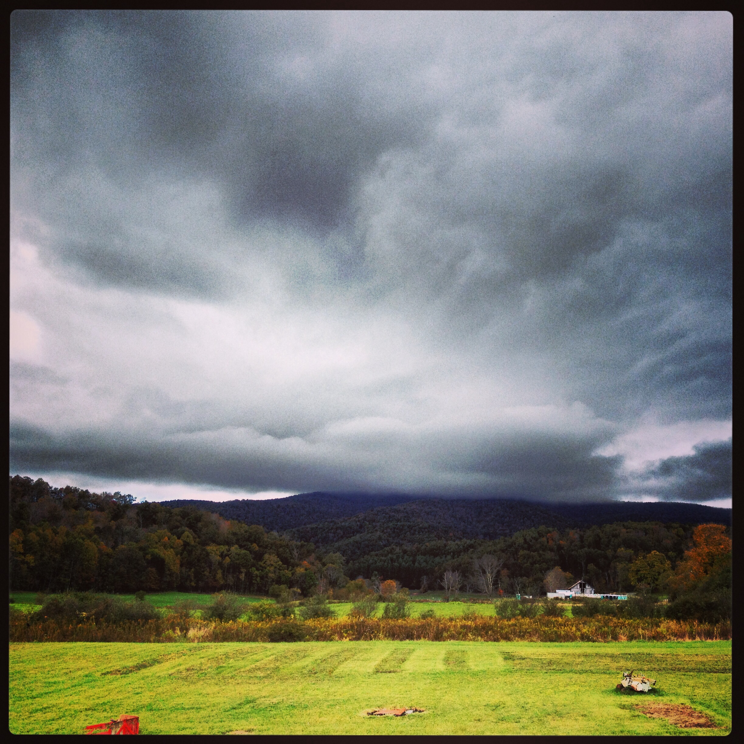
Journey's End

Crawley Bend #1

Crawley Bend #2

Crawley Bend #3

Dawson, WV

Summer Falls

Blue Sulphur Springs from a distance

Blue Sulphur Springs

Family Camp Snowshoe 2014

Meadow River Wildlife Management Area

Rainelle #14

Rainelle #10

Rainelle #13

Rainelle #12

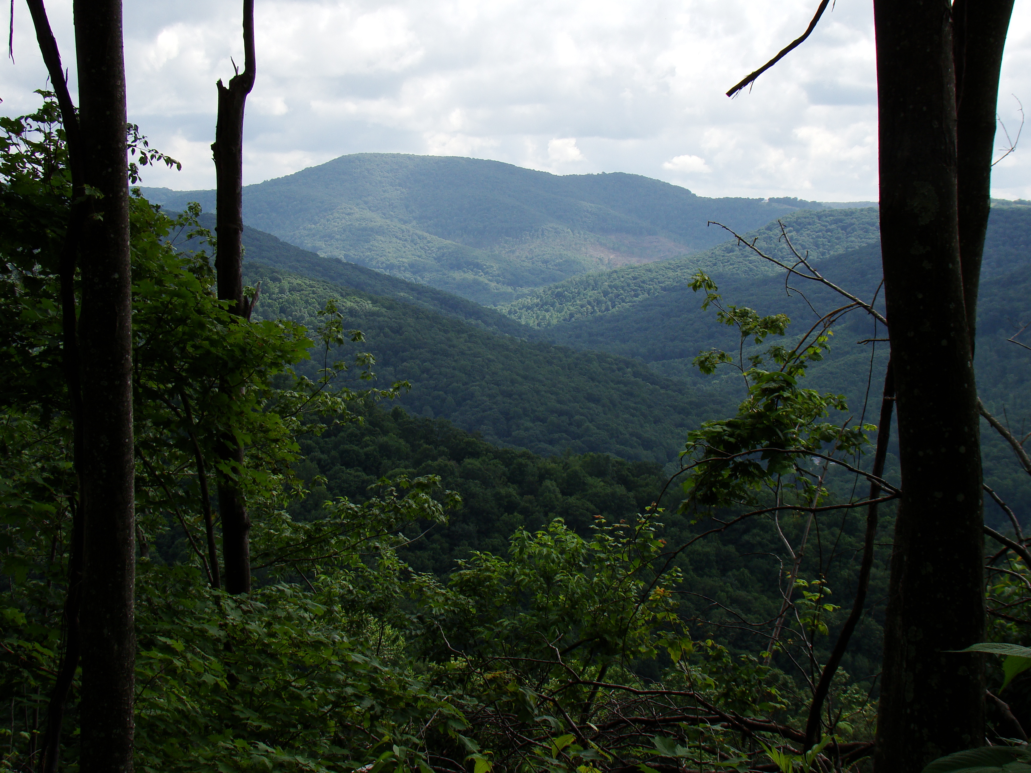
Meadow River Wildlife Management Area

Blue Sulphur Springs

Blue Sulphur Springs Pavilion

Rainelle #11

Rainelle #9
Beautiful winter
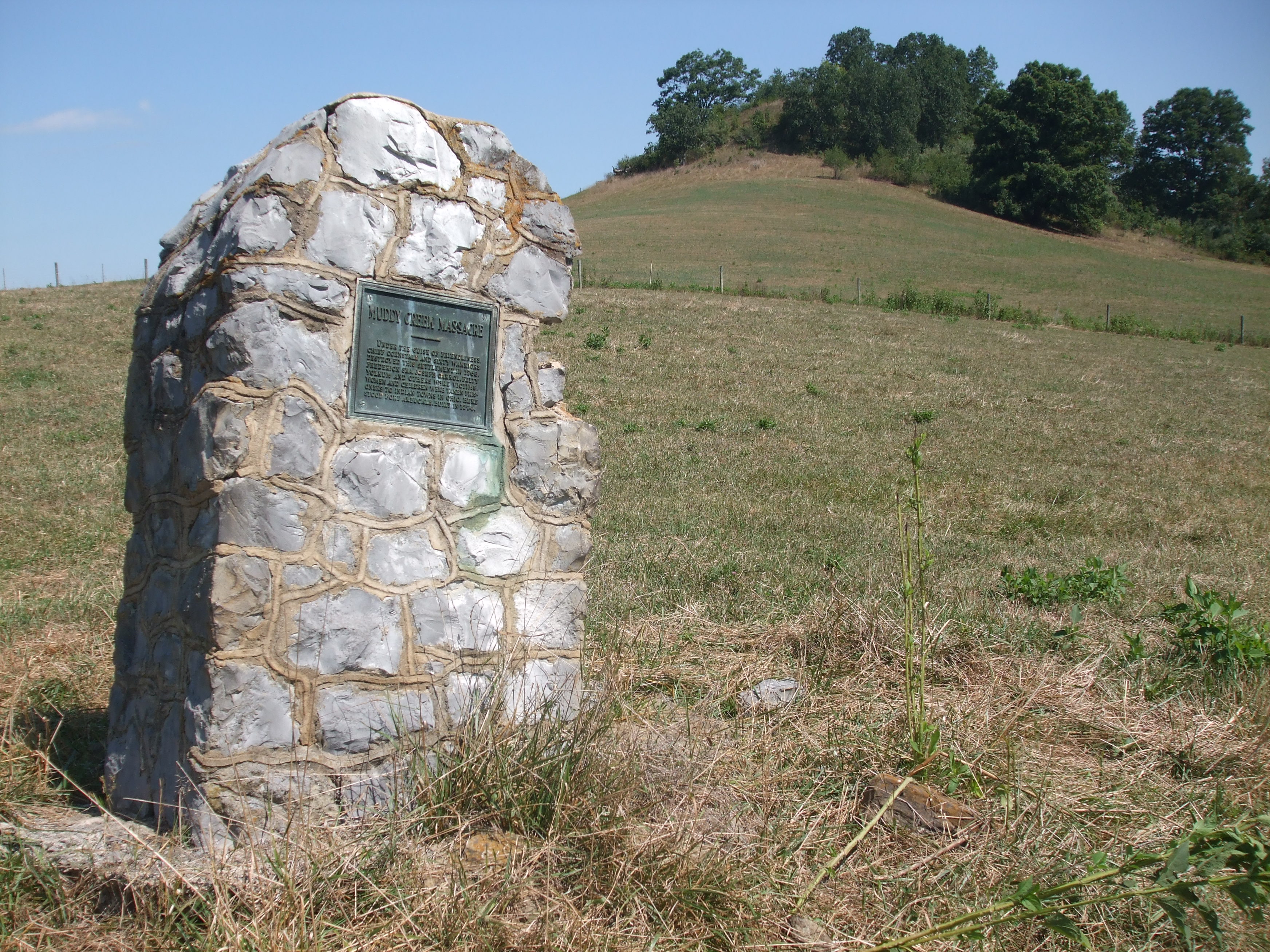
Muddy Creek Massacre
Rainelle #4
Topographic Map of Smoot, WV, USA
Find elevation by address:

Places in Smoot, WV, USA:
Places near Smoot, WV, USA:
230 Kitchen Creek Rd
230 Kitchen Creek Rd
230 Kitchen Creek Rd
Kitchen Creek Road
Meadow Bluff
Sam Black Church
Battleground Circle
Midland Trail W, Crawley, WV, USA
Grassy Meadows Road, Grassy Meadows, WV, USA
Crawley
Farmdale Rd, Western, WV, USA
427 Deitz Rd
Kieffer
Grassy Meadows
Rupert
Rockcliff Rd, Crawley, WV, USA
371 Baldwin Rd
Simms Mountain Road
Rainelle
Spring Dale
Recent Searches:
- Elevation of Lampiasi St, Sarasota, FL, USA
- Elevation of Elwyn Dr, Roanoke Rapids, NC, USA
- Elevation of Congressional Dr, Stevensville, MD, USA
- Elevation of Bellview Rd, McLean, VA, USA
- Elevation of Stage Island Rd, Chatham, MA, USA
- Elevation of Shibuya Scramble Crossing, 21 Udagawacho, Shibuya City, Tokyo -, Japan
- Elevation of Jadagoniai, Kaunas District Municipality, Lithuania
- Elevation of Pagonija rock, Kranto 7-oji g. 8"N, Kaunas, Lithuania
- Elevation of Co Rd 87, Jamestown, CO, USA
- Elevation of Tenjo, Cundinamarca, Colombia