Elevation map of Greenbrier County, WV, USA
Location: United States > West Virginia >
Longitude: -80.543845
Latitude: 38.0198478
Elevation: 1082m / 3550feet
Barometric Pressure: 89KPa
Elevation Map:
Satellite Map:
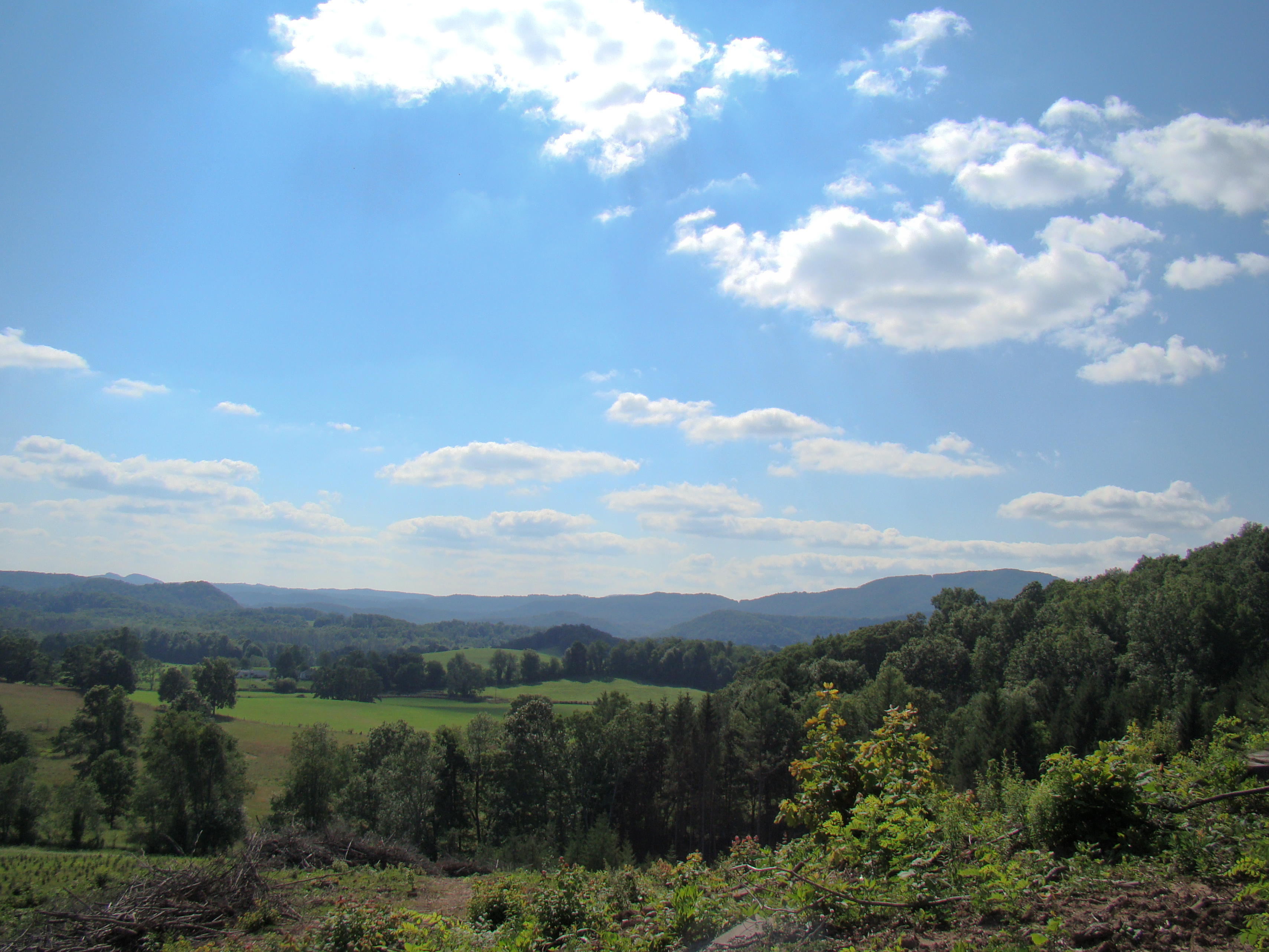
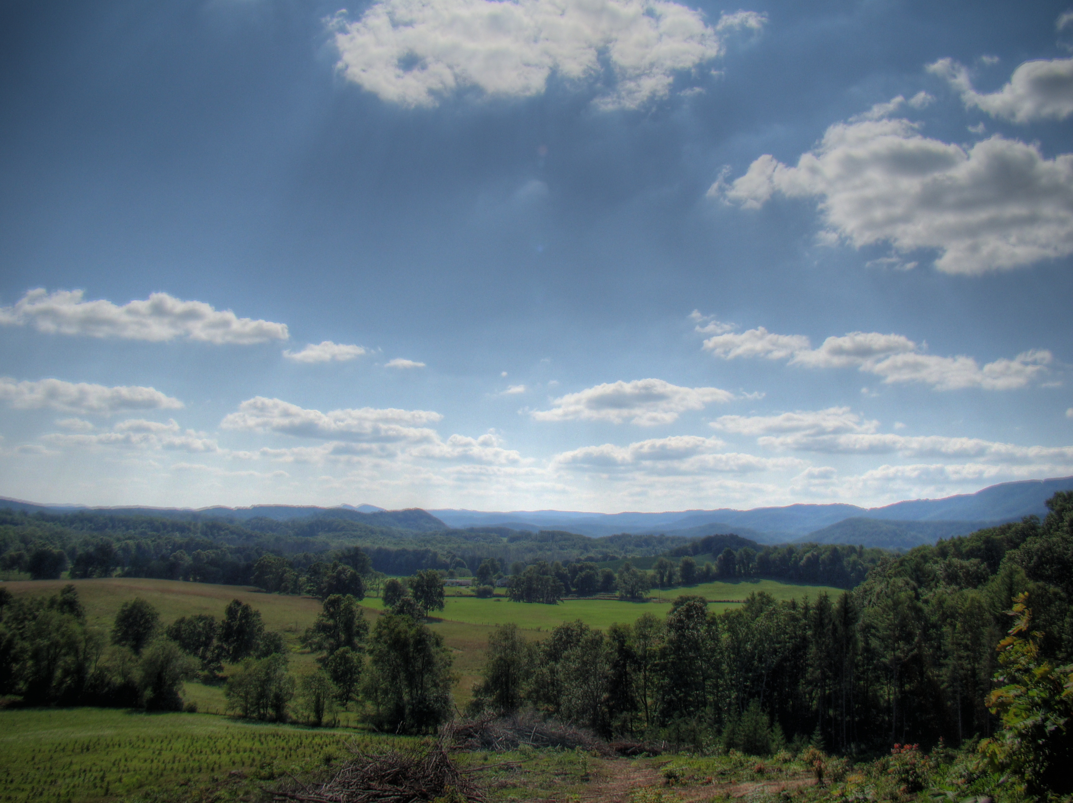
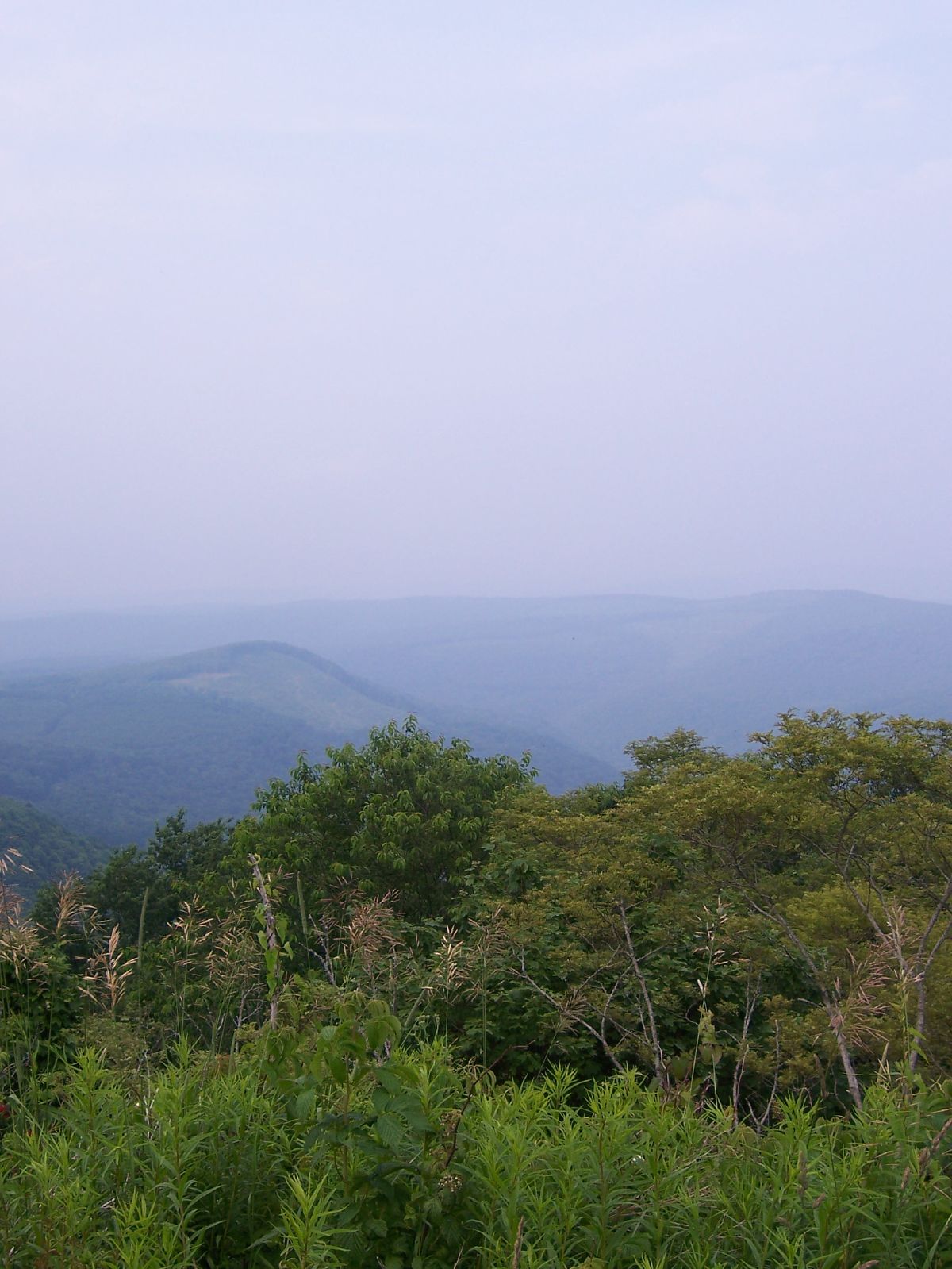
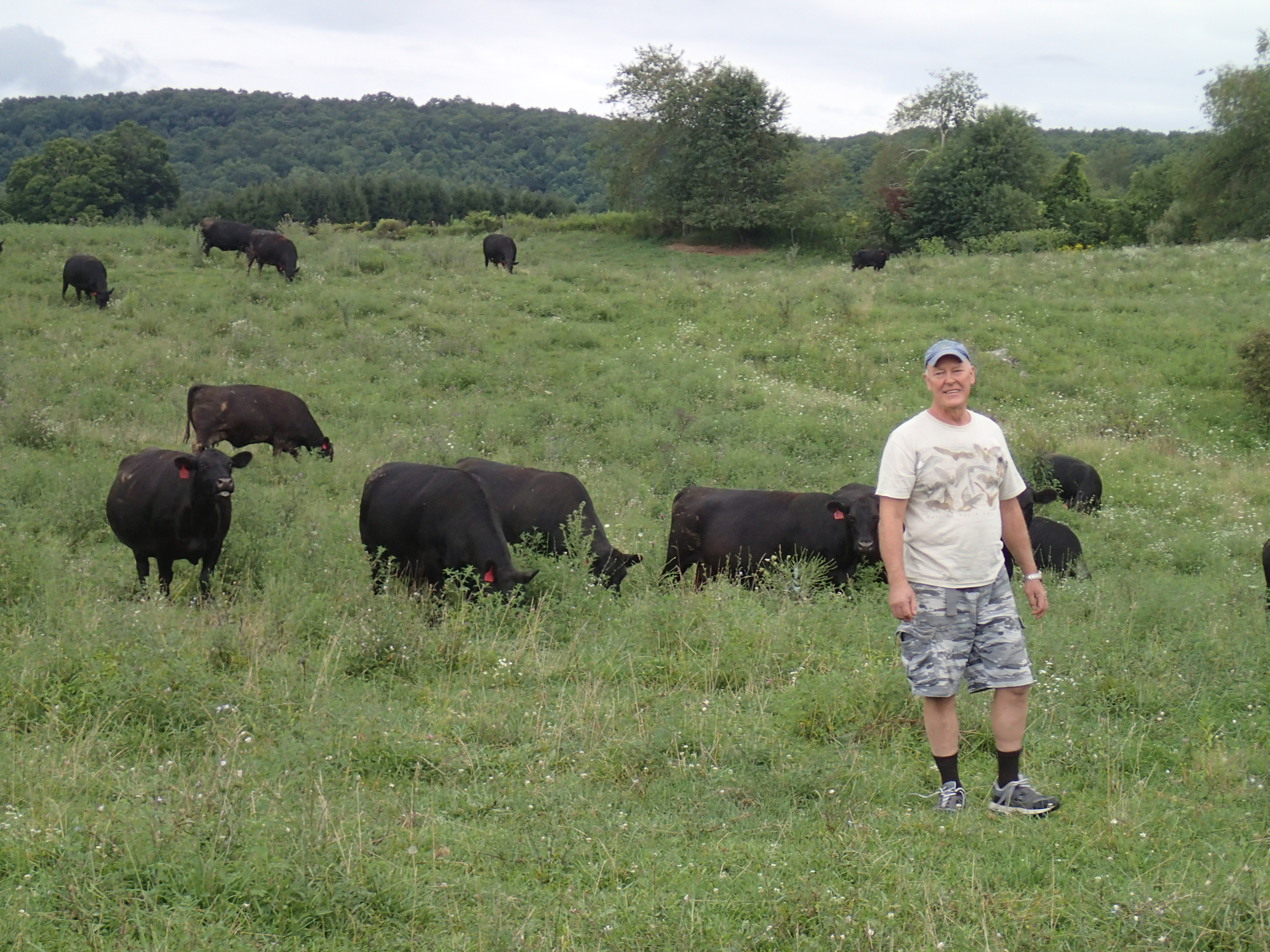
Related Photos:

Mail Pouch Tobacco Sign -- Greenbrier County, West Virginia (#2)
Crawley Bend #2
Crawley Bend #3
Crawley Bend #1
Journey's End
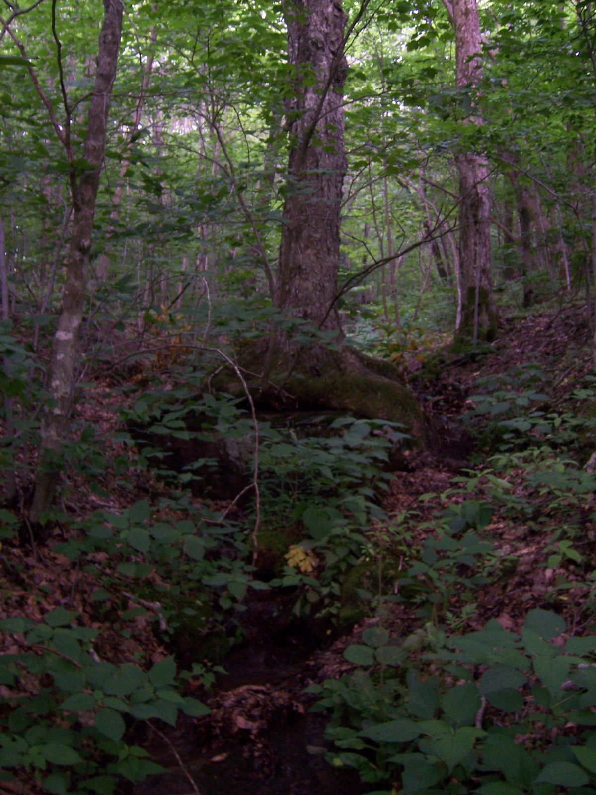
natural spring

Meadow River Wildlife Management Area
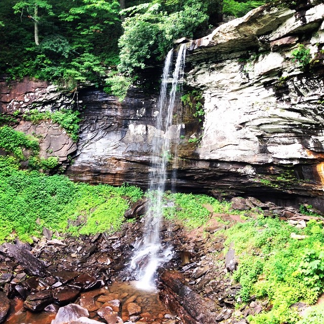
Summer Falls

Greenbrier County Barn
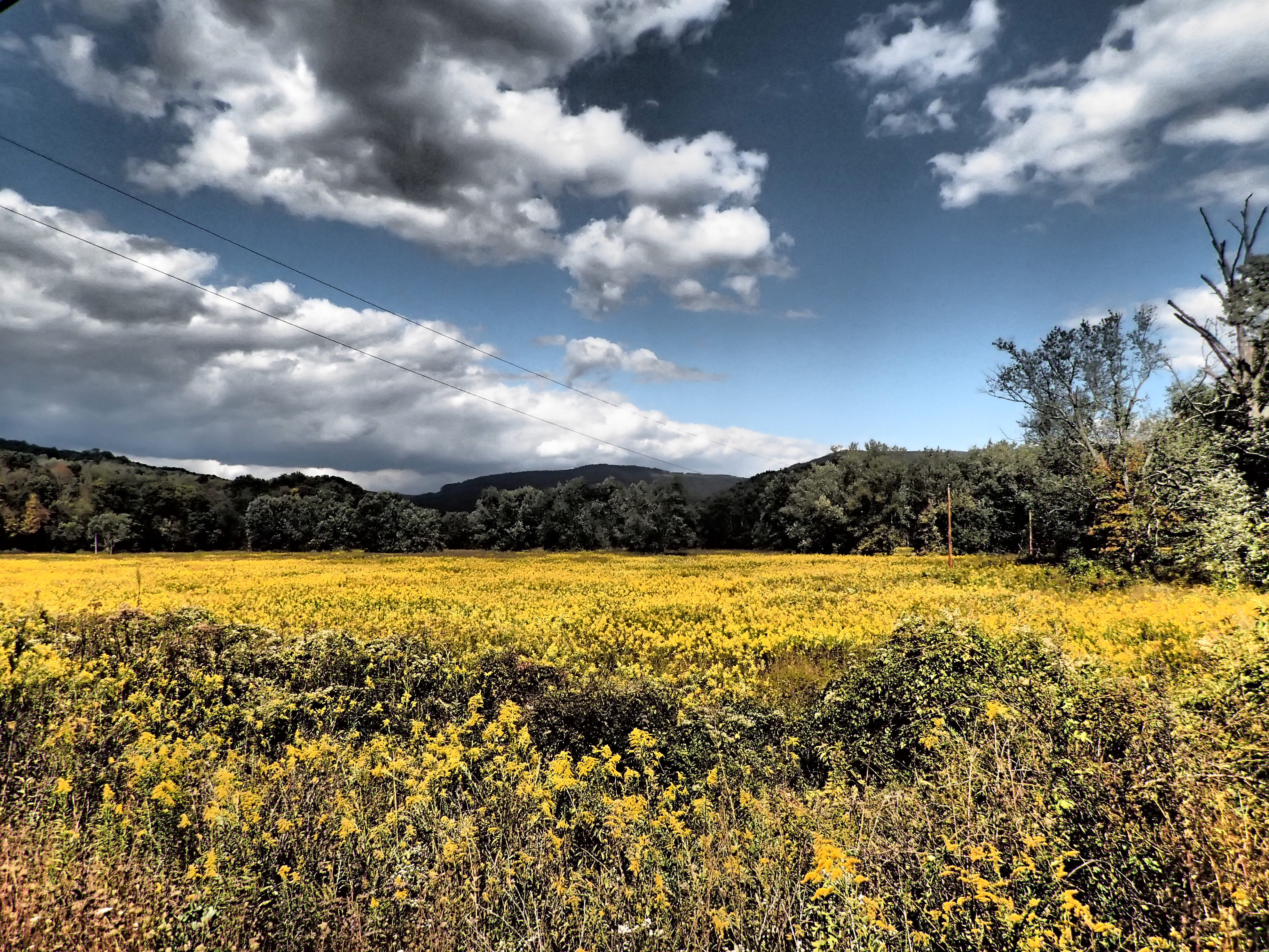
#Richwood beauty. #WV #summer
Mule not included
A bend in the road
Crawley Bend HDR
cold knob 2

Meadow River Wildlife Management Area
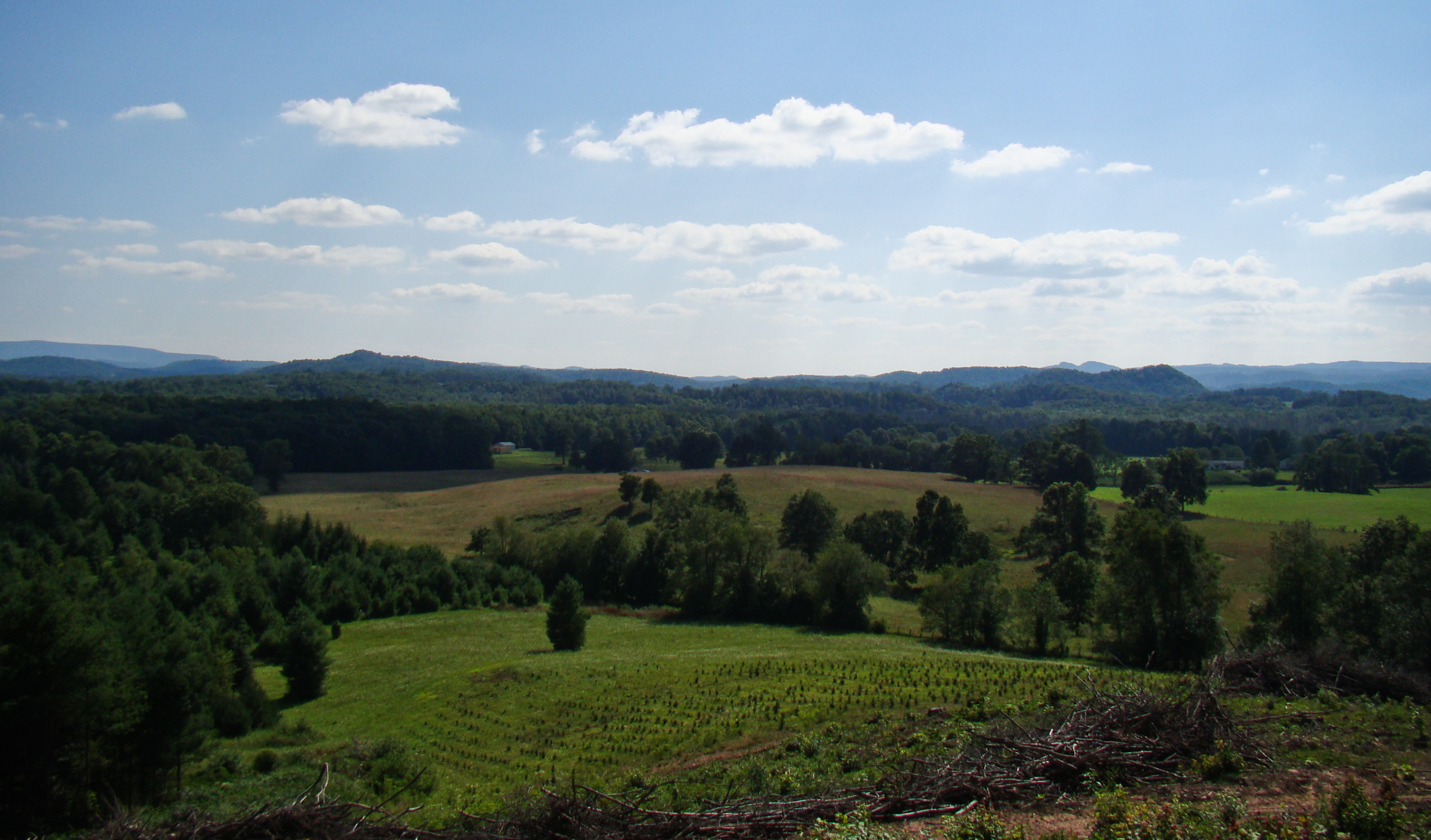
After Poor Farm
Topographic Map of Greenbrier County, WV, USA
Find elevation by address:

Places in Greenbrier County, WV, USA:
Places near Greenbrier County, WV, USA:
Western
Clearco Rd, Leivasy, WV, USA
Sunlight
Sky Way
2455 Anjean Rd
Panther Camp Road
Grassy Ck Rd, Fenwick, WV, USA
8321 Leonard-cordova Rd
Rock Camp Road
U.s. 219
U.s. 219
U.s. 219
Renick
1905 Robins Fork Rd
Leivasy
Richwood
East Main Street
80 E Walnut St
Fenwick
2899 Brownstown Rd
Recent Searches:
- Elevation of Corso Fratelli Cairoli, 35, Macerata MC, Italy
- Elevation of Tallevast Rd, Sarasota, FL, USA
- Elevation of 4th St E, Sonoma, CA, USA
- Elevation of Black Hollow Rd, Pennsdale, PA, USA
- Elevation of Oakland Ave, Williamsport, PA, USA
- Elevation of Pedrógão Grande, Portugal
- Elevation of Klee Dr, Martinsburg, WV, USA
- Elevation of Via Roma, Pieranica CR, Italy
- Elevation of Tavkvetili Mountain, Georgia
- Elevation of Hartfords Bluff Cir, Mt Pleasant, SC, USA