Elevation of Eastern, WV, USA
Location: United States > West Virginia > Greenbrier County >
Longitude: -80.232131
Latitude: 37.9522619
Elevation: 782m / 2566feet
Barometric Pressure: 92KPa
Elevation Map:
Satellite Map:
Related Photos:
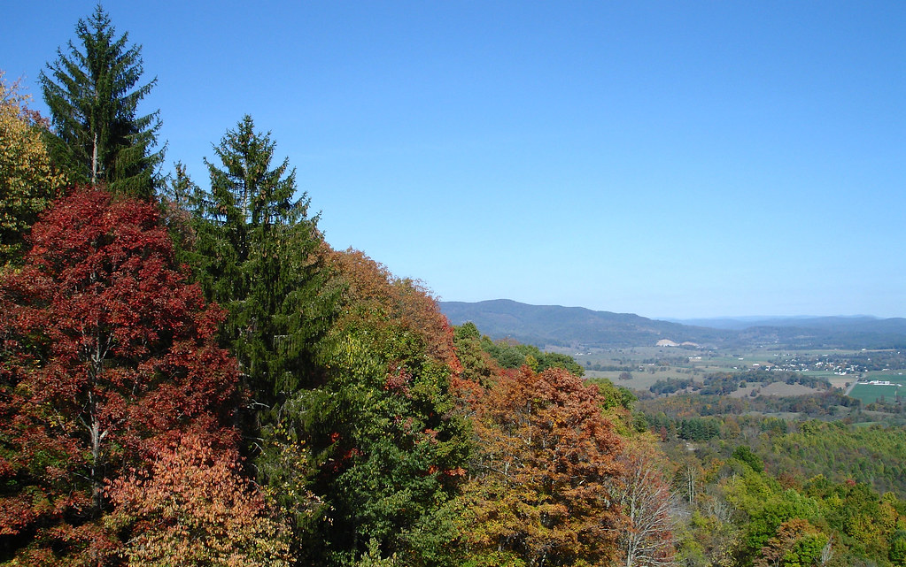
TrackHead Studios - Droop Mnt Battlefield - Fall View

Blue Bend

Blue Bend
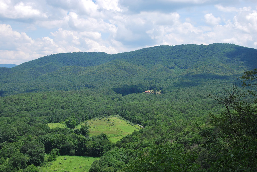
Blue Bend

Blue Bend

Snake Rock Sunrise
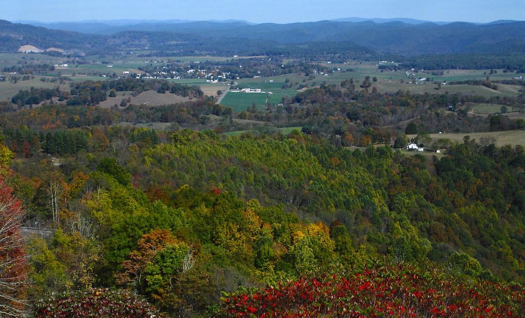
TrackHead Studios - Droop Mnt Battlefield far below
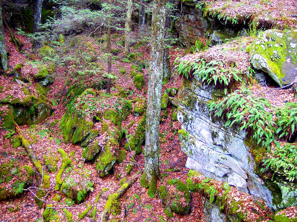
Beartown State Park, West Virginia
Bear Town State Park WV

IMAGE_81DB6992-EBE5-4929-ACAF-C99A412C879D.JPG
All It Needs Is A Bear
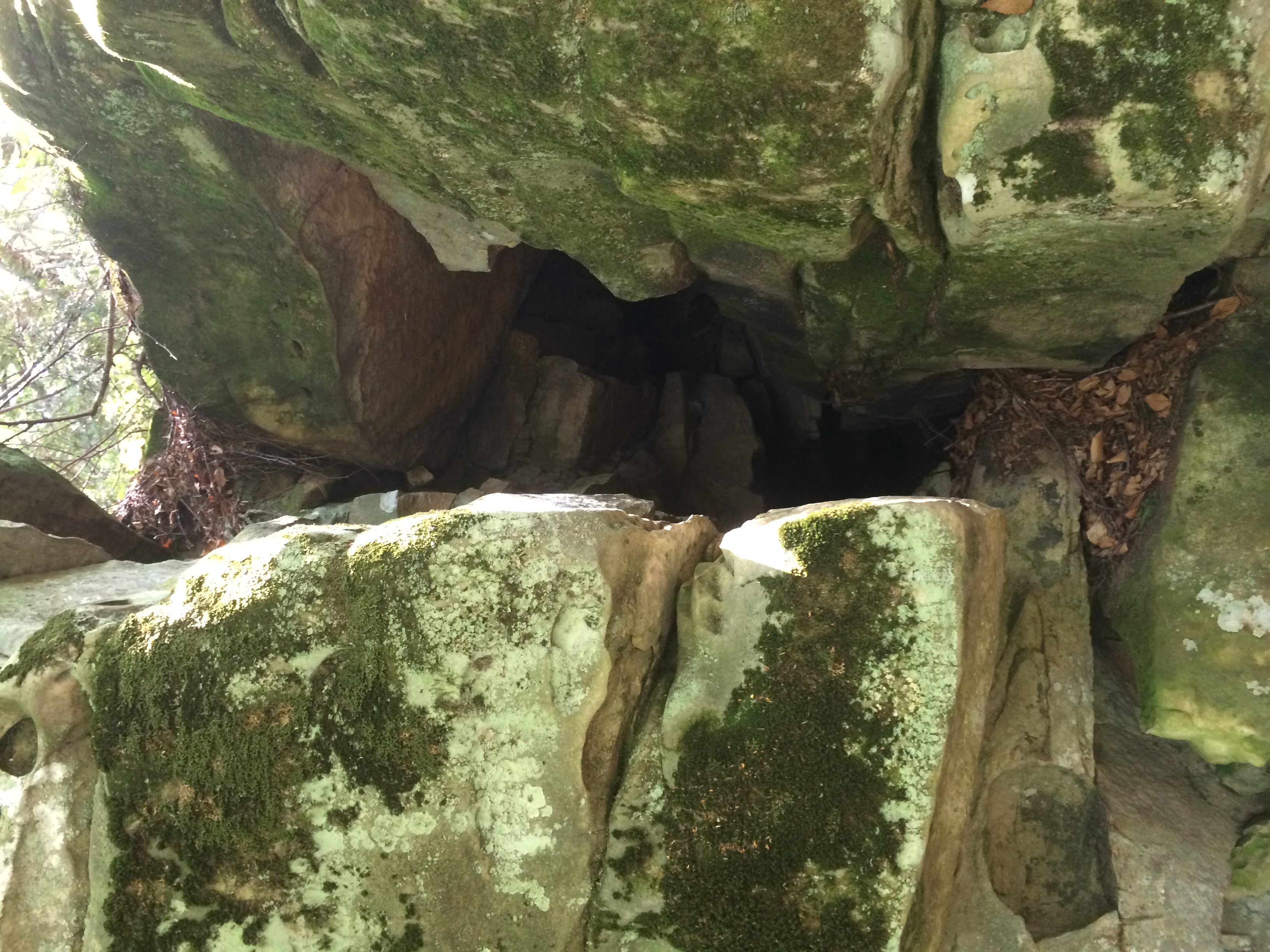
Between A Rock And A Hard place

Beartown State Park WV - 2013-10-01 (69)

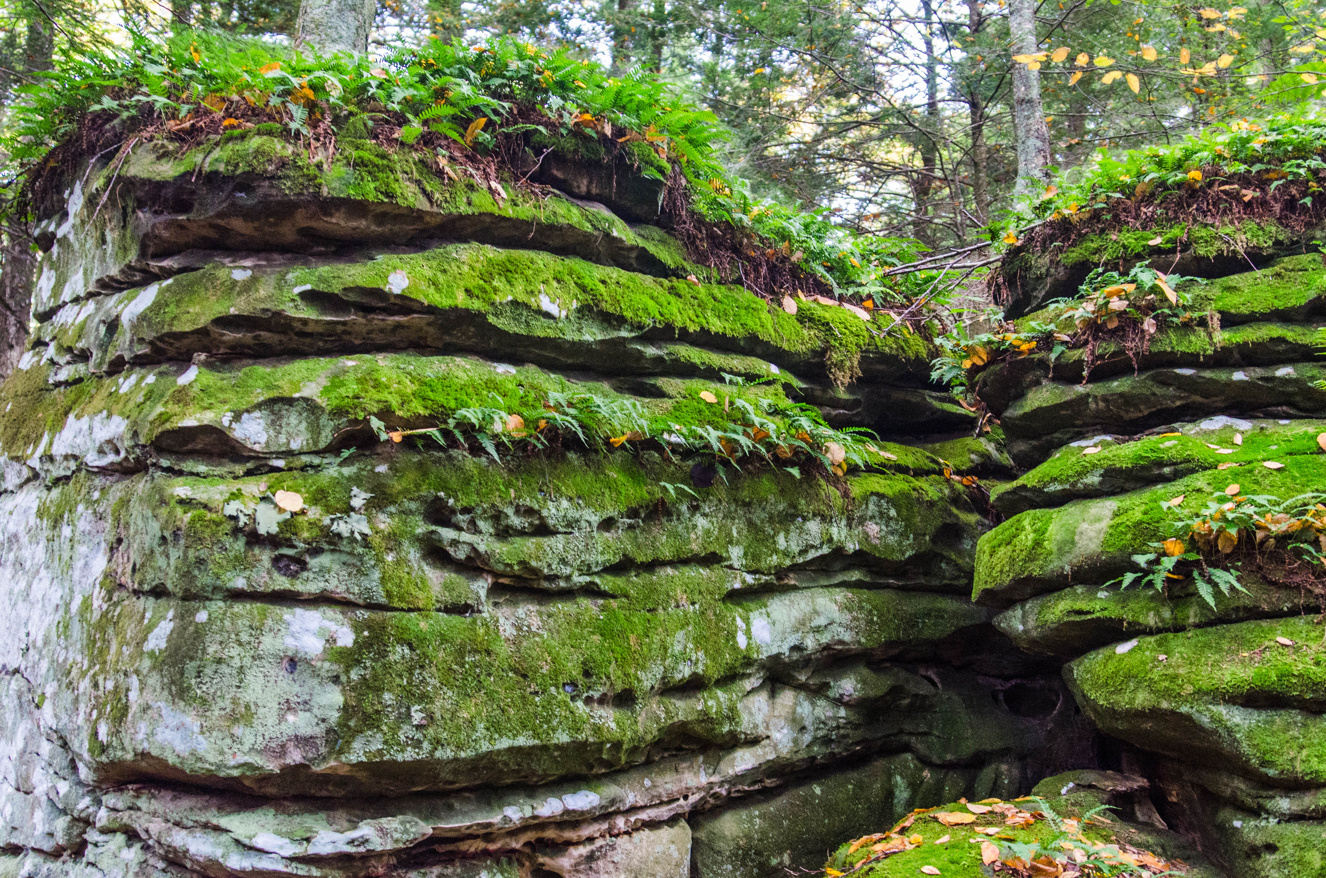
Rock Formations Image 2 5-23-2004 Photo
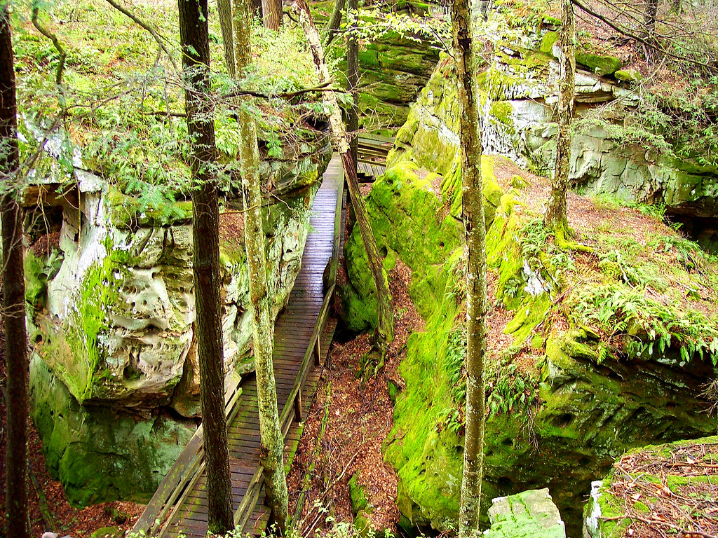
Looking Down on Beartown
Rough Landscape
Blue Bend
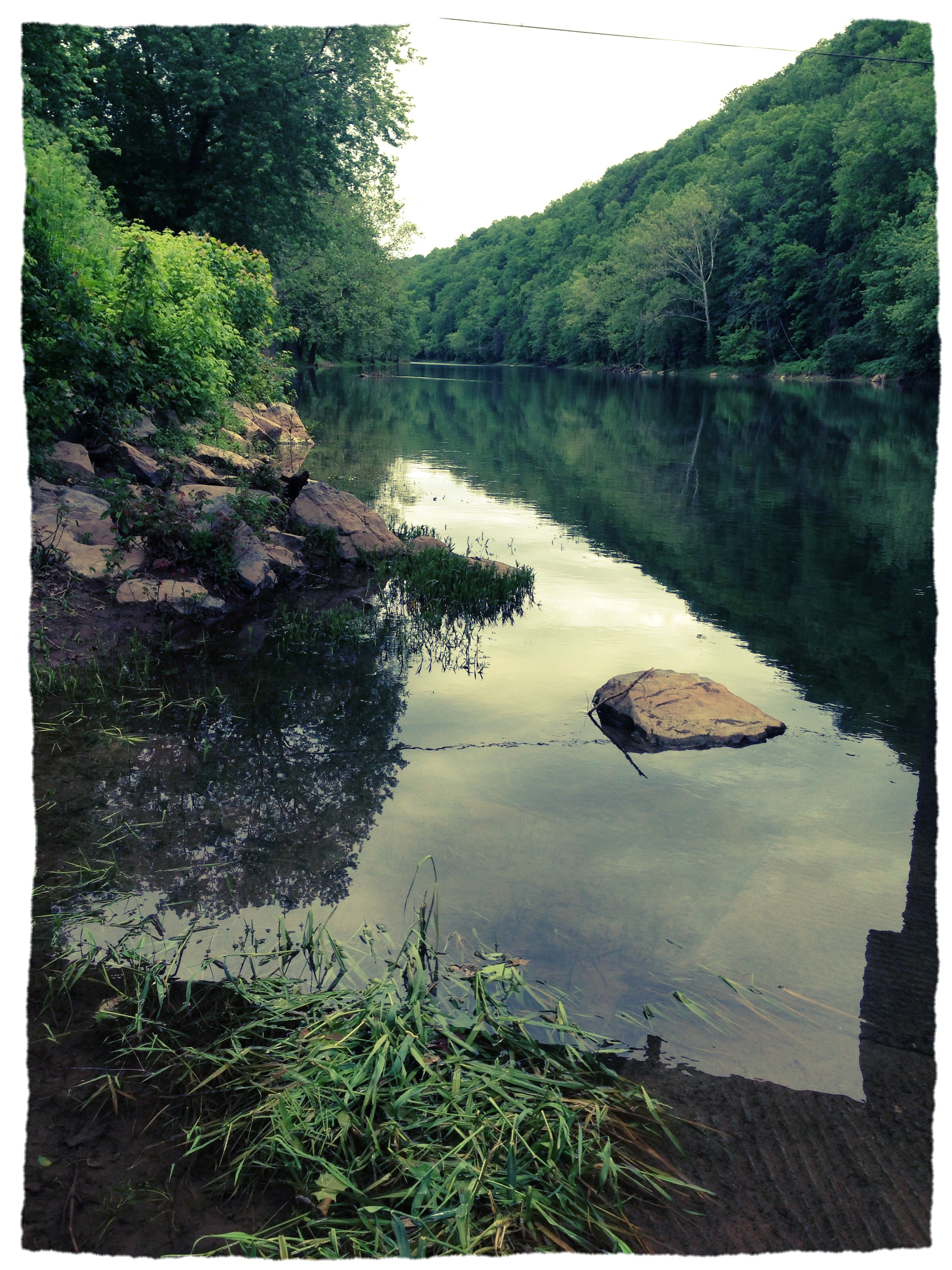
Greenbrier River at Anthony, WV

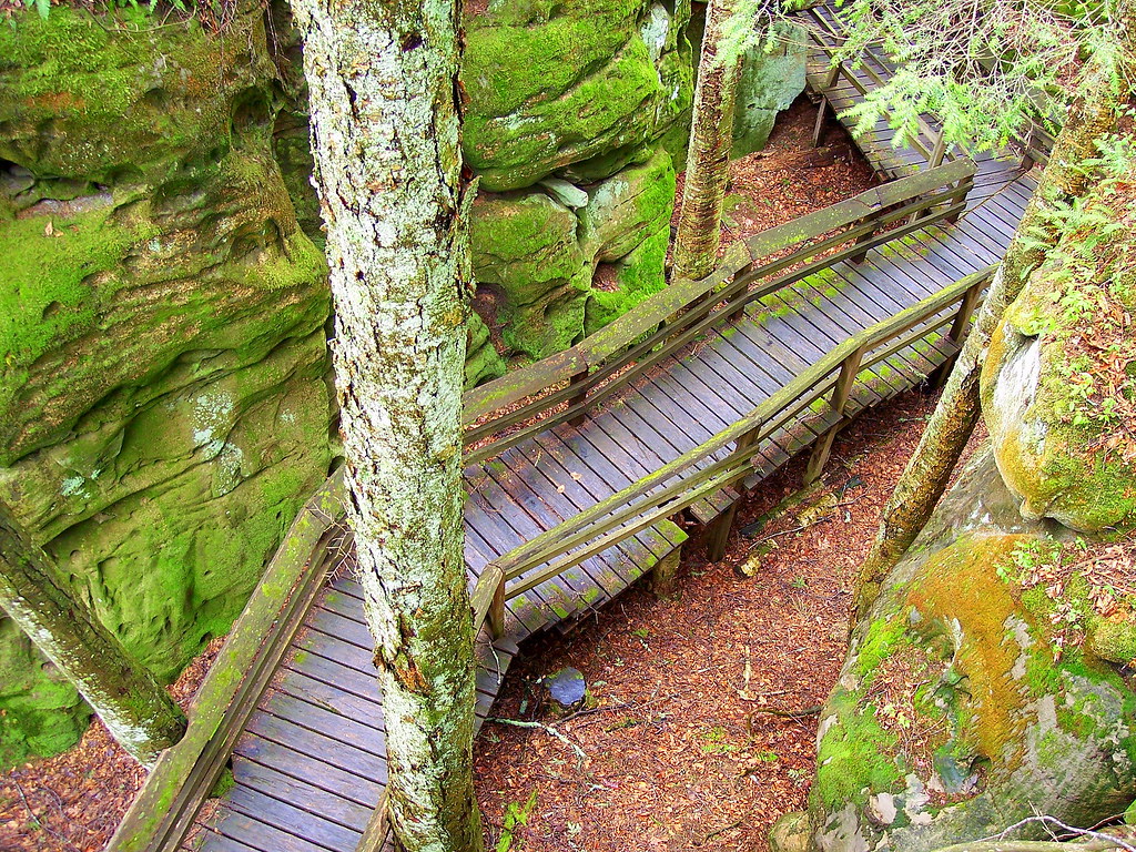
Beartown State Park WV - 2013-10-01 (88)

Anthony Creek, Monongahela NF, West Virgina

Anthony Creek, Monongahela NF, West Virgina
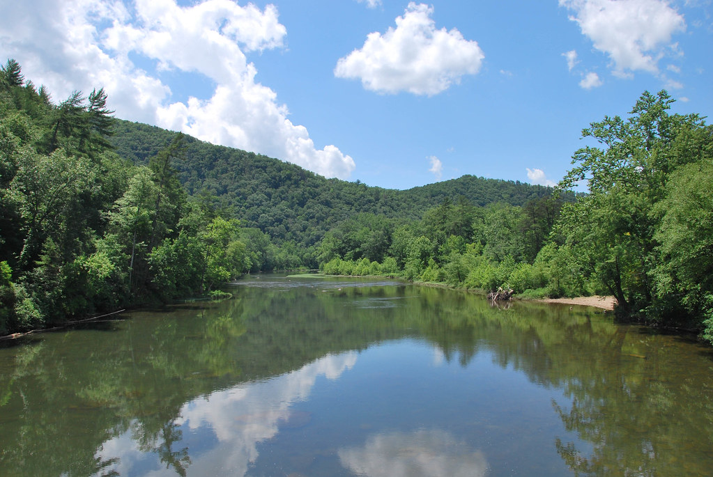
Greenbrier River at Anthony, WV
Greenbrier river trail

Greenbrier River, looking north

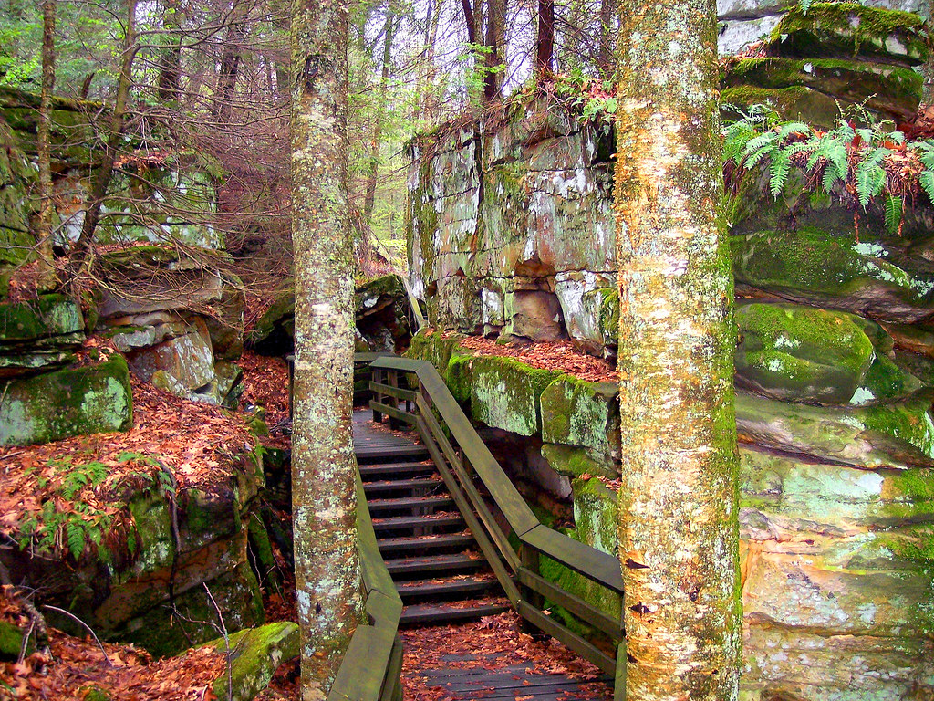
Beartown State Park WV - 2013-10-01 (3)
Topographic Map of Eastern, WV, USA
Find elevation by address:

Places in Eastern, WV, USA:
Places near Eastern, WV, USA:
10509 Pocahontas Trail
270 Georgeanna Dr
Auto
Pocahontas Trail
Vago Rd, Frankford, WV, USA
Keister
408 Jerrys Run Rd
Frankford
Vago Rd, Frankford, WV, USA
942 Sherwood Lake Rd
Jerrys' Runs Road
WHT SPHR SPGS, WV, USA
White Sulphur Springs
1562 Village Run Rd
Harper Rd, Lewisburg, WV, USA
473 Mclaughlin Rd
Benedict Lane
Maxwelton
319 Broken Star Acres Rd
123 Chestnut Flats Rd
Recent Searches:
- Elevation of Corso Fratelli Cairoli, 35, Macerata MC, Italy
- Elevation of Tallevast Rd, Sarasota, FL, USA
- Elevation of 4th St E, Sonoma, CA, USA
- Elevation of Black Hollow Rd, Pennsdale, PA, USA
- Elevation of Oakland Ave, Williamsport, PA, USA
- Elevation of Pedrógão Grande, Portugal
- Elevation of Klee Dr, Martinsburg, WV, USA
- Elevation of Via Roma, Pieranica CR, Italy
- Elevation of Tavkvetili Mountain, Georgia
- Elevation of Hartfords Bluff Cir, Mt Pleasant, SC, USA