Elevation of Neola, WV, USA
Location: United States > West Virginia > Greenbrier County > Eastern >
Longitude: -80.130065
Latitude: 37.9659558
Elevation: 621m / 2037feet
Barometric Pressure: 94KPa
Elevation Map:
Satellite Map:
Related Photos:
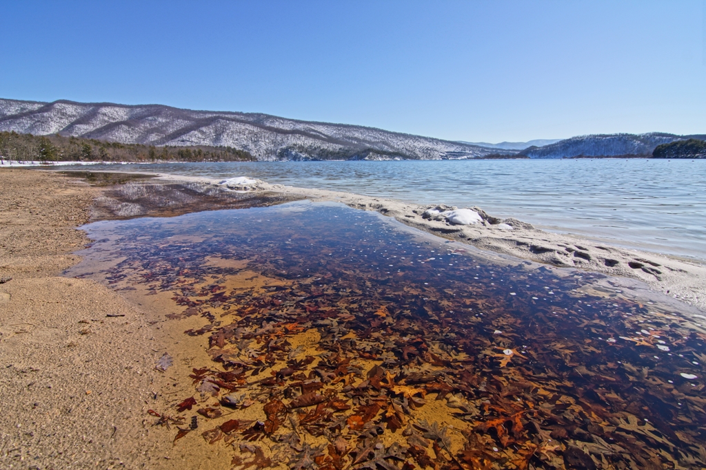
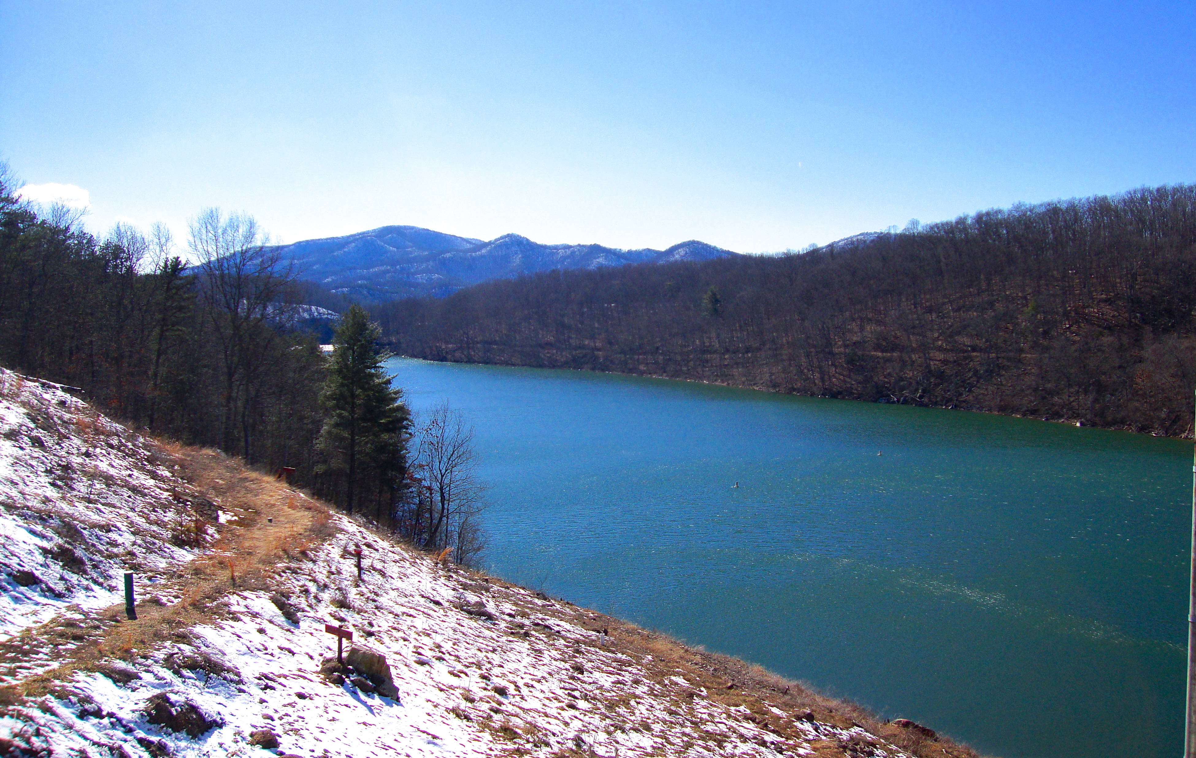
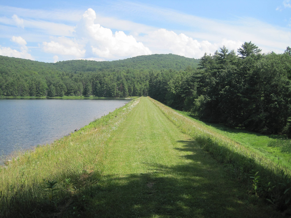
Lake Moomaw - Snow. Ice. Water.

Blue Bend

Blue Bend
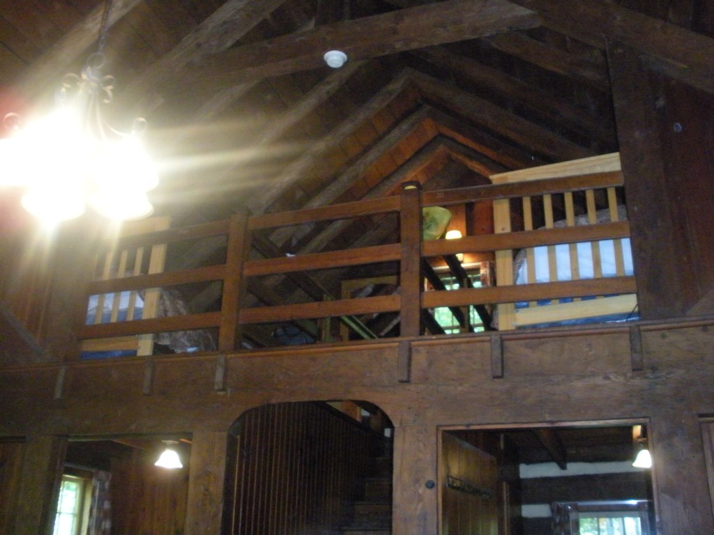
Loft, Watoga Cabin #7 (2237)
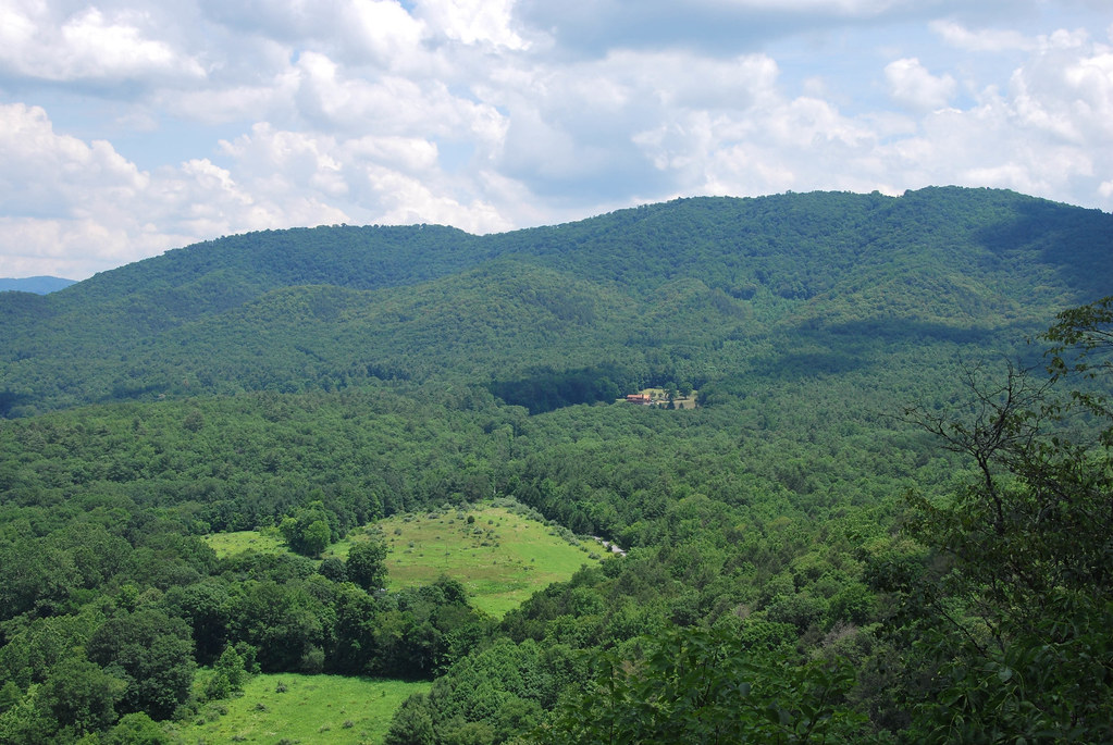
Blue Bend

Blue Bend

Snake Rock Sunrise
Lake Sherwood Image 1 1-13-2006 Photo

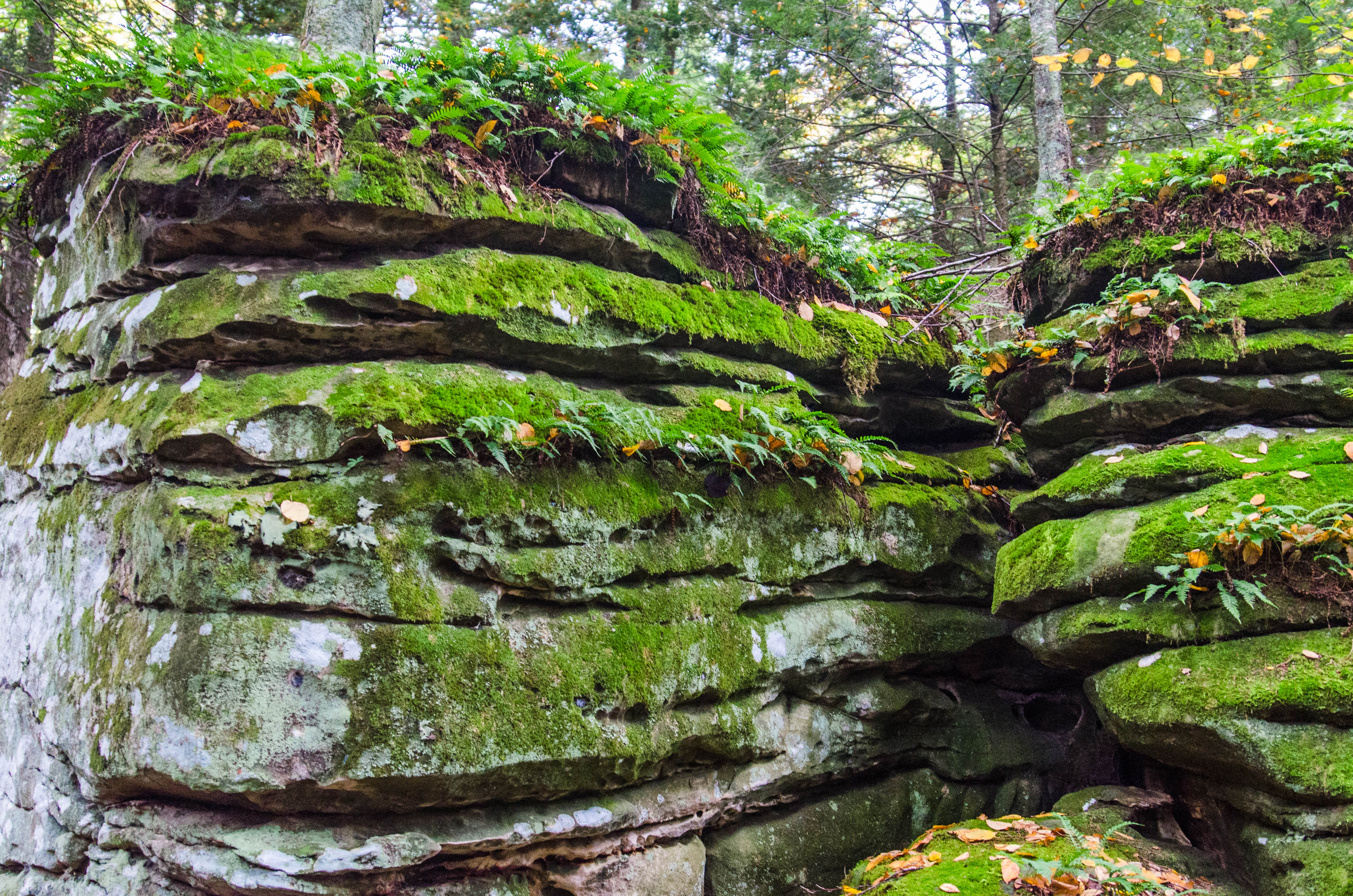
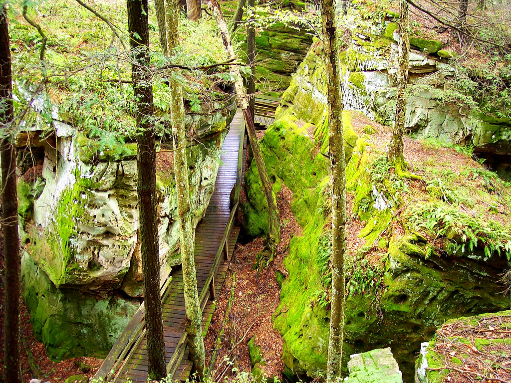
Rock Formations Image 2 5-23-2004 Photo
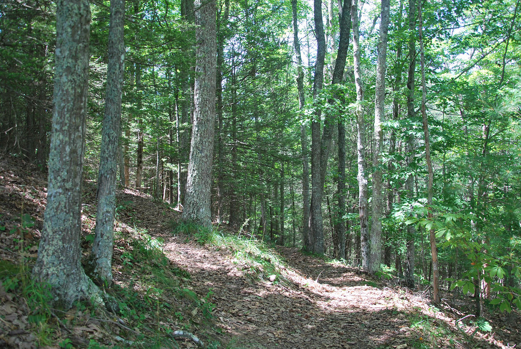
Blue Bend
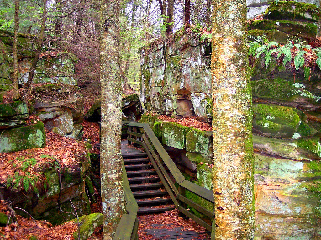
Beartown State Park, West Virginia
Bear Town State Park WV
Bear Town State Park WV
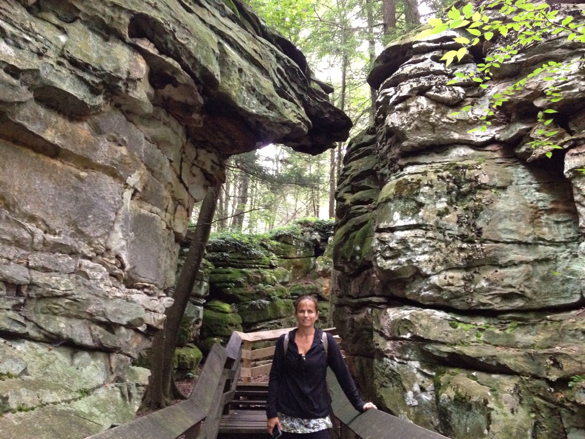
IMAGE_81DB6992-EBE5-4929-ACAF-C99A412C879D.JPG

Anthony Creek, Monongahela NF, West Virgina

Anthony Creek, Monongahela NF, West Virgina
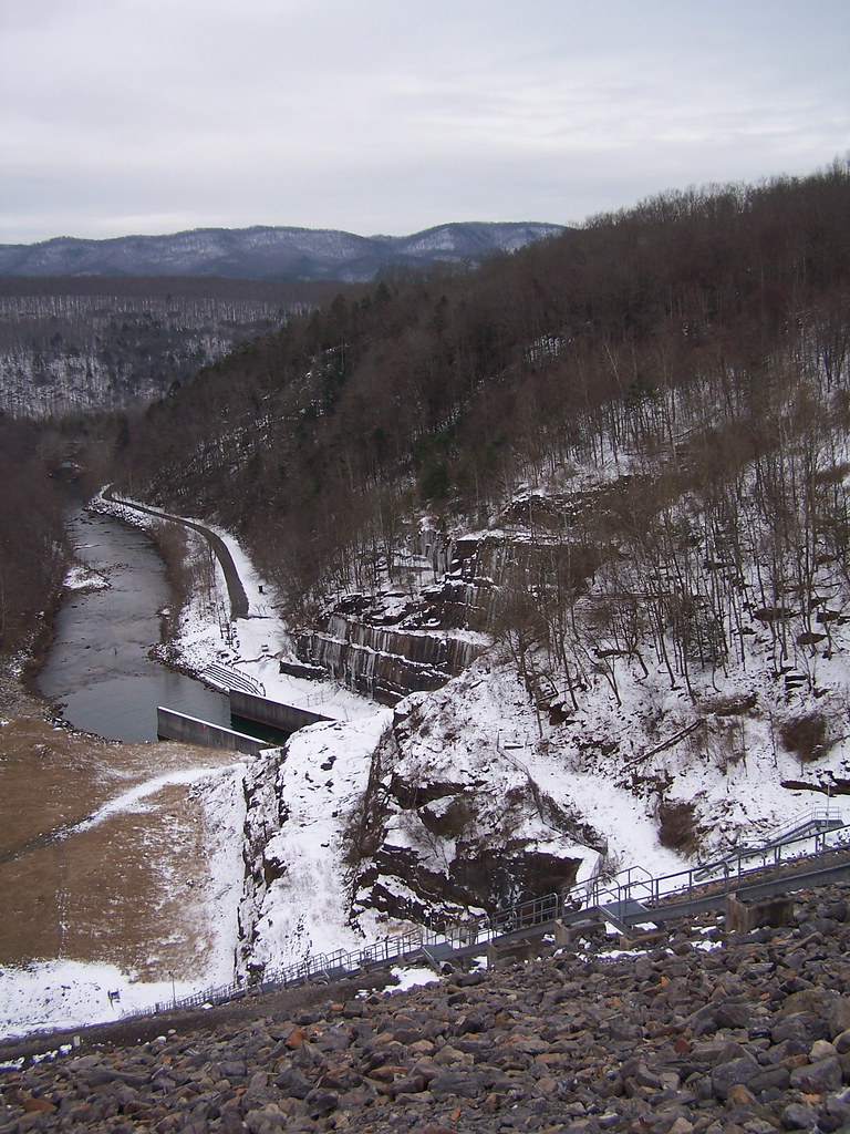
2013.03.08.03 Lake Moomaw
sun and trees
All It Needs Is A Bear
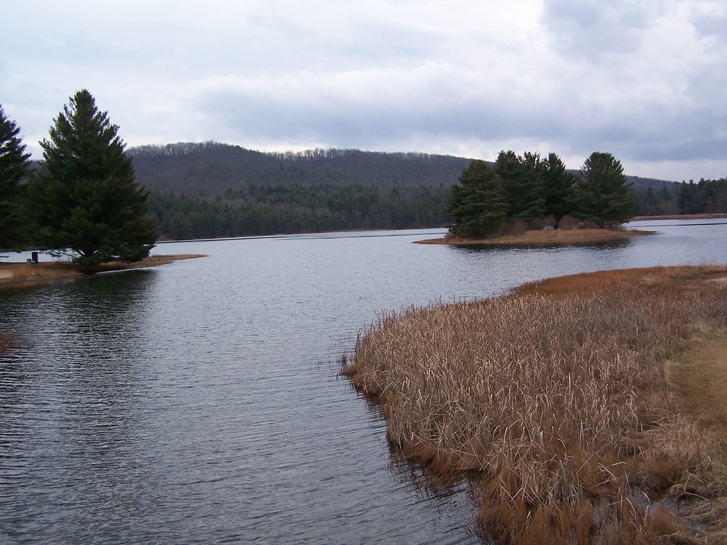
Lake Sherwood

Jackson River
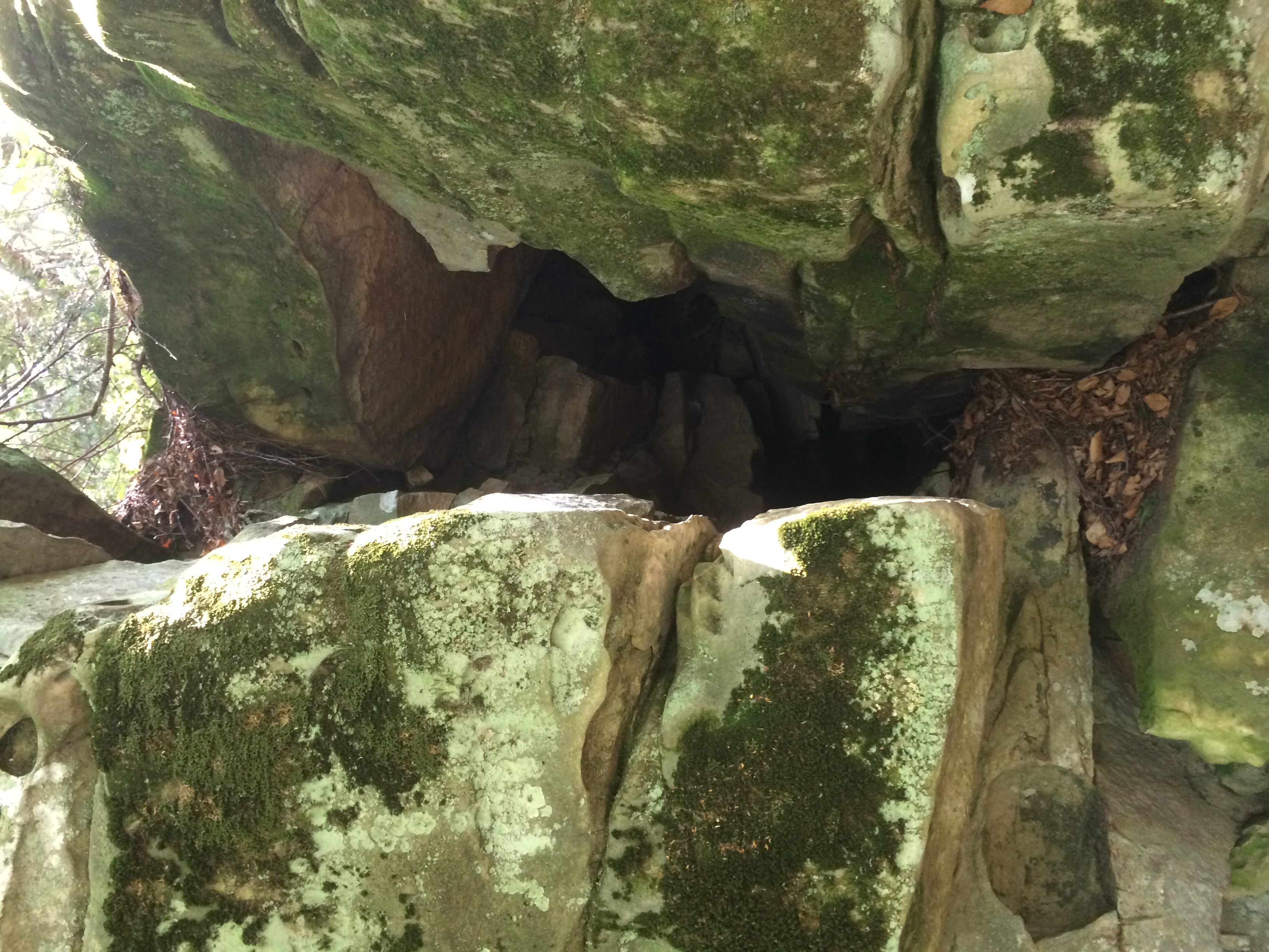
Between A Rock And A Hard place
Jackson River Downstream Image 2 1-26-2008 Photo

Beartown State Park WV - 2013-10-01 (3)

Beartown State Park WV - 2013-10-01 (69)
Topographic Map of Neola, WV, USA
Find elevation by address:

Places near Neola, WV, USA:
Anthony Correctional Center
7202 Johnson Creek Rd
7202 Johnson Creek Rd
Ogle Creek Road
Falling Spring
Alleghany County
4625 Midland Trail
217 Wade Dr
200 Wil-dan Ln
105 Waller Ave
Boys Home Road
105 River Rd N
Hot Springs Rd, Covington, VA, USA
Falling Spring Falls
N Alleghany Ave, Covington, VA, USA
Main St. - Covington
Covington
1766 Sam Snead Hwy
Tinkertown
417 Airport Dr
Recent Searches:
- Elevation of Kreuzburger Weg 13, Düsseldorf, Germany
- Elevation of Gateway Blvd SE, Canton, OH, USA
- Elevation of East W.T. Harris Boulevard, E W.T. Harris Blvd, Charlotte, NC, USA
- Elevation of West Sugar Creek, Charlotte, NC, USA
- Elevation of Wayland, NY, USA
- Elevation of Steadfast Ct, Daphne, AL, USA
- Elevation of Lagasgasan, X+CQH, Tiaong, Quezon, Philippines
- Elevation of Rojo Ct, Atascadero, CA, USA
- Elevation of Flagstaff Drive, Flagstaff Dr, North Carolina, USA
- Elevation of Avery Ln, Lakeland, FL, USA