Elevation of Grassy Meadows, WV, USA
Location: United States > West Virginia > Greenbrier County > Western >
Longitude: -80.720918
Latitude: 37.8267857
Elevation: 748m / 2454feet
Barometric Pressure: 93KPa
Elevation Map:
Satellite Map:
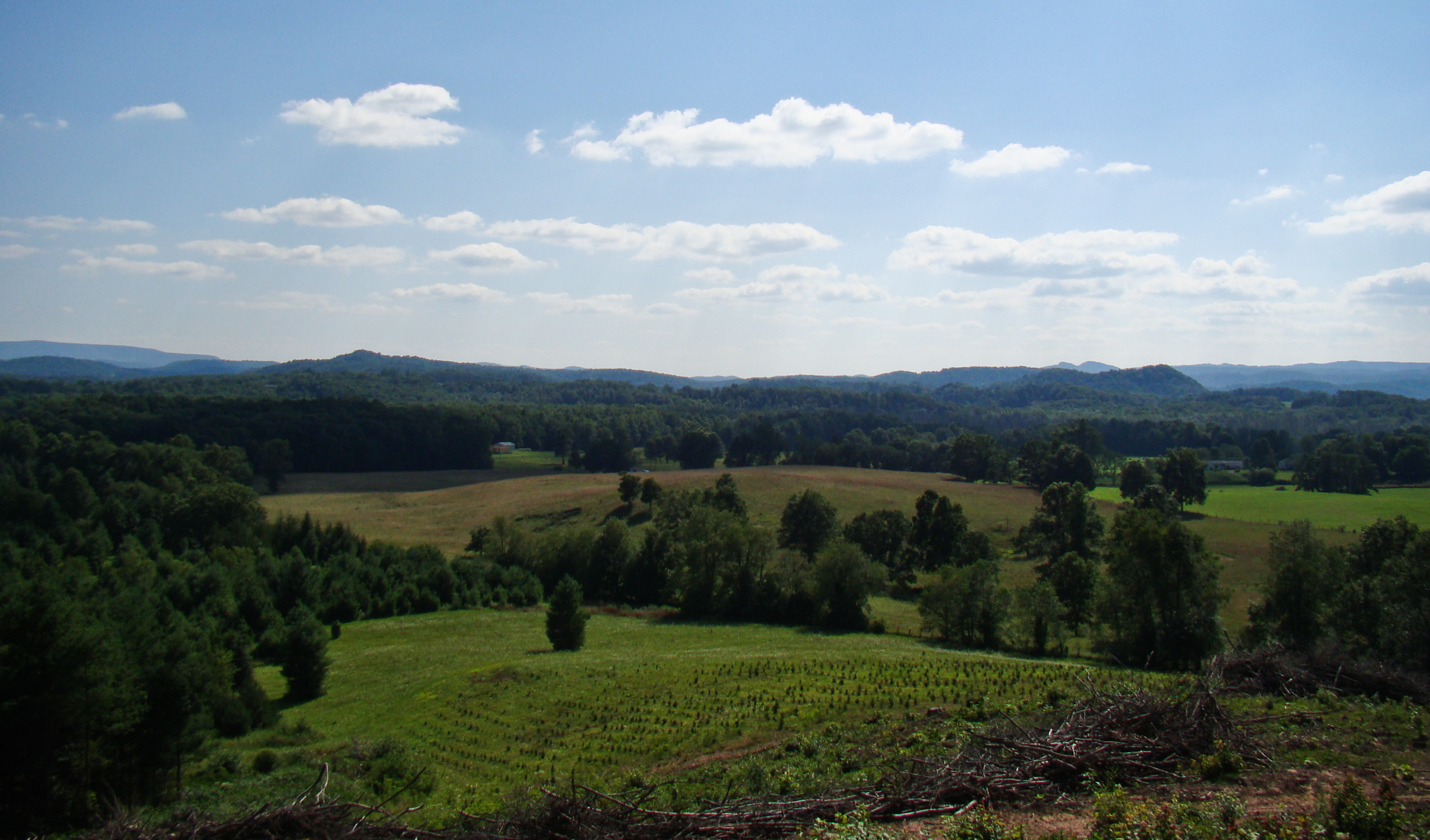
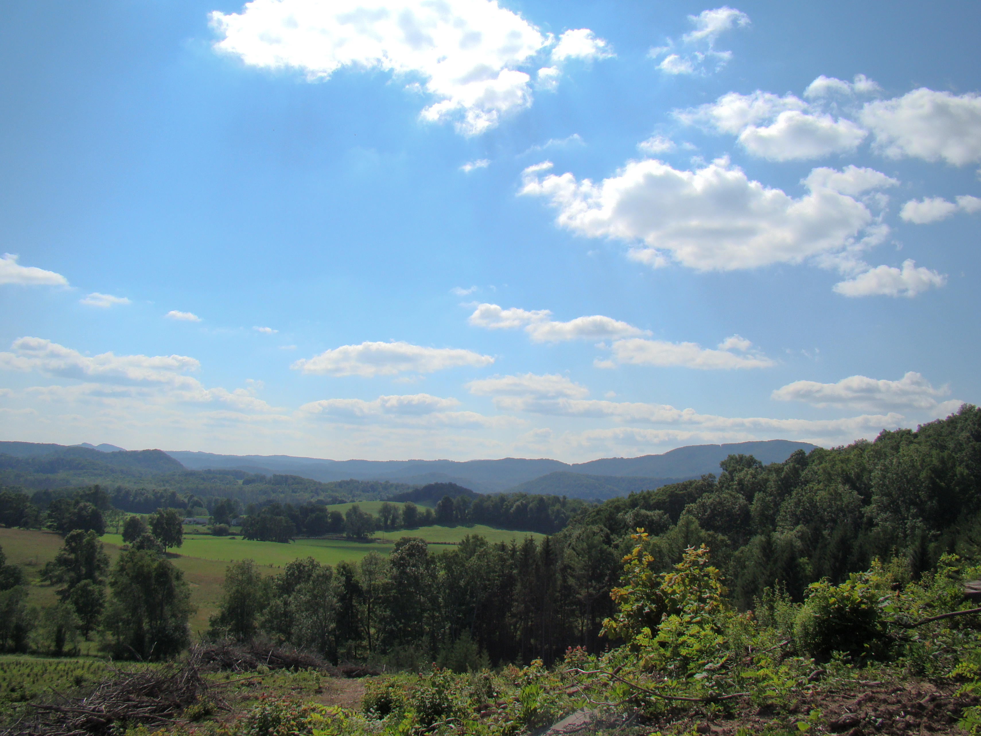
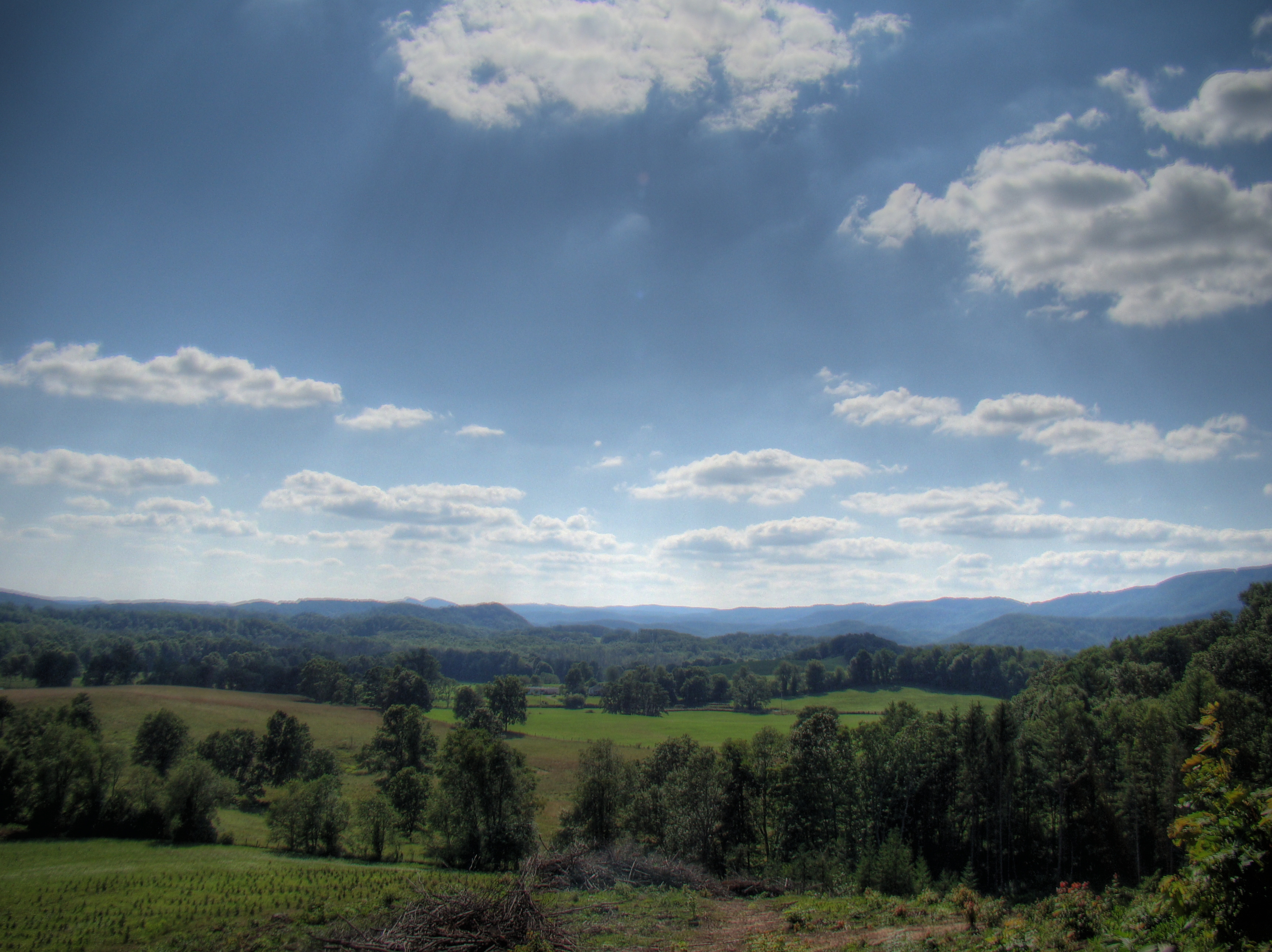
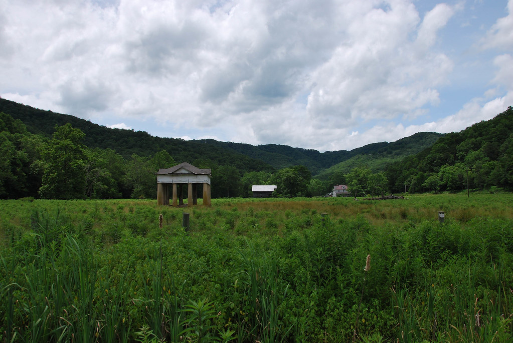
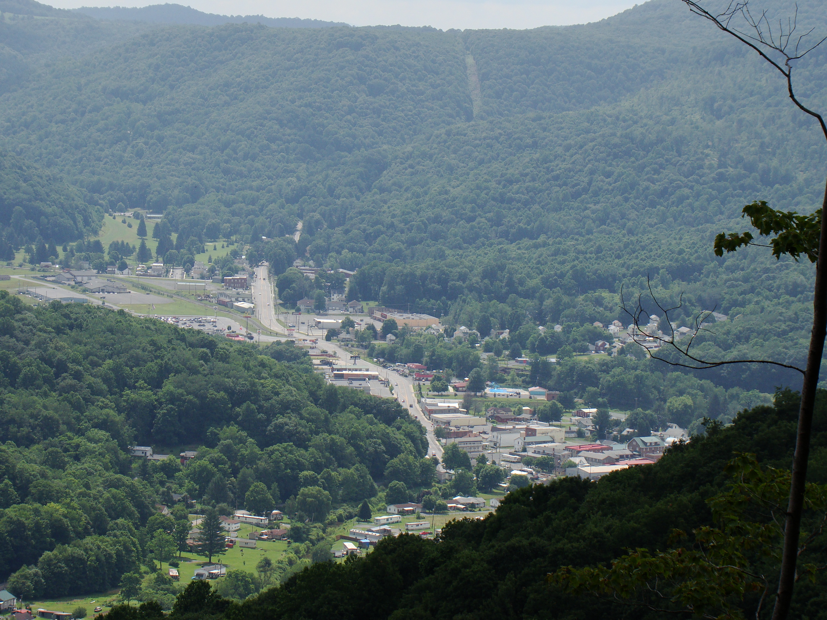
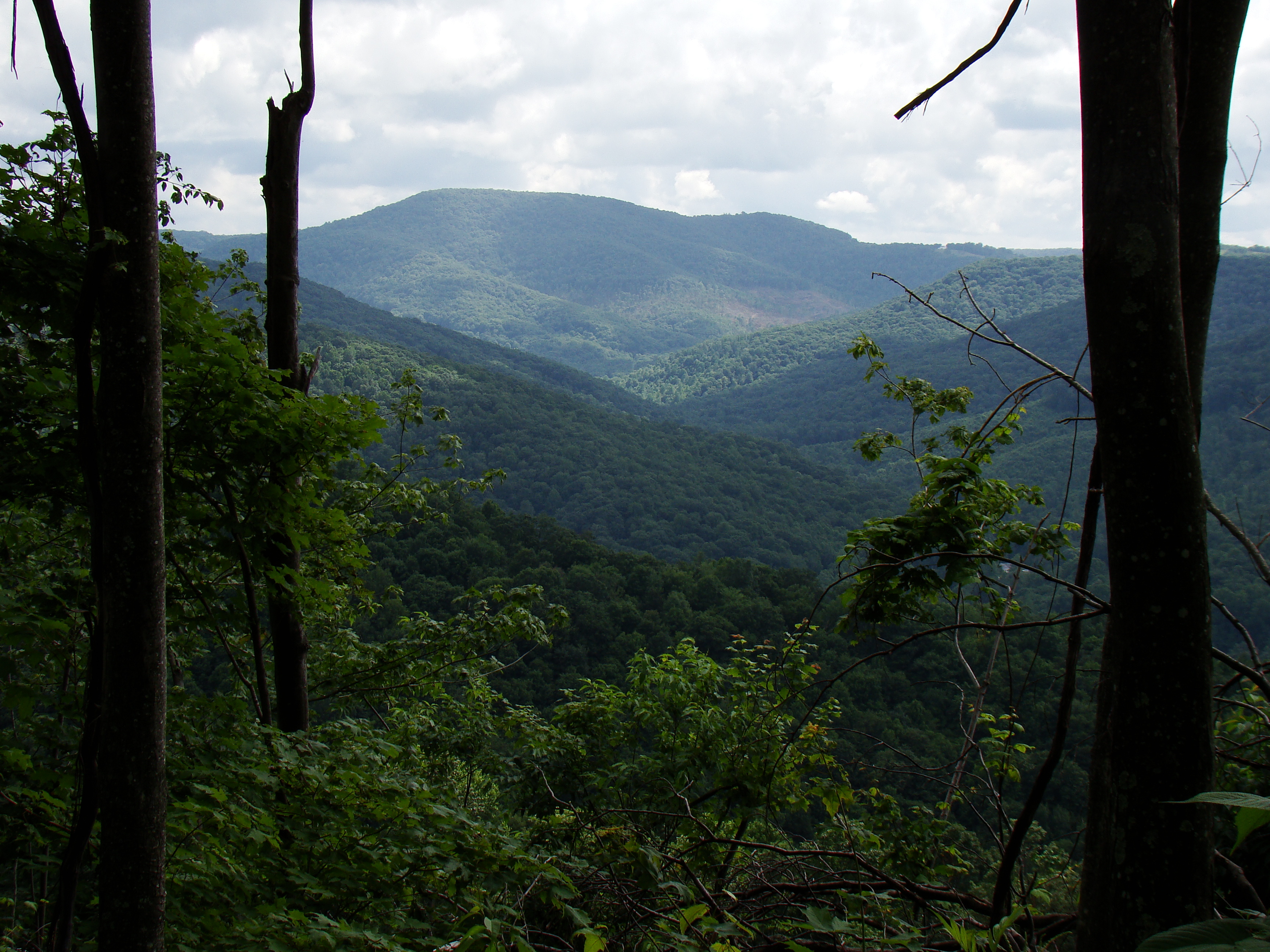
Related Photos:
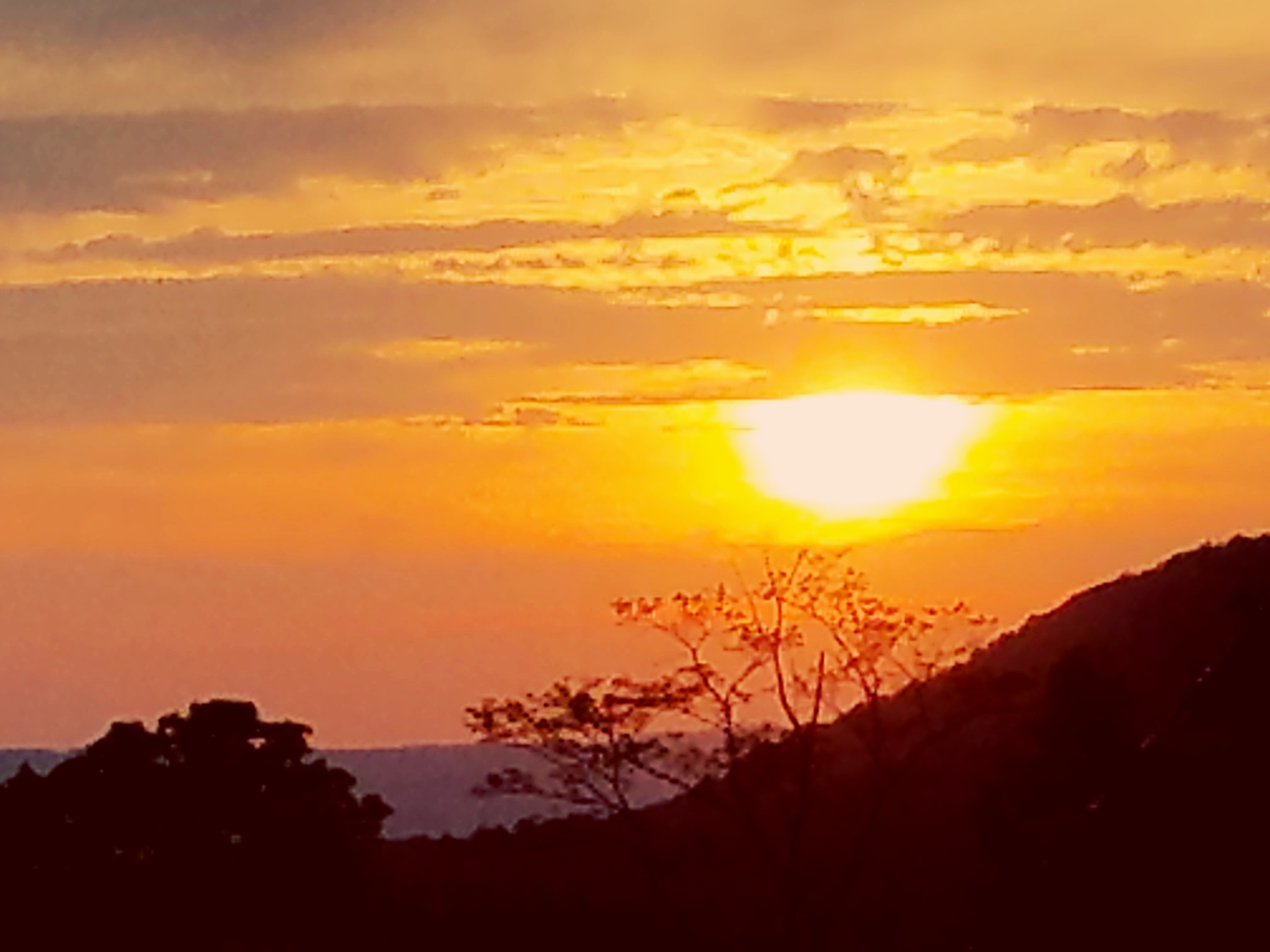
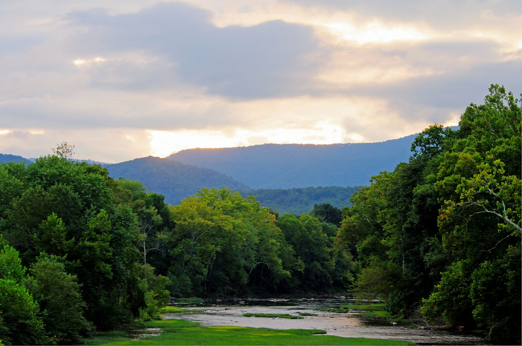
Beyond the Sunset

View from Alderson (WV) Cemetery
View from Alderson Cemetery (WV)
View from Alderson (WV) Cemetery
Alderson station
Alderson Cemetery (WV)
Alderson WV Women's Reformatory

Mail Pouch Tobacco Sign -- Greenbrier County, West Virginia (#2)
Crawley Bend #2
Crawley Bend #3
The Sun is setting on a winter day in the Greenbrier Valley
Crawley Bend #1
Journey's End

Alderson WV
Pence Springs
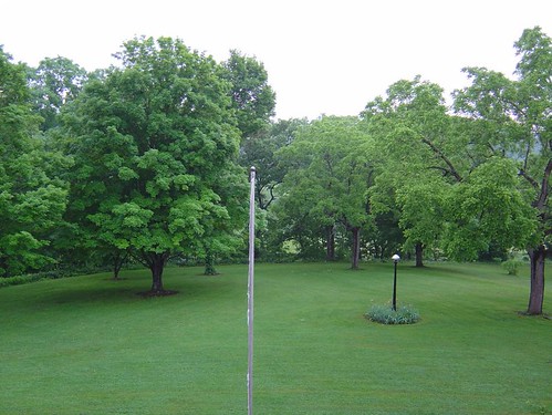
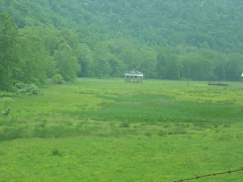
The Grounds
Beautiful winter
Sunset from Summers County WV--Sourwood Mtn
Summer Falls
The Greenbrier River in Alderson, WV

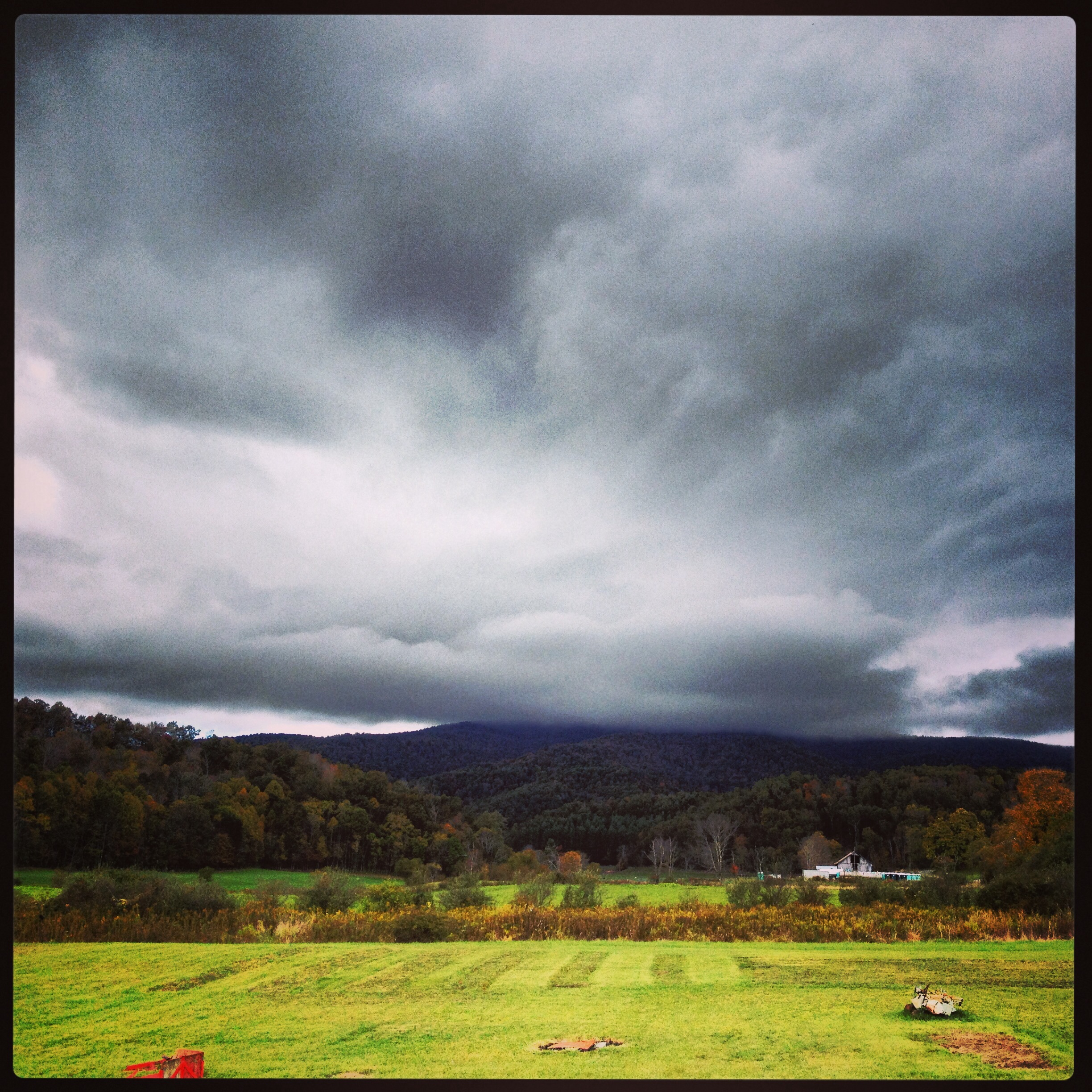
Greenbrier County Barn
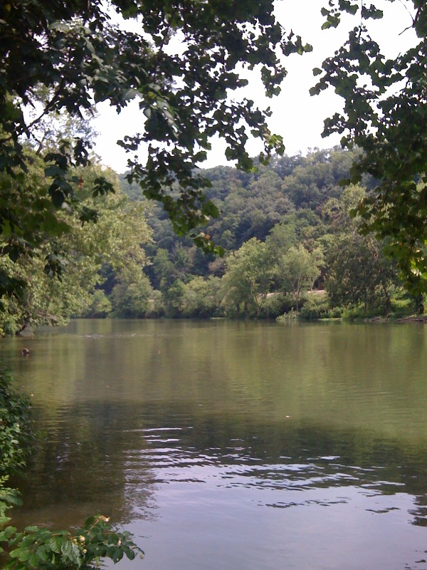
greenbrier river
Blue Sulphur Springs from a distance
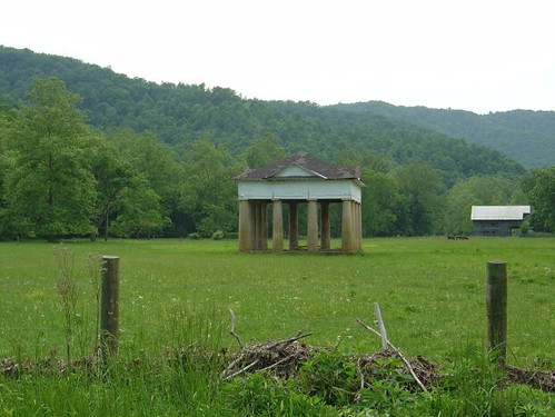
Blue Sulphur Springs
Mule not included
A bend in the road
Crawley Bend HDR

Family Camp Snowshoe 2014

Rainelle #10
Blue Sulphur Springs
Rainelle #14
Rainelle #4
Topographic Map of Grassy Meadows, WV, USA
Find elevation by address:

Places in Grassy Meadows, WV, USA:
Places near Grassy Meadows, WV, USA:
Grassy Meadows Road, Grassy Meadows, WV, USA
Farmdale Rd, Western, WV, USA
Kitchen Creek Road
230 Kitchen Creek Rd
230 Kitchen Creek Rd
230 Kitchen Creek Rd
Smoot
16 Elton Lawn Rd, Green Sulphur Springs, WV, USA
Spring Dale
Meadow Bluff
Spring Dale, WV, USA
Simms Mountain Road
Sam Black Church
Battleground Circle
5053 Lockbridge Rd
Midland Trail W, Crawley, WV, USA
Crawley
West Virginia 20
Meadow Bridge
Rupert
Recent Searches:
- Elevation of Elwyn Dr, Roanoke Rapids, NC, USA
- Elevation of Congressional Dr, Stevensville, MD, USA
- Elevation of Bellview Rd, McLean, VA, USA
- Elevation of Stage Island Rd, Chatham, MA, USA
- Elevation of Shibuya Scramble Crossing, 21 Udagawacho, Shibuya City, Tokyo -, Japan
- Elevation of Jadagoniai, Kaunas District Municipality, Lithuania
- Elevation of Pagonija rock, Kranto 7-oji g. 8"N, Kaunas, Lithuania
- Elevation of Co Rd 87, Jamestown, CO, USA
- Elevation of Tenjo, Cundinamarca, Colombia
- Elevation of Côte-des-Neiges, Montreal, QC H4A 3J6, Canada