Elevation of Smokey Hills State Forest Road, Smokey Hills State Forest Rd, Osage, MN, USA
Location: United States > Minnesota > Becker County > Carsonville Township >
Longitude: -95.360396
Latitude: 46.9470369
Elevation: 486m / 1594feet
Barometric Pressure: 96KPa
Elevation Map:
Satellite Map:
Related Photos:
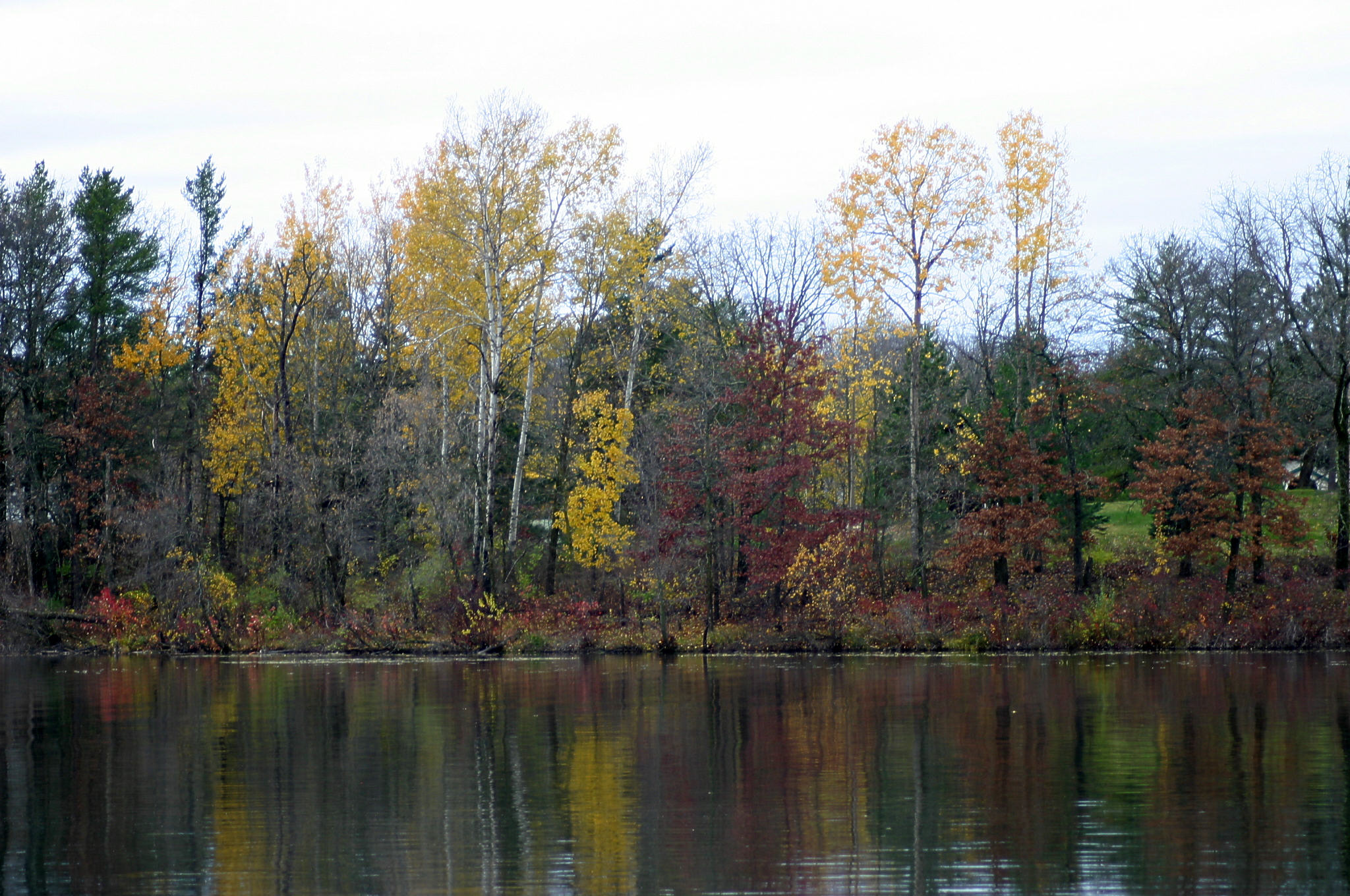
MN04
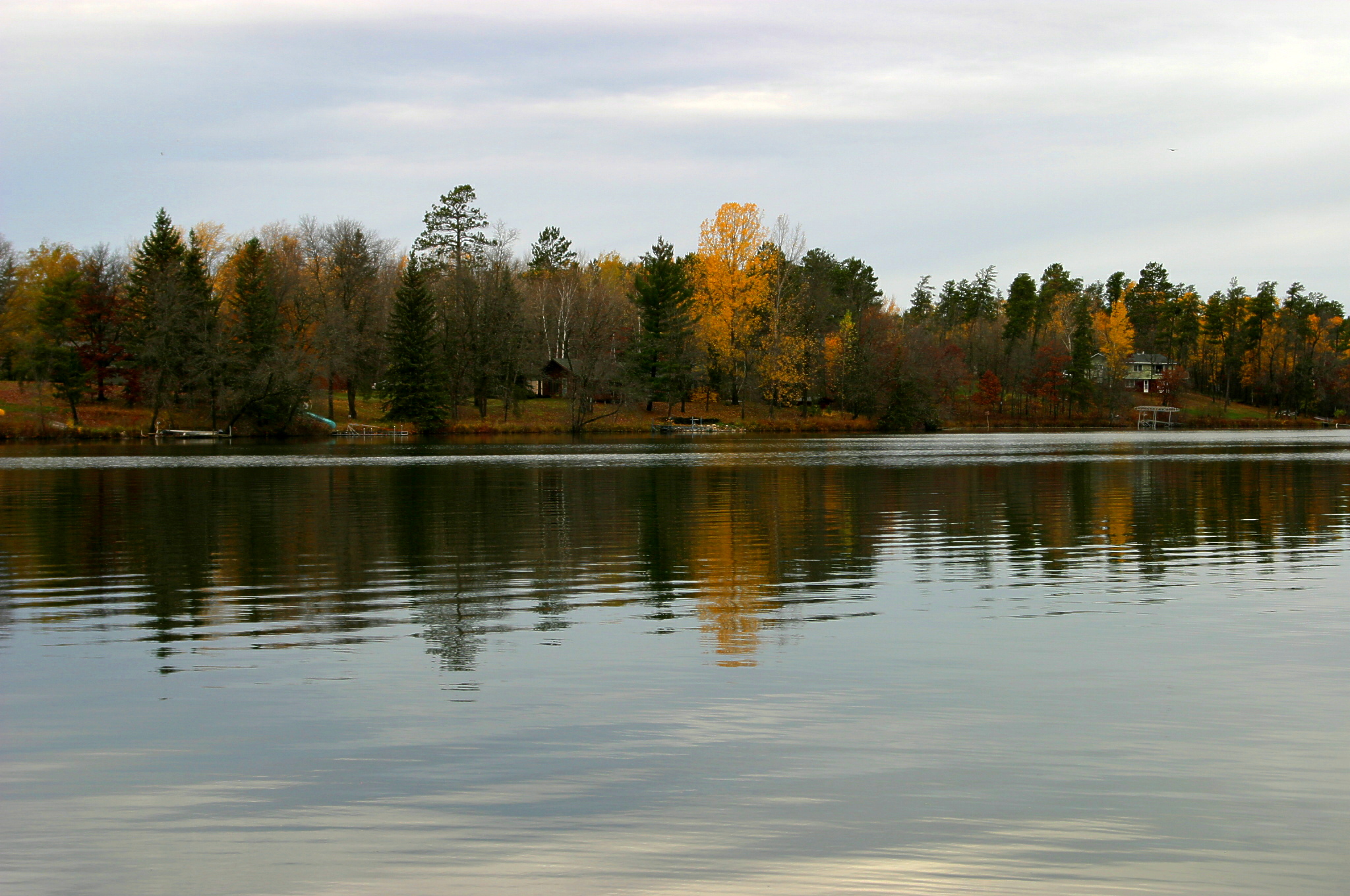
MN09
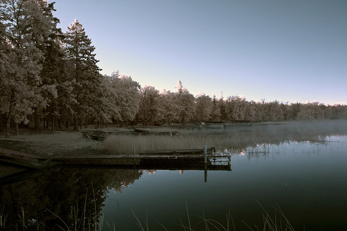
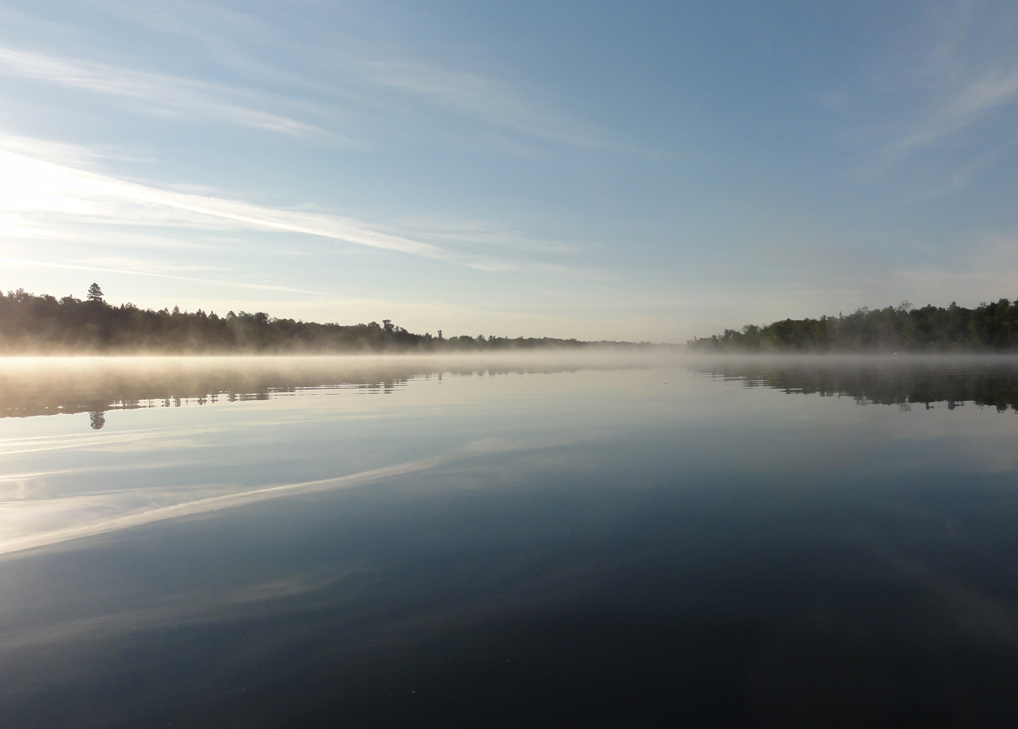
Brookside resort sunrise lake 2
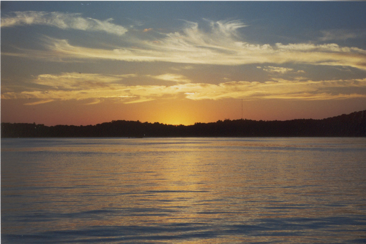
sunset 3 copy
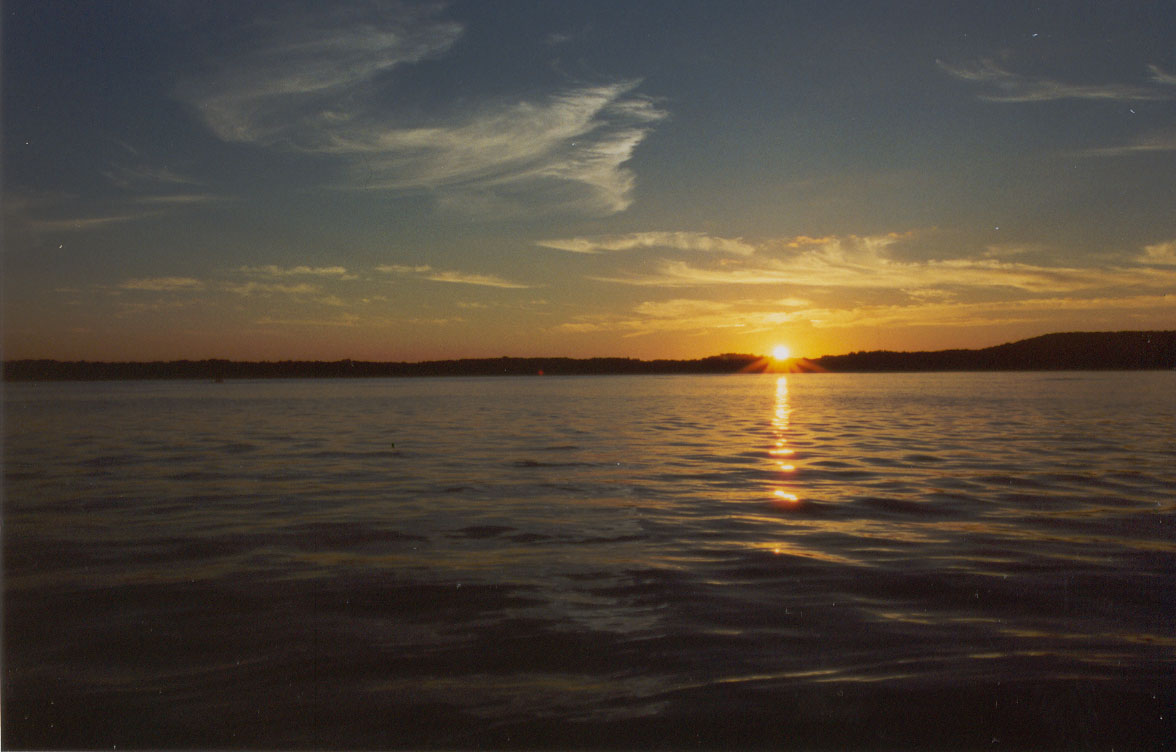
Sunset 1 copy
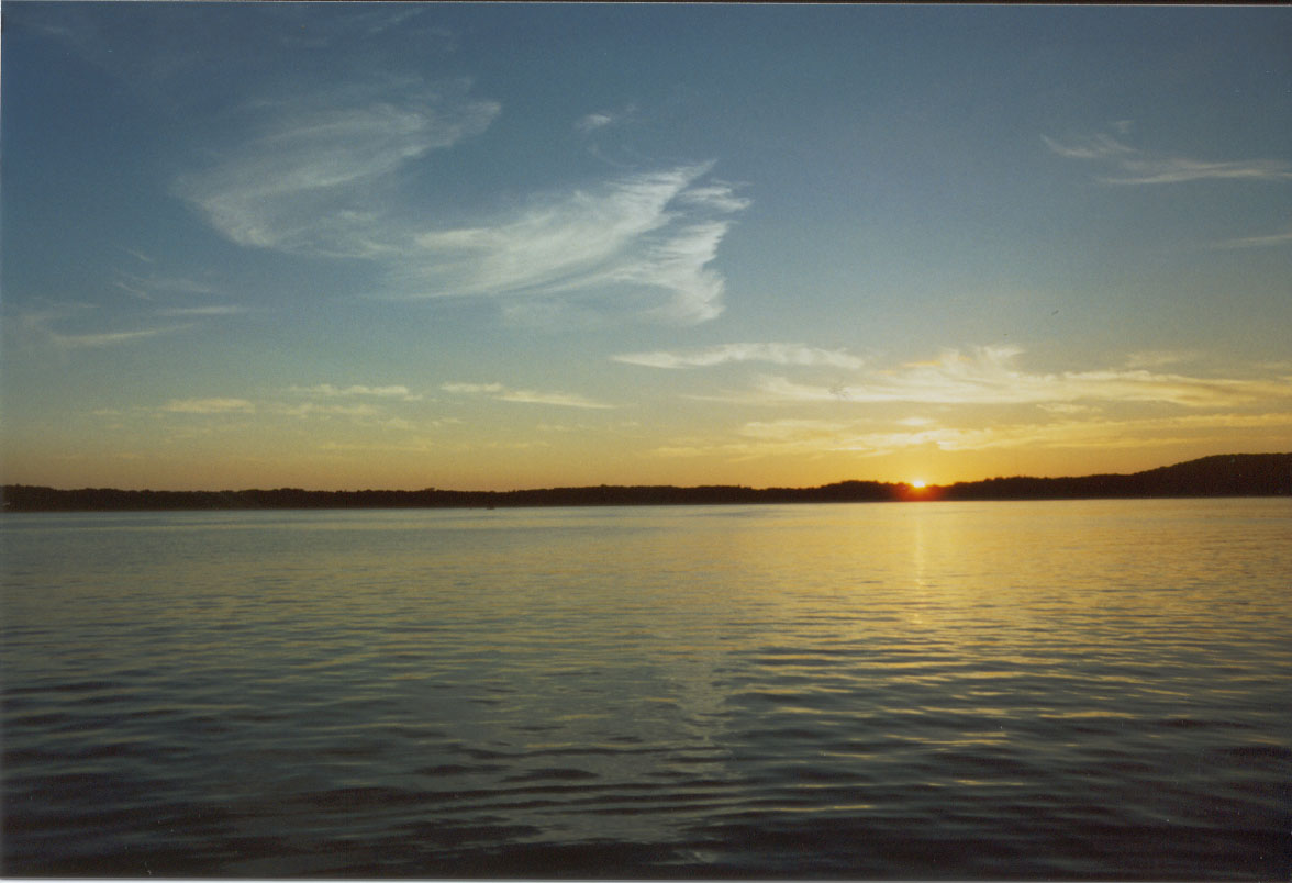
Sunset 2 copy
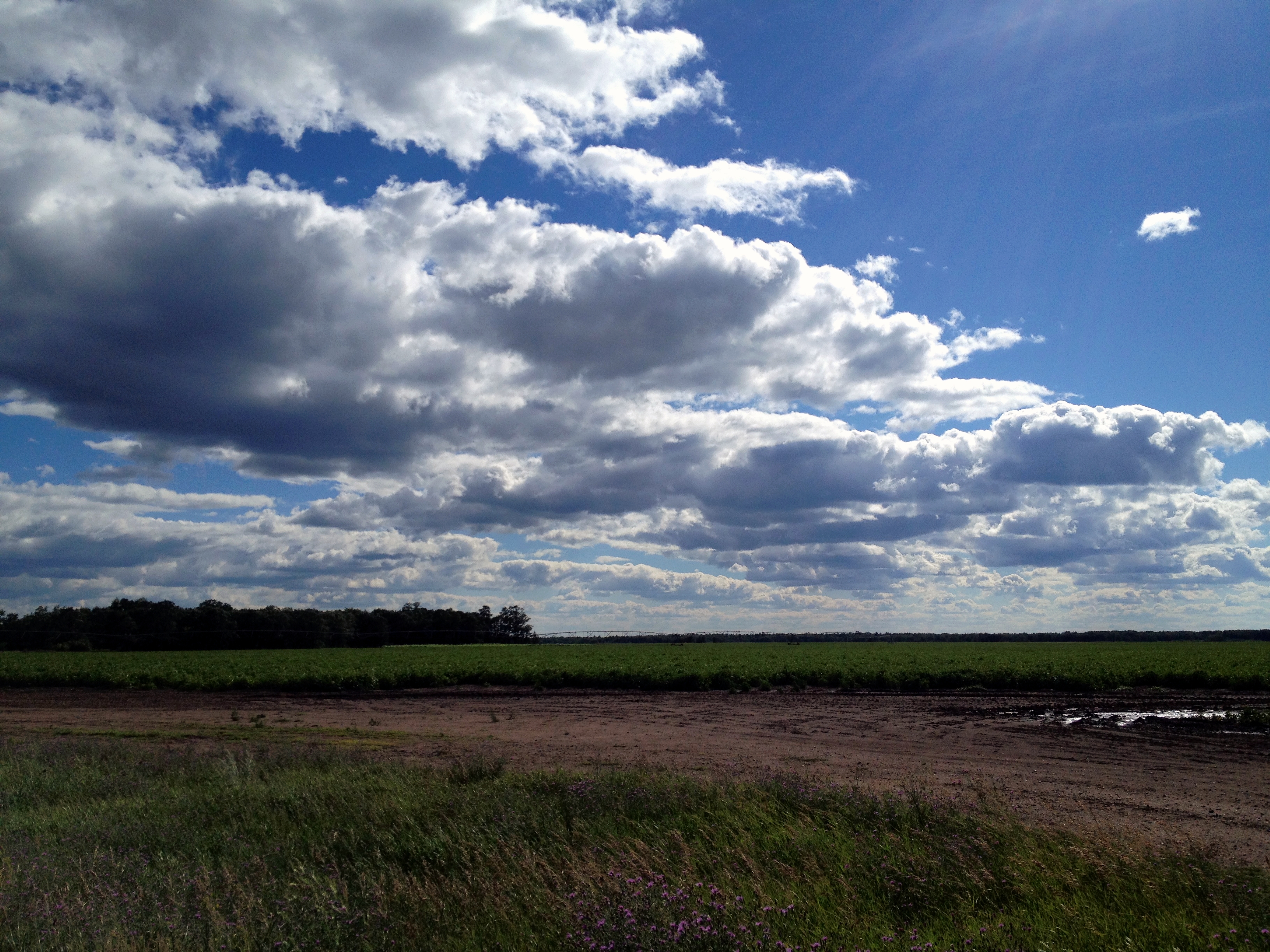
Minnesota Clouds

The final days at Island Lake.

The final days at Island Lake.
DSC04666.omi
Topographic Map of Smokey Hills State Forest Road, Smokey Hills State Forest Rd, Osage, MN, USA
Find elevation by address:

Places near Smokey Hills State Forest Road, Smokey Hills State Forest Rd, Osage, MN, USA:
Carsonville Township
Osage
MN-34, Osage, MN, USA
Osage Township
48092 150 St
Round Lake Township
41268 Co Rd 126
Spruce Grove Township
St, Menahga, MN, USA
Runeberg Township
Height Of Land Township
54759 110 St
th St, New York Mills, MN, USA
Butler Township
Elbow Lake Store Rd, Waubun, MN, USA
Elbow Lake
South Clearwater
10130 Mn-87
Straight River Township
Park Rapids
Recent Searches:
- Elevation of N Railroad Ave, West Palm Beach, FL, USA
- Elevation of 55 Cassick Valley Rd, Wellfleet, MA, USA
- Elevation of Ironwood Dr, Minden, NV, USA
- Elevation of 高尾山口駅, Takaomachi, Hachioji, Tokyo -, Japan
- Elevation of 15 Victory Ave, Greenville, SC, USA
- Elevation of Kota Ternate Utara, Ternate City, North Maluku, Indonesia
- Elevation of Allon St, Oceanside, NY, USA
- Elevation of Carroll Creek Rd, Custer, SD, USA
- Elevation of Lust Road, Lust Rd, Florida, USA
- Elevation of Pleasant Valley Rd NW, Adairsville, GA, USA