Elevation of Round Lake Township, MN, USA
Location: United States > Minnesota > Becker County >
Longitude: -95.483256
Latitude: 47.0636972
Elevation: 481m / 1578feet
Barometric Pressure: 96KPa
Elevation Map:
Satellite Map:
Related Photos:
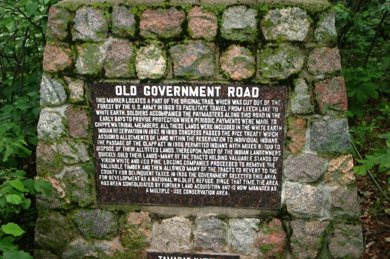
Old Government Road
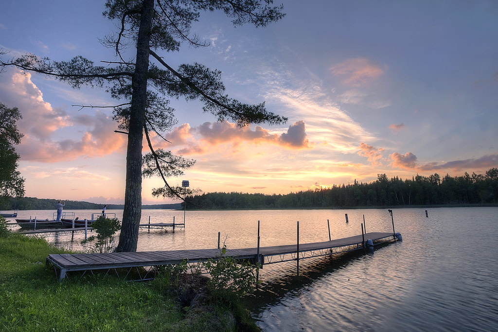
Sunset on the Lake
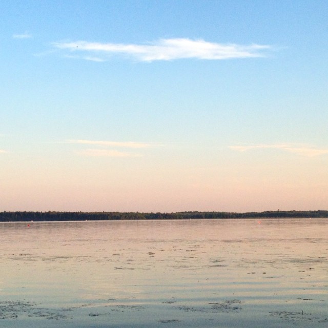
I hope those high, wispy clouds bode well for tonight's weather
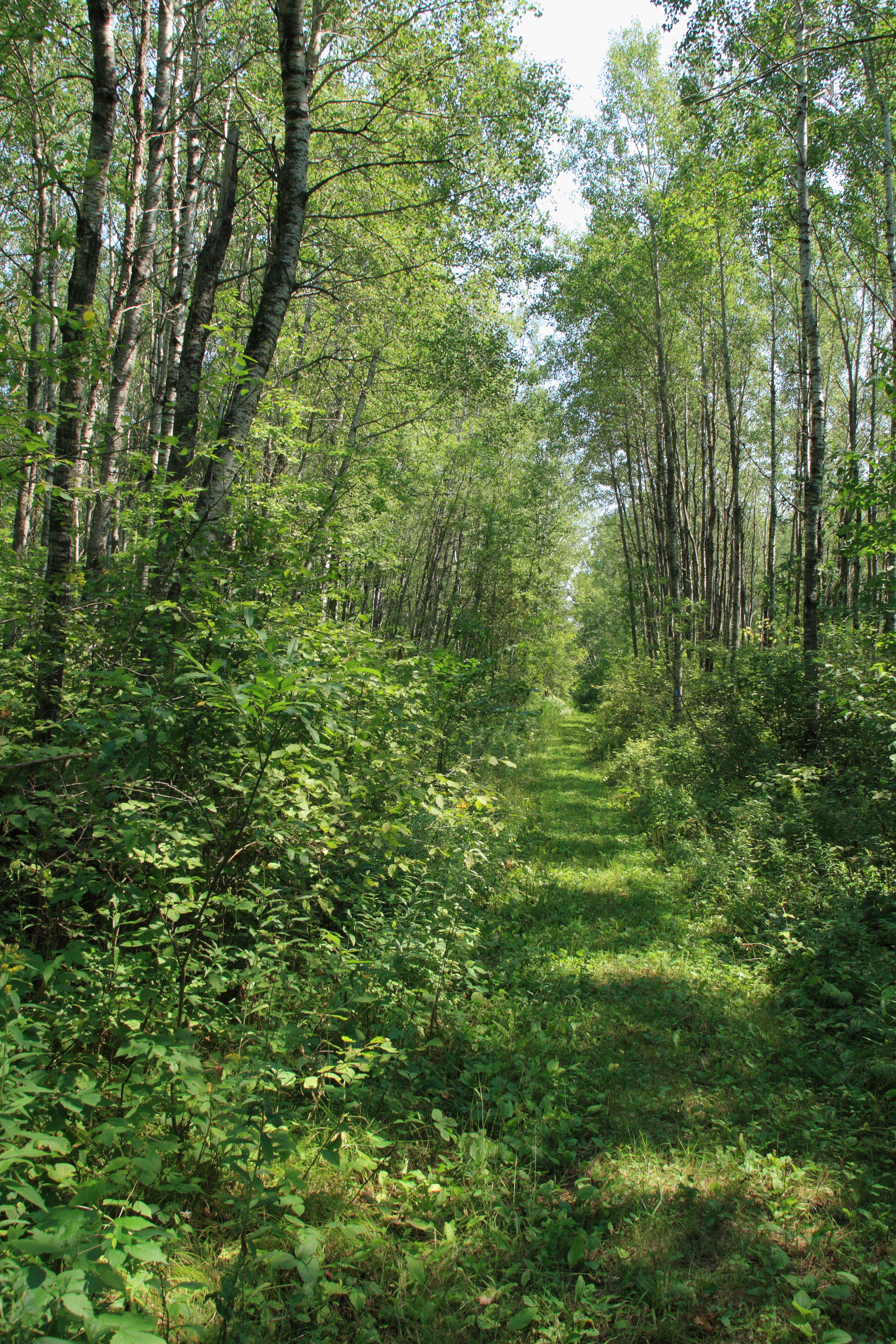
North Country Trail
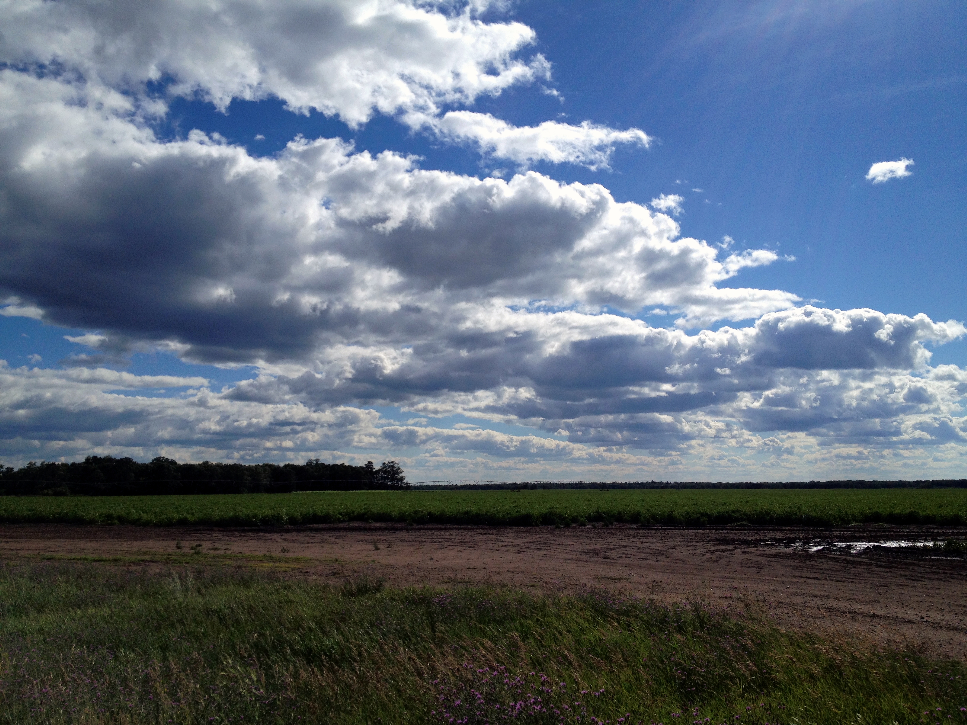
Minnesota Clouds

Rita sjoberg

Pine Point
Topographic Map of Round Lake Township, MN, USA
Find elevation by address:

Places in Round Lake Township, MN, USA:
Places near Round Lake Township, MN, USA:
Elbow Lake Store Rd, Waubun, MN, USA
Elbow Lake
41268 Co Rd 126
Smokey Hills State Forest Road
Carsonville Township
Height Of Land Township
Osage
MN-34, Osage, MN, USA
South Clearwater
48092 150 St
Osage Township
Itasca Township
Lake Itasca
MN-92, Bagley, MN, USA
Lake Itasca
Spruce Grove Township
Minerva Township
St, Menahga, MN, USA
Runeberg Township
th St, New York Mills, MN, USA
Recent Searches:
- Elevation of Corso Fratelli Cairoli, 35, Macerata MC, Italy
- Elevation of Tallevast Rd, Sarasota, FL, USA
- Elevation of 4th St E, Sonoma, CA, USA
- Elevation of Black Hollow Rd, Pennsdale, PA, USA
- Elevation of Oakland Ave, Williamsport, PA, USA
- Elevation of Pedrógão Grande, Portugal
- Elevation of Klee Dr, Martinsburg, WV, USA
- Elevation of Via Roma, Pieranica CR, Italy
- Elevation of Tavkvetili Mountain, Georgia
- Elevation of Hartfords Bluff Cir, Mt Pleasant, SC, USA