Elevation of Osage Township, MN, USA
Location: United States > Minnesota > Becker County >
Longitude: -95.230628
Latitude: 46.9195838
Elevation: 453m / 1486feet
Barometric Pressure: 96KPa
Elevation Map:
Satellite Map:
Related Photos:
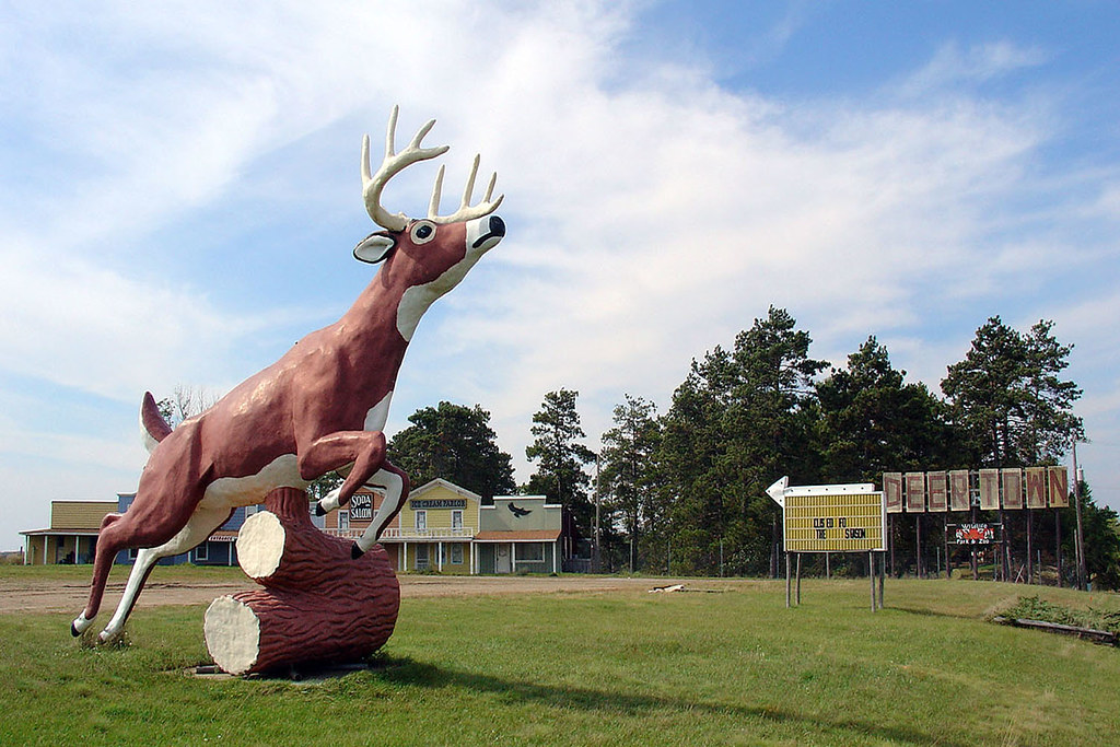
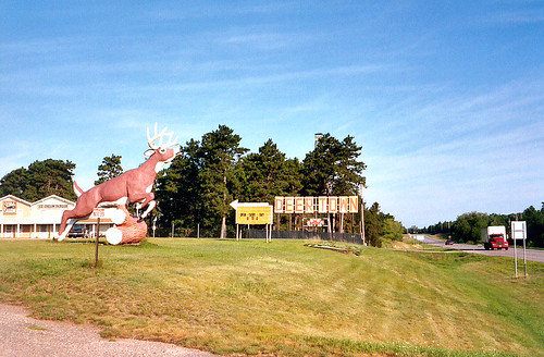
Deer Town, Minnesota, 19 Sept 2004

July Sunset

Minnesota Barn
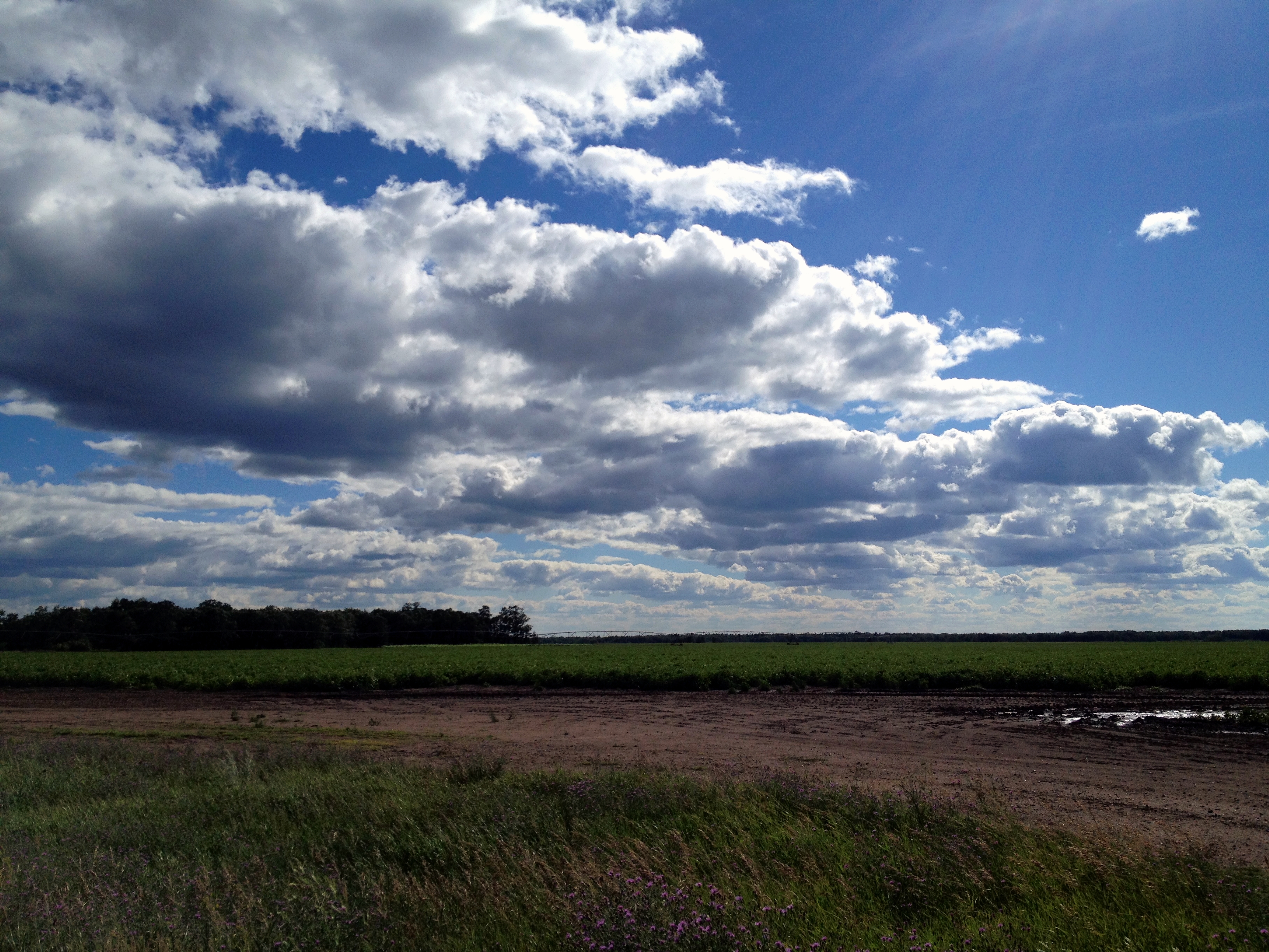
Minnesota Clouds
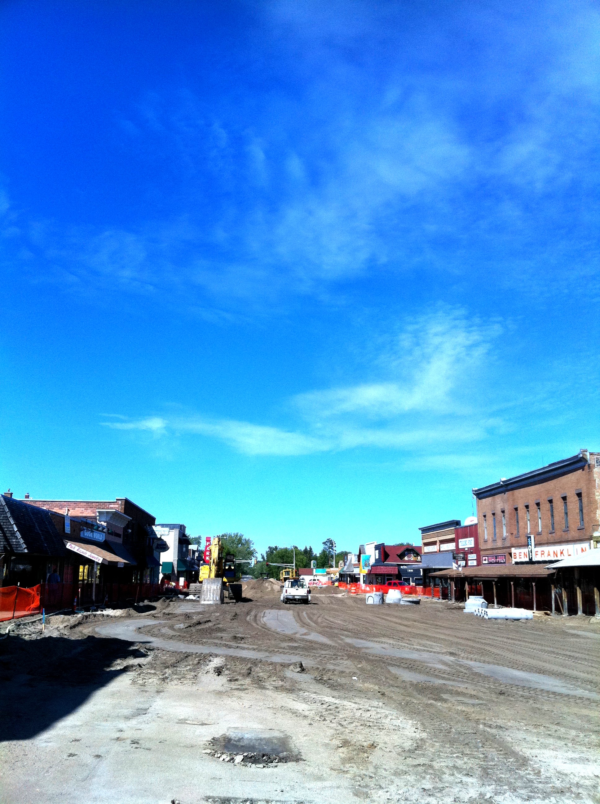
Park Rapids with Main torn out

the red bridge

Two Inlets Sunset 7/28/13

Brookside resort sunrise lake 2
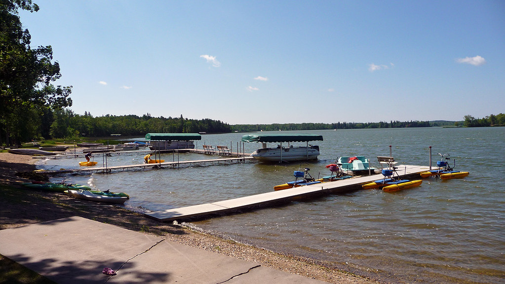
Two Inlets lake
Deer Town, 4 August 2003

Looking up shore

St Mary's Catholic Church and Grotto

Black and White Warbler 2011-05-27_090301

IMG_8400.jpg
Topographic Map of Osage Township, MN, USA
Find elevation by address:

Places in Osage Township, MN, USA:
Places near Osage Township, MN, USA:
MN-34, Osage, MN, USA
Osage
Smokey Hills State Forest Road
Carsonville Township
St, Menahga, MN, USA
Runeberg Township
Straight River Township
Park Rapids
10130 Mn-87
54759 110 St
Spruce Grove Township
Hinds Lake
48092 150 St
Menahga
12490 350th St
14402 Chippewa Loop
Hubbard Township
th St, New York Mills, MN, USA
South Clearwater
Butler Township
Recent Searches:
- Elevation of 72-31 Metropolitan Ave, Middle Village, NY, USA
- Elevation of 76 Metropolitan Ave, Brooklyn, NY, USA
- Elevation of Alisal Rd, Solvang, CA, USA
- Elevation of Vista Blvd, Sparks, NV, USA
- Elevation of 15th Ave SE, St. Petersburg, FL, USA
- Elevation of Beall Road, Beall Rd, Florida, USA
- Elevation of Leguwa, Nepal
- Elevation of County Rd, Enterprise, AL, USA
- Elevation of Kolchuginsky District, Vladimir Oblast, Russia
- Elevation of Shustino, Vladimir Oblast, Russia