Elevation of Smith Ln W, Omaha, AR, USA
Location: United States > Arkansas > Boone County > Long Creek Township >
Longitude: -93.219992
Latitude: 36.398166
Elevation: 408m / 1339feet
Barometric Pressure: 97KPa
Elevation Map:
Satellite Map:
Related Photos:
current location: this! #rvsx
Big Cedar Lodge on Table Rock Lake

WPA Bridge-Side View

WPA Bridge-Deck View

Big Cedar Water Fall

Waterfall Big Cedar Lodge

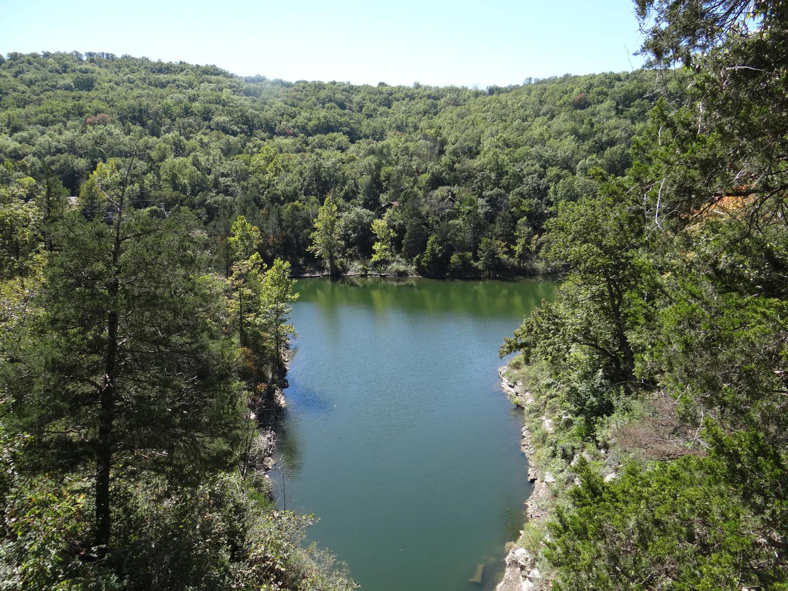
Big Cedar Creek
Branson, MO

Trickling Falls

Pond at Big Cedar

Big Cedar Lodge

Covered Canopy
Recreational Boating in a place called Devil's Pool
Big Cedar Lodge on Table Rock Lake
Topographic Map of Smith Ln W, Omaha, AR, USA
Find elevation by address:

Places near Smith Ln W, Omaha, AR, USA:
Omaha, AR, USA
College Rd, Omaha, AR, USA
Omaha
14367 Ar-14
14899 Old Springfield Rd N
Ridgedale
3502 Ridgedale Rd
3502 Ridgedale Rd
County Road 629
Gillum Drive
10638 Ar-311
190 Top Of The Rock Road
Big Cedar Lodge
Top Of The Rock Road
Big Cedar Lodge
Oliver Township
Osage Restaurant
190 Top Of The Rock Rd
Westgate Branson Lakes Resort
AR-, Green Forest, AR, USA
Recent Searches:
- Elevation of 24 Oakland Rd #, Scotland, ON N0E 1R0, Canada
- Elevation of Deep Gap Farm Rd E, Mill Spring, NC, USA
- Elevation of Dog Leg Dr, Minden, NV, USA
- Elevation of Dog Leg Dr, Minden, NV, USA
- Elevation of Kambingan Sa Pansol Atbp., Purok 7 Pansol, Candaba, Pampanga, Philippines
- Elevation of Pinewood Dr, New Bern, NC, USA
- Elevation of Mountain View, CA, USA
- Elevation of Foligno, Province of Perugia, Italy
- Elevation of Blauwestad, Netherlands
- Elevation of Bella Terra Blvd, Estero, FL, USA