Elevation of Omaha, AR, USA
Location: United States > Arkansas > Boone County > Omaha Township > Omaha >
Longitude: -93.218147
Latitude: 36.4364951
Elevation: 390m / 1280feet
Barometric Pressure: 97KPa
Elevation Map:
Satellite Map:
Related Photos:

The Wedding Chapel

BOOM!
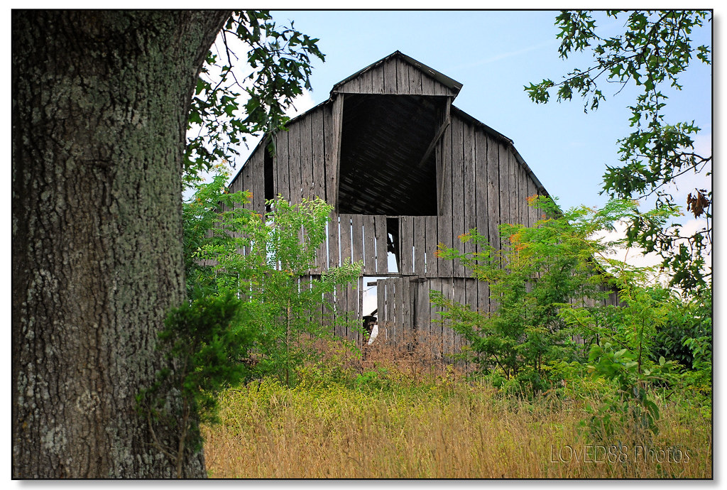
Old Country Barn (1)

Stonework, Light, and Shadows

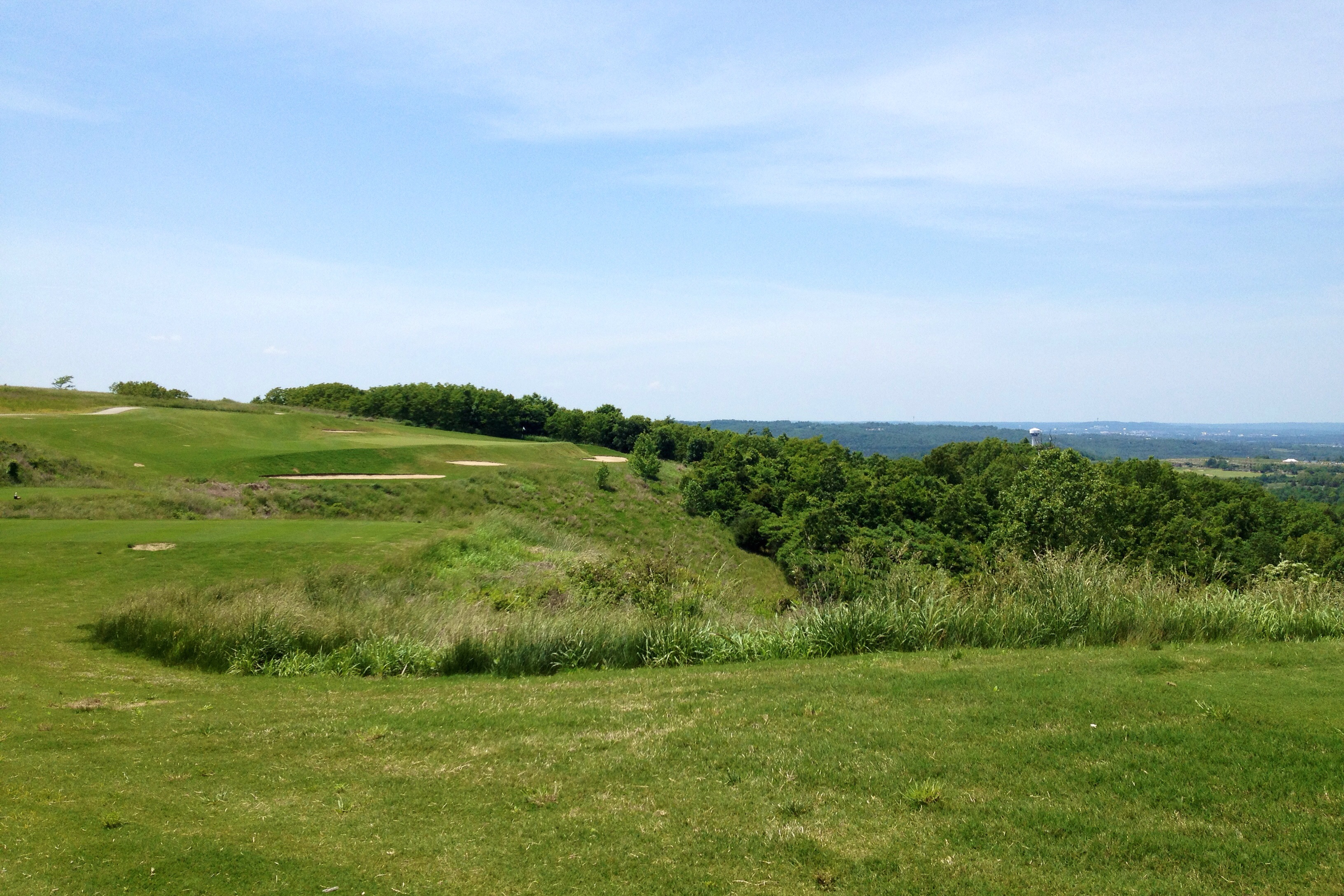
The view from Top of the Rock, Ridgedale, MO #topoftherock #tablerocklake #mo #golfcourse #valentinesday

Rear or "aft" view

dinner view

view from dinner

View during dinner
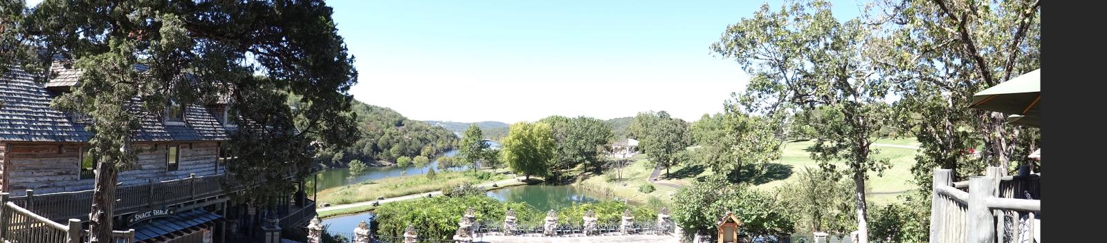
Big Cedar Lodge on Table Rock Lake
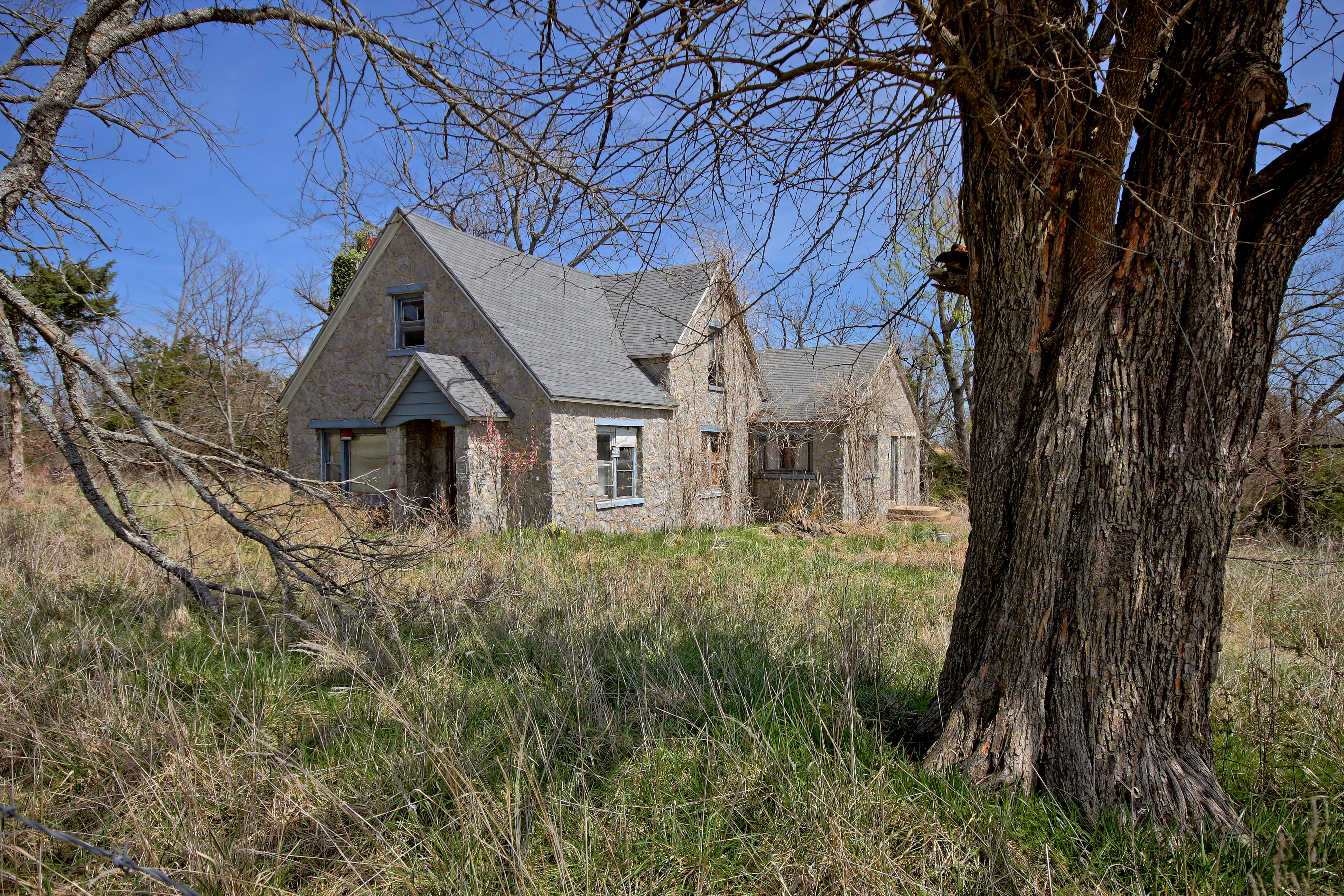
Abandoned in Arkansas

Cannon Saluate at Sunset

The Longest Ride

11/01/2015

#runstreak day 91

Big Cedar Water Fall
Camera Roll-208

Waterfall Big Cedar Lodge

9th Hole, Murder Rock Golf Club, Hollister, MO
2010_0420 1190.. But I know the way!
Branson, MO

Camera Roll-199

2013 09 17 ANDY'S VACATION (0526)
Big Cedar Lodge on Table Rock Lake
Old Charcoal plant.
Hole 17 at Murder Rock Golf Course
Topographic Map of Omaha, AR, USA
Find elevation by address:

Places near Omaha, AR, USA:
College Rd, Omaha, AR, USA
Omaha
12112 Smith Ln W
14367 Ar-14
14899 Old Springfield Rd N
Ridgedale
3502 Ridgedale Rd
3502 Ridgedale Rd
Gillum Drive
190 Top Of The Rock Road
County Road 629
Big Cedar Lodge
Top Of The Rock Road
Oliver Township
Osage Restaurant
190 Top Of The Rock Rd
Big Cedar Lodge
10638 Ar-311
Westgate Branson Lakes Resort
Pine A Township
Recent Searches:
- Elevation of Dog Leg Dr, Minden, NV, USA
- Elevation of Dog Leg Dr, Minden, NV, USA
- Elevation of Kambingan Sa Pansol Atbp., Purok 7 Pansol, Candaba, Pampanga, Philippines
- Elevation of Pinewood Dr, New Bern, NC, USA
- Elevation of Mountain View, CA, USA
- Elevation of Foligno, Province of Perugia, Italy
- Elevation of Blauwestad, Netherlands
- Elevation of Bella Terra Blvd, Estero, FL, USA
- Elevation of Estates Loop, Priest River, ID, USA
- Elevation of Woodland Oak Pl, Thousand Oaks, CA, USA