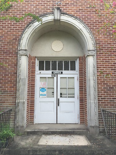
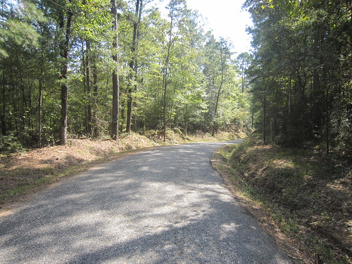
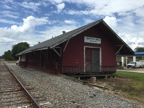
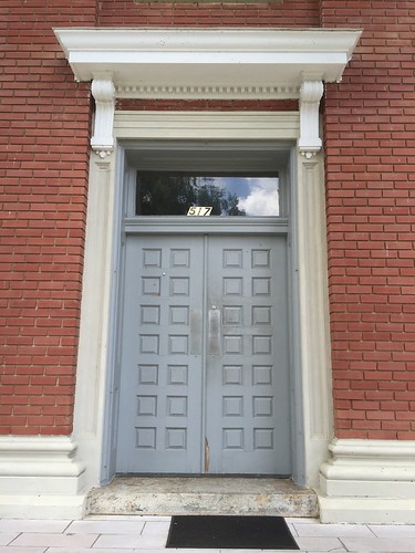
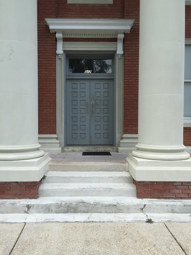
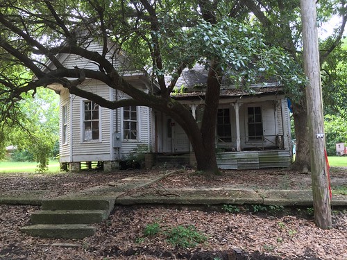
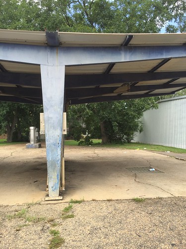
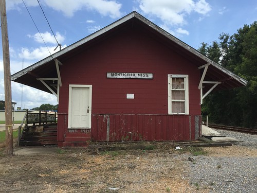
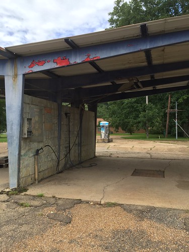
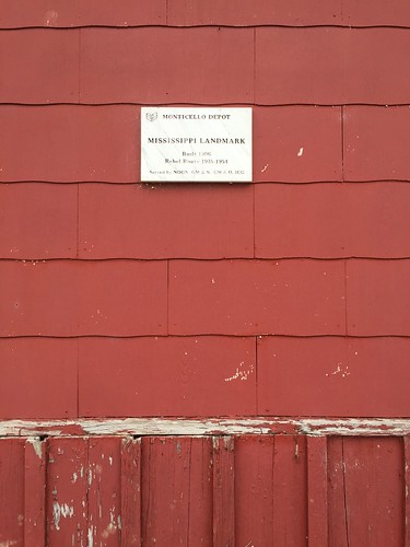
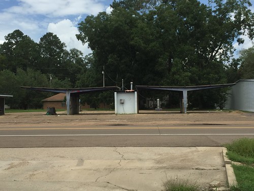
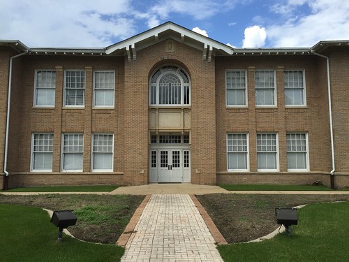
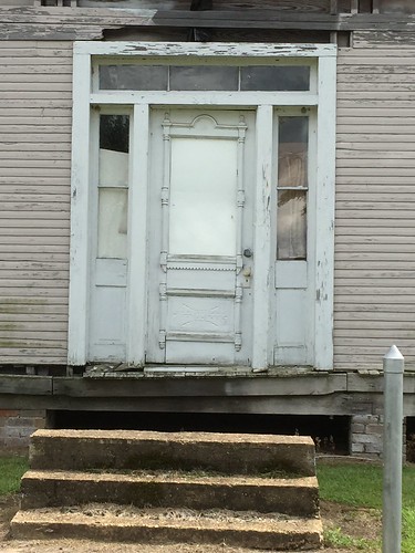
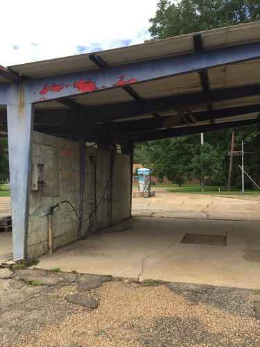
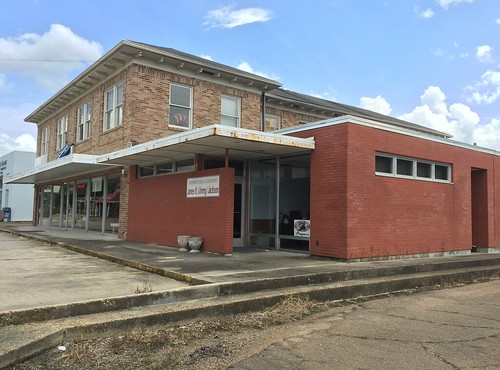
Elevation of Smith Lane, Monticello, MS, USA
Location: United States > Mississippi > Lawrence County > Monticello >
Longitude: -90.116127
Latitude: 31.539905
Elevation: 71m / 233feet
Barometric Pressure: 100KPa
Related Photos:
Topographic Map of Smith Lane, Monticello, MS, USA
Find elevation by address:

Places near Smith Lane, Monticello, MS, USA:
West Thomas E Jolly Drive
622 E Mcpherson Dr
Graham Avenue
Monticello
Light Plant Road
Brookhaven Street
Oak Grove Road
38 Lizzie Arnold Ln
Lawrence County
618 Carmel-new Hope Rd
42 Sycamore Dr
60 Boutwell Rd, Monticello, MS, USA
E Lincoln Rd, Monticello, MS, USA
Robert Tynes Road
Tom Sistrunk Road
Tilton
Rutland Road
42 Oma Sugar Farm Rd, Monticello, MS, USA
Jayess
4037 Fire Tower Rd
Recent Searches:
- Elevation of Shibuya Scramble Crossing, 21 Udagawacho, Shibuya City, Tokyo -, Japan
- Elevation of Jadagoniai, Kaunas District Municipality, Lithuania
- Elevation of Pagonija rock, Kranto 7-oji g. 8"N, Kaunas, Lithuania
- Elevation of Co Rd 87, Jamestown, CO, USA
- Elevation of Tenjo, Cundinamarca, Colombia
- Elevation of Côte-des-Neiges, Montreal, QC H4A 3J6, Canada
- Elevation of Bobcat Dr, Helena, MT, USA
- Elevation of Zu den Ihlowbergen, Althüttendorf, Germany
- Elevation of Badaber, Peshawar, Khyber Pakhtunkhwa, Pakistan
- Elevation of SE Heron Loop, Lincoln City, OR, USA
