Elevation of Light Plant Road, Light Plant Rd, Monticello, MS, USA
Location: United States > Mississippi > Lawrence County > Monticello >
Longitude: -90.126282
Latitude: 31.5262567
Elevation: 75m / 246feet
Barometric Pressure: 100KPa
Elevation Map:
Satellite Map:
Related Photos:
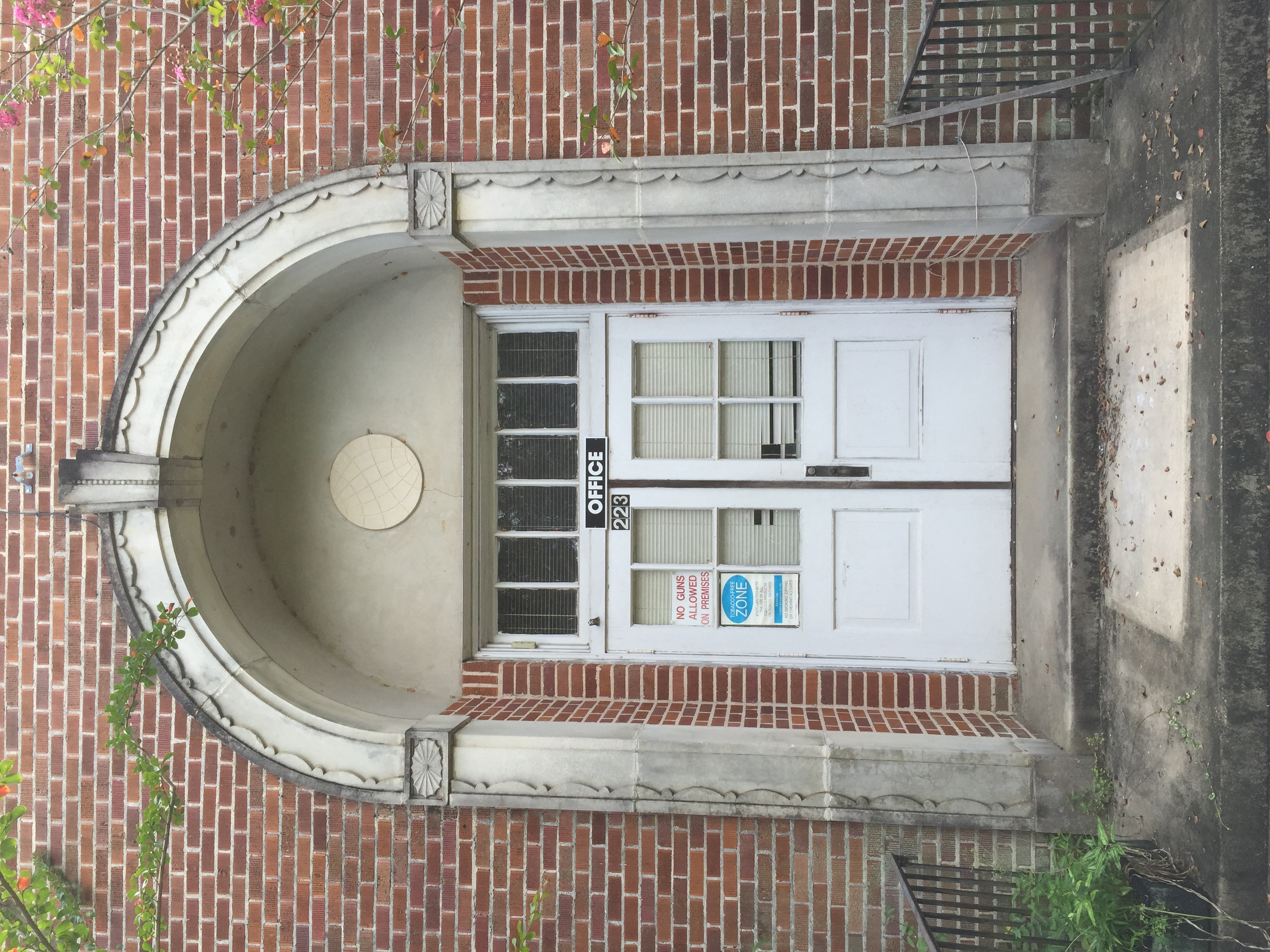
Elementary building. Monticello, Miss.
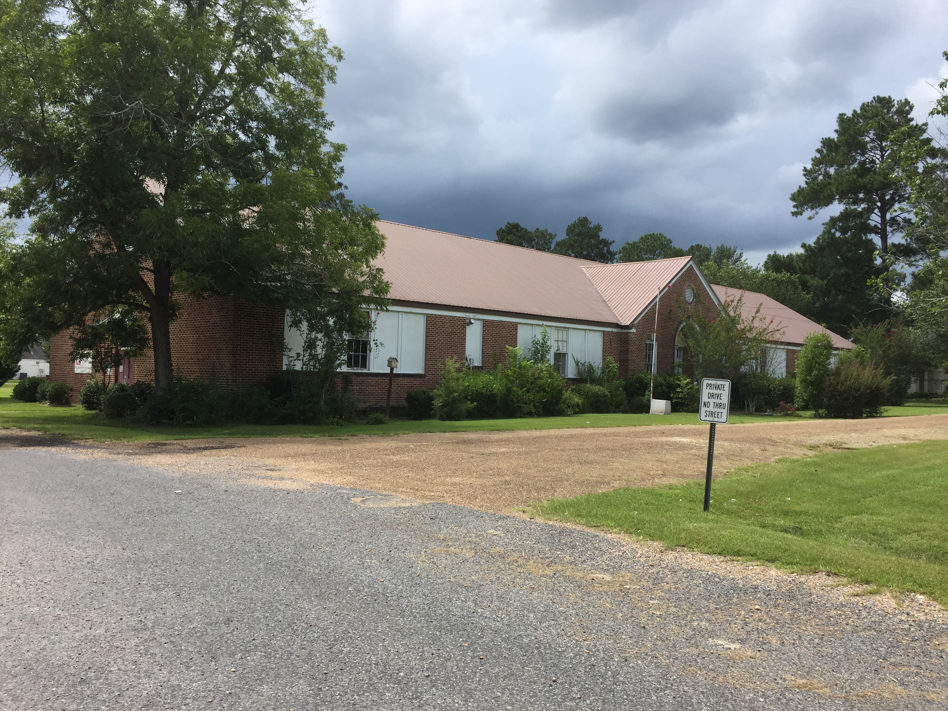
Elementary building Monticello, Miss.
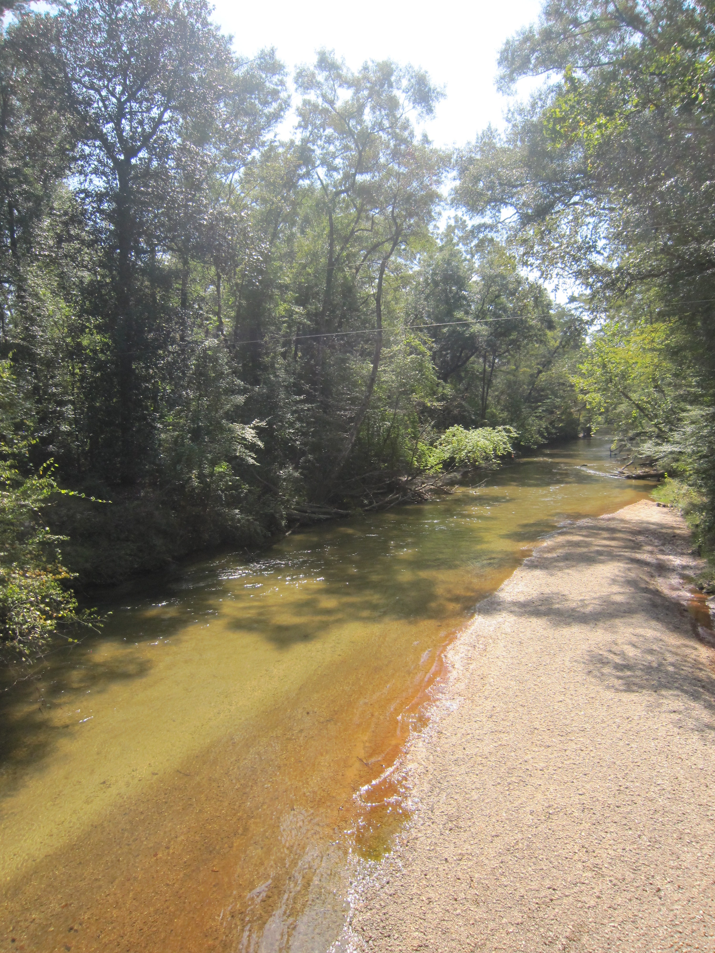
White Sand Creek 2

River Road
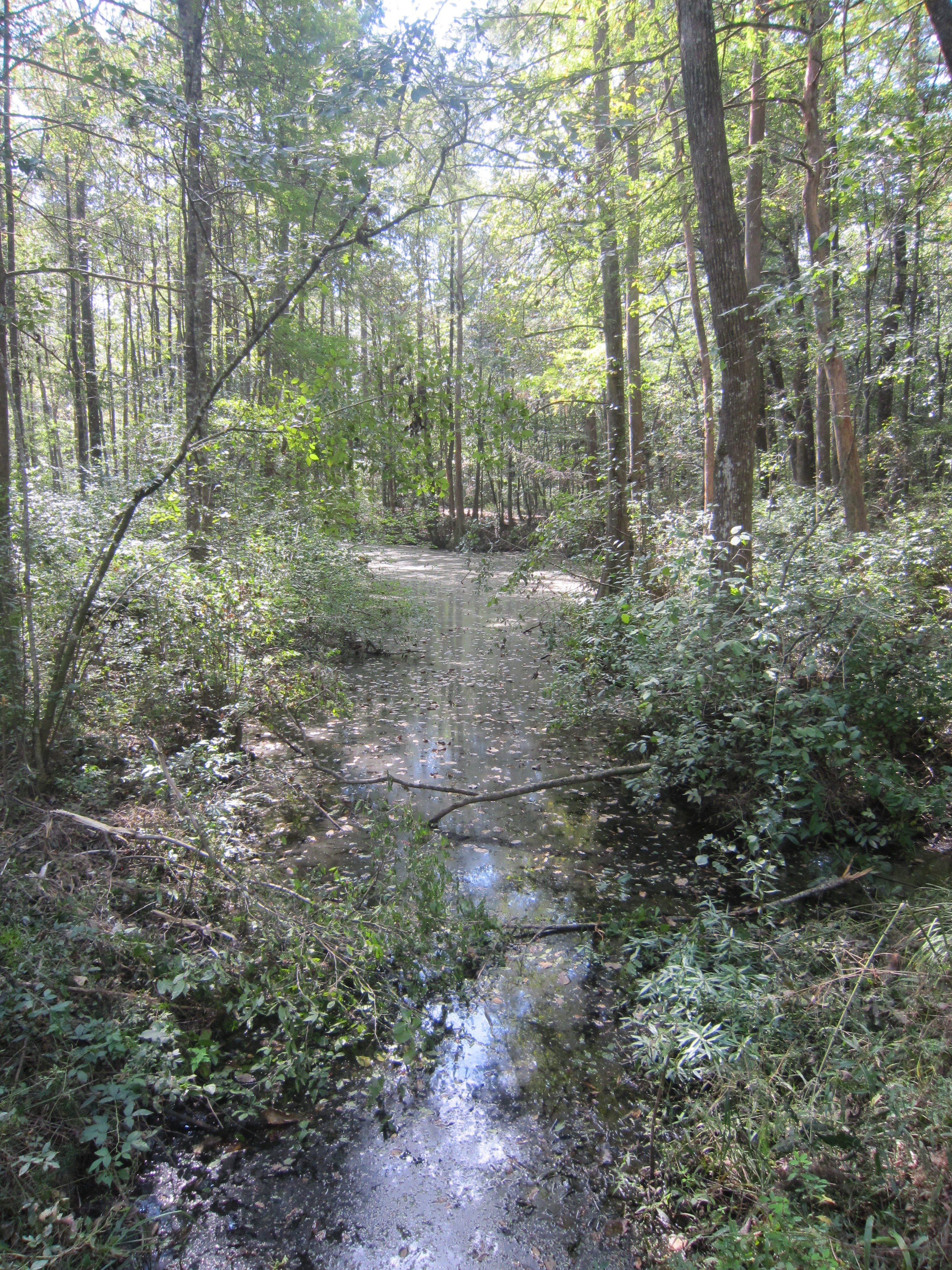
River Road 4
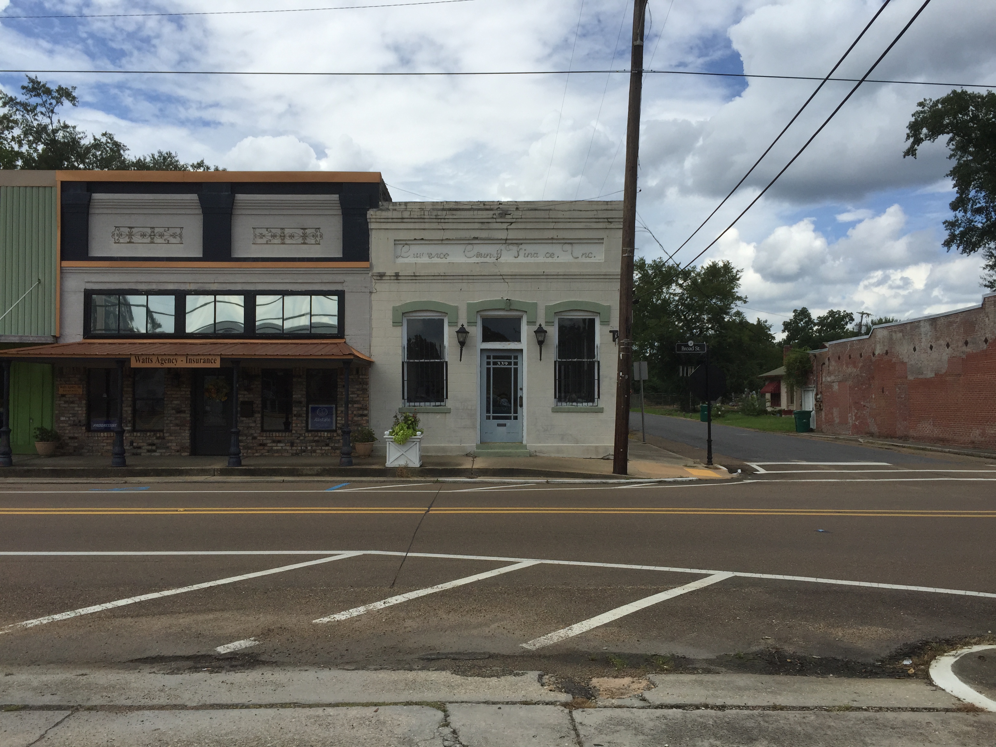
Downtown Monticello, Lawrence County Mississippi
Lawrence County Courthouse. Monticello, Mississippi

Monticello, Miss.
Monticello, Miss.
Monticello, Miss.
Monticello, Miss.

Monticello, Miss.
Monticello, Miss.
Monticello, Miss.
Monticello, Miss.
Monticello, Miss.
Monticello, Miss.
Monticello, Miss.
Monticello, Miss.
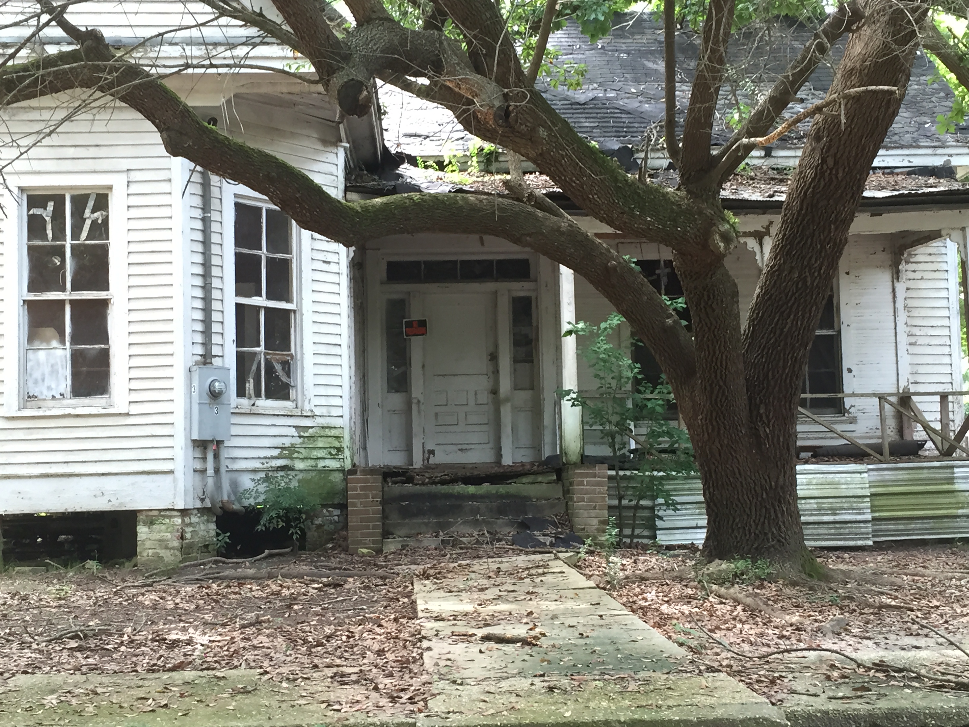
Monticello, Miss.
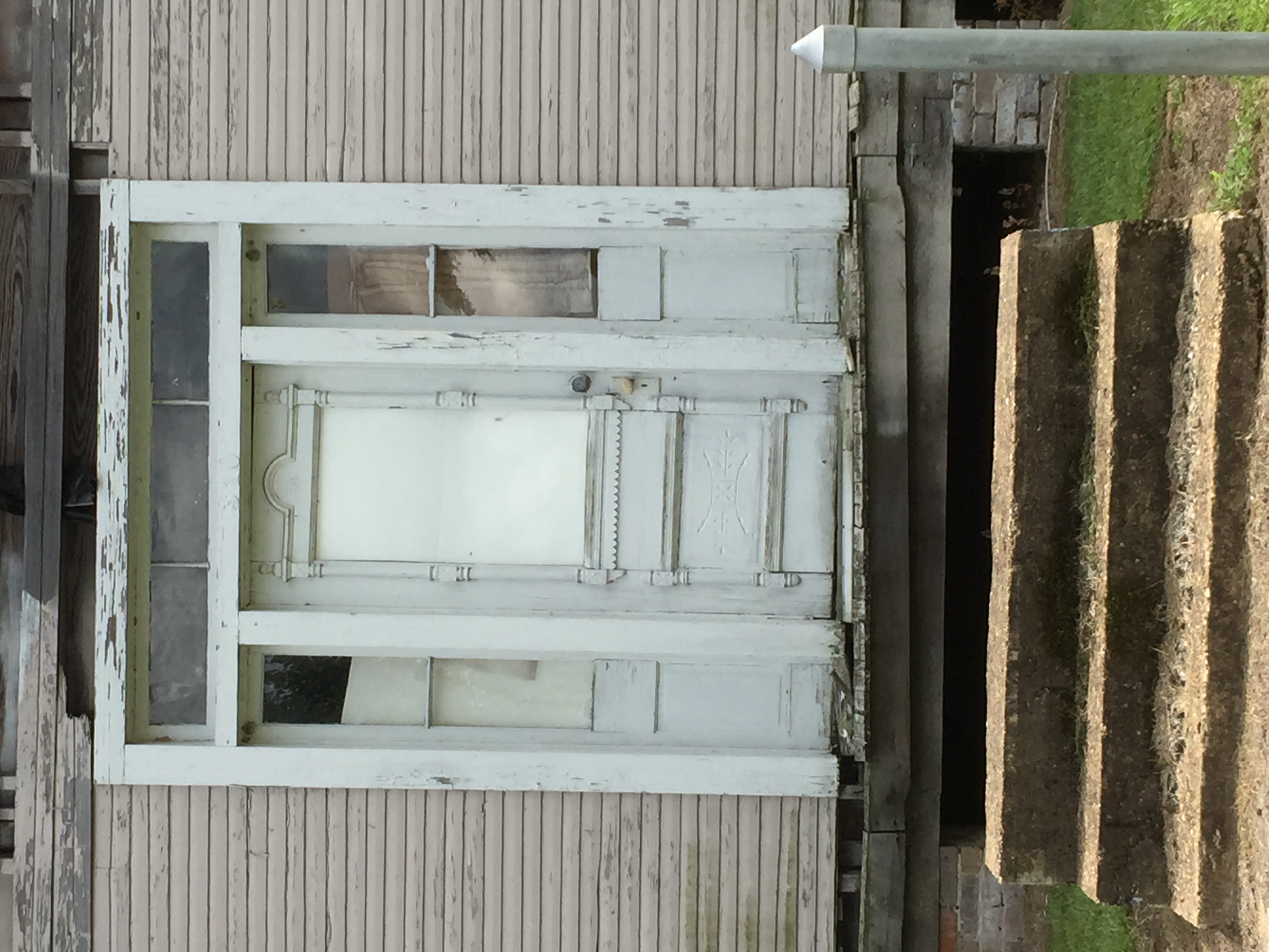
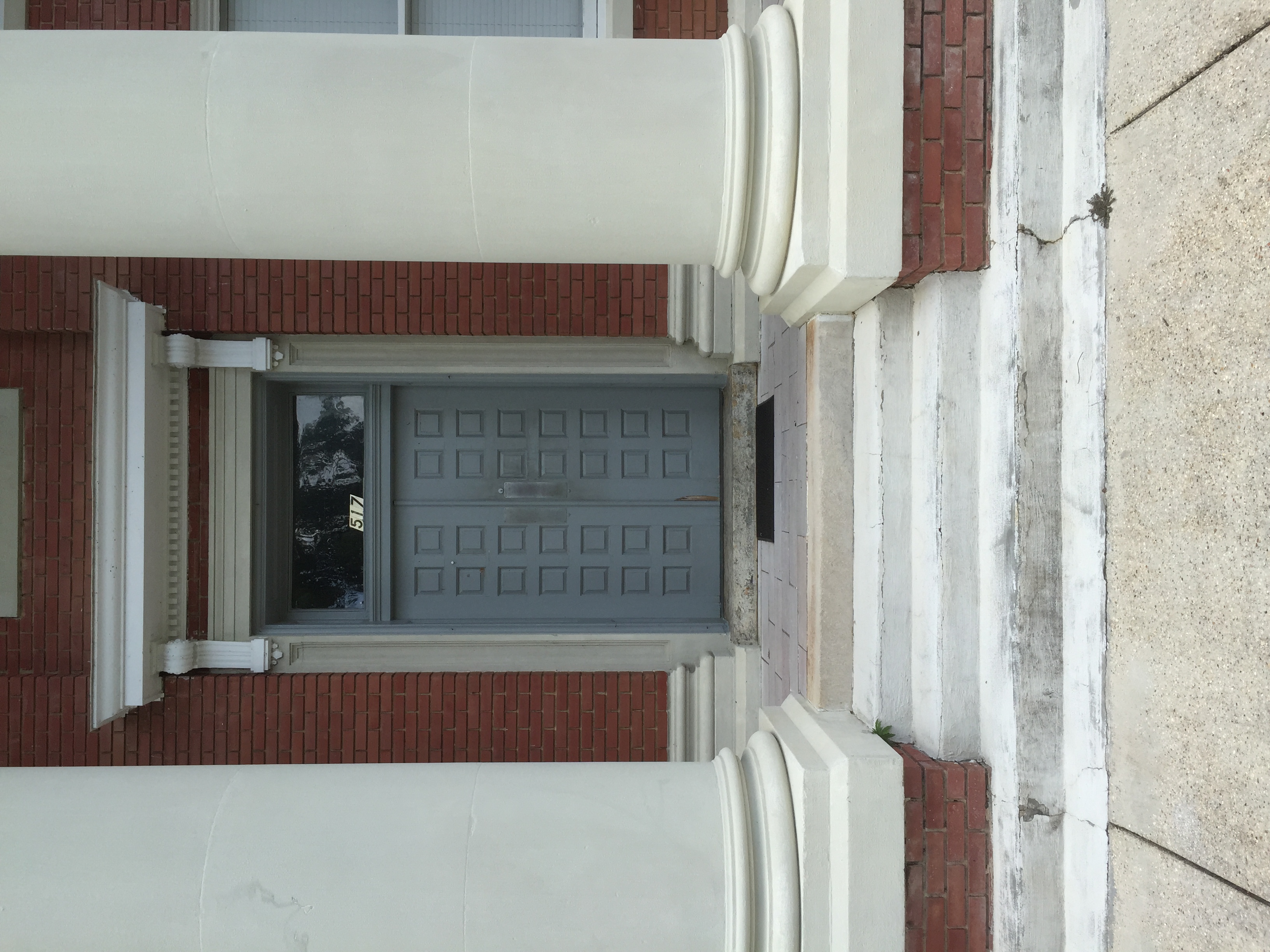
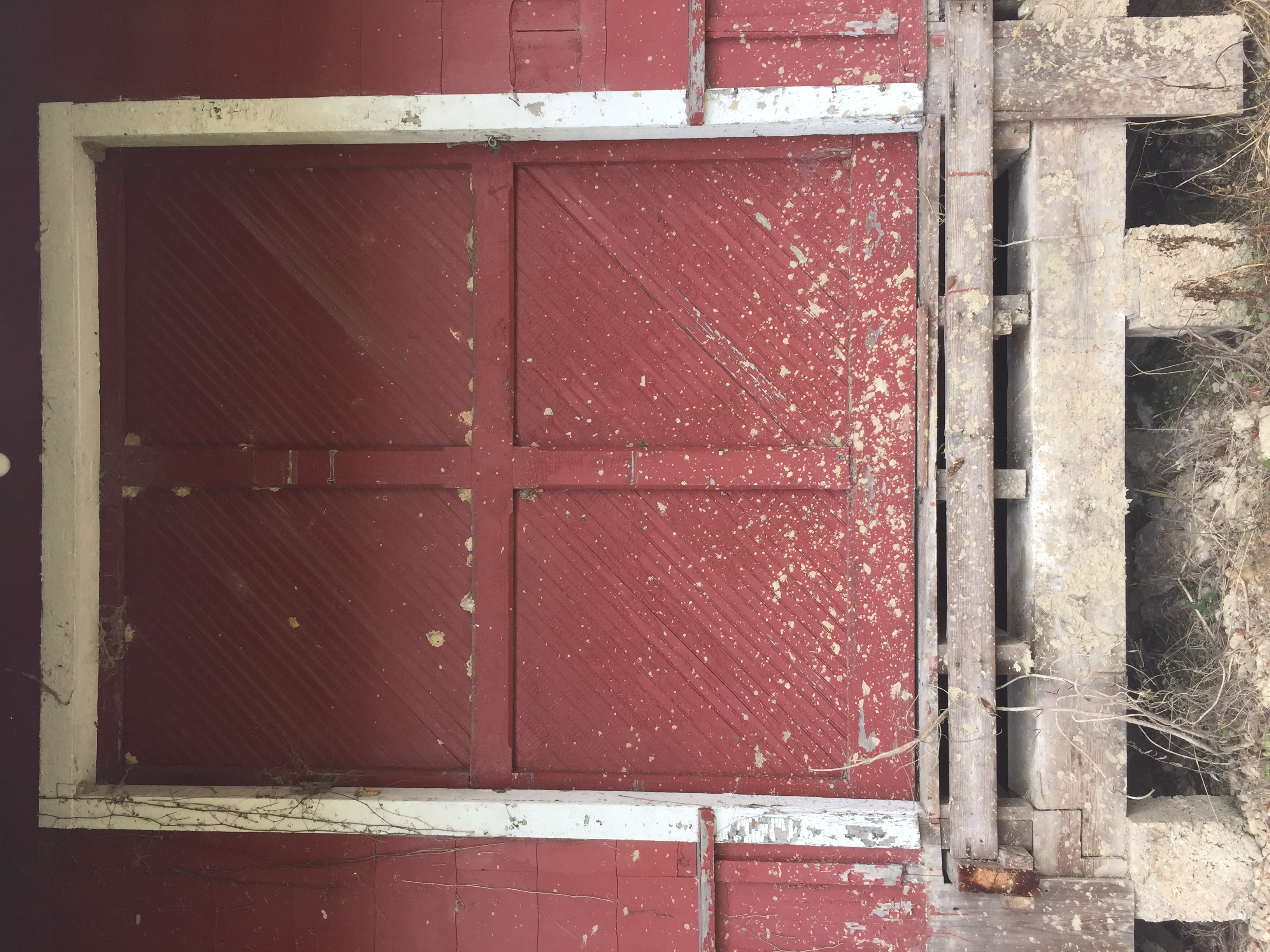
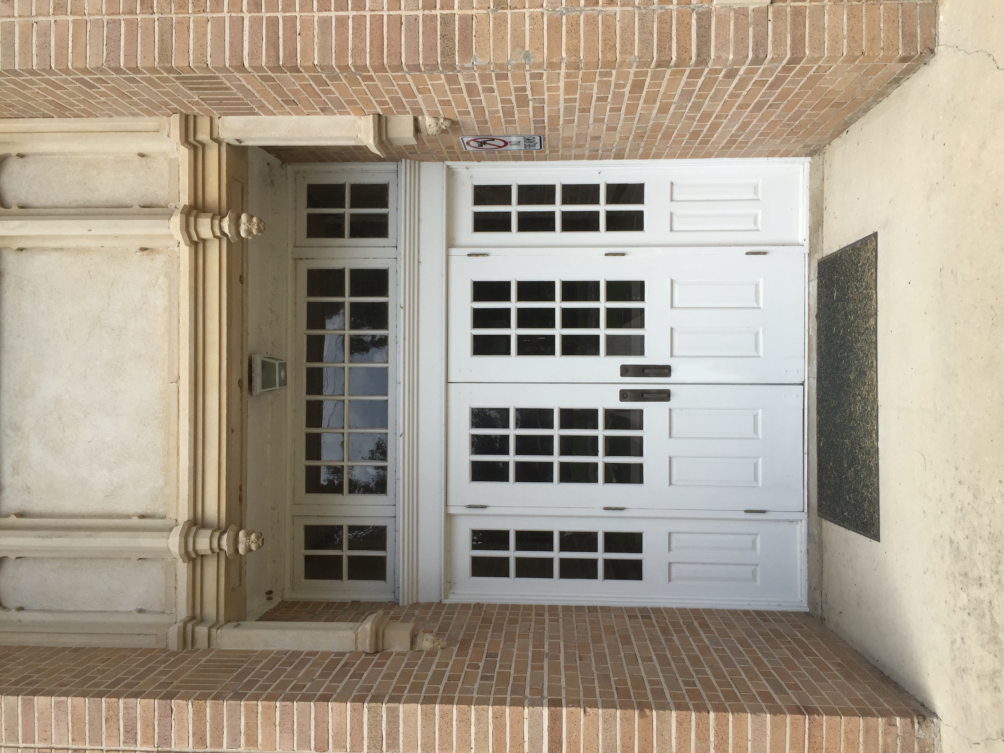
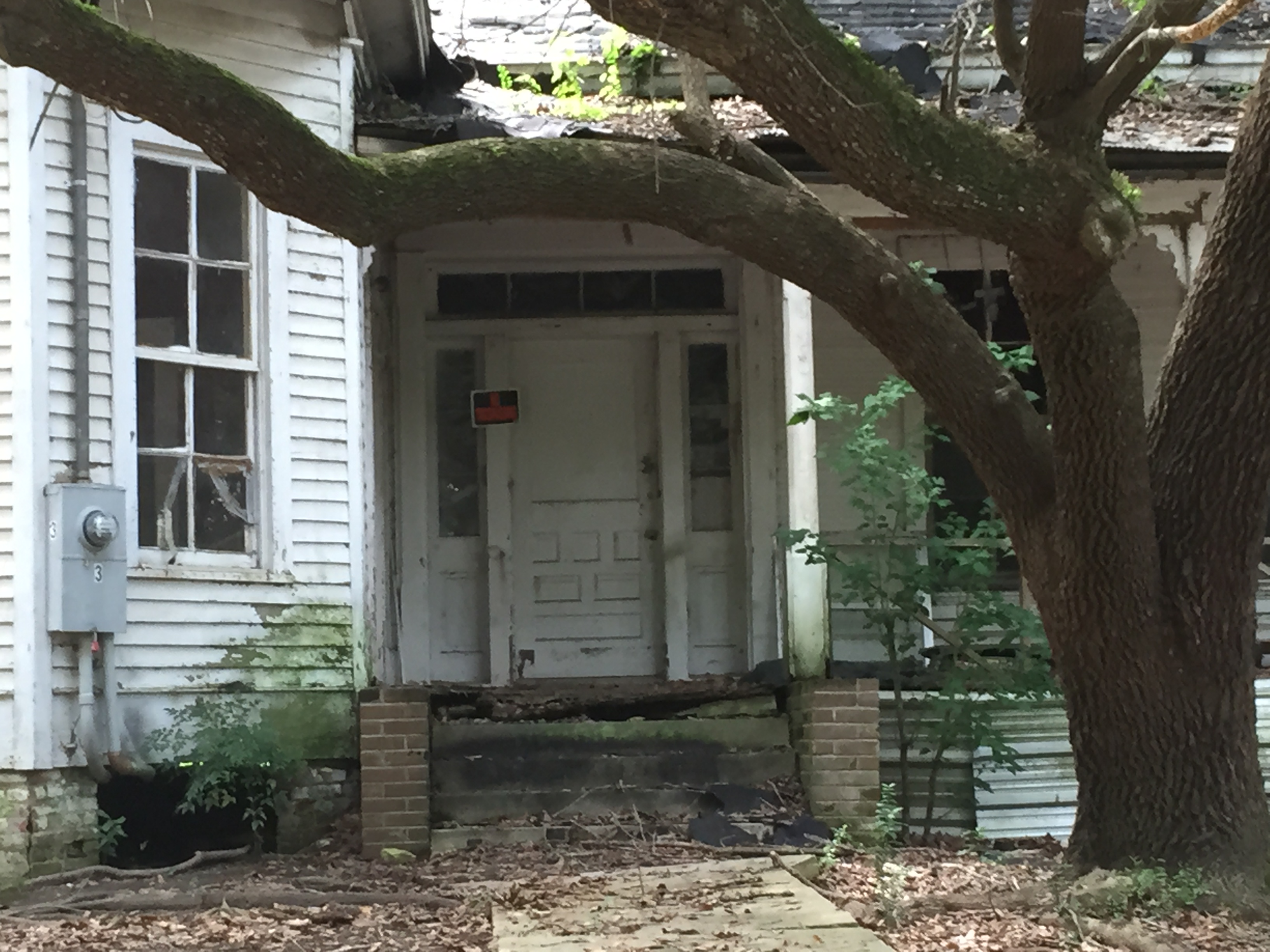
Doorway. Monticello, Mississippi
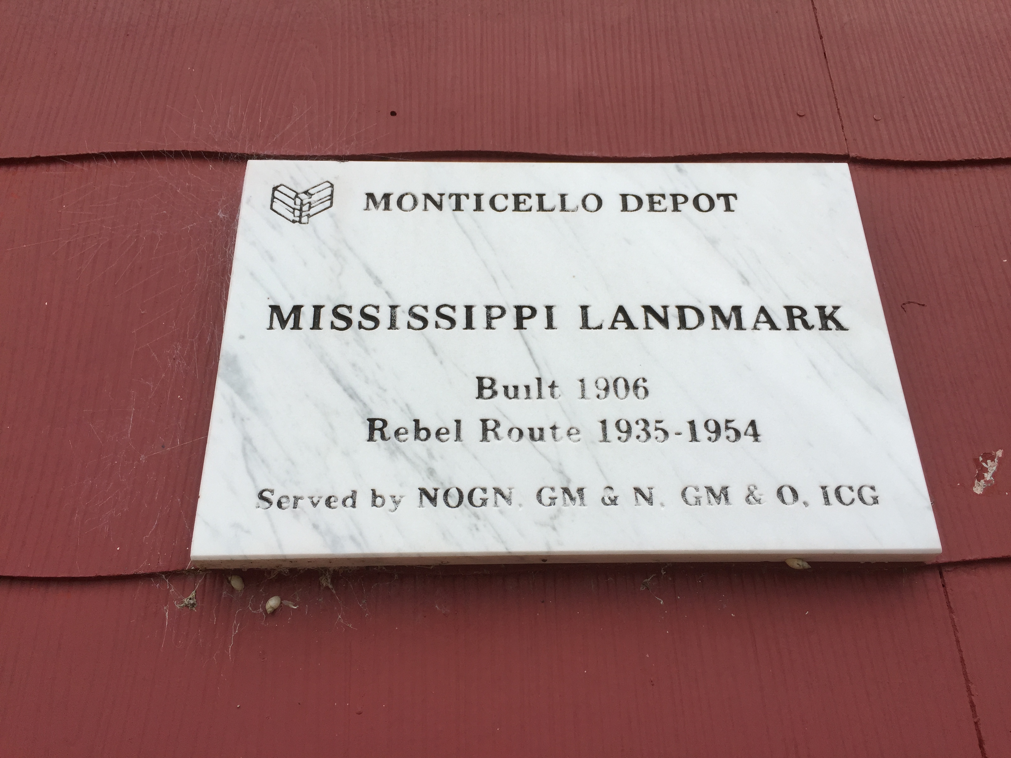
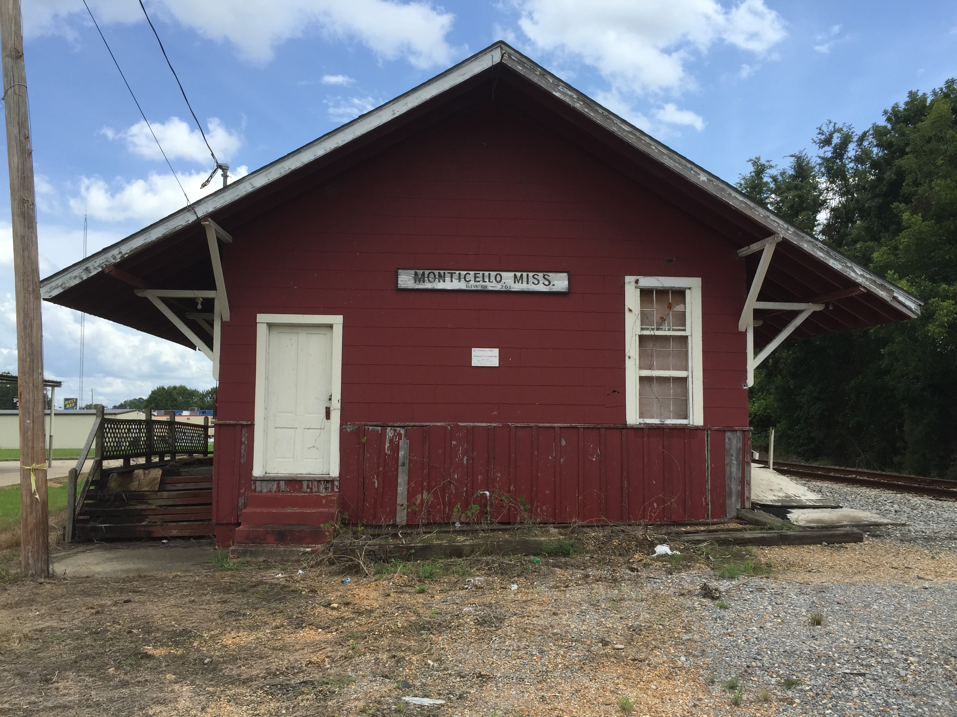
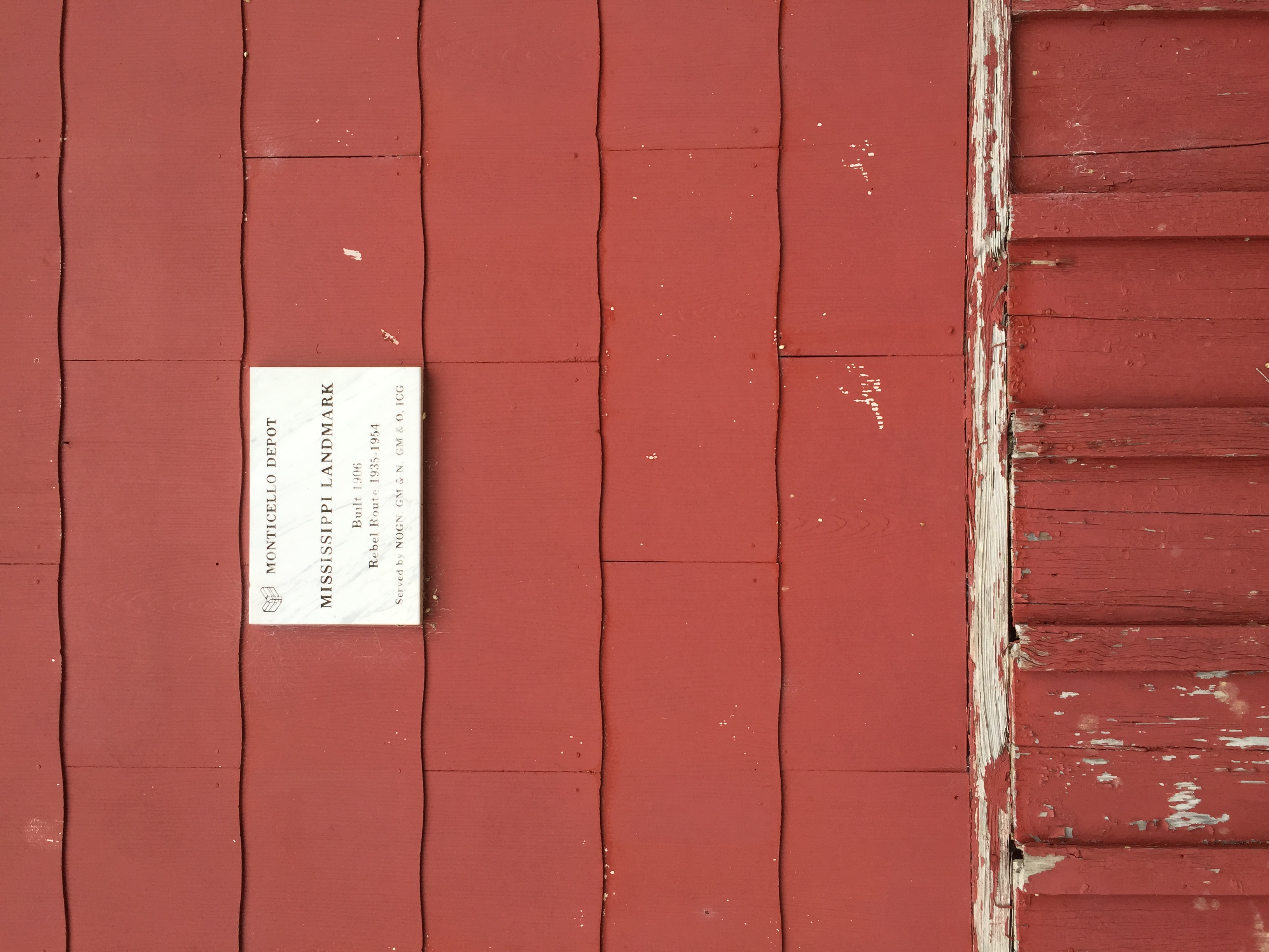
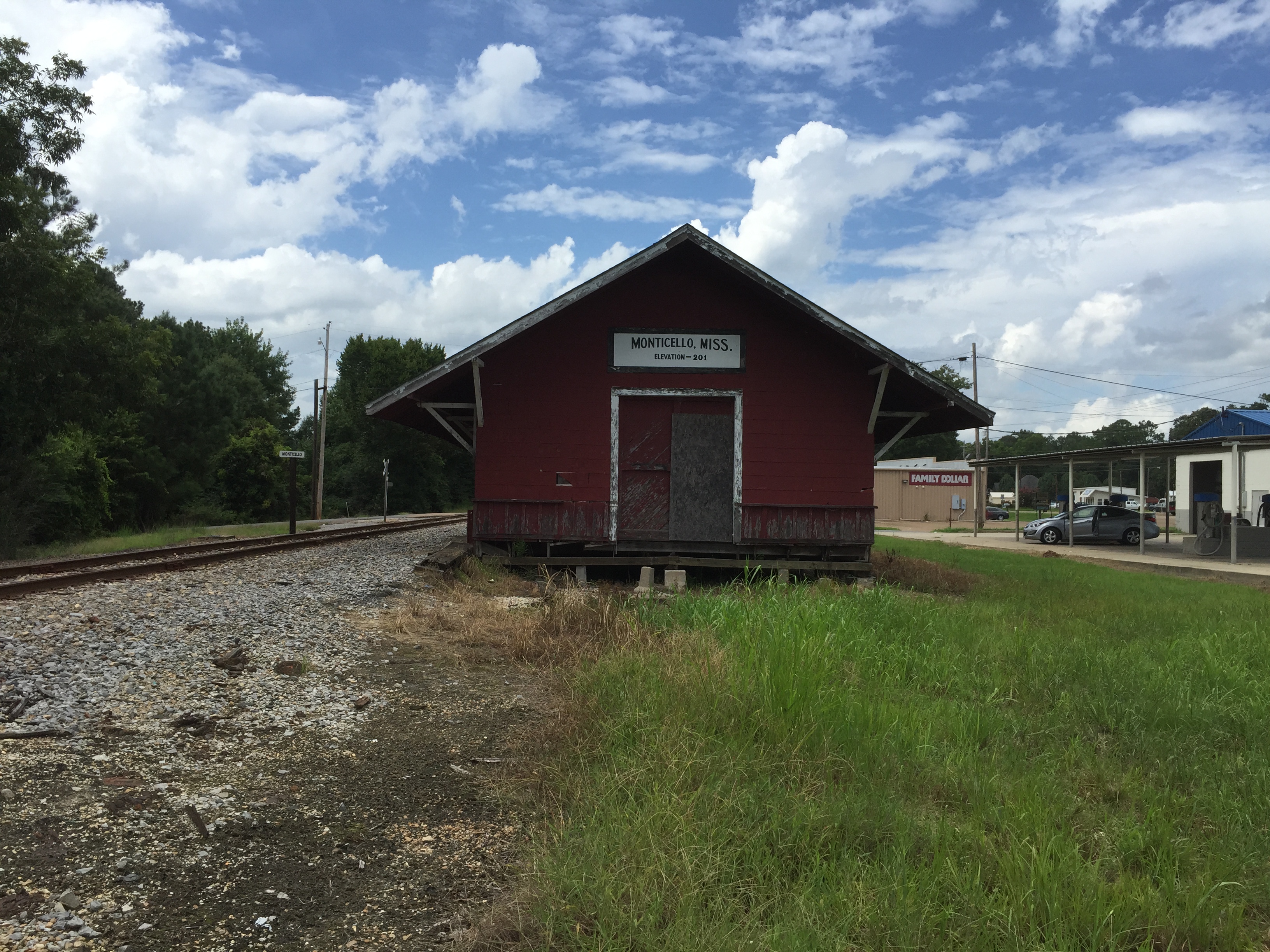
Monticello Depot. Monticello Mississippi
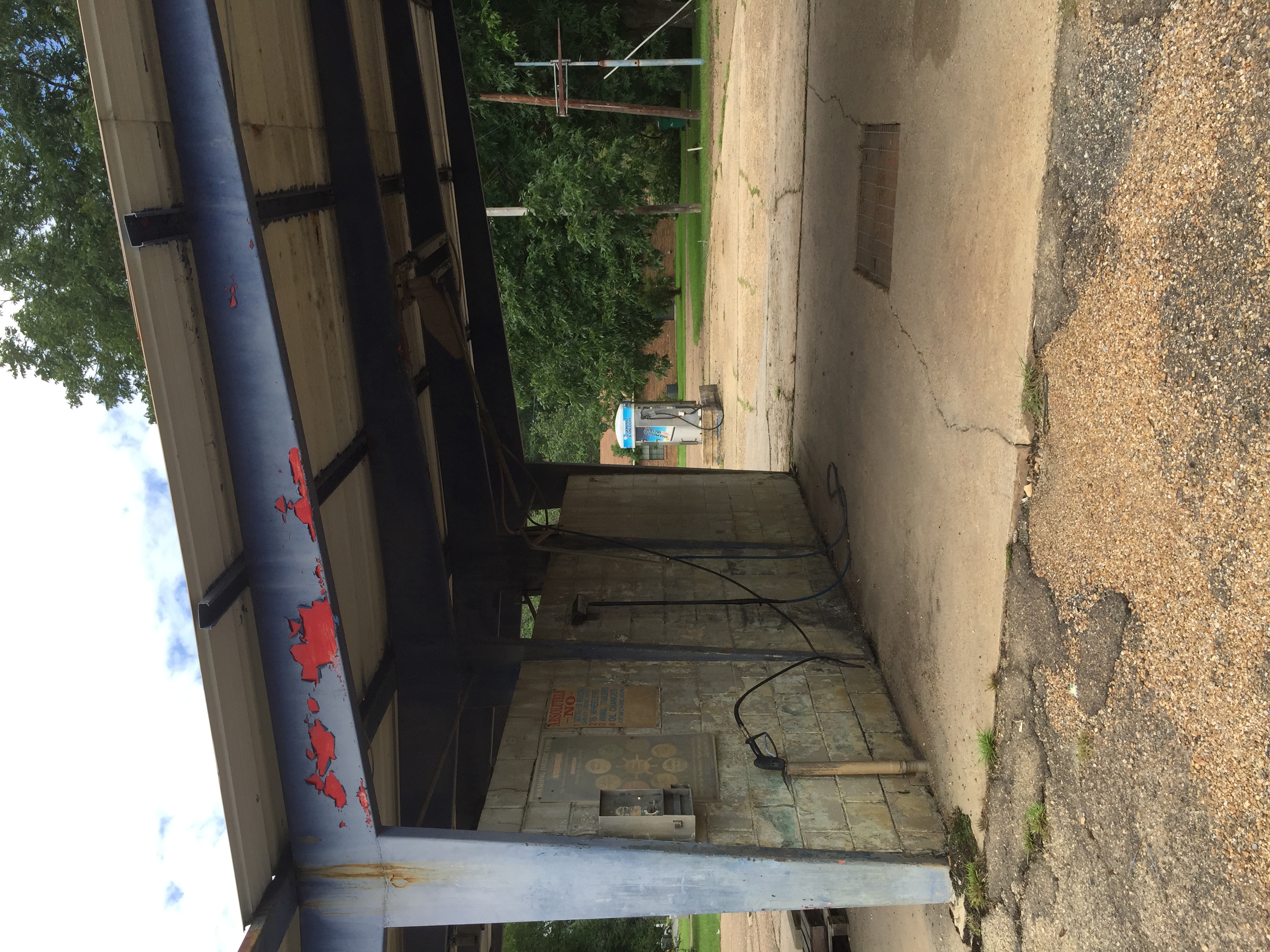
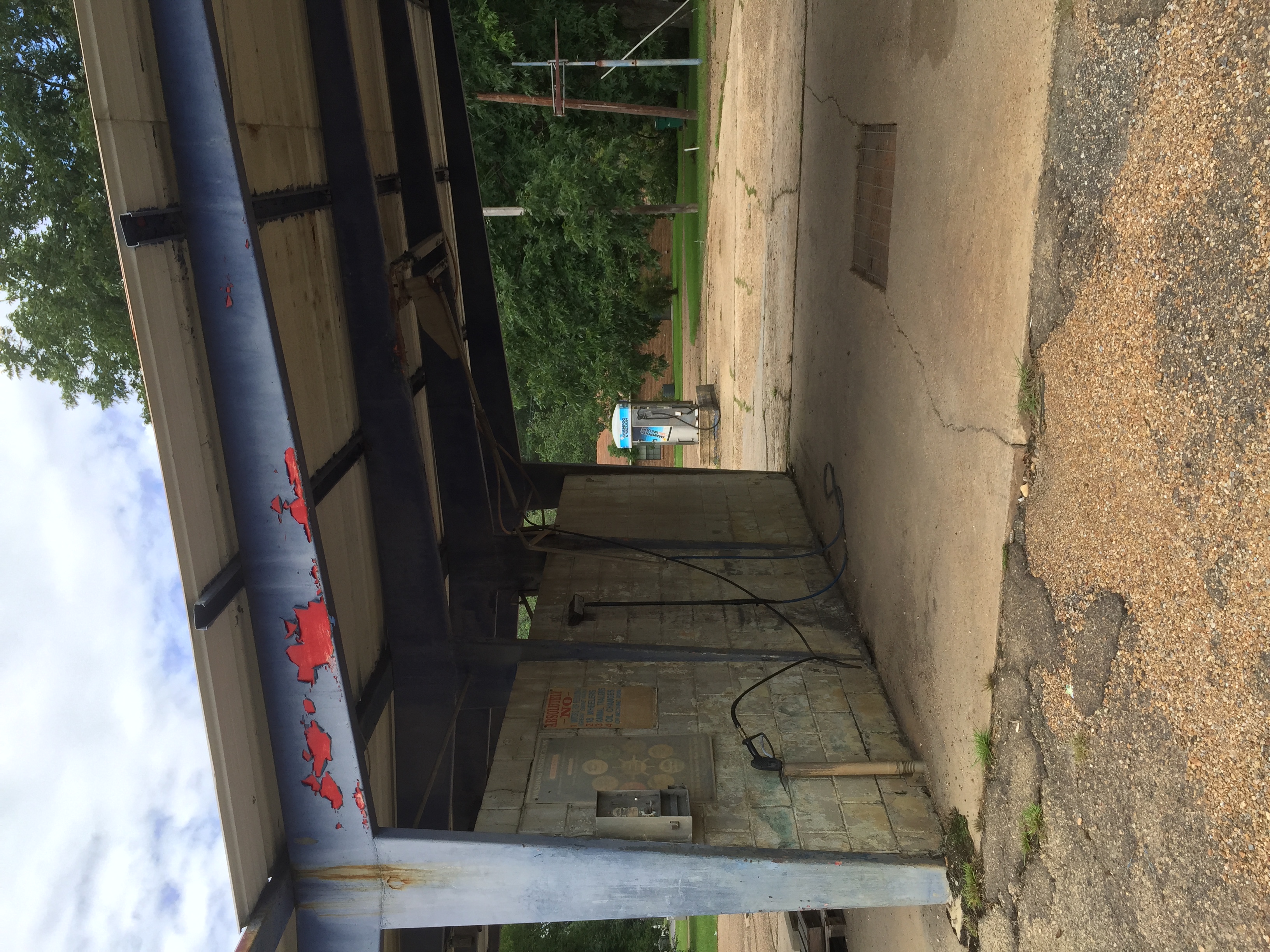
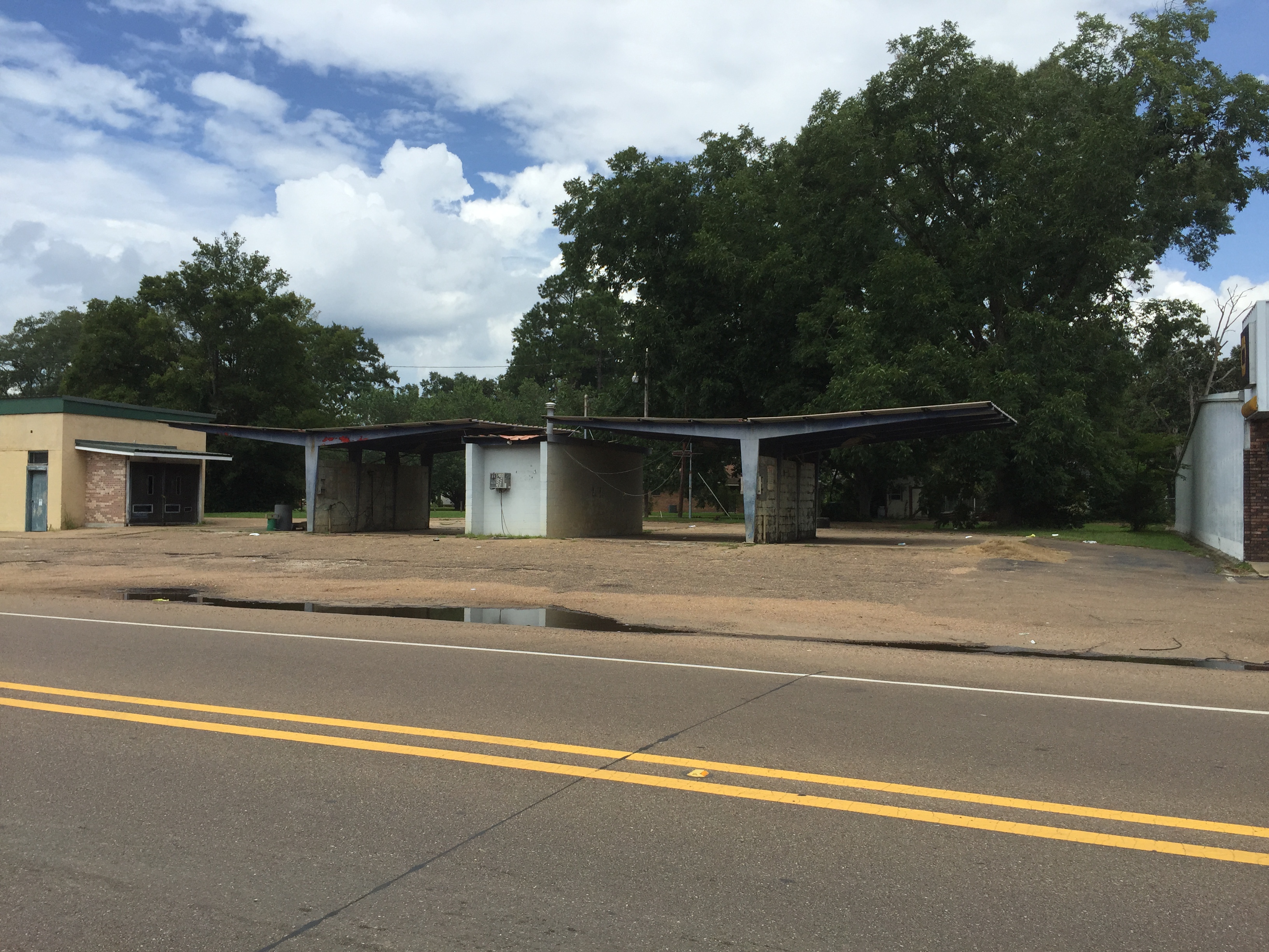
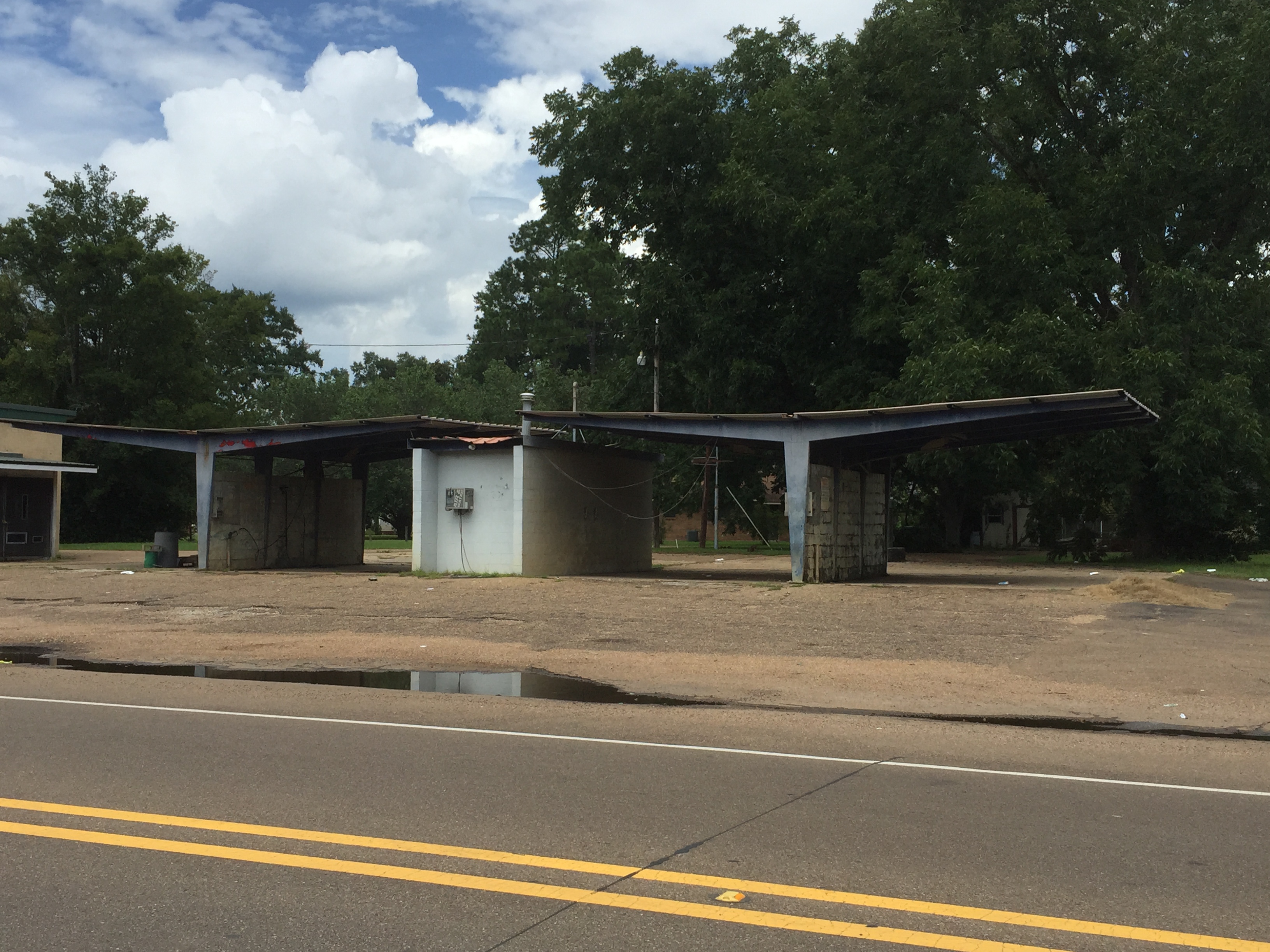
Self service car wash. Monticello, Miss.
Modern Office. Monticello, Mississippi
Topographic Map of Light Plant Road, Light Plant Rd, Monticello, MS, USA
Find elevation by address:

Places near Light Plant Road, Light Plant Rd, Monticello, MS, USA:
1400 Smith Lane
38 Lizzie Arnold Ln
Oak Grove Road
West Thomas E Jolly Drive
622 E Mcpherson Dr
Graham Avenue
Monticello
Brookhaven Street
Lawrence County
618 Carmel-new Hope Rd
42 Sycamore Dr
E Lincoln Rd, Monticello, MS, USA
Robert Tynes Road
60 Boutwell Rd, Monticello, MS, USA
Tom Sistrunk Road
Tilton
Rutland Road
Jayess
42 Oma Sugar Farm Rd, Monticello, MS, USA
111 New Home Church Rd
Recent Searches:
- Elevation of Shibuya Scramble Crossing, 21 Udagawacho, Shibuya City, Tokyo -, Japan
- Elevation of Jadagoniai, Kaunas District Municipality, Lithuania
- Elevation of Pagonija rock, Kranto 7-oji g. 8"N, Kaunas, Lithuania
- Elevation of Co Rd 87, Jamestown, CO, USA
- Elevation of Tenjo, Cundinamarca, Colombia
- Elevation of Côte-des-Neiges, Montreal, QC H4A 3J6, Canada
- Elevation of Bobcat Dr, Helena, MT, USA
- Elevation of Zu den Ihlowbergen, Althüttendorf, Germany
- Elevation of Badaber, Peshawar, Khyber Pakhtunkhwa, Pakistan
- Elevation of SE Heron Loop, Lincoln City, OR, USA