Elevation of E Lincoln Rd, Monticello, MS, USA
Location: United States > Mississippi > Lawrence County > Monticello >
Longitude: -90.226739
Latitude: 31.488503
Elevation: 146m / 479feet
Barometric Pressure: 100KPa
Elevation Map:
Satellite Map:
Related Photos:
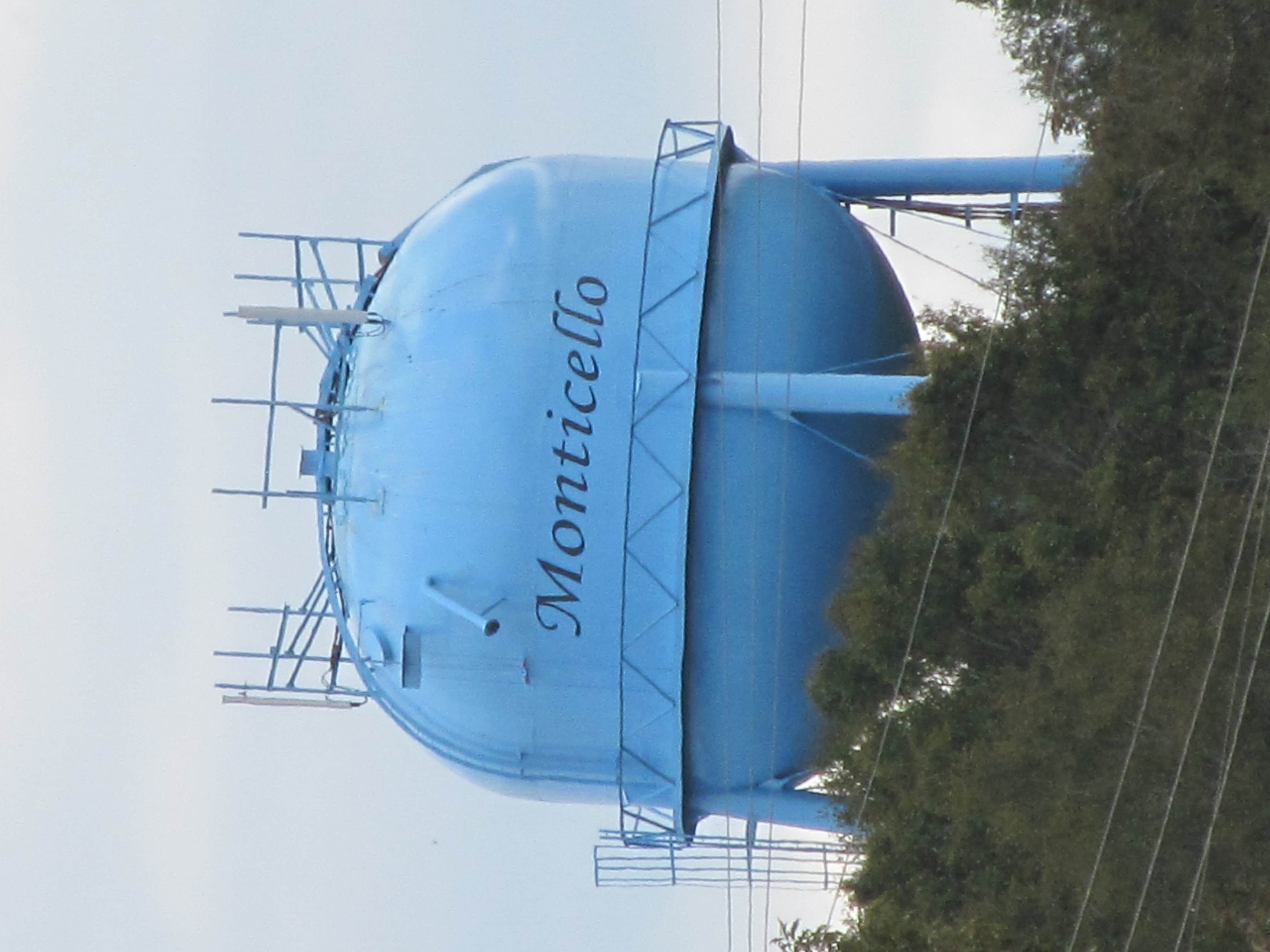
Monticello
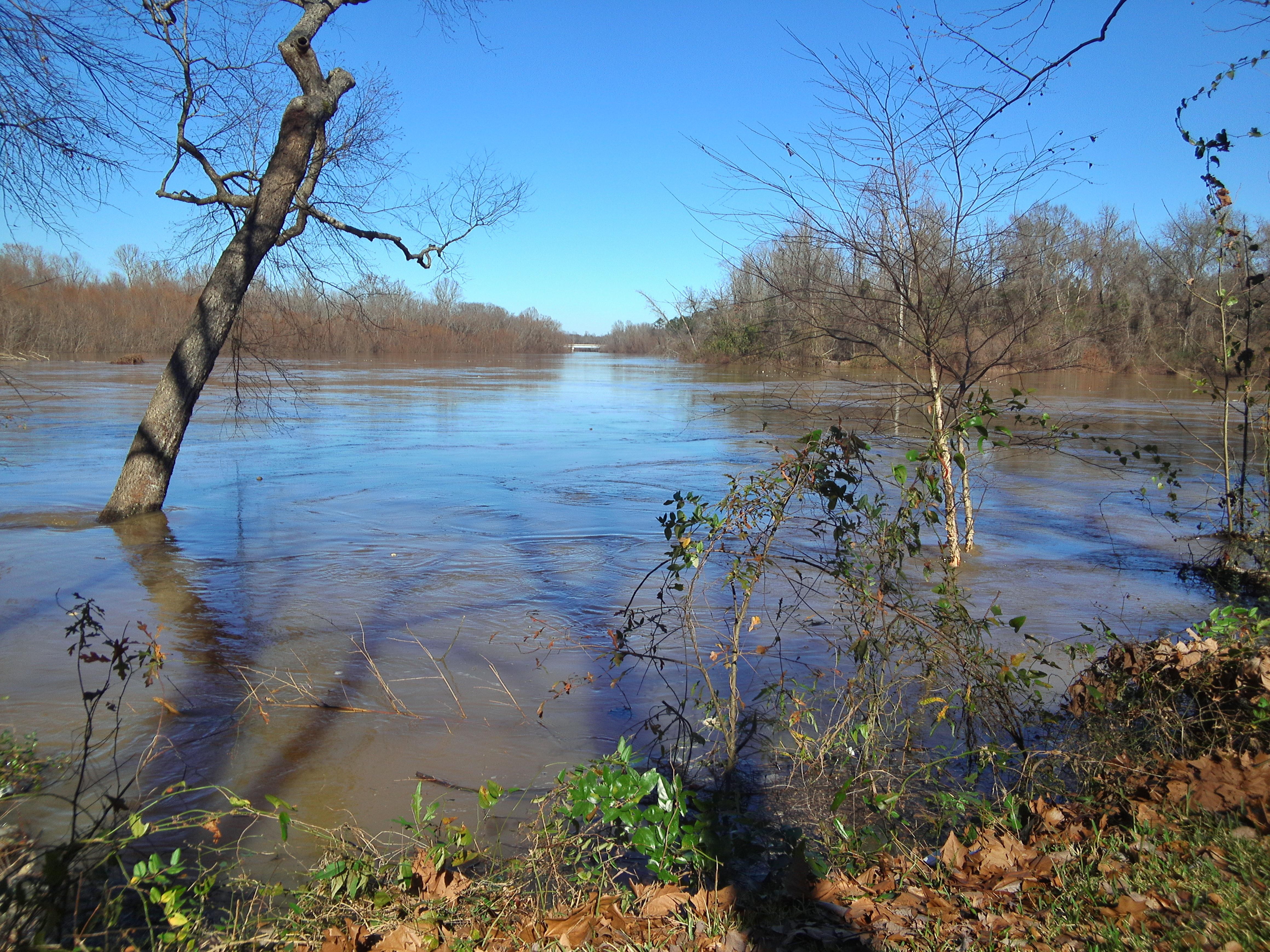
Pearl River

Summers Lane S.E.
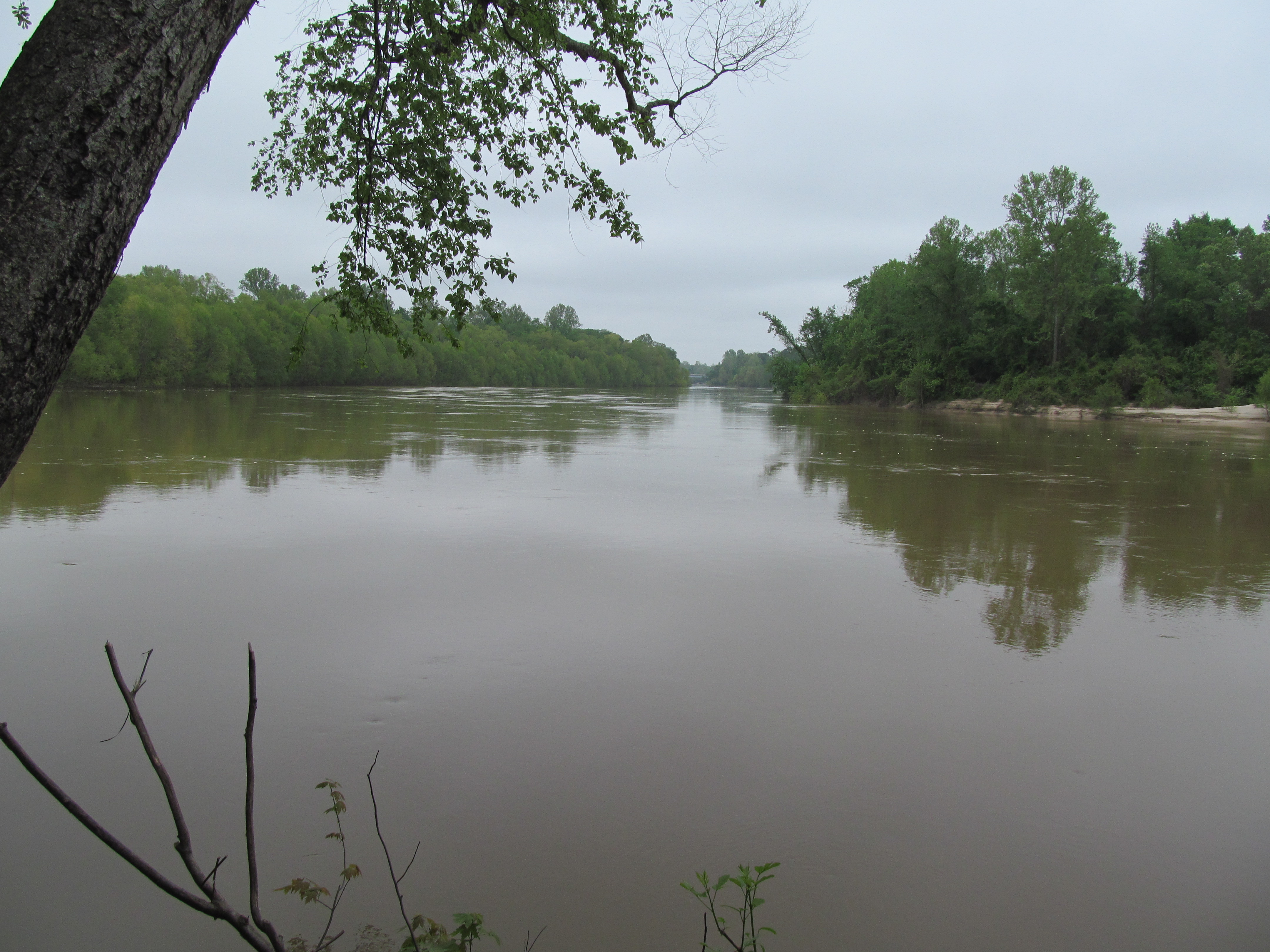
Pearl River
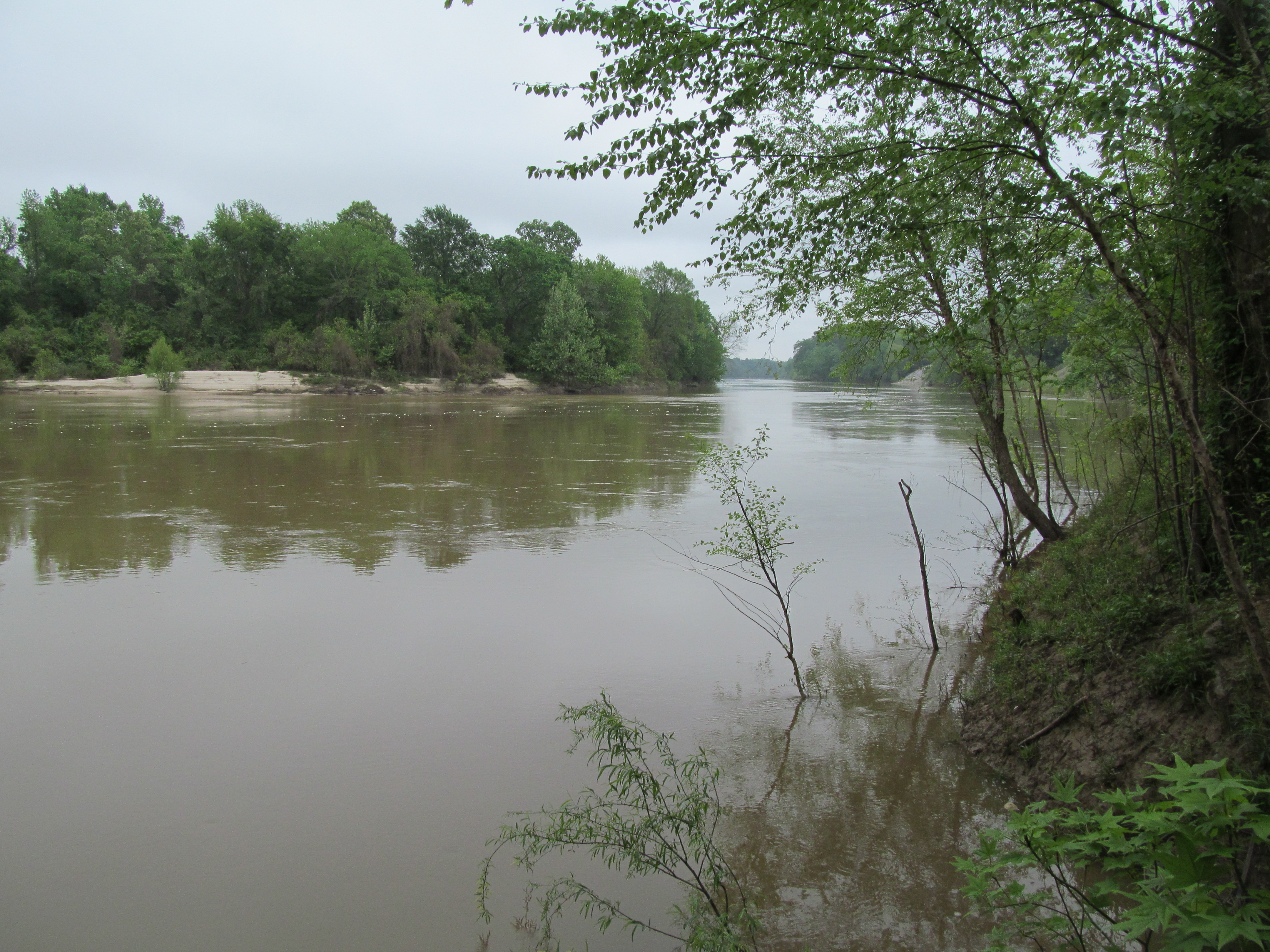
Pearl River

More Skins

Wild Roses

RR Xing

War Zone

You Moult Here Often?

Out with the New...

Molting Together

Group Meeting

Out & About

Noodle Jct.

Noodle Jct.

Power Up

Highway Hotel

Brianna Route 8

Brianna Route 8

Brianna Route 8

Brianna Route 8

Brianna Route 8

Sharp Curve

Sharp Curve

What R U Looking At?
Topographic Map of E Lincoln Rd, Monticello, MS, USA
Find elevation by address:

Places near E Lincoln Rd, Monticello, MS, USA:
42 Sycamore Dr
618 Carmel-new Hope Rd
Rutland Road
Robert Tynes Road
38 Lizzie Arnold Ln
Light Plant Road
1400 Smith Lane
Jayess
West Thomas E Jolly Drive
Graham Avenue
Oak Grove Road
Tom Sistrunk Road
622 E Mcpherson Dr
Brookhaven Street
Monticello
Lawrence County
1515 Burns Trail Se
1515 Burns Trail Se
325 Beartown Rd
2002 Mcewen Swamp Rd
Recent Searches:
- Elevation of Spaceport America, Co Rd A, Truth or Consequences, NM, USA
- Elevation of Warwick, RI, USA
- Elevation of Fern Rd, Whitmore, CA, USA
- Elevation of 62 Abbey St, Marshfield, MA, USA
- Elevation of Fernwood, Bradenton, FL, USA
- Elevation of Felindre, Swansea SA5 7LU, UK
- Elevation of Leyte Industrial Development Estate, Isabel, Leyte, Philippines
- Elevation of W Granada St, Tampa, FL, USA
- Elevation of Pykes Down, Ivybridge PL21 0BY, UK
- Elevation of Jalan Senandin, Lutong, Miri, Sarawak, Malaysia