Elevation of Smith Beach Rd, Cape Charles, VA, USA
Location: United States > Virginia > Northampton County > >
Longitude: -75.98744
Latitude: 37.367672
Elevation: 5m / 16feet
Barometric Pressure: 101KPa
Elevation Map:
Satellite Map:
Related Photos:

Antares Launch From Wallops Island

Aerial view of the refuge

Shorth of July-4323

Eastern Shore of Virginia National Wildlife Refuge

In our rear view
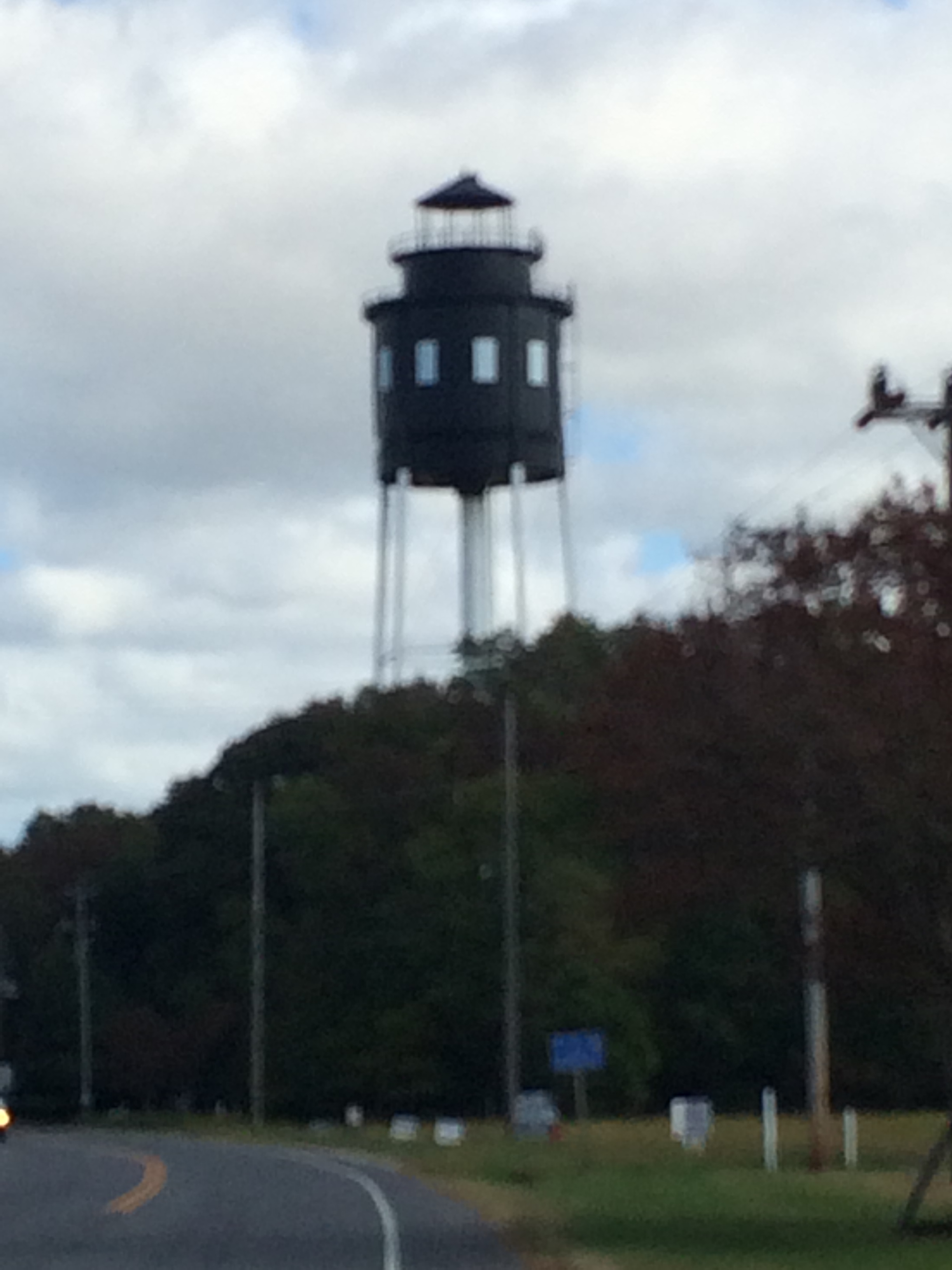
Cape Charles Lighthouse

The view from the moon.

DSC05925.JPG
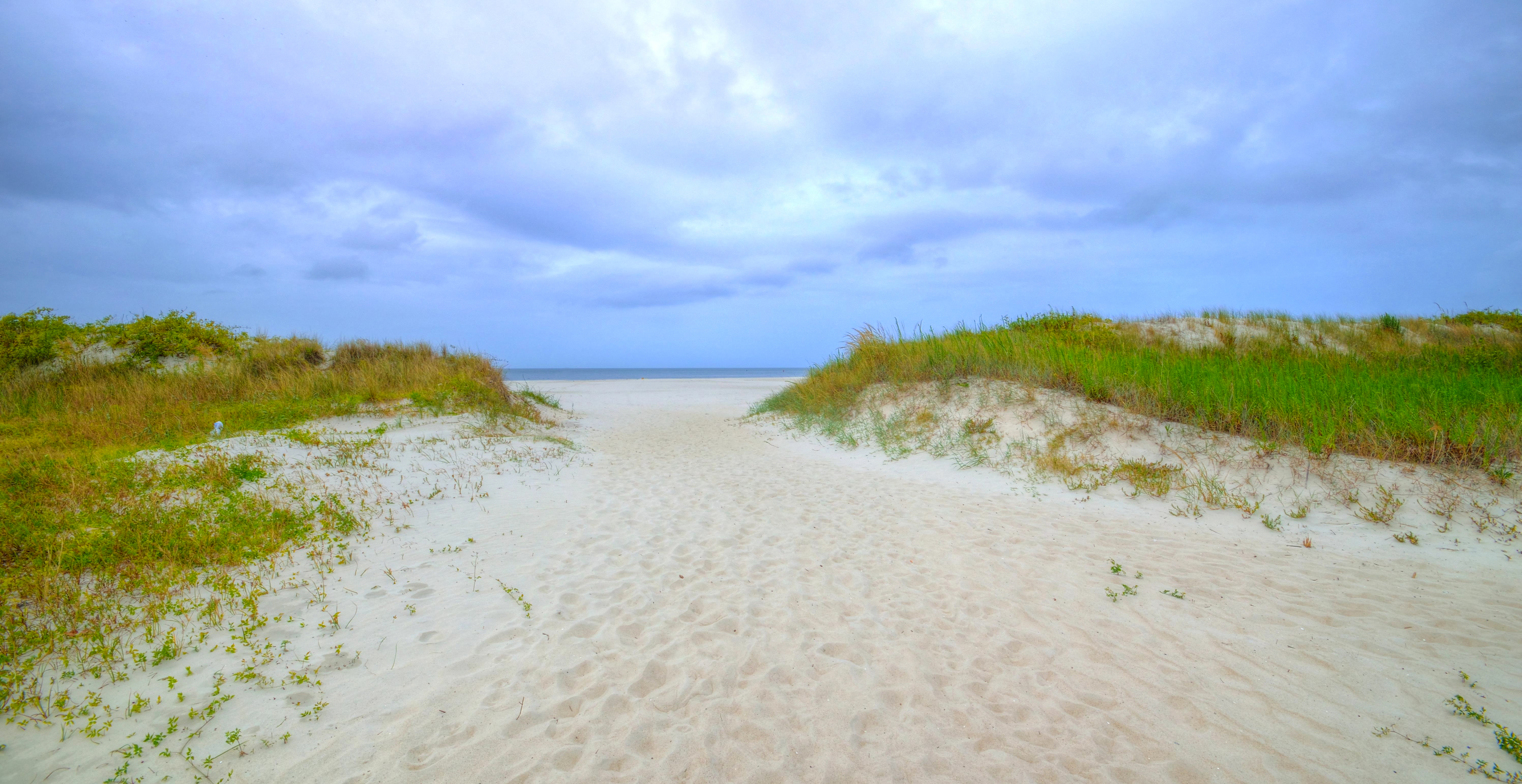
The Chesapeake Bay, at Cape Charles, Virginia

Tonight's set
Topographic Map of Smith Beach Rd, Cape Charles, VA, USA
Find elevation by address:

Places near Smith Beach Rd, Cape Charles, VA, USA:
Barlow Creek Ln, Cape Charles, VA, USA
3472 Barlow Creek Ln
4, VA, USA
Wilsonia Neck Dr, Machipongo, VA, USA
Wilsonia Drive
Peacock Lane
Quail Lane
11490 T-1510
T-1510
Sparrow Point Rd, Machipongo, VA, USA
Cheriton Cross Rd, Cape Charles, VA, USA
Cherrystone Resort Store
3157 Yarmouth Drive
11 Park Row
Cape Charles
110 T-1107
110 Harbor St
Cape Charles Medical Center: Clarke Mark G Md
Chesapeake
2185 Haven Beach Rd
Recent Searches:
- Elevation of Elwyn Dr, Roanoke Rapids, NC, USA
- Elevation of Congressional Dr, Stevensville, MD, USA
- Elevation of Bellview Rd, McLean, VA, USA
- Elevation of Stage Island Rd, Chatham, MA, USA
- Elevation of Shibuya Scramble Crossing, 21 Udagawacho, Shibuya City, Tokyo -, Japan
- Elevation of Jadagoniai, Kaunas District Municipality, Lithuania
- Elevation of Pagonija rock, Kranto 7-oji g. 8"N, Kaunas, Lithuania
- Elevation of Co Rd 87, Jamestown, CO, USA
- Elevation of Tenjo, Cundinamarca, Colombia
- Elevation of Côte-des-Neiges, Montreal, QC H4A 3J6, Canada