Elevation of Barlow Creek Ln, Cape Charles, VA, USA
Location: United States > Virginia > Northampton County > >
Longitude: -75.974583
Latitude: 37.3873138
Elevation: 3m / 10feet
Barometric Pressure: 101KPa
Elevation Map:
Satellite Map:
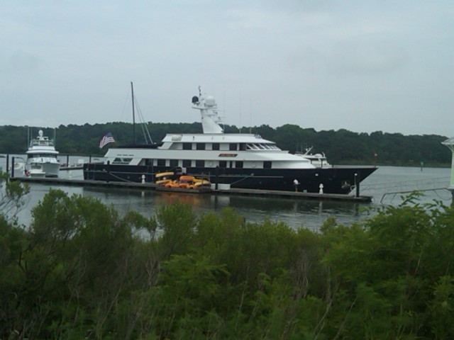
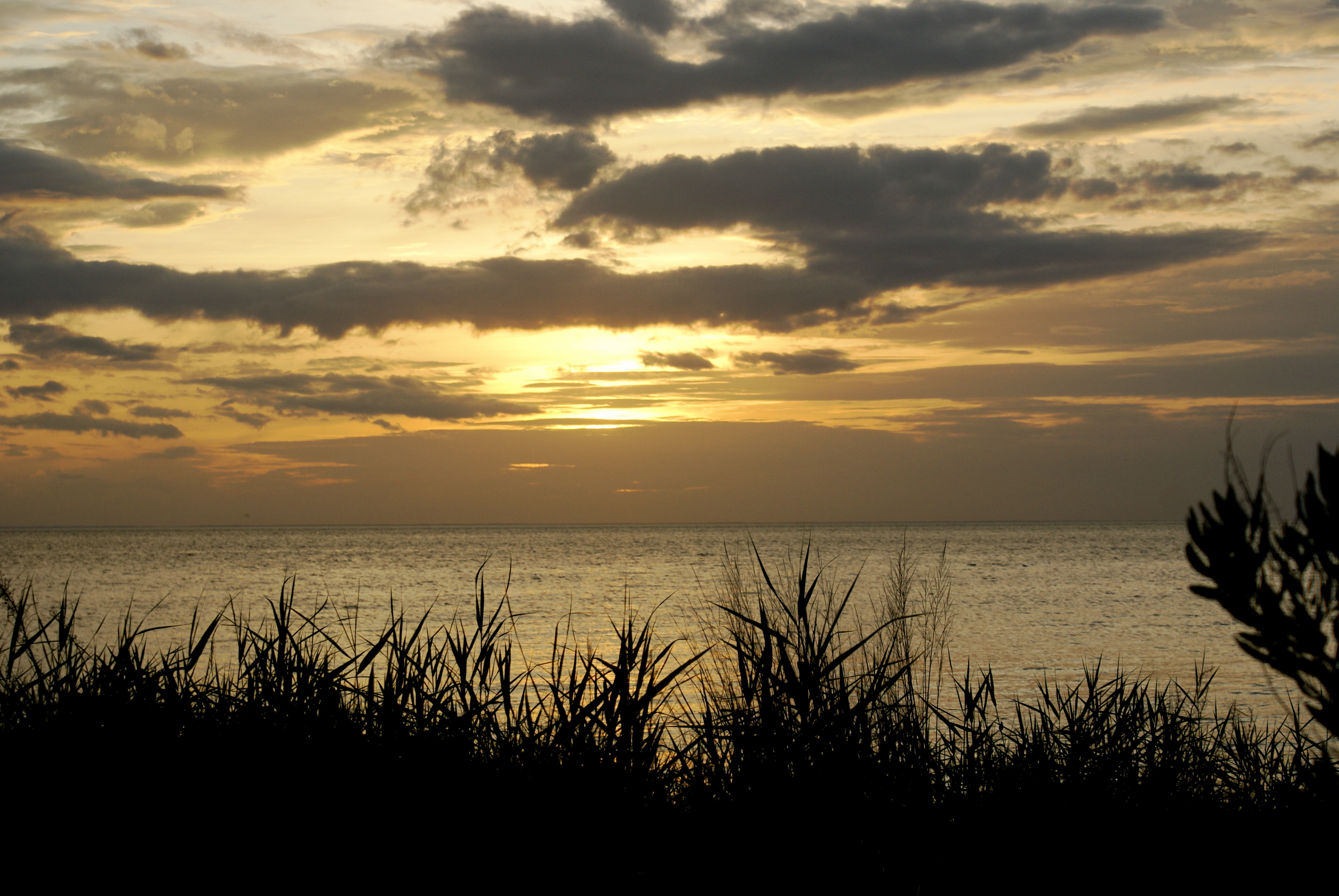
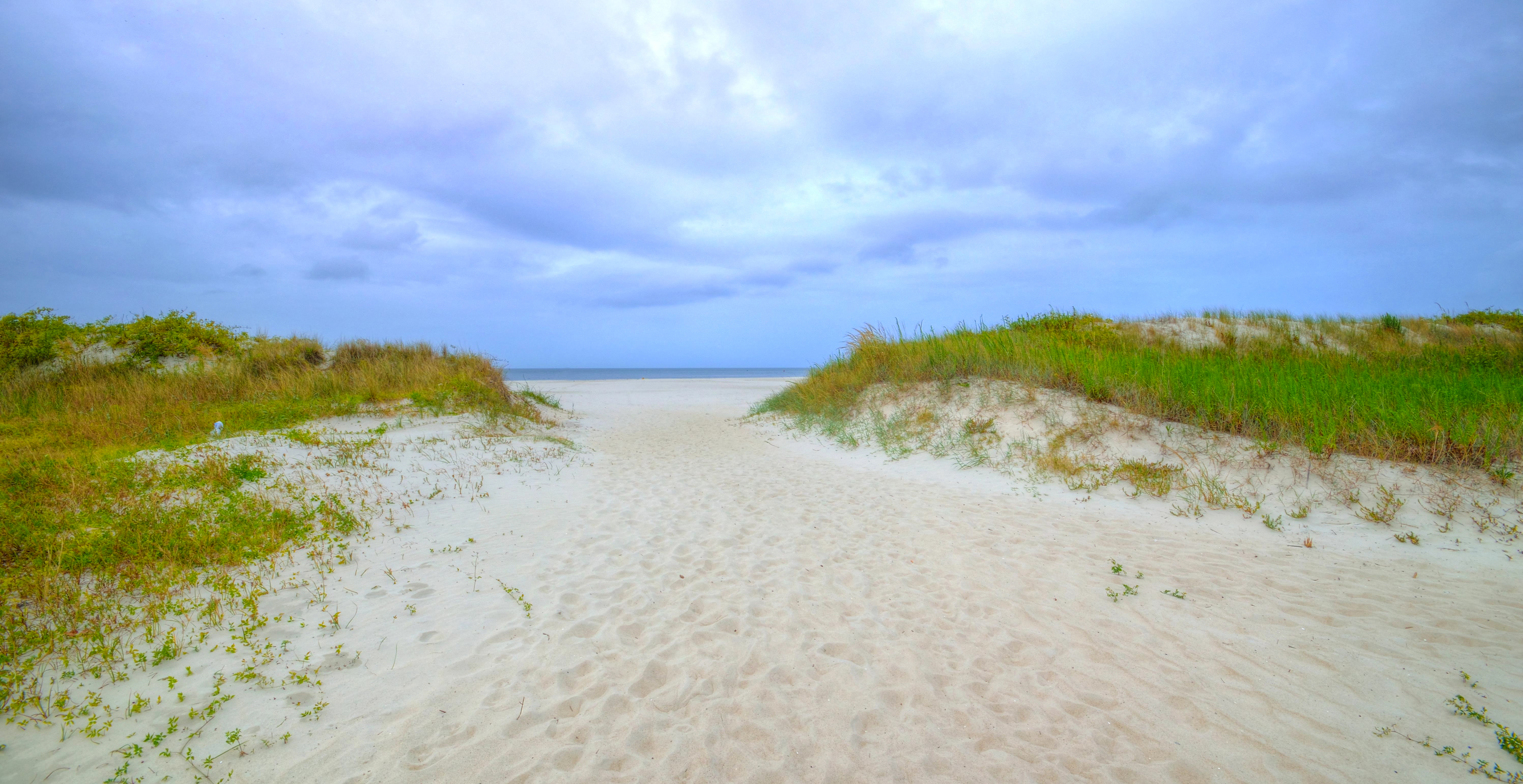
Related Photos:

Aerial view of the refuge

Shorth of July-4323

Eastern Shore of Virginia National Wildlife Refuge

The view from the moon.
In our rear view
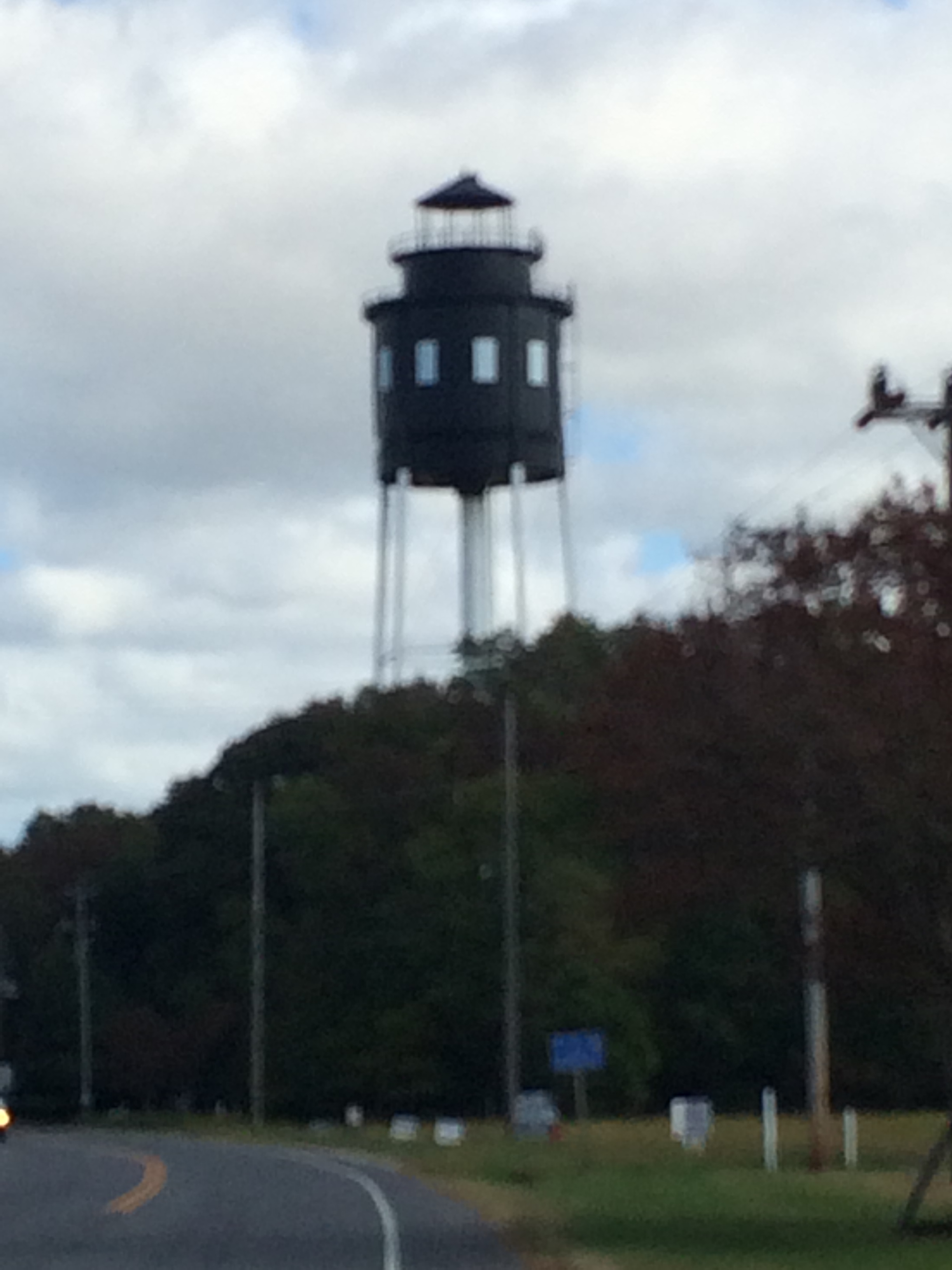
Cape Charles Lighthouse
DSC05925.JPG
The Chesapeake Bay, at Cape Charles, Virginia

DSC05938.JPG

2013-09-22_20-08-23
Topographic Map of Barlow Creek Ln, Cape Charles, VA, USA
Find elevation by address:

Places near Barlow Creek Ln, Cape Charles, VA, USA:
3472 Barlow Creek Ln
4, VA, USA
Wilsonia Neck Dr, Machipongo, VA, USA
15638 Smith Beach Rd
Wilsonia Drive
Peacock Lane
Quail Lane
11490 T-1510
Sparrow Point Rd, Machipongo, VA, USA
T-1510
Cheriton Cross Rd, Cape Charles, VA, USA
Cherrystone Resort Store
3157 Yarmouth Drive
11 Park Row
Cape Charles
110 T-1107
110 Harbor St
Cape Charles Medical Center: Clarke Mark G Md
Chesapeake
2185 Haven Beach Rd
Recent Searches:
- Elevation of Elwyn Dr, Roanoke Rapids, NC, USA
- Elevation of Congressional Dr, Stevensville, MD, USA
- Elevation of Bellview Rd, McLean, VA, USA
- Elevation of Stage Island Rd, Chatham, MA, USA
- Elevation of Shibuya Scramble Crossing, 21 Udagawacho, Shibuya City, Tokyo -, Japan
- Elevation of Jadagoniai, Kaunas District Municipality, Lithuania
- Elevation of Pagonija rock, Kranto 7-oji g. 8"N, Kaunas, Lithuania
- Elevation of Co Rd 87, Jamestown, CO, USA
- Elevation of Tenjo, Cundinamarca, Colombia
- Elevation of Côte-des-Neiges, Montreal, QC H4A 3J6, Canada