Elevation of Sleeping Oak Drive, Sleeping Oak Dr, Yorba Linda, CA, USA
Location: United States > California > Orange County > Yorba Linda >
Longitude: -117.73205
Latitude: 33.8851043
Elevation: 151m / 495feet
Barometric Pressure: 100KPa
Elevation Map:
Satellite Map:
Related Photos:
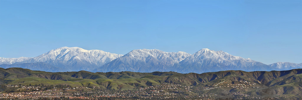
Hiking Higher

Papa Bird and 3 Sons --- Western Bluebird, Sialia mexicana --- EXPLORED
House at E. Palmyra Ave & S. Orange St.

Anna's Hummingbird (fem) 028 --- EXPLORED!

A Cold Soda

1938 Buick 5-Passenger Convertible Century Streamline Sport Phaeton, Model 60-C

Aerial View of Orange, California, 1952
Pomona, California

Yellow mums with aphids
Orange Circle Street Scene
View from Orange County Mining Co. Restaurant
Friday night cocktails with a view.

Jazz Duo

F-22 Raptor & Heritage Flight : USAF F-22 Raptor Demonstration Team & Vintage Fighter Aircraft Heritage Flight
View from Orange Hill Restaurant

2002 Mercedes Benz AMG CLK 430 Coupe --- EXPLORED October 25, 2014 #172

Emerging rose of sharon

My Pad Or Yours
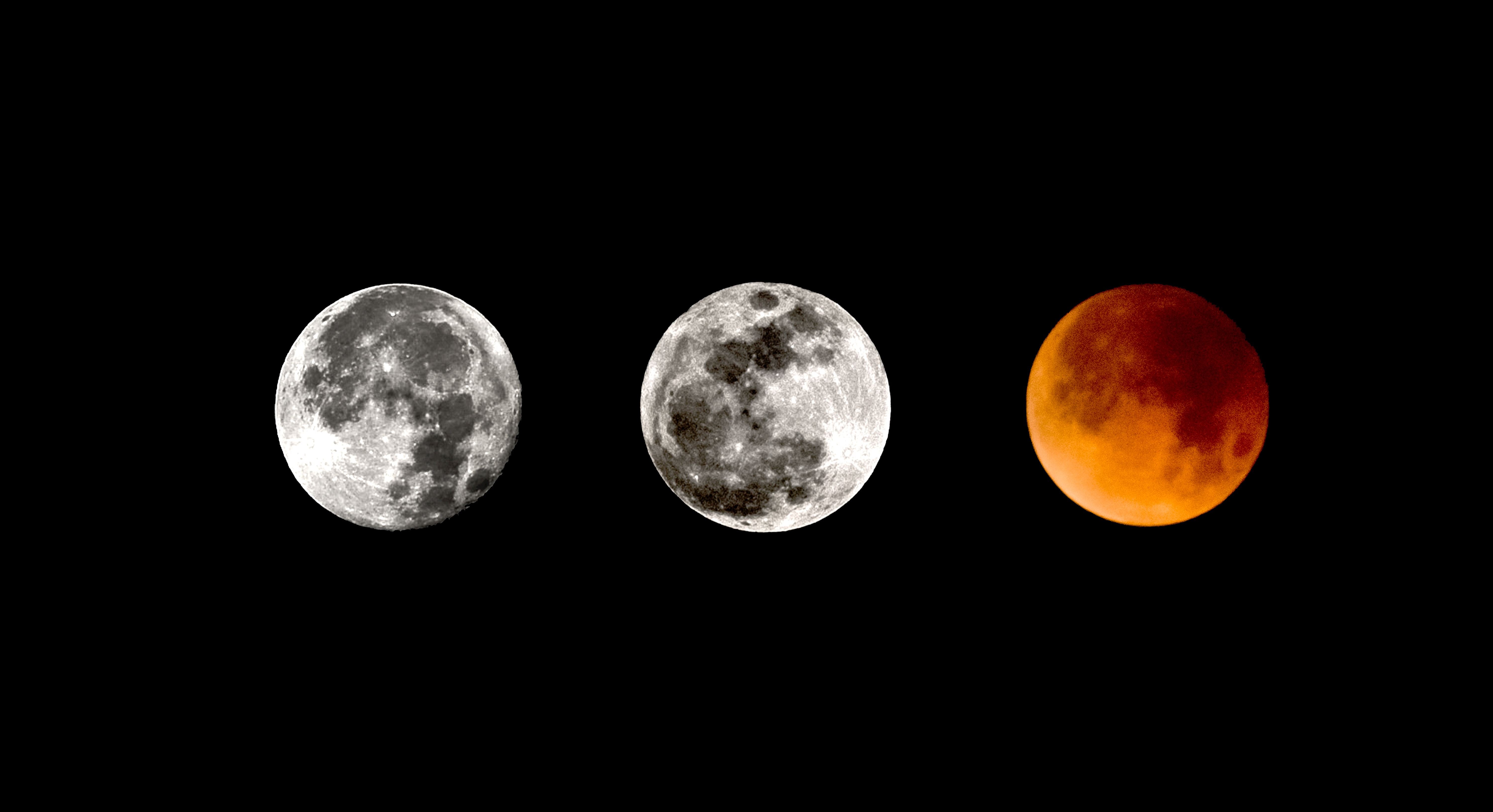
2017/18 Supermoon Trilogy Triptych

A fractal of a day today

Ring-billed Gull

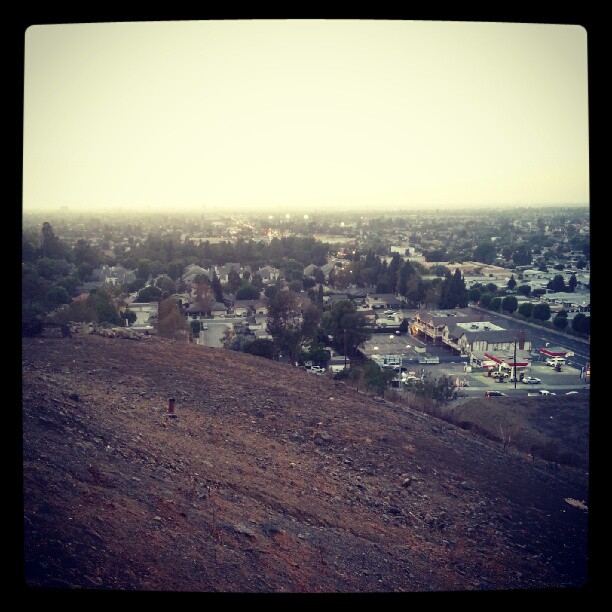
Telegraph Canyon 116
Tranquillité

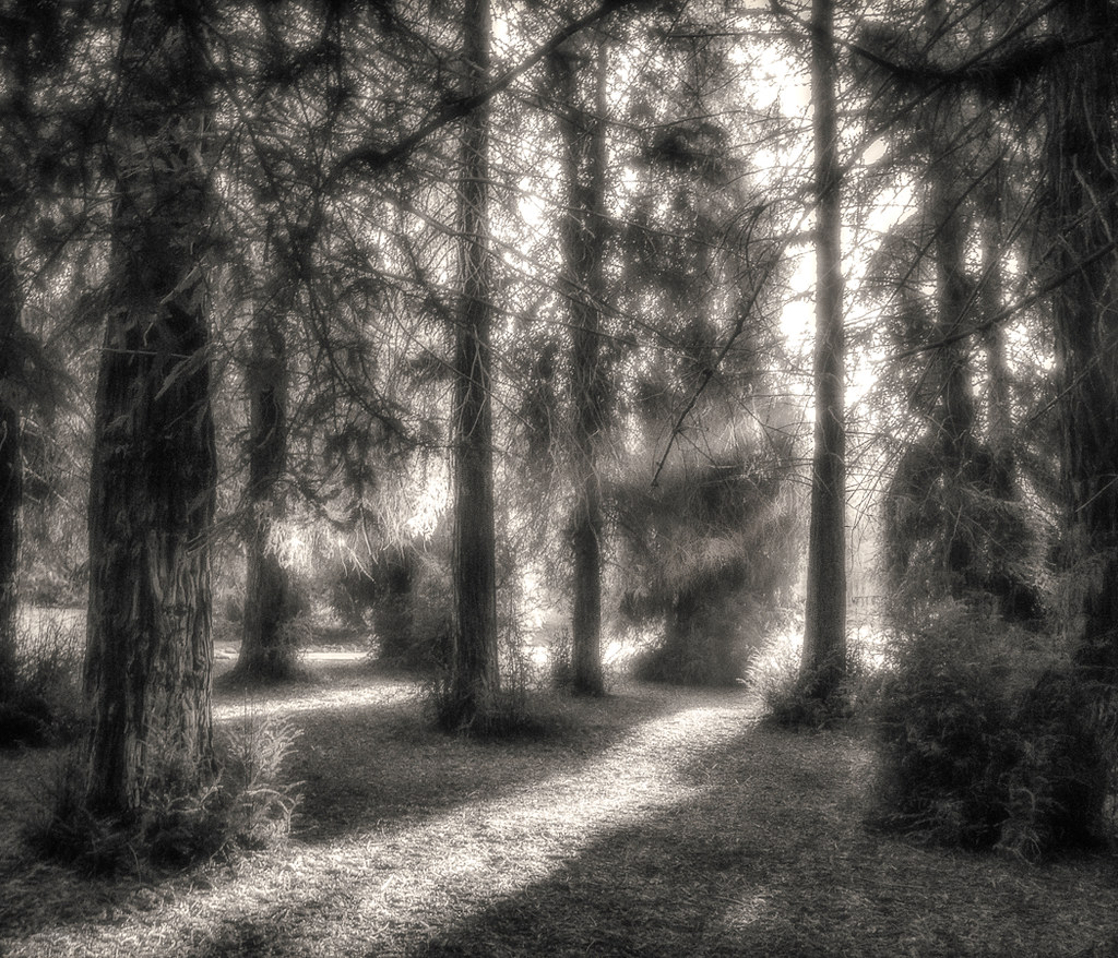
Sunset in the Redwood Forest

A Redwood Forest Landscape

Keeping company
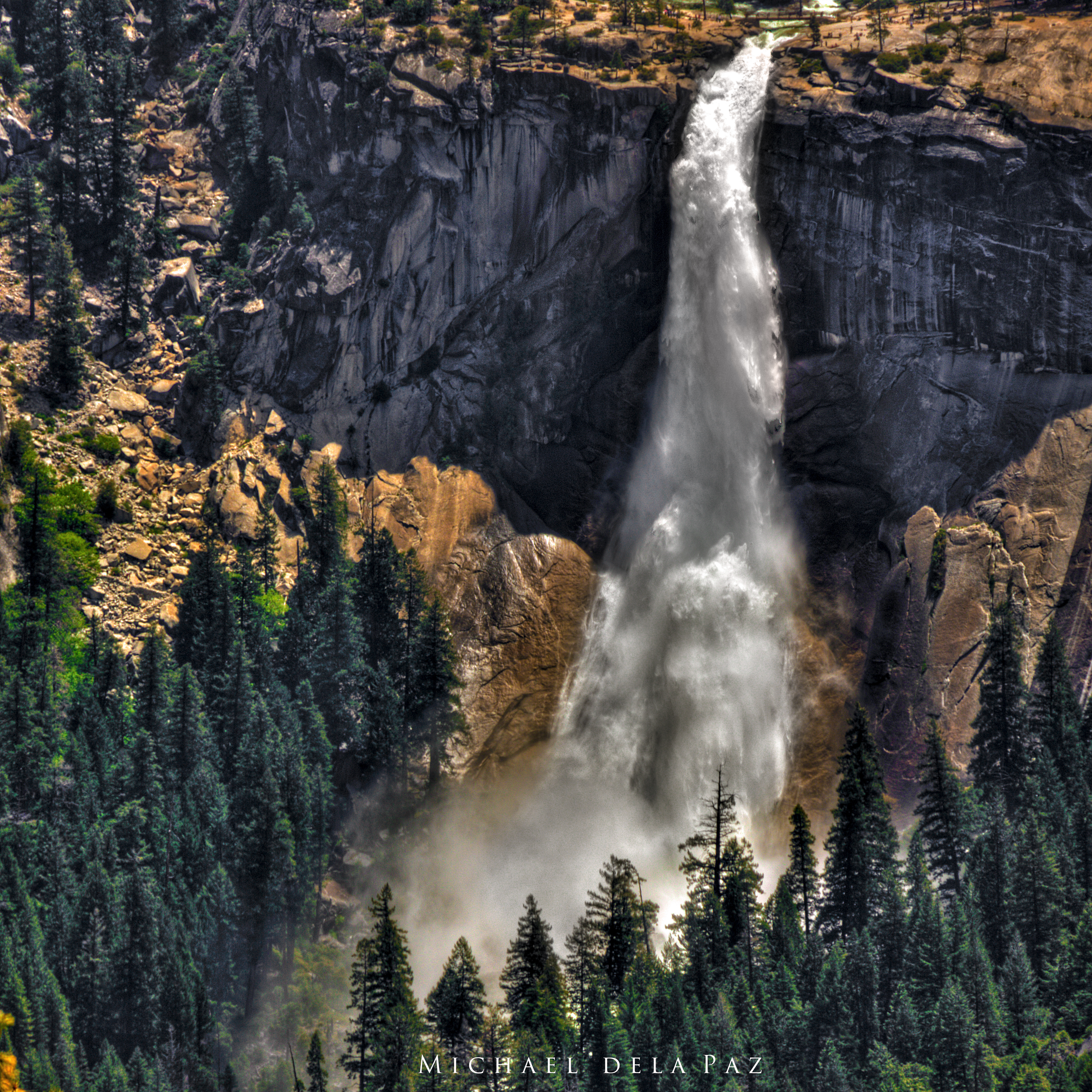
Nevada Falls
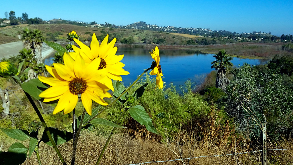
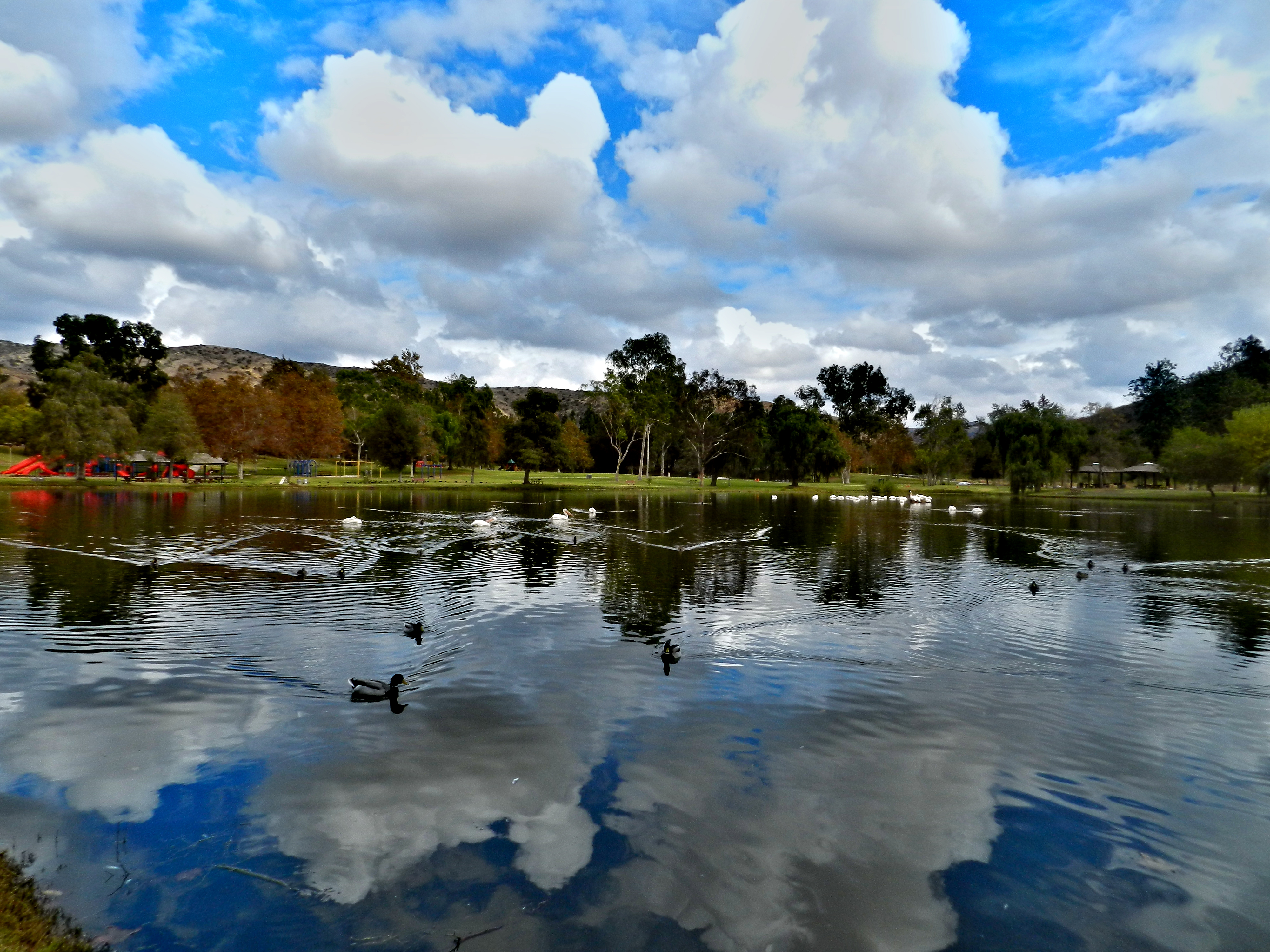
California Sunflower with Peters Canyon Lake
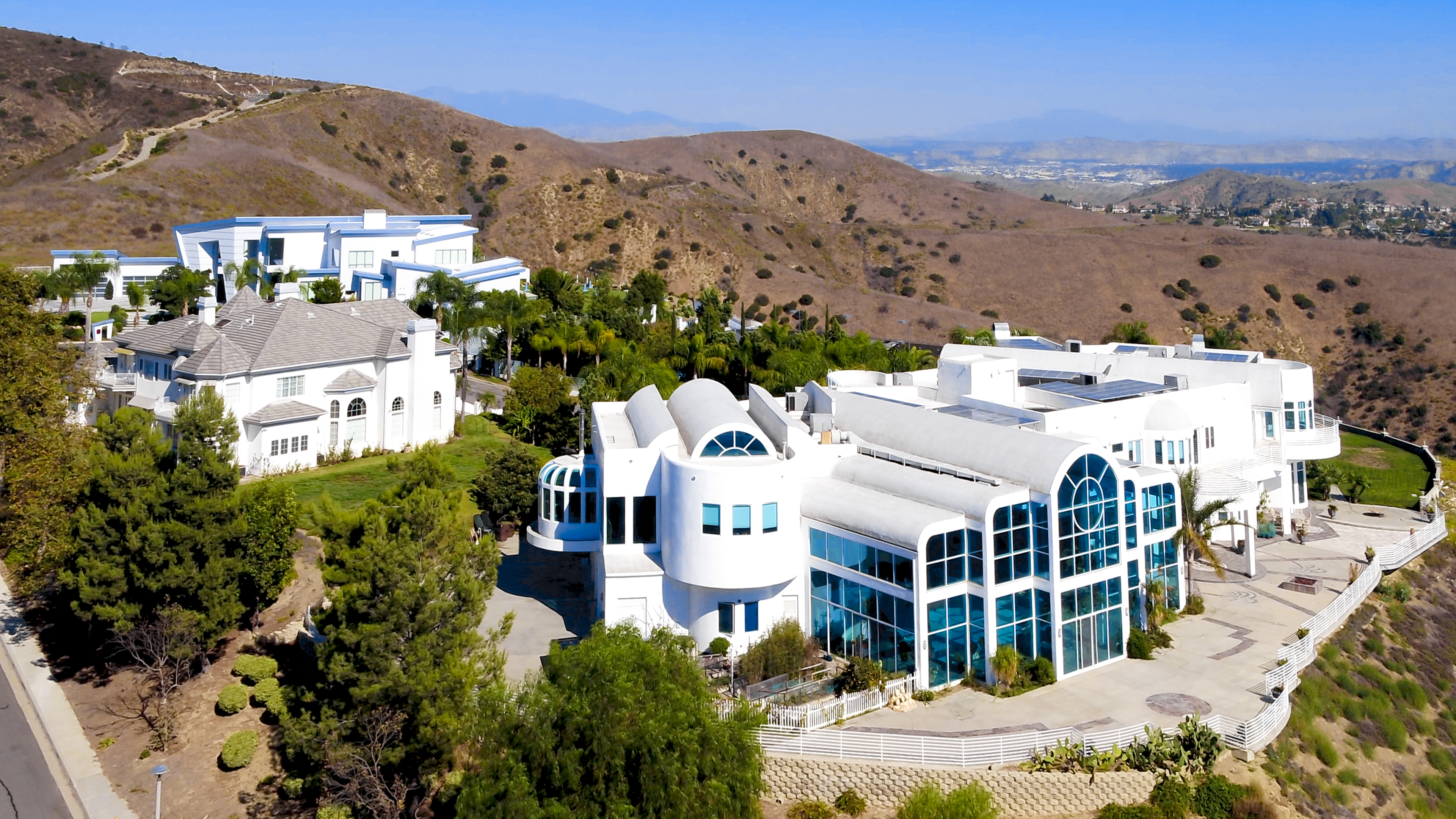
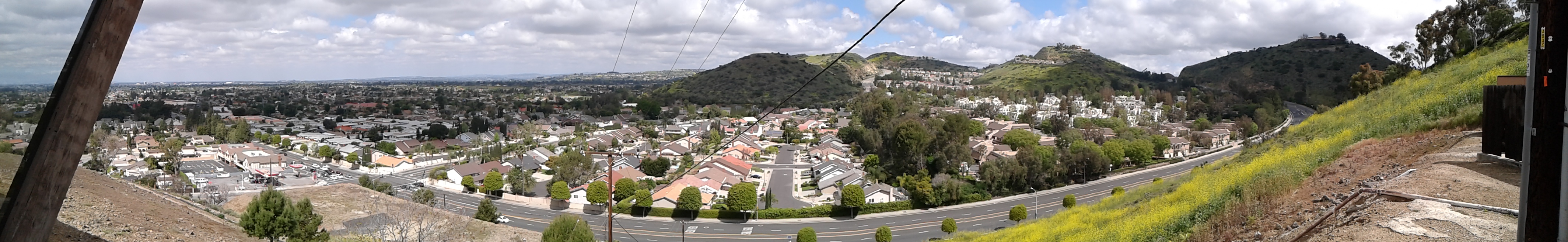
Lives of the Rich in Yorba Linda

Bending Redwood Forest
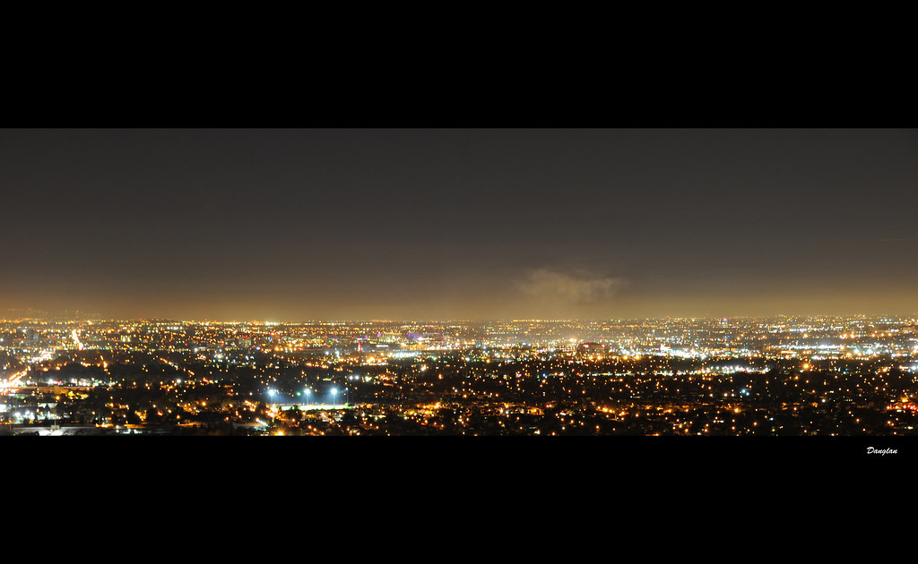
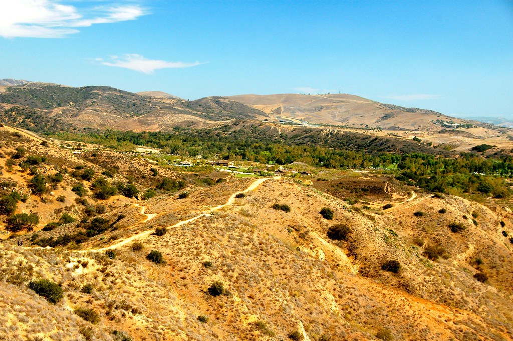
Los Angeles & Orange County Mountains 3/3/2015 -

Making Entry
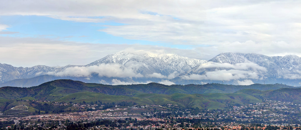
San Gabriel Mountains around the LA & Orange County area - March 1, 2015

Sunset in the Empty Forest
Chino Hills 5630
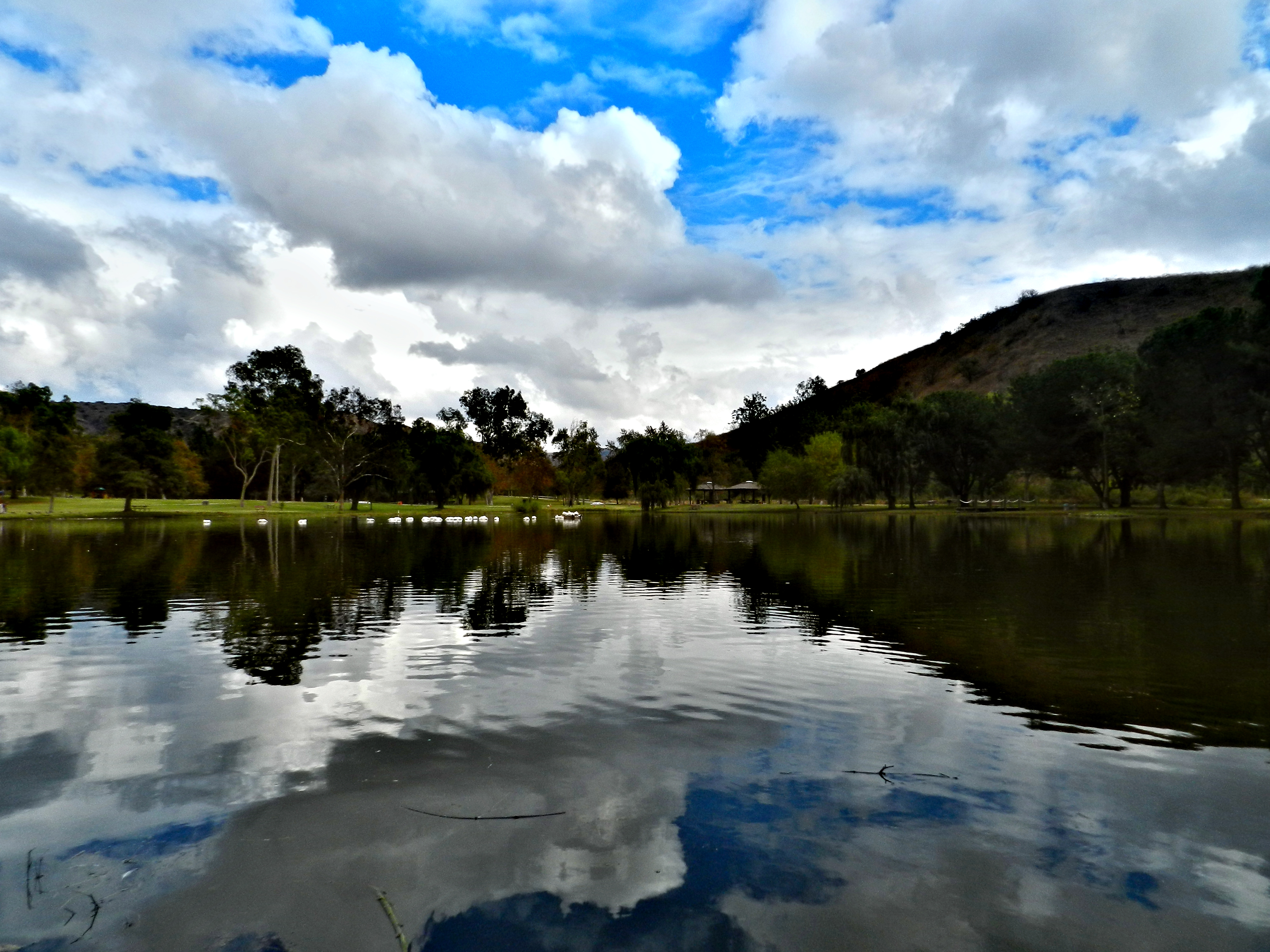
Carbon Canyon Lake
Carbon Canyon 42
Irvine Regional Park from Mountain Goat Overlook

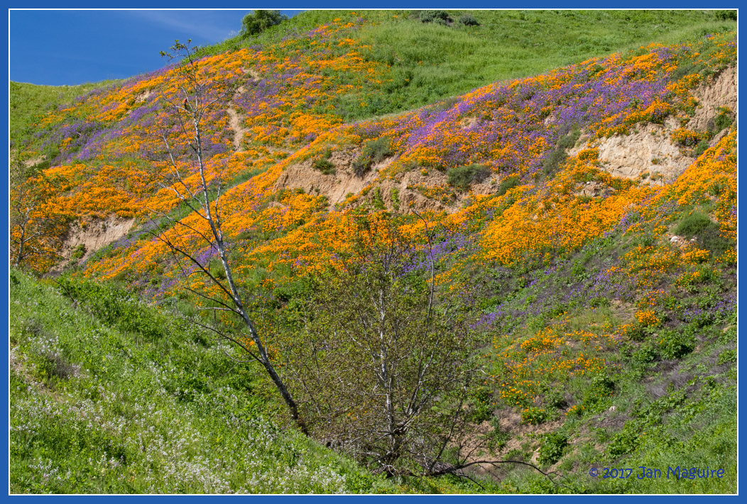
Desert come to life
Hipstamatic_Winter_2013-2014_Musing__025

rolling blues and golds
Topographic Map of Sleeping Oak Drive, Sleeping Oak Dr, Yorba Linda, CA, USA
Find elevation by address:

Places near Sleeping Oak Drive, Sleeping Oak Dr, Yorba Linda, CA, USA:
Hidden Hills Road
5005 Hidden Glen Ln
Hidden Glen Ln, Yorba Linda, CA, USA
4910 Fairwood Cir
22725 Savi Ranch Pkwy
5833 Portsmouth Rd
5510 Cam De Bryant
490 S Beechtree Ct
27800 Ben Nevis Way
Ben Nevis Way
6030 Rockhampton Ct
Canyon Rv Park
731 S Weir Canyon Rd #147
5280 Vía Mariposa
N Jenifer Dr, Anaheim, CA, USA
River Bend Road
951 S Silver Star Way
8721 E Wiley Way
5311 Vía Vicente
925 S Cottontail Ln
Recent Searches:
- Elevation of Leguwa, Nepal
- Elevation of County Rd, Enterprise, AL, USA
- Elevation of Kolchuginsky District, Vladimir Oblast, Russia
- Elevation of Shustino, Vladimir Oblast, Russia
- Elevation of Lampiasi St, Sarasota, FL, USA
- Elevation of Elwyn Dr, Roanoke Rapids, NC, USA
- Elevation of Congressional Dr, Stevensville, MD, USA
- Elevation of Bellview Rd, McLean, VA, USA
- Elevation of Stage Island Rd, Chatham, MA, USA
- Elevation of Shibuya Scramble Crossing, 21 Udagawacho, Shibuya City, Tokyo -, Japan